Cown Edge, Coombes Edge and Robin Hoods Picking Rods | 4.5 Miles
This walk explores a quieter part of the Peak District visiting the site of the Cown Edge trig point (sadly demolished), Coombes Edge and Robin Hood’s Picking Rods. This 4.5 mile will give big views, steady walking and varied terrain, making it a perfect morning walk in the Peak District.
What to Expect
- Distance: 4.5 miles, so allow around 2 to 3 hours if you’re walking at a leisurely pace
- Terrain: A mix of field paths, stony tracks, open moorland edges.
- Ascent: A short sharp climb up to Cown Edge, and then another climb later in the walk up to Coombs Edge.
- Underfoot conditions: Expect mud and wet ground after rain.
- Weather: The edges are a little exposed, so will feel colder on a windy day. Pack layers and waterproofs, even on a fine day.
- Navigation: Paths are generally clear and well marked.
- Footwear: Walking boots with good grip are strongly recommended.
- Facilities: There are none on this walk, but the Lamb Inn and Lantern Pike aren’t far, and the village of Charlesworth is a short drive away.
- Busyness: One of the quieter parts of the Peak District, you’ll probably only happen across a few mountain bikers using the bridleway.
Route Highlights
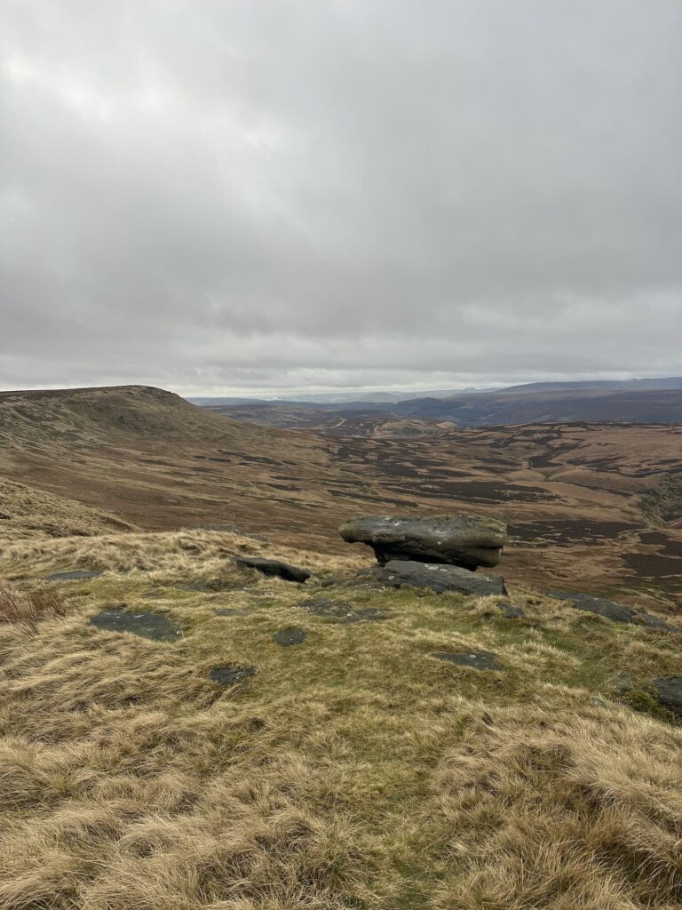
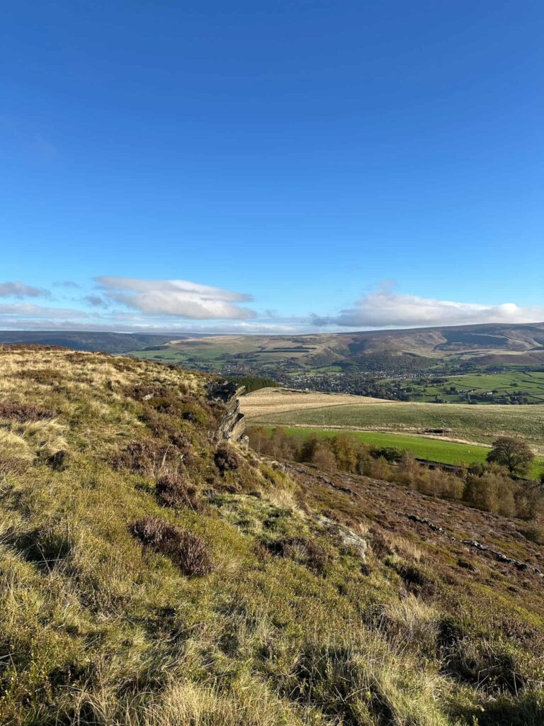
- Cown Edge: Cown Edge is a long gritstone ridge just south west of Glossop, sitting on the far western fringe of the Peak District. It’s partly quarried, with views stretching across to Kinder Scout on one side and out towards Greater Manchester on the other, and it’s a key stretch of the Cown Edge Way, a route that runs from Hazel Grove to Gee Cross.
- Coombes Edge: Coombes Edge is the dramatic western headland where the Peak District’s hills end abruptly, dropping away in crags above the village of Charlesworth. The ancient Monks’ Road runs for two miles across the moor to reach it, a route used in the Middle Ages by the monks of Basingwerk Abbey in North Wales to reach villages like Hayfield, and it descends into Charlesworth by an eye-wateringly steep gradient.
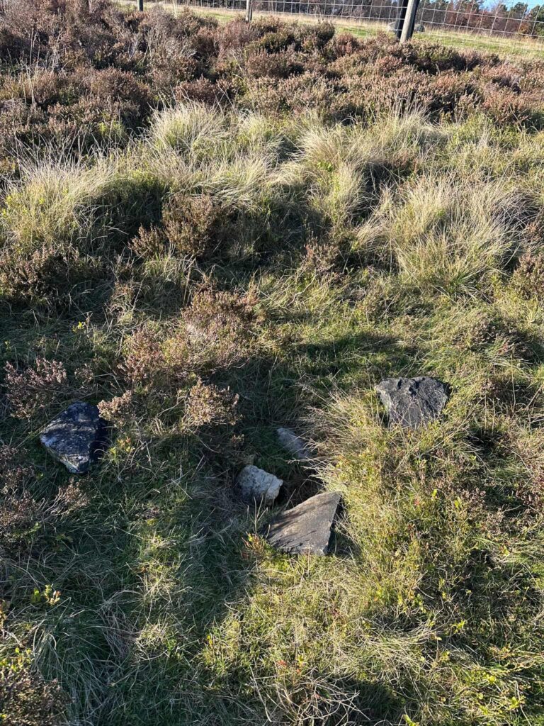
- Cown Edge trig point: The summit of Cown Edge Rocks was once marked by an Ordnance Survey trig pillar, recorded at around 411 metres, but the pillar was destroyed some years ago and only fragments remain, lying down the hillside below the top. The remains of the Cown Edge trig point sit at SK 02156 92038.
- Ridge-top views: Enjoy open skies and an airy feel as you walk Cown Edge, with stunning views down the valley.
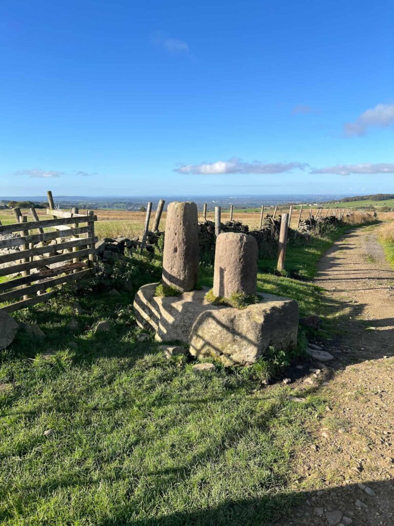
- Robin Hood’s Picking Rods: Legend says that Robin Hood strung his bow on these (or that he shot an arrow at them to win freedom for a fair maiden). They’re actually the remains of an Anglo-Saxon wayside and boundary cross and a scheduled protected monument, sitting right on the boundary of the Peak District.
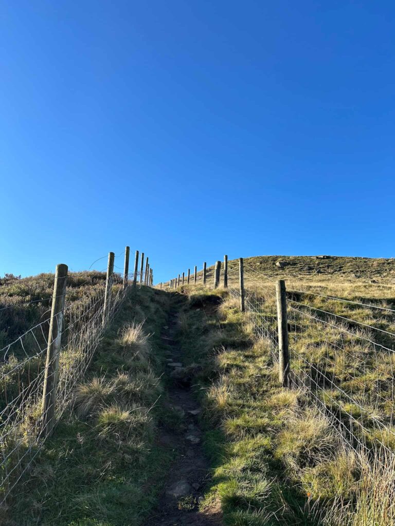
The walk starts from a layby on Monks Road. We turned left from the parking area and followed the road for around 300 yards to pick up the footpath which runs up to Cown Edge. This is a steep but relatively short slog up. Partway up there’s a stile on the left – if you want to visit the remains of the Cown Edge trig point, hop over this and follow the fence line up to the top.
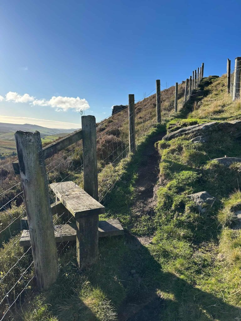
There’s a dip in the ground, and some fragments of concrete, which is all that remains of the Cown Edge trig point which once sat at the summit of Cown Edge at 411m. It was demolished some years back, so doesn’t appear on the Peak District trig points challenge list. I’ve had a screenshot of it’s location saved in my phone for about 3 years so I was glad to get it visited!
Back on the correct side of the fence, we passed a large quarried area and then turned right to walk across the mouth of the quarry to a stile. Over the stile, we walked along Coombes Rocks, which has stunning views over towards Manchester.
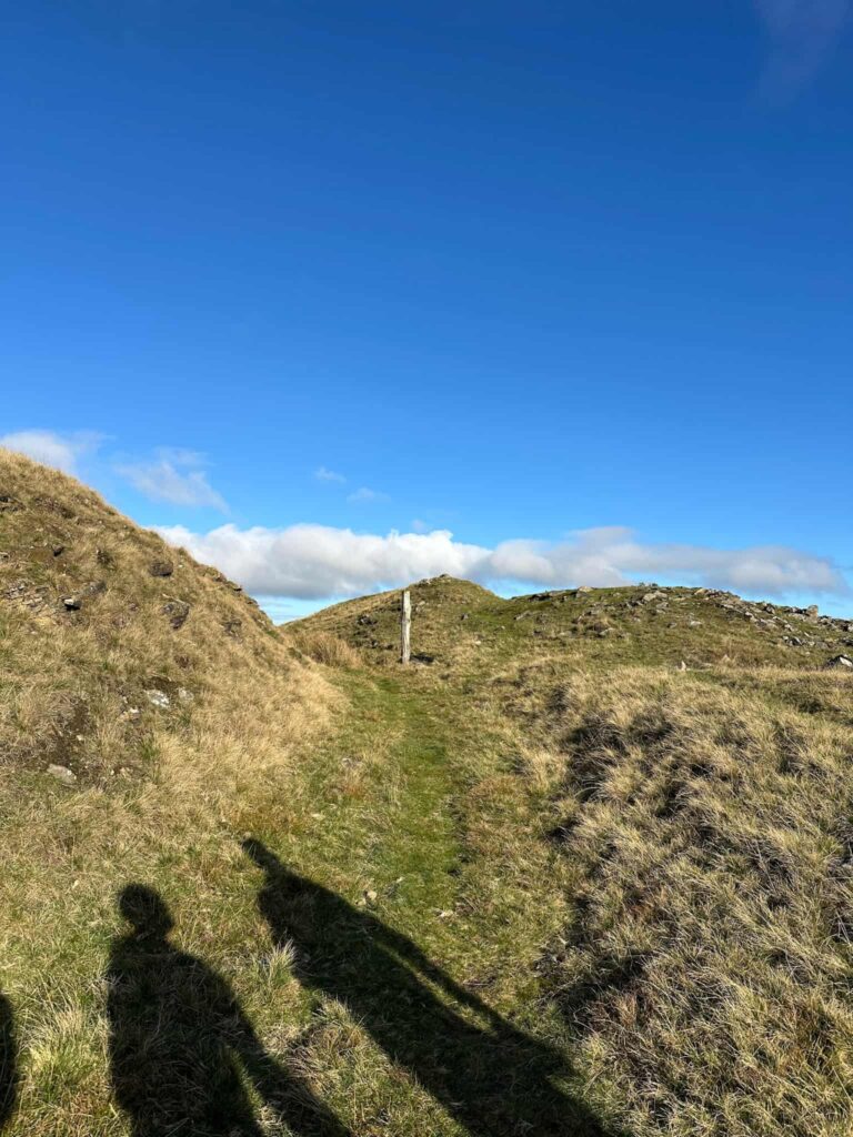
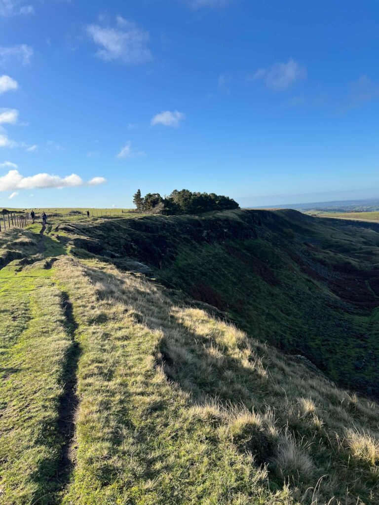
The path forks, and we took the left fork to cross the fields and join the Cown Edge Way, which runs down a gravel track towards Robin Hood’s Picking Rods. These large sandstone wayside crosses are easy to spot as you near, and sit roughly on the boundary of the Peak District.
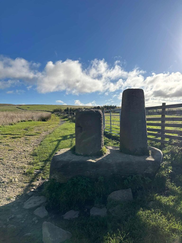
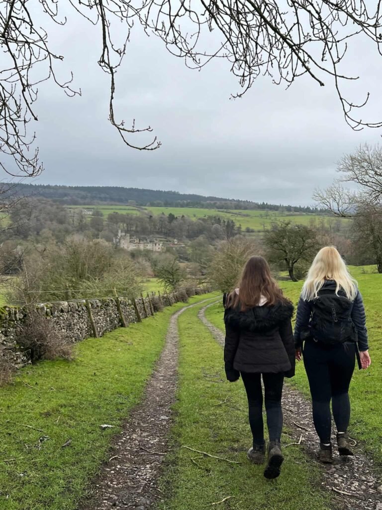
We passed Robin Hood’s Picking Rods and carried on the track to reach a gate. Turning right, we passed through another gate through a field with a large barn, and then down a farm track which leads through some really pretty cottages and farm buildings at Moorside.
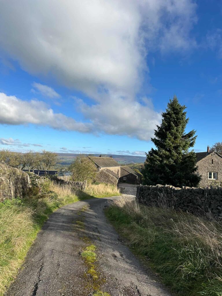
There’s two large gates – we took the one on the right with a sign asking you to shut the gate (despite what the sheep say!), and we passed through, heading down the fields towards another farm with a large outdoor arena. The footpath runs through the farm and into woodland beyond, crossing a stream.
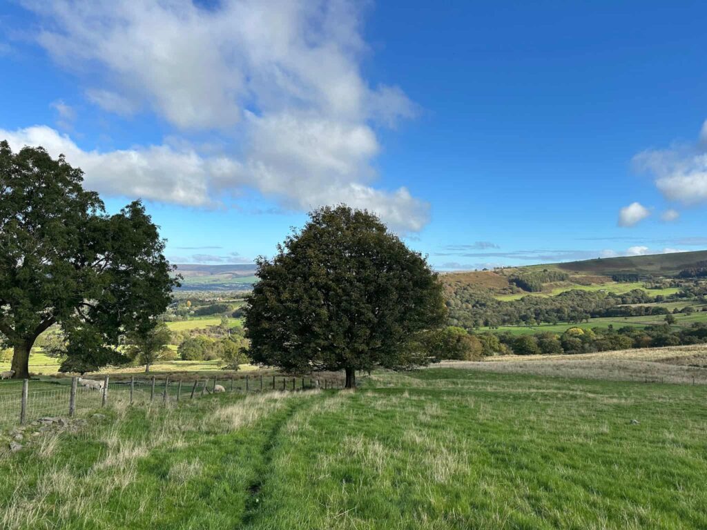
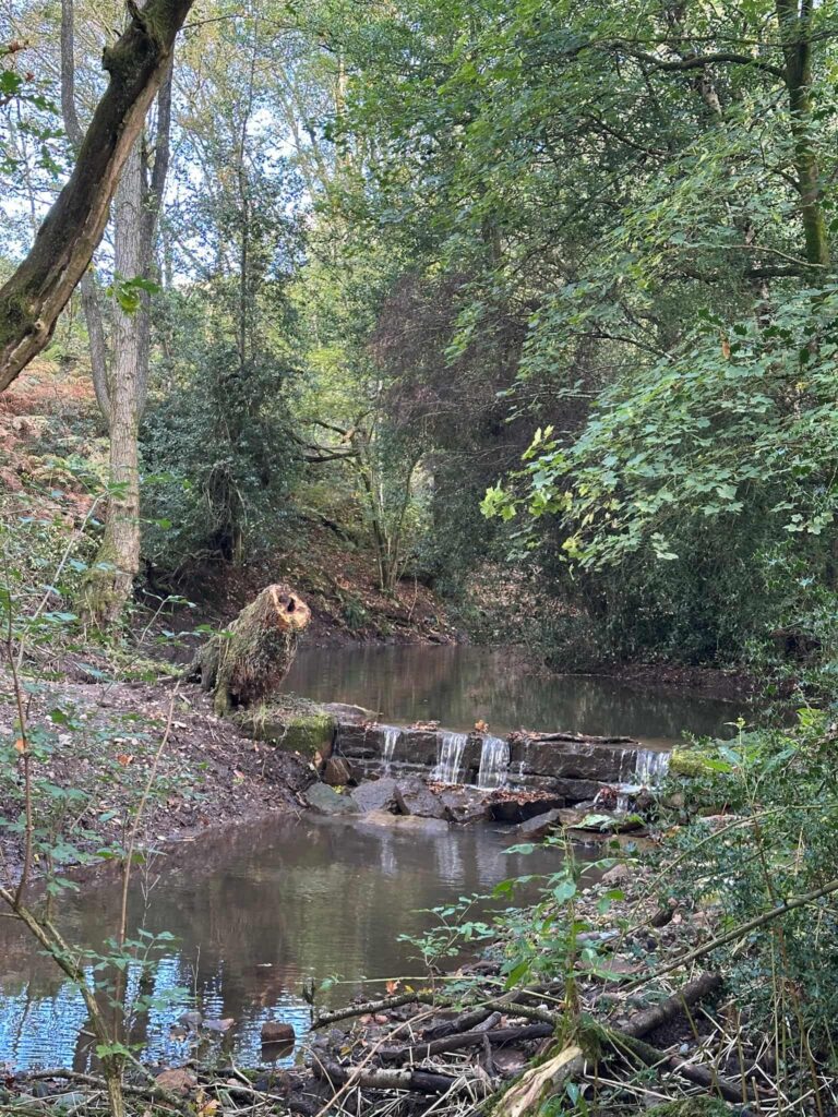
The path heads towards the old dye works. We missed the footpath turning initially so followed the footpath down into the yard of the dyeworks. We had a turn around and picked up the footpath next to the old millpond which runs through some woodland and out onto a track which leads to a smallholding.
The footpath continues through a gate on the right of the smallholding gates and goes through fields with some of the friendliest ponies!
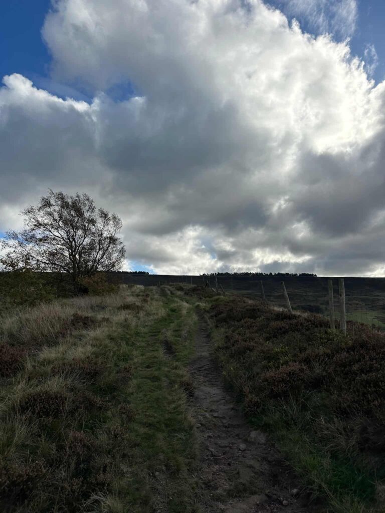
We crossed the lane and climbed the steep hillside up to Coombs Edge. The path is hard to spot when you get to the sheep enclosure, but it runs to the left of the pens, and then up through the field. There’s a stile, and then a left turn to head out onto Monks Road near the car parking layby.
This was a lovely walk, and because it was only 4.5 miles it meant we could head into Glossop for some lunch at the Market Hall. Have you been here yet?
Walk Map (Opens in OS Maps): Cown Edge, Coombes Edge and Robin Hood’s Picking Rods Walk
Parking: Layby on the Monks Road, Charlesworth, Glossop, Derbyshire, SK13 6JZ W3W:///indoors.steadily.outs.
Facilities: None. Please take all your rubbish home with you.
Dogs: The walk uses farmland and Open Access Land, so by law dogs should be on leads between 1 March and 31 July to protect ground nesting birds.
Walk Time: 2-3 hours
Difficulty: ▲▲
Distance: 4.5 miles (7.24km)
Elevation: 950 ft (289m)
Trig Points Bagged: None
Peak District Ethels Bagged: Cown Edge
You might also like: