Woodhead to Shepherds Meeting Stones | 7 Miles
This walk starts from the Woodhead Tunnel and heads high onto the bleak moorland, exploring the Dean Head Stones and then the Shepherds Meeting Stones before heading back via the Lady Cross and the Trans Pennine Trail. This is a great walk if you like peace and tranquillity.
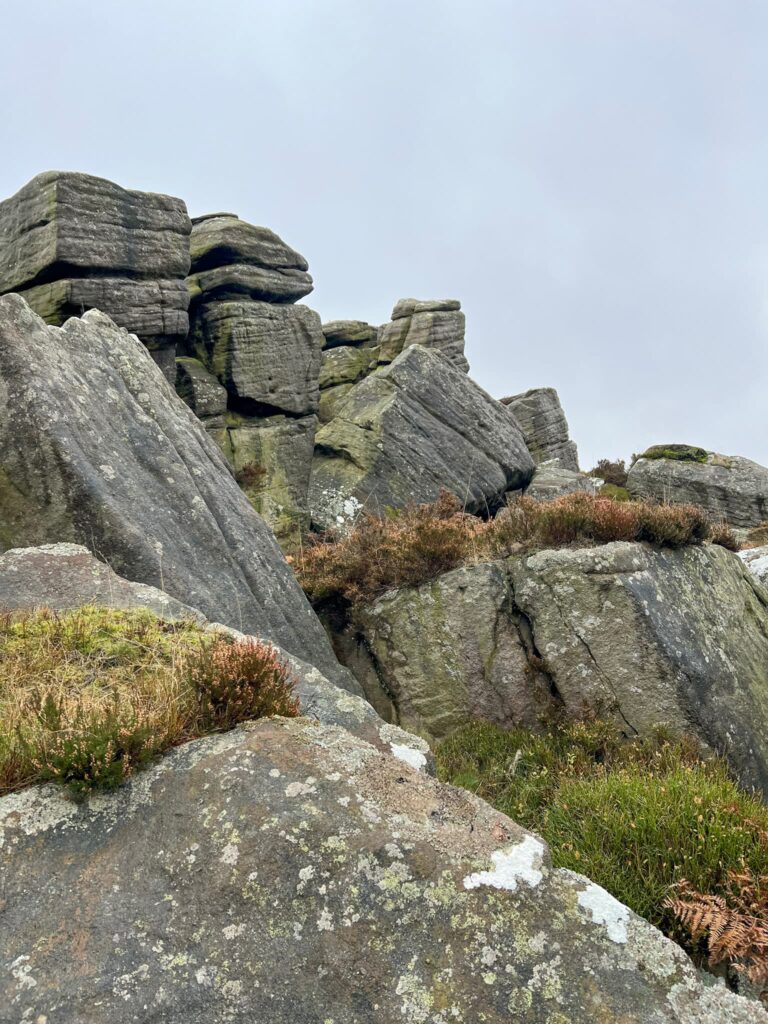
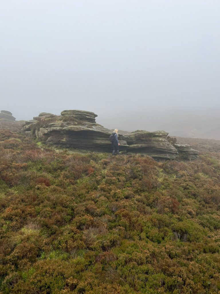
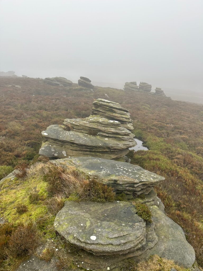
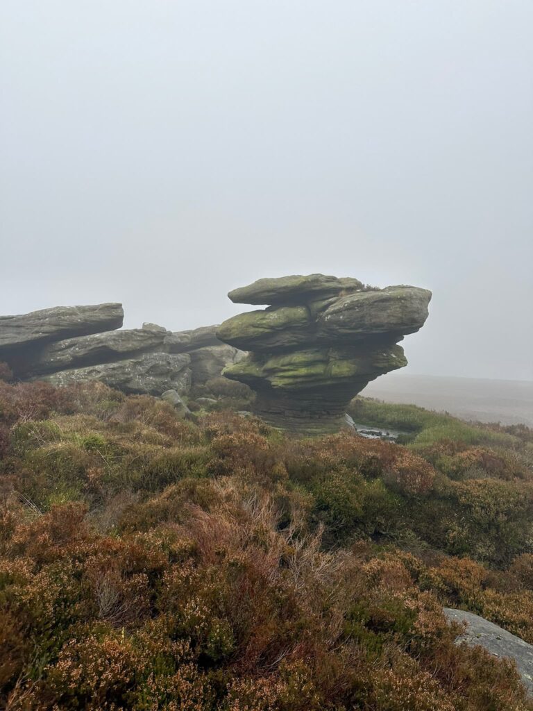
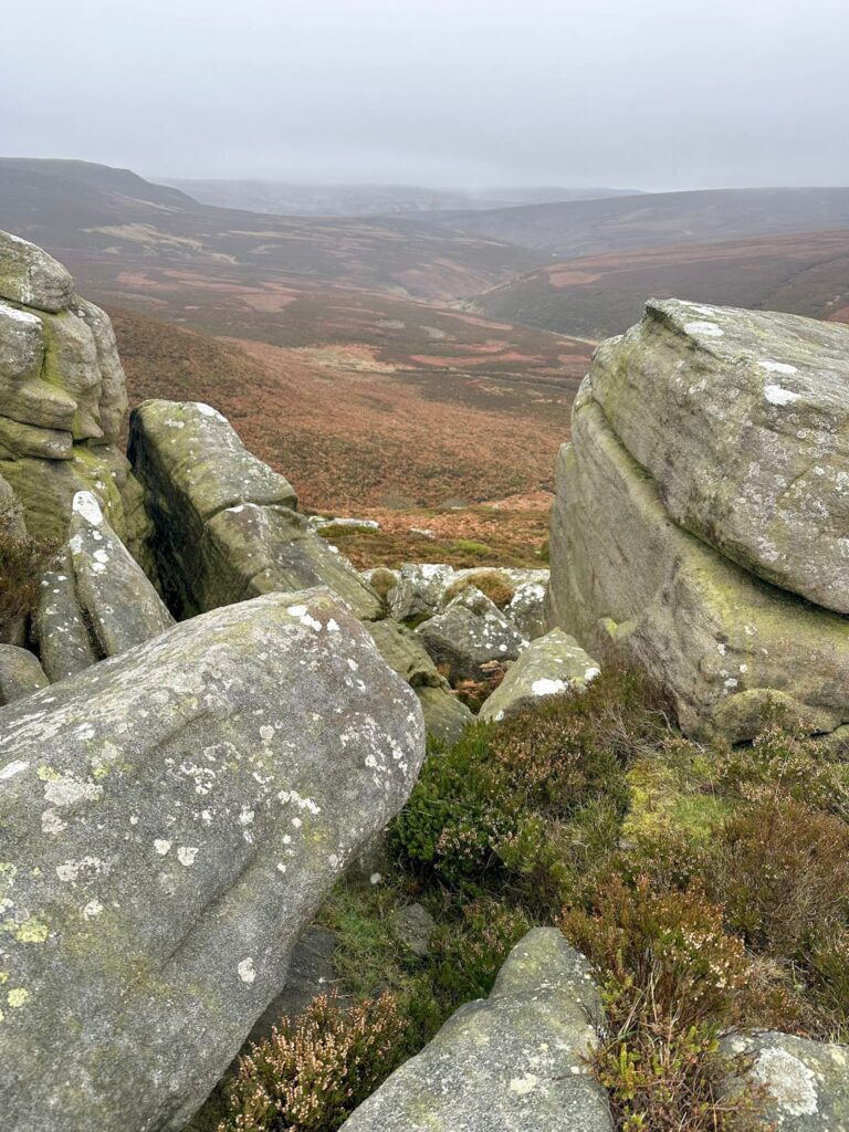
The Shepherds Meeting Stones, a remote gritstone tor, are high up on the Howden Moors and have spectacular views down the Derwent Valley. They got their name because, in days gone by before there were fences on the moors, shepherds would meet here twice a year to round up lost sheep/exchange sheep.
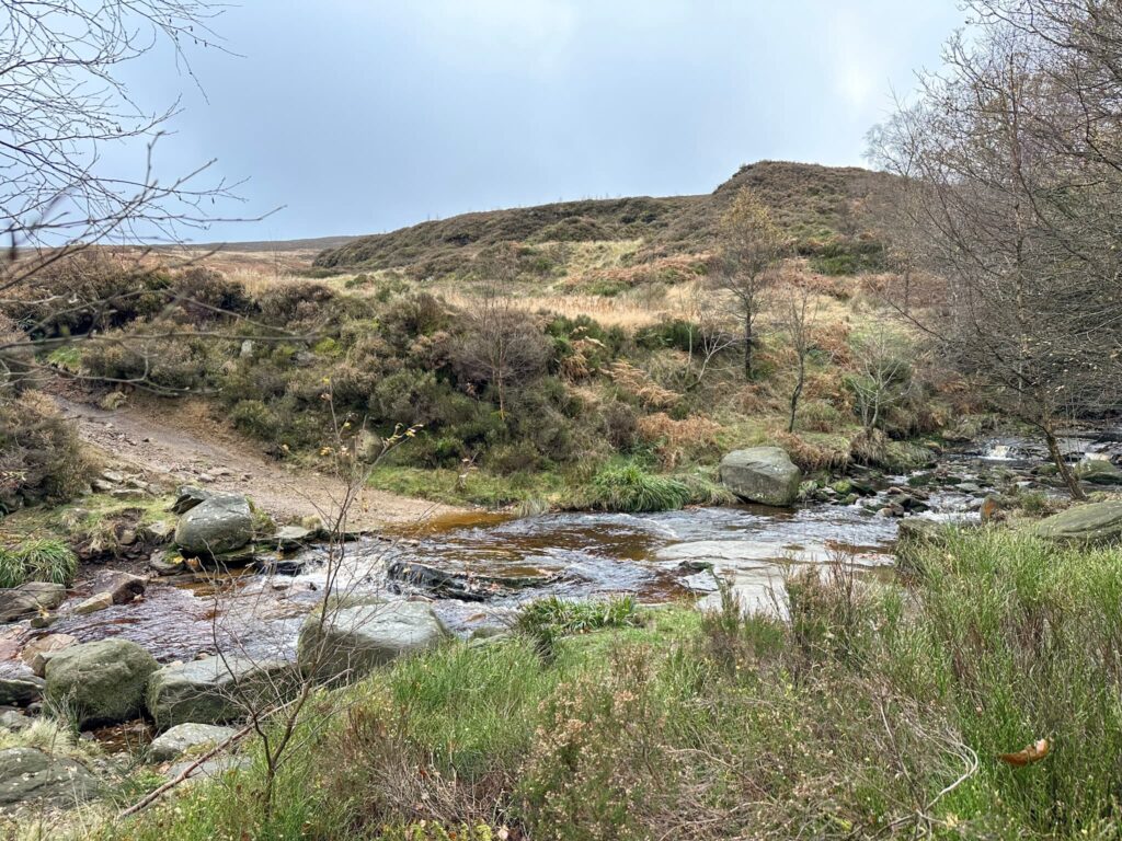
We parked up in the Woodhead Tunnels car park, driving very gingerly over the huge potholes! From here we headed down to the River Etherow and followed it south-east, crossing the ford and heading up the gamekeepers track above Far Black Clough. The track comes to a rough turning circle.
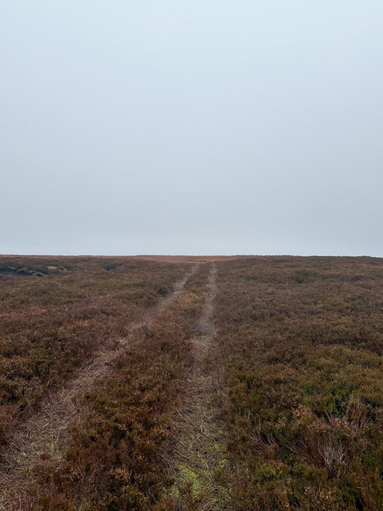
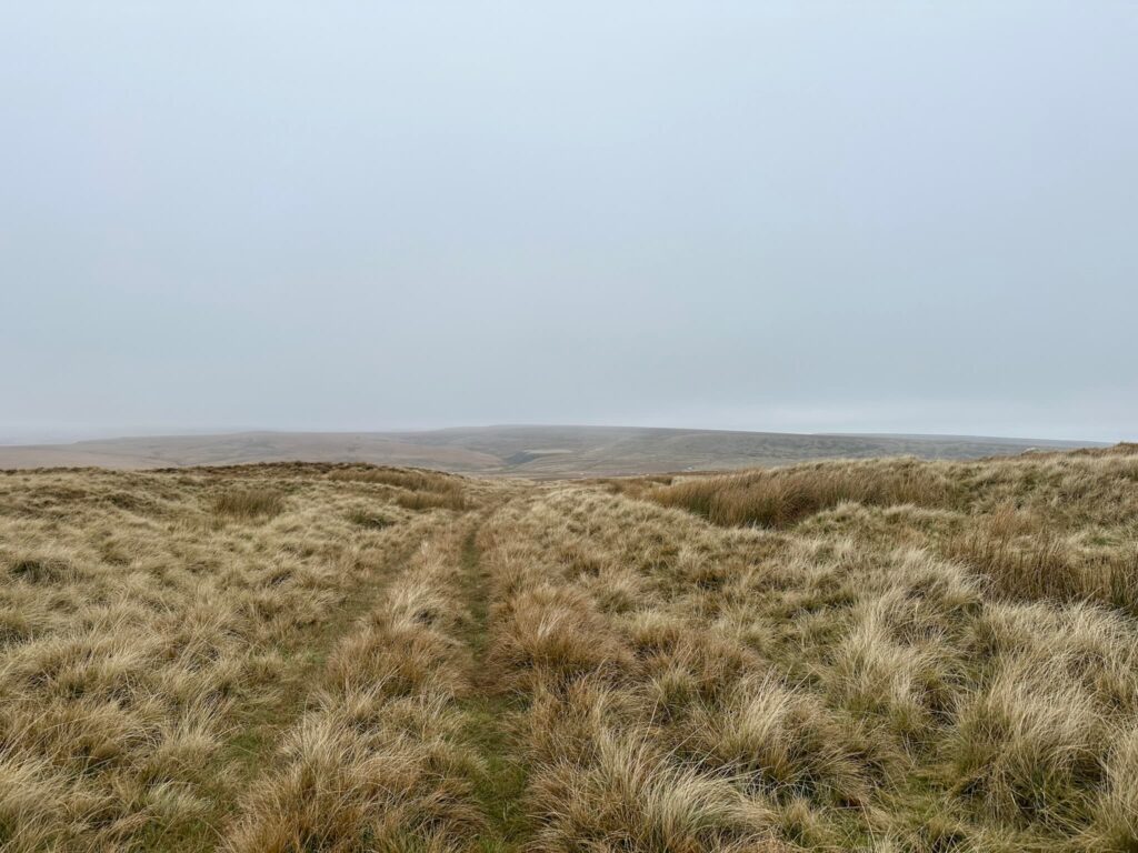
From here we followed a faint path for a third of a mile before taking a shortcut over the moors – I did wonder if we should have stayed on the path, as we were yomping through the heather!
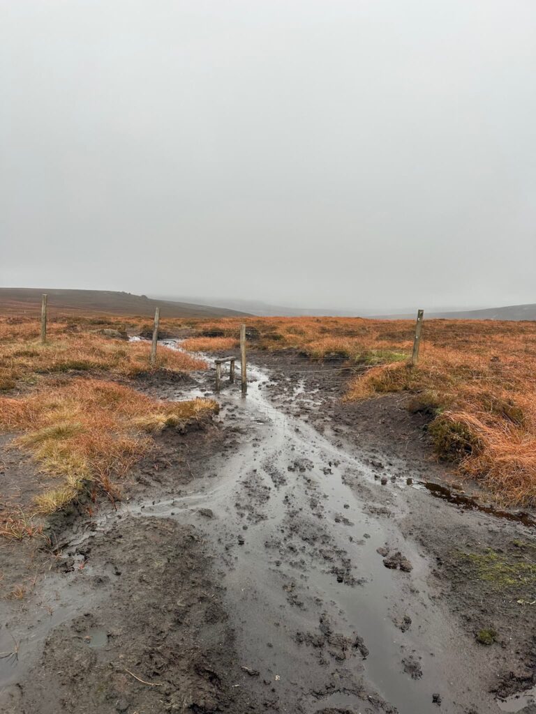
We picked up the path running west to east and followed the intermittent wooden stakes to Swains Head and the boggiest stile I’ve seen for a long time.
There is no path to the Dean Head Stones, so we set off over the heather, passing a curious roped off area in the middle of the moor. From Dean Head Stones it’s a short distance to the Shepherds Meeting Stones, a stunning jumble of rocks with amazing views.
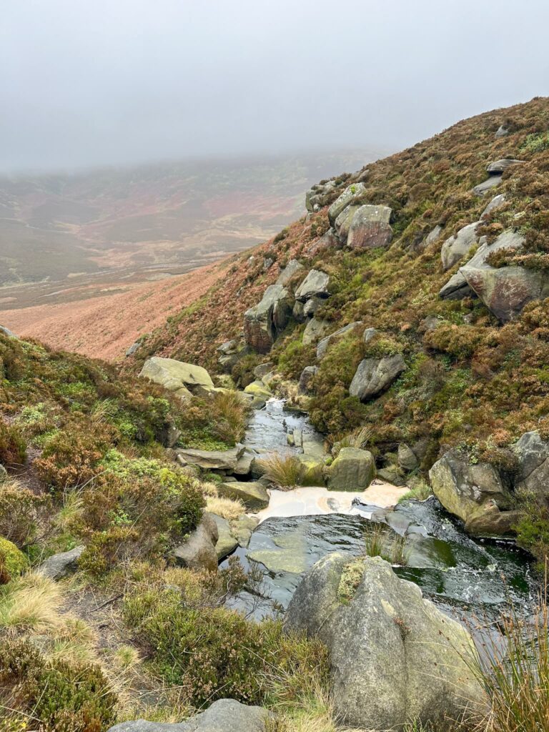
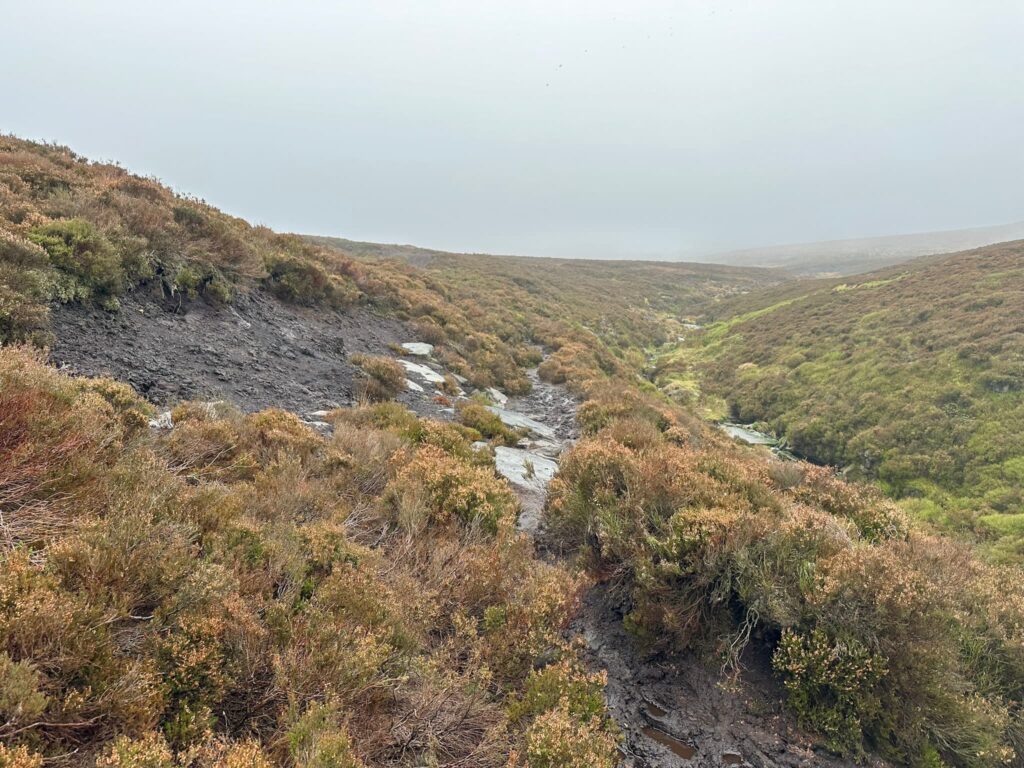
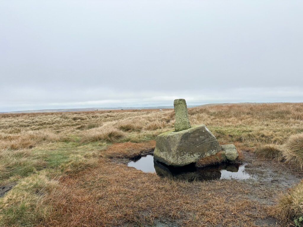
Crossing Hoar Clough we followed a path running roughly north over Featherbed Moss and Round Hill to the Lady Cross, the remains of a medieval wayside cross and now a Grade II listed scheduled monument. It includes the socket stone of the cross, a fragment of the cross shaft embedded in the ground nearby and a surveyors triangulation pillar aka trig point which is now in the socket hole of the cross. The cross marks an ancient packhorse route across the moors. Ancient Monuments has more details on the cross.
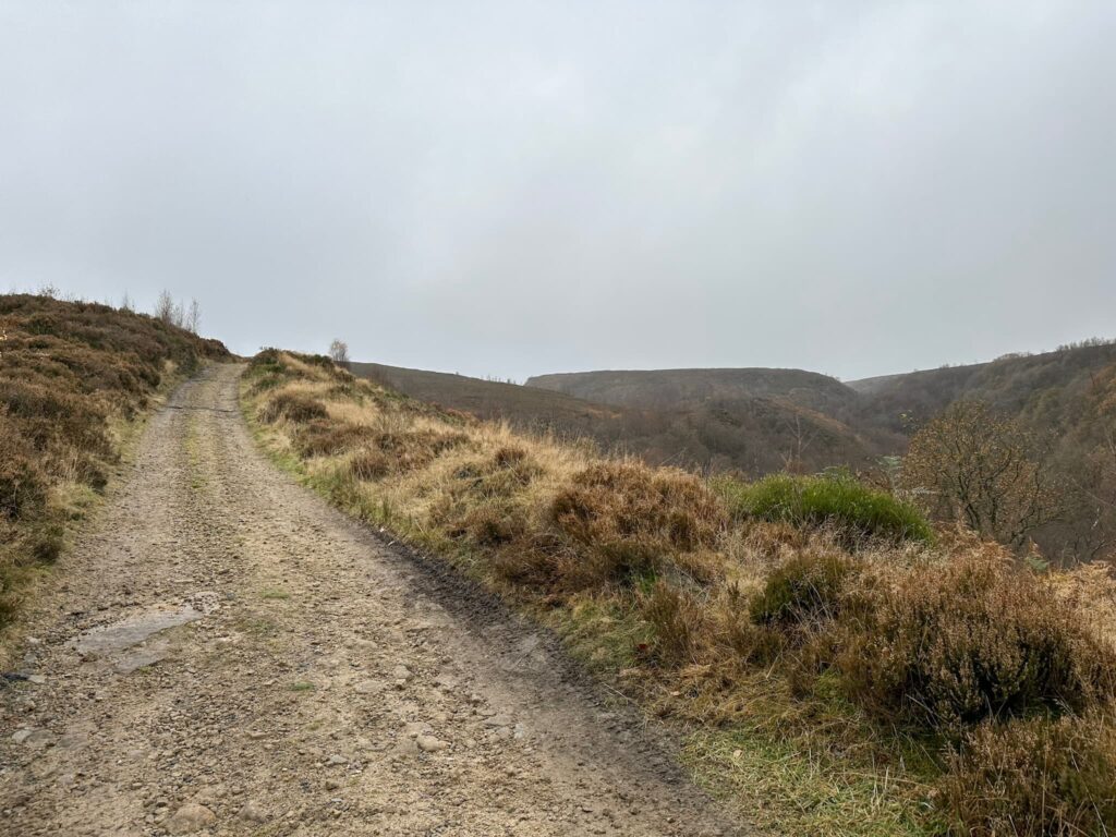
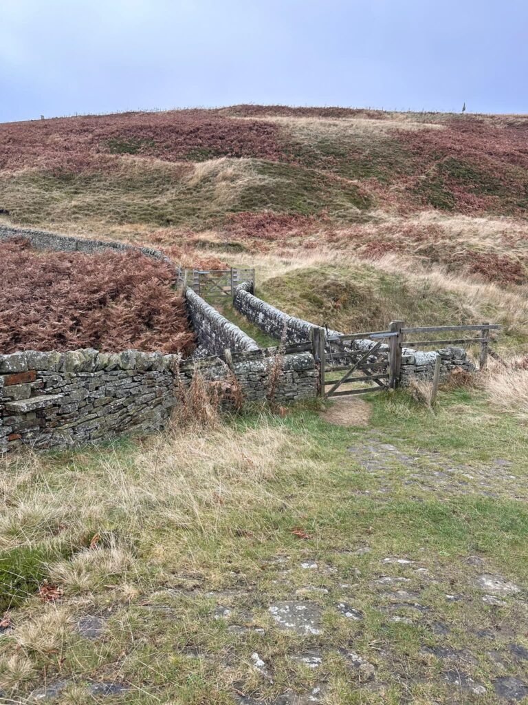
From the Lady Cross we picked up a track and turned left, heading down the hill towards the ruins of an old farm. After the the ruins we continued along the track, crossed the main road at Longside End and then followed the Longdendale Trail along Longside Edge. This part of the route runs above the Woodhead Tunnels on the old Manchester to Sheffield line.
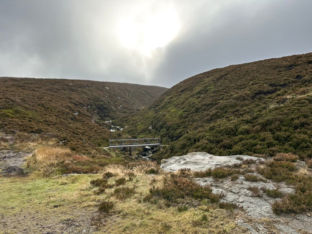
The route heads down the hill and crosses the main road again, before returning to the car park. This was such a peaceful walk and we only saw other people in the car park. They were presumably heading to Middle Black Clough Waterfall or off along the TransPennine Trail.
Shepherds Meeting Stones Walk Details:

Walk Route in OS Maps: Woodhead to Shepherds Meeting Stones
Parking: Free parking at Woodhead Tunnels car park, just off the A628 (nearest postcode SK13 1JE). W3W:///sniff.kinks.shocked
Facilities: None. Remember to Leave No Trace.
Dogs: Dogs are not allowed on large parts of thisOpen Access Land. Check the Natural England Open Access website for more details.
Walk Time: 4-5 hours
Difficulty: ▲▲▲
Distance: 6.78 miles (10.9km)
Elevation: 1050ft (320m)
Trig Points Bagged: None
Peak District Peaks Bagged: None
Peak District Ethels Bagged: None