Stanage Edge, Burbage Moor and Redmires Walk | 14 Miles
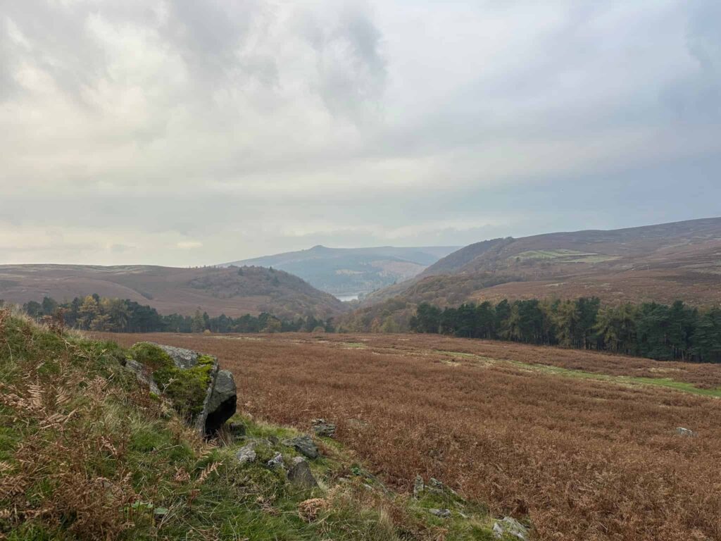
This walk explores a quieter part of the Dark Peak, visiting Stanage Edge, Burbage Moor and Redmires Reservoirs. It passes 3 Peak District trig points and ticks off 2 Ethels, so it’s a great one to do if you’re peak bagging. The route also visits the prehistoric Hordron stone circle. Expect huge skies and some lesser known trails on this 14 mile walk.
What to Expect
- Distance: 14 miles, a long day out that suits fitter walkers
- Terrain: A mix of clear gritstone edge paths, moorland tracks and some lesser trodden paths that can be rougher and less obvious
- Trig points: 3 – High Neb, White Path Moss and Ox Stones
- Ethels: High Neb and Stanage Pole
- Navigation: Take a map and compass, especially for the quieter sections where paths are fainter
- Underfoot: Can be boggy and uneven after rain, so waterproof boots are recommended
- Exposure: Stanage Edge and the moors are very exposed, so pack waterproofs and warm layers whatever the forecast
- Crowds: Busy around Stanage Edge, but much quieter once you head out onto the moors
- Best for: Confident walkers who enjoy peak bagging, big views and a mix of well known and lesser trodden paths
Route Highlights
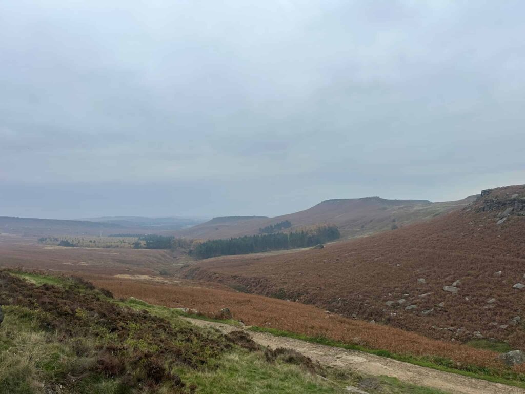
The walk starts from Cutthroat Bridge. I parked in the large layby near the bus stop and walked down the main road a short distance to the wooden gates on the left. Climbing the stile, the route heads through a small woodland, climbing steadily to reach a track running along Hordron Edge.
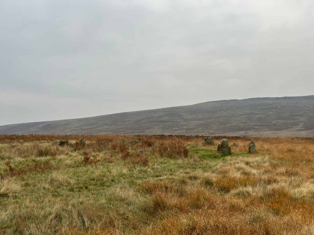
The Bronze Age Hordron Edge stone circle consists of an undetermined number stones – records suggest there are 9, but it’s called the Seven Stones of Hordron, and over on the Megalithic page it suggests there are actually 23 stones! I didn’t get close enough to count on this walk. The circle has amazing views over to Win Hill.
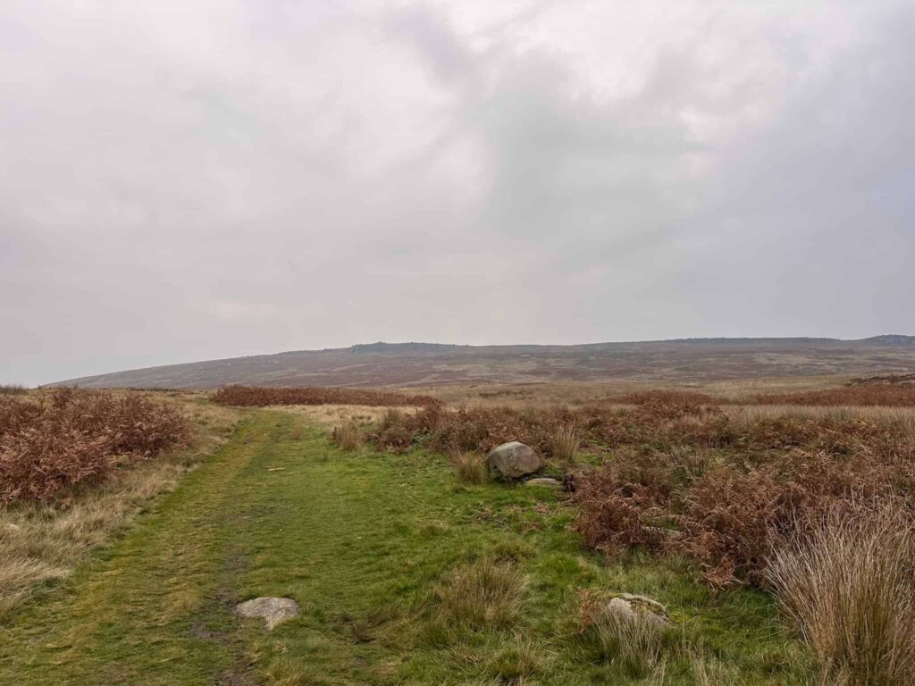
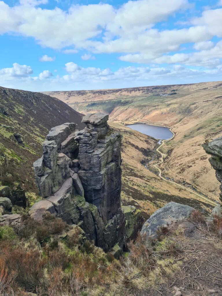
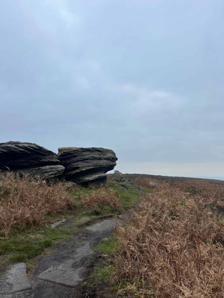
After passing the stone circle, the path carries on and then starts to climb up over Moscar Moor to reach the northern end of Stanage Edge near Crow Chin. It climbs gently to reach the first trig point of the day, High Neb.
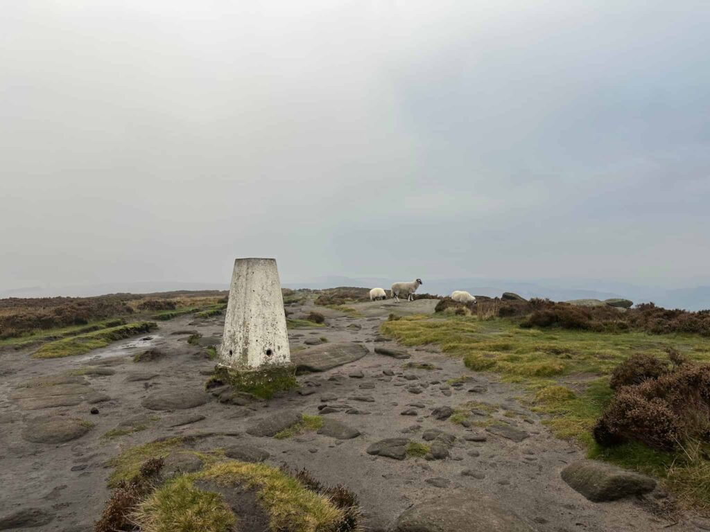
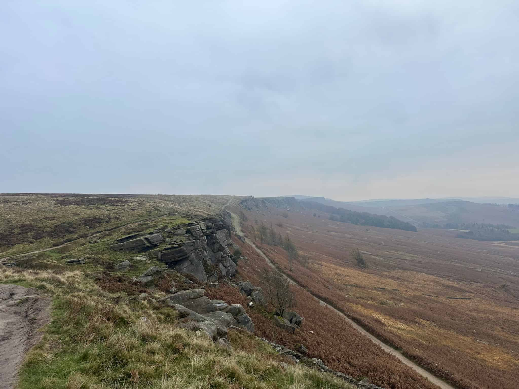
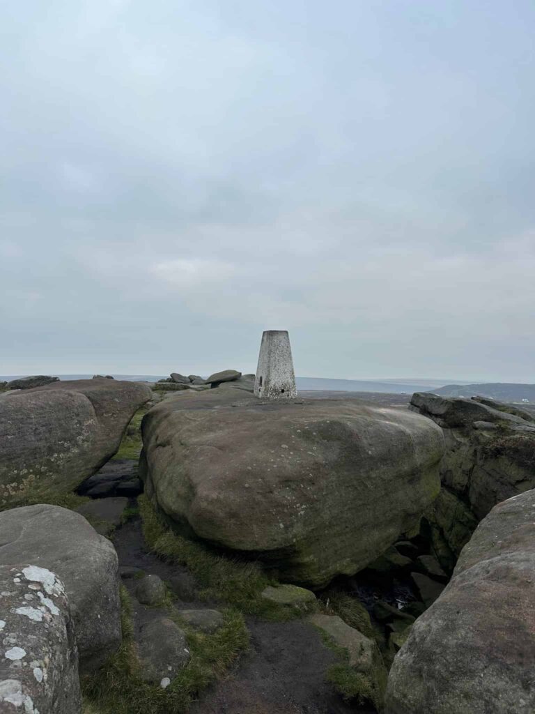
The walk heads south-west along Stanage Edge, over the stile and sticking to the edge path to reach the next trig point of the day, White Path Moss (commonly known as the Stanage Edge trig point). It’s high up on the rocks, and it’s a bit of a clamber to touch the top of it.
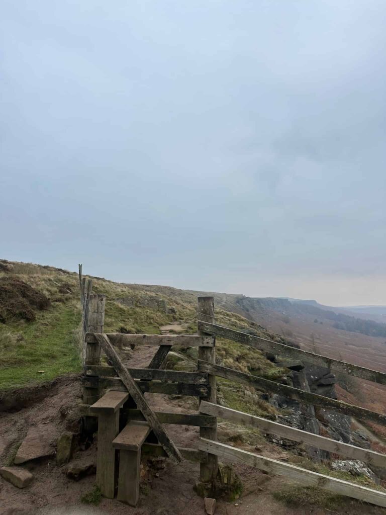
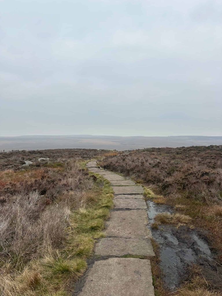
From here I walked east, following the path which becomes slabbed in places, to Upper Burbage Bridge. Crossing the road, I went through the gate onto Burbage Edge and followed the higher path for around 500m. Here I turned left, heading off over Burbage Moor on a pretty well defined but boggy track over to the Ox Stones, and a little out and back to the trig point.
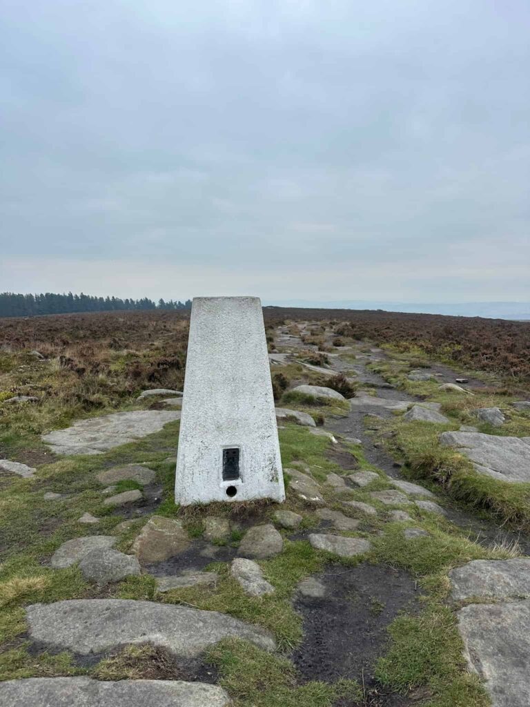
Returning to the Ox Stones, I picked up the path running adjacent to the woodland and followed this out onto the road. Crossing the road, I then went up through Brown Edge Quarries and found the footpath leading along the grassy lane to Brown Edge Farm. Through the farmyard, the route then leads out onto Fulwood Lane and follows this to Knoll Top Farm.
Taking the footpath across from Knoll Top Farm, I walked through the quarry, along the track and down the hill to join the road. Turning left, I followed the road to the bend in the road and then the reservoir track. This leads around the southern edge of the Redmires Reservoirs, before picking up the track leading up to Stanage Pole.
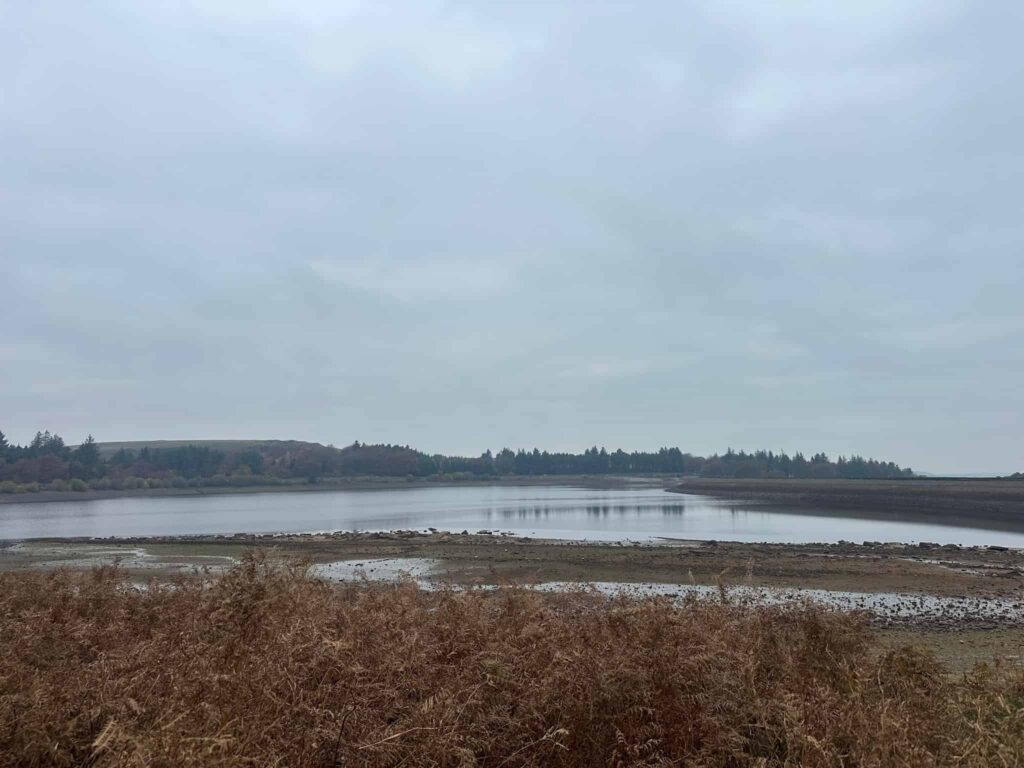
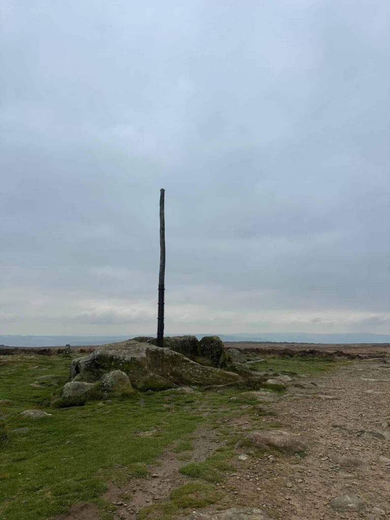
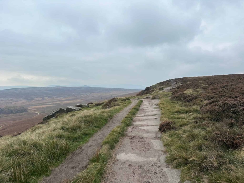
At Stanage Pole I turned right to head back along Long Causeway on Stanage Edge, and before I reached the ruined barn building I dropped back down the hillside near Crow Chin, retraced my route over Moscar Moor and down Hordron Edge before descending again through the small woodland to Cutthroat Bridge. From here it was just a short wander back to the car.
Ignore where it says Trail Run – this is a superb walking route!
Walk Map (Opens in OS Maps): Stanage Edge, Burbage Moor and Redmires Walk
Parking: I parked at the large layby at Cutthroat Bridge, off the A57, Hope Valley S10 4QZ | W3W: script.ferrets.hence
Facilities: None – remember to Leave No Trace.
Dogs: Not allowed on Moscar Moor due to grouse – see the Natural England Open Access Map. There are no formal public rights of way over Moscar Moor (shown green on the OS Map).
Walk Time: 5-6 hours
Difficulty: ▲▲▲
Distance: 14 miles (22.5km)
Trig Points Bagged: High Neb, White Path Moss (Stanage Edge) and Ox Stones
Peak District Ethels Bagged: High Neb, Stanage Pole
You might also like: