Howden Moors Plane Wrecks Walk | 11.5 Miles
Up on the Howden Moors, high above the reservoirs where the Dambusters once trained, the Dark Peak has some fascinating historical sites. This 11.5 mile Howden Moors plane wrecks walk heads out across wild, open moorland in search of a German parachute mine crater, a V1 doodlebug crater and the wreckage of two Airspeed aircraft, a wartime Oxford and a post-war Consul. Along the way you’ll also take in Margery Hill, Outer Edge and the Crow Stones, with big skies and hardly another soul in sight.
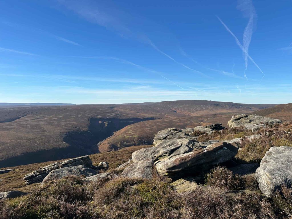
This Howden Moors plane wrecks walk is rough, boggy and there aren’t great paths, so this one is for confident walkers with a good sense of navigation.
What to Expect
- Distance: 11.5 miles over open moorland
- Terrain: Rough going throughout, with a mix of paths and off-path sections
- Bogs: The moors are notoriously boggy in winter, so expect wet feet and slow progress
- Navigation: Essential. Take a map and compass (and know how to use them), as the wreck and crater sites are off-path and the moor is easy to get lost on in poor visibility
- Dogs: Not allowed on large parts of this route as it’s a grouse moor, with no formal public footpaths. See the Natural England Open Access Maps for more details.
- Footwear: Sturdy waterproof boots are a must, and gaiters are a good idea
- Exposure: Little to no shelter, so pack warm layers and waterproofs whatever the forecast
- Respect the sites: The Oxford is a war grave and protected by law, so please don’t move or remove any wreckage
- Best for: Confident, experienced walkers who enjoy rough, pathless terrain and aviation history
Route Highlights
- Parachute mine crater: A large peaty scar left by a German Luftmine B, a 1,000kg parachute mine, and for a long time mistaken for the V1 site. It’s easy to find but now very boggy, so tread carefully
- V1 “doodlebug” crater: One of several V1s fired towards Manchester on Christmas Eve 1944 that fell short, this one coming down on Howden Moor
- Airspeed Oxford wreck: The wreckage of Oxford LX518, which crashed in October 1943 during a solo night navigation exercise. It’s a war grave, so please treat it with respect and leave everything as you find it
- Airspeed Consul wreck: The remains of an Icelandic airliner (originally an RAF Oxford) which crashed on Crow Stone Edge in April 1951 while being ferried to Iceland, with the loss of all three on board
- Margery Hill and Outer Edge: Big, empty views across the Howden Moors, and trig points to tick off if you’re taking part in the challenge
- The Crow Stones: Dramatic gritstone outcrops on the edge of the moor
- Remote wilderness: An atmospheric and quiet corner of the Dark Peak, where it’s easy to feel a long way from anywhere
The Howden Moors plane wrecks walk starts from the free car park at Flouch. We crossed the road and walked through the woods down to the bridge over the Porter or Little Don River. There’s a gate here leading onto open moorland with signs asking dogs to be on leads. People don’t pay any attention to these signs – we walked past a man letting his two collie dogs chase a deer in the woods, and just shrugging when they wouldn’t come back to him when called.
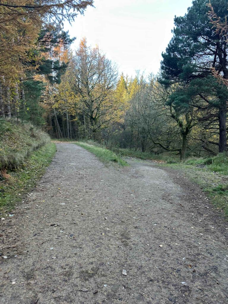
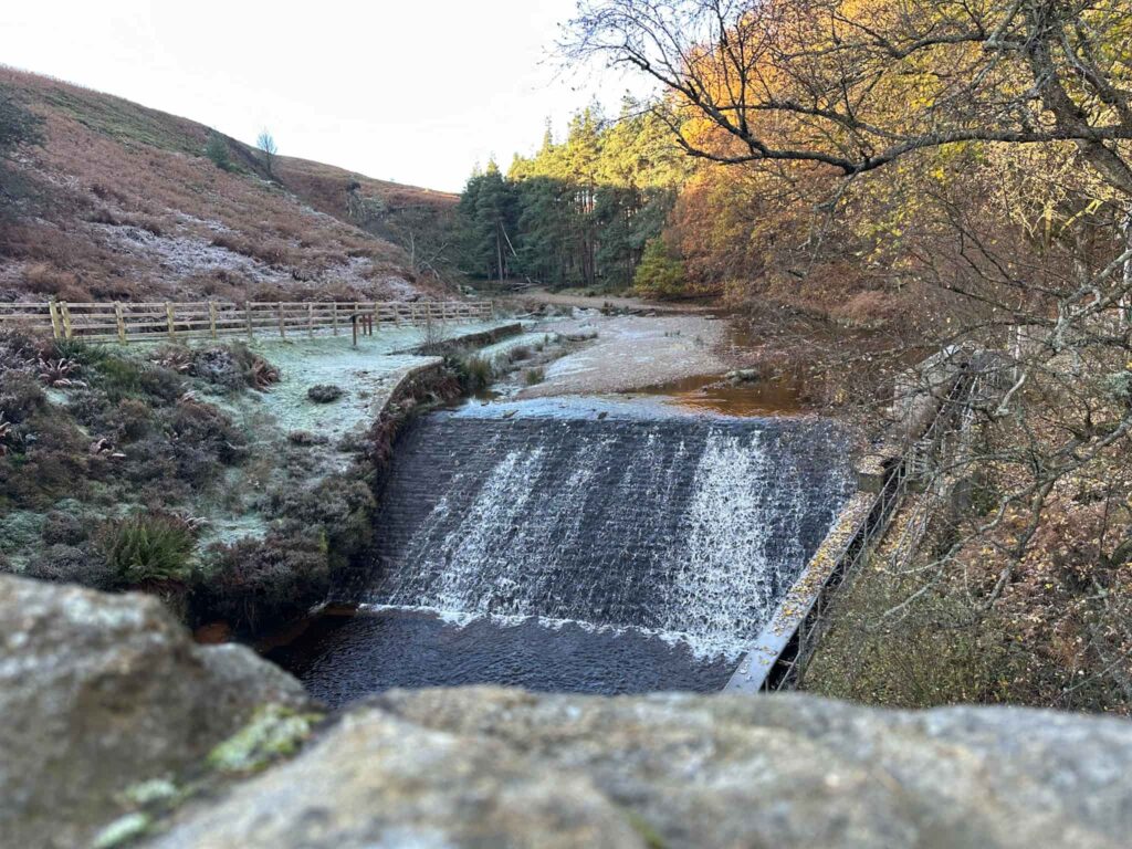
Anyway. We followed the rough track as it climbed up past the woodland, and then it opens out onto moorland. The path follows the route of the former packhorse trail over the moors known as Cut Gate. There’s a pretty obvious path to follow which runs above Mickleden Beck and beyond, for around 3 miles, before reaching a large stone cairn.
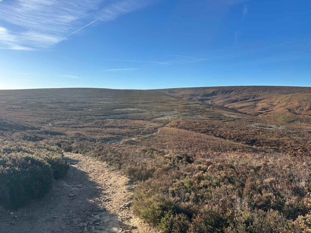
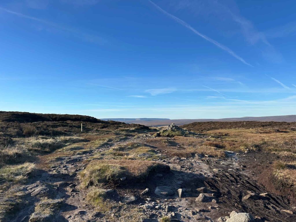
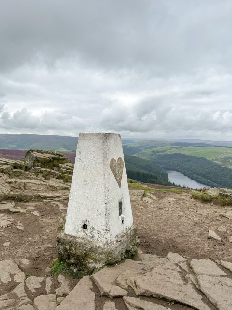
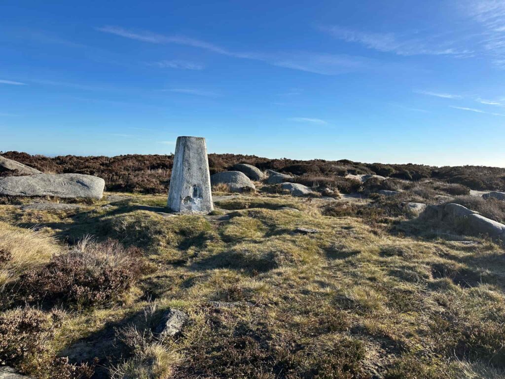
Here we took a faint path off to the left/south-west (past that stake on the left of the image above) which leads around a fenced off area and over a stile (which has definitely seen better days) to the Margery Hill trig point, and the first Ethel of the day. Margery Hill is 546m above sea level, surrounded by small gritstone outcrops.
We retraced our steps back to the cairn at Cut Gate and then set off north-west for around 400m before leaving the path to visit the German parachute mine crater at Featherbed Moss (there are a few places in the Peak District named Featherbed Moss, confusingly!). This crater has a small wooden sign which mistakenly calls this a V-1 crater, however this isn’t it.
- German Parachute Mine Crater near Margery Hill grid reference: SK18586 96522
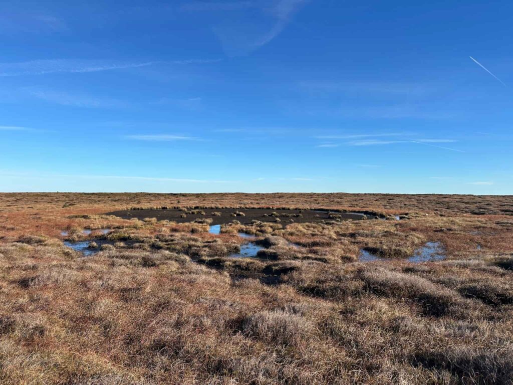
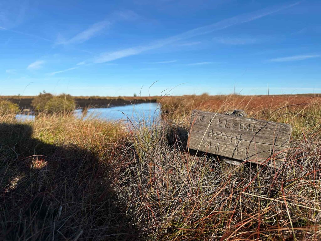
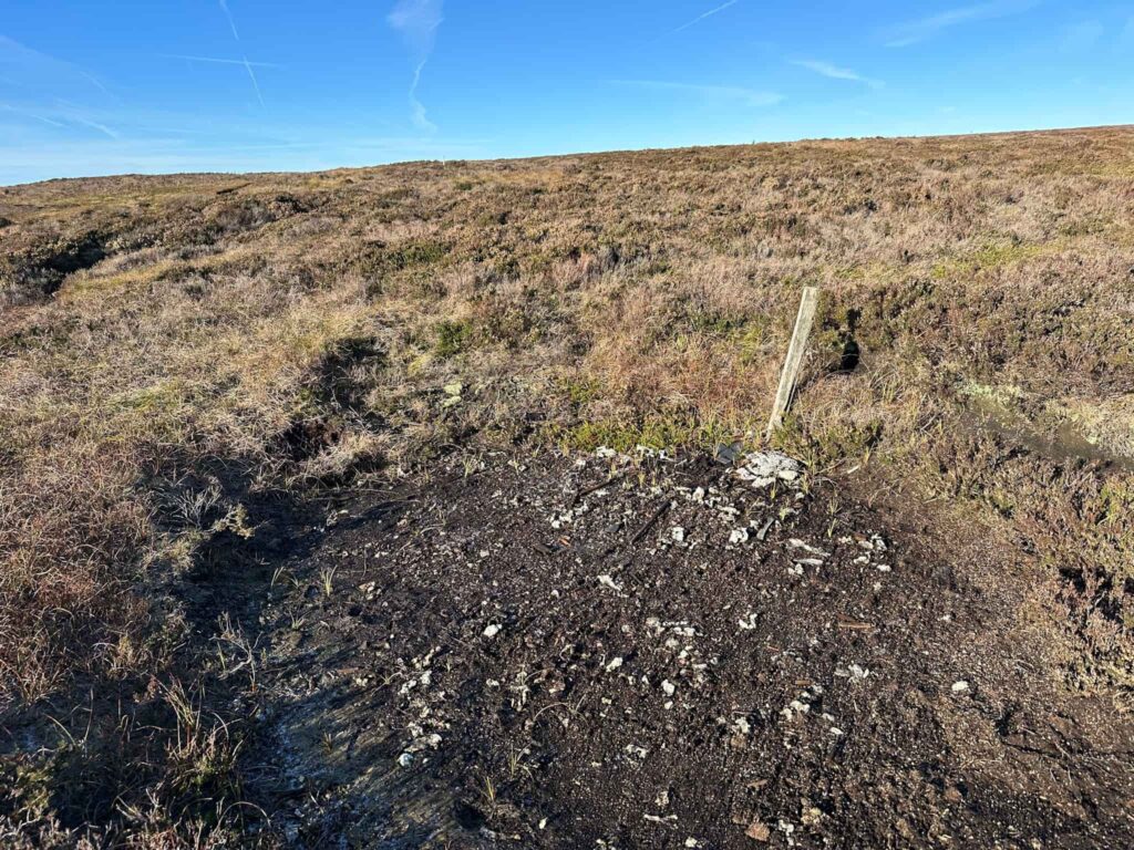
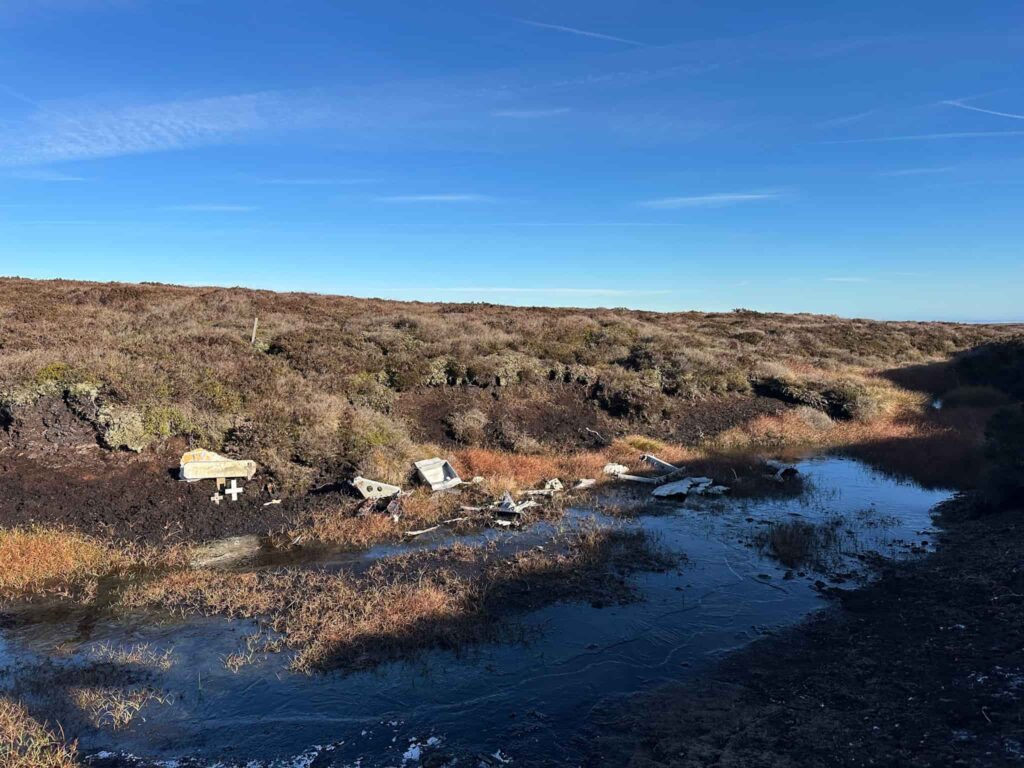
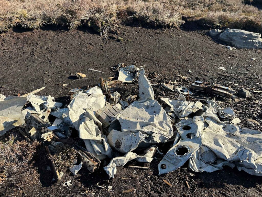
After having a nosy at the crater, we retraced our steps back to the path and continued north-west to the wreck of the Airspeed Oxford MK1 LX518 which crashed on 18 October 1943 killing the pilot, Pilot Officer Patrick Kyne from the Royal New Zealand Air Force. There is a scar next to the path with fragments of molten metal where the salvage team burnt the wreckage, however there is much more debris in the nearby gully, where it was moved to be hidden from view, but the shifting peat has exposed it once more.
- Airspeed Oxford on Howden Moor grid reference: SK18043 96738
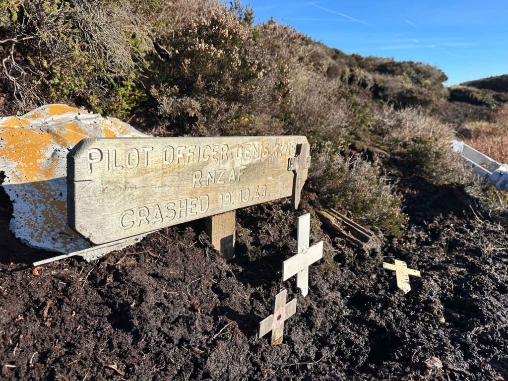
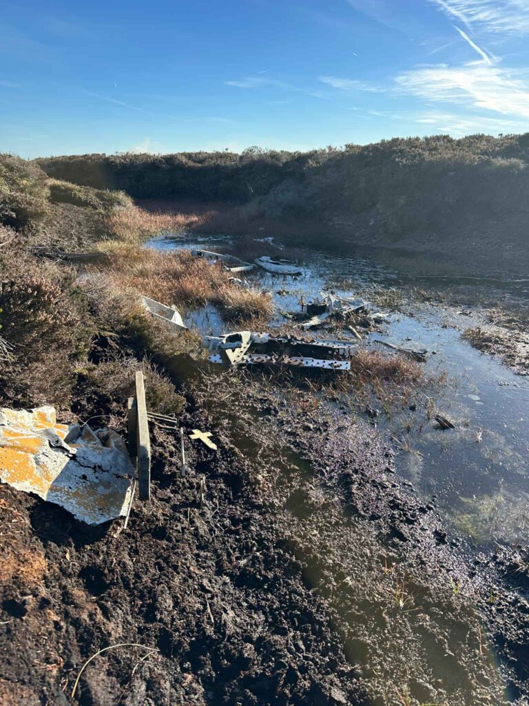
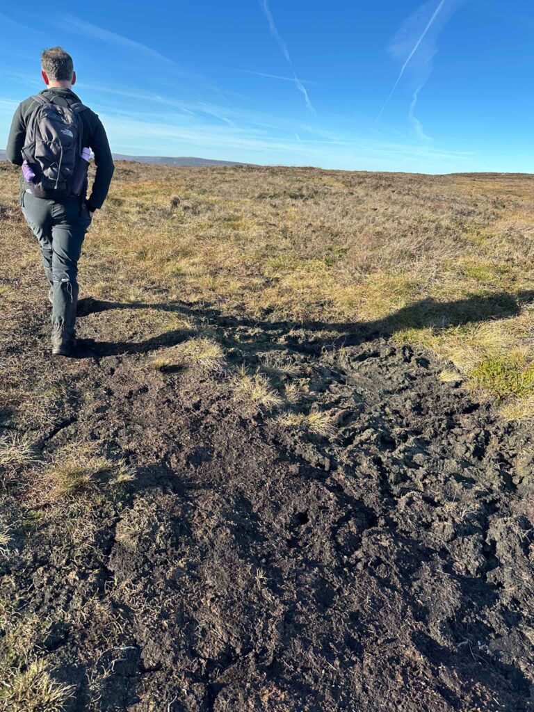
After paying our respects, we returned to the path and continued on a short distance before picking up a path running south-west over Broadhead Clough Head, passing the remains of old grouse butts in the top of the clough. We joined the path running north-west to south-east, and continued north-east along here.
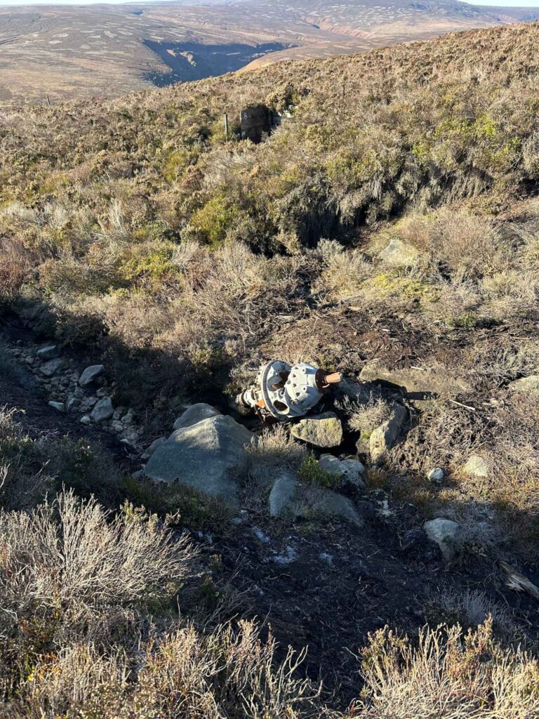
A short distance along the path is the wreck of the Airspeed Consul TF-RPM which crashed on 12 April 1951 killing everyone on board. Parts of the plane are in the gully, with a large amount slightly higher up.
- Airspeed Consul on Crow Stones Edge grid reference: SK17403 96616
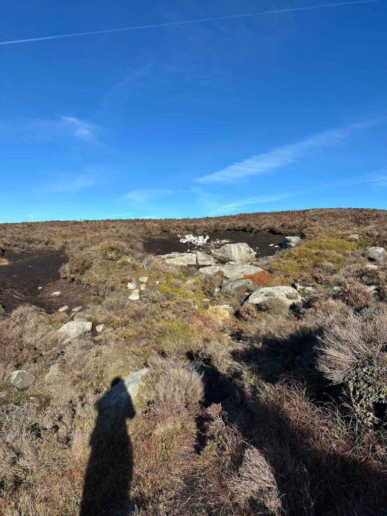
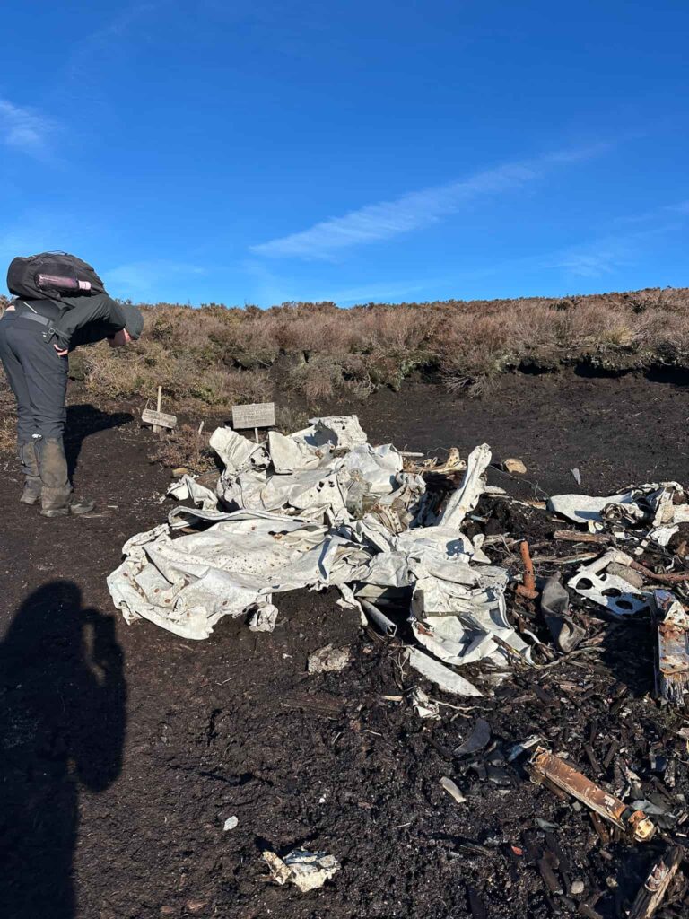
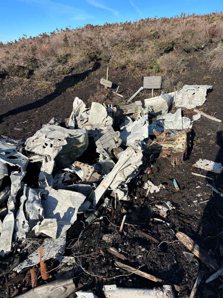
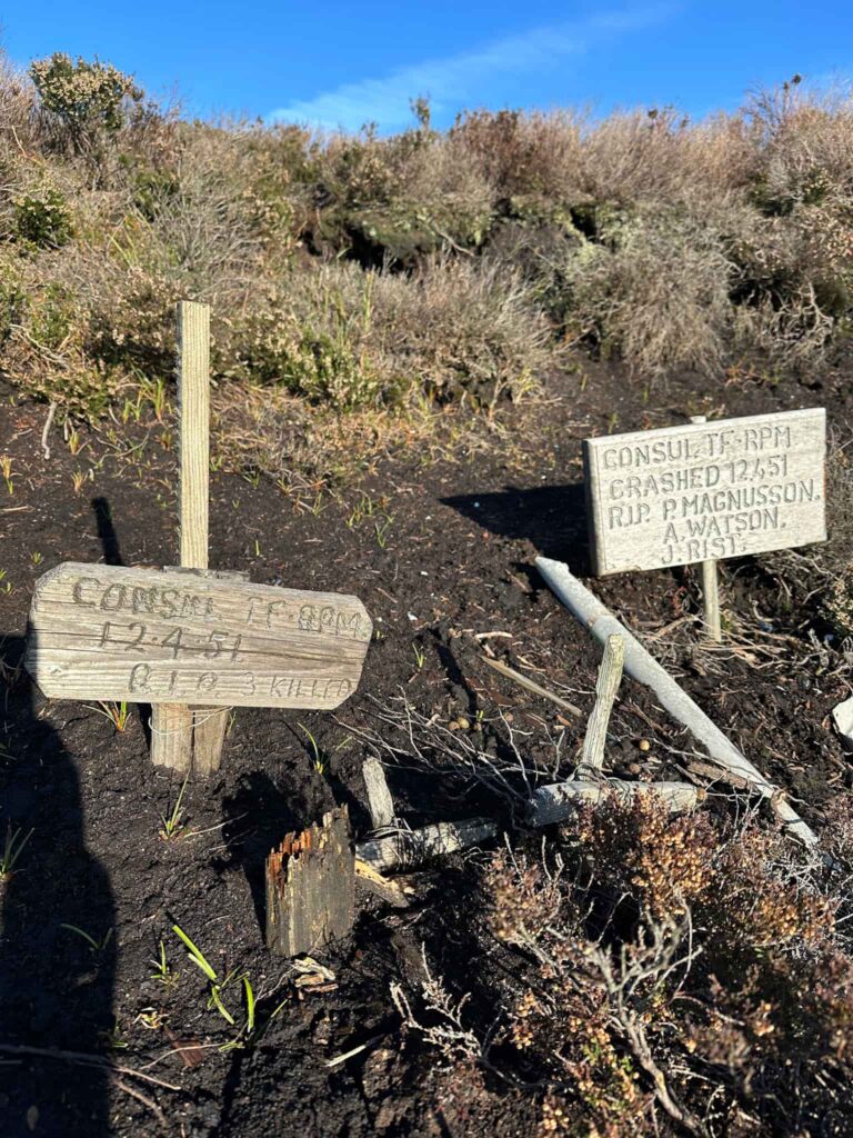
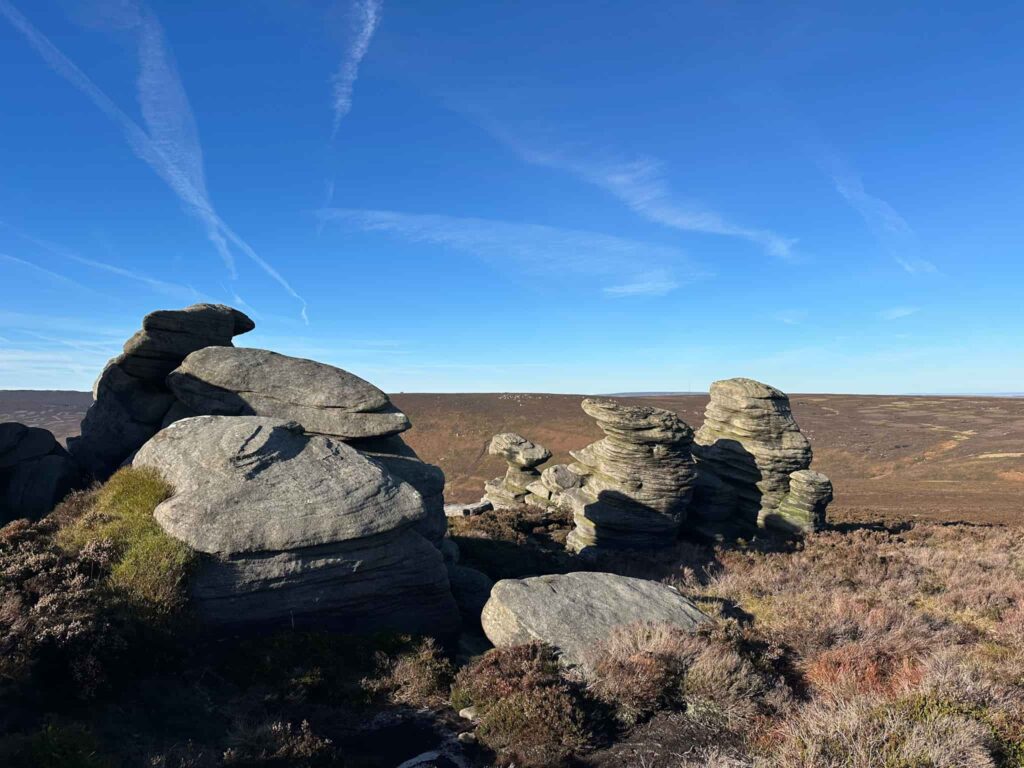
We continued along the path to the Crow Stones. The Crow Stones are a spectacular gritstone outcrop with expansive views across the Upper Derwent Valley towards Ronksley Moor, Bleaklow and beyond to Kinder Scout.
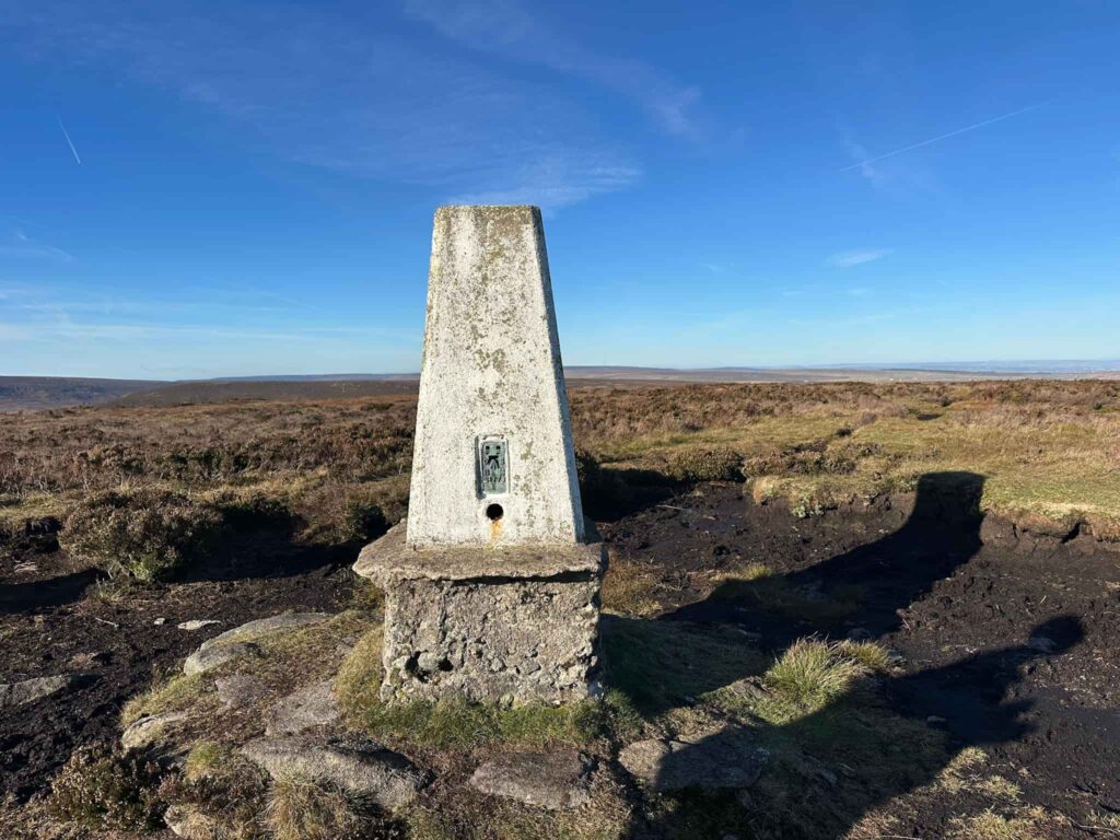
From the Crow Stones we picked up the path running east to Outer Edge, and followed this up onto Outer Edge. It’s then a short distance to the Outer Edge trig point, standing at 541m above sea level. You can see the level of peat erosion which has left the trig point standing on its own little concrete tower.
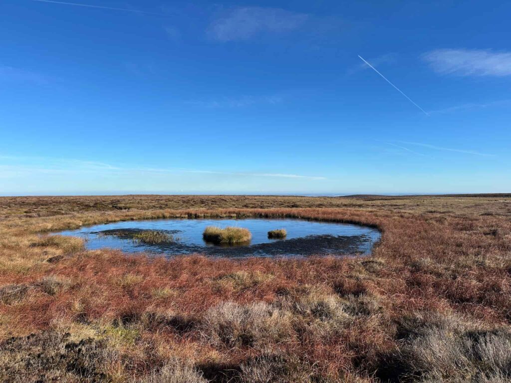
From the trig point we took a faint path running east towards the actual V1 crater. This is a waterlogged crater, caused by a ton of explosives detonating on Christmas Eve 1944 when the V1 or Doodlebug landed.
- V1 Crater on Howden Moor grid reference: SK18224 97083
From the crater we continued along a very faint path which heads north-east and then becomes the ‘plastic track’, a gamekeepers track with a plastic mesh underfoot. This drops down the hill to cross Mickleden Beck and then rejoins Cut Gate after a very short, steep climb up!
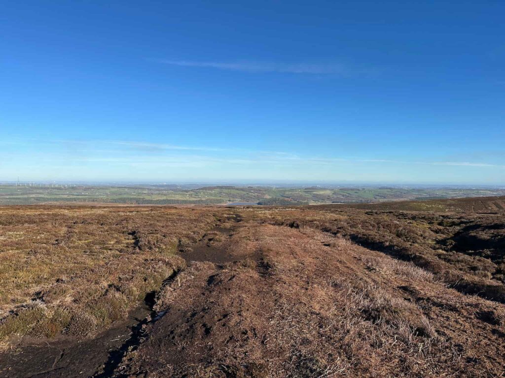
We headed back down Cut Gate until we reached one of the Peak and Northern Footpaths Society green signs. We picked up the path running north-east down to the t junction, then turned left through the gate to North America.
The ruined North America farm was abandoned, along with other farms in the area, as part of depopulation measures intended to improve the purity of the reservoir water. It was then used as target practice in WW2, and you can still see the bullet holes in some of the stones.
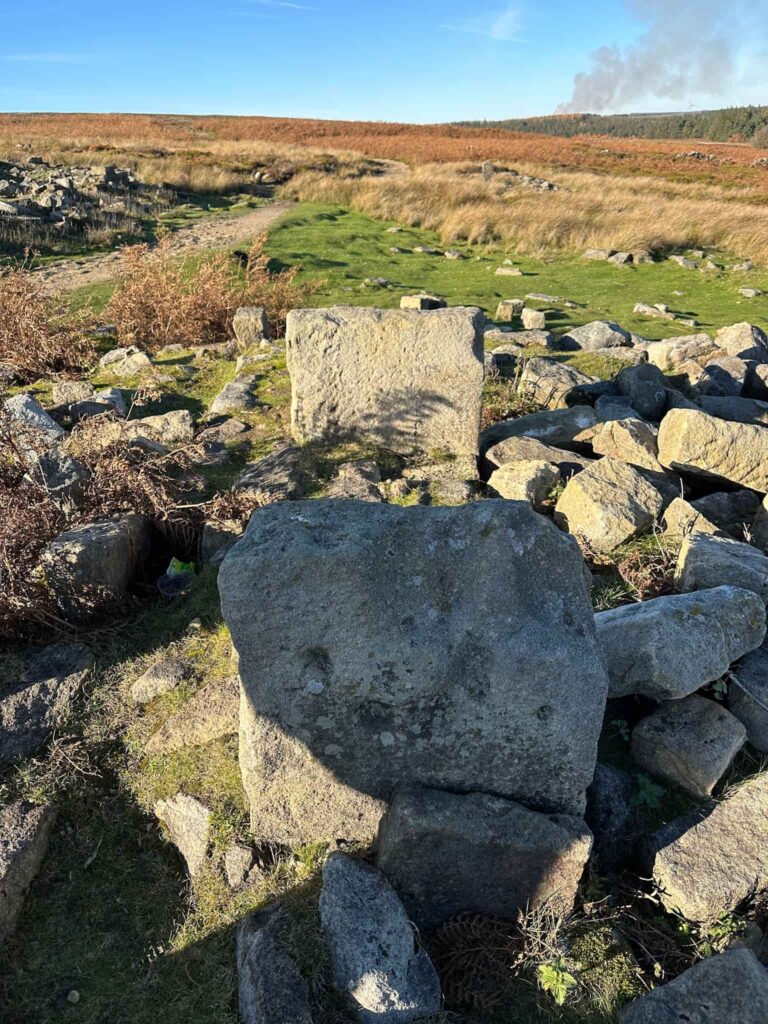
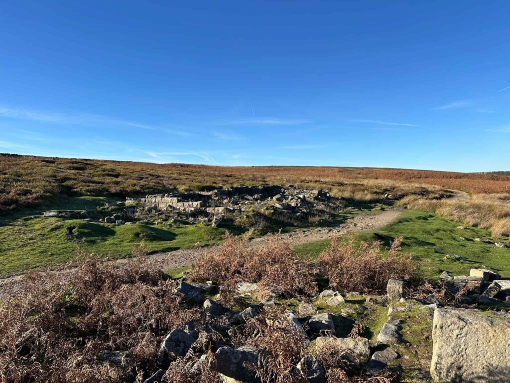
We continued along the path to rejoin Cut Gate, and then turned right to walk back down to the bridge over the Porter or Little Don River, and back up through the woods to the car park.
This was a brilliant walk, and we were really lucky that the ground was frozen. It gets very boggy underfoot in winter or after a spell of wet weather.
Walk Map (Opens in OS Maps): Langsett to Margery Hill and High Stones Walk
Parking: I parked at the Flouch car park off the A616, S36 9FD | W3W: books.cobbled.skinning
Facilities: None – remember to Leave No Trace.
Dogs: Not allowed on part of the moorland.
Walk Time: 4-5 hours
Difficulty: ▲▲▲
Distance: 11.5 miles (18.50km)
Trig Points Bagged: Margery Hill, Outer Edge
Peak District Ethels Bagged: Margery Hill
You might also like: