• 3 Mile Walks or Less
  • 4 Mile Walks
  • 5 Mile Walks
  • 6 Mile Walks
  • 7 Mile Walks
  • 8 Mile Walks
  • 9 Mile Walks
  • 10 Mile Walks
  • 11 Mile Walks
  • 12 Mile Walks
  • 14 Mile Walks
  • 15 Mile Walks
  • 20+ Mile Walks

The Wandering Wildflower

Peak District Hikes

  • PEAK DISTRICT WALKS
    • SHORT WALKS UNDER 3 MILES
    • MEDIUM WALKS 4-9 MILES
    • LONG PEAK DISTRICT WALKS 10 MILES +
  • PEAK DISTRICT WALKS WITH PUBS
  • PEAK DISTRICT WALKS WITH KIDS
  • HOLMFIRTH WALKS

Holme Fell, Black Fell and Tarn Hows Waterfalls | 7 Miles

June 23, 2025 LAKE DISTRICT WALKS

This walk visits two of the smallest Wainwrights – Holme Fell and Black Fell. Whilst smaller in height, they do pack a punch when it comes to views. This 7 mile walk also visits the spectacular Tarn Hows waterfalls, hidden away in the woods.

Black Crag or Black Fell trig point

Black Fell trig point

Holme Fell might be one of the smaller Wainwrights at 316m, but it packs in plenty of charm. Tucked between Coniston Water and Little Langdale, it offers surprisingly wide views for such a modest climb – perfect for a shorter walk with big rewards.


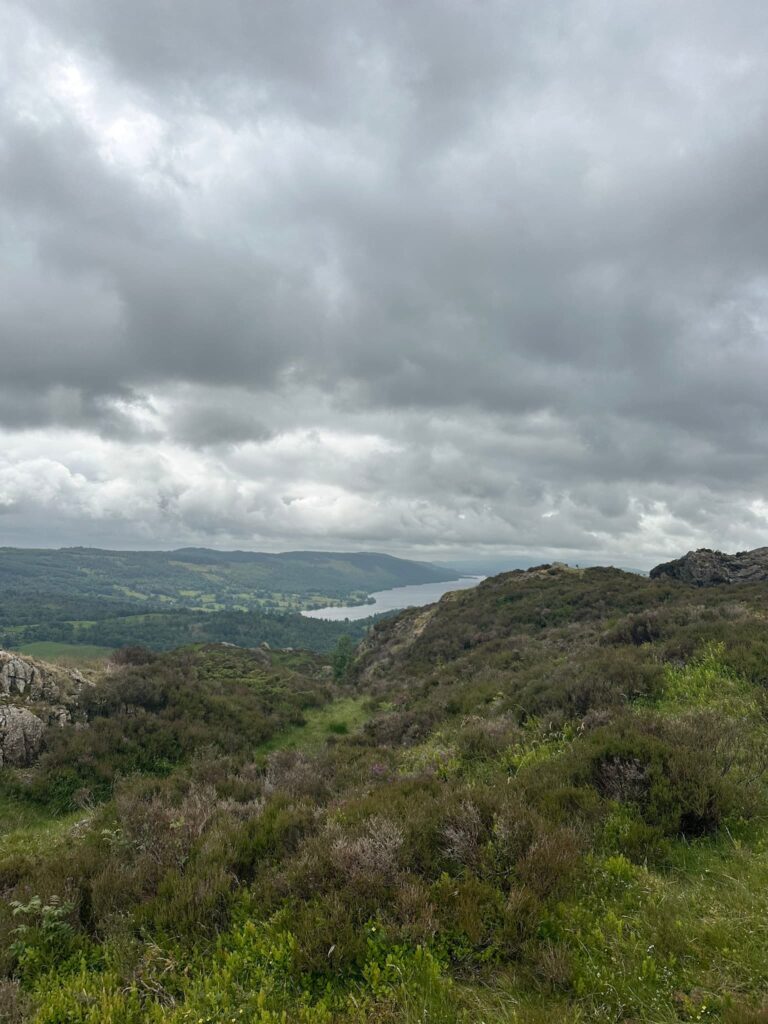
Black Fell at 323m is another low-level gem, sitting between Tarn Hows and Skelwith Bridge. It’s an easy-going walk with a mix of woodland and open fell, and the summit offers cracking views towards the Langdales and Windermere on a clear day.


This one has been on our to-walk list for a while! We had previously attempted to climb Holme Fell but an unfortunate navigation mishap meant we ended up on the summit of Ivy Crag, thinking it was Holme Fell, and not realising until it was far too late to return.. We were idiots.


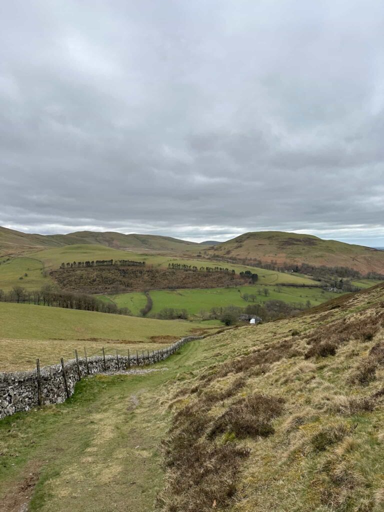
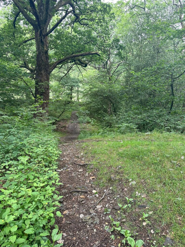
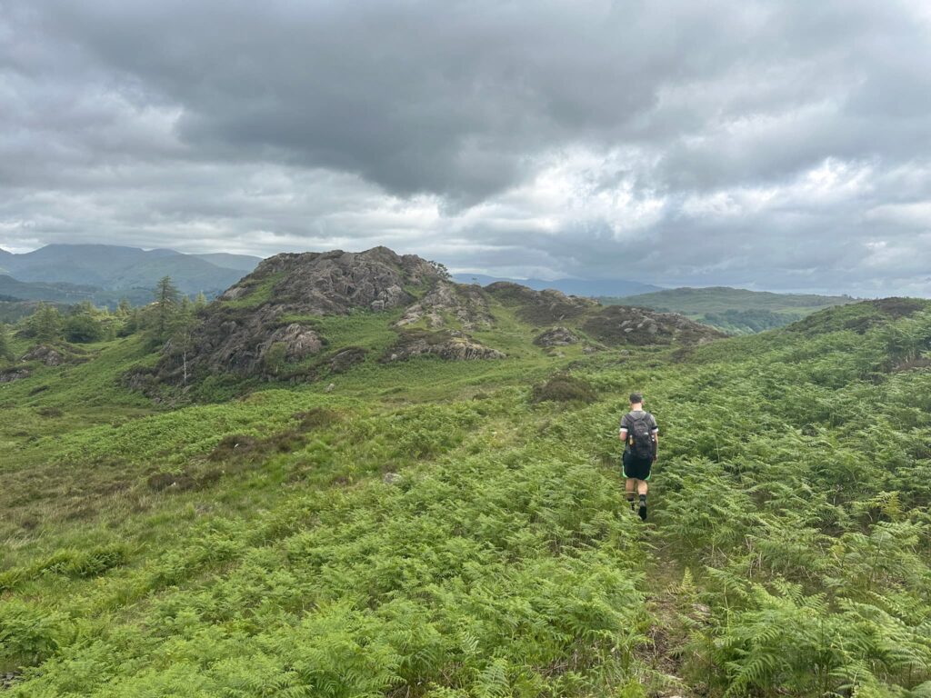
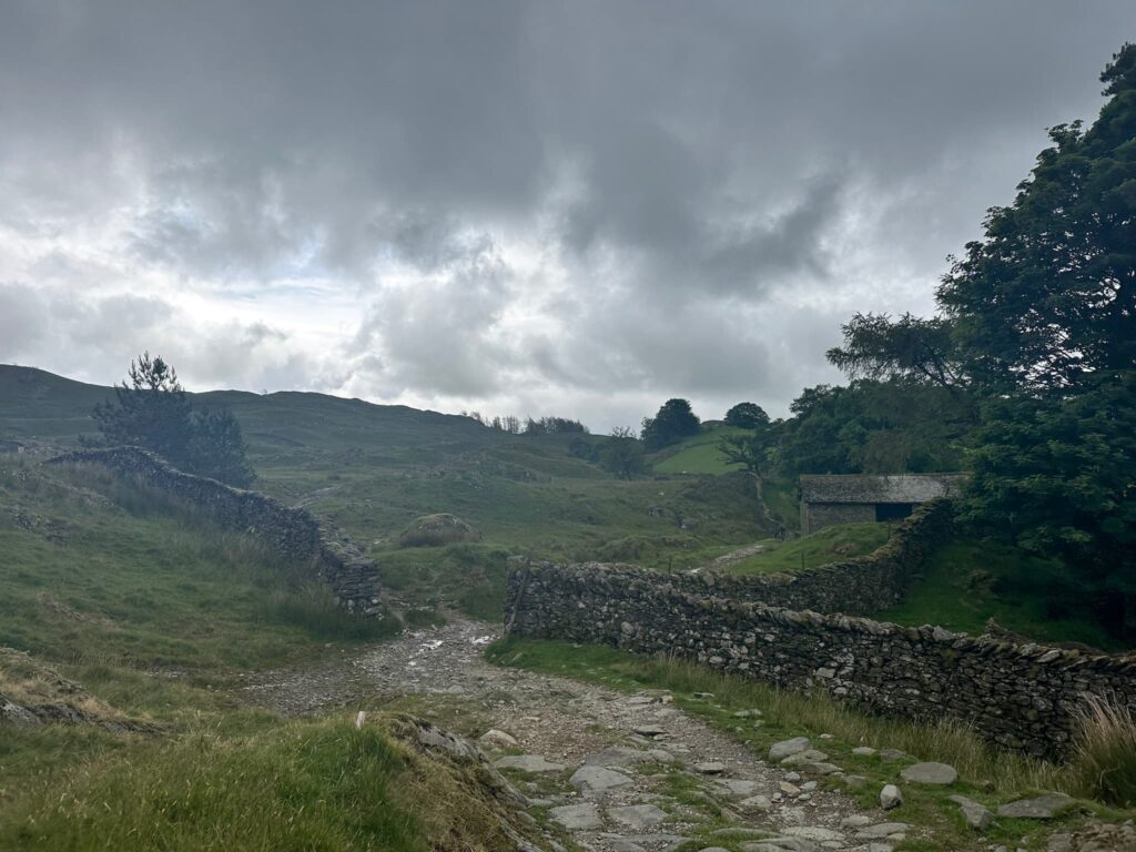
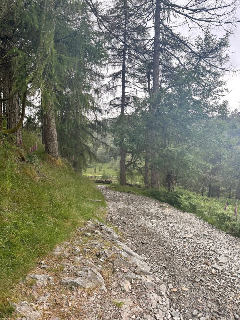
This time, our walk started in the Glen Mary car park and we set off along the road for a short distance until we reached the very pretty Yew Tree Tarn. Skirting the west of the tarn, the route starts to climb up the hillside through Harry Guards Wood before reaching Uskdale Gap. At the cairn, we took a left to follow the path which winds its way through the overgrowth to the south-west, over the undulating terrain. This area is beautiful – it’s like walking in Jurassic Park (without the dinosaurs). 

Yew Tree Tarn

Yew Tree Tarn

A woodland path

A woman walking in and amongst some giant trees

Uskdale Gap

Views from near the summit of Holme Fell


There is a small scramble section to climb up onto the summit of Holme Fell, marked by a small cairn. Annoyingly I didn’t get a good photo of the summit, but it’s just your average Lakeland cairn!


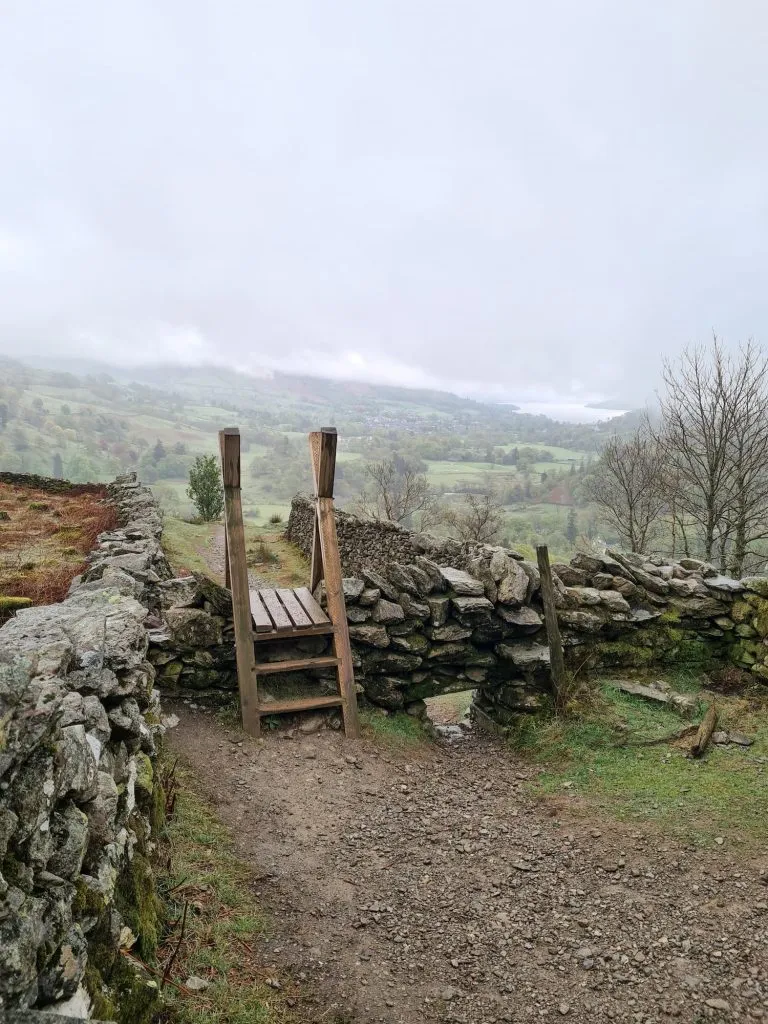
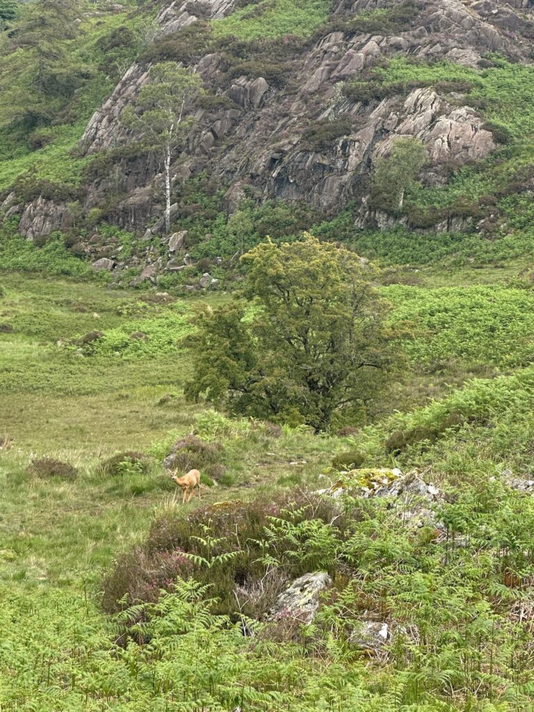
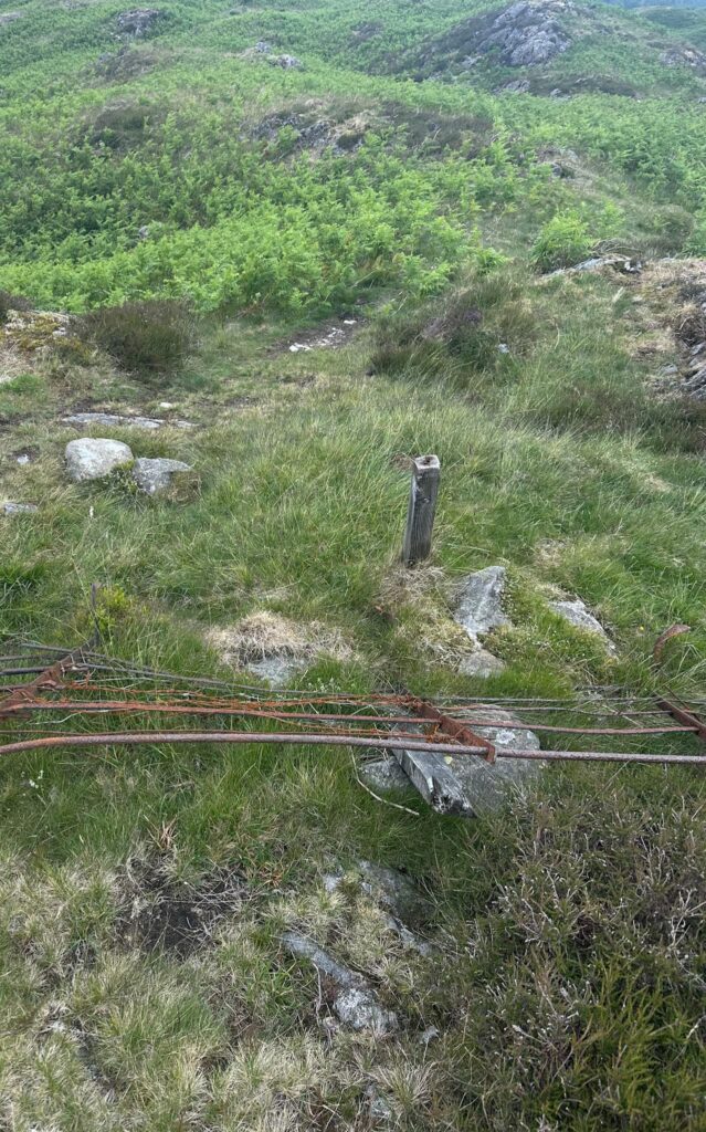
We retraced our steps back to Uskdale Gap (where we saw a beautiful deer!) and set out north-east, following the faint path on the ground to reach the fence line. We followed the fence line to reach a viewpoint, then crossed the fence and headed down to the north-west of Man Crag.

Climb over the fence

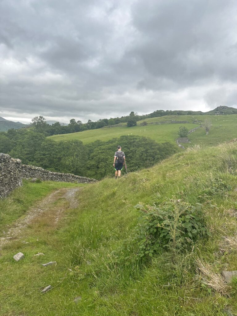
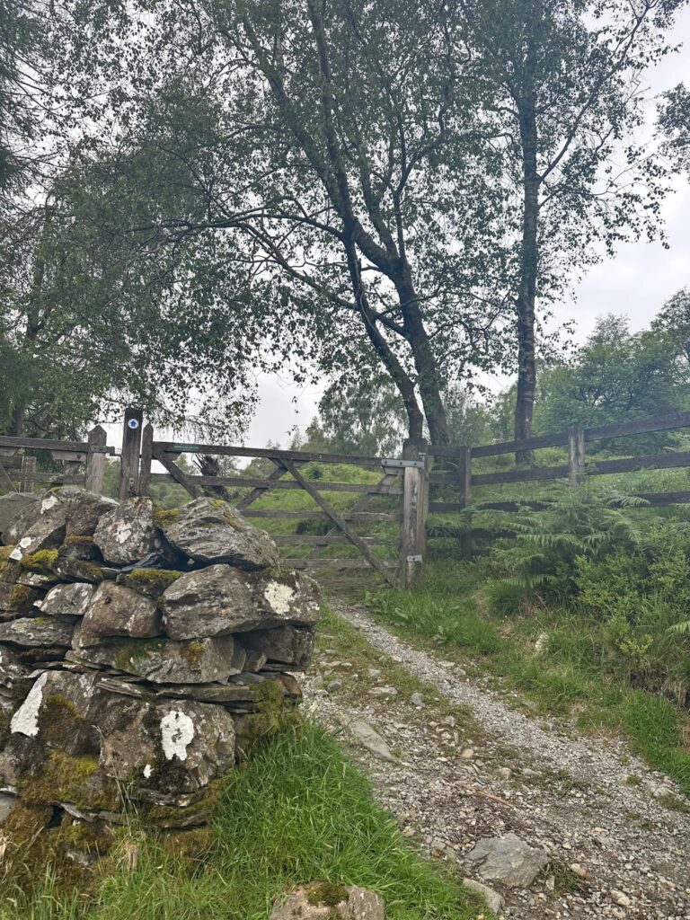
The route continues and meets Smithy Brow, which we followed down to the A593. Here the path runs along the roadside on the other side of a wall, and is part of the Cumbria Way. We followed this until it rejoined the road at a small parking layby and the junction  of High Oxen Fell Road. Here we crossed the road and followed the track up Hollin Bank.


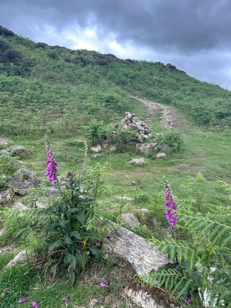
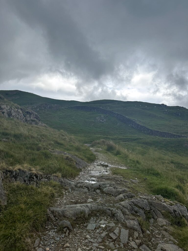
The path initially drops a little then climbs up the hill, passing through a wooden gate and a wooden signpost marking Skelwith Bridge, Little Langdale and Iron Keld. The track passes Low Arnside Farm and continues to climb the hillside, passing another wooden gate and then getting steeper as you get nearer to Black Fell.


Just after the path turns a corner, there’s a grassy path up to the left which will take you up to Black Fell summit.


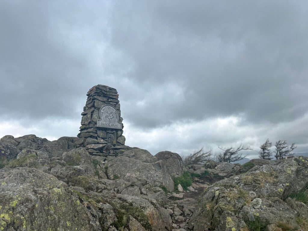
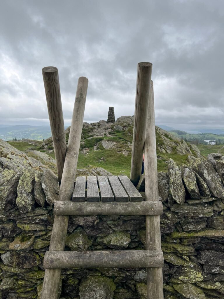
There is a stone trig point with a National Trust plaque naming it Black Crag near the summit, but the actual spot height summit is over a ladder stile and isn’t marked by anything. We nipped over the stile and back, then set off south-west down the hillside.

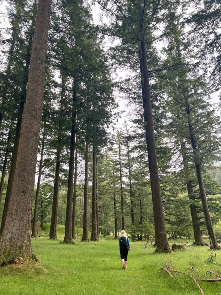
The route passes through a small wooden gate and then down through the Iron Keld Plantation on a well-maintained track, through the woods all the way to a junction with another gravel path where we turned right.


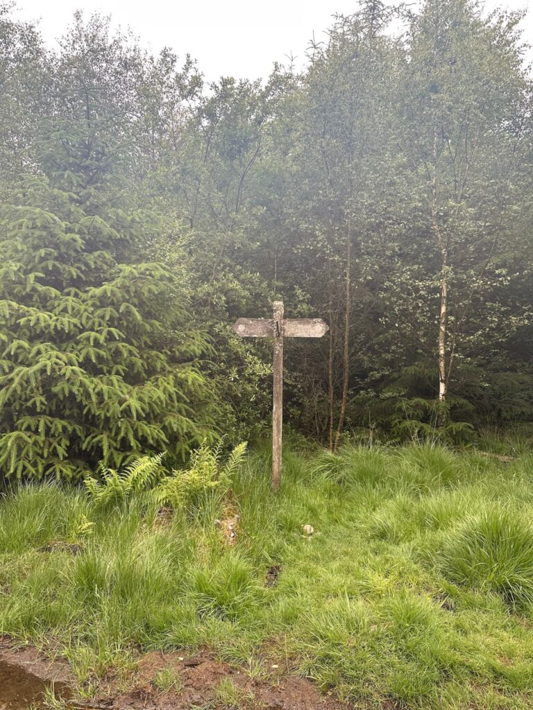
Passing through a larger wooden gate, we followed a gravel track down through the woodland. After about half a mile, we picked up a path heading south which runs through an area which has been subject to some forestry works recently, and then joins the path running around Tarn Hows.

Down the track…

Through the gate…

Tarn Hows, with a very moody sky!

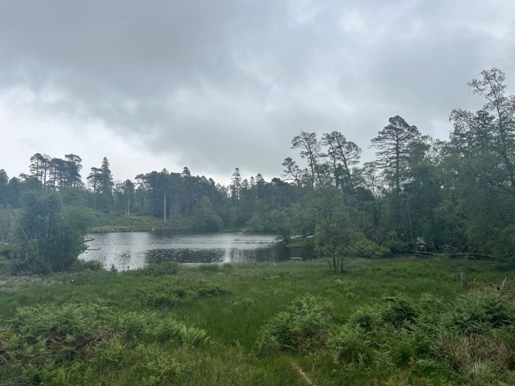
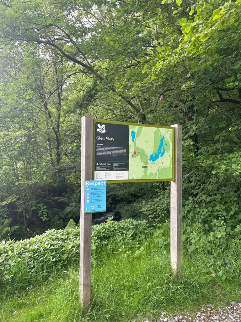
This picturesque spot was originally three natural tarns, flooded in the Victorian era as part of a landscape design, and is in the ownership of the National Trust who purchased the former Monk Coniston Estate.  It is now a Site of Special Scientific Interest and a popular spot for a lakeside wander as you can walk all the way around it.


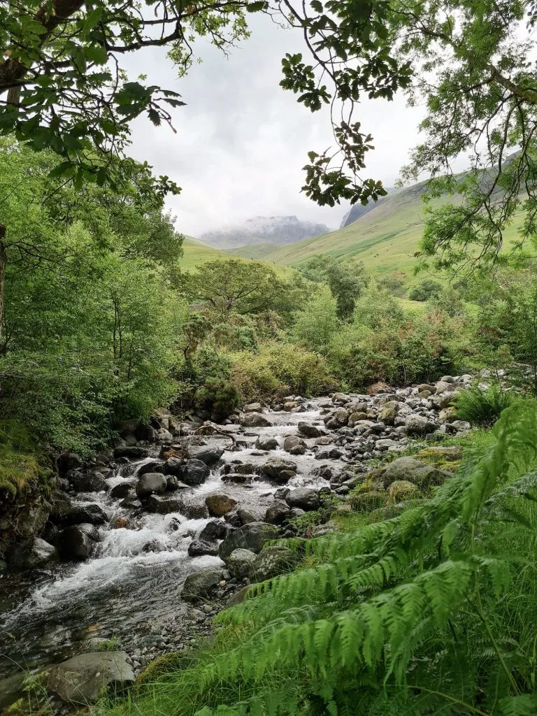
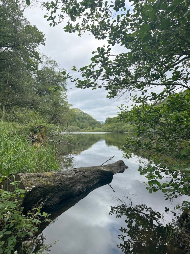
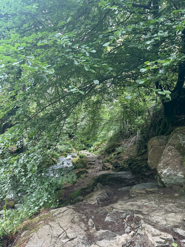
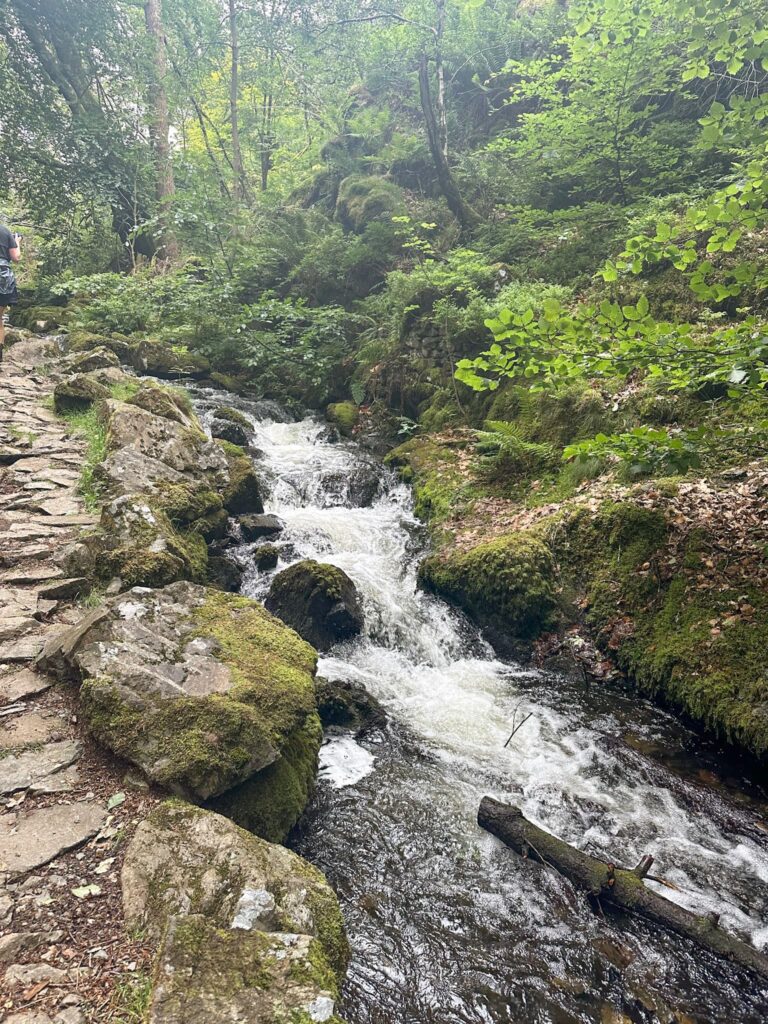
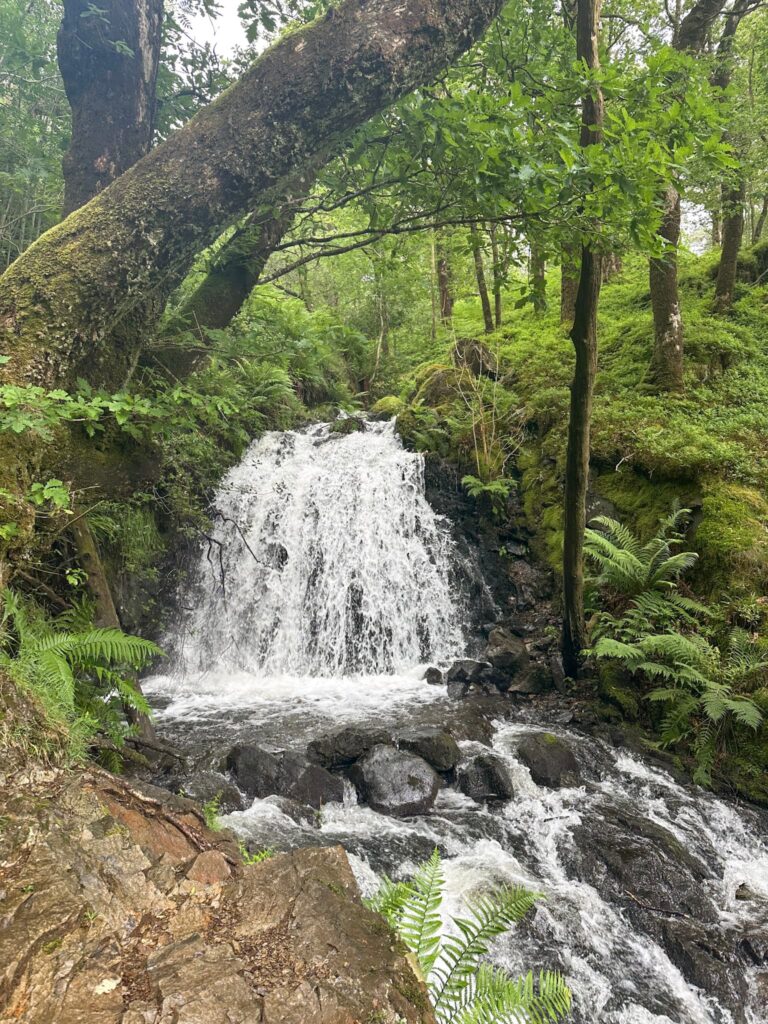
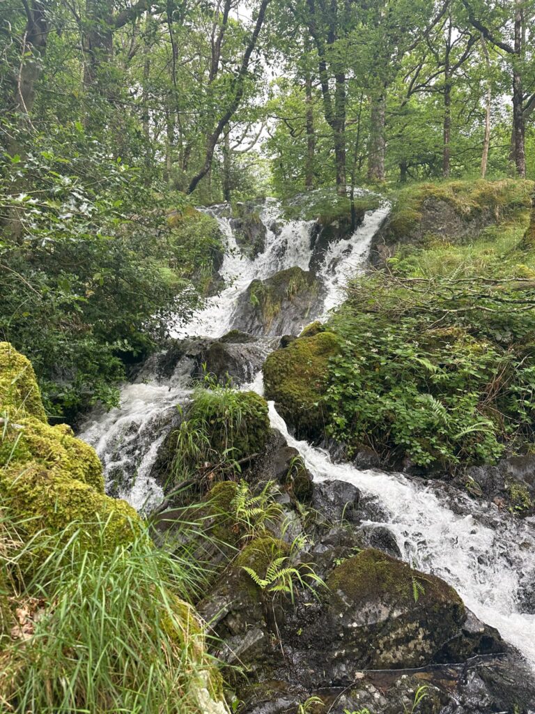
Our route follows the path running to the east of the tarn until we reached a stone bridge/weir. There’s a footpath running to the west down through the woodland, running alongside Tom Gill Beck. This fast-flowing stream runs through the wooded Glen Mary ravine. There are a couple of stunning waterfalls, one of which drops 30 feet (9m) and has has been an attraction to visitors for much of the 20th century. You’ll hear them before you see them!

The rocky path at the start of the trail

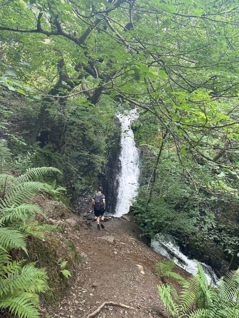
The route heads down the ravine, crosses a wooden bridge and then you’re back in the car park! 


Holme Fell, Black Fell and Tarn Hows Waterfalls Walk Details:


Walk Map (Opens in OS Maps): Holme Fell, Black Fell and Tarn Hows Waterfalls Walk

 
Parking: We parked in the Glen Mary Bridge car park, Glen Mary Bridge, Coniston LA21 8DP. This is a National Trust car park, free for members. We paid £9 for all day parking as we’re not NT members . W3W:///lovely.puppy.constants.
 
Facilities: None. Remember to leave no trace and take all your rubbish away with you.
 
Walk Time: 3-4 hours
 
Difficulty: ▲▲
 
Distance: 6.9 miles (11.1km)
 
Trig Points Bagged: Black Crag
 
Wainwrights Bagged: Holme Fell, Black Fell
 

For more Wainwright walks you might like:
 

Uldale Fells Circular | 8 Miles

Burnbank Fell, Blake Fell and Gavel Fell | 8 Miles

Wainwrights: 6 Eastern Martindale Fells

List of Wainwrights By Book

Tap to share with your hiking friends!

  • Facebook
  • Email
  • WhatsApp
« Derbyshire 3 Peaks | 18 Miles
Winnats Pass Scramble Walk [+ Best View Points!] | 3 Miles »

RELATED POSTS

  • A view from Hallin Fell summit with the large stone obeliskWainwrights: 6 Eastern Martindale Fells
  • Mardale Horseshoe | 10 Miles
  • Views of fells from the summit of Grisedale PikeList of Wainwrights By Book
  • A view of Gibson Knott on the Greenburn HorseshoeHelm Crag, Gibson Knott, Calf Crag and Steel Fell | 7 Miles

Leave a Reply Cancel reply

Your email address will not be published. Required fields are marked *

FIND YOUR NEXT WALK:

ABOUT ME

Y Garn with Kids - Y Garn via the Devil's Kitchen Walk in Ogwen Valley

Hello! I’m Jo! Welcome to The Wandering Wildflower, an outdoors lifestyle blog focusing on family walks in the Peak District, a place we love exploring. I want to share the Peak District hidden gems and show you there’s so much more than the honeypot places. When I’m not dragging my husband and now 11 year old out on Peak District walks or up mountains, I can be found on planning my next moorland walk or plotting a Geocache walk (and seeing where the nearest pub is!). I love the hills but hate the heights, so trig bagging is – er- fun!


I hope this blog will give you some ideas of places to visit in the Peak District and inspire you and your family to head into the great outdoors.  Thanks for stopping by!

CATEGORIES

  • CIRCULAR WALKS (191)
  • HOLMFIRTH WALKS (27)
  • ISLE OF SKYE WALKS (3)
  • LAKE DISTRICT WALKS (27)
  • LANCASHIRE WALKS (2)
  • LONG PEAK DISTRICT WALKS 10 MILES + (43)
  • MEDIUM WALKS 4-9 MILES (137)
  • PEAK DISTRICT SCRAMBLES (17)
  • PEAK DISTRICT WALKS (208)
  • PEAK DISTRICT WALKS WITH KIDS (76)
  • PEAK DISTRICT WALKS WITH PUBS (62)
  • SCOTLAND WALKS (6)
  • SHORT WALKS UNDER 3 MILES (41)
  • SNOWDONIA WALKS (5)
  • UK CAMPING (5)
  • YORKSHIRE WALKS (33)

Peak District Walks

List of Peak District Ethels

Peak District Peak Bagging

Peak District Trig Point Challenge

Peak District Walks with Pubs

Peak District Walks with Kids

Beautiful Walks in Holmfirth

Short Walks in the Peak District

Long Walks in the Peak District

AFFILIATE DISCLOSURE

This blog may contain affiliate links through which, at no additional cost to you, I may earn a small commission. I only recommend products I would use myself and all opinions expressed here are my own. As an Amazon Associate I earn from qualifying purchases. Read full privacy policy here.

ARCHIVES

PEAK DISTRICT WEATHER

Peak District mountain weather on Met Office

Peak District Trig Points

Promo image for a blog post about the Peak District Trig Point Challenge With Map of Peak District Trig Points and Walking Routes by The Wandering Wildflower

Peak District Ethels Challenge

Promo image for a blog post about the Peak District Trig Point Challenge With Map of Peak District Ethels and Walking Routes by The Wandering Wildflower

WALKING ROUTES STRAIGHT TO YOUR INBOX

Want new walks in your inbox? Drop your email below and I'll send you some ideas for walks you can try.

You can unsubscribe anytime. For more details, review our Privacy Policy.

Thank you!

You have successfully joined our subscriber list.

RSS LATEST POSTS

  • Winnats Pass Scramble Walk [+ Best View Points!] | 3 Miles
  • How to Find Three Shires Head
  • Peak District Pub Walks
  • Burnbank Fell, Blake Fell and Gavel Fell | 8 Miles
  • Bretton Park Circular Walk | 3 Miles

FOLLOW ON PINTEREST

Want new walks in your inbox? Drop your email below and I'll send you some ideas for walks you can try.

You can unsubscribe anytime. For more details, review our Privacy Policy.

Thank you!

You have successfully joined our subscriber list.

jo@thewanderingwildflower.co.uk

The Wandering Wildflower

  • Email
  • Facebook
  • Instagram
  • Pinterest
  • PRIVACY POLICY
  • TERMS & CONDITIONS
  • ABOUT

(c) The Wandering Wildflower. All Rights Reserved.

|| THEME BY ECLAIR DESIGNS