Peak District Trail Runs
The Peak District is a dream for trail runners, with everything from gentle valley paths to tough fell routes that’ll really test your legs. Whether you’re after a quick 5K with views or a long, hilly adventure there’s a route for every pace and mood. Here’s a collection of my favourite Peak District trail runs. I’ve sorted them by distance and elevation, because that’s what I look for when I’m choosing a trail run route.
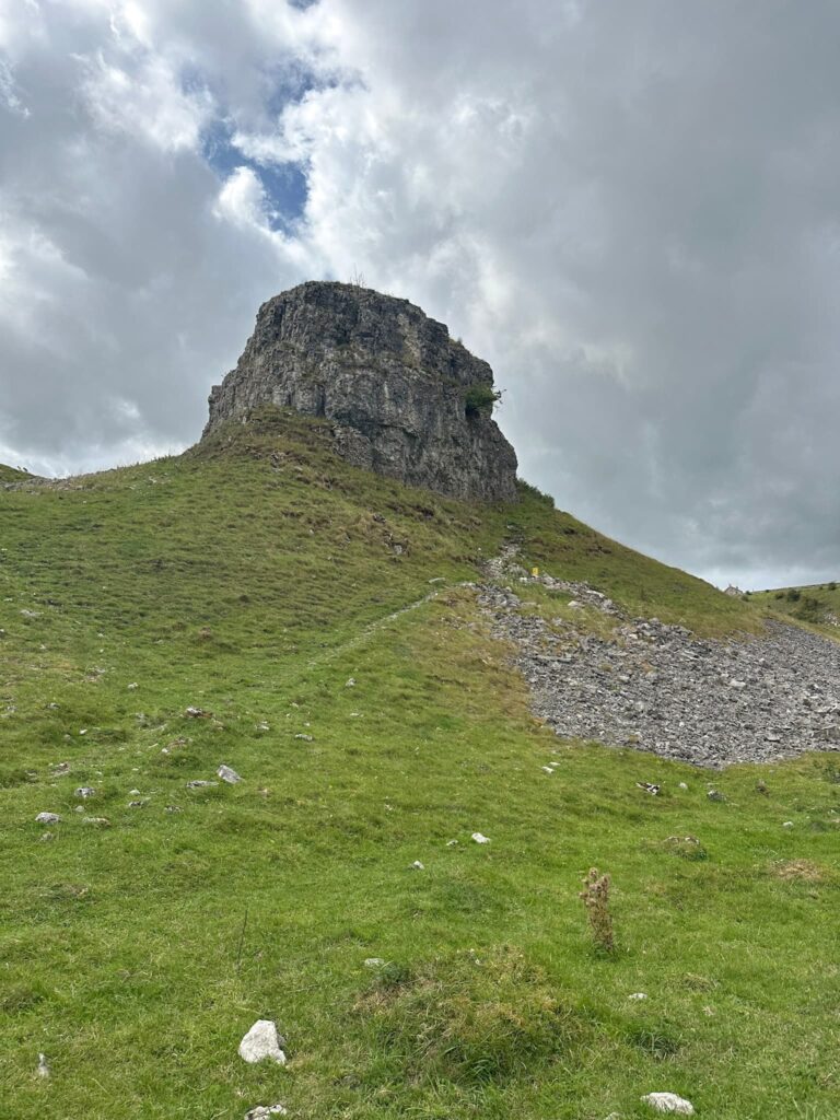
I tend to do most of my running in the Dark Peak, so there’ll be a lot of routes there!

Peak District Trail Run Routes
Feel free to download the GPX file below for the Peak District trail run routes. If this doesn’t work, you can download the GPX from the OS Maps link and upload it to your Garmin or other watch.
If you’re viewing this table on mobile, you might have to scroll left to right to get the downloads
| Route | Distance | Elevation | OS Maps | GPX |
|---|---|---|---|---|
| Holme Moss to Black Hill Trig Point | 4 miles (6.44km) | 375ft (114m) | OS Map | Route |
| Digley to Goodbent Lodge and Old Quarry | 4.51 miles (7.26km) | 525ft (160m) | OS Map | Route |
| Langsett and Mickleden Loop | 5.08 miles (8.17km) | 700ft (213.35m) | OS Map | Route |
| Summer Wine Trails: Holme Valley Five Miler | 5.18 miles (8.33km) | 500ft (152.39m) | OS Map | Route |
| Summer Wine Trails: Hepworth Trail Run | 5.39 miles (8.67km) | 750ft (228.59m) | OS Map | Route |
| Ladybower Loop | 5.6 miles (9.01km) | 350ft (106.67m) | OS Map | Route |
| Wessenden Valley and Binn Moor | 5.85 miles (9.41km) | 875ft (266m) | OS Map | Route |
| Digley to Holmbridge Loop | 6 miles (9.65km) | 875ft (266m) | OS Map | Route |
| Torside to Woodhead Tunnels | 6.25 miles (10km) | 225ft (68.58m) | OS Map | Route |
| Summer Wine Trails: The School Run | 6.38 miles (10.27km) | 975ft (297.17m) | OS Map | Route |
| Holme Moss to Snailsden and Britland Edge Hill (dogs not allowed) | 6.52 miles (10.49km) | 800ft (243m) | OS Map | Route |
| Win Hill and Ladybower Loop | 8.14 miles (13.1km) | 1125ft (342.88m) | OS Map | Route |
| Dead Edge End and Snailsden (dogs not allowed) | 8.35 miles (13.44km) | 1175ft (358.12m) | OS Map | Route |
| Summer Wine Trails: Stairway to Heaven Race | 8.57 miles (13.79km) | 1350ft (411.46m) | OS Map | Route |
| West Nab and Deer Hill Loop (dogs not allowed on West Nab) | 8.58 miles (13.81km) | 1350ft (411.46m) | OS Map | Route |
| Black Hill and Crowden Little Brook Loop | 9 miles (14.48km) | 1625ft (495.28m) | OS Map | Route |
| Kinder Downfall Fell Race | 9.59 miles (15.43km) | 2023 ft (616.58m) | OS Map | Route |
| Marsden 10 Mile Challenge Race | 10.2 miles (16.41km) | 1400ft (426.7m) | OS Map | Route |
| Easter Gate, March Haigh, March Hill and Black Moss Res via Wessenden Valley | 10.5 miles (16.89km) | 1800ft (548.61m) | OS Map | Route |
| Langsett to Margery Hill and High Stones | 11.4 miles (18.34km) | 1800ft (548.61m) | OS Map | Route |
| Torside to Higher Shelf Stones and Bleaklow | 12.7 miles (20.43km) | 1788ft (545m) | OS Map | Route |
| Longdendale Reservoirs Circular | 13.3 miles (21.40km) | 1150ft (350.5m) | OS Map | Route |
| Mickleden Straddle Fell Race | 14.68 miles (23.62km) | 2322ft (707.71m) | OS Map | Route |
| Fairholmes – Derwent Edge, Back Tor, Lost Lad and Reservoirs Loop | 15 miles (24.14km) | 1850ft (56.85m) | OS Map | Route |
| Ladybower, Derwent and Howden Reservoirs | 15.4 miles (24.78km) | 925ft (281.93m) | OS Map | Route |
| Kinder Trog Fell Race | 15.66 miles (25.2km) | 3089ft (941.48m) | OS Map | Route |
| Holme to Snailsden, Holme Moss, Black Hill, West Nab and Back | 17.7 miles (28.48km) | 2825ft (861m) | OS Map | Route |
| Dovestone Skyline | 20 miles (32.34km) | 4775ft (1455m) | OS Map | Route |
| The Edale Skyline from Hope | 20.1 miles (32.34km) | 3100ft (944m) | OS Map | Route |
| South Pennine 24 Challenge – LDWA | 24 miles (38.62km) | 3550ft (1082m) | OS Map | Route |
| Saddleworth 10 Reservoirs | 27.1 miles (43.6km) | 4175ft (1272.48m) | OS Map | Route |
If you’re looking for a race GPX, you’re better checking out the race organisers website as race routes change over the years. Please don’t use these routes for racing!
Tips for Trail Running in the Peak District
1. Wear the right shoes
Trail-specific running shoes are a must – look for ones with good grip (like Vibram soles or aggressive lugs) as the terrain can be rocky, boggy and slippery – sometimes all in one run. I like Inov8 and Nike shoes, but you’re best going to a shop where you can try shoes on, as footwear is so individual.
2. Pack light, but smart
Even on short runs, it’s worth carrying a small running vest or belt with a few essentials:
- Water (especially in summer)
- A windproof or waterproof jacket (the weather changes quickly up on the tops)
- Snacks or energy gels on longer routes
- OS map or GPX downloaded in case of no signal
- A phone and basic first aid (plasters, blister kit, whistle)
3. Dress for the conditions
Layers are key. A moisture-wicking base layer and lightweight waterproof will cover most seasons. In winter or on the tops, a buff and gloves are also a good shout.
4. Know your route
The Peak District is full of sheep tracks and sneaky turn-offs. Plan your route beforehand and download it onto your watch or phone just in case the mist rolls in or signs vanish.
5. Respect the terrain
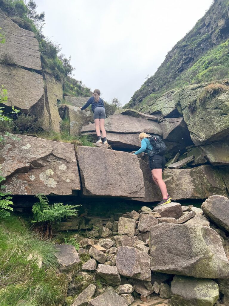
Some sections are rocky and uneven – walk if you need to! It’s better to take it steady than twist an ankle miles from the nearest road.
6. Be fell-runner friendly
Say hi to walkers, shut gates behind you and keep an eye out for livestock. Take all your rubbish away with you. If you’re crossing access land, check if there are any restrictions (for example dogs are not allowed at Snailsden or West Nab).
7. Timing matters
Sunsets are magical but remember to pack a headtorch if there’s any chance you’ll be out late. Some routes get busy mid-morning – go early or later for quieter trails.
I’ll keep adding more Peak District trail run routes to this as and when I get a chance. Don’t forget you can also search for any place or route length in miles:
Do you have a favourite trail running route?