Derwent Valley Skyline Walk | 24.5 Miles
The Derwent Valley Skyline is not a walk for the faint hearted. It’s 24.5 miles of unforgiving Dark Peak terrain, with the finest bogs and peat groughs for you get your boots stuck in. This route involves lots of off path sections, so good navigation is a must! Leaving Derwent Edge the walk visits Margery Hill, Outer Edge and Bleaklow Stones before returning via Crook Hill, visiting 4 trig points along the way.
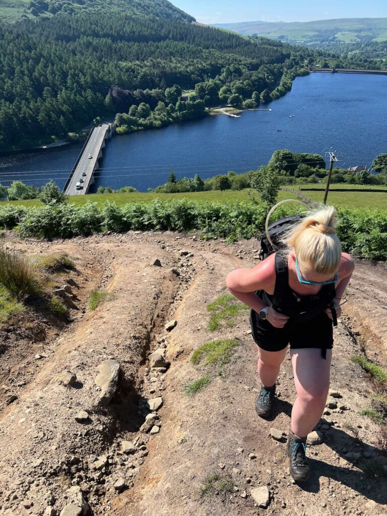
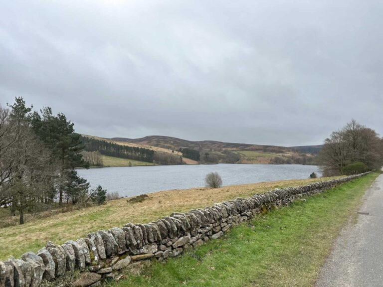
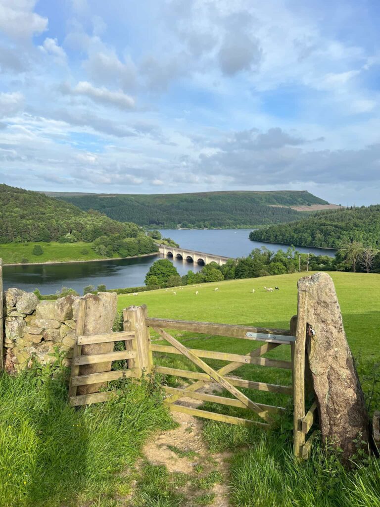
We had been planning to walk the Derwent Valley Skyline for some months now but a combination of bad weather and illness meant it had been pushed down the ‘to walk’ list. This is a walk that needs good weather (or freezing cold weather, when the bogs are frozen) otherwise it will be a very miserable day out. We finally hit the perfect day so set off nice and early to get a parking space on Ashopton Viaduct over Ladybower Reservoir.
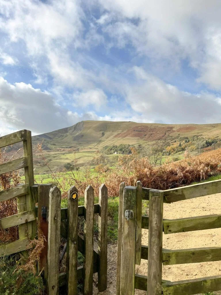
We parked the car and set off along the side of Ladybower Reservoir, crossing the A6013 to reach the Ladybower Inn. Here there’s a track that runs up behind the pub and we followed this until it forked, taking the left hand fork and walking east. The path starts out lovely and level, but soon starts to climb steeply up Ladybower Tor and on to Whinstone Lee Tor.
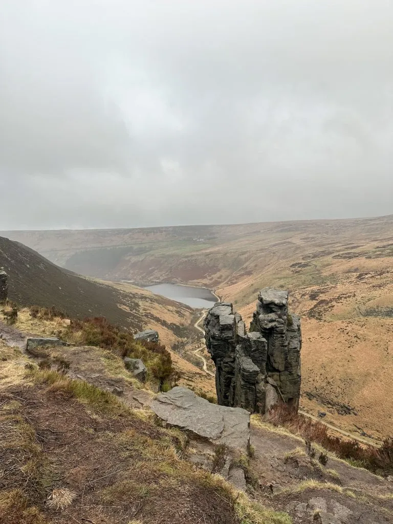
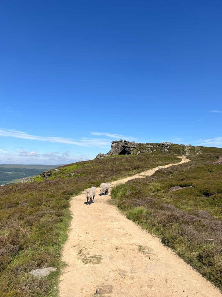
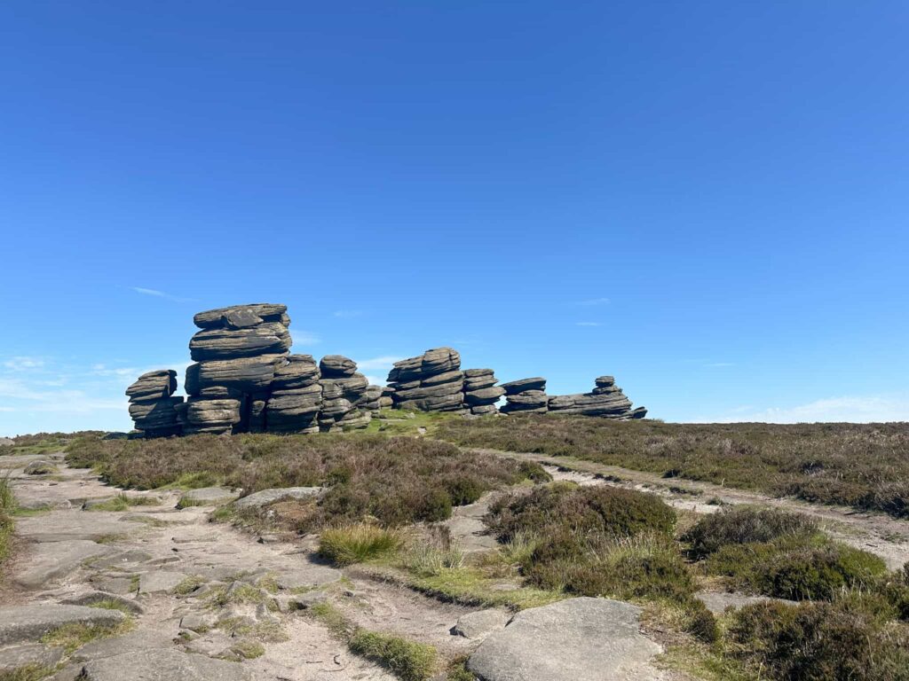
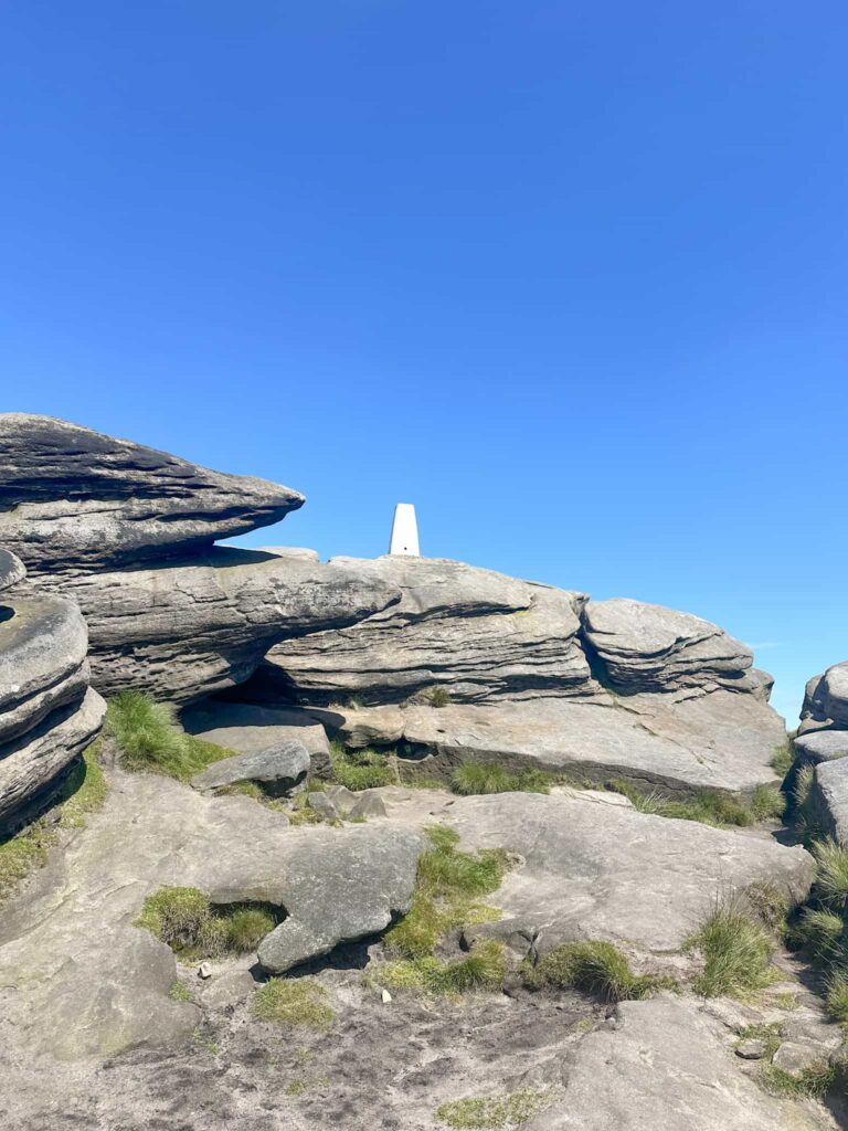
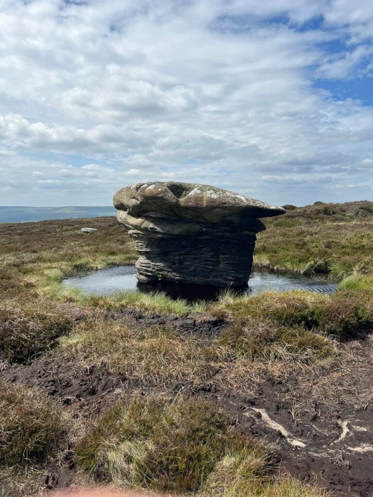
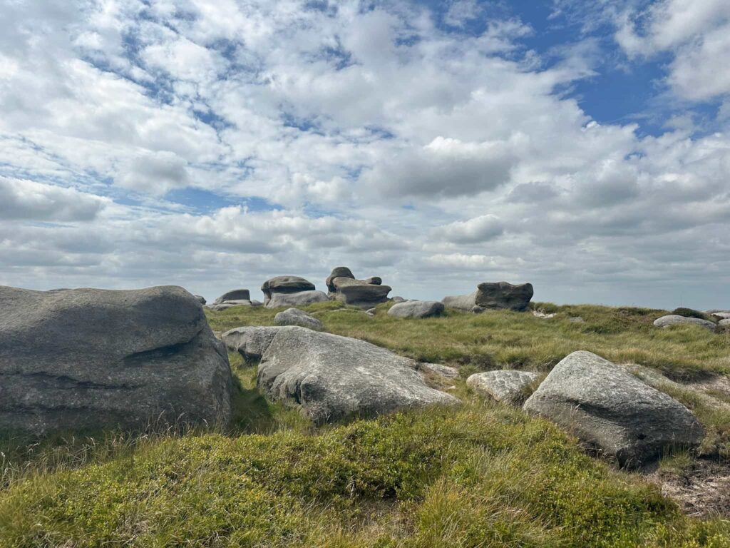
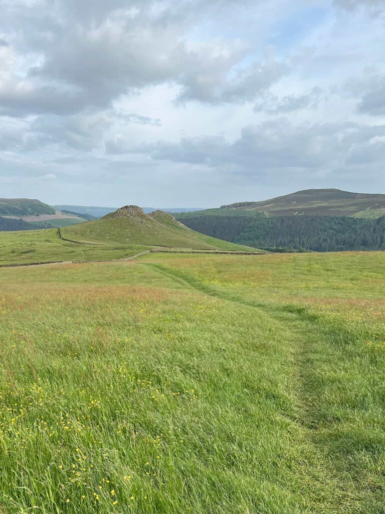
The route then wanders along the paved Derwent Edge, passing the stone formations of the Hurkling Stones, Wheel Stones, White Tor, Dove Stone Tor and the Cakes of Bread before reaching the trig point high on the rocks at Back Tor.
It’s worth noting that dogs are not actually permitted on Derwent Edge as it’s all a grouse moor. There are signs up, but no-one seems to pay them any attention. The path along Derwent Edge is not marked as a public right of way on the OS Map (which are shown green), and dogs are only allowed on public rights of way up here.
After a snack at Back Tor, we set off north-east along Cartledge Stones Ridge to Cartledge Flat before leaving the path behind to cross Round Hill. We were following a route from the LDWA and this is where it got quite tough going – I had shorts on, and the dried heather was VERY scratchy, there was no path to speak of and it took us a while to navigate across Round Hill.
What we SHOULD have done is left the path 0.2 miles earlier and followed a faint trod alongside Cartledge Brook across Robin Hood Moss and Featherbed Moss to pick up the path at Howden Edge. This would also enable you to tick off the Ethel of High Stones. The OS map is the better path – the Komoot is what we actually walked, so get your GPX from the OS link below!
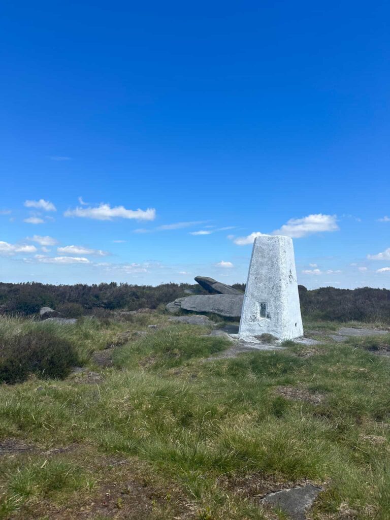
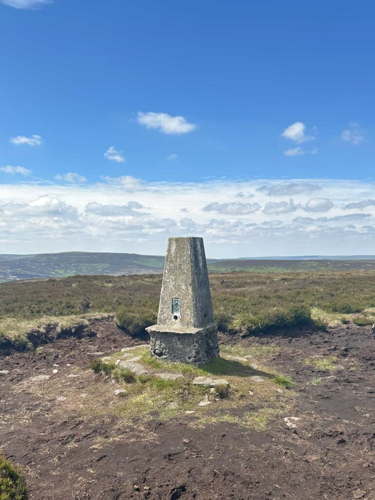
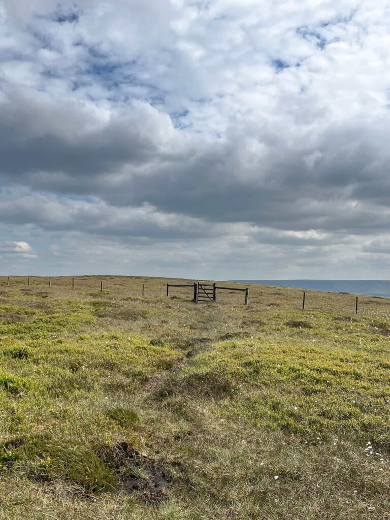
After we had yomped across the heather and groughs of Round Hill we reached Howden Edge and followed the path to Margery Hill and making a quick detour to the trig point there, our second of the day. We had a quick snack stop near the trig (but not at it, because we’re not trig hoggers!) then headed back to Wilfrey Edge. Over the stile and along Howden Edge, the route crosses the Cut Gate path and heads towards the remote trig point at Outer Edge.
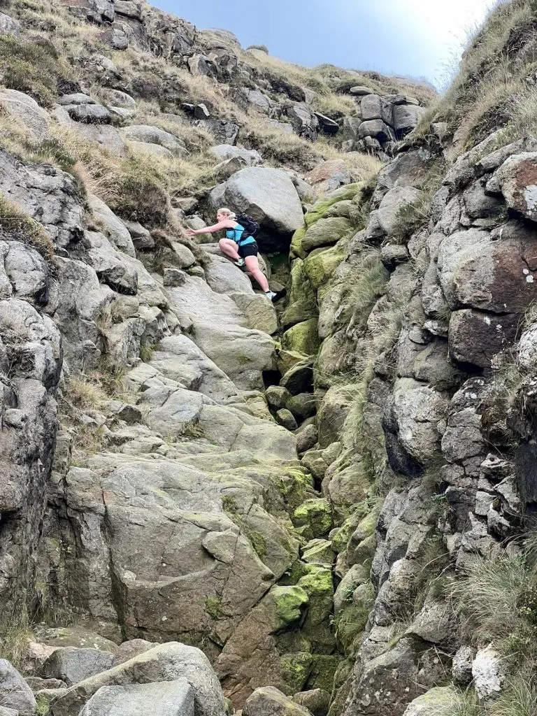
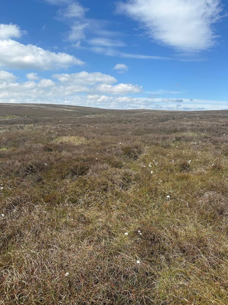
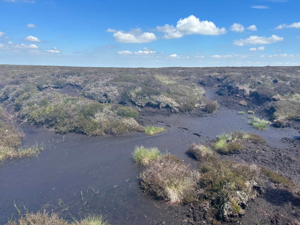
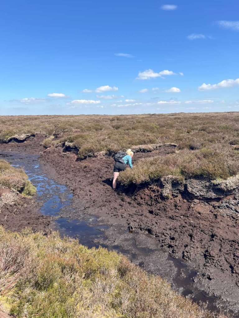
This part of the route is renowned for deep, wet peat bogs so care should be taken here – I saw a picture over winter where a fell runner had fallen in up to his armpits! There are a few huge groughs with wet peat in the bottom and we both went in – I was lucky and only went in ankle deep but Joel went in up to his knees!
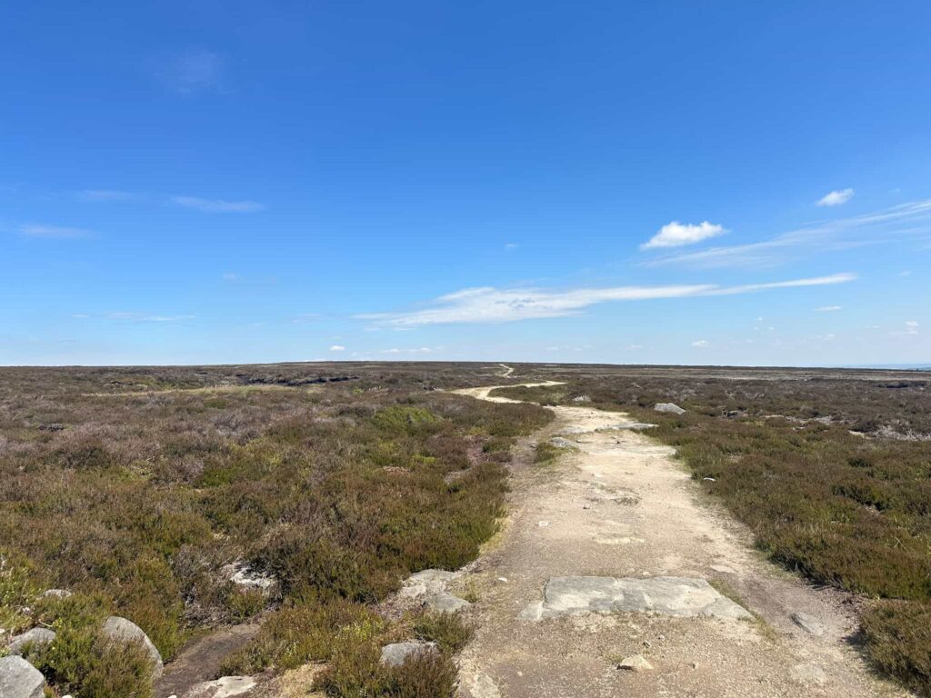
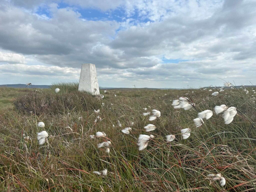
We reached the trig point at Outer Edge then set off roughly north for 1.6 miles before the ‘path’ starts to turn north-west across the boggy expanse of Cat Cloughs Head, Harden Moss, Howden Edge and Featherbed Moss, passing the 1894 Stone with its moat on the way to Swains Head.
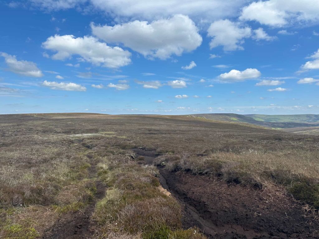
From Swains Head the route continues for around a mile before turning south, crossing a small watershed. This part of the route was very boggy, with several huge peat groughs to negotiate. There are stakes marked on the OS map but we only noticed one or two white plastic ones. In some places you can see a faint trod but it’s all too easy to lose the path here, so good navigation is essential.
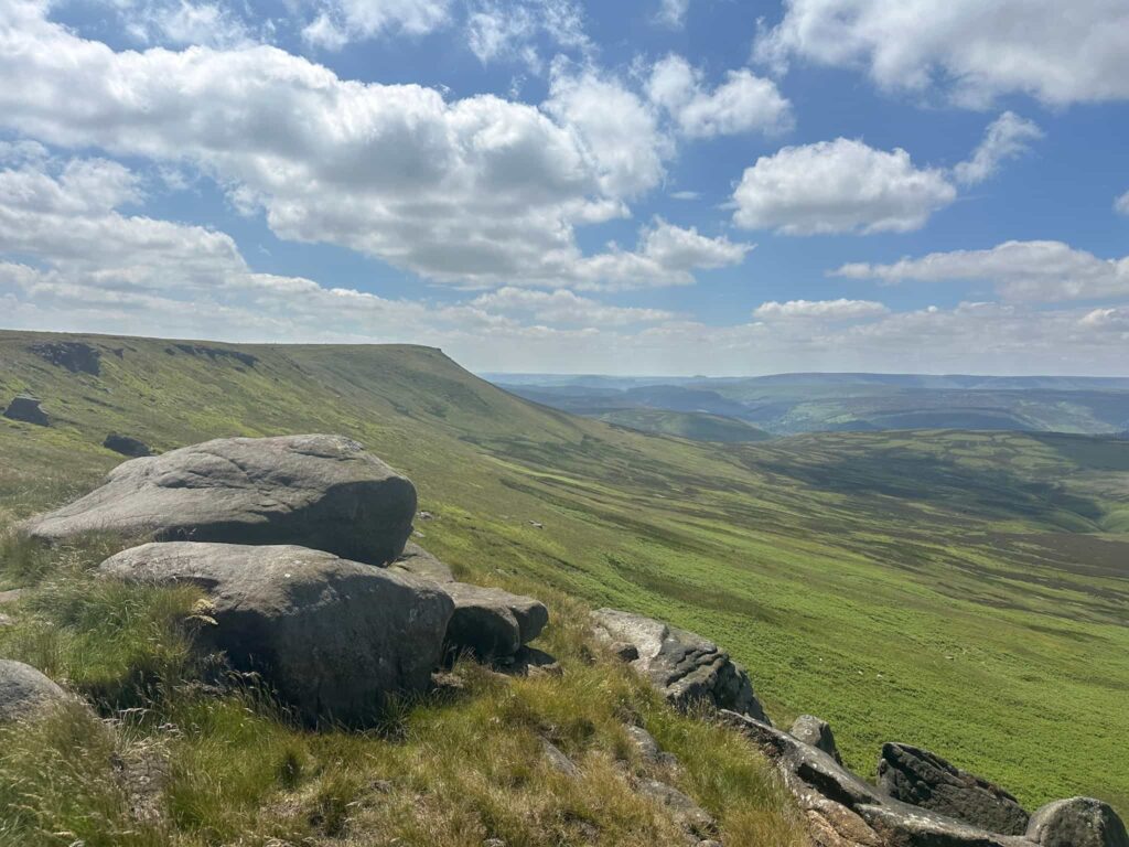
After the arduous slog through the groughs we eventually reached the better path running up to the eastern edge of Bleaklow Stones. After stopping for a rest to question our life choices, we set off down Westend Head to a gate, passed through and headed along The Ridge for around 2 miles to the last trig point of the day, Westend Moor. This section of the moor is again very wet underfoot, with the path dipping in and out and in bad weather navigation would be very difficult.
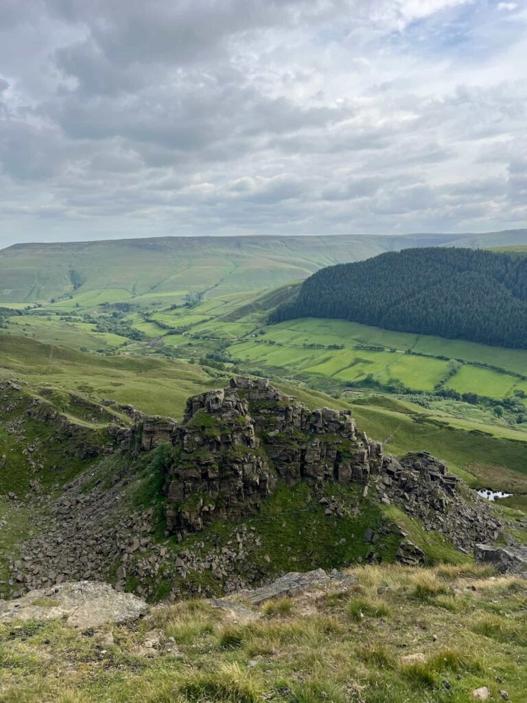
After another 1.5 miles we reached Alport Castles, the unusual rock formations caused by the largest landslide in the UK. We continued over Rowlee Pasture and Bellhagg Tor. Crossing the Lockerbrook track near Woodcock Coppice, we followed the public bridleway along Hagg Side over Bridge-End Pasture, then followed the footpaths through the farmland past the twin peaks of Crook Hill. The bridleway runs into the farmyard of Crook Hill Farm and the route here isn’t obvious, but after opening the gate head straight forward (north-east) and there is a small gate behind the farm buildings leading out into the fields, and down Toadhole Cote to join the road leading to Fairholmes. From here it was a short walk back to the car and a very welcome sit down!
I totally underestimated how tough this walk would be – the terrain is arduous in places, to say the least, and navigation was a real challenge at times. We also should have done more research, rather than just using a route online – the LDWA route is definitely harder than it needs to be. I naively thought it would be on a par with the Edale Skyline but it is much tougher than that. Still, I’m glad we’ve completed the Derwent Valley Skyline now!
Derwent Valley Skyline Walk Details:
As mentioned above, the Komoot is the route we actually took whereas the OS Maps link and GPX file are the way we should have gone.

Walk Route in OS Maps: Derwent Valley Skyline Walk
Parking: Free parking on Ashopton Viaduct, A57 (Snake Road) W3W:///trams.tiredness.stalemate
Facilities: None but the Ladybower Inn is near the start of the walk, and there are public toilets at Heatherdene Car Park a short distance away. Please take all your rubbish away with you – I found 4 of those foil balloons on this walk.
Walk Time: 9-10 hours
Difficulty: ▲▲▲
Distance: 24.5 miles (39.5km)
Elevation: 3050ft (929m)
Trig Points Bagged: Back Tor, Margery Hill, Outer Edge, Westend Moor
Peak District Peaks Bagged: Back Tor, Margery Hill, Outer Edge
Peak District Ethels Bagged: Back Tor, Margery Hill, Outer Edge – you could detour to Alport Moor and the OS Route above will get High Stones as well.
For more challenging Peak District walks, you might like:
- Dark Peak Snake | 20 Miles
- Derwent Reservoirs Circular (Dambusters Challenge Walk) | 24 Miles
- Holme Valley Circular Walk | 24 Miles
- Fairholmes to the Grinah Stones | 17 Miles
- Edale Skyline [With GPX File] | 20 Miles
- Dove Stone Reservoir Skyline Walk | 21 Miles
- Derbyshire 3 Peaks | 18 Miles