Triple Trig Walk: Soles Hill, Grindon Moor and Martins Low | 8 Miles
This 3 trig point walk starts from the pretty Peak District village of Waterfall and explores the Staffordshire countryside near Leek. At 8 miles this walk passes through the ancient woodland of Old Soles Wood and visits three trig points – Soles Hill, Grindon Moor and Martins Low.

Soles Hill trig point is on private land and we asked permission from the farmer at Throwley Moor Farm. The farmer was very helpful and warned us about his cows, sheep and lambs, told us how best to access the trig point and then let us take a shortcut through his field down to Soles Hollow. A huge thank you! Grindon Moor and Martins Low trig points are roadside trigs, each just over the other side of a wall.
Our walk started in the village of Waterfall. There isn’t actually a visible waterfall in the village, which gets its name from where the River Hamps disappears into an underground watercourse. Parking is very limited here – we parked outside the church then walked out onto the road. The footpath leads past a lovely old house over the fields to the stream.
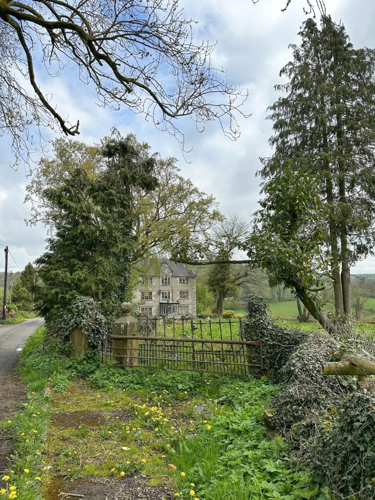
Here it gets a bit confusing – don’t cross the stile, follow the stream a short distance and where the footpath forks take the right hand path through the woods. The path through the woods is steep in places but there were lots of wood anemones blooming.

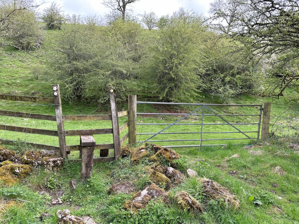
Don’t go over this stile!
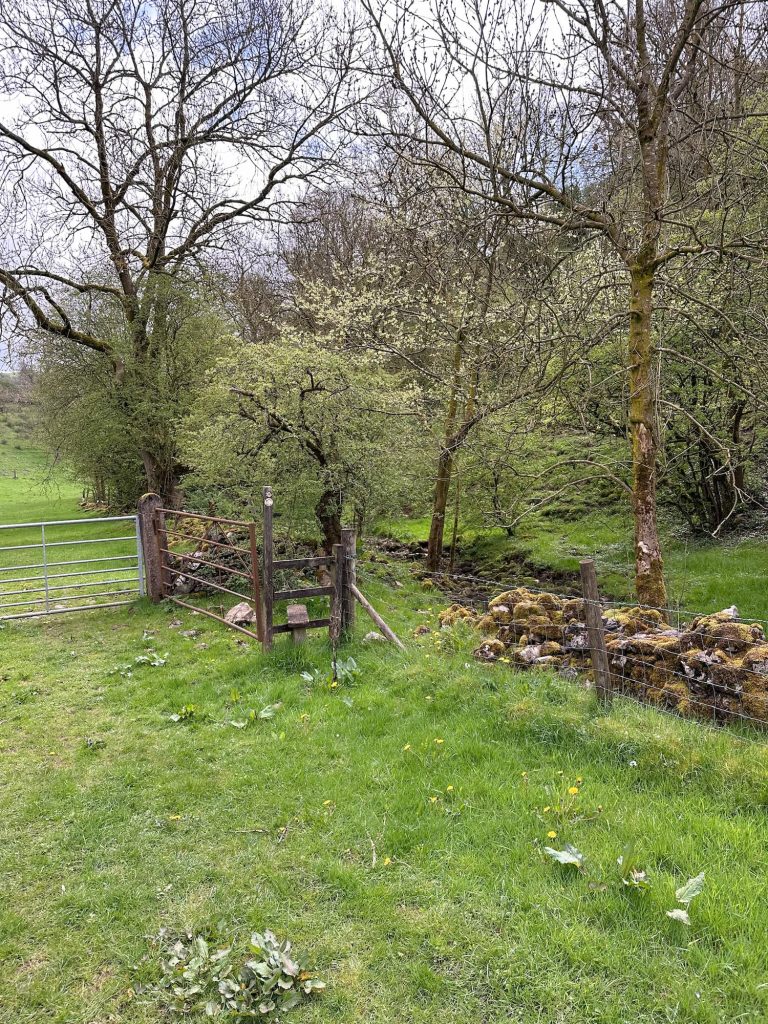
This is the right stile to go over
Passing through a gate at the top of the wood we then walked down the field to the Manifold Trail track, before crossing the River Hamps and heading up through an extremely muddy wood. This was very slippery and muddy!
We eventually left the woodland and the footpath brought us out on Farwall Lane, where we picked up the farm track to Throwley Moor Farm. The farmer kindly let us through the farmyard and up the steep hillside to Soles Hill trig point which has stunning views.


Setting off down the hillside we headed for the wall at the bottom, which runs alongside Soles Hollow, a former ancient track running through Old Soles Wood. The track leads to the Manifold Trail, which we crossed and then found the footpath up through the fields to Grindon.

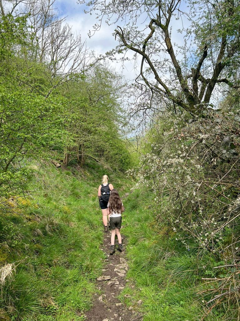
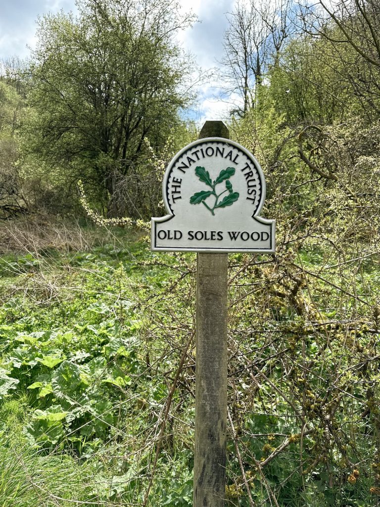
In Grindon we headed up a farm lane through the village to the church and then past the kids play area, and found the footpath over the fields which led out onto Grindon Moor Lane. We walked a short distance up Grindon Moor Lane to bag the trig point then retraced our steps back to the junction, taking a right onto Woodisse Lane.


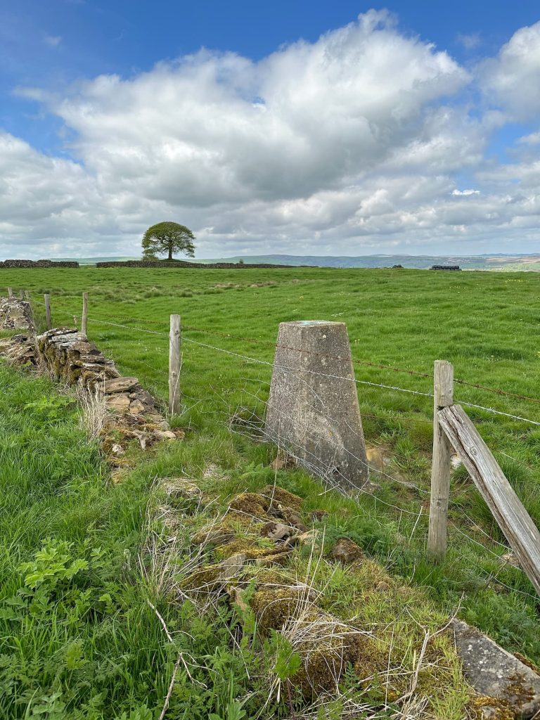
Woodisse Lane becomes Martinslow Lane, and Martins Low trig point is just over a wall on this road.
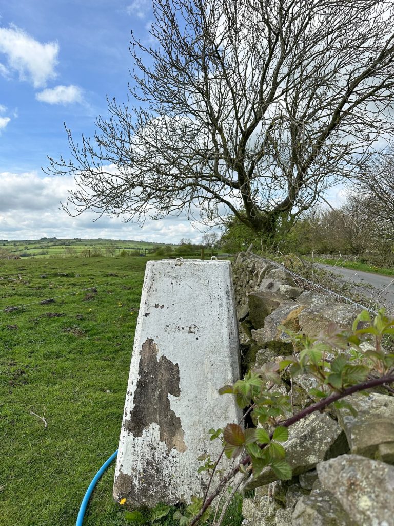
Martinslow Lane runs most of the way back into Waterfall, and we crossed a field next to the Red Lion Pub (where we had some lunch) before crossing another field back to the church where we parked.
This was a great walk ticking off some of the Peak District trig points, and we got to explore lots of the Staffordshire countryside too.
Soles Hill Trig Point Walk Route Map:
Walk Map (Opens in OS Maps): Soles Hill, Grindon Moor and Martins Low Trig Point Walk
Parking: We parked outside St James and St Bartholomew Church ST10 3JB (What3Words: ///laying.continued.paves)
Facilities: None but there is a pub en-route
Walk Time: 3-4 hours
Difficulty: ▲▲
Trig Points Bagged: Soles Hill, Grindon Moor, Martins Low
Peak District Peaks Bagged: Soles Hill
Peak District Ethels Bagged: None



Leave a Reply