Steel Cotton Rail Trail: Guide Bridge to Manchester | 6 Miles
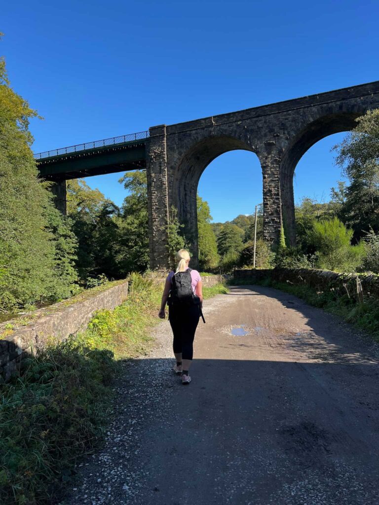
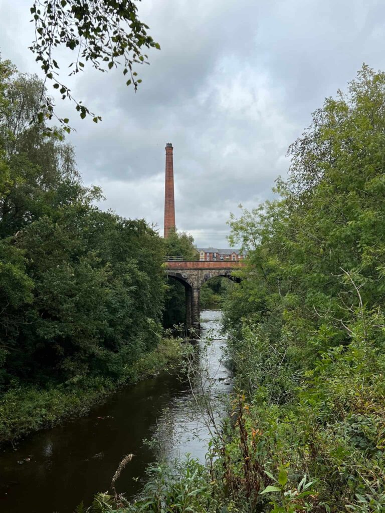
The Steel Cotton Rail Trail isn’t just about wild moors and valleys – it also winds through towns, canals and industrial heritage on its way into Manchester. The last section, from Guide Bridge to Manchester, is a gentle canal-side walk with plenty of interest along the way. You’ll pass the historic Fairfields Moravian Settlement, cross the characterful Roving Bridge, and follow easy towpaths all the way into the city, where the trail ends right in the heart of Manchester.
This post came about after a lovely invite from the High Peak and Hope Valley Community Rail Partnership, who asked me to help spread the word about their new walking trail. I wasn’t paid to do this – I just thought it was a great idea worth sharing.
Walk Highlights
Fairfields Moravian Settlement
This historic village, founded in the 18th century, has a unique layout with its neat rows of houses and chapel at the centre. It’s not what you expect to stumble across on a walk into Manchester, which makes it all the more interesting.
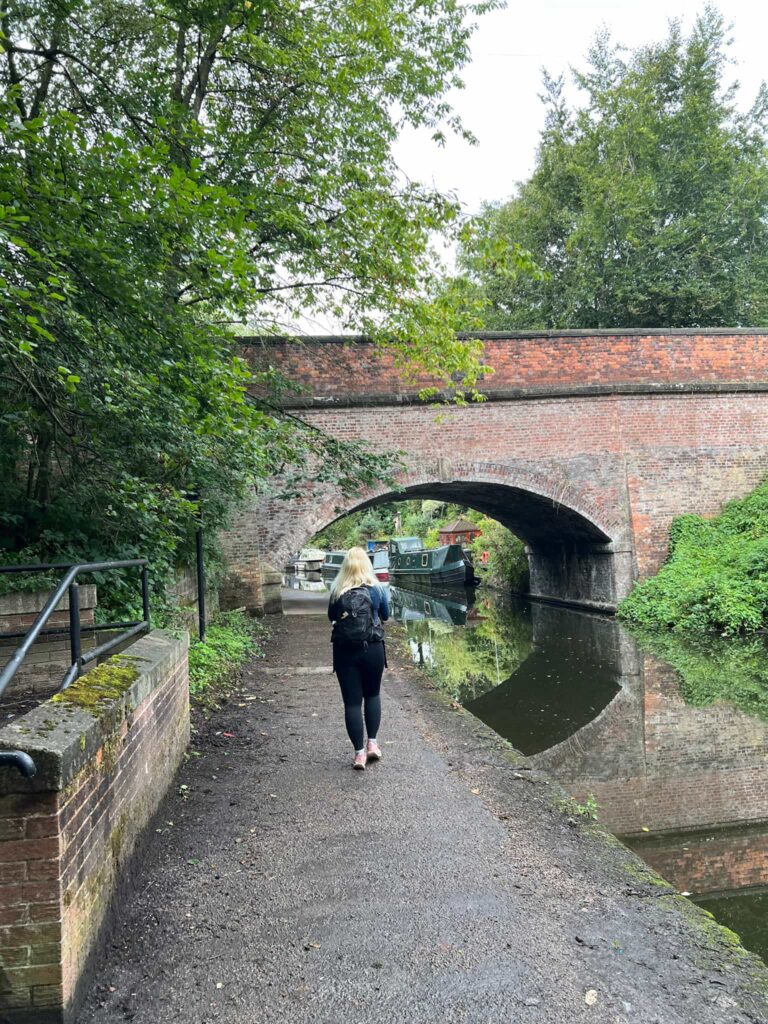
Roving Bridge
One of those quirky canal features – a roving bridge lets tow horses cross from one side of the canal to the other without untying the rope. It’s a fun little bit of engineering history right on the route.
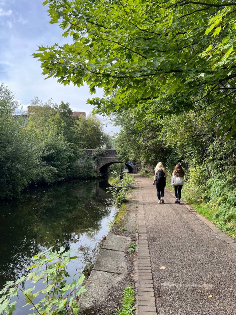
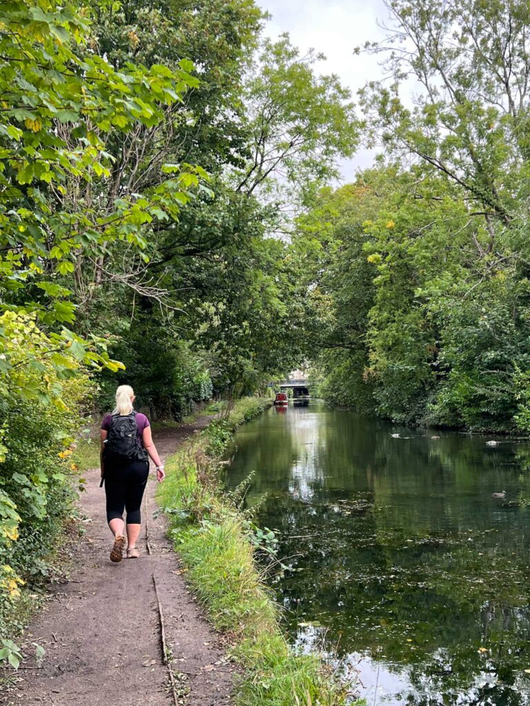
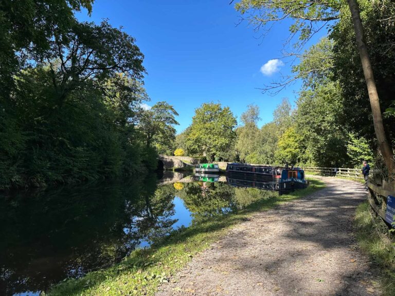
Easy Canal Walks
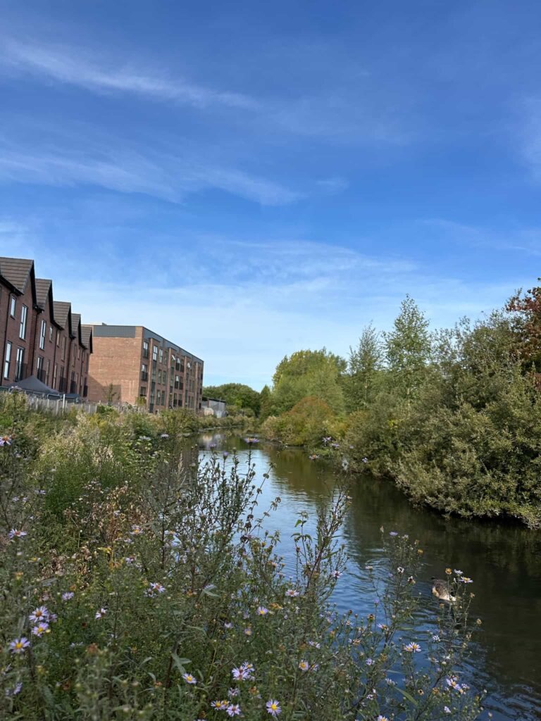
Most of this section follows flat canal towpaths along the Ashton Canal, making for a relaxed finish to the trail. It’s an easy stroll into Manchester, with narrowboats, waterside wildlife and the city gradually rising up around you.
You can find the whole trail details here: Steel Cotton Rail Trail
Steel Cotton Rail Trail: Guide Bridge to Manchester
Walk Details: Guide Bridge to Manchester Leaflet

Walk Map (Opens in OS Maps): Steel Cotton Rail Trail: Guide Bridge to Manchester
Parking: Guide Bridge Station, Guide Lane Audenshaw M34 5BR W3W:///race.jukebox.played
Dogs: Allowed, but must be on a short lead during nesting season and around livestock.
Facilities: There is an accessible toilet at Guide Bridge station.
Walk Time: 2-3 hours
Difficulty: ▲
Distance: 6.2 miles (10km)
Elevation: -125ft (-38m)
Trig Points Bagged: None
Peak District Peaks Bagged: None
Peak District Ethels Bagged: None
Check out the main Steel Cotton Rail Trail page for all the stages.


Hey – the link to the GPX for the section is broken, and then the ‘Walk map’ link to OS opens the Grindleford/Hathersage section! I’ve got a gpx for the whole route but I was looking for individual sections as that would be handy. Just thought I’d let you know!
Hello! Thanks for letting me know! I’ve changed it now. The Get GPX file button works if you’re on mobile – I’m on iPhone and it downloads the file to my phone, then imports it into OS Maps or Komoot. You should be able to download the GPX file from the OS Maps though if you need it in a different program.