Gentle Edale Walk from Edale Train Station | 4.5 Miles
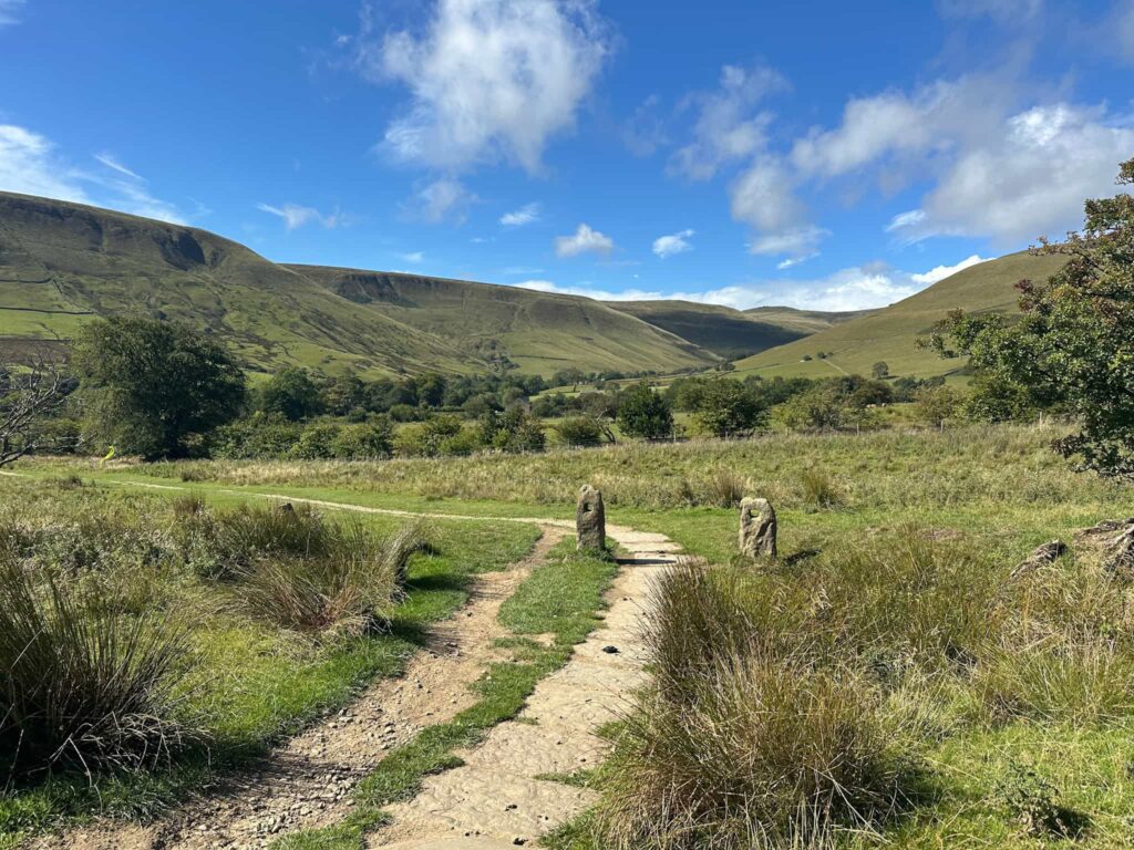
If you want a walk with stunning views without climbing the high hills, this Edale walk is for you! Edale in the Peak District is one of my favourite places to walk – sitting at the base of Kinder Scout it has views of Mam Tor, the Great Ridge and more. It’s also really easy to access via public transport, so this walk starts from Edale Train Station before exploring the footpaths at the base of the higher hills. Perfect when you need a gentle walk with amazing views!
Edale Train Station is on the Northern Line, so is easily accessible by train from Manchester or Sheffield.
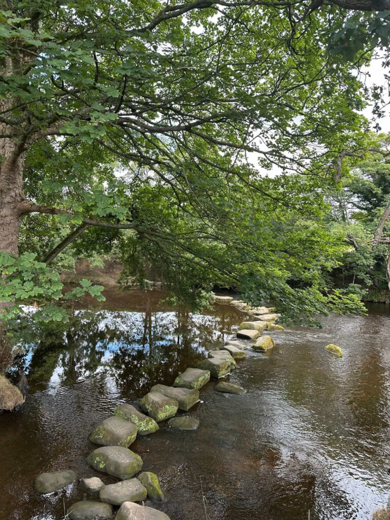
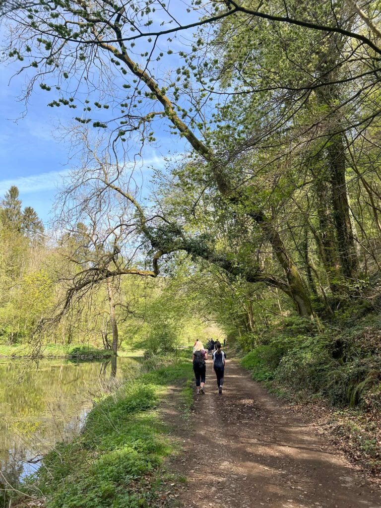
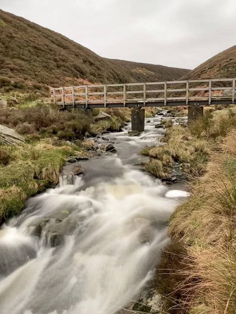
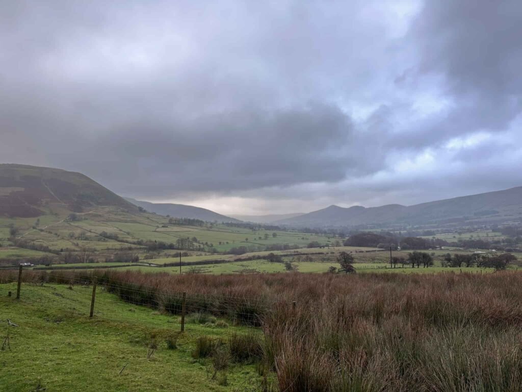
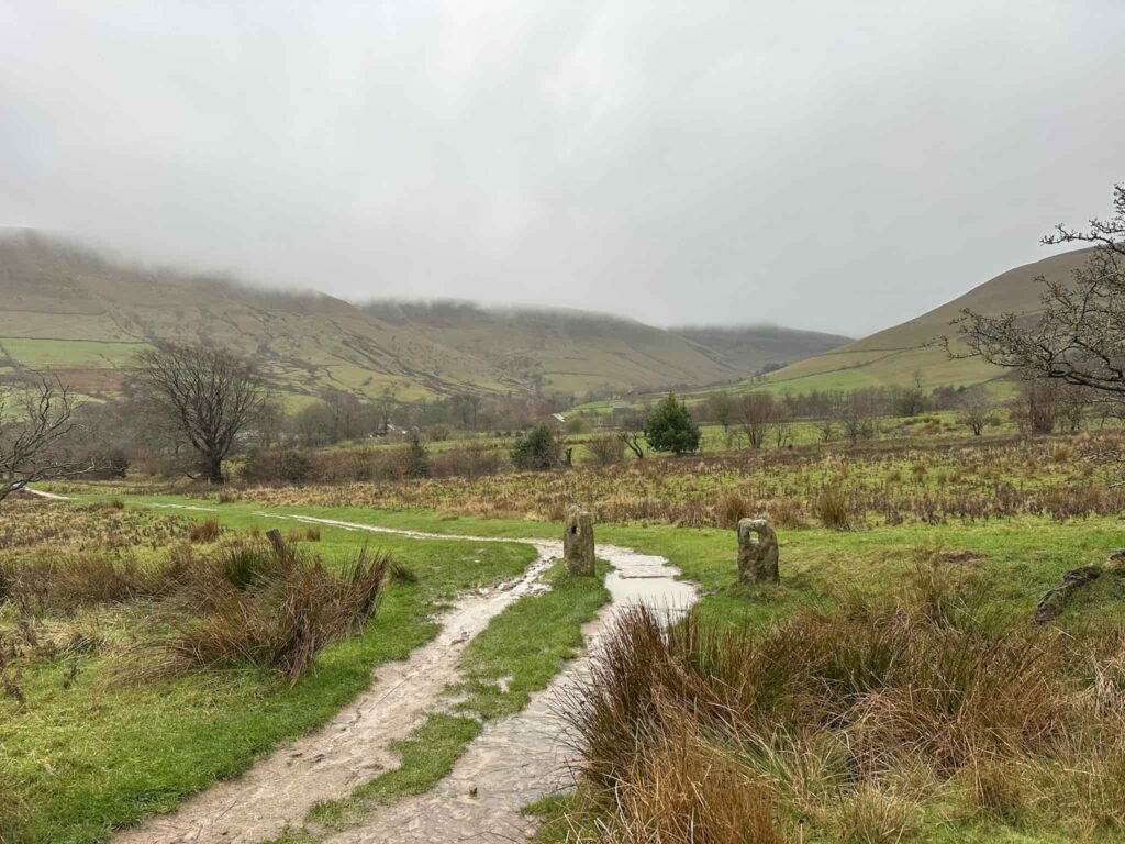
You might notice that the photos are a mixture of weathers – we did this walk in some of the wettest, most miserable conditions ever, and I want to encourage people to get out hiking, not put them off! On this day I learned not to trust the weather forecast when it says “light rain showers” and my waterproofs aren’t that great any more!
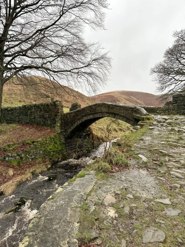
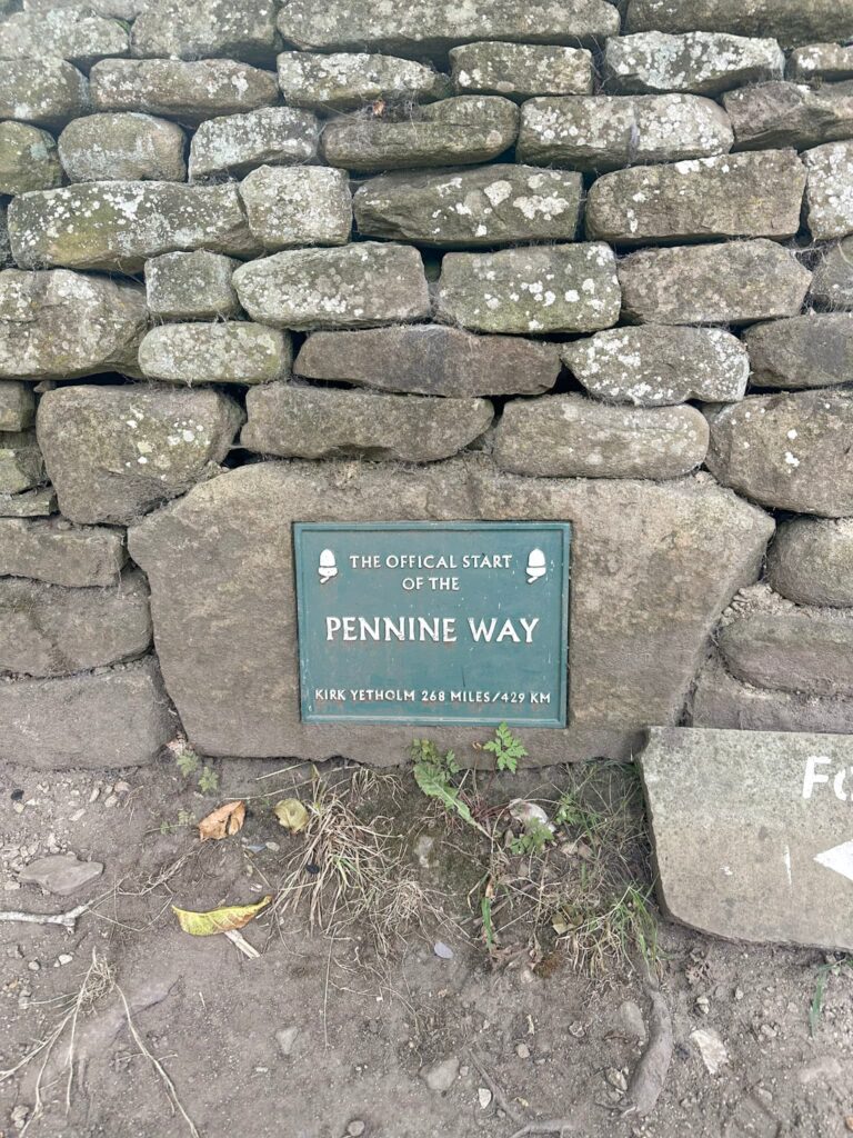
Our walk starts from Edale Train Station and heads up the road into Edale village centre, passing the church. We reached the start of the Pennine Way, across the road from the Old Nags Head Inn, and followed the path alongside the stream to a wooden gate.
Passing through the gate, we headed left on the stone slabs of the Pennine Way to Upper Booth Farm. We turned left through the farmyard (you can get an ice cream or coffee from one of the old farm buildings here) and at the red phone box, carried straight forward down a wooded path.
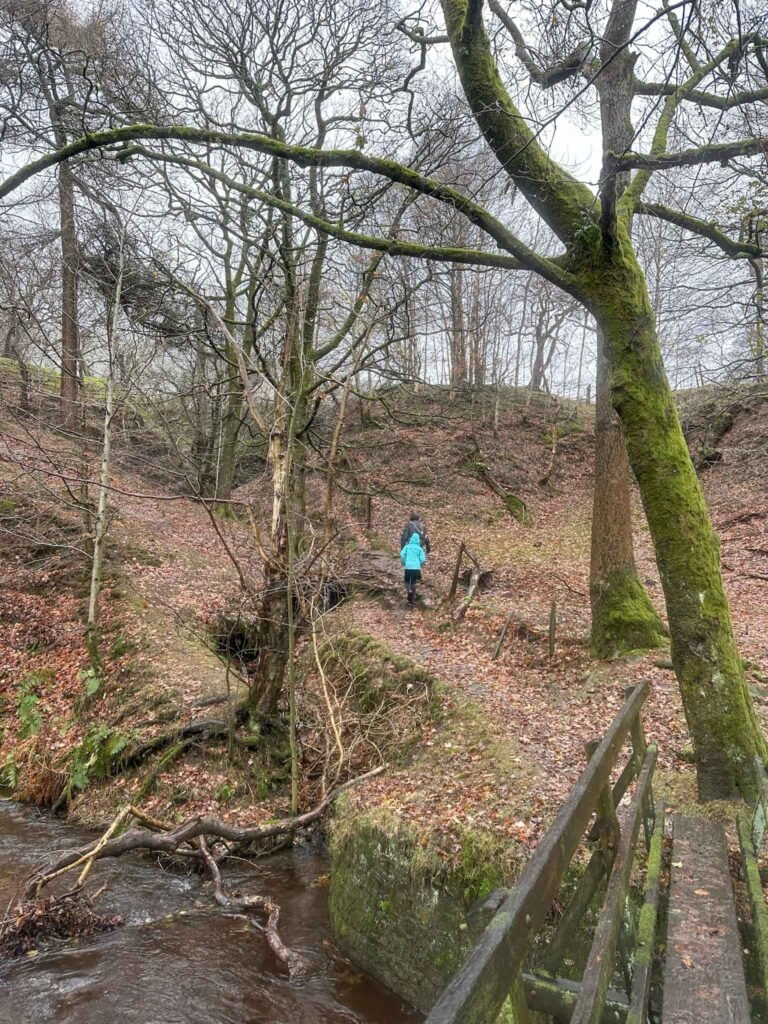
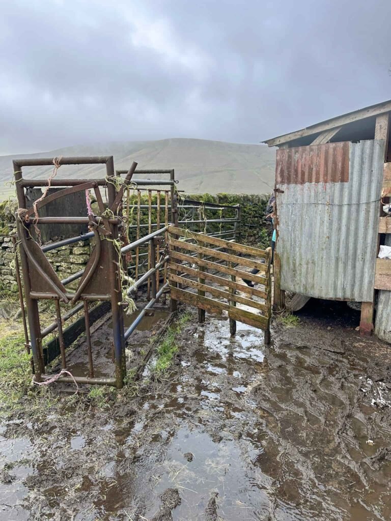
Crossing a wooden bridge over the River Noe we climbed up the hillside to a stile, hopped over and crossed the field to a farm which has some buildings that have seen better days. We climbed another stile and followed the fence line to the right, to where there is a Peak and Northern Footpaths Society green sign, and crossed to where there is another PNFS sign. The route continues across the field and passes between an outbuilding and a cattle crush (there’s a wooden gate).
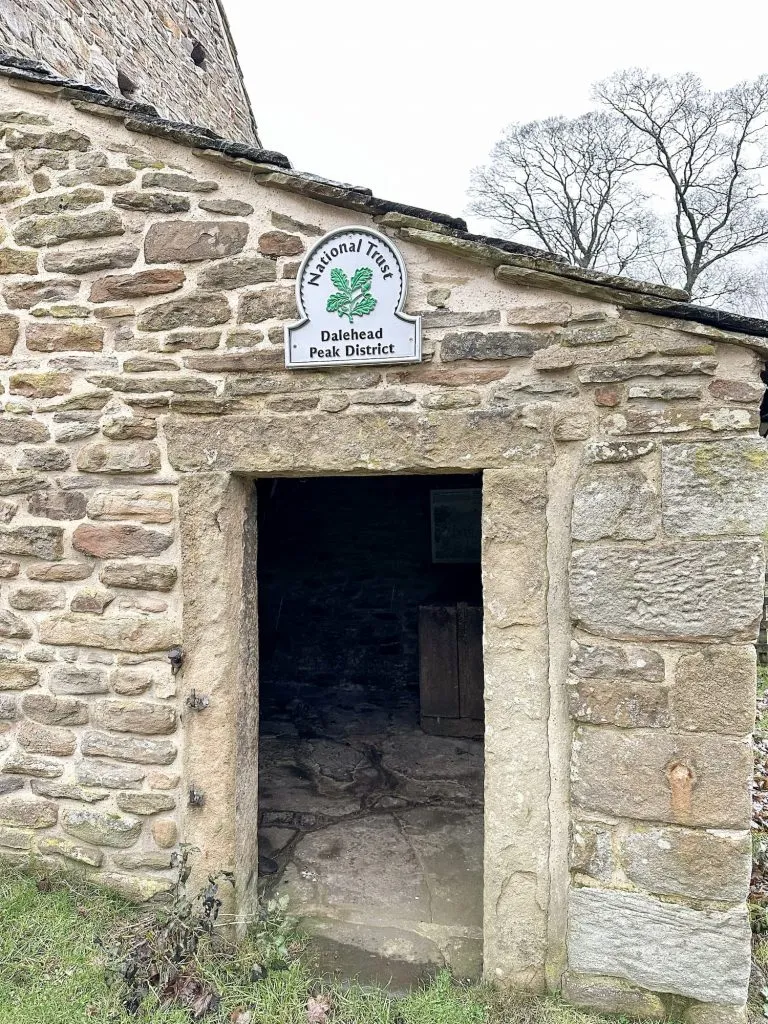
There’s another PNFS sign and a stile, and the route then follows a footpath over more fields to a cottage hidden away in a dip, and then over another field to Dale Head Barn. We followed the track to the left, heading back out onto the track running alongside the railway line. It turns sharp left and joins the road leading to Barber Booth car park, passing under the railway arches and onto Edale Road.
Turning left onto Edale Road, we took the left fork between the houses and followed the track over the railway line. The trail then runs over the fields back to Edale train station, and the end of the walk. There are some good pubs in Edale – The Old Nags Head in the centre of Edale is my favourite, but The Rambler is near the train station. There is also the Penny Pot Cafe right at the train station.
Edale Walk Details:
Walk Map (Opens in OS Maps): Edale Train Station Walk
Parking: Edale Car Park, Water Meadows, Hope Rd, Edale, Hope Valley S33 7ZQ W3W:///loudly.consoled.copper. Pay and display – cards and cash. There is an overflow car park which sometimes operates near the railway station, and Edale station itself has 20 parking spaces.
Dogs: Dogs on leads near livestock – the route uses public footpaths but does cross a lot of farmland.
Facilities: There are toilets in the car park.
Walk Time: 2-3 hours
Difficulty: ▲▲
Distance: 4.6 miles (7.4km)
Elevation: 700ft (213m)
Trig Points Bagged: None
Peak District Peaks Bagged: None
Peak District Ethels Bagged: None
You might like 13 Spectacular Walks From Edale.