• 3 Mile Walks or Less
  • 4 Mile Walks
  • 5 Mile Walks
  • 6 Mile Walks
  • 7 Mile Walks
  • 8 Mile Walks
  • 9 Mile Walks
  • 10 Mile Walks
  • 11 Mile Walks
  • 12 Mile Walks
  • 14 Mile Walks
  • 15 Mile Walks
  • 20+ Mile Walks

The Wandering Wildflower

Peak District Hikes

  • PEAK DISTRICT WALKS
    • SHORT WALKS UNDER 3 MILES
    • MEDIUM WALKS 4-9 MILES
    • LONG PEAK DISTRICT WALKS 10 MILES +
  • PEAK DISTRICT WALKS WITH PUBS
  • PEAK DISTRICT WALKS WITH KIDS
  • HOLMFIRTH WALKS

How to Find Three Shires Head

May 28, 2025 CIRCULAR WALKS, MEDIUM WALKS 4-9 MILES, PEAK DISTRICT WALKS, PEAK DISTRICT WALKS WITH KIDS

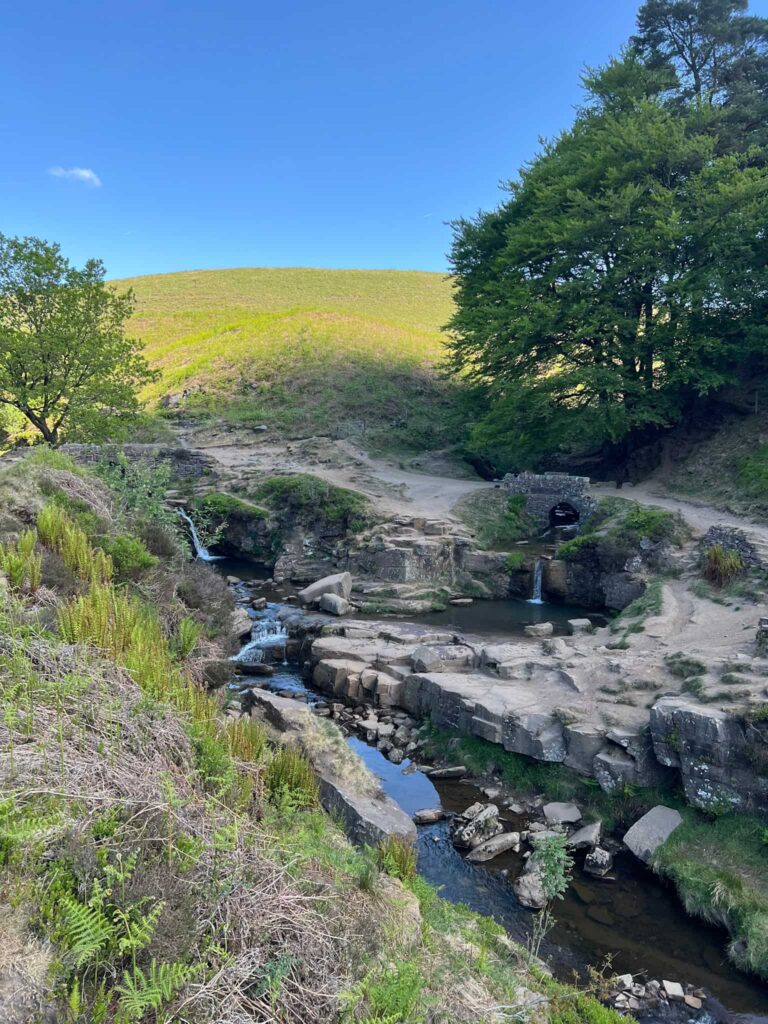
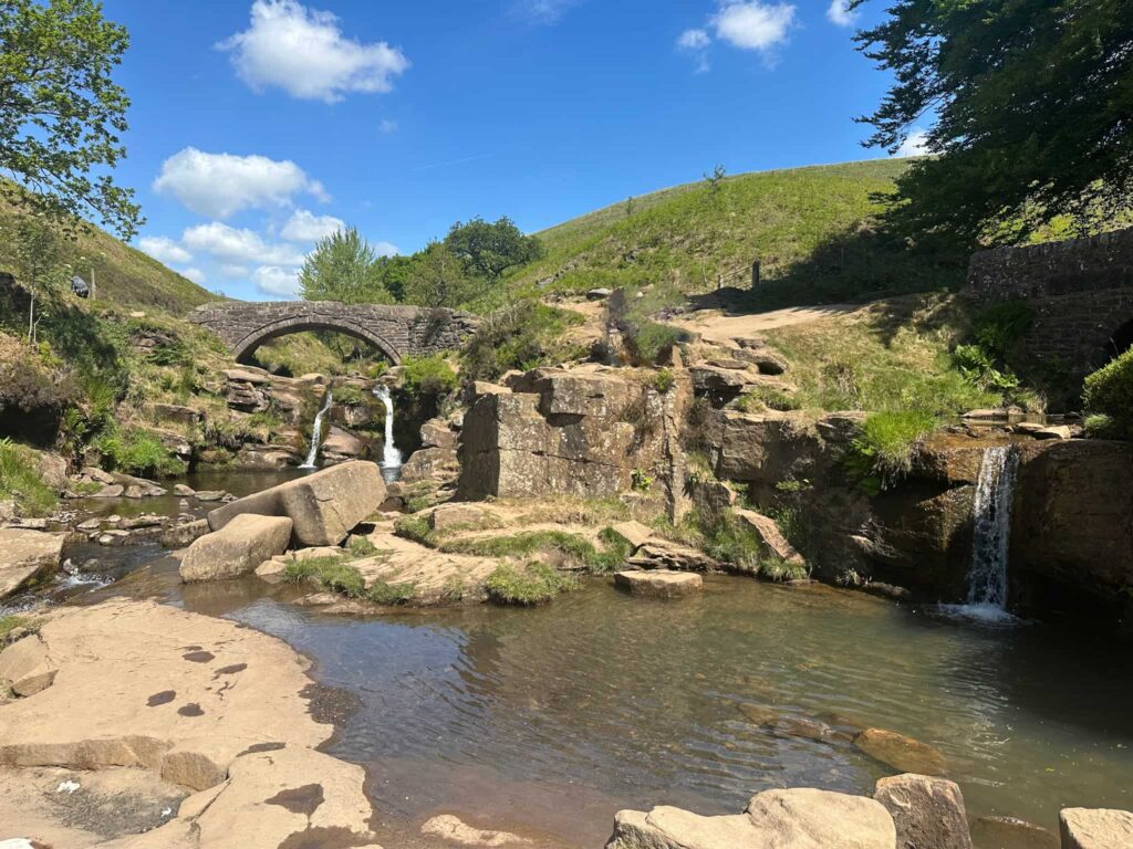
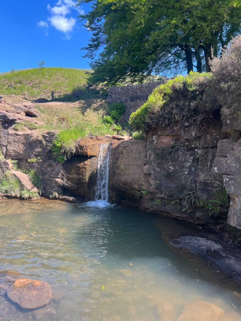
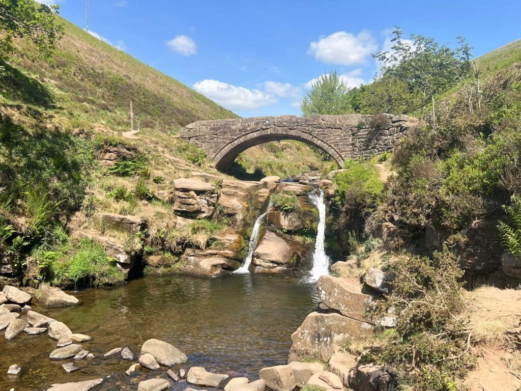
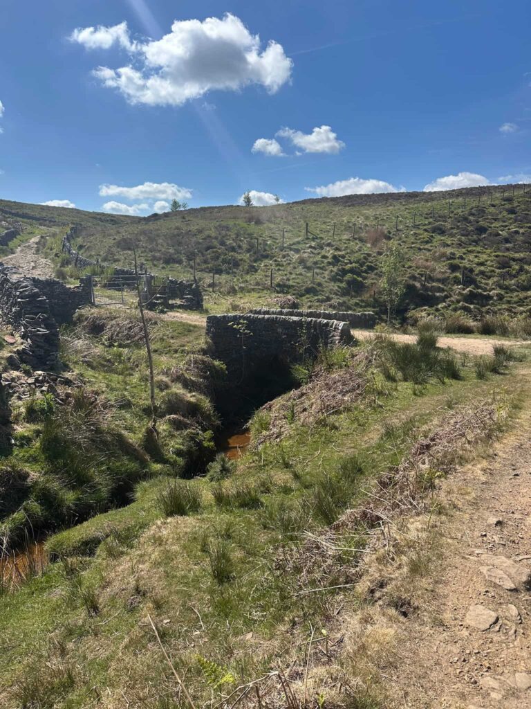
Three Shires Head is a Peak District gem and is the meeting point of three counties (Derbyshire, Cheshire and Staffordshire). The counties meet at the beautiful Pannier’s Pool, where the River Dane cascades under the ancient packhorse bridges. Historically, this boundary point made it a popular and symbolic place, with travellers and traders crossing from one county to another.

Three Shires Head

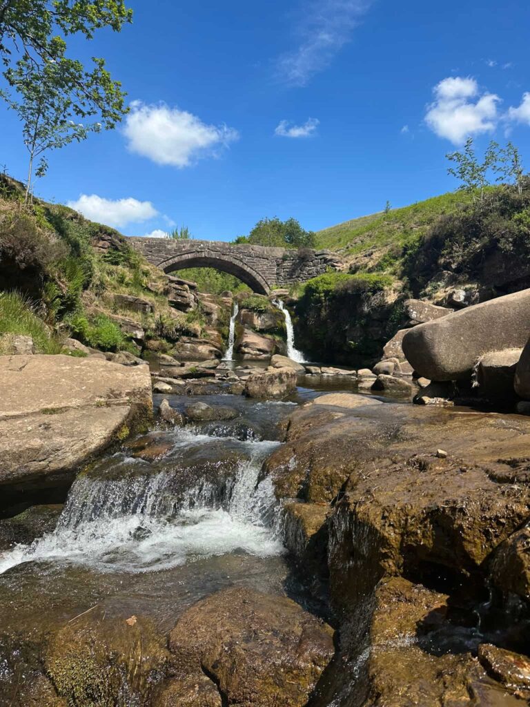
The iconic stone packhorse bridge at Three Shires Head dates back to the 18th Century (possibly earlier) and was built to allow packhorses to cross the River Dane. These horses were essential for transporting salt from the Cheshire salt mines, coal, and other goods across the region before modern roads existed.


Due to its remote location and its position at the junction of three counties, Three Shires Head was historically known as a hotspot for smugglers and fugitives. Criminals could exploit the boundary to evade capture, crossing into a new jurisdiction just by stepping over the river.


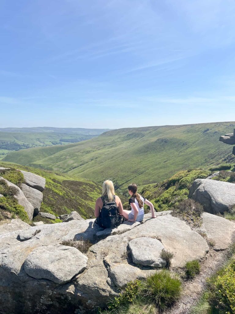
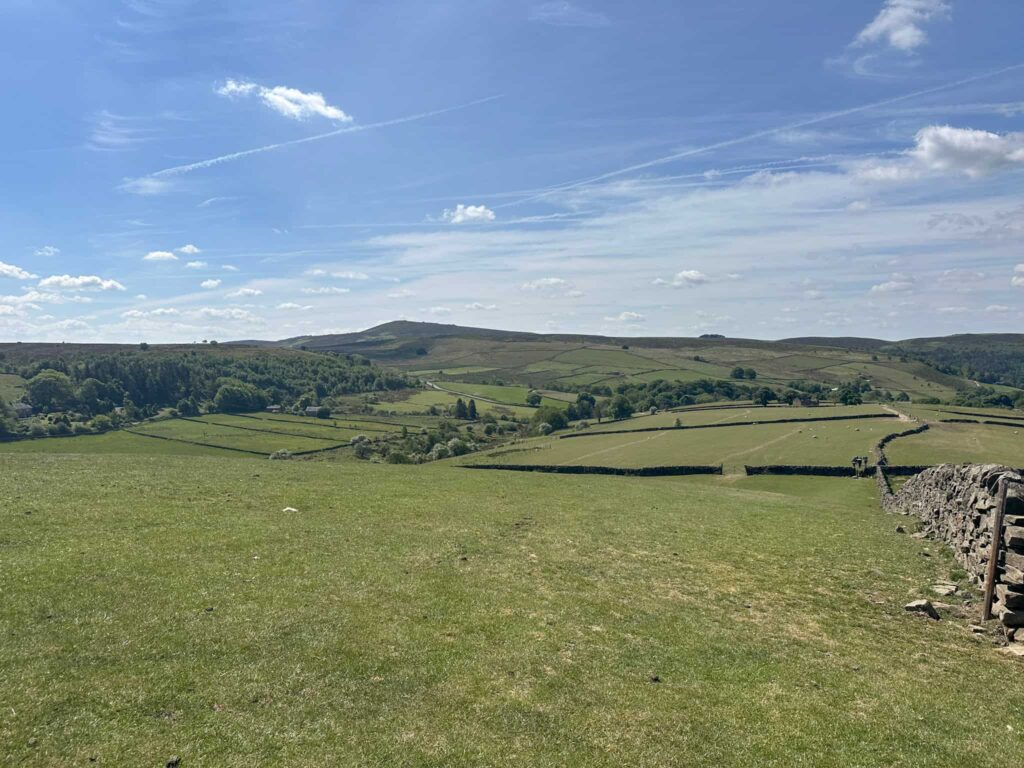
The surrounding landscape has changed little over centuries, preserving its moorland charm and giving visitors a sense of stepping back in time. These days Three Shires Head is a very popular spot with hikers, picnickers and swimmers, with Pannier Pools being very popular. If you want the place to yourself you’ll have to get there early!


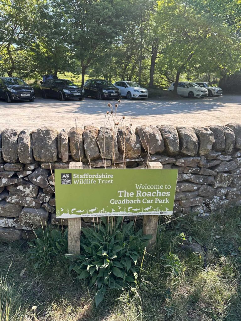
Where’s the Best Place to Park for Three Shires Head?

The Roaches, Gradbach Car Park, Gradbach, Buxton SK17 0SU W3W:///slab.simmer.blossom. This small car park is free to park. There is also overflow car parking in a nearby field for £5 all day.

The Roaches, Gradbach Car Park for Three Shires Head

Three Shires Head Walk

This walk is a 7 mile walk exploring Three Shires Head and the Dane Bower Quarries. If you wanted a short Three Shires Head walk you could just head there and not go to the quarries, as this route is circular and passes Three Shires Head twice. This option would make the route roughly 4 miles.


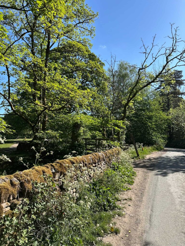
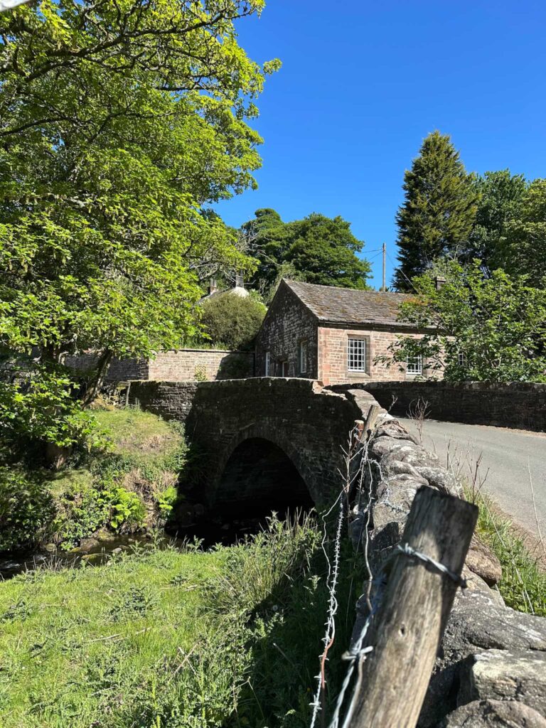
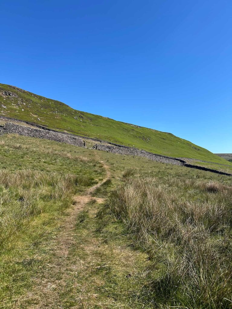
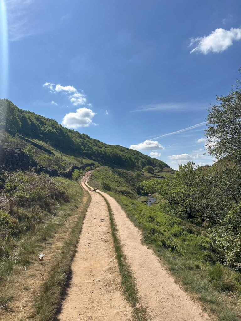
We started from the free car park in Gradbach and headed out onto the road, crossing the bridge over the River Dane. Across the road, next to the old chapel, is a footpath which leads up through some scrubland, eventually leading to a farm track passing Bennetsitch Farm (spelled differently on the OS Map!).

We crossed the wooden bridge and turned right, walking across the field.

Bridge over the River Dane. Just past the old chapel building there is a footpath sign. 

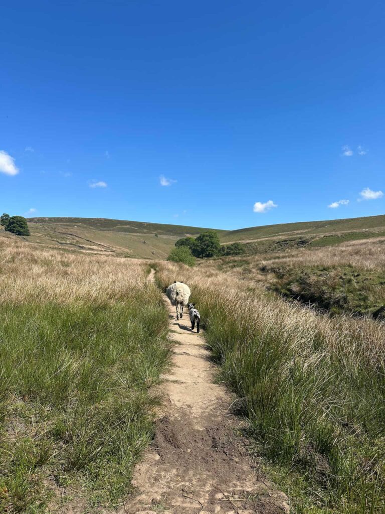
We followed this track, passing through the farmyard, and at the No Vehicles sign we continued forwards across the fields. The path eventually leads to Cut-thorn track which leads down to Three Shires Head.

Three Shires Head

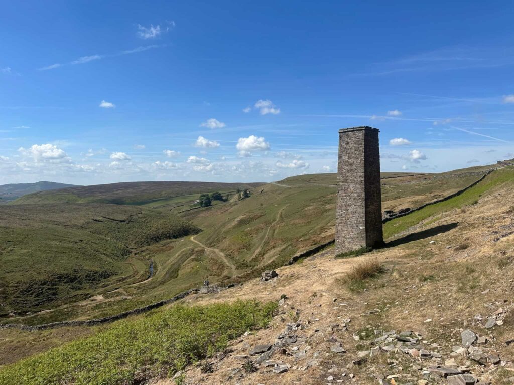
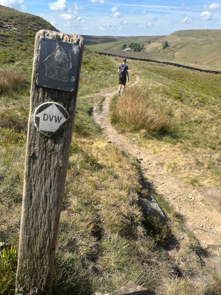
After having an explore of the site we set off north, with the River Dane on our right hand side. This path is part of the Dane Valley Way, and leads up past a ruined building and the Dane Bowers Colliery Chimney. This chimney used to be attached to a steam engine further down the valley, used for ventilating one of the mine shafts.

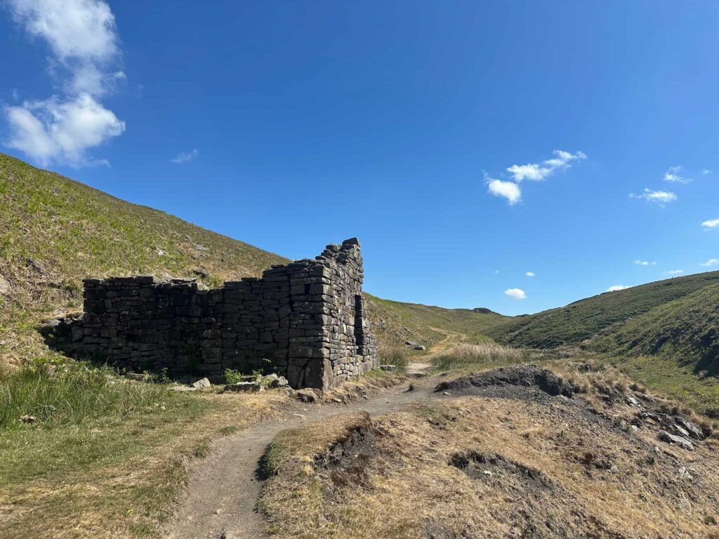
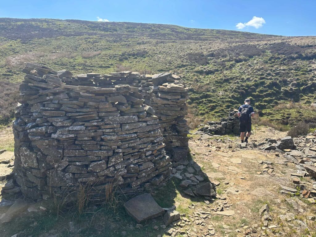
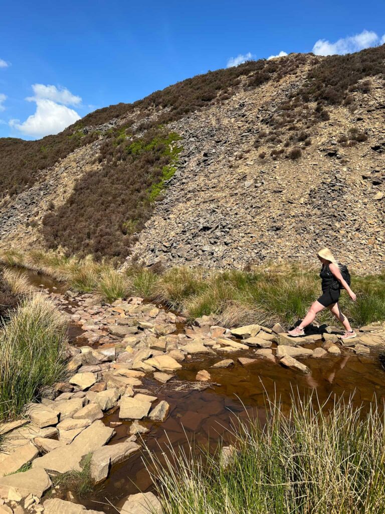
The path climbs steeply and then joins a track leading to the old quarries. Here there are a stone shelter and some stepping stones to cross the River Dane, and the route turns to head back down the valley, passing through Reeve Edge Quarries too.

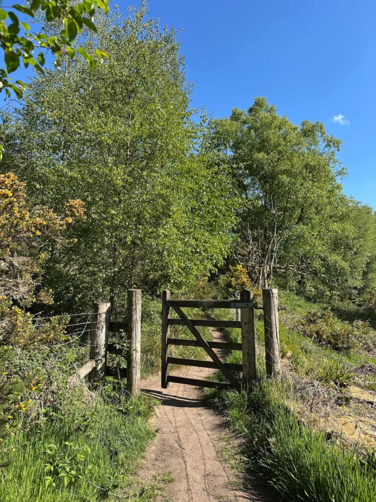
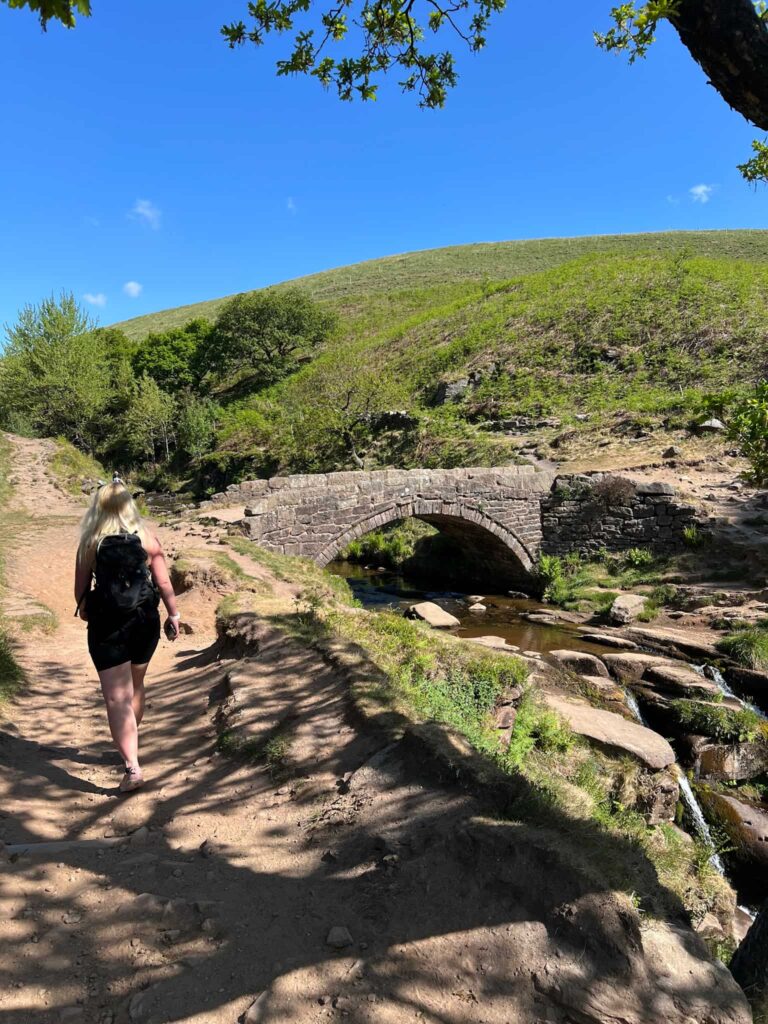
There’s a metal gate on the right hand side leading over the fields. The path starts out quite indistinct but quickly becomes more of a rough track, before eventually coming to a junction at a small stone bridge. We took the right hand fork and this track leads down to Three Shires Head again.

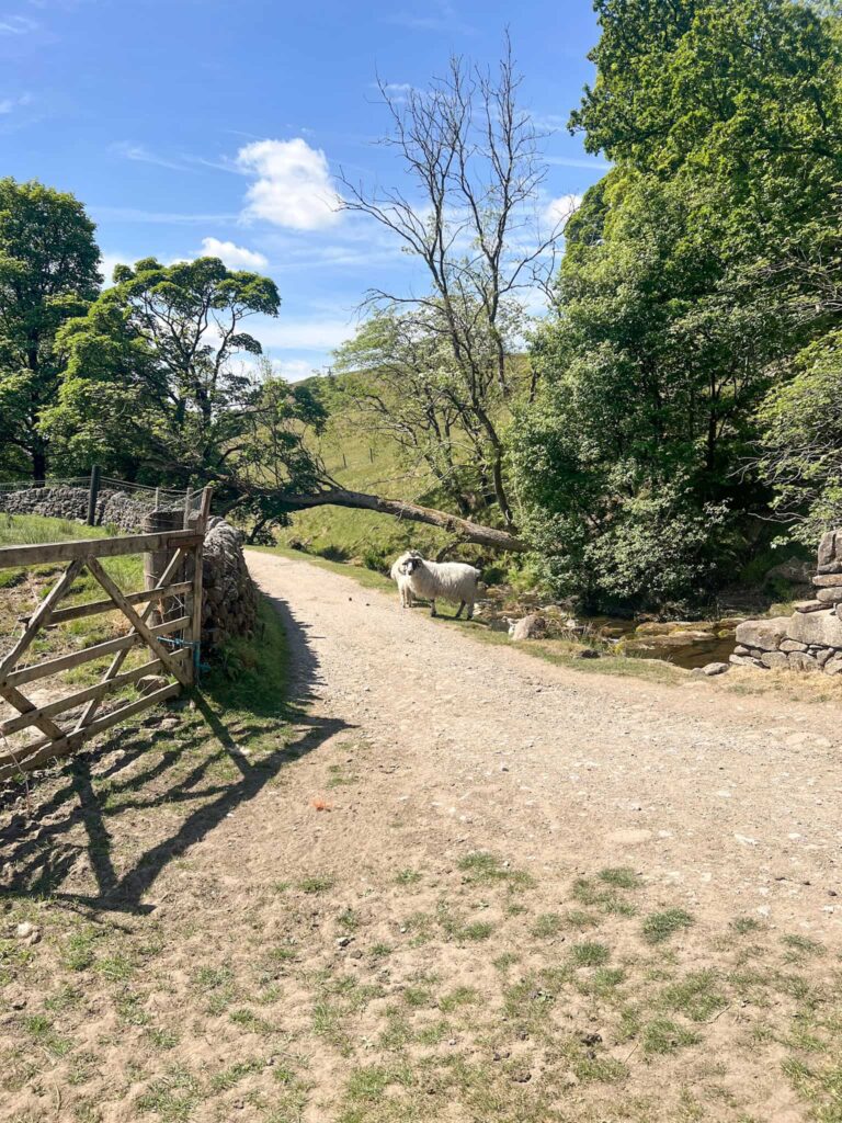
This time, with the River Dane on our right, we walked south on a path at a higher level than the river but heading down to a small bridge. We followed the path to the left (not crossing the bridge) and passing through Birchen Booth Farm. The path crosses a field and heads up some steps, then follows the line of the wall south.

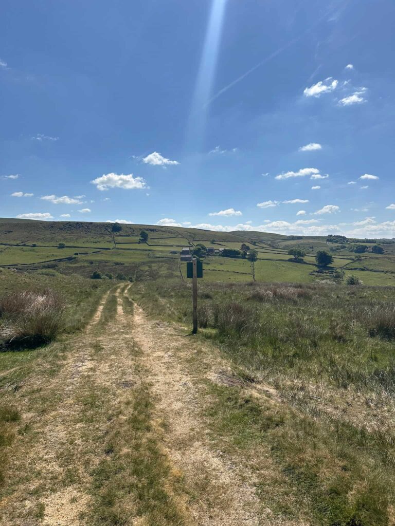
The route climbs gently in a south-east direction and joins a track leading to a Peak and Northern Footpaths green sign. At the sign we turned right and followed the path across the fields before emerging on the road. We turned right and followed the road a short distance, which brought us back to the stone bridge near the start of the walk, from where it’s a short distance across the field back to the car park.

The path follows the line of trees, before turning left and climbing up the hill gently.

The back of the Peak and Northern Footpaths green sign

We followed the line of the wall down through the fields.


Three Shires Head Walk Map


Walk Map (Opens in OS Maps): Three Shires Head Walk

Three Shires Head Parking: The Roaches, Gradbach Car Park, Gradbach, Buxton SK17 0SU W3W:///slab.simmer.blossom This is a free car park but is very small with only about 20 spaces, so get there early.

Facilities: Public toilets and cafe at Gradbach Mill a short walk away.

Walk Difficulty: ▲▲

Walk Time: 4-5 hours

Walk Distance: 8.66 miles (13.9km)

Trig Points Bagged: None

Peak District Peaks Bagged: None

Peak District Ethels Bagged: None


For a longer route which includes Three Shires Head, why not try Axe Edge Trig Point and Three Shires Head Walk | 10 Miles

Tap to share with your hiking friends!

  • Facebook
  • Email
  • WhatsApp
Peak District Pub Walks »

RELATED POSTS

  • Hathersage Stepping StonesHathersage Stepping Stones Walk | 7 Miles
  • Anvil Stone, GrindsbrookGrindsbrook Clough Scramble to Grindslow Knoll | 7 Miles
  • Lathkill Dale waterfallLathkill Dale Waterfall Walk | 7 Miles
  • Former Woodhead Station and Woodhead Tunnels on the Trans Pennine TrailCrowden to Woodhead Tunnel Walk | 6 Miles

Leave a Reply Cancel reply

Your email address will not be published. Required fields are marked *

FIND YOUR NEXT WALK:

ABOUT ME

Y Garn with Kids - Y Garn via the Devil's Kitchen Walk in Ogwen Valley

Hello! I’m Jo! Welcome to The Wandering Wildflower, an outdoors lifestyle blog focusing on family walks in the Peak District, a place we love exploring. I want to share the Peak District hidden gems and show you there’s so much more than the honeypot places. When I’m not dragging my husband and now 11 year old out on Peak District walks or up mountains, I can be found on planning my next moorland walk or plotting a Geocache walk (and seeing where the nearest pub is!). I love the hills but hate the heights, so trig bagging is – er- fun!


I hope this blog will give you some ideas of places to visit in the Peak District and inspire you and your family to head into the great outdoors.  Thanks for stopping by!

CATEGORIES

  • CIRCULAR WALKS (189)
  • HOLMFIRTH WALKS (27)
  • ISLE OF SKYE WALKS (3)
  • LAKE DISTRICT WALKS (26)
  • LANCASHIRE WALKS (2)
  • LONG PEAK DISTRICT WALKS 10 MILES + (42)
  • MEDIUM WALKS 4-9 MILES (137)
  • PEAK DISTRICT SCRAMBLES (16)
  • PEAK DISTRICT WALKS (206)
  • PEAK DISTRICT WALKS WITH KIDS (76)
  • PEAK DISTRICT WALKS WITH PUBS (60)
  • SCOTLAND WALKS (6)
  • SHORT WALKS UNDER 3 MILES (40)
  • SNOWDONIA WALKS (5)
  • UK CAMPING (5)
  • YORKSHIRE WALKS (33)

Peak District Walks

List of Peak District Ethels

Peak District Peak Bagging

Peak District Trig Point Challenge

Peak District Walks with Pubs

Peak District Walks with Kids

Beautiful Walks in Holmfirth

Short Walks in the Peak District

Long Walks in the Peak District

AFFILIATE DISCLOSURE

This blog may contain affiliate links through which, at no additional cost to you, I may earn a small commission. I only recommend products I would use myself and all opinions expressed here are my own. As an Amazon Associate I earn from qualifying purchases. Read full privacy policy here.

ARCHIVES

PEAK DISTRICT WEATHER

Peak District mountain weather on Met Office

Peak District Trig Points

Promo image for a blog post about the Peak District Trig Point Challenge With Map of Peak District Trig Points and Walking Routes by The Wandering Wildflower

Peak District Ethels Challenge

Promo image for a blog post about the Peak District Trig Point Challenge With Map of Peak District Ethels and Walking Routes by The Wandering Wildflower

WALKING ROUTES STRAIGHT TO YOUR INBOX

Want new walks in your inbox? Drop your email below and I'll send you some ideas for walks you can try.

You can unsubscribe anytime. For more details, review our Privacy Policy.

Thank you!

You have successfully joined our subscriber list.

RSS LATEST POSTS

  • How to Find Three Shires Head
  • Peak District Pub Walks
  • Burnbank Fell, Blake Fell and Gavel Fell | 8 Miles
  • Bretton Park Circular Walk | 3 Miles
  • Grasmere Weekend Break

FOLLOW ON PINTEREST

Want new walks in your inbox? Drop your email below and I'll send you some ideas for walks you can try.

You can unsubscribe anytime. For more details, review our Privacy Policy.

Thank you!

You have successfully joined our subscriber list.

jo@thewanderingwildflower.co.uk

The Wandering Wildflower

  • Email
  • Facebook
  • Instagram
  • Pinterest
  • PRIVACY POLICY
  • TERMS & CONDITIONS
  • ABOUT

(c) The Wandering Wildflower. All Rights Reserved.

|| THEME BY ECLAIR DESIGNS