• 3 Mile Walks or Less
  • 4 Mile Walks
  • 5 Mile Walks
  • 6 Mile Walks
  • 7 Mile Walks
  • 8 Mile Walks
  • 9 Mile Walks
  • 10 Mile Walks
  • 11 Mile Walks
  • 12 Mile Walks
  • 14 Mile Walks
  • 15 Mile Walks
  • 20+ Mile Walks

The Wandering Wildflower

Peak District Hikes

  • PEAK DISTRICT WALKS
    • SHORT WALKS UNDER 3 MILES
    • MEDIUM WALKS 4-9 MILES
    • LONG PEAK DISTRICT WALKS 10 MILES +
  • PEAK DISTRICT WALKS WITH PUBS
  • PEAK DISTRICT WALKS WITH KIDS
  • HOLMFIRTH WALKS

Lantern Pike Circular Walk | 11 Miles

November 8, 2021 CIRCULAR WALKS, MEDIUM WALKS 4-9 MILES, PEAK DISTRICT WALKS, PEAK DISTRICT WALKS WITH PUBS

This Lantern Pike circular walk takes in the fallen trig point at Lantern Pike, the peak at Cown Edge and the trig point at Harry Hut before heading over Burnt Hill back to The Lantern Pike pub. Why not try this circular hike in the Peak District next time you fancy a walk out (or to get multiple trig points in one day!).


Harry Hut trig point on the moors - The Wandering Wildflower

Harry Hut trig point


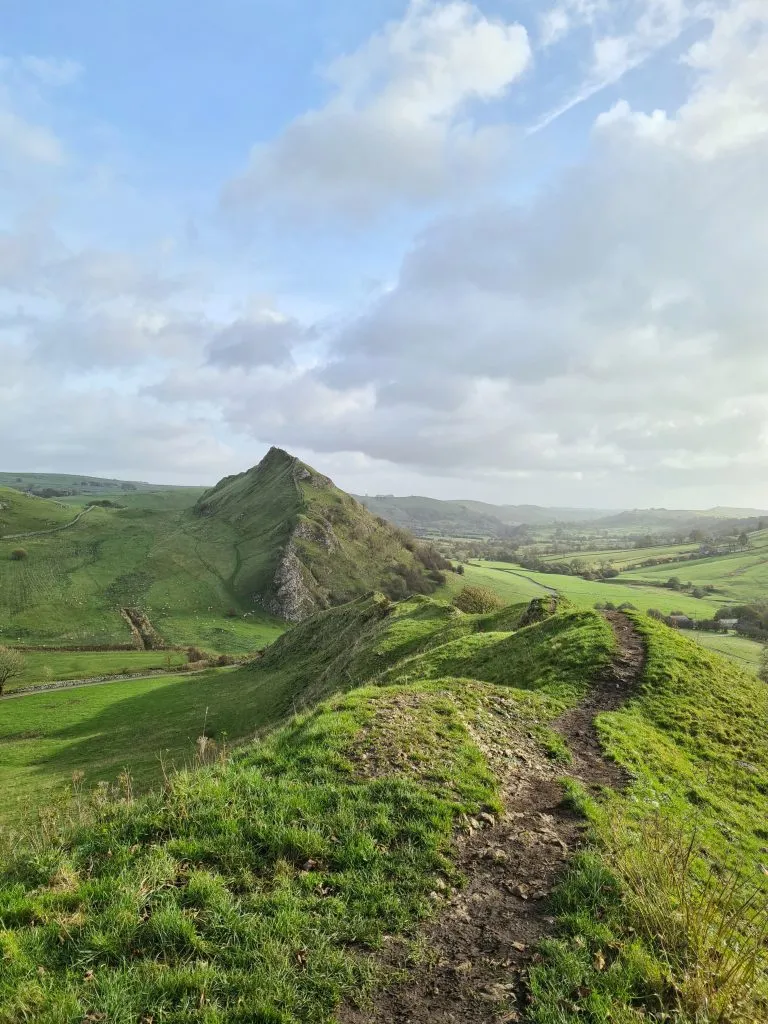
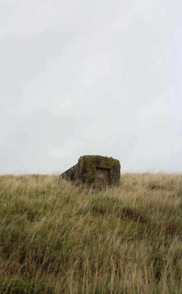
Lantern Pike is a mountain in the Peak District which is 373m above sea level. Part of this Lantern Pike circular walk uses the Pennine Bridleway. The Lantern Pike trig point isn’t actually on top of the hill – that’s a toposcope, but the actual trig point is lying down nearby in a field, poor thing!


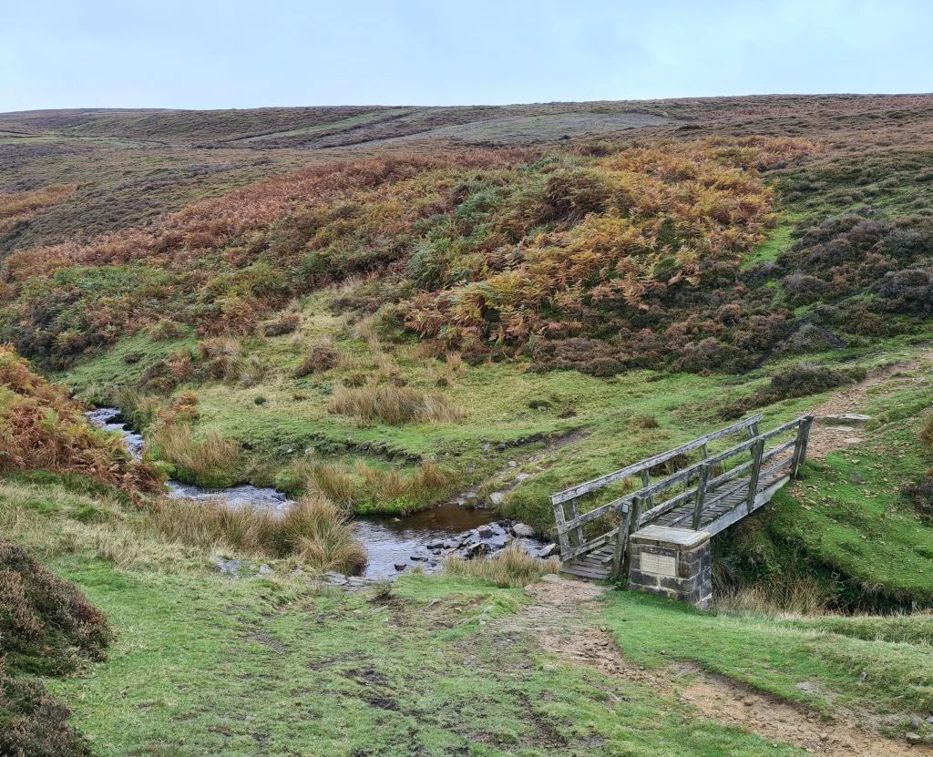
As we always try to go on Peak District walks with pubs, our walk starts in a lay-by opposite The Lantern Pike pub. We crossed the road and walked down Primrose Lane, with the red phone box on our left, down to the old mill now converted into flats. You’ll cross a pretty little bridge.

Red telephone box near the Lantern Pike Inn

Pretty bridge over a stream in woodland - The Wandering Wildflower


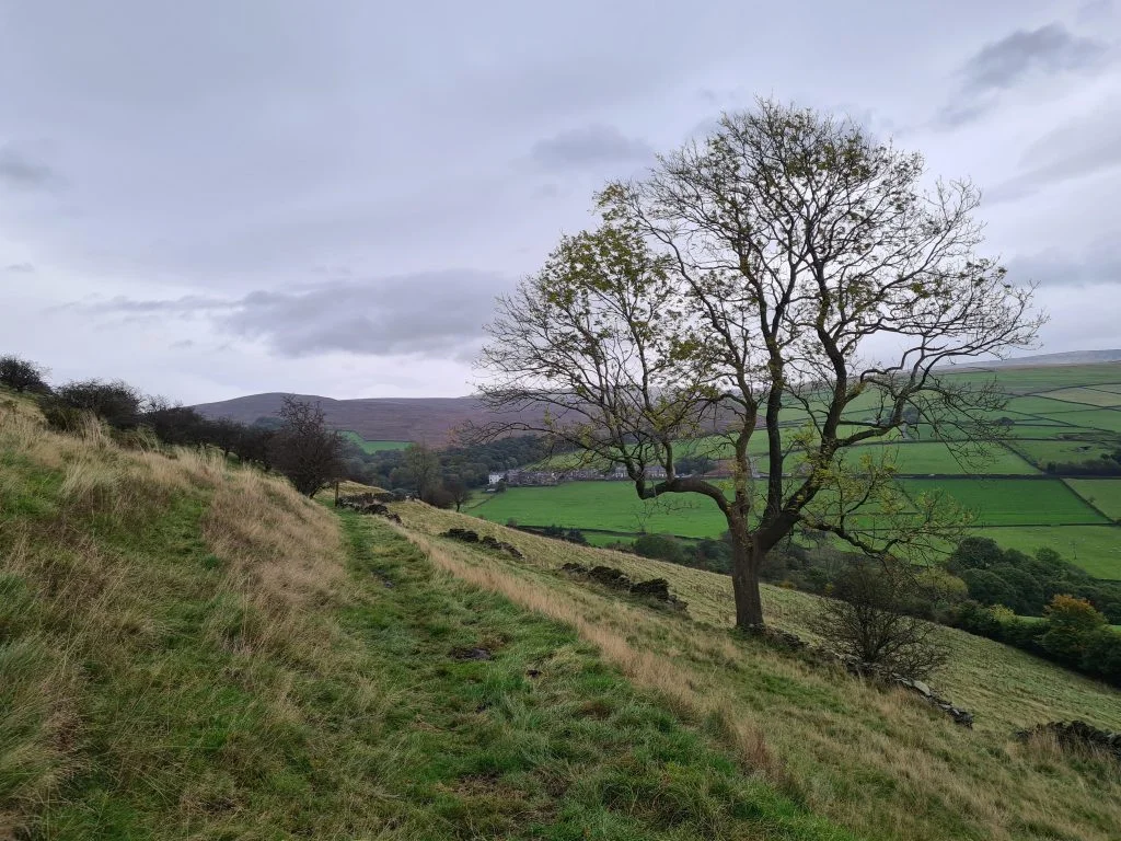
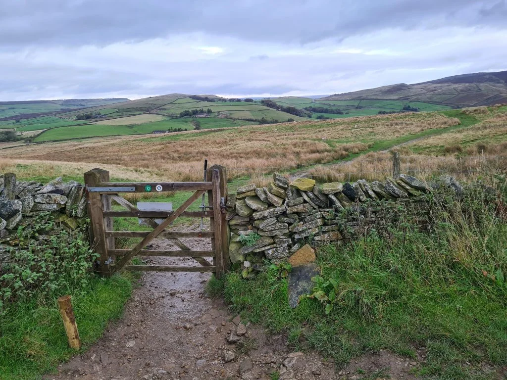
The footpaths are pretty easy going and climb gently until you get to the foot of Lantern Pike itself. You’ll go through a gate and then turn left to head up the hill. It’s a steep climb to the top of the hill, but it doesn’t take long once you get going.

Beautiful English countryside near Lantern Pike in autumn - The Wandering Wildflower

View back down the climb up to Lantern Pike - The Wandering Wildflower

View back down the climb up to Lantern Pike


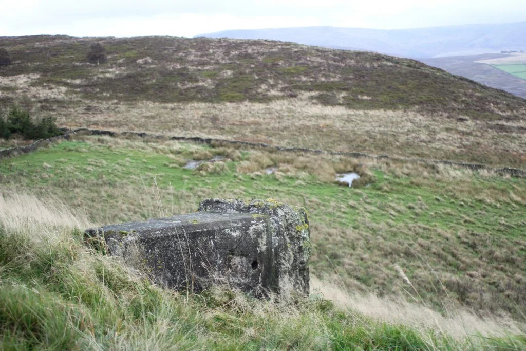
The Lantern Pike trig point isn’t at the summit of Lantern Pike itself. The poor thing is lying face down in a field on a nearby hillside – is it weird that I feel sorry for it?! If you are wondering how to find the Lantern Pike trig point, you’ll need to be heading up to the Lantern Pike summit and make a little detour into an adjacent field. Be aware that the trig itself is on Open Access Land but the field next door is privately owned so don’t go in there! The Lantern Pike trig point is located near the point shown as 358 on the OS Map and is in the field bounded by orange markings, not the other adjacent field. You’ll need to cross a broken down wall so be careful of any barbed wire there might be.
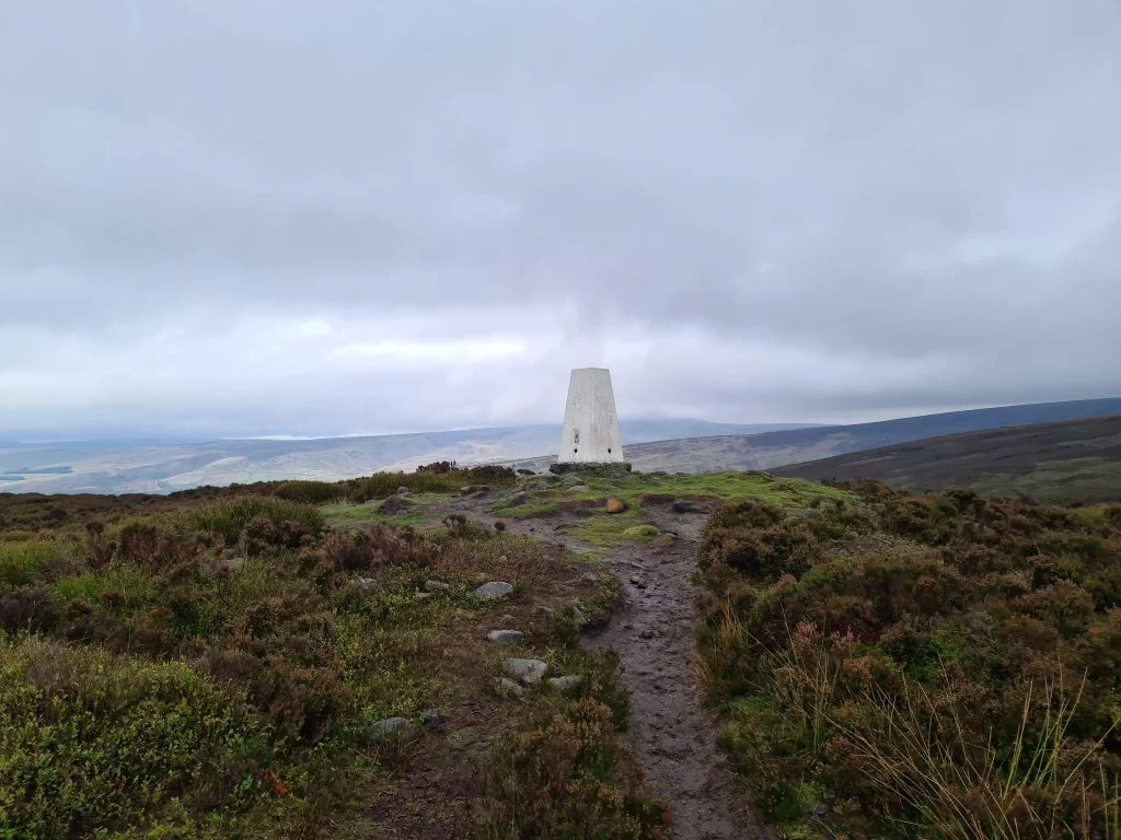
 

View of English countryside and the field containing Lantern Pike trig point - The Wandering Wildflower

Lantern Pike trig point is in the field on the left of this image. You can access the field by crossing the fallen down wall to the bottom of the image. The field on the right is private land.

The fallen Lantern Pike trig point - The Wandering Wildflower

The fallen Lantern Pike trig point

The fallen Lantern Pike trig point with a view over to Lantern Pike hill - The Wandering Wildflower

The fallen Lantern Pike trig point with a view over to Lantern Pike hill

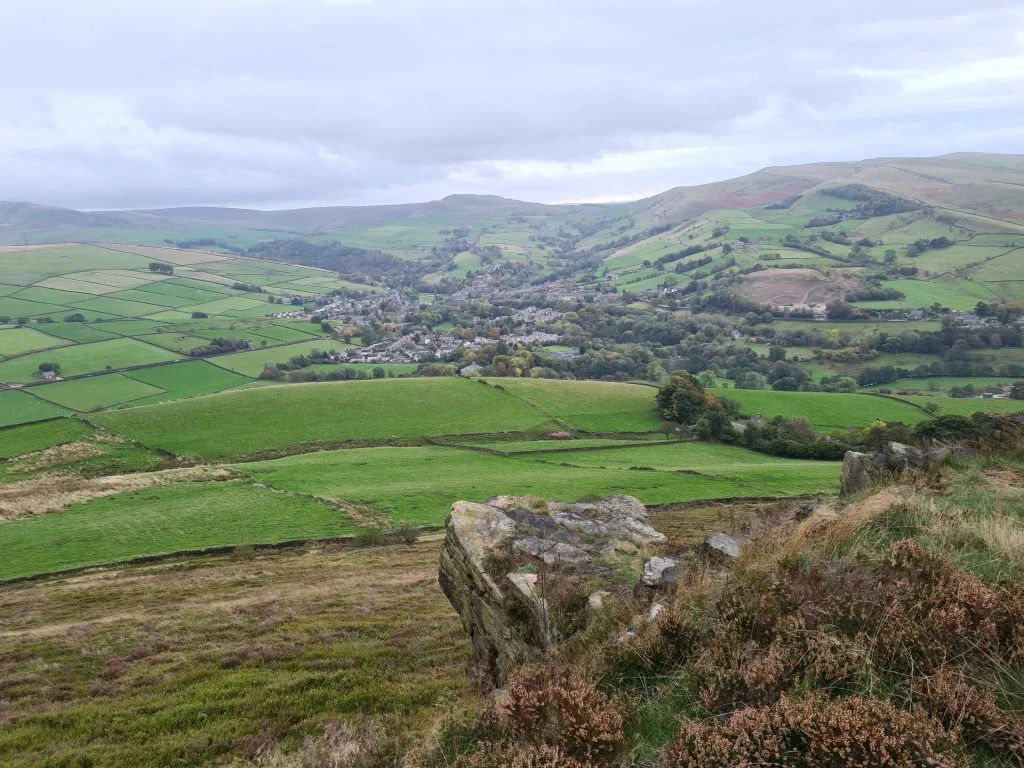
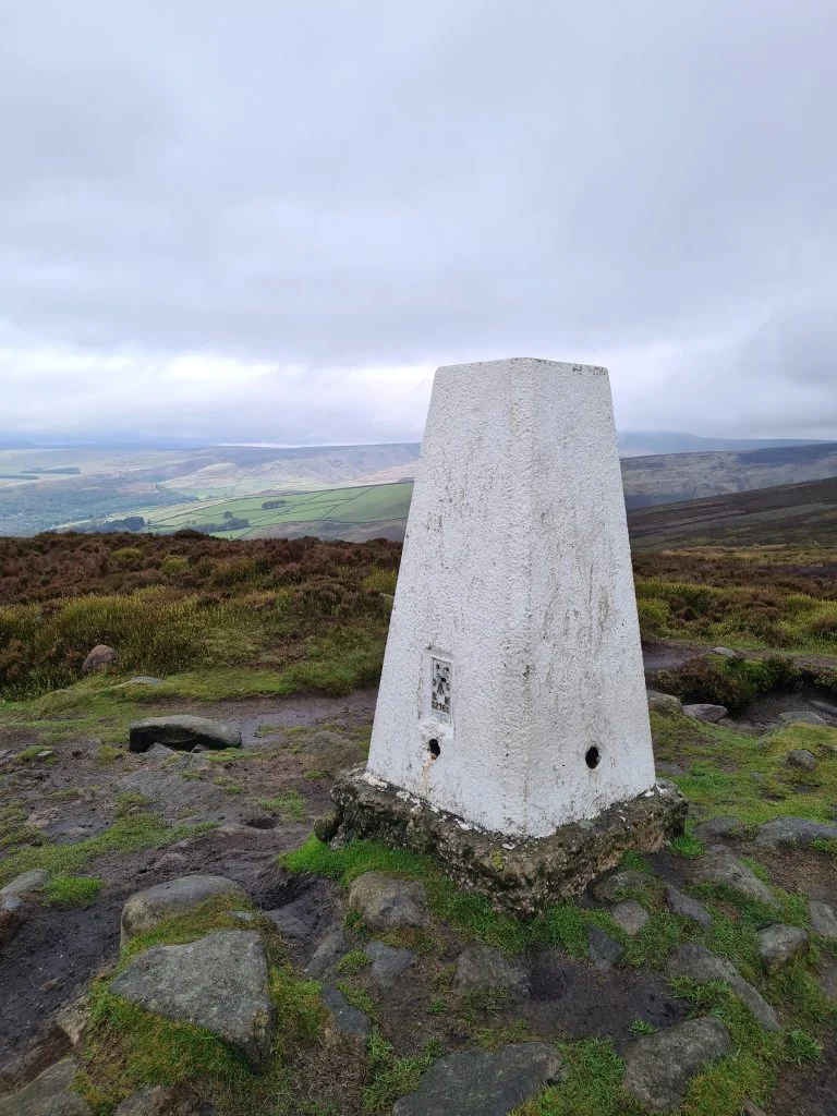
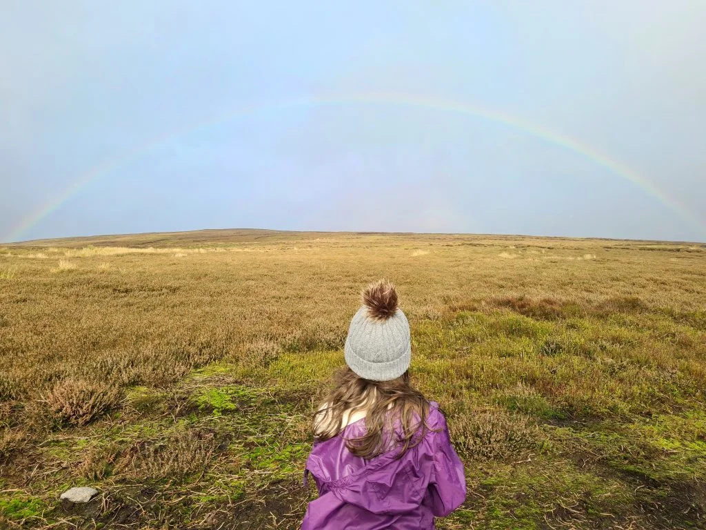
We then headed back to the Lantern Pike summit and admired the view. There is a summit marker which shows all the peaks you can see around you, which is great for working out where is where.

Lantern Pike summit marker - The Wandering Wildflower

The Lantern Pike summit marker


Views from the side of Lantern Pike - The Wandering Wildflower

Views from the side of Lantern Pike


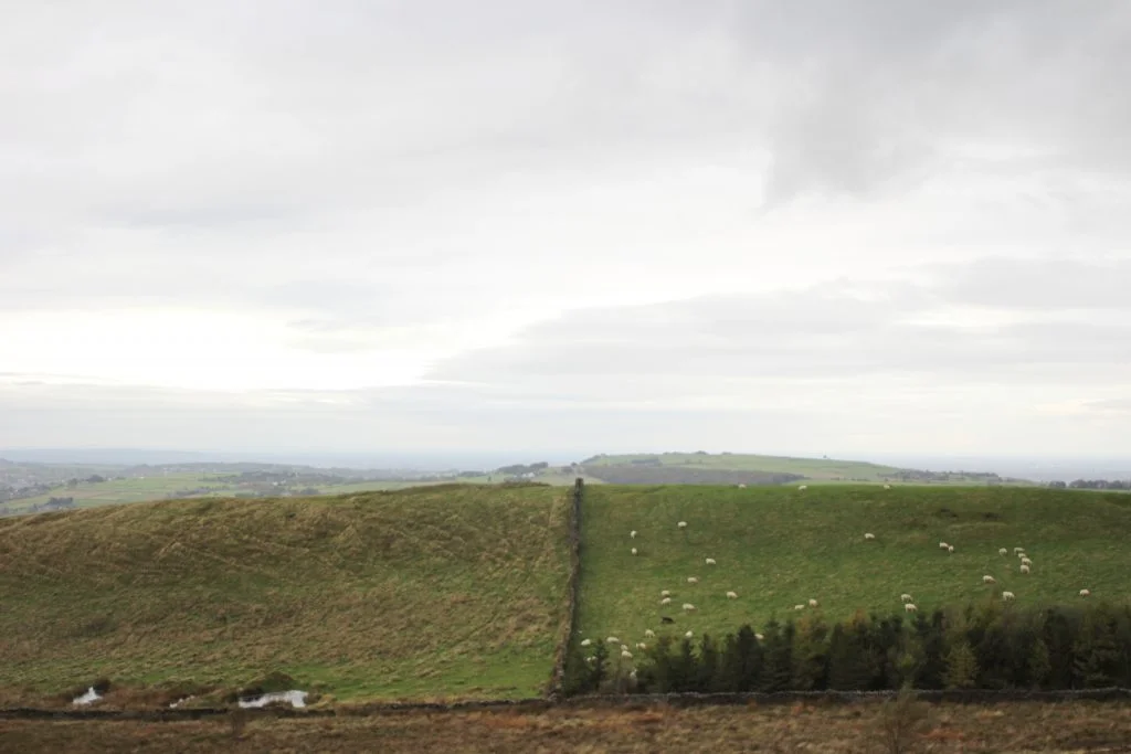
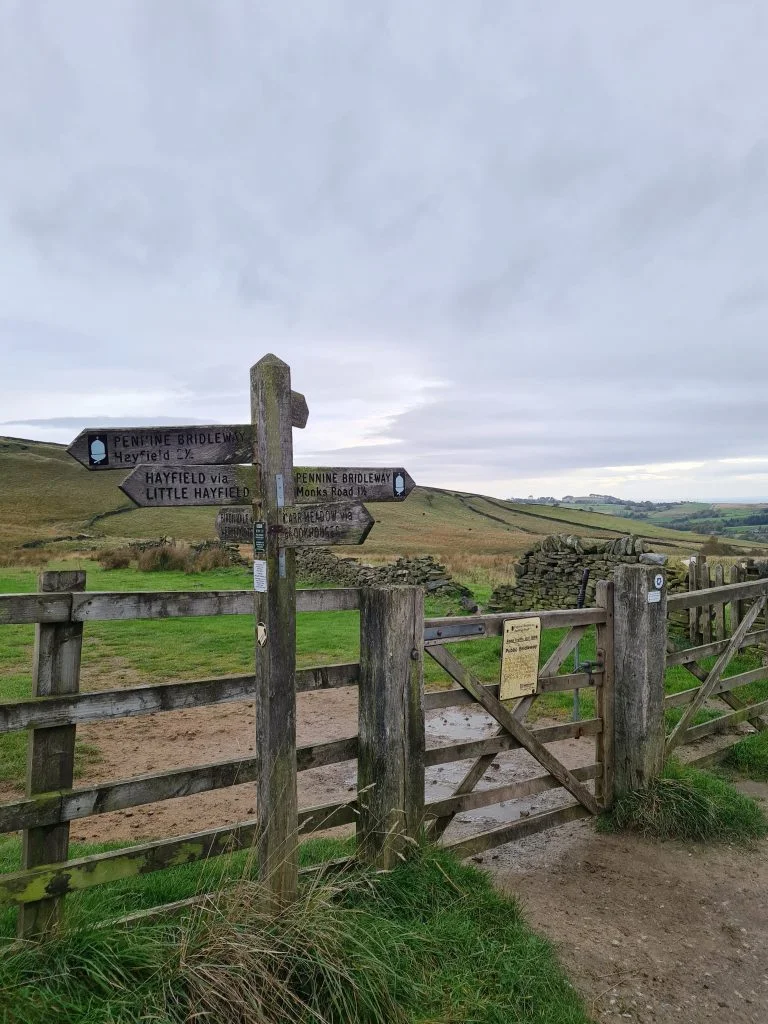
The walk then took us down the other side of the hill and along the bridleway until we reached the road. Here, Mr R decided we should head up to Cown Edge to bag another Peak District Peak for our Peak District Peak Bagging Challenge so we set off up Monks Road.


Bridleway at the base of Lantern Pike

Wooden gateway to farmland in Derbyshire

Wooden signpost and gate in Derbyshire countryside


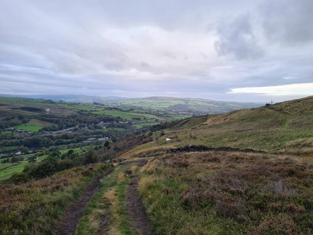
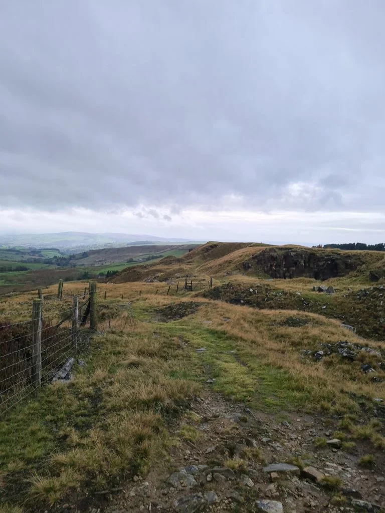
After a short sharp climb to the top of Cown Edge we wandered along the top and explored the old quarry there before walking back down to Monks Road.


Quarry at Cown Edge, Peak District Walks - The Wandering Wildflower

Rock face at the quarry at Cown Edge - Peak District Walks from The Wandering Wildflower


At the junction of Monks Road and Glossop Road there is the baseplate of an old trig point which is long gone now (Hollingworth Head). Hols wasn’t that impressed!


Base plate for Hollingworth Head trig point - The Wandering Wildflower


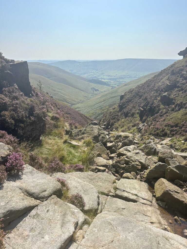
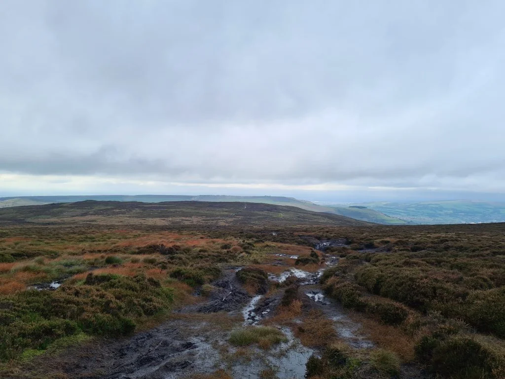
After walking up Glossop Road, past the old Grouse Inn, the public footpath takes you across Chunal Moor to Harry Hut trig point. Who Harry Hut is or was, or why he had a hut on the moors, is anyone’s guess, but the trig point offers amazing views across the moors so is well worth a visit. As it’s moorland, it can get very wet and boggy so wear appropriate clothing and footwear. Be sure you can navigate as well in case of bad weather rolling in – the weather can change quickly!


Path to Harry Hut trig point over Chunal Moor - The Wandering Wildflower

Harry Hut trig point - The Wandering Wildflower - Circular walks in the Peak District

Harry Hut trig point


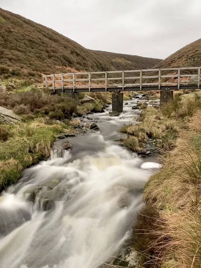
We set off over the moors until the path joined a paved path and followed this over the moors to Burnt Hill. Passing this summit the path leads you back to the main Glossop Road. You can either follow this back to the pub or, as we did, follow a path which will take you over Hollingworth Clough and Middle Moor.


Moorland views from Harry Hut trig point

Boggy peat moorland

Paved path to Burnt Hill - The Wandering Wildflower

Wooden bridge over Hollingworth Clough - The Wandering Wildflower

Wooden bridge over Hollingworth Clough


Autumnal Hollingworth Clough - The Wandering Wildflower

Views over Middle Moor - The Wandering Wildflower

We were caught in a rainstorm and the sky looked amazing!

Small girl wearing a bobble hat looking at a rainbow - The Wandering Wildflower

Amazing rainbow over the moors


We arrived back at the pub after walking 18km which is a new PB for Hols (who’s 9) and very ready for some late lunch. I had a cottage pie and Mr R had the Sunday lunch and we can definitely recommend both. They also have a kids menu which is a plus for Hols.


We’d driven past Lantern Pike so many times on our way to other Peak District peaks and it was lovely to walk this Lantern Pike circular walk. You could make the route shorter, by only walking Lantern Pike, or not going up Cown Hill, but this walk took us over beautiful countryside and gorgeous moorland so is definitely worth doing. Follow the blog for more Peak District walks with pubs.

Here’s the map for this Lantern Pike circular route – click to download the gpx file:


Difficulty: ▲▲

Parking: Glossop Road lay-by opposite the Lantern Pike pub.

Facilities: None en-route but the Lantern Pike pub is available.

Trig Points bagged: Lantern Pike and Harry Hut

Peak District Peaks bagged: Lantern Pike and Cown Edge

Peak District Ethels bagged: Lantern Pike and Cown Edge

Tap to share with your hiking friends!

  • Facebook
  • Email
  • WhatsApp
« Mount Famine, South Head and Chinley Churn Walk | 6 Miles
Crowden to White Low and Hey Edge | 5.5 Miles »

RELATED POSTS

  • Hathersage Stepping StonesHathersage Stepping Stones Walk | 7 Miles
  • Ladybower ReservoirLadybower Walk | 6 Miles
  • Anvil Stone, GrindsbrookGrindsbrook Clough Scramble to Grindslow Knoll | 7 Miles
  • Tintwistle Seven Falls Walk - The Wandering WildflowerTintwistle Seven Falls and Plane Crash Sites | 7 Miles

Leave a Reply Cancel reply

Your email address will not be published. Required fields are marked *

FIND YOUR NEXT WALK:

ABOUT ME

Y Garn with Kids - Y Garn via the Devil's Kitchen Walk in Ogwen Valley

Hello! I’m Jo! Welcome to The Wandering Wildflower, an outdoors lifestyle blog focusing on family walks in the Peak District, a place we love exploring. I want to share the Peak District hidden gems and show you there’s so much more than the honeypot places. When I’m not dragging my husband and now 11 year old out on Peak District walks or up mountains, I can be found on planning my next moorland walk or plotting a Geocache walk (and seeing where the nearest pub is!). I love the hills but hate the heights, so trig bagging is – er- fun!


I hope this blog will give you some ideas of places to visit in the Peak District and inspire you and your family to head into the great outdoors.  Thanks for stopping by!

CATEGORIES

  • CIRCULAR WALKS (189)
  • HOLMFIRTH WALKS (27)
  • ISLE OF SKYE WALKS (3)
  • LAKE DISTRICT WALKS (26)
  • LANCASHIRE WALKS (2)
  • LONG PEAK DISTRICT WALKS 10 MILES + (42)
  • MEDIUM WALKS 4-9 MILES (137)
  • PEAK DISTRICT SCRAMBLES (16)
  • PEAK DISTRICT WALKS (206)
  • PEAK DISTRICT WALKS WITH KIDS (76)
  • PEAK DISTRICT WALKS WITH PUBS (60)
  • SCOTLAND WALKS (6)
  • SHORT WALKS UNDER 3 MILES (40)
  • SNOWDONIA WALKS (5)
  • UK CAMPING (5)
  • YORKSHIRE WALKS (33)

Peak District Walks

List of Peak District Ethels

Peak District Peak Bagging

Peak District Trig Point Challenge

Peak District Walks with Pubs

Peak District Walks with Kids

Beautiful Walks in Holmfirth

Short Walks in the Peak District

Long Walks in the Peak District

AFFILIATE DISCLOSURE

This blog may contain affiliate links through which, at no additional cost to you, I may earn a small commission. I only recommend products I would use myself and all opinions expressed here are my own. As an Amazon Associate I earn from qualifying purchases. Read full privacy policy here.

ARCHIVES

PEAK DISTRICT WEATHER

Peak District mountain weather on Met Office

Peak District Trig Points

Promo image for a blog post about the Peak District Trig Point Challenge With Map of Peak District Trig Points and Walking Routes by The Wandering Wildflower

Peak District Ethels Challenge

Promo image for a blog post about the Peak District Trig Point Challenge With Map of Peak District Ethels and Walking Routes by The Wandering Wildflower

WALKING ROUTES STRAIGHT TO YOUR INBOX

Want new walks in your inbox? Drop your email below and I'll send you some ideas for walks you can try.

You can unsubscribe anytime. For more details, review our Privacy Policy.

Thank you!

You have successfully joined our subscriber list.

RSS LATEST POSTS

  • How to Find Three Shires Head
  • Peak District Pub Walks
  • Burnbank Fell, Blake Fell and Gavel Fell | 8 Miles
  • Bretton Park Circular Walk | 3 Miles
  • Grasmere Weekend Break

FOLLOW ON PINTEREST

Want new walks in your inbox? Drop your email below and I'll send you some ideas for walks you can try.

You can unsubscribe anytime. For more details, review our Privacy Policy.

Thank you!

You have successfully joined our subscriber list.

jo@thewanderingwildflower.co.uk

The Wandering Wildflower

  • Email
  • Facebook
  • Instagram
  • Pinterest
  • PRIVACY POLICY
  • TERMS & CONDITIONS
  • ABOUT

(c) The Wandering Wildflower. All Rights Reserved.

|| THEME BY ECLAIR DESIGNS