Holme Valley Circular Walk | 24 Miles
The Holme Valley Circular walk is a challenging walk at 24 miles with 1300m of ascent, taking in the countryside surrounding the Holme Valley. This walk from Honley heads up to Castle Hill, then Thurstonland, Hepworth, Netherthong and back to Honley, passing Digley Reservoir and the ruins of Hades along the way. If you like long day hikes, you’ll like this one!
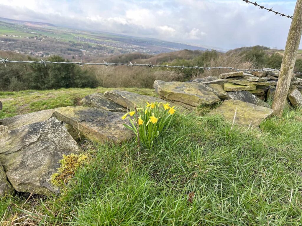
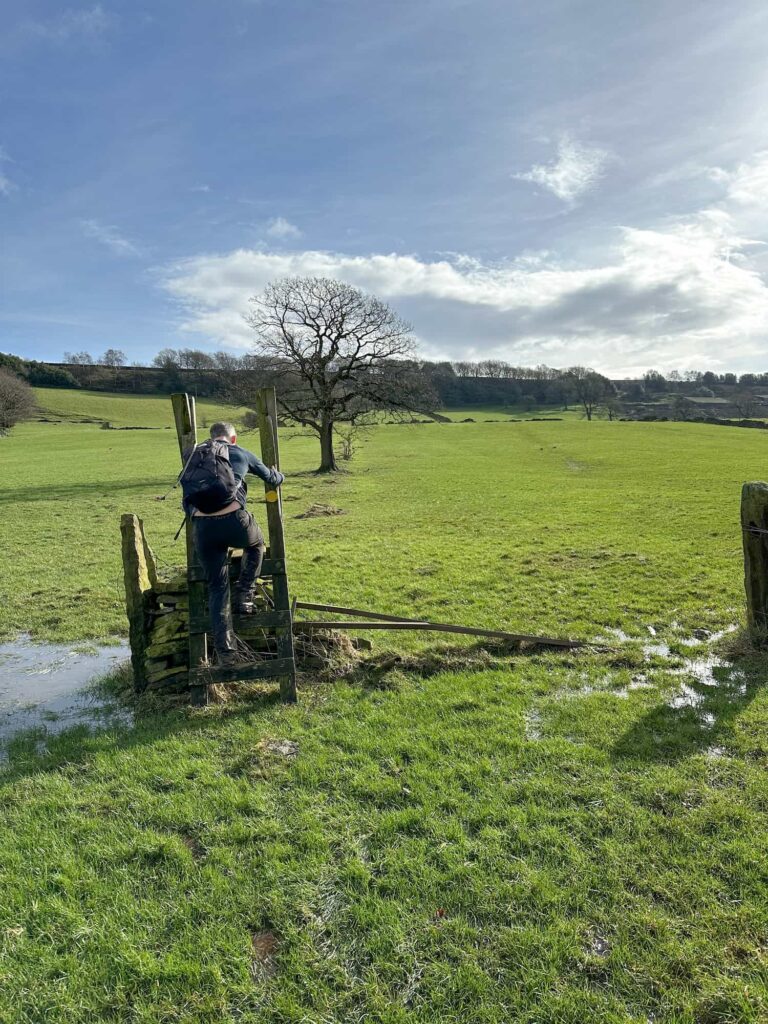
We foolishly picked a day after there had been heavy rain which meant a lot of the fields were waterlogged – this made the going really tough! If you are planning to tackle the Holme Valley Circular walk I’d recommend waiting for a dry period! I only saw one signpost for this walk in the whole 24 miles, so make sure your navigation is good as it’s easy to go wrong.
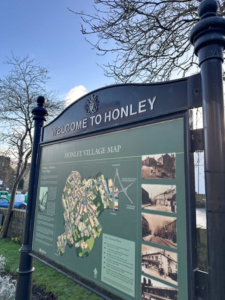
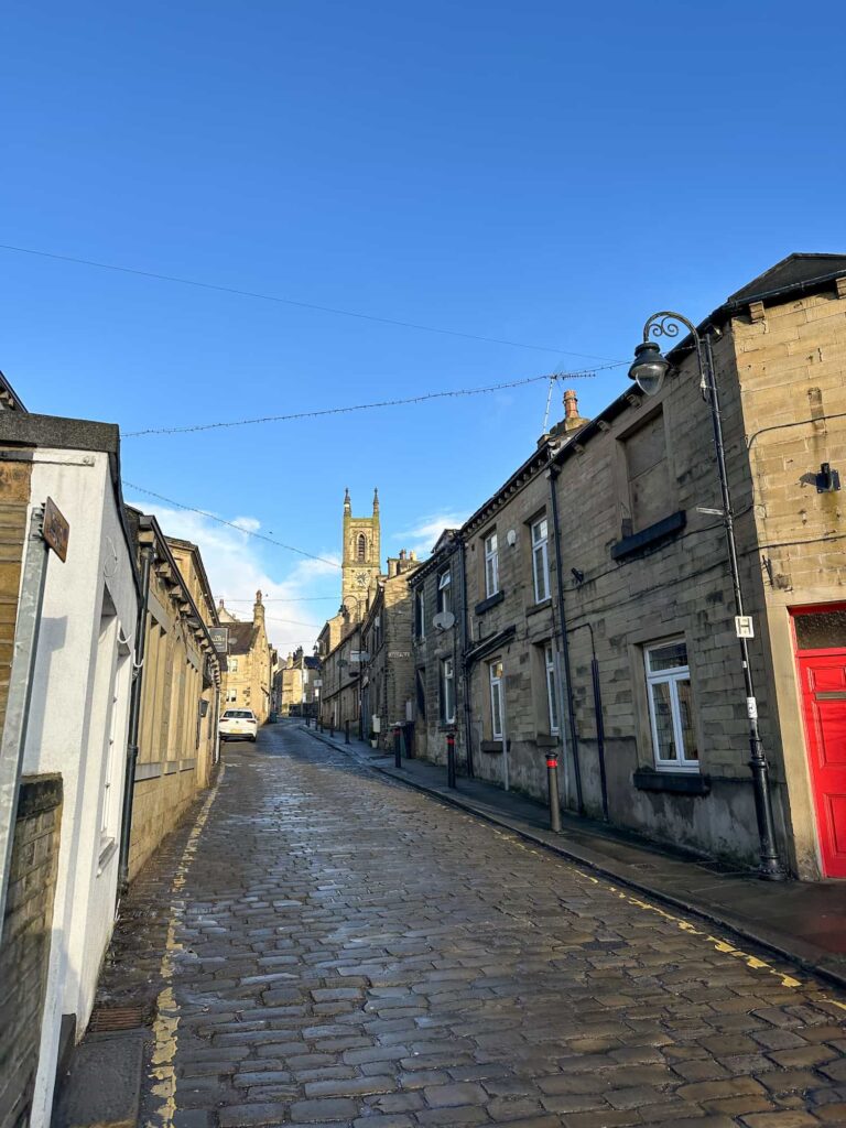
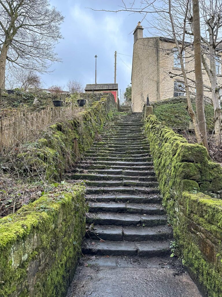
Our Holme Valley Circular walk started in Honley, which has a free (at the time of writing) car park and plenty of shops, cafes and pubs. A lot of the other Holme Valley Circular walk routes tend to start in Armitage Bridge but there are more facilities in Honley. We got a bacon sandwich from Ashton and Mason and loaded up on lunch from the village Co-op, then set off up the quaint cobbled Church Street through the beautiful older part of the village.
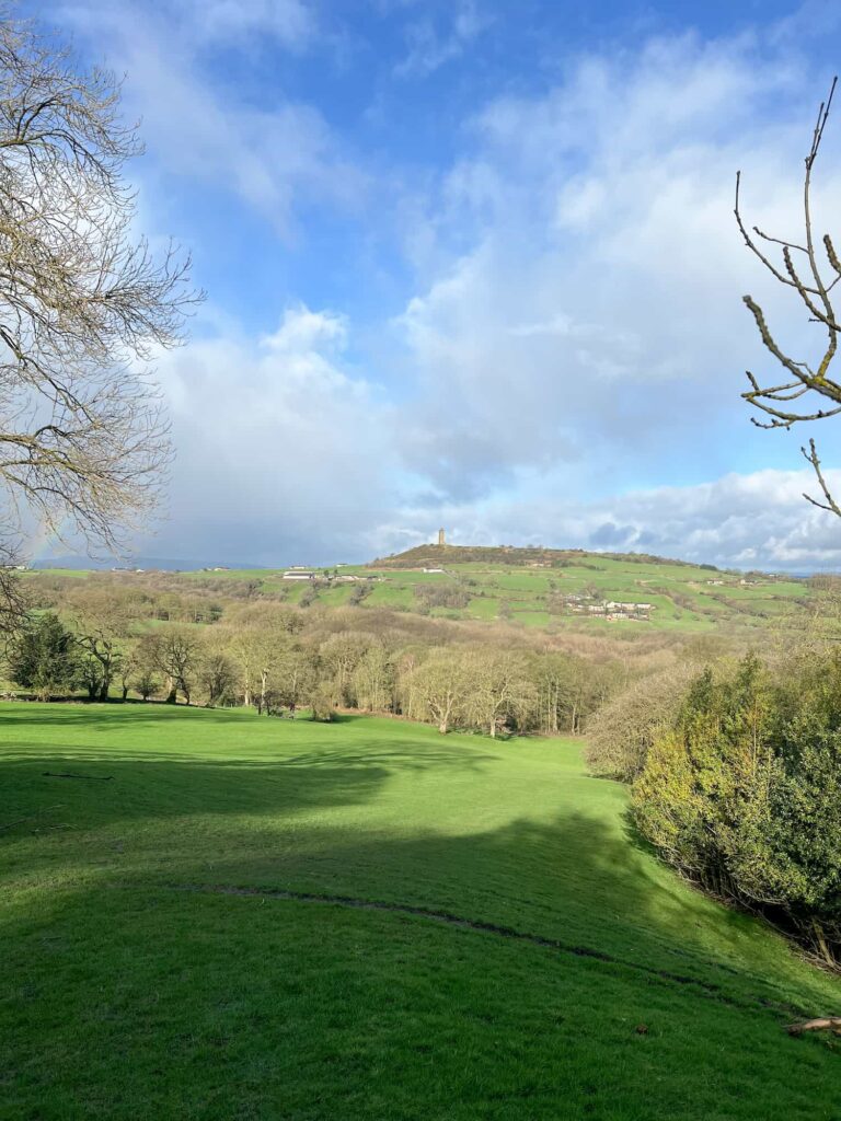
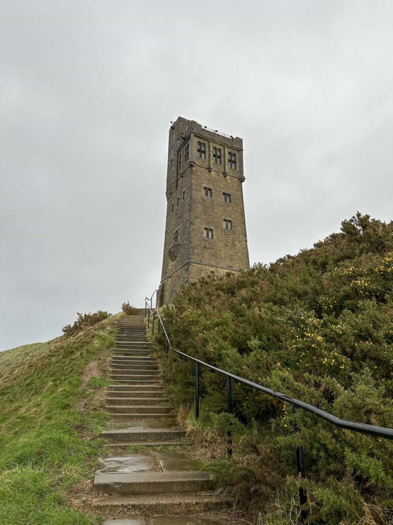
The walk heads over Magdale Bridge then winds up towards Netherton before dropping down through Mag Wood towards Armitage Bridge. There was a bit of road walking, involving crossing the main Huddersfield Road, then it’s a steady climb up to Castle Hill via Stirley Farm through some extremely boggy wet fields. We reached Castle Hill and the heavens opened, so we didn’t hang about up there!
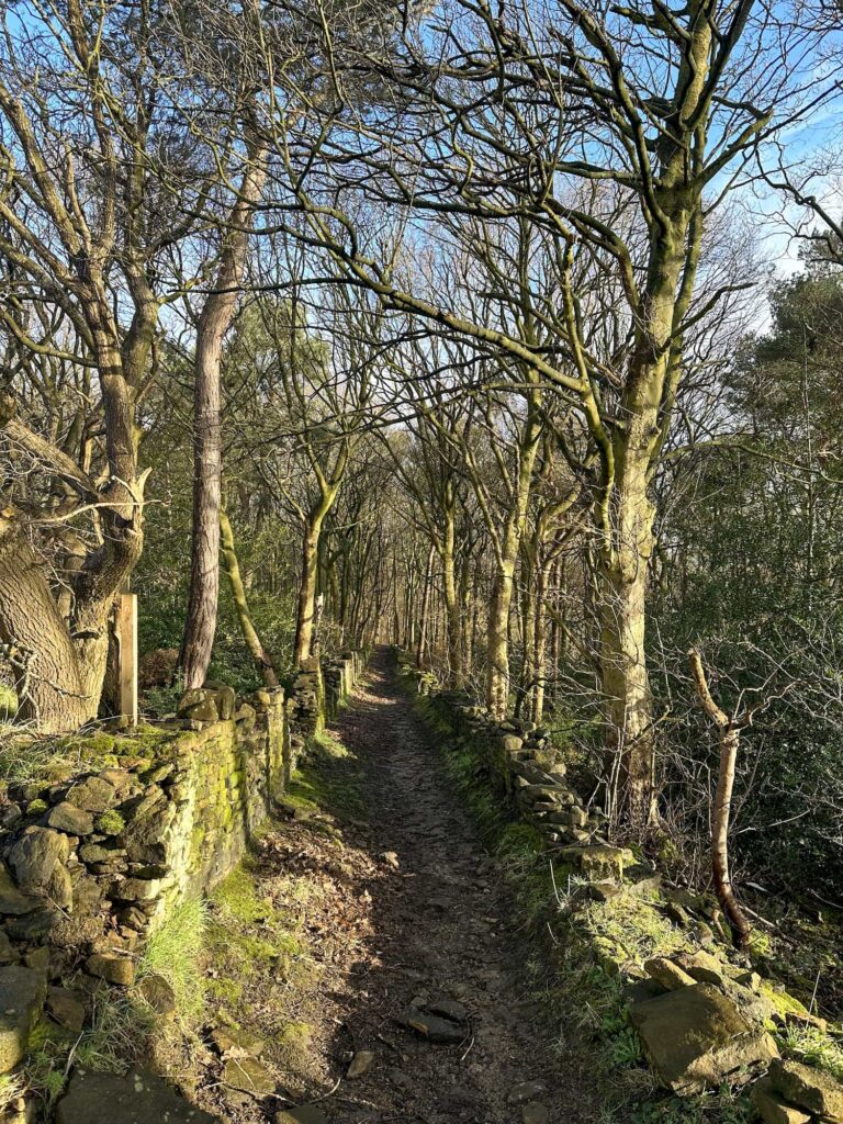
The path follows the road down from Castle Hill for about 0.1 miles until it reaches a faint path off through the trees. We followed this out onto Lumb Lane (you could just follow the road itself and I wish we had as the path through the woods was super muddy!). There are two footpaths which essentially lead to the same place, but we followed Lumb Lane up (west) for a short distance and then picked up the footpath leading down into Molly Carr Woods before crossing Lumb Dike and into Royd House Wood.
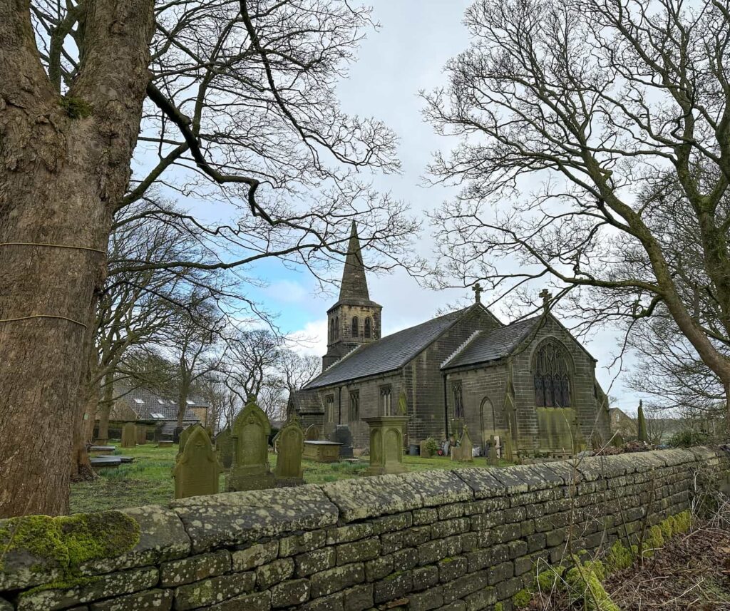
The muddy wet path then continues up the hillside and eventually becomes a track which leads out onto Woodsome Road next to the Golden Cock pub. We headed towards the church and followed the footpath which runs alongside the church grounds out over the fields towards Thurstonland, crossing Farnley Moor before reaching Hall Ing Road. We crossed over the road and followed the footpath across the fields, eventually emerging in Thurstonland.
We picked up the footpath heading up the hillside (the mud made this very tough going – it was like being on a cross trainer!) and then dropped back down over Haw Cliff into Biggin. The path then heads over the waterlogged fields into Fulstone, which is a very pretty village, before running up to meet Penistone Road. Crossing the road, we went up the hillside and out onto another road, headed down the road and then up a rough gravelled track onto some moorland. This becomes Hurst Lane and heads around Hullock Bank before dropping down the hillside. The footpath has been diverted from what is shown on the OS Map over to the east through a small woodland (it looks originally to have gone through the houses) before picking up Meal Hill Lane. From here you can just see the beautiful old bridge and lake through the trees that forms part of the gardens of Meal Hill.
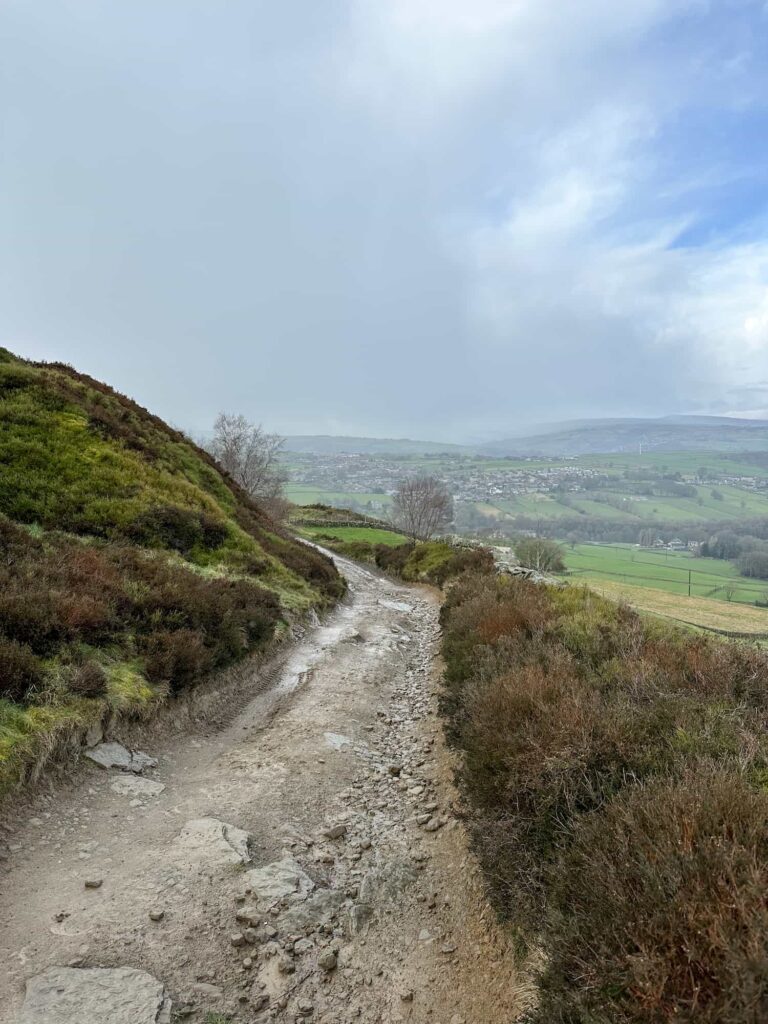
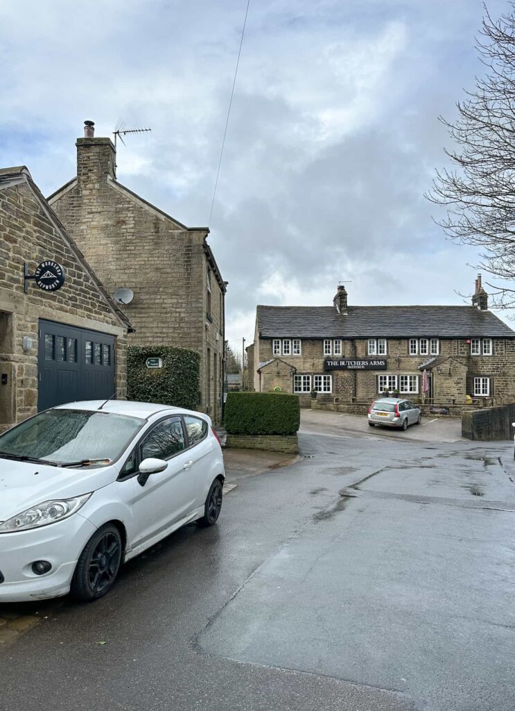
Crossing Sheffield Road, the route heads down the hill and crosses a bridge before climbing up the worst of the muddy paths which leads into the pretty village of Hepworth. The footpath here is hard to spot – we headed towards The Butchers Arms and the sign is just visible next to the The Workshop. The route heads out across the fields to join Ox Lee Lane, and follows this for 0.3 miles. The route crosses Penistone Road and heads up a footpath next to a farm track then across a very boggy field, before crossing Daisy Lee Lane and the field before emerging on Snittle Road. Snittle Road climbs steadily for about 0.45 miles before coming to the junction with Flight Hill, Dunford Road and Linshaws Road.
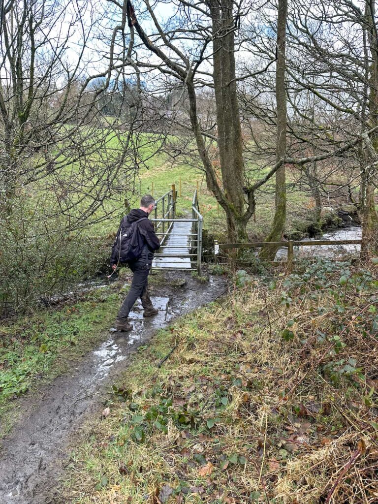
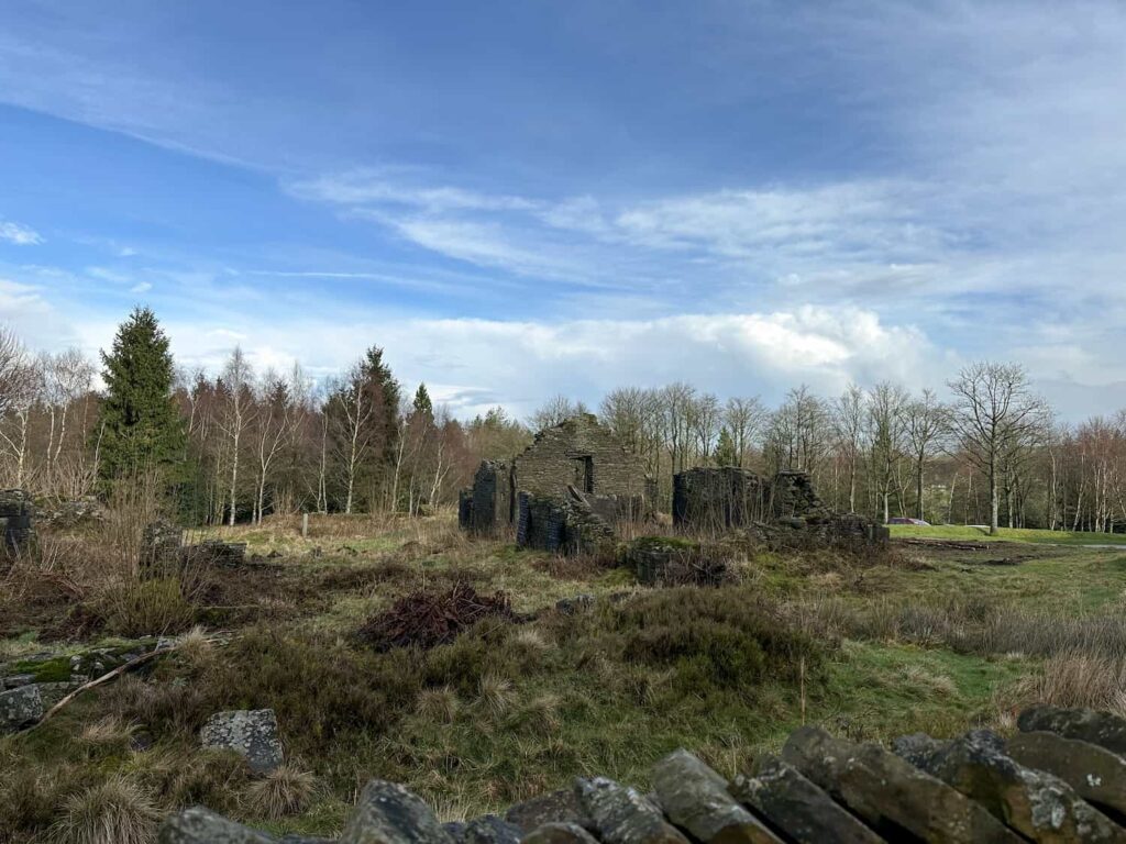
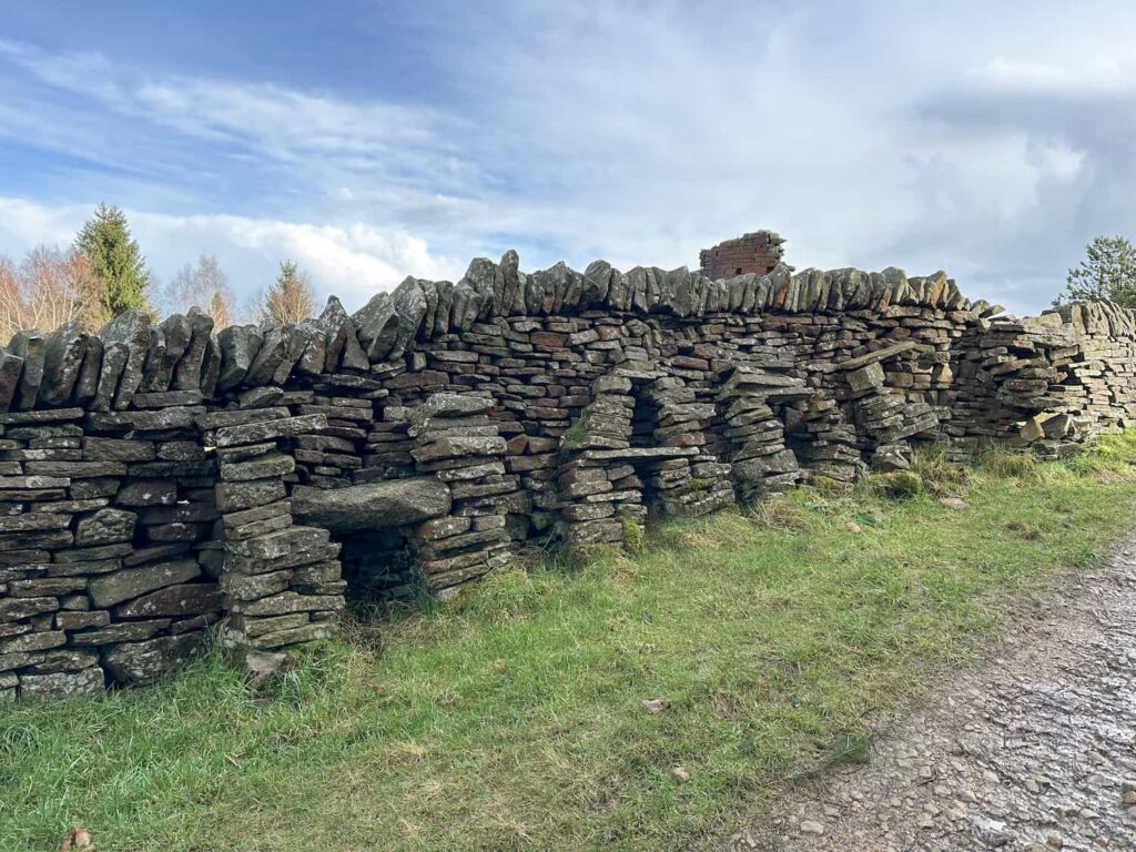
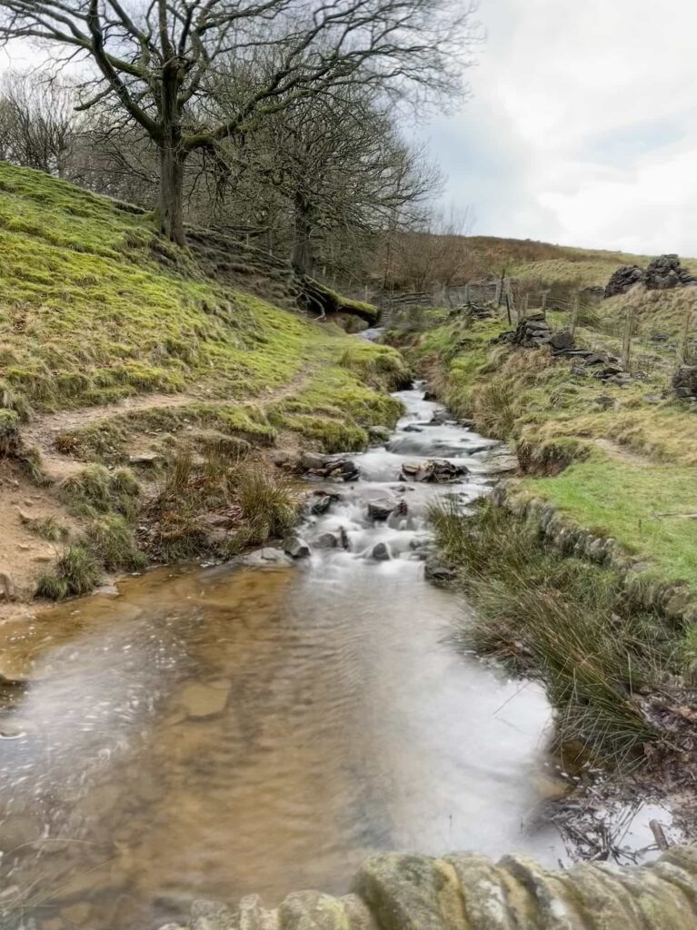
We walked along Linshaws Road and dropped down the woodland track to Hades (pronounced like shades), where you can see the ruined farm buildings and the quirky stone wall spelling the name. The path winds its way to cross Reynard Clough before heading out past Elysium Barn and White Gate Leisure camp site. There is a footpath just up the road from the camp site which crosses Dobb Dike and heads over the fields to Tinker Well.
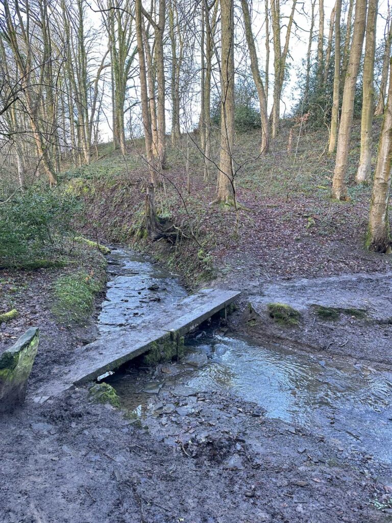
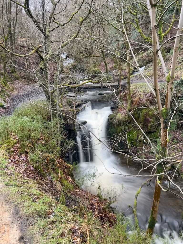
We dropped down towards Ramsden Reservoir and walked across the embankment before climbing up through the woods to cross Rake Dike and it’s gorgeous waterfall.
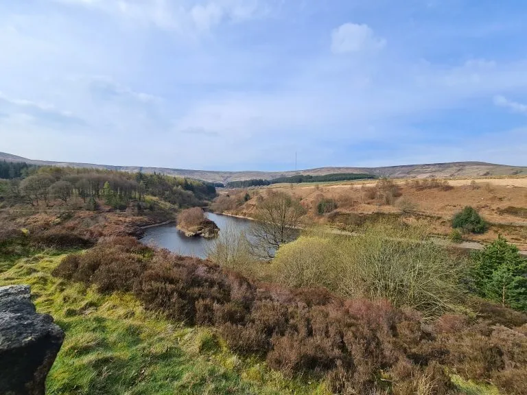
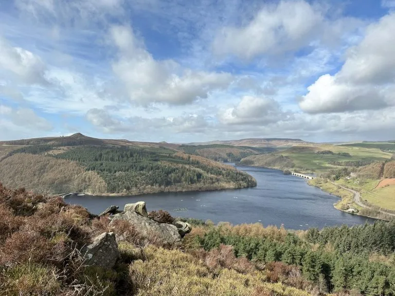
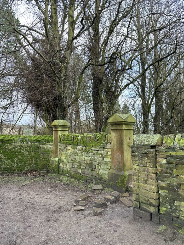
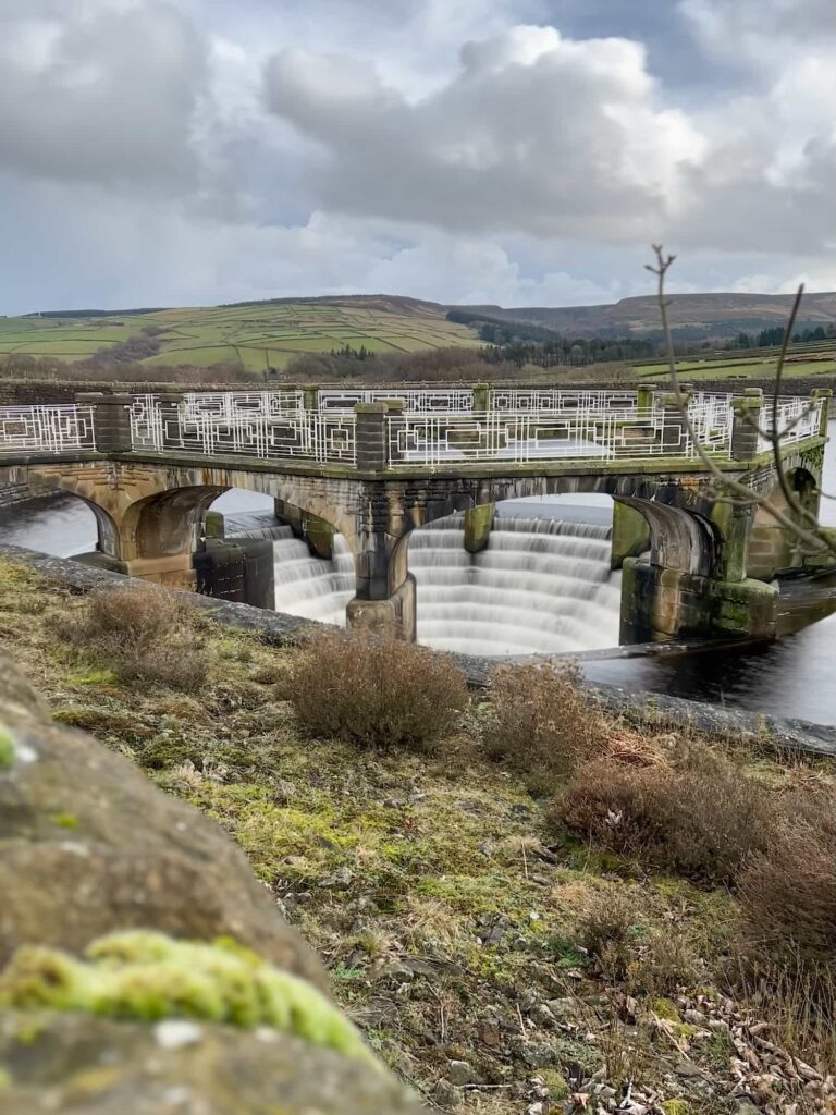
There’s another climb up before the path eventually emerges on Woodhead Road in Hade Edge. As tempting as it was to nip to The Fleece, the walk heads up Meal Hill Road and picks up the footpath that runs across the fields down towards Digley Reservoir. Turning left at the path junction, we crossed Bilberry Reservoir embankment and followed the reservoir path round, past the gates of Hoobram Hill, a former Victorian mansion, and the old well at Hoobram. This website has some fascinating history about the area, including an account of the flood caused when Bilberry Reservoir embankment failed.
After we had looped around Digley the path heads down past the plughole and down Bank Top Lane a short distance before climbing up over the fields to Austonley, Hogley Green and then down the hill before climbing up steeply to cross Greenfield Road. Over the road the climb continues up towards Flat Lane and then joins Broad Lane in Upperthong. It then continues past Wolfstone Heights Farm into Netherthong, another lovely village. We passed into Deanhouse, passing the sadly closed Cider Press, before heading up the hillside and across the fields to Oldfield and then back into Honley.
This is definitely a walk for drier conditions but is a great challenge walk to tackle if you like a longer day in the hills. Honley was a great place to start and finish as there are some great pubs – The Allied on Church Street is always a nice spot to stop off for a post-walk pint!
Walk Details:

Walk Map (Opens in OS Maps): Holme Valley Circular GPX
Parking: There is a small free (at the time of the walk) car park in Honley on Westgate, Honley HD9 6AE W3W://wicked.limes.weeks
Facilities: There are pubs and cafes in Honley. The walk didn’t pass any public toilets but does pass pubs in Armitage Bridge, Farnley Tyas, Thurstonland, Hepworth and Upperthong.
Walk Time: this is an all day hike – we took just under 9 hours to complete this, but the time it takes will depend on your speed and fitness. It’s one to get an early start with!
Difficulty: ▲▲▲
Distance: 23.5 miles (37.4km)
Elevation: 4350ft (1321m)
For more challenging hikes, you might like: