Lathkill Dale Waterfall Walk | 7 Miles
This walk takes you through the beautiful Lathkill Dale Nature Reserve, packed with wildlife and waterfalls as well as history. With traces of the area’s industrial past dotted around, caves to explore and stunning views from the head of the gorge, this 7 mile walk also passes the beautiful Lathkill Dale waterfall on the River Lathkill.
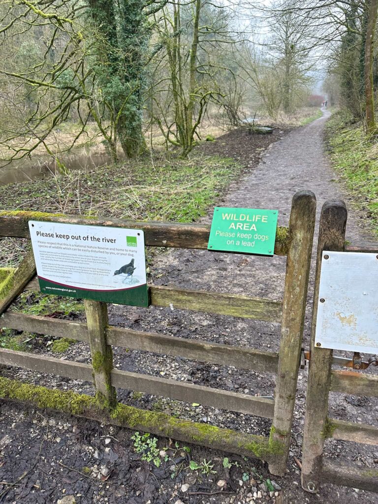
Dogs are allowed on these paths, but they need to be kept on a short lead and out of the river. This is a Site of Special Scientific Interest and is protected by law. Please respect this beautiful place and keep your dog on a lead if you bring them.
Our walk started from the car park in Over Haddon. We set out onto the road and turned right, heading down the hill along the road to a small cluster of buildings and the entrance to Lathkill Dale Nature Reserve. Here there are some signs explaining how fragile the nature reserve is.
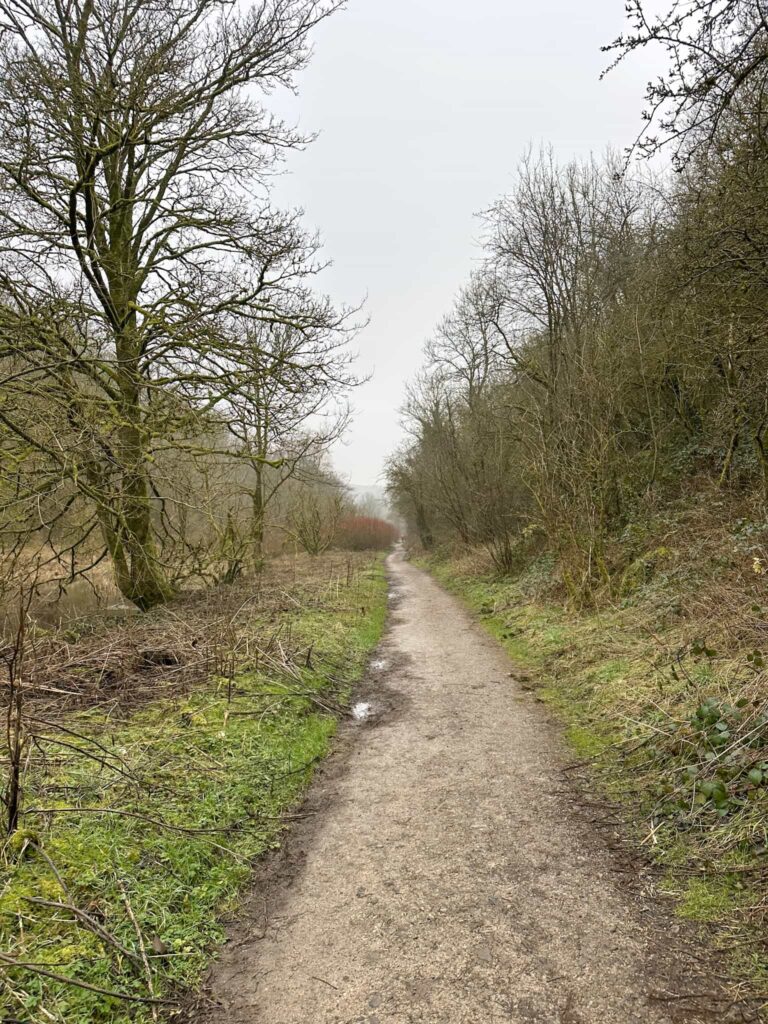
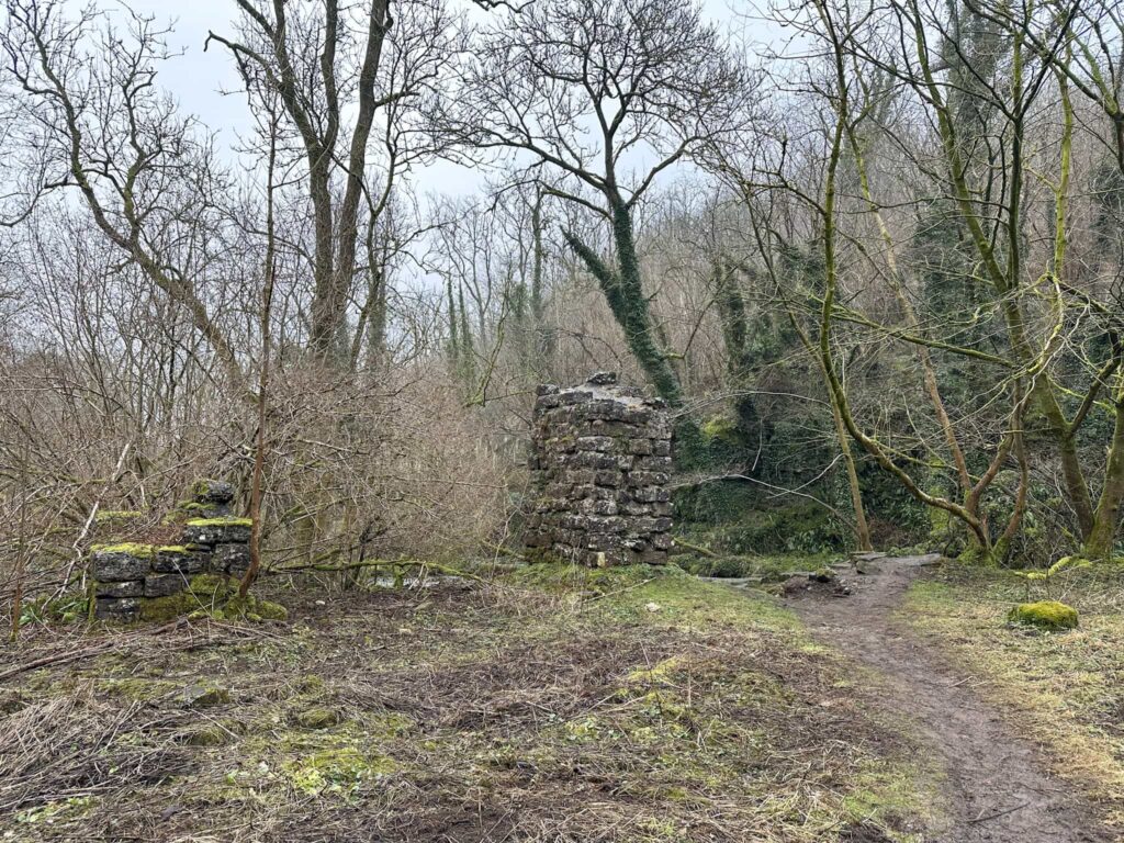
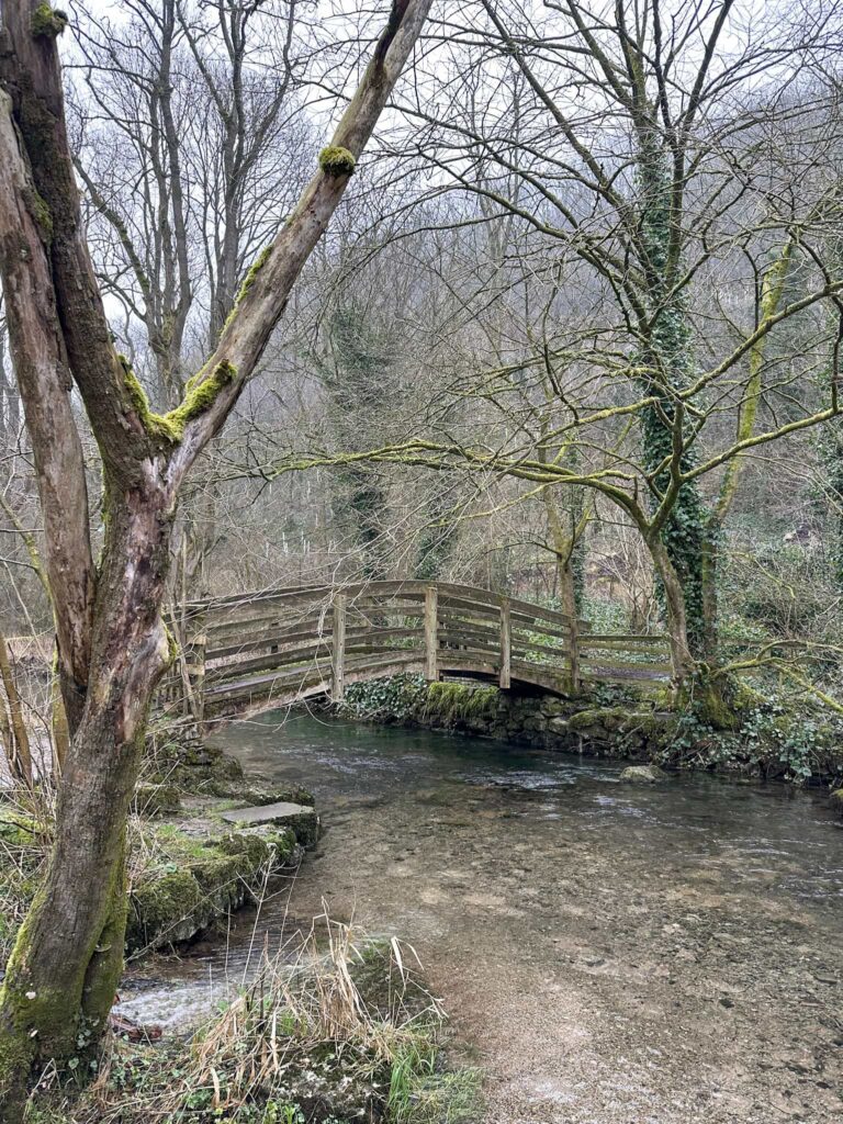
We passed through the gate and followed the riverside path, passing the ruins of a mine aqueduct, used in the 1800s when the area was a lead mining complex. Further along the river is the bridge to cross to the ruins of Batemans House, the site of a pumping engine to help keep water out of the mines.
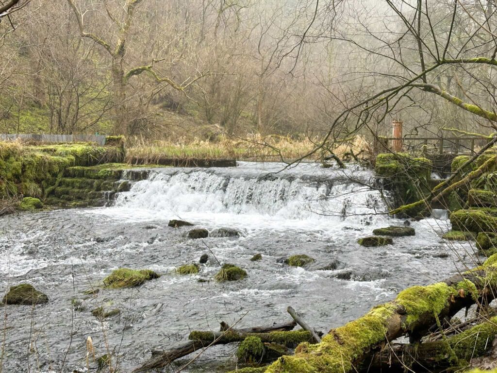
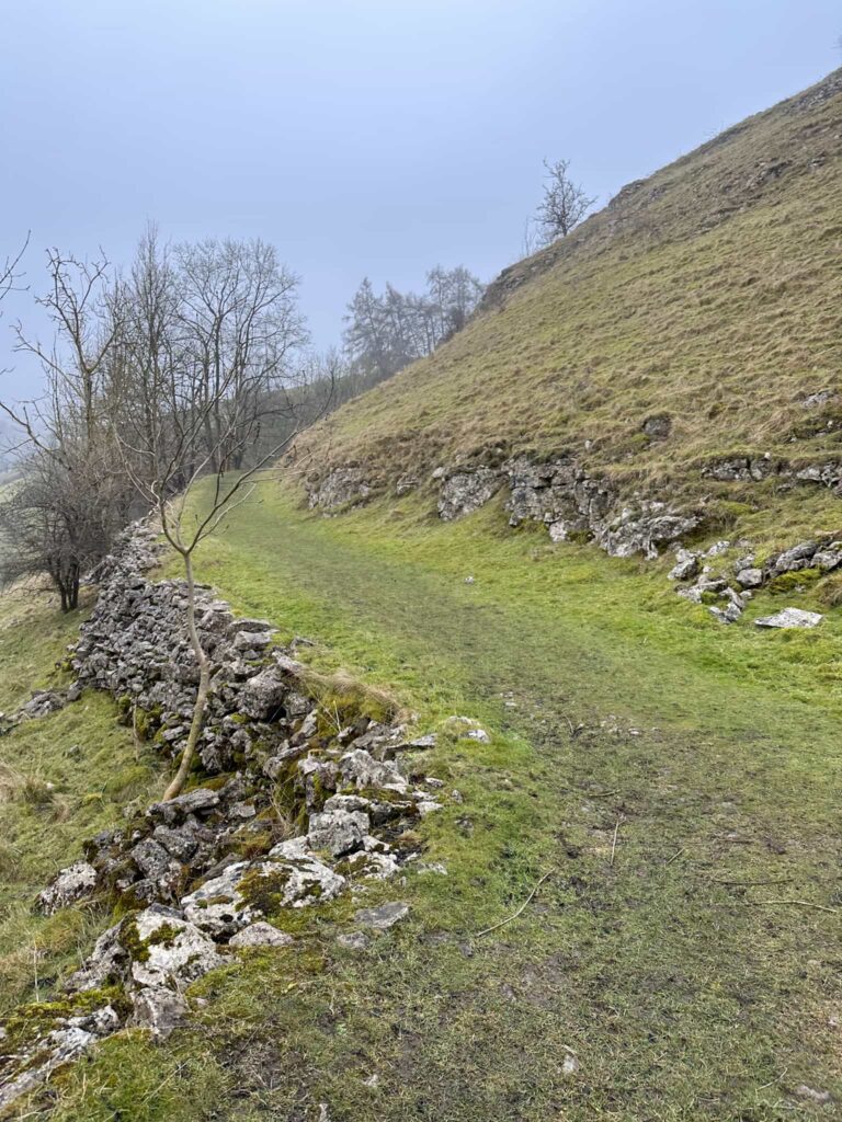
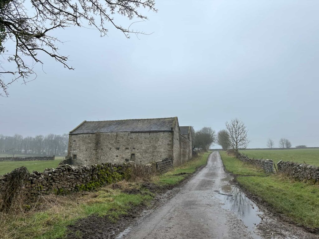
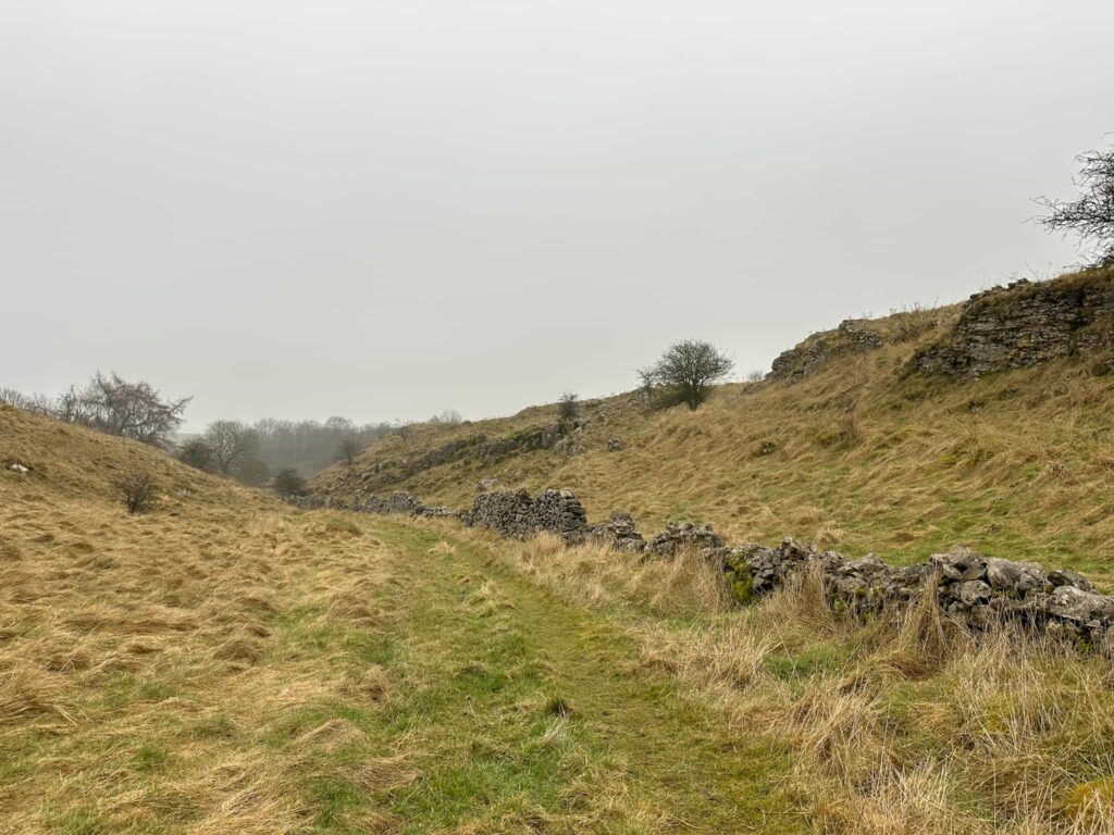
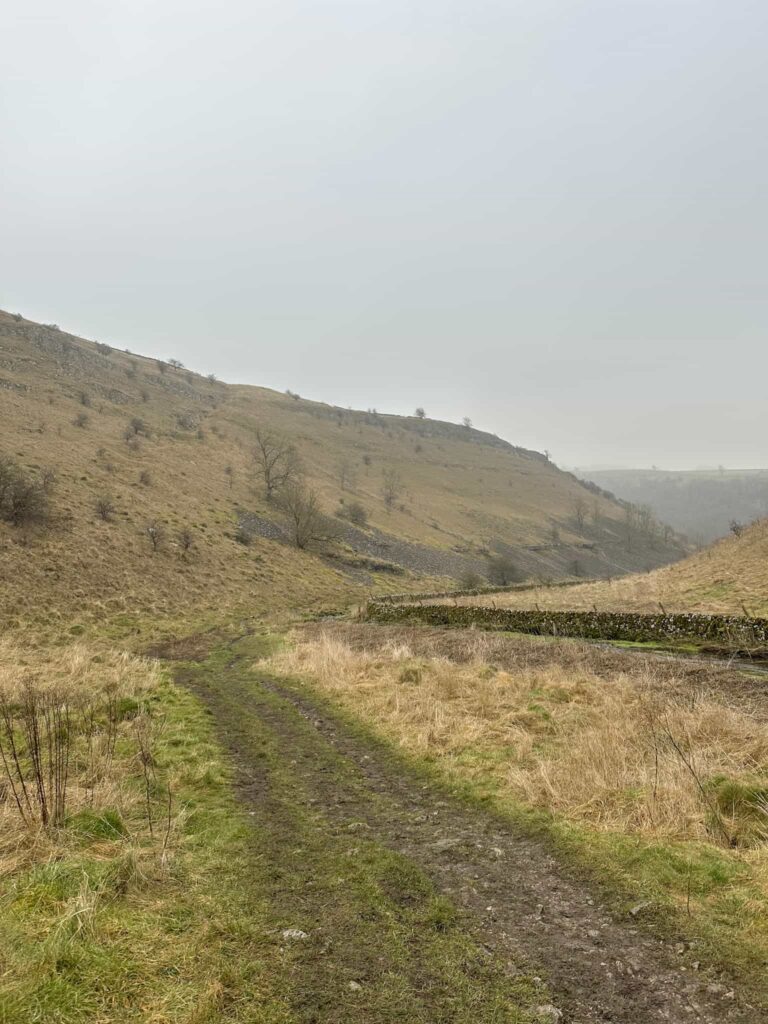
The route reaches a weir and millstone near a tree which is all that remains of an old corn mill, Carters Mill. Here we left the riverside path and headed north, following the path running alongside the dry stone wall. There are a couple of caves just off the path here. The path winds around the head of the valley and then passes through the farmyard of Mill Farm before reaching the road. We followed the lane a short distance before heading down the track of Haddon Grove Farm, a campsite. We passed down the track and through the farmyard, heading over a stile and out into the fields.
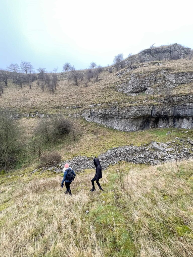
The footpath crosses a number of fields with stiles and then passes into Ricklow Dale, the site of the former Ricklow Quarry which used to produce limestone. If you’re lucky you might see Gigantoproductus fossils but it is forbidden to remove any fossils from the SSSI.
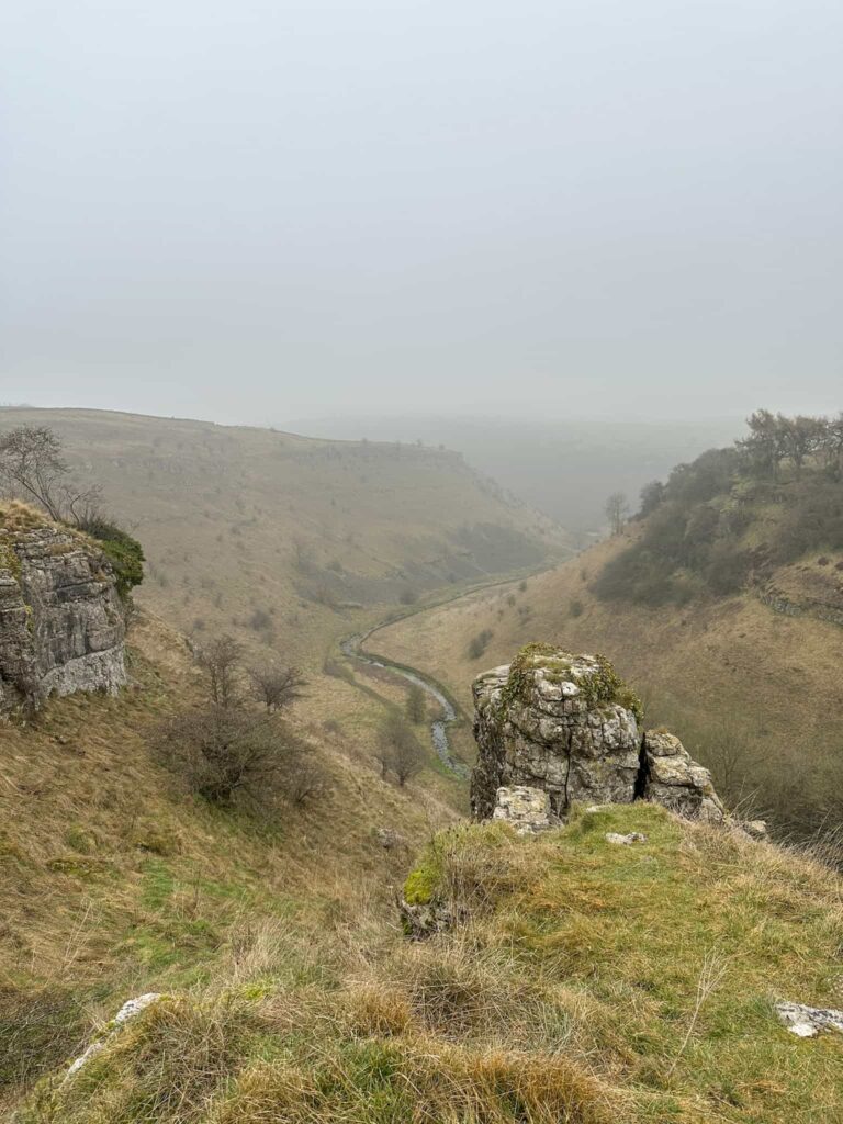
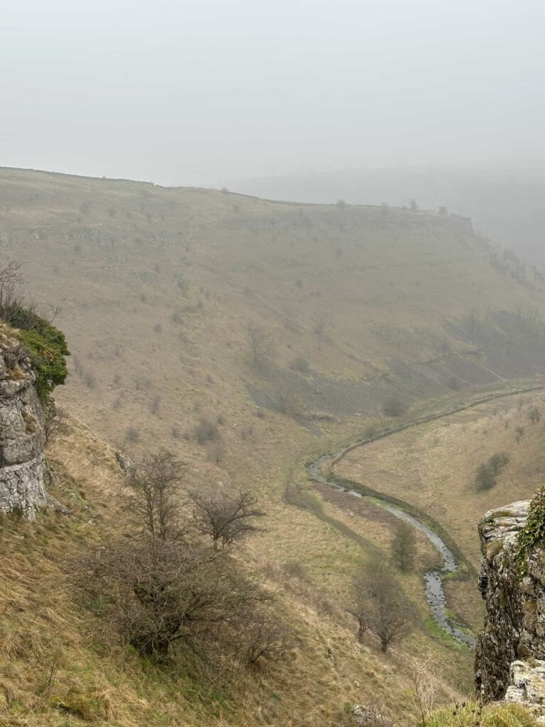
We followed the path along the top of the gorge – take care if you take this path as it’s quite close to the edge in some places. We passed Lathkill Head and followed a very faint path down the middle. Take care down here – there is a steep drop, the path is very narrow and being limestone can be very slippery. We carefully wound our way down into the valley bottom and rejoined the riverside path, heading downstream.
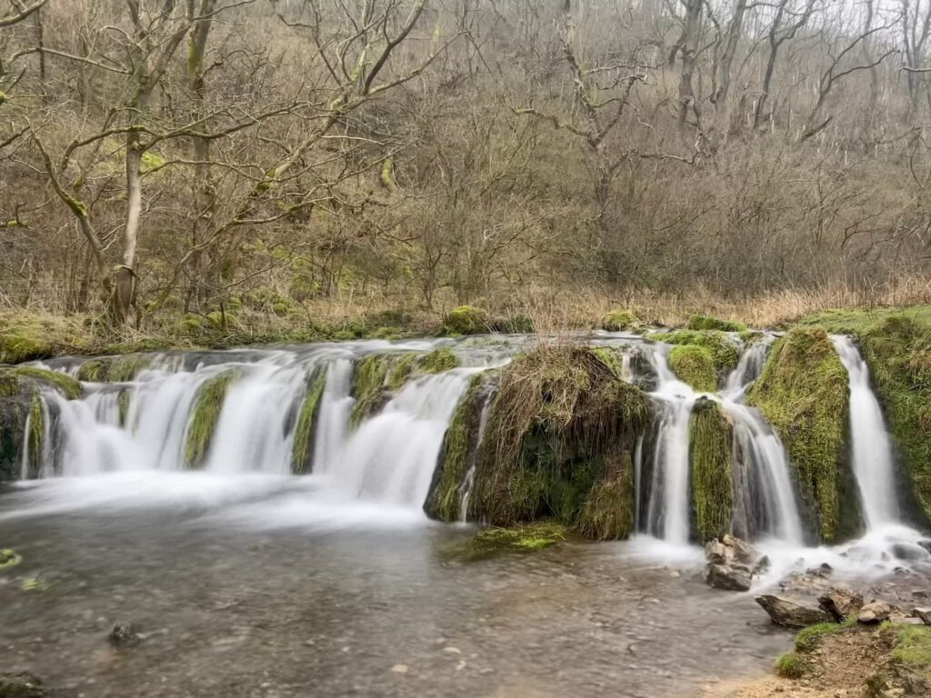
The route passed the beautiful Lathkill Dale waterfall, which may not be the tallest but is certainly very pretty! We continued along the riverside path back to our starting point, and then headed back up the hill to the car park.
Lathkill Dale Waterfall Walk Details:

Walk Map (Opens in OS Maps): Lathkill Dale Loop
Parking: Pay and display in Over Haddon, 8 Monyash Rd, Over Haddon, Bakewell DE45 1HZ W3W:///breaches.chucks.shop
Facilities: There are public toilets in Over Haddon.
Walk Time: 3-4 hours
Difficulty: ▲▲ – there’s one climb up and some slippery skinny paths
Distance: 7 miles (11.2km)
Elevation: 750ft (228m)
Trig Points Bagged: None
Peak District Peaks Bagged: None
Peak District Ethels Bagged: None
For more Derbyshire Dales walks, you might like:
Wolfscote Dale and Biggin Dale | 7 Miles
Thorpe Cloud, Dovedale Stepping Stones, Bunster Hill and Ilam
Chee Dale Stepping Stones Walk | 4 Miles