Low Fell and Fellbarrow Circular Walk | 5 Miles
Tucked away on the quieter western side of the Lake District, Low Fell and Fellbarrow are two of those wonderfully underrated Wainwrights that get overlooked in favour of their taller neighbours. This route from Loweswater takes in both summits, offering up some genuinely spectacular views over Crummock Water, the Buttermere Fells and Grasmoor without the crowds you’d find on the bigger peaks nearby. It’s proof that height isn’t everything when it comes to a good Lakeland walk.
Walk Overview
- Distance: 5.25 miles, with roughly 1,800 feet (548m) of ascent across both fells
- Starting point: Loweswater, with routes commonly starting near the northern end of the lake or from Thackthwaite village
- Parking: Limited roadside spots near Loweswater, so aim to arrive early, especially at weekends
- Terrain: Mostly grassy, well-defined paths, though some sections are steeper or less distinct underfoot
- Difficulty: Moderate, with more ascent than the modest height of the fells might suggest
- Time: Around 4 to 5 hours at a comfortable pace
Route Highlights
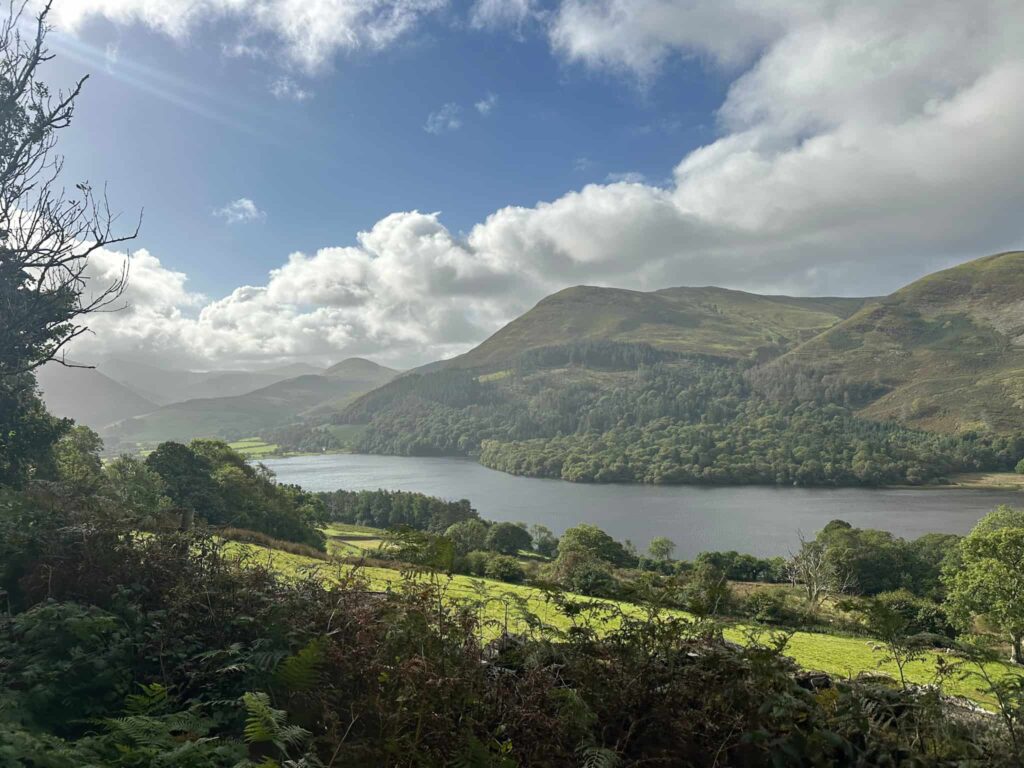
- Low Fell – The higher of the two at 424 metres, Low Fell is often overlooked despite offering one of the best viewpoints in the Lake District, with the summit looking straight out over Crummock Water towards Grasmoor and the High Stile ridge
- Fellbarrow – A quieter, more understated summit than its neighbour, Fellbarrow rewards walkers with wide views out towards the Solway Firth and, on a clear day, across to Scotland
- Crummock Water – Glimpsed repeatedly throughout the walk, the lake adds a real sense of scale and drama to the views from both summits
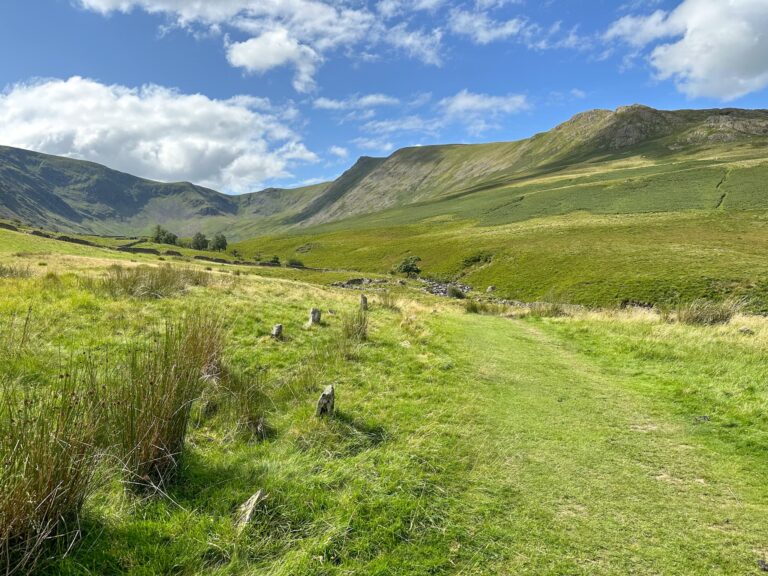
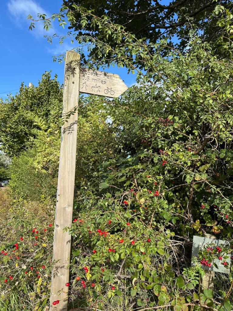
The walk starts from a parking layby near Waterend at the north-western corner of Loweswater. It heads straight up a narrow lane to a junction, and we took the right hand fork to follow the footpath through a field onto a well made track. Turning right, we followed this track downhill for 0.3 miles before picking up a footpath on the left, leading up onto the fellside.
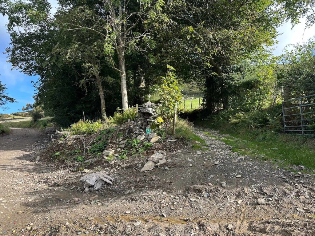
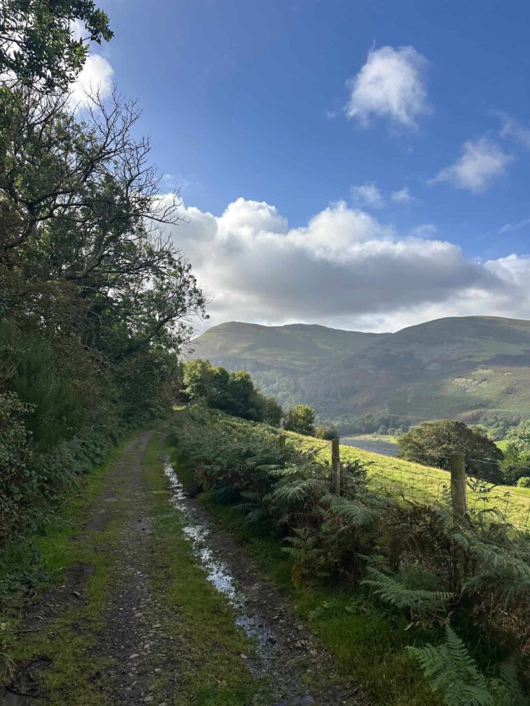
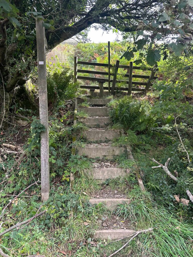
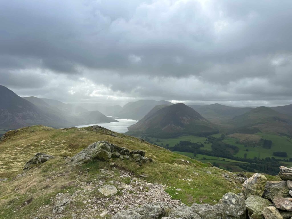
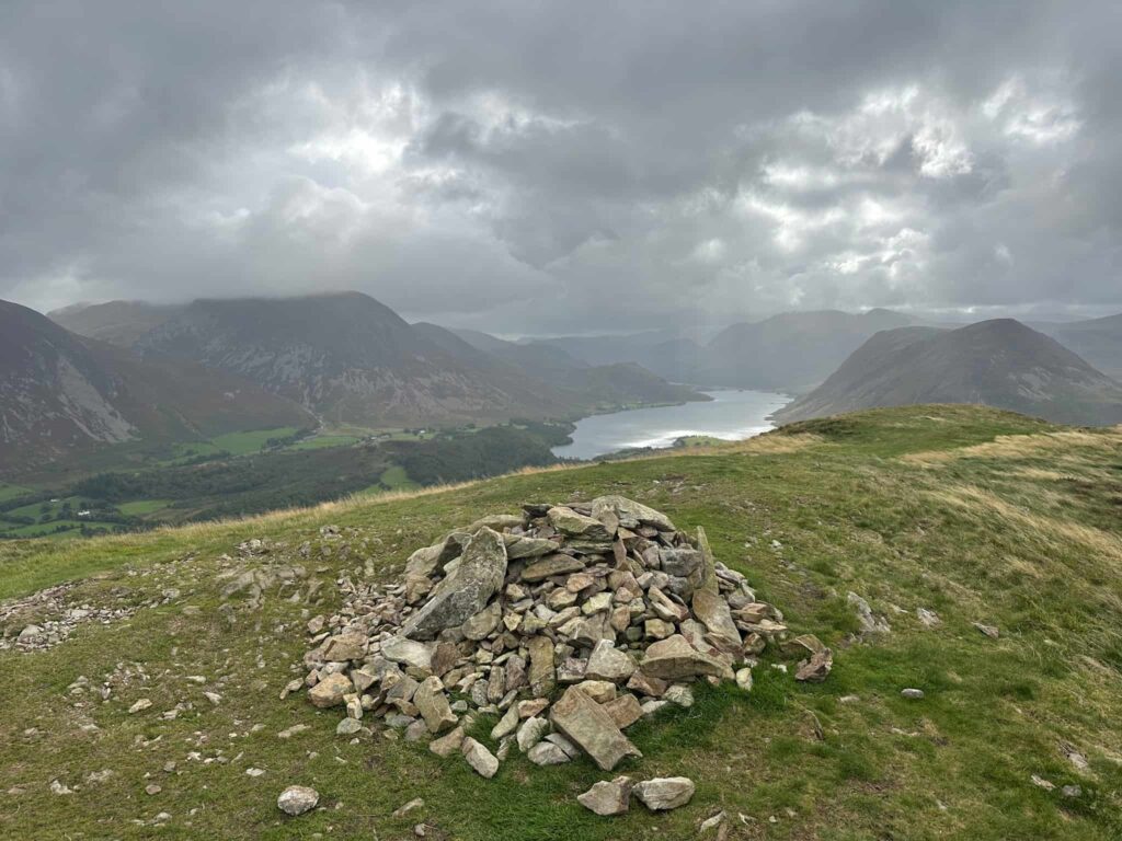
Climbing over the stile, the route climbs steeply up Darling Fell but doesn’t go all the way to the top (totally optional – feel free to if you want!). We skirted round the summit and followed a track crossing Crabtree Beck, before climbing again up to Low Fell South Top. It’s worth having a pause here and admiring the view from the cairn over Crummock Water – it’s rather lovely.
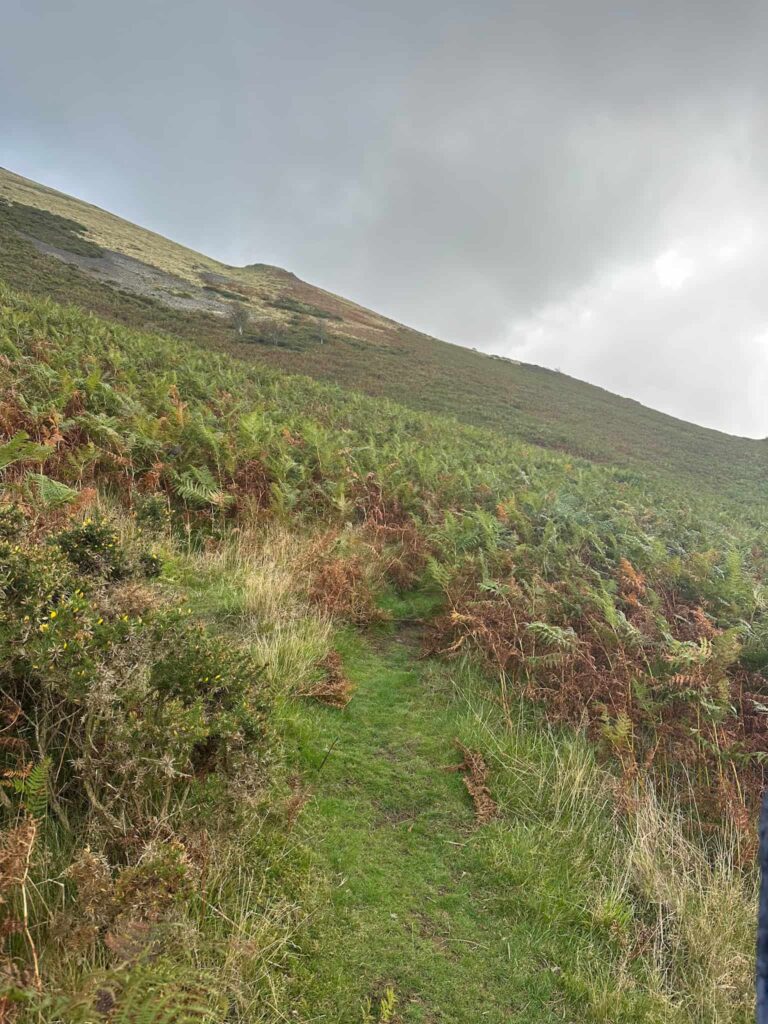
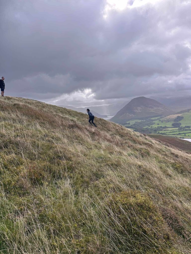
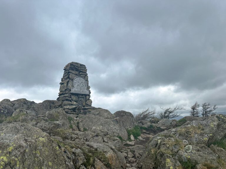
We left the cairn and followed the footpath north, over a stile and then followed the path round to the summit of Low Fell, marked by a cairn.
The path continues north, descending to a stile, and then north-west around to Fellbarrow, following a wall and then fence up to the summit which is marked by a trig point.
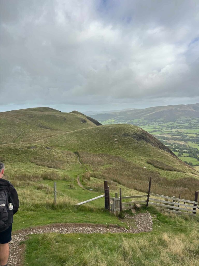
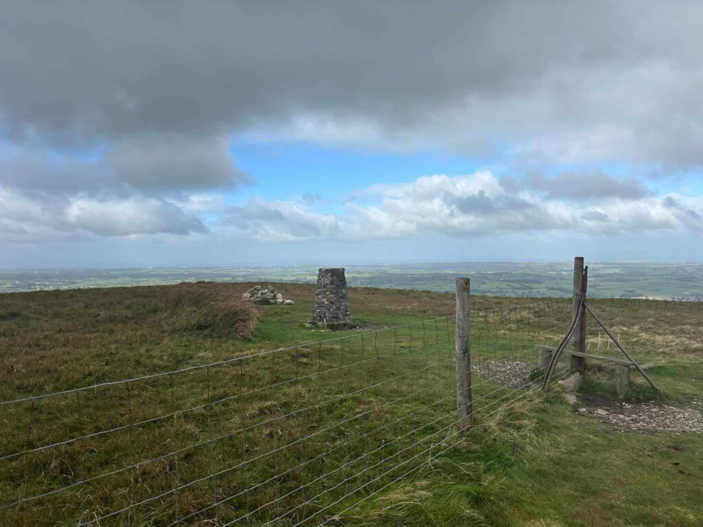
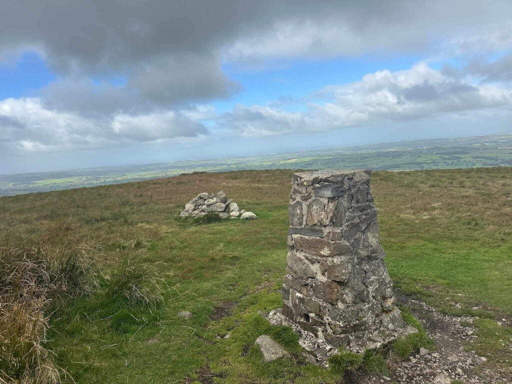
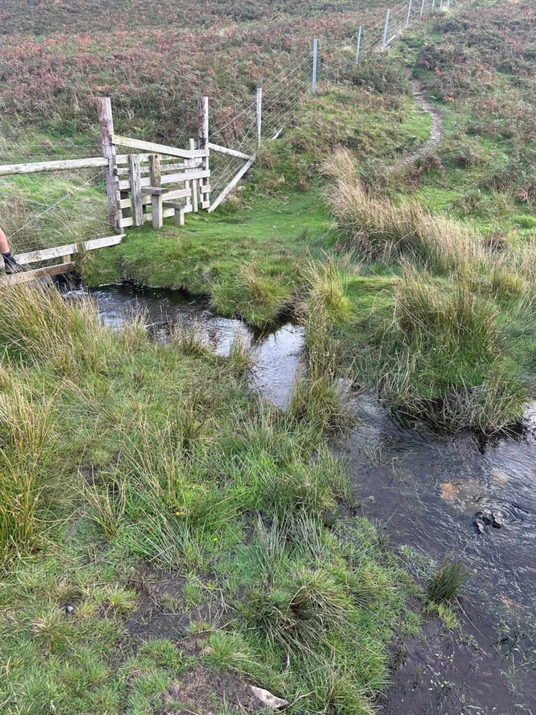
We crossed the stile and passed the trig point and cairn, before picking up the path down Mosser Fell. This is boggy in places – it was September when we did this walk after a very dry summer and it was wet, so it’ll probably be awful in the middle of winter.
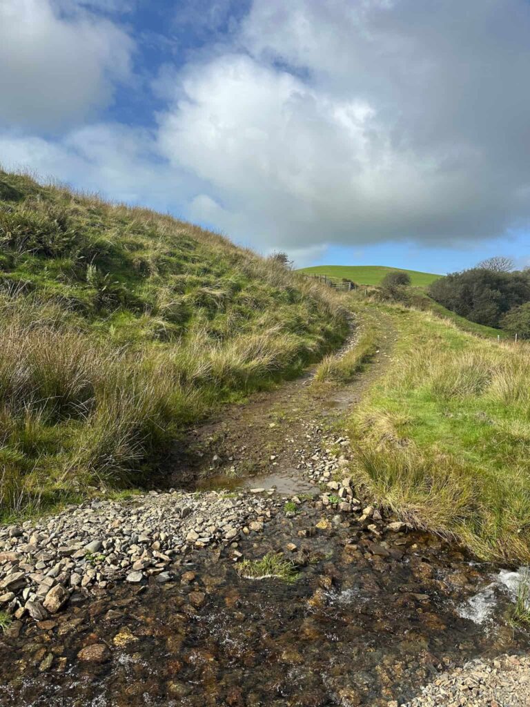
The route crosses the stream and joins the well made track again. We turned left and followed the track until we reached the gate we came through earlier, and then walked back down the field and lane to the car.
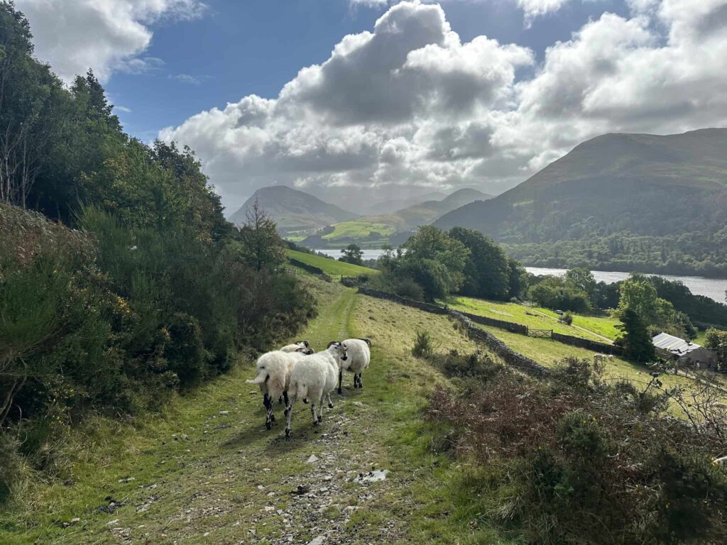
This was a lovely morning route, ticking off a few new fells and enjoying some amazing scenery.
Walk Map (Opens in OS Maps): Low Fell and Fellbarrow Walk Map
Parking: Parking in the layby at the north-western corner of Loweswater, near Waterend Farm, Loweswater, Cockermouth CA13 0SU | W3W:///boats.tortoises.woof pay and display.
Facilities: None – take all your litter home.
Walk Time: 3-4 hours
Difficulty: ▲▲
Distance: 5.25 miles (8.5km)
Trig Points Bagged: Fellbarrow
Wainwrights Bagged: Low Fell, Fellbarrow
You might also like: