How to Find Middle Black Clough Waterfall | 2 Miles
Wondering how to find Middle Black Clough Waterfall? This stunning secret waterfall in the Peak District is hidden away in the Longdendale valley and is a short distance (approx 30 minutes walk) from the Trans Pennine Trail at Birchen Bank Wood. It’s one of the waterfalls near me, and a beautiful place to visit (especially for an Autumn walk!). Read on to find out how to get to this Peak District waterfall.
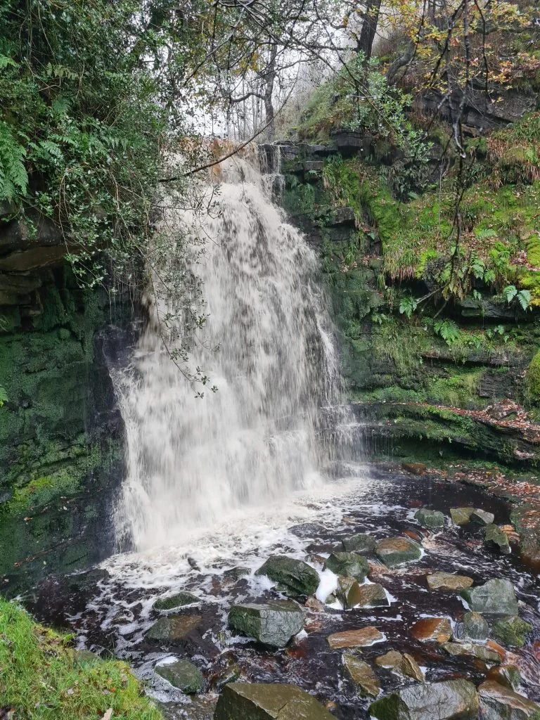
Just to the north of Woodhead Reservoir there are three Cloughs – Far, Middle and Near Black Clough. Middle Black Clough is home to a stunning waterfall with a drop of about 10m and is a proper Instagrammable location. Not when we went though, unfortunately! Middle Black Clough waterfall is a place popular with wild swimmers who fancy a chilly dip in the little pool and photographers who love to capture the waterfall. It’s a short but rocky, scrambly walk to find this Peak District waterfall.
The walk to the waterfall starts from the car parking, either in one of the lay-bys on the A628 or in the Trans Pennine Trail car park just off the main road (SK13 1JE).
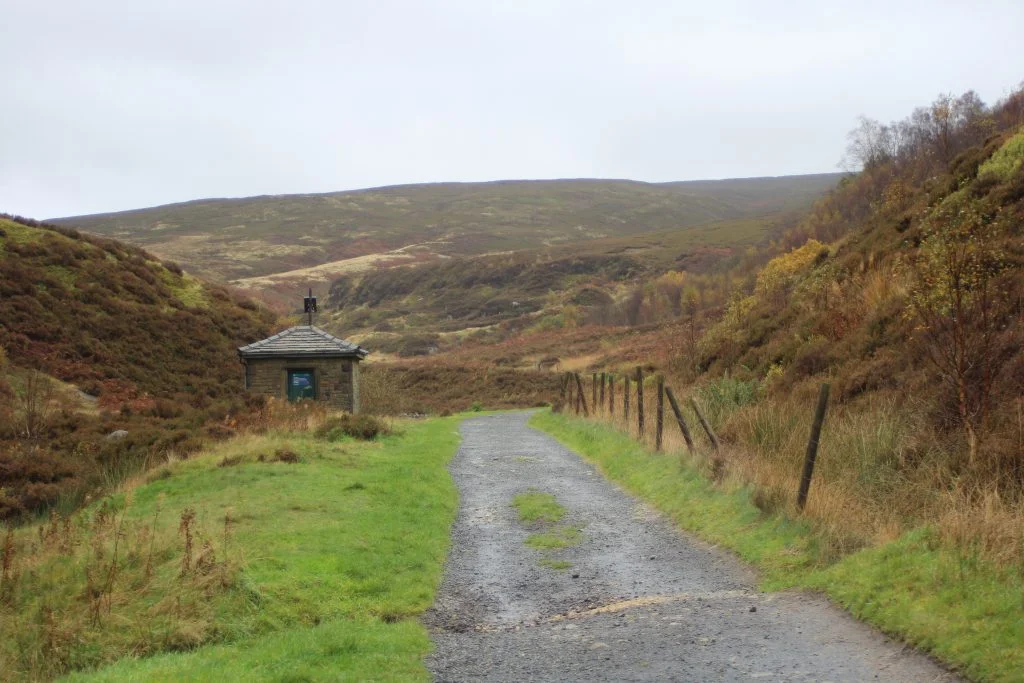

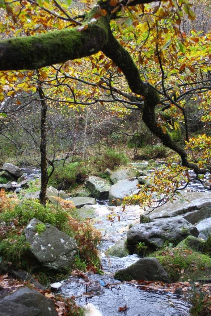
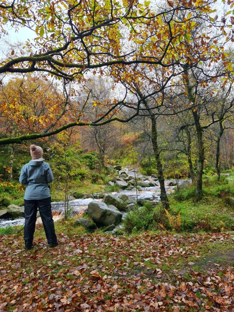
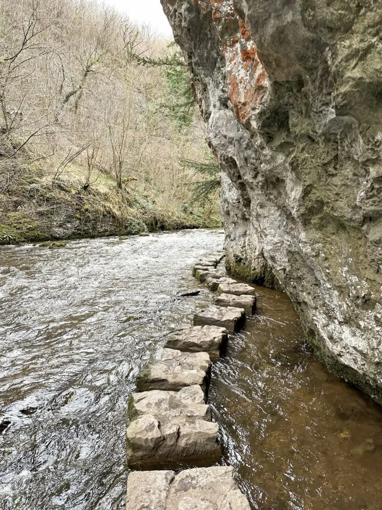
Once you’ve parked up, you’ll follow the river through Birchen Bank Woods and up to the waterfall at Middle Black Clough. Sounds easy right? I wish! You’ll follow the path through the woods, past where it forks back on itself up the hill slightly. Carry on along the side of the valley until you come to a spot where the Cloughs all run into each other. It’s shown as a Ford on the OS plan and you should be able to cross here using stepping stones if the river isn’t too high. Follow the route of the Middle Black Clough up to the waterfall. If the river is too high you might want to come and try and find Middle Black Clough waterfall another day as the way might be impassable unless you have wellies on.

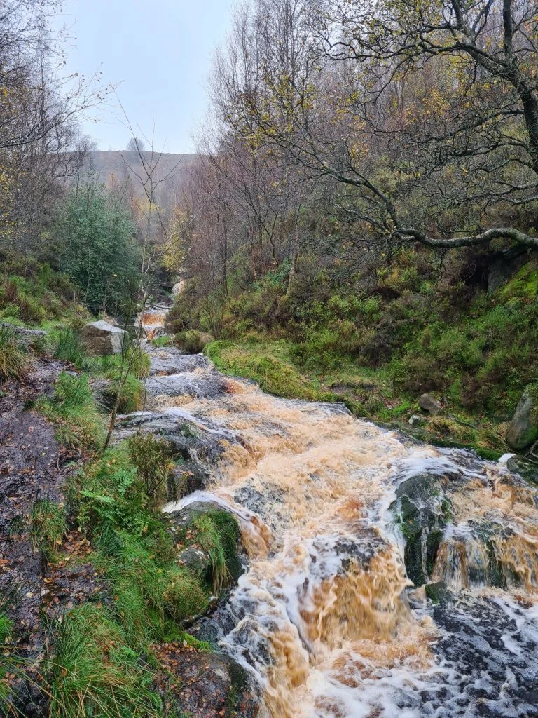
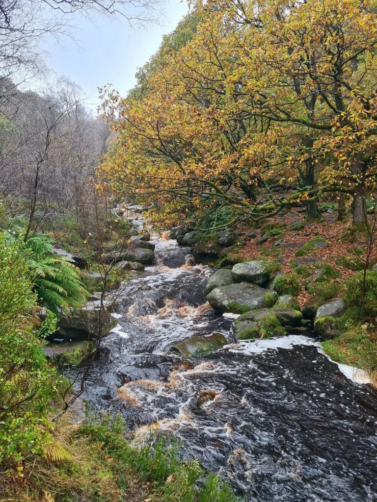
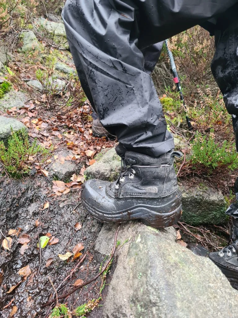
The Middle Black Clough Waterfall walk route is a challenging hike and means you have to cross the stream (using stepping stones or wading across), so be sure to wear appropriate footwear. You have to scramble over rocks to reach the actual waterfall too. We went up to the top of the waterfall and walked across it (which involved a very steep hilly scramble through the bracken), and there is another waterfall further up the valley too.
I would advise against attempting this walk after a period of heavy rain as the rivers might be unpassable. They are very fast flowing and can be dangerous. When we went on this waterfall walk it had rained steadily for a day or so beforehand and the rivers were high and flowing really quickly!
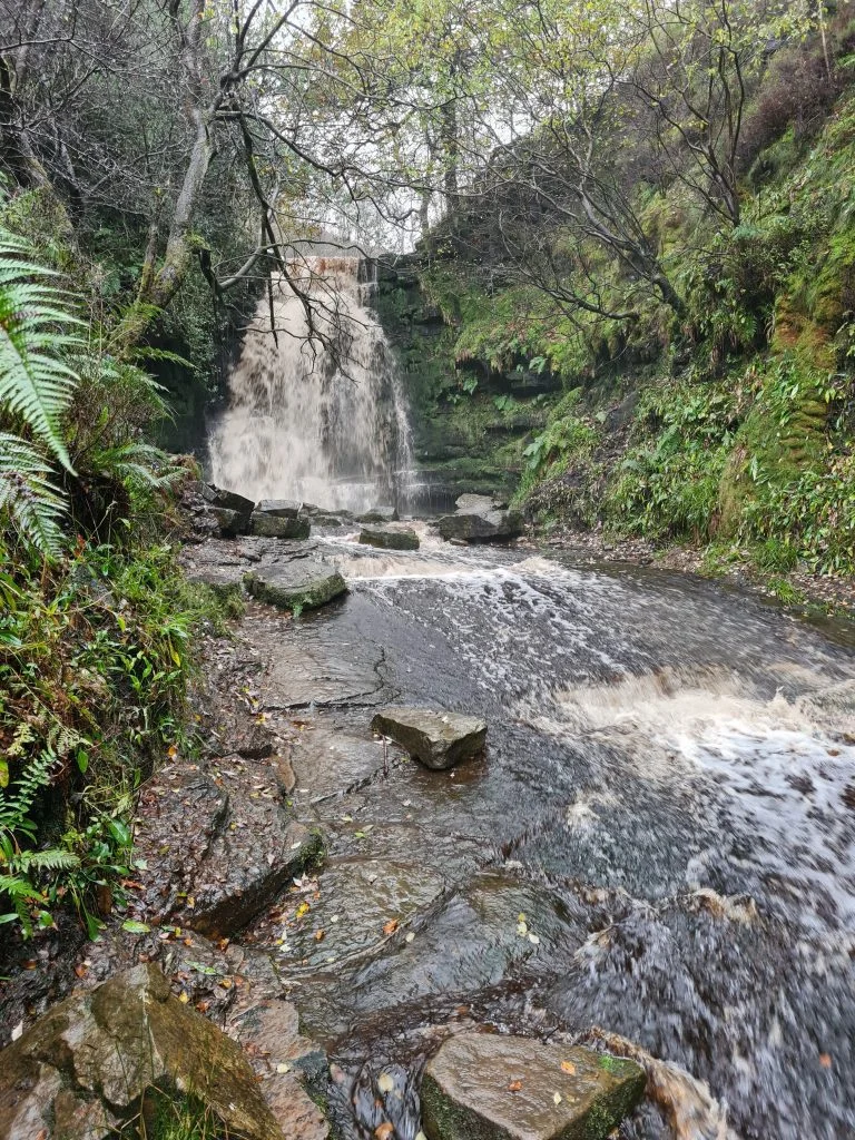
We struggled to cross the river where the map suggests as the water level was so high, and ended up clambering up and over the top of the waterfall itself. It put us on the wrong side of the valley for the walk back and it was a nightmare getting back across, involving a wade across the Ford in water up to our knees with Hols piggybacking!
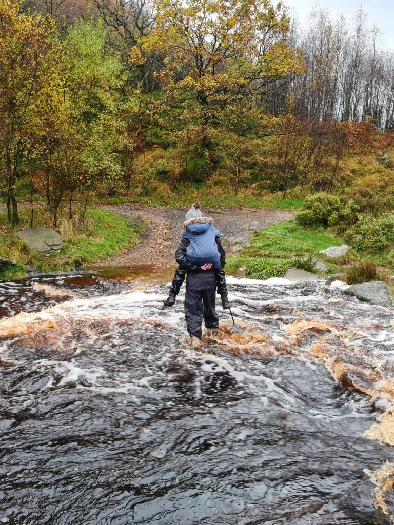
The water was flowing really quickly and the rocks under the water are hidden and slippery. It was a treacherous crossing and one I wouldn’t want to do again! My boots took 3 days to dry out!
Middle Black Clough is accessed using Open Access Land, and access can be restricted at certain times of the year. You can check before you go using Natural England’s website. If the area is closed, it could be to protect vulnerable wildlife or for landowners to carry out maintenance work so it’s important to go another time.
Difficulty: ▲▲▲
Here is the Middle Black Clough waterfall walk route:
Middle Black Clough waterfall parking postcode: SK13 1JE
This waterfall is a hidden gem in the Peak District and is definitely worth the hike! We’ll visit again in summer and maybe have a dip as it looks an amazing place to do a spot of paddling on a hot day.
Here are some more short walks with kids in and around the Peak District. You can also follow The Wandering Wildflower on Instagram or Pinterest for more hiking inspiration and Peak District hidden gems!

Inspirin!!!
your blog came as a first suggestion after by chance i found black clough waterfall mark on bing maps. i’m sure it wasn’t there obviously marked when i chacked it last time. and i’m using on-line version of os maps overlay a lot.
living in the not so distant area for 9 years and i never knew such a gem is hiding around.
many, many thanks!!!
you just made my saturday evening hike/ride planning much more exciting.
cheers!
i.