Steel Cotton Rail Trail: Marple to Romiley | 2.5 Miles
If you love waterside walks, this part of the Steel Cotton Rail Trail will be right up your street. The Marple to Romiley section follows the canal, with its mix of industrial heritage, peaceful towpaths, and one of the most spectacular aqueducts in the country.
This post came about after a lovely invite from the High Peak and Hope Valley Community Rail Partnership, who asked me to help spread the word about their new walking trail. I wasn’t paid to do this – I just thought it was a great idea worth sharing.
Walk Highlights
Canal walks
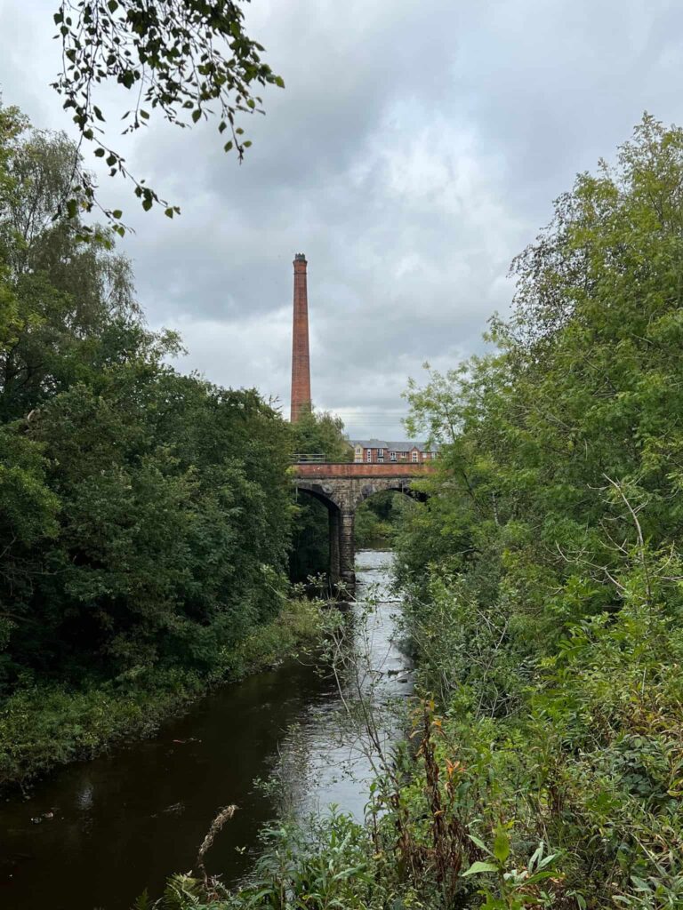
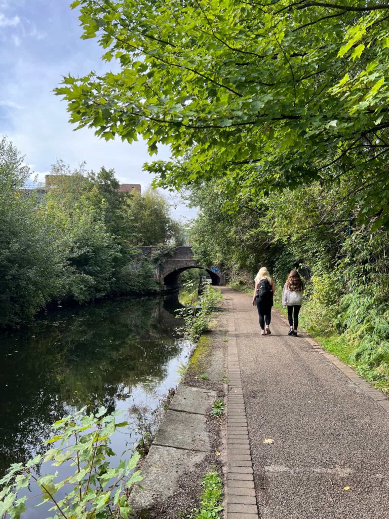
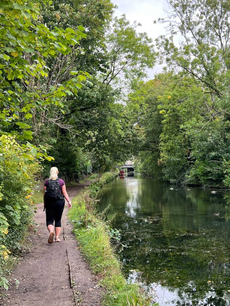
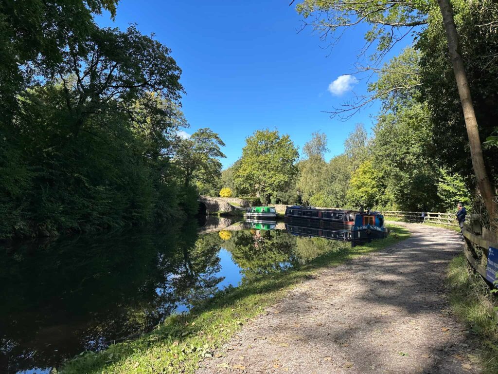
This stage is mostly along the Peak Forest Canal, so it’s an easy-going section with narrowboats, locks, and plenty to look at along the way.
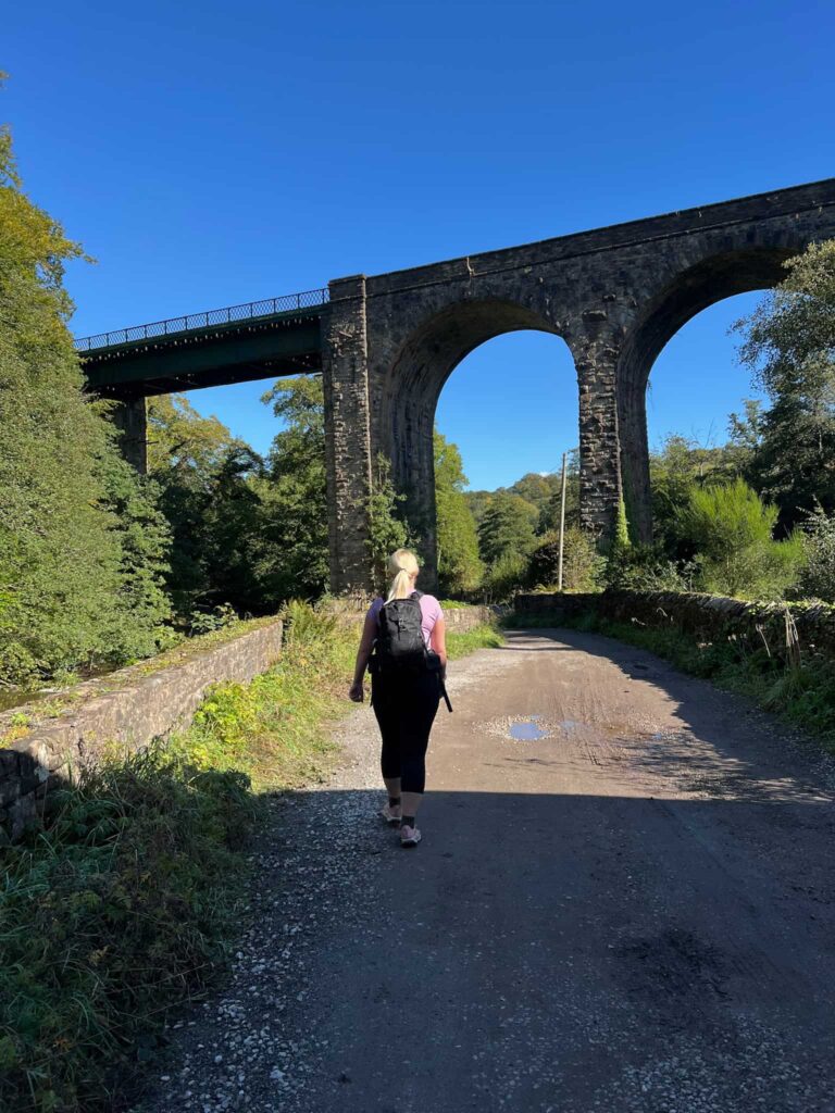
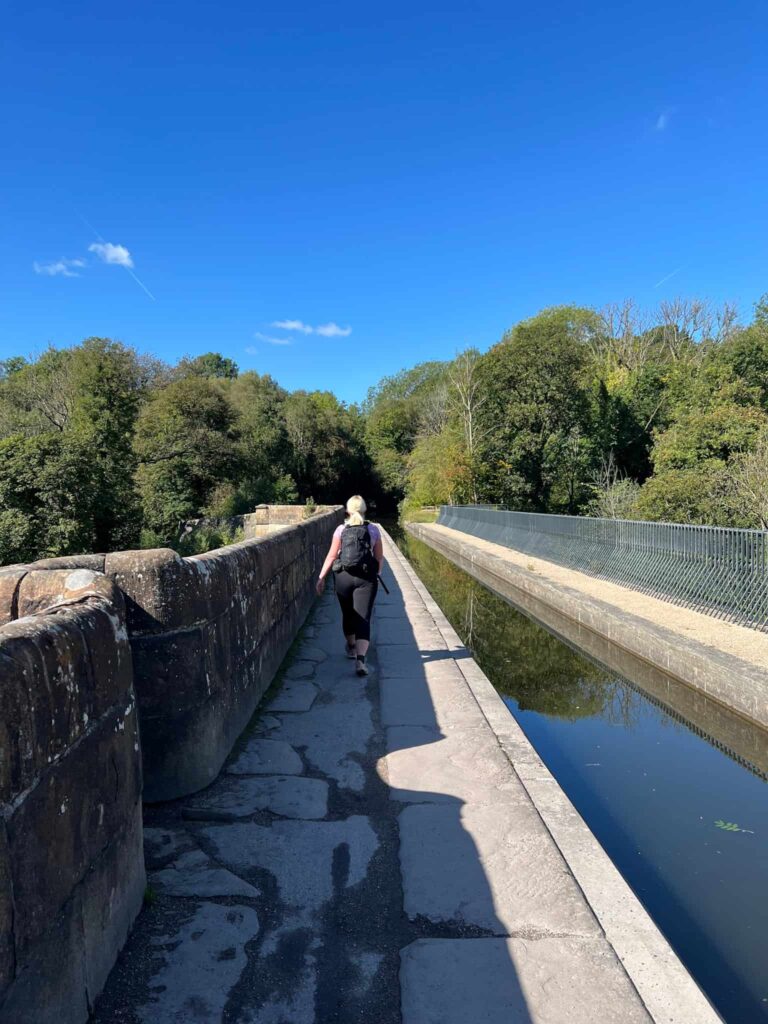
Marple Aqueduct
Known as the “Grand Aqueduct”, this stunning Grade I listed structure carries the canal high above the River Goyt. It’s the highest aqueduct in England and an absolute highlight of the trail.
Steel Cotton Rail Trail: Marple to Romiley
Walk Details: Marple to Romiley Leaflet

Walk Map (Opens in OS Maps): Steel Cotton Rail Trail: Marple to Romiley Hike
Parking: Marple Station, Brabyns Brow, Marple, Cheshire, SK6 7DA (W3W:///juggled.balconies.brochure).
Dogs: Allowed, but must be on a short lead during nesting season and around livestock.
Facilities: Public toilets at Marple Train Station
Walk Time: 1-2 hours
Difficulty: ▲
Distance: 2.5 miles (4km)
Elevation: 200ft (60m)
Trig Points Bagged: None
Peak District Peaks Bagged: None
Peak District Ethels Bagged: None
Check out the full trail at Steel Cotton Rail Trail