Steel Cotton Rail Trail: Strines to Marple | 3 Miles
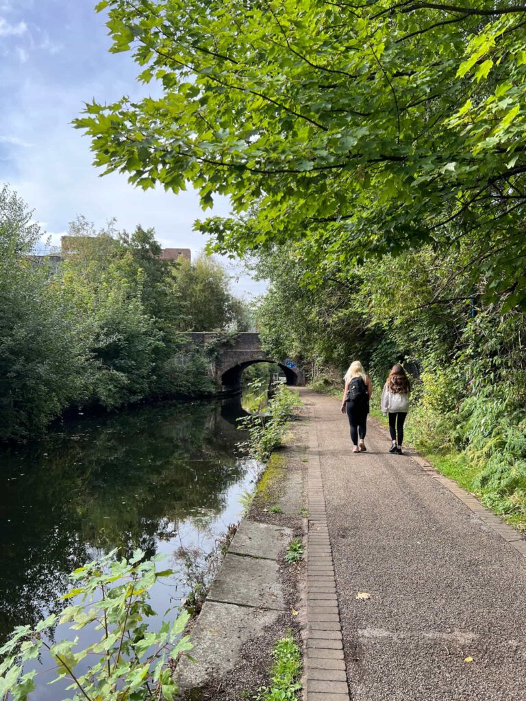
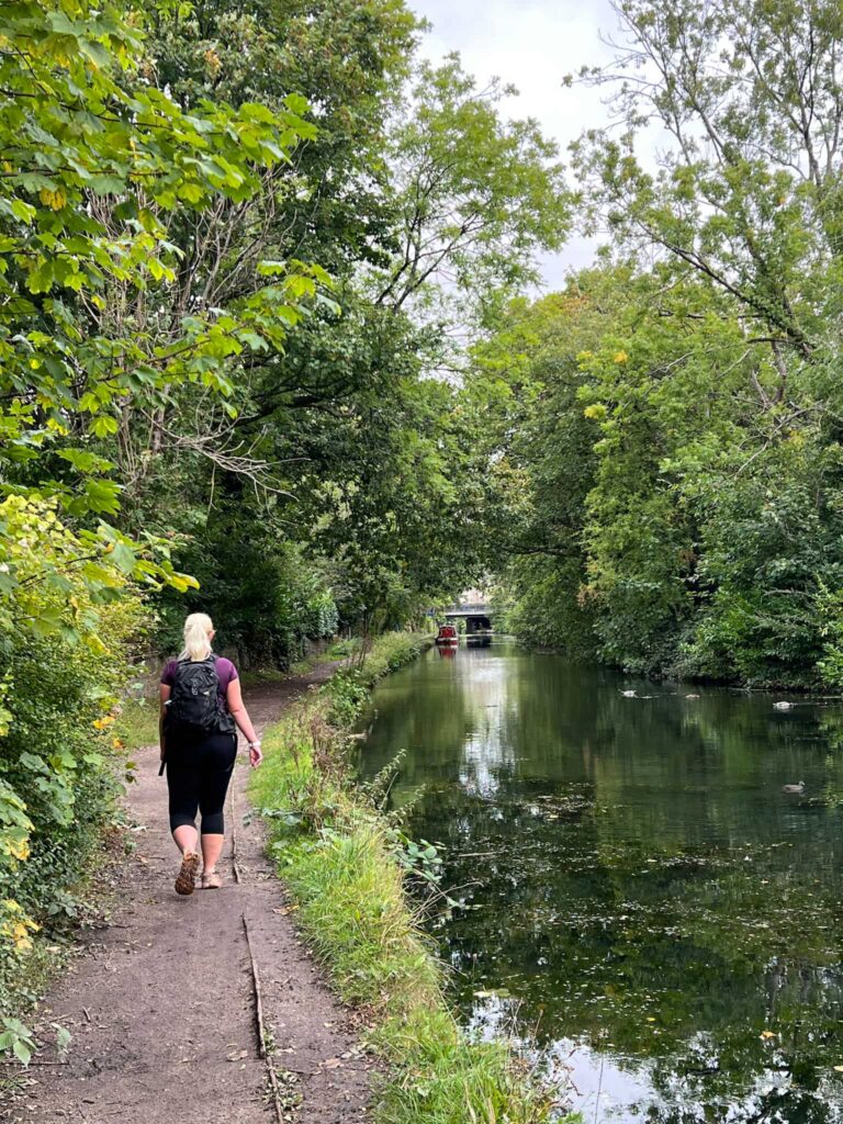
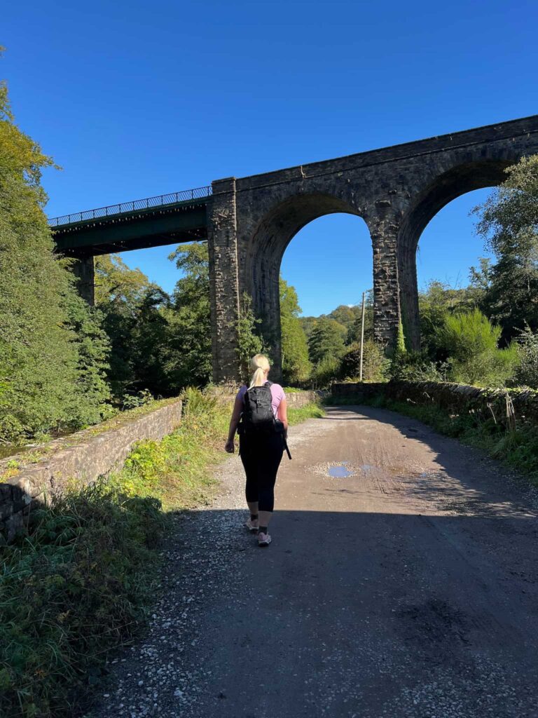
This stage of the Steel Cotton Rail Trail is packed with history. Walking from Strines to Marple takes you past reminders of the area’s industrial past, from old mills to impressive Victorian engineering, all while enjoying some beautiful Peak District scenery.
This post came about after a lovely invite from the High Peak and Hope Valley Community Rail Partnership, who asked me to help spread the word about their new walking trail. I wasn’t paid to do this – I just thought it was a great idea worth sharing.
Walk Highlights
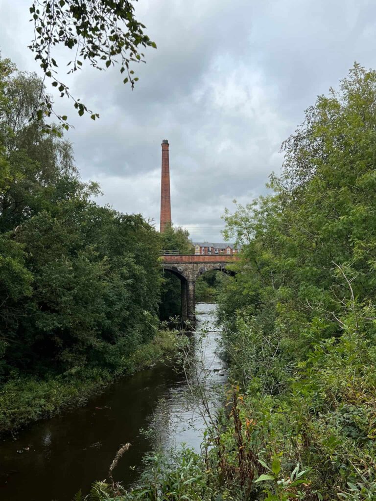
Mellor Mill
Once a vast cotton mill, all that remains today are the ruins, but information boards bring its fascinating history to life.
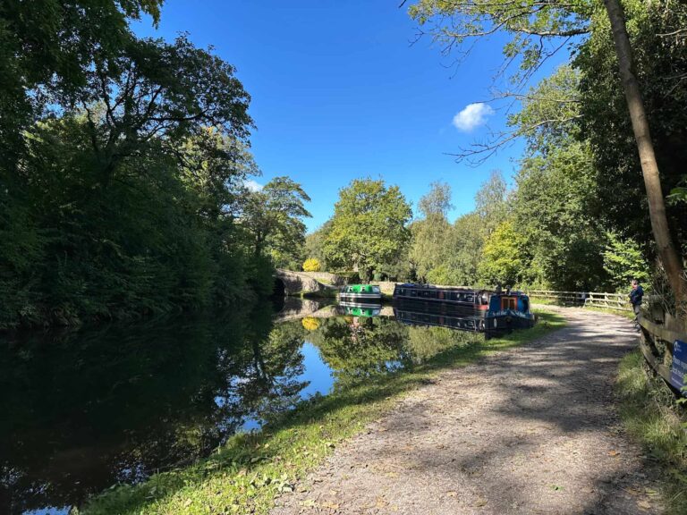
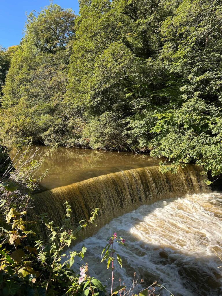
Goytcliff Viaduct and Weir
An impressive spot where old railway architecture meets the flowing River Goyt. A perfect pause point for photos, especially of Floodgates Cottage.
Roman Lakes
These peaceful lakes were once part of the mill workings and later became a popular spot for day-trippers.
Steel Cotton Rail Trail: Strines to Marple
Walk Details: Strines to Marple Leaflet

Walk Map (Opens in OS Maps): Steel Cotton Rail Trail: Strines to Marple Hike
Parking: Strines Station, Station Road, Strines, Derbyshire, SK22 3AY (W3W:///blackmail.smoker.trickling).
Dogs: Allowed, but must be on a short lead during nesting season and around livestock.
Facilities: Public toilets at Marple Train Station
Walk Time: 2-3 hours
Difficulty: ▲
Distance: 3.2 miles (5km)
Elevation: 375ft (114m)
Trig Points Bagged: None
Peak District Peaks Bagged: None
Peak District Ethels Bagged: None
Check out the full trail at Steel Cotton Rail Trail