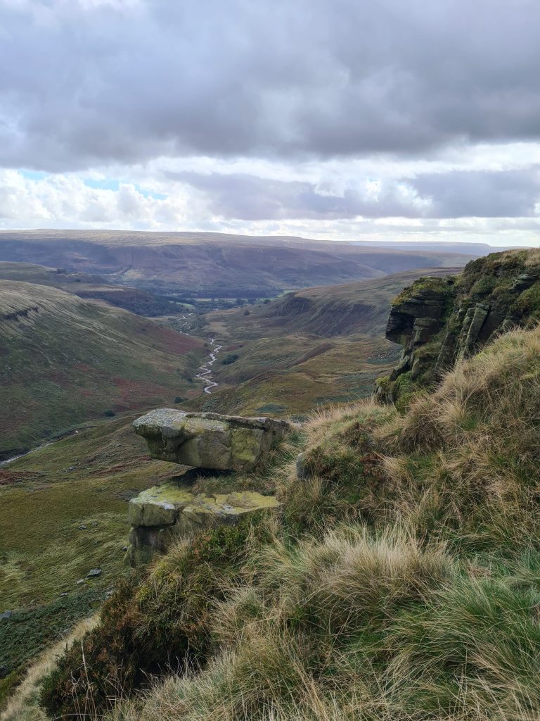
Sheen Hill Trig Point | 6 Miles
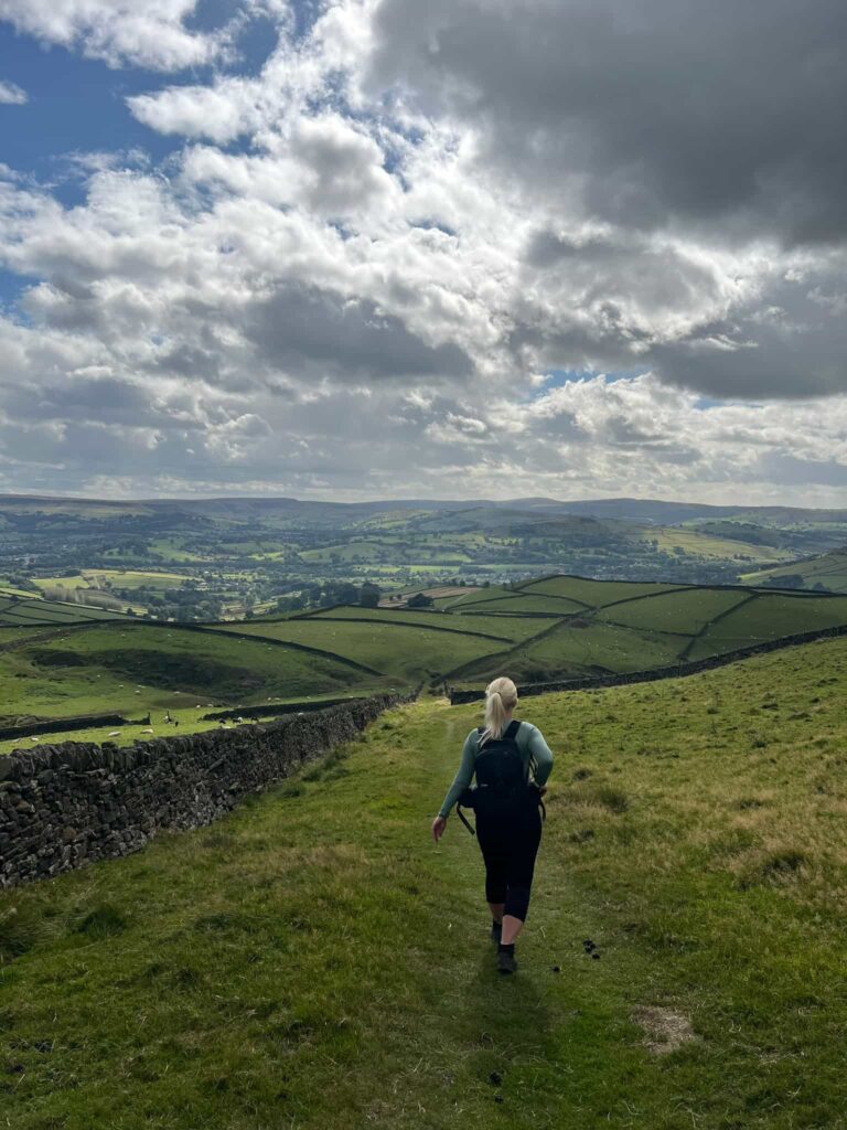
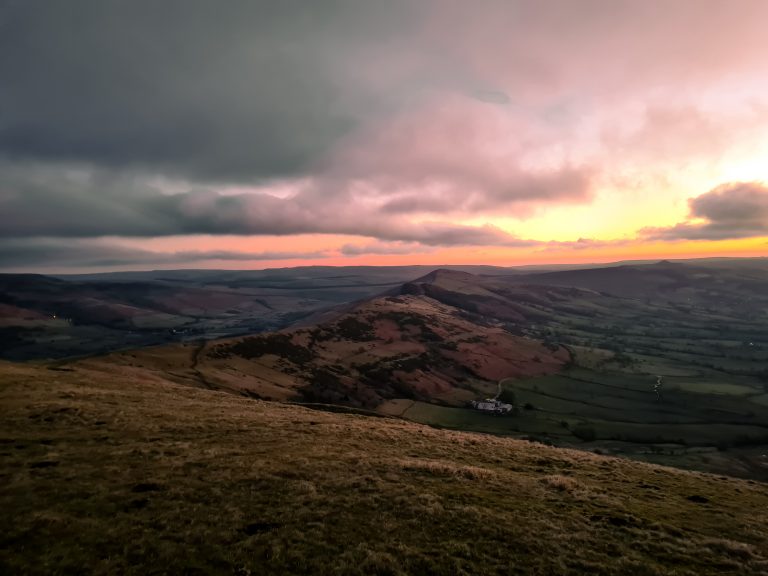
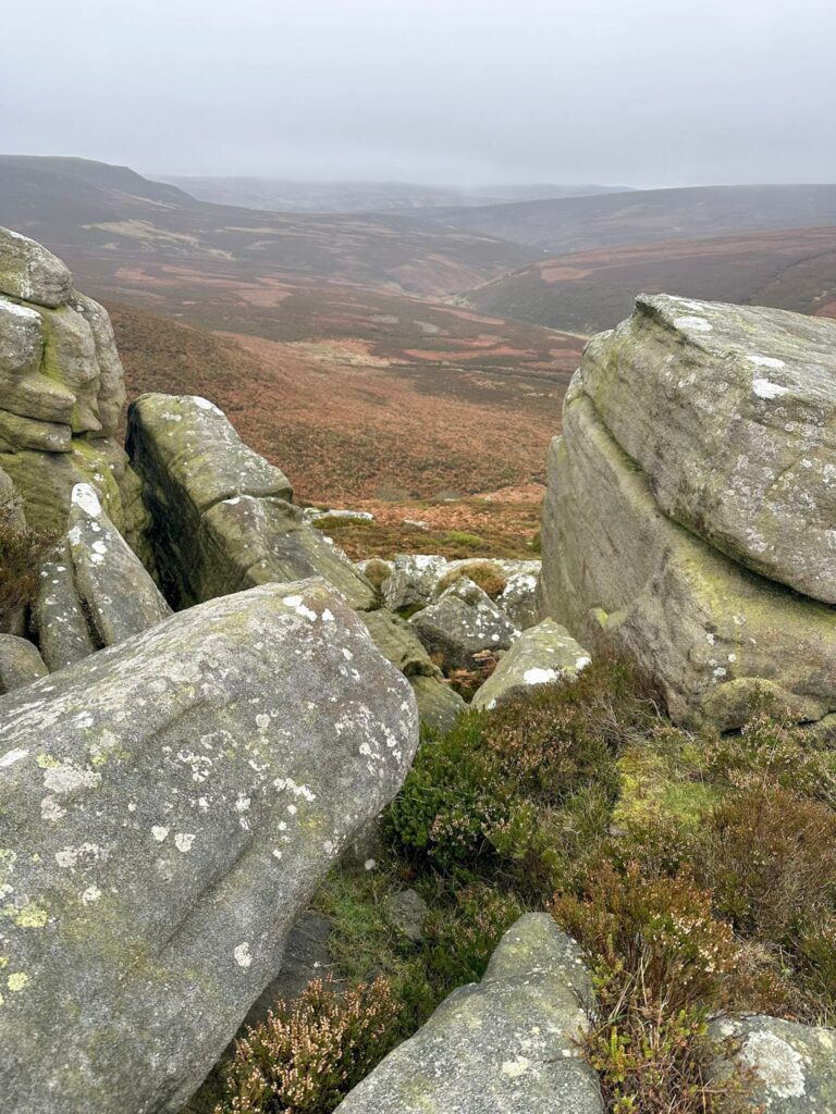
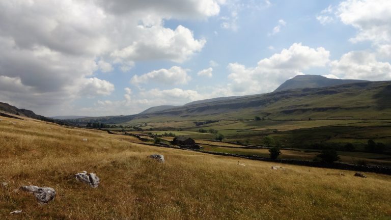
This 6 mile walk starts in the pretty village of Hartington before heading out to explore the beautiful Staffordshire Moorlands. The walk visits Sheen Hill trig point, which has amazing views, and passes near Bank Top trig point.
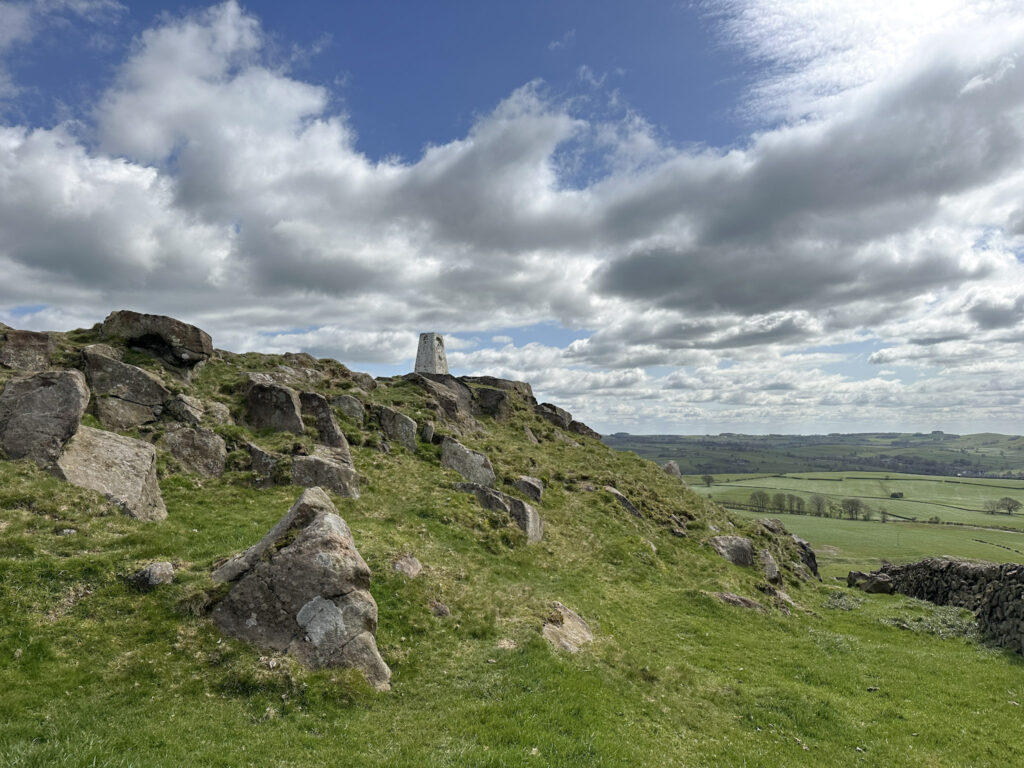
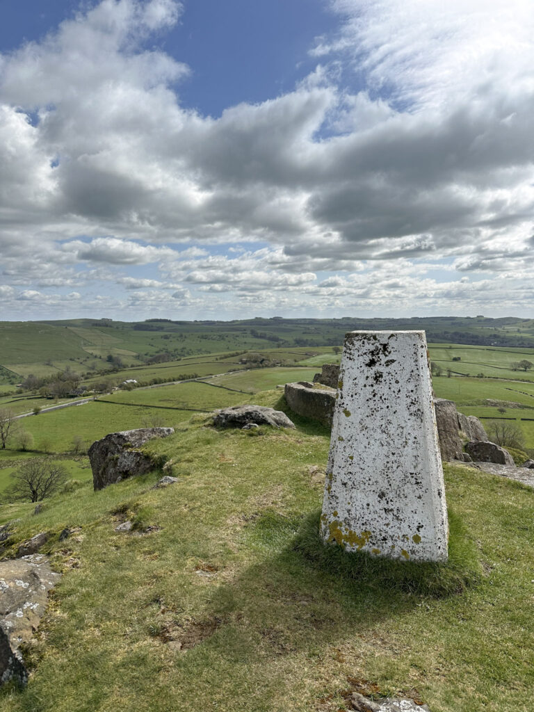
Sheen Hill is a prominent hill at 380m above sea level. The hill itself is privately owned but the landowner has installed a concessionary path allowing access to the trig point from the north-west, which is lovely!
We started our walk in Hartington, a pretty village at the northern end of Dovedale, complete with historic limestone buildings and a picturesque duck pond. From the car park, we headed to the loos then crossed the road to pick up the footpath by the Parsons House B&B. The footpath runs along a dairy farm and crosses a number of fields with very awkward stiles – some are really skinny, some are really high!
We reached the road at Hartington Bridge, crossed the bridge and then joined the footpath leading up the hillside to Beresford Manor. The footpath then skirts the buildings and from here you can see Bank Top trig point – it’s on private land though, so if you want to visit I think it’s best to ask at Bank Top Farm.
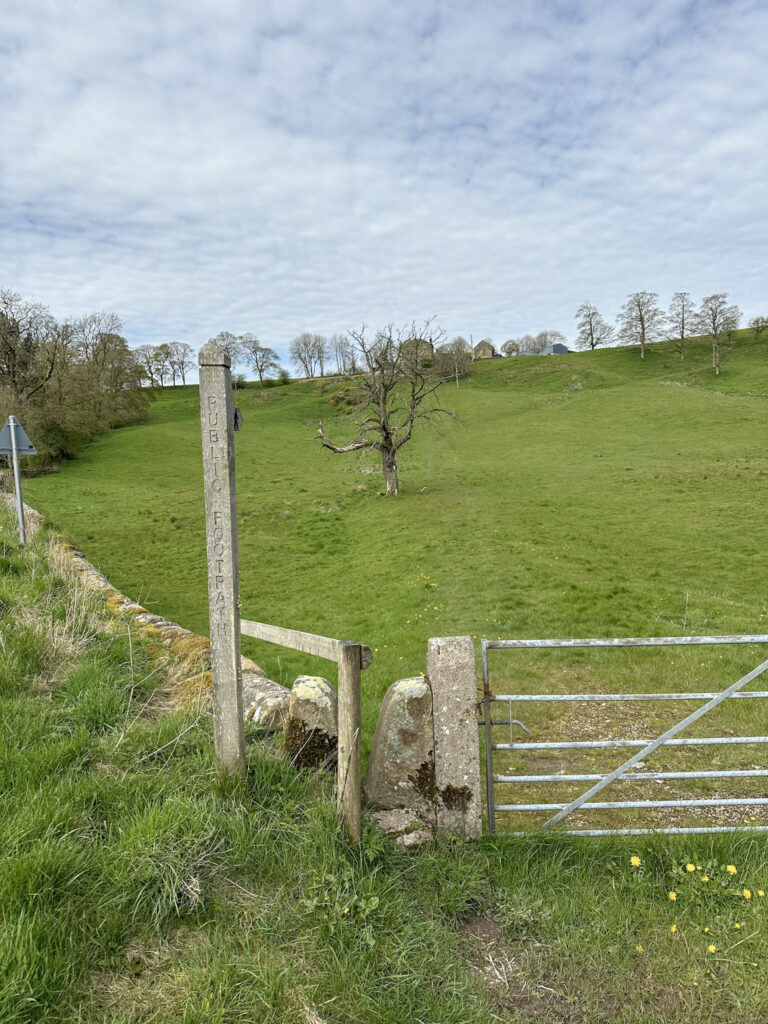
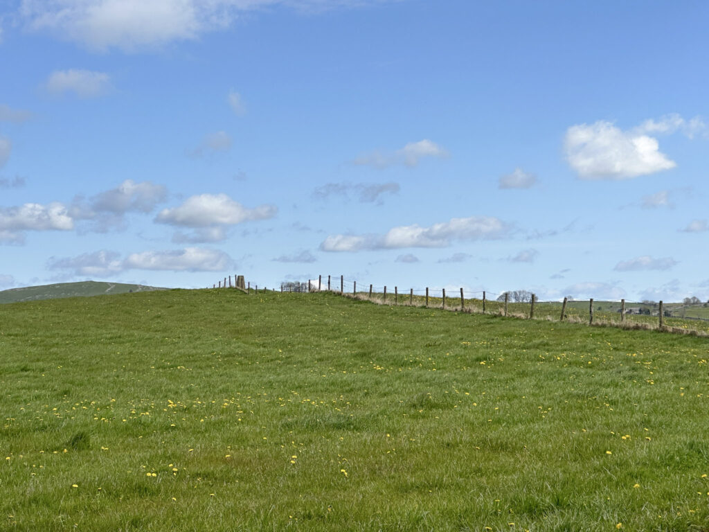
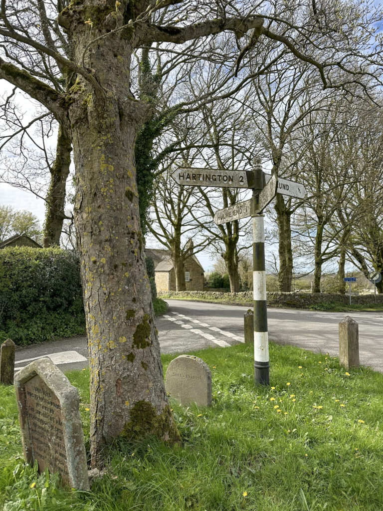
The route goes down the farm track and onto the road again, and you can either take a footpath as we did or follow the road to the T-junction where there’s a tree planted in 1863, marked by a commemorative stone. Turning right at the road junction, we headed along Pown Street which is the main street through the quaint village of Sheen.
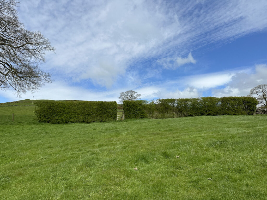
We turned left after the church before picking up another footpath on the right leading across the fields towards Sheen Hill. The route climbs up the hill to a stile in a hedge, and then crosses a field before coming out onto gorse-covered hillside.
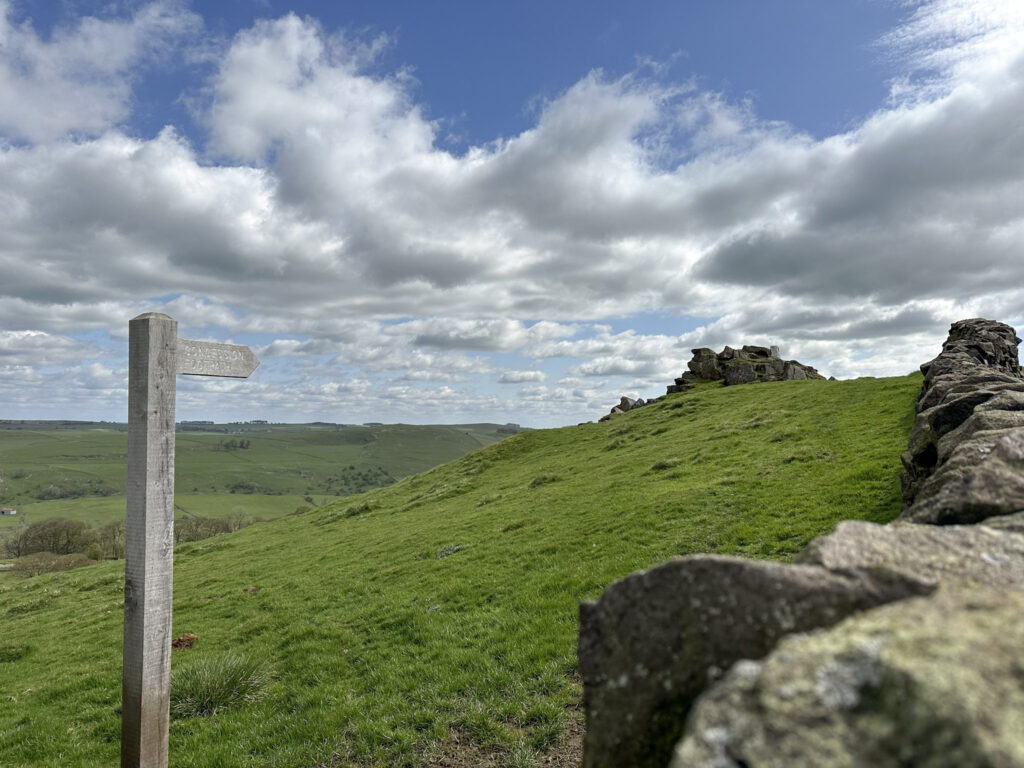
Unfortunately the path to the trig point isn’t here – you have to wind around the hillside and down the farm track to join the road on the northern side of Sheen Hill, and there is a wooden gate with concessionary footpath at the north-west. The path is a simple up-and down, steep in places, but the views from the trig point make the climb really worthwhile.
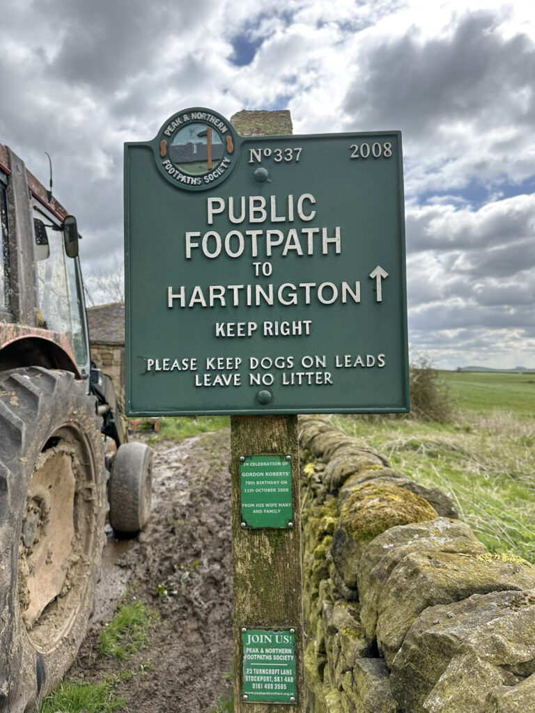
After enjoying the views, we went back down the hillside to the road and picked up the footpath at a farm, marked by a Peak and Northern Footpaths green sign (No 337, if you’re ticking these off). This was a very muddy path along the edge of a field, and we had to climb over a section of barbed wire where a new fence had been installed across the footpath.
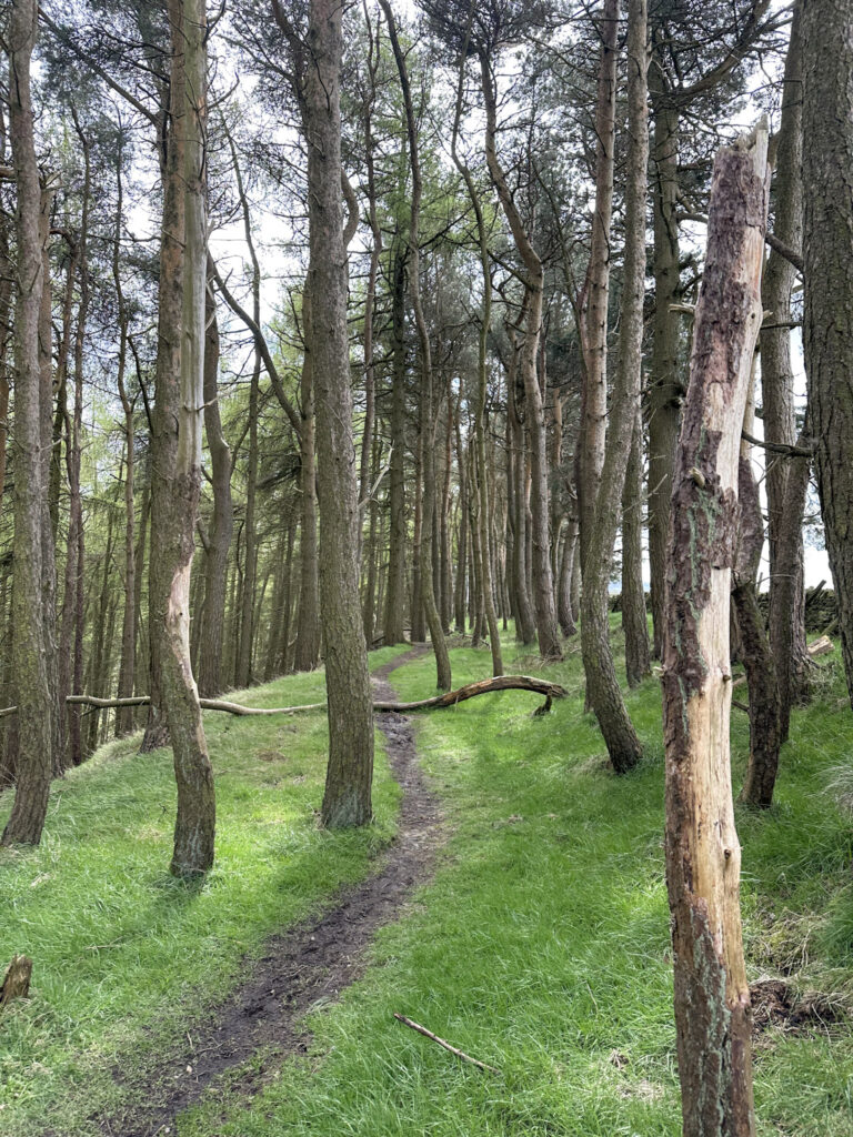
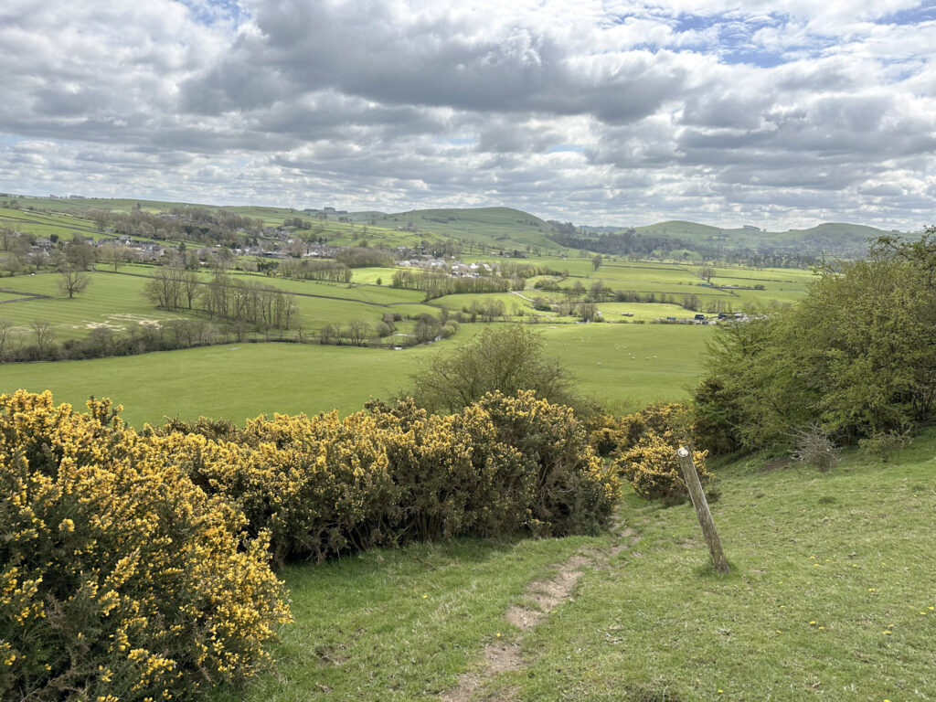
The path carries on, passing through a woodland and then down a gorse covered hillside.
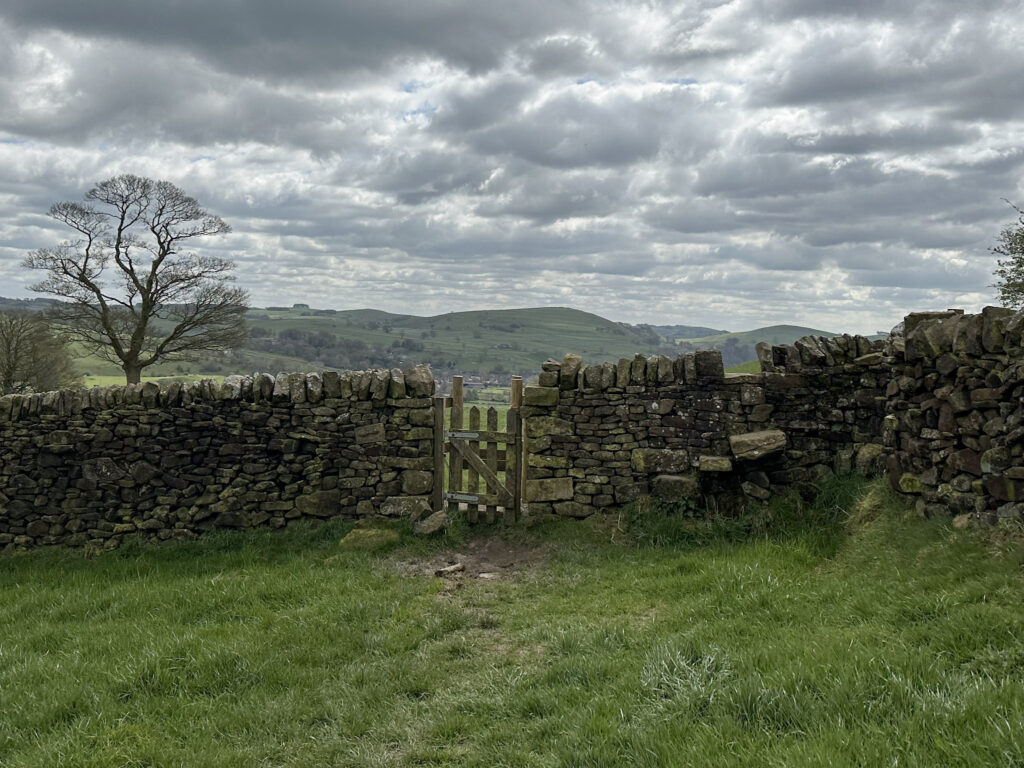
We crossed the stream and continued over the fields before joining one of the roads leading into the main square in Hartington. We headed back to the car park and had a very mediocre lunch at the Charles Cotton Hotel – I wouldn’t recommend the pulled pork sandwich (mine was hot and cold at the same time!). They also don’t want muddy boots in the bar, which is fair enough, so we had to sit outside and it was chilly.
Hartington to Sheen Hill Trig Point Walk Details:
Walk Route in OS Maps: Sheen Hill Trig Point
Parking: Parson’s Field, Parsons Close, Derbyshire Dales SK17 0BE | W3W:///degrading.medium.chickens Pay and Display: £6 for the day
Facilities: There are public toilets and a cafe near the care park.
Walk Time: 2-3 hours
Difficulty: ▲▲
Distance: 6.1 miles (9.8km)
Elevation: 850ft (259m)
Trig Points Bagged: Bank Top, Sheen Hill
Peak District Peaks Bagged: None
Peak District Ethels Bagged: None
For more walks nearby you might like:
Thorpe Cloud, Dovedale Stepping Stones, Bunster Hill and Ilam

