West Nab and Deer Hill Circular Walk | 8.5 Miles
This West Nab and Deer Hill circular walk explores the very northern edge of the Peak District and it’s wild, rugged moorland. This 8.5 mile walk will give you stunning views down the Wessenden Valley, home to numerous reservoirs and waterfalls, and you’ll be able to tick off the West Nab trig point!
I parked on Leygards Road, a country lane, and then followed the road north before turning left onto a track leading onto the moors. I went through the gate and then turned left to follow a path down to a small building (presumably something to do with Yorkshire Water). Over the bridge, I then followed the path through a boggy bit to a wooden gate.
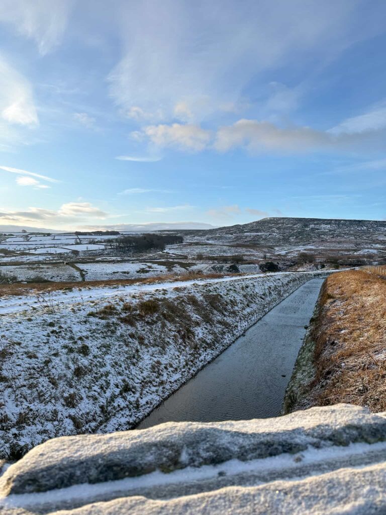
A snowy view of Meltham Catch with Deer Hill in the background
The path runs along a wall next to a small wood, climbing steadily as it reaches the lane leading to Wessenden Lodge. It’s not unusual for there to be cows in this field, and some super cute alpacas in an adjacent one.

I followed the farm track out onto the road and headed right up the road for about half a mile until I passed the infamous Cock Crowing Stone (although the C of Crowing is turning into a G!). A short distance after the Cock Crowing Stone is a random conifer tree on it’s own (I think it’s a conifer, maybe a yew? Could even be a holly!) and there is a stile leading to the path to West Nab.

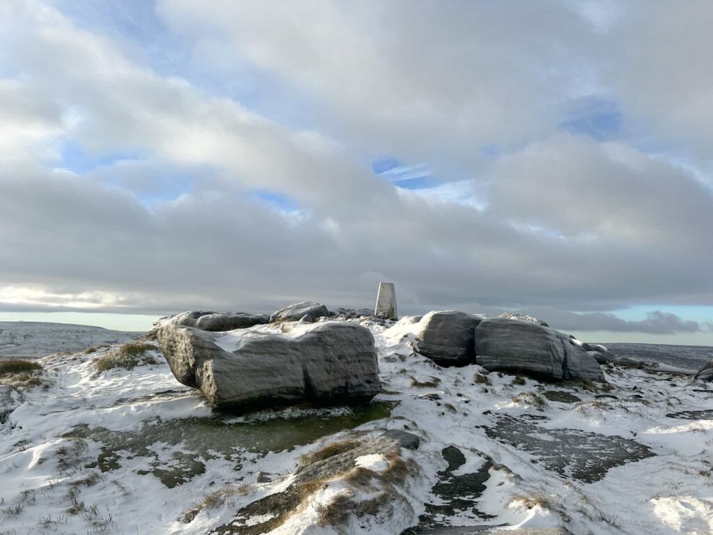
It’s a steady climb up to the rocks, heading east, with the path winding it’s way through the gritstone boulders, passing the remains of an old shelter. It doesn’t take long to reach the summit of West Nab, with it’s amazing rock formations including the Druids Stone with it’s 3 “bowls” (or the Haribo stone, because Hols likes to sit in one of them to eat Haribo).
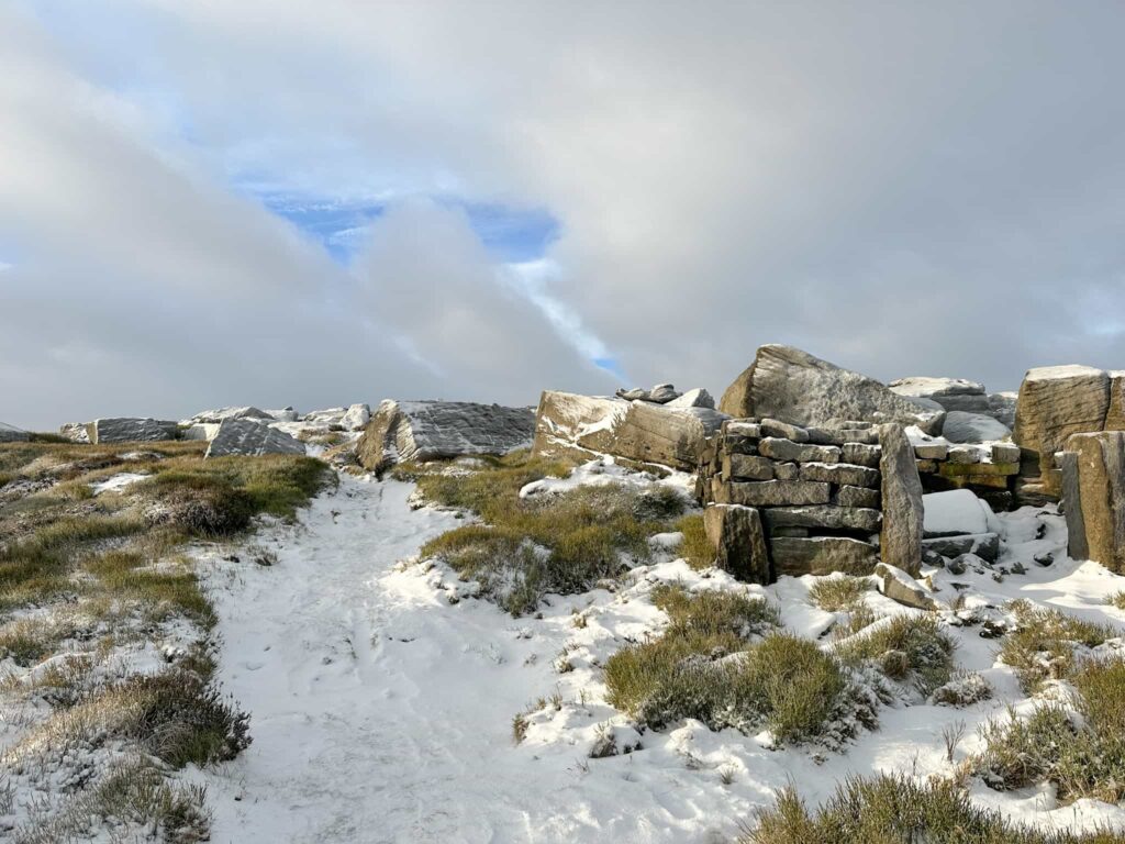

From here I headed off over the rocks to pick up a path that winds it’s way down the moorside alongside Leyzing Clough. The path eventually joins the Pennine Way, but just before it does it splits and the right hand fork stays higher up the moor. I took this fork, and followed the path along Holly Bank Moss, passing a small waterfall and wooden bridge, and onto Horseley Head Moss.

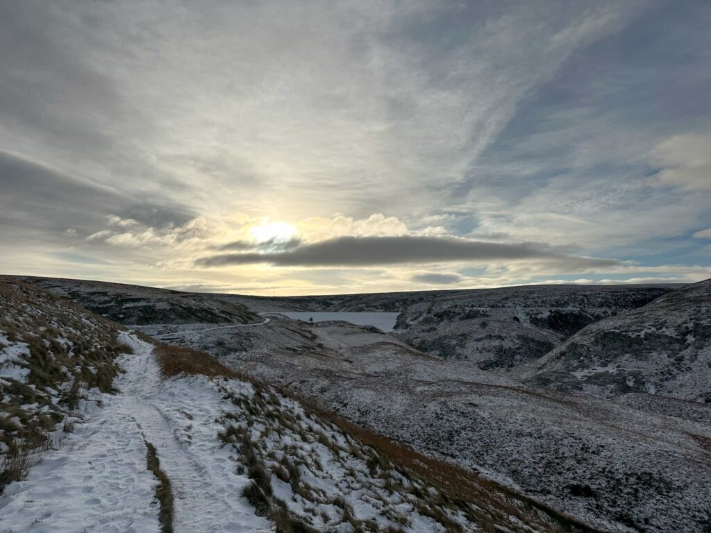
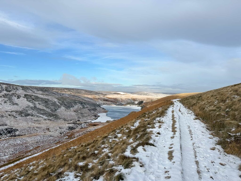
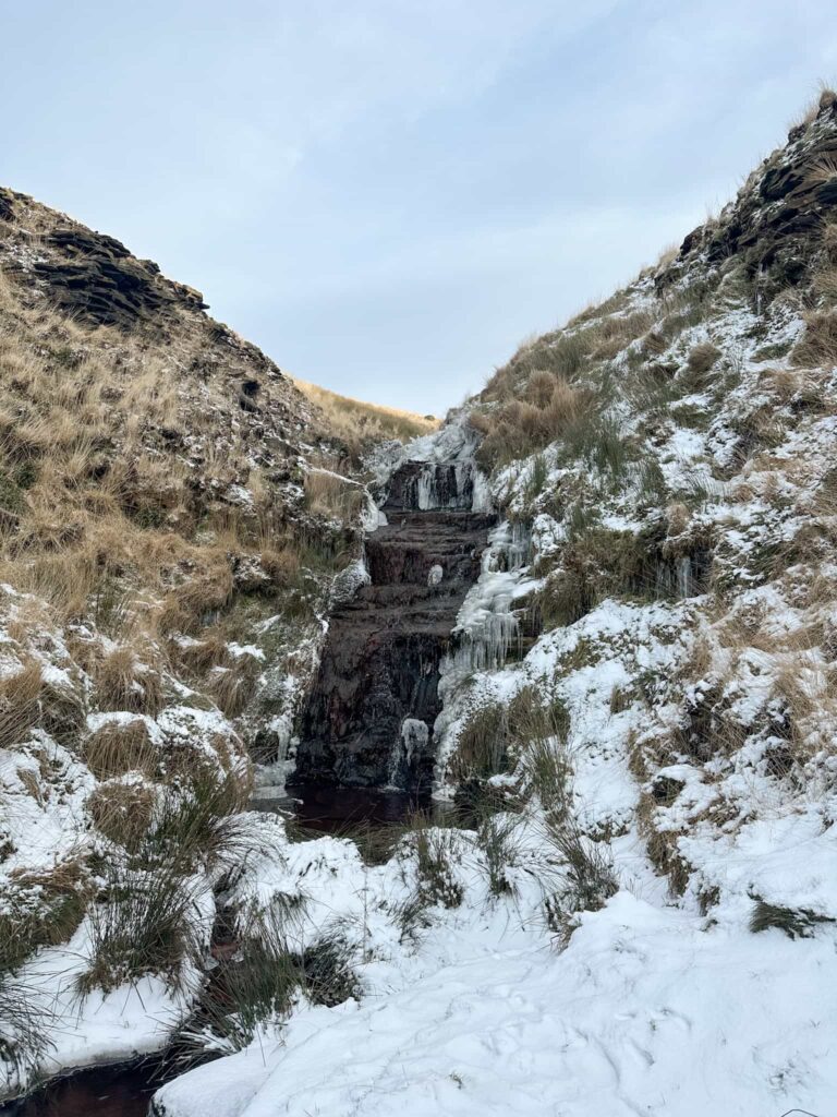
The path heads onto Binn Moor and then follows the Deer Hill Reservoir conduit to the reservoir itself, passing the rifle range at Shooters Nab. It then follows the edge of the Deer Hill Reservoir and heads out onto Deer Hill Road for a short distance. I picked up a footpath which heads over the fields and downhill, back to the gate I passed previously, and then retraced my steps along Red Lane back to the car.


Although it was snowy, and Deer Hill Reservoir was frozen when I did this walk, it’s a beautiful one to do on a dry winters day or in summer, when the moors turn purple with the beautiful heather.
Walk Details:
Walk Map (Opens in OS Maps): West Nab and Deer Hill Circular Loop
Parking: I parked on Leygards Road, Meltham – please park considerately.
Facilities: None
Walk Time: 3-4 hours
Difficulty: ▲▲
Distance: 8.5 miles (13.68km)
Elevation: 1,350ft (411m)
Trig Points Bagged: West Nab
Peak District Peaks Bagged: West Nab
Peak District Ethels Bagged: West Nab
For alternative West Nab walks, why not try:
Exploring the Beautiful Wessenden Valley and West Nab
Black Hill, West Nab and Blackpool Bridge
And for more walks in the Wessenden Valley you might like:


Leave a Reply