• 3 Mile Walks or Less
  • 4 Mile Walks
  • 5 Mile Walks
  • 6 Mile Walks
  • 7 Mile Walks
  • 8 Mile Walks
  • 9 Mile Walks
  • 10 Mile Walks
  • 11 Mile Walks
  • 12 Mile Walks
  • 14 Mile Walks
  • 15 Mile Walks
  • 20+ Mile Walks

The Wandering Wildflower

Peak District Hikes

  • PEAK DISTRICT WALKS
    • SHORT WALKS UNDER 3 MILES
    • MEDIUM WALKS 4-9 MILES
    • LONG PEAK DISTRICT WALKS 10 MILES +
  • PEAK DISTRICT WALKS WITH PUBS
  • PEAK DISTRICT WALKS WITH KIDS
  • HOLMFIRTH WALKS

Triple Trig Walk: Soles Hill, Grindon Moor and Martins Low | 8 Miles

May 13, 2023 MEDIUM WALKS 4-9 MILES, PEAK DISTRICT WALKS, PEAK DISTRICT WALKS WITH PUBS

Pinterest image for 3 Trig Point Walk - Soles Hill, Grindon Moor and Martins Low - The Wandering Wildflower

This 3 trig point walk starts from the pretty Peak District village of Waterfall and explores the Staffordshire countryside near Leek. At 8 miles this walk passes through the ancient woodland of Old Soles Wood and visits three trig points – Soles Hill, Grindon Moor and Martins Low.

Rolling grassy fields with scattered hawthorn trees

Soles Hill trig point is on private land and we asked permission from the farmer at Throwley Moor Farm. The farmer was very helpful and warned us about his cows, sheep and lambs, told us how best to access the trig point and then let us take a shortcut through his field down to Soles Hollow. A huge thank you! 
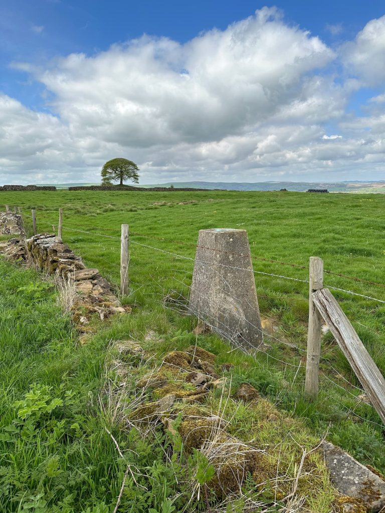
Grindon Moor and Martins Low trig points are roadside trigs, each just over the other side of a wall.


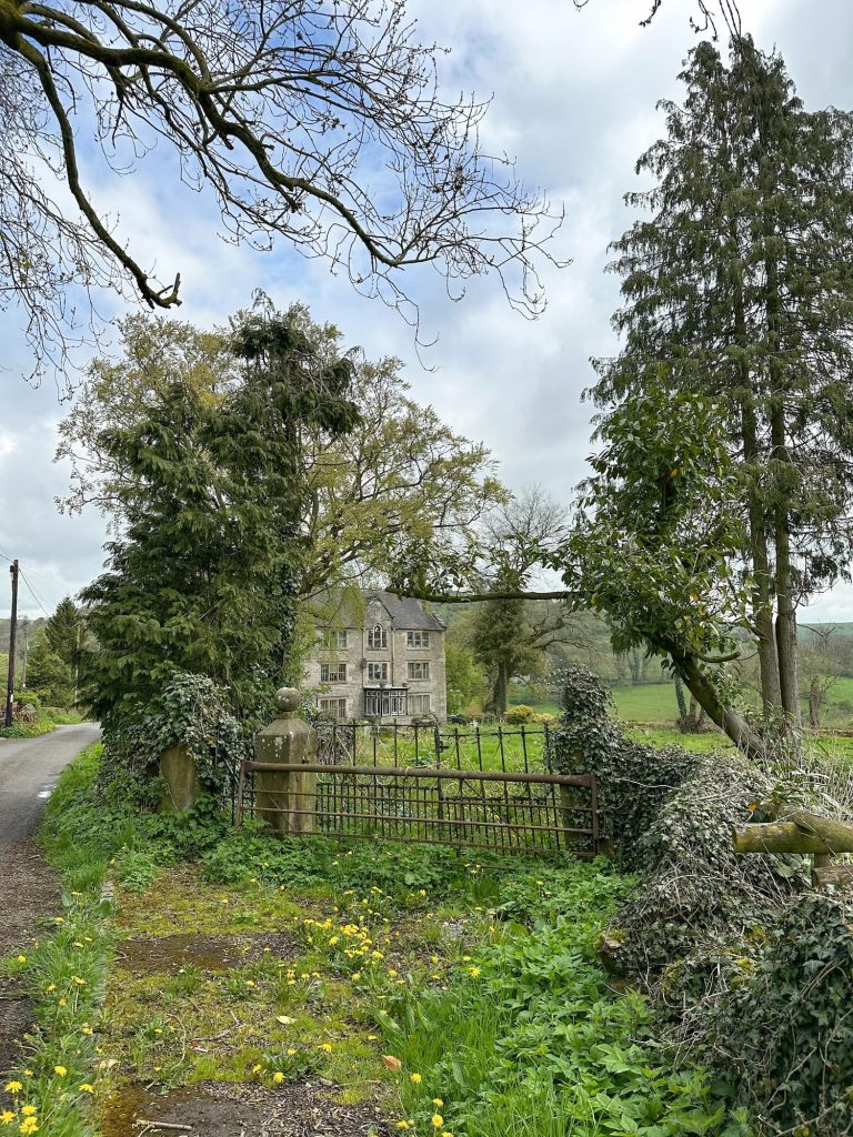
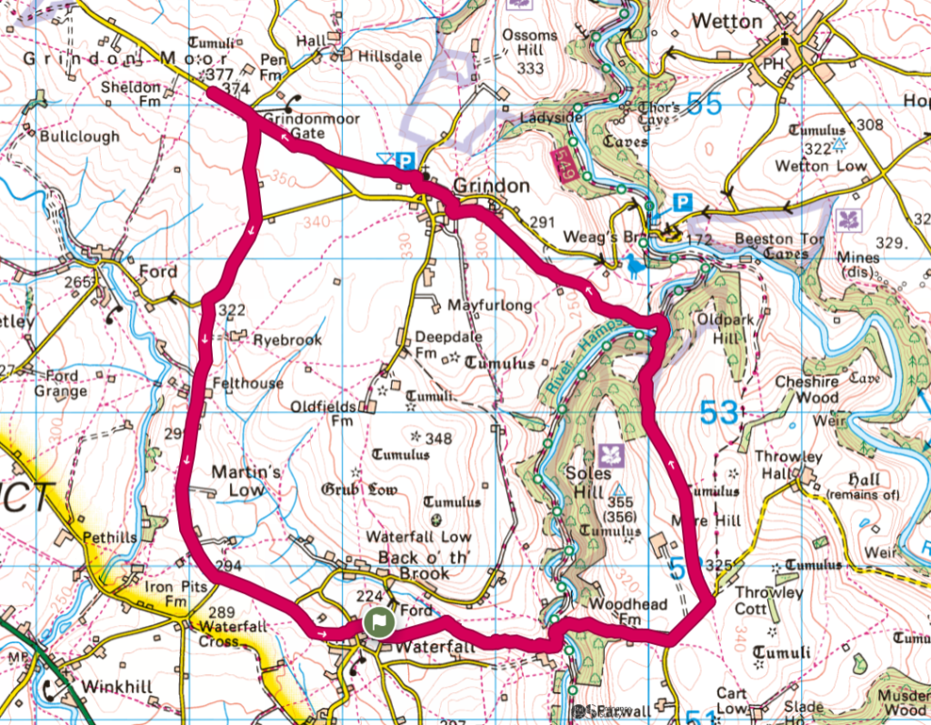
Our walk started in the village of Waterfall. There isn’t actually a visible waterfall in the village, which gets its name from where the River Hamps disappears into an underground watercourse. Parking is very limited here – we parked outside the church then walked out onto the road. The footpath leads past a lovely old house over the fields to the stream.

A dilapidated old manor house


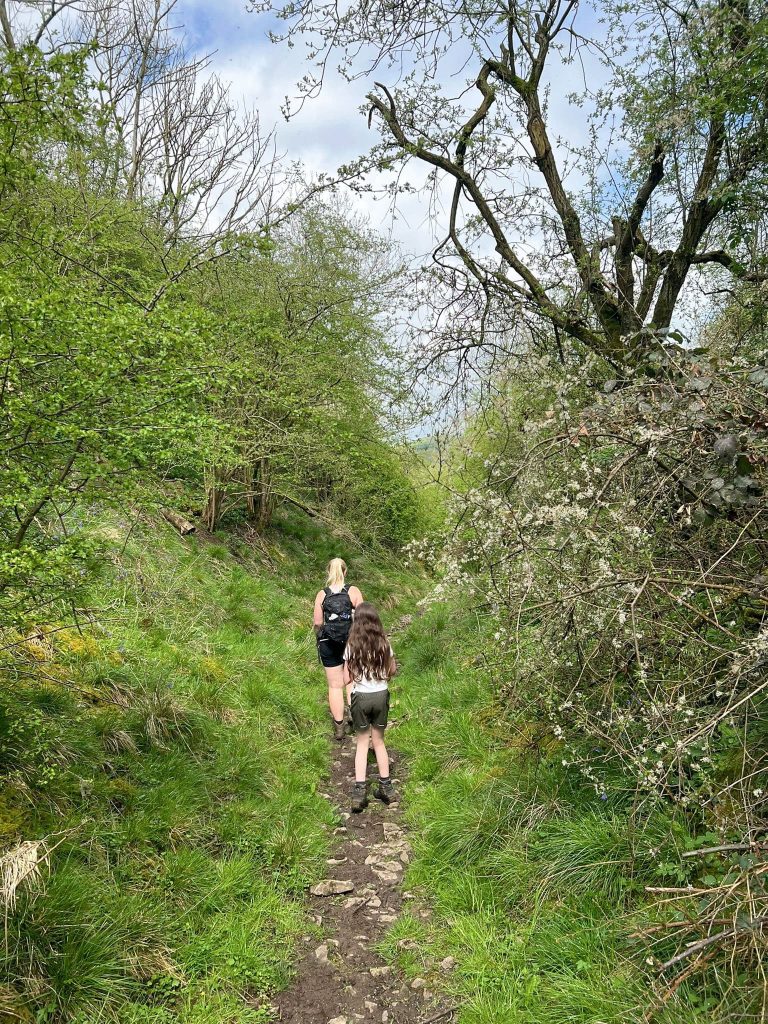
Here it gets a bit confusing – don’t cross the stile, follow the stream a short distance and where the footpath forks take the right hand path through the woods. The path through the woods is steep in places but there were lots of wood anemones blooming.

A wooden gate at the base of a very tall tree

A metal gate and a wooden stile

Don’t go over this stile!

A wooden stile leading to woodland

This is the right stile to go over


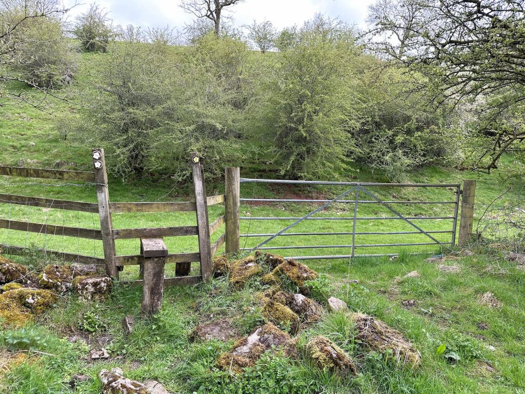
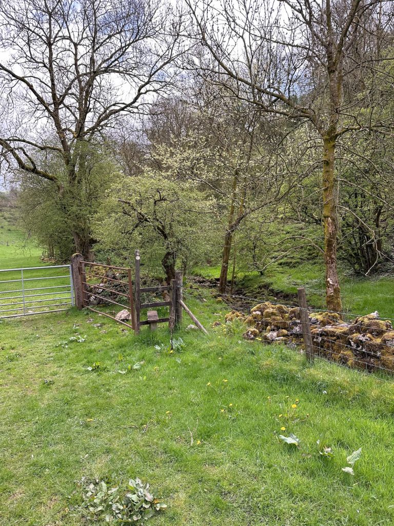
Passing through a gate at the top of the wood we then walked down the field to the Manifold Trail track, before crossing the River Hamps and heading up through an extremely muddy wood. This was very slippery and muddy!


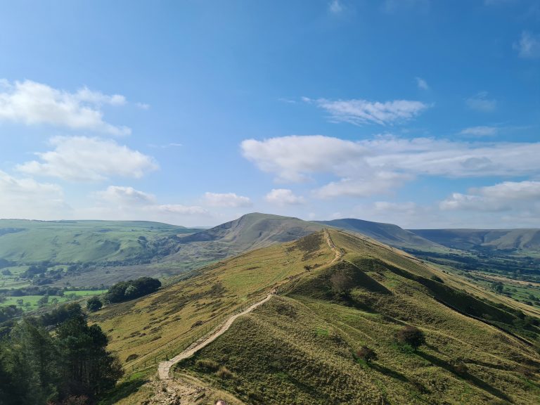
We eventually left the woodland and the footpath brought us out on Farwall Lane, where we picked up the farm track to Throwley Moor Farm. The farmer kindly let us through the farmyard and up the steep hillside to Soles Hill trig point which has stunning views.

A countryside view with rolling green fields and a cloudy sky

Soles Hill trig point, a grey concrete pillar, in a green field

A countryside view with half the image showing a mass of yellow gorse bushes

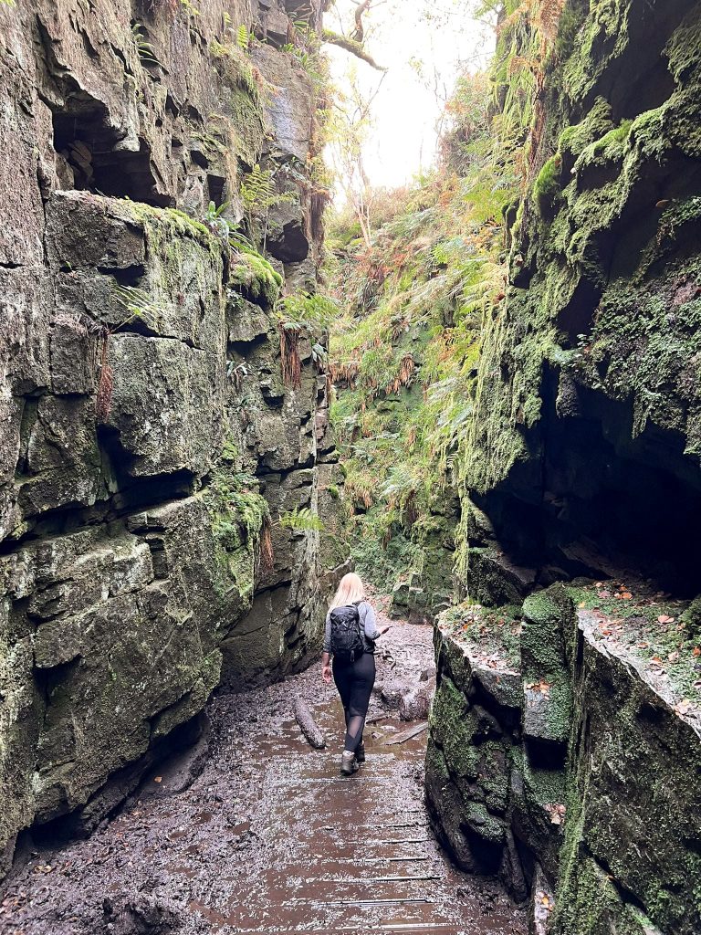
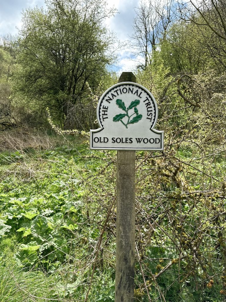
Setting off down the hillside we headed for the wall at the bottom, which runs alongside Soles Hollow, a former ancient track running through Old Soles Wood. The track leads to the Manifold Trail, which we crossed and then found the footpath up through the fields to Grindon.

A wooden sign showing "Public Road, Soles Hollow" in front of a grassy track

A woman and young girl walking through woodland

A National trust sign for Old Soles Wood with woodland in the background


In Grindon we headed up a farm lane through the village to the church and then past the kids play area, and found the footpath over the fields which led out onto Grindon Moor Lane. We walked a short distance up Grindon Moor Lane to bag the trig point then retraced our steps back to the junction, taking a right onto Woodisse Lane.


4 white runner ducks on a grassy country lane

A pretty country lane with a cottage in the distance

Grindon Moor trig point, a grey concrete pillar


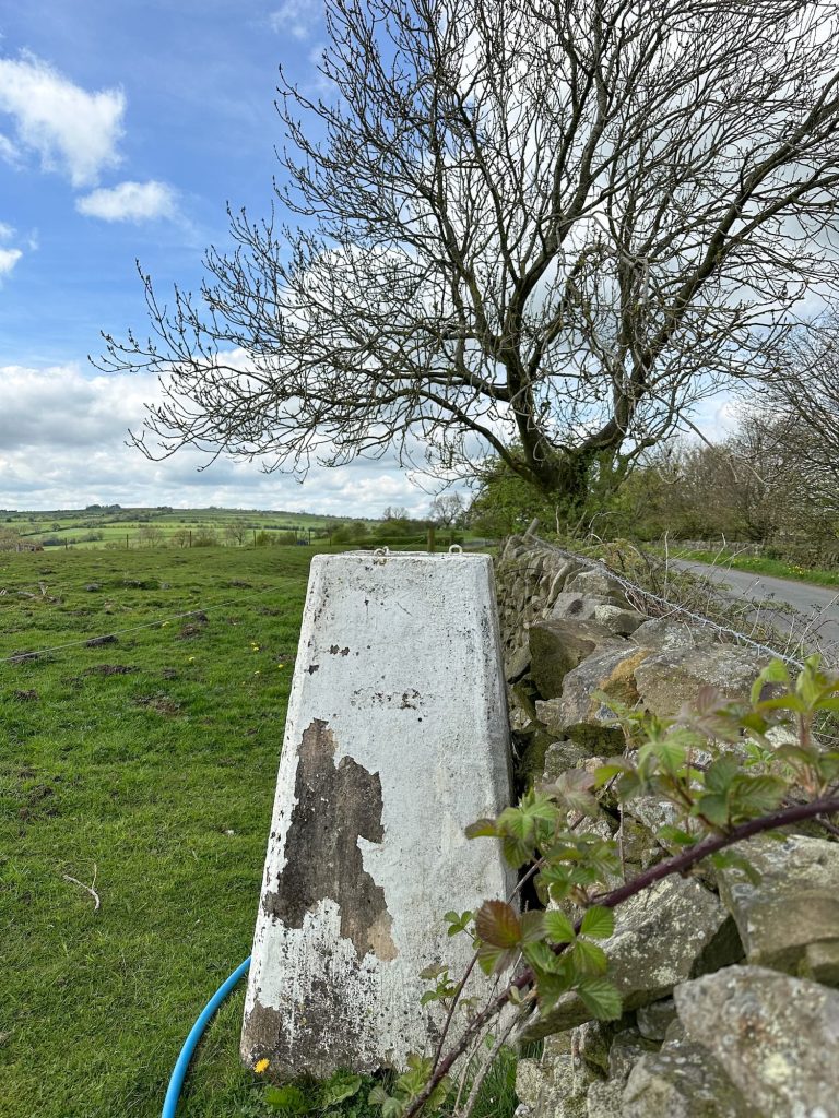
Woodisse Lane becomes Martinslow Lane, and Martins Low trig point is just over a wall on this road.


Martins Low trig point, a concrete pillar with peeling white paint


Martinslow Lane runs most of the way back into Waterfall, and we crossed a field next to the Red Lion Pub (where we had some lunch) before crossing another field back to the church where we parked.


This was a great walk ticking off some of the Peak District trig points, and we got to explore lots of the Staffordshire countryside too.


Soles Hill Trig Point Walk Route Map:


Walk Map (Opens in OS Maps): Soles Hill, Grindon Moor and Martins Low Trig Point Walk

Parking: We parked outside St James and St Bartholomew Church ST10 3JB (What3Words: ///laying.continued.paves)

Facilities: None but there is a pub en-route

Walk Time: 3-4 hours

Difficulty: ▲▲

Trig Points Bagged: Soles Hill, Grindon Moor, Martins Low

Peak District Peaks Bagged: Soles Hill

Peak District Ethels Bagged: None


Tap to share with your hiking friends!

  • Facebook
  • Email
  • WhatsApp
« Rishworth 5 Trigs Walk | 19 Miles
Wibben Hill and Blackstones Low Trig Point Walk | 8 Miles »

RELATED POSTS

  • Three Shires HeadHow to Find Three Shires Head
  • Nelson's Monument on Baslow EdgeThree Monuments Circular Walk From Chatsworth | 7.5 Miles
  • Lathkill Dale waterfallLathkill Dale Waterfall Walk | 7 Miles
  • South Nab Trig Point and Windleden Reservoirs - Peak District Circular Walks - The Wandering WildflowerSouth Nab Trig Point and Windleden Reservoirs | 4 Miles

Leave a Reply Cancel reply

Your email address will not be published. Required fields are marked *

FIND YOUR NEXT WALK:

ABOUT ME

Y Garn with Kids - Y Garn via the Devil's Kitchen Walk in Ogwen Valley

Hello! I’m Jo! Welcome to The Wandering Wildflower, an outdoors lifestyle blog focusing on family walks in the Peak District, a place we love exploring. I want to share the Peak District hidden gems and show you there’s so much more than the honeypot places. When I’m not dragging my husband and now 11 year old out on Peak District walks or up mountains, I can be found on planning my next moorland walk or plotting a Geocache walk (and seeing where the nearest pub is!). I love the hills but hate the heights, so trig bagging is – er- fun!


I hope this blog will give you some ideas of places to visit in the Peak District and inspire you and your family to head into the great outdoors.  Thanks for stopping by!

CATEGORIES

  • CIRCULAR WALKS (189)
  • HOLMFIRTH WALKS (27)
  • ISLE OF SKYE WALKS (3)
  • LAKE DISTRICT WALKS (24)
  • LANCASHIRE WALKS (2)
  • LONG PEAK DISTRICT WALKS 10 MILES + (42)
  • MEDIUM WALKS 4-9 MILES (137)
  • PEAK DISTRICT SCRAMBLES (16)
  • PEAK DISTRICT WALKS (205)
  • PEAK DISTRICT WALKS WITH KIDS (76)
  • PEAK DISTRICT WALKS WITH PUBS (60)
  • SCOTLAND WALKS (6)
  • SHORT WALKS UNDER 3 MILES (40)
  • SNOWDONIA WALKS (5)
  • UK CAMPING (5)
  • YORKSHIRE WALKS (33)

Peak District Walks

List of Peak District Ethels

Peak District Peak Bagging

Peak District Trig Point Challenge

Peak District Walks with Pubs

Peak District Walks with Kids

Beautiful Walks in Holmfirth

Short Walks in the Peak District

Long Walks in the Peak District

AFFILIATE DISCLOSURE

This blog may contain affiliate links through which, at no additional cost to you, I may earn a small commission. I only recommend products I would use myself and all opinions expressed here are my own. As an Amazon Associate I earn from qualifying purchases. Read full privacy policy here.

ARCHIVES

PEAK DISTRICT WEATHER

Peak District mountain weather on Met Office

Peak District Trig Points

Promo image for a blog post about the Peak District Trig Point Challenge With Map of Peak District Trig Points and Walking Routes by The Wandering Wildflower

Peak District Ethels Challenge

Promo image for a blog post about the Peak District Trig Point Challenge With Map of Peak District Ethels and Walking Routes by The Wandering Wildflower

WALKING ROUTES STRAIGHT TO YOUR INBOX

Want new walks in your inbox? Drop your email below and I'll send you some ideas for walks you can try.

You can unsubscribe anytime. For more details, review our Privacy Policy.

Thank you!

You have successfully joined our subscriber list.

RSS LATEST POSTS

  • How to Find Three Shires Head
  • Burnbank Fell, Blake Fell and Gavel Fell | 8 Miles
  • Bretton Park Circular Walk | 3 Miles
  • Hathersage Stepping Stones Walk | 7 Miles
  • Peak District Caves

FOLLOW ON PINTEREST

Want new walks in your inbox? Drop your email below and I'll send you some ideas for walks you can try.

You can unsubscribe anytime. For more details, review our Privacy Policy.

Thank you!

You have successfully joined our subscriber list.

jo@thewanderingwildflower.co.uk

The Wandering Wildflower

  • Email
  • Facebook
  • Instagram
  • Pinterest
  • PRIVACY POLICY
  • TERMS & CONDITIONS
  • ABOUT

(c) The Wandering Wildflower. All Rights Reserved.

|| THEME BY ECLAIR DESIGNS