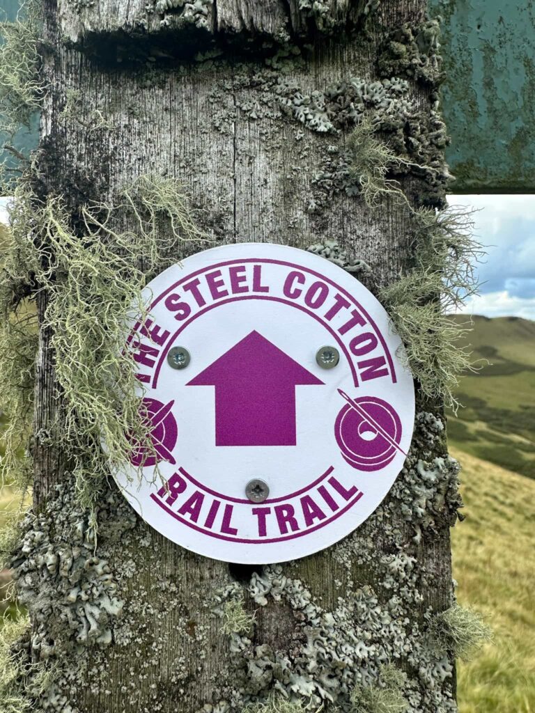
Steel Cotton Rail Trail
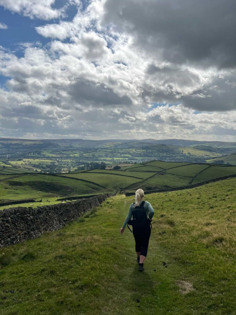
If you’re looking for a long-distance walk that combines history, nature, and easy access via public transport, the Steel Cotton Rail Trail is a perfect choice. This trail stretches from Sheffield to Manchester, threading through the heart of the Peak District and offering a unique glimpse into the region’s industrial past.
This post came about after a lovely invite from the High Peak and Hope Valley Community Rail Partnership, who asked me to help spread the word about their new walking trail. I wasn’t paid to do this – I just thought it was a great idea worth sharing.
What is the Steel Cotton Rail Trail?
The Steel Cotton Rail Trail is a community-led initiative that repurposes former railway lines into a walking route. Named after the steel industry of Sheffield and the cotton mills of Manchester, the trail follows the historic Hope Valley Line, connecting the two cities through scenic landscapes, tranquil canals and charming villages.
The beauty of this trail lies in its accessibility. Each section begins and ends at a train station, allowing walkers to explore the route in manageable stages and return easily by train. Whether you’re a seasoned hiker or someone looking for a leisurely stroll, there’s a section for everyone.
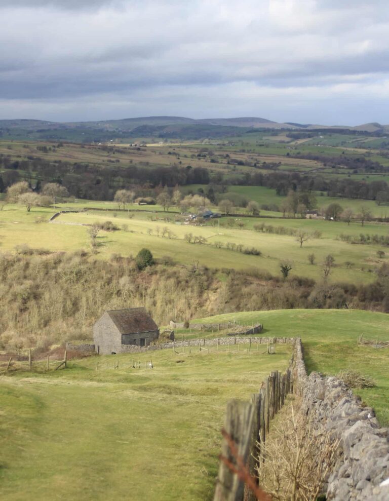
Along the way there are nods to the area’s industrial heritage, such as the canals, mills and packhorse routes once used to transport goods between Sheffield and Manchester.
How Long is the Steel Cotton Rail Trail?
The trail runs from Sheffield to Manchester and is 62.8 miles (101km) in length.
Steel Cotton Rail Trail GPX
Here is a GPX file of the whole route as we walked it. I’ve seen on another site a GPX file which is really different, especially in the Edale to Chinley section and the Guide Bridge to Manchester sections, but this is the correct one, following the routes, *actually* walked and recorded as we go.
Steel Cotton Rail Trail – Manchester to Sheffield (opens in OS Maps)
Steel Cotton Rail Trail – Sheffield to Manchester (opens in OS Maps)
Steel Cotton Rail Trail Stages:
If you want to complete this trail in stages, you can get maps and GPX files for each one below:
Sheffield to Dore & Totley | 5 Miles
The Sheffield to Dore & Totley section of the Steel Cotton Rail Trail makes a gentle start to the journey, swapping the bustle of the city for leafy green spaces in no time.
Dore & Totley to Grindleford | 6 miles
This section starts on the edge of Sheffield and quickly moves into the countryside. Expect expansive moorland views, woodland paths and a chance to shake off the city streets.
Grindleford to Hathersage | 2.5 miles
Following quiet lanes and valley paths, this stretch takes you past charming farmland and the River Derwent. Perfect for easing into the Peak District scenery.
Hathersage to Bamford | 3.5 miles
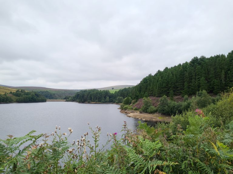
A gentle riverside walk with wide views of the Hope Valley. This section is ideal for spotting local wildlife and enjoying the peaceful countryside.
Bamford to Hope | 2.5 miles
Continuing through the valley, you’ll pass open fields and rolling hills. A relaxed stage with plenty of room to enjoy the landscape.
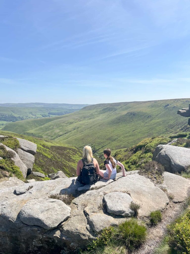
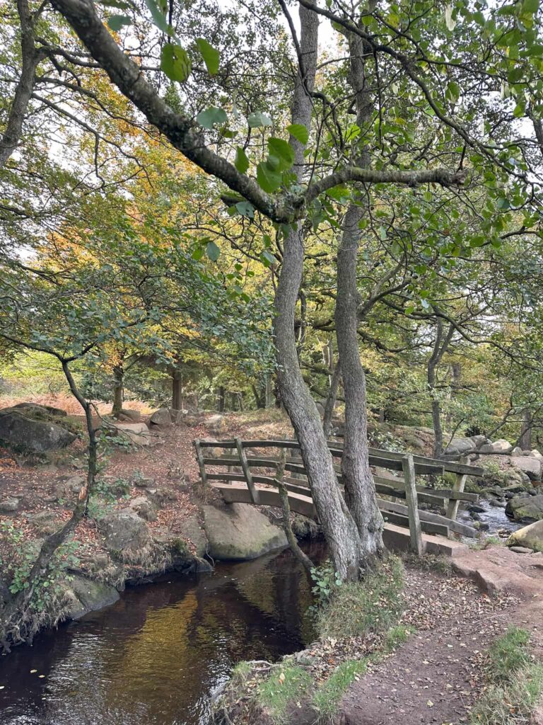
Hope to Edale | 7 miles
This section offers a variety of higher and lower level walking, exploring the Hope Valley and Edale Valley, following in the footsteps of jaggers and packhorses as they made their way from Sheffield to Manchester.
Edale to Chinley | 8 miles
A slightly more challenging section that moves into the heart of the Peaks. Expect rugged paths and great views of the surrounding fells.
Chinley to New Mills | 5 miles
This 5-mile walk takes in Bugsworth Basin and the Millennium Walkway, combining industrial heritage with riverside charm.
New Mills to Strines | 2 miles
A short and pleasant stretch along the valley, following well-made paths with glimpses of the river and local villages.
Strines to Marple | 3 miles
This stage takes you past reservoirs and open moorland, giving a real sense of being away from the city while still staying on well-defined trails.
Marple to Romiley | 2.5 miles
A mix of quiet streets, canal paths, and green spaces, easing you closer to the suburbs and urban edges as the trail heads toward Manchester.
Romiley to Hyde Central | 4 miles
Mostly level paths along the old railway and canal, a gentle stage that’s easy to walk at a steady pace.
Hyde Central to Guide Bridge | 3.5 miles
An accessible section linking local villages and parkland, with plenty of options for stopping off along the way.
Guide Bridge to Manchester | 6 miles
The final stage brings you into the city, following canal paths and green corridors. A satisfying finish to a long trail with plenty of urban charm.
This blog may contain affiliate links through which, at no additional cost to you, I may earn a small commission. I only recommend products I would use myself and all opinions expressed here are my own. Read full privacy policy here.
If you’re planning to walk a few stages, you can park your car at the one end, catch the train to the start and then walk back to your car. We found this worked really well! It would also be a great walk to do over a long weekend if you like a longer day of walking, stopping off along the way.
You could walk from Sheffield to Hope and stay over in Hope for the first night.
The next stage could be from Hope to Whaley Bridge.
Let me know if you walk the trail!


This is a fantastic trail. I have just done stages 2 and 3 today and LOVED it.
Please will you let me know where I can get hard copies of the route maps. I have the first four stages but it seems that all of the leaflets have gone from Sheffield station. I couldn’t see any at Dore &Totley, Grindleford or Hathersage.
Thank you
Hi Andy! I don’t know if hard copies are available unfortunately – you could reach out to https://peakdistrictbytrain.org/the-steel-cotton-rail-trail/ and ask if there are any about. I’m glad you enjoyed the trail – it’s really lovely!