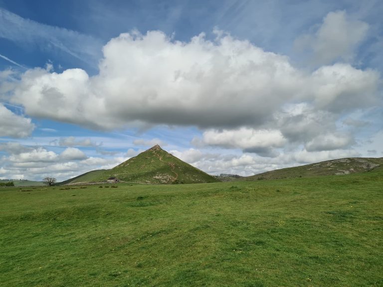
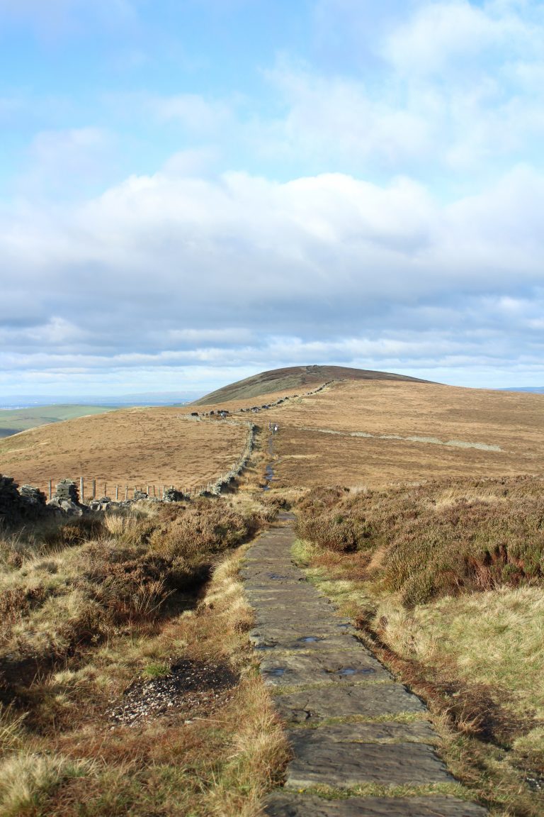
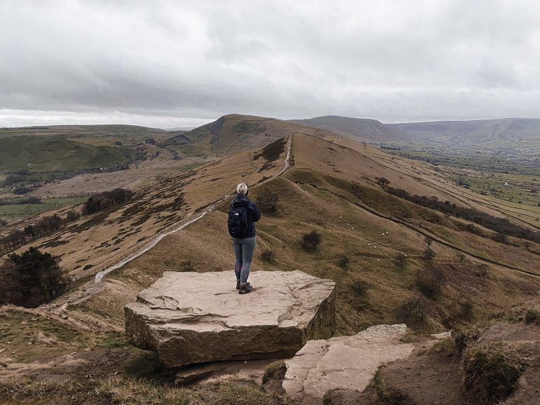
Teggs Nose to White Nancy Circular Walk | 7 Miles
This Peak District walk (just) takes you from Teggs Nose to White Nancy, exploring the beautiful countryside near Macclesfield and Bollington with its rolling hills and farmland. This 6.5 mile walk starts in the Teggs Nose Country Park.

What is White Nancy?
White Nancy is an unusually shaped structure on Kerridge Hill in Bollington, visible for miles around. It was built as a summer house or folly in 1817 to commemorate the victory at Waterloo. Originally White Nancy was a single room structure with a doorway, but this has since been sealed up. The structure is usually painted white but has had various designs painted on it in the past, including various Christmas themed designs, Remembrance poppies and more. The name comes from the name of the lead horse who transported all the materials for building the structure. How lovely!
White Nancy is a popular landmark on the Gritstone Trail, and the Peak District Boundary Walk also runs past. The Gritstone Trail is a 34 mile (55km) trail following the gritstone edges between the Peak District and the Cheshire Plains.
This Teggs Nose to White Nancy walk starts in the Teggs Nose Country Park car park. We headed out onto the road and after a short distance crossed over to pick up a footpath over the fields near the kennels. We walked over the fields, crossed Buxton New Road and headed down the hill, following the Gritstone Trail.
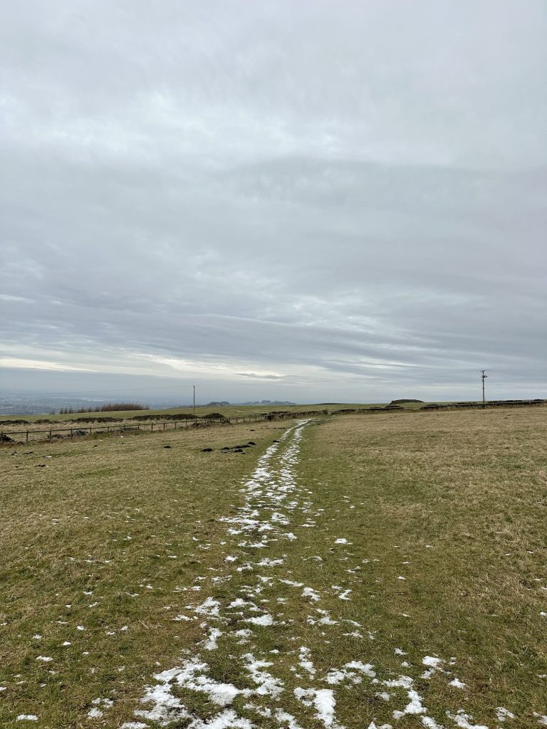
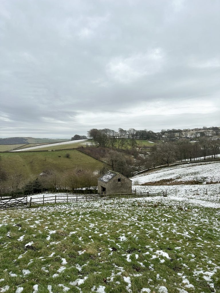
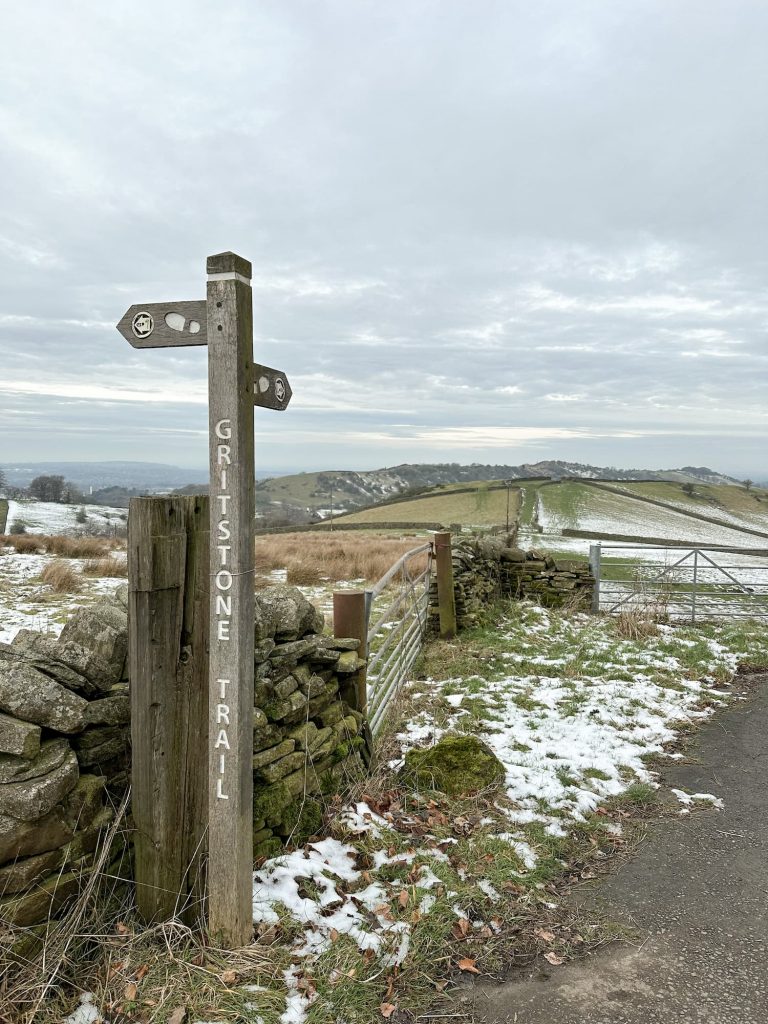
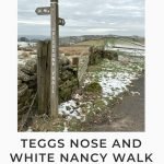
The Gritstone Trail is well marked and takes you through meadows full of native flowers (in Spring and Summer). There was no such loveliness when we visited sadly – we just had a lot of grass and mud!
Following the Trail, we soon headed out onto Berristall Lane and then wandered down to Tower Folly, a small castle in someone’s garden! We turned left out onto Hawkins Lane before picking up a footpath which led downhill, then we walked through farmland and a small copse.


We passed a smallholding with some of the best chickens ever (with very 1980s style hair!) and then picked up a track leading up to White Nancy. There is a short steep climb to the top, with part of the path being steps.
White Nancy has amazing views in most directions, including the mountains of North Wales and the Pennines to the North and East.
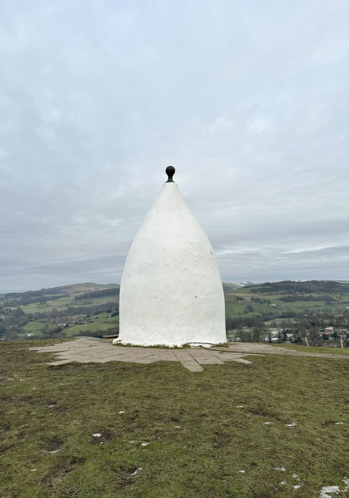
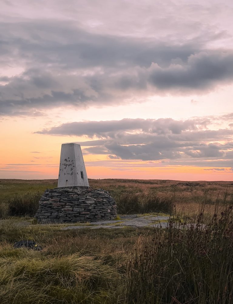
We set off south from White Nancy over the ridge of Kerridge Hill towards the trig point at the summit of Kerridge Hill.
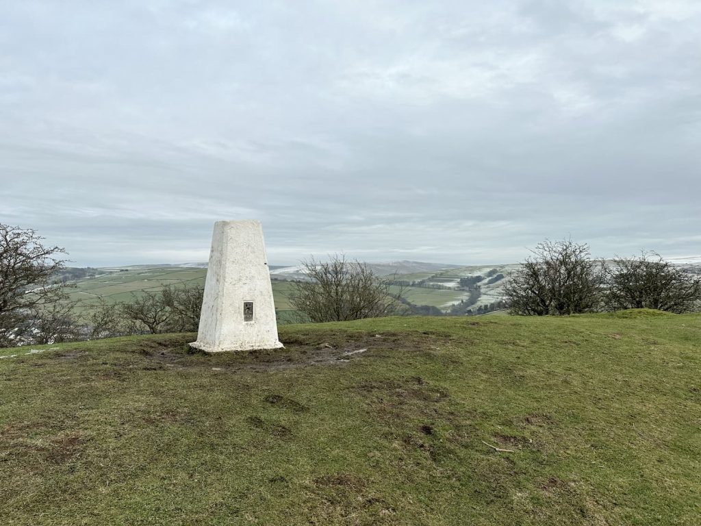
Trig point bagged, we made our way carefully down Kerridge Hill. It was very muddy and slippery, and I nearly ended up falling over a few times!
The footpath leads out onto Rainow Road, which we followed for a short distance. The footpath takes you up a driveway into a cattle farm, and the footpath isn’t very clear (on the map you’ll see we had a minor detour!). Head round to the right once you’re in the farm yard, and to the left hand side of the large metal gate there is a super skinny wooden pallet gate you can get through and which will put you on the right footpath.
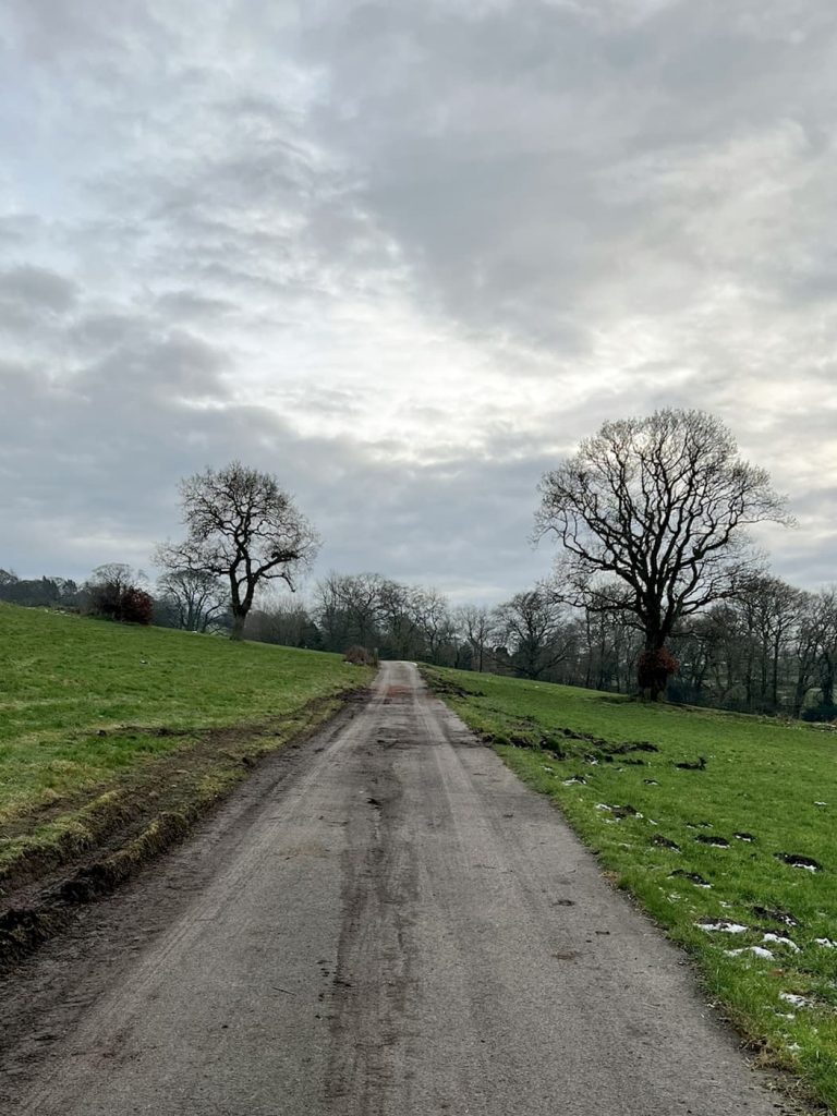


We then set off over the fields, before heading up over Back Eddisbury Road. At the junction, we turned left onto an unmade track which brought us almost back to the Teggs Nose Country Park car park.
This walk gave us a small taste of the Gritstone Trail, and I’m sure we’ll get round to walking the whole thing at some point soon.
Teggs Nose to White Nancy Walk Map:
Walk Map (Opens in OS Maps): White Nancy and Kerridge Hill Trig Point
Parking: Tegg’s Nose Country Park, Buxton Old Road, Macclesfield, Cheshire SK11 0AP W3W:/// lengthen.textiles.envelope (Pay and Display)
Facilities: Toilets and tea rooms in the car park
Walk Time: 2-3 hours
Difficulty: ▲▲
Distance: 6.6 miles (10.6km)
Trig Points Bagged: None (Kerridge Hill isn’t on the Peak District trig points list)
Peak District Peaks Bagged: None
Peak District Ethels Bagged: None
