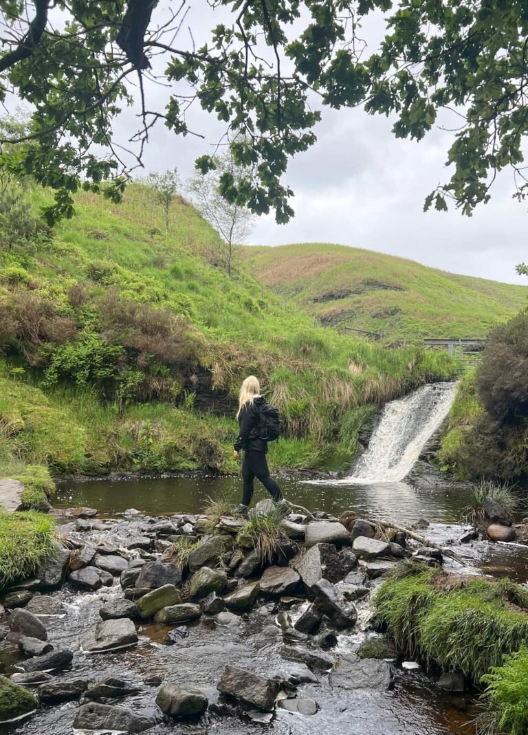
Thorpe Cloud, Dovedale and Ilam Park Walk | 8.5 Miles
This 8.5-mile circular walk takes in some of the most iconic scenery in Derbyshire – the famous Dovedale stepping stones and soaring limestone pinnacles, the wooded slopes of Dovedale Woods, the open riverside path along the River Dove, and the gorgeous National Trust estate of Ilam Park. Oh, and there’s the small matter of climbing Thorpe Cloud – one of the most satisfying little summits in the Peak District with stunning views.
It’s a walk that covers a lot of ground in the best possible way. You’ll go from open riverside to ancient woodland, from a dramatic conical hill summit to a sweeping parkland estate, all within 8.5 miles. Dovedale is one of the most visited valleys in England but once you get past the stepping stones this route pushes into much quieter countryside before reaching Ilam Park.
Moderate in difficulty and rewarding from start to finish, this is a walk that showcases the very best of the White Peak.
Thorpe Cloud, Dovedale and Ilam Park Walk Overview
- Facilities – Car park and toilets at Dovedale, National Trust tearoom at Ilam Park.
- Distance – 8.5 miles
- Difficulty – Moderate
- Route type – Circular
- Start point – Dovedale car park, Thorpe
- Terrain – Riverside paths, woodland, open hillside, parkland
Highlights of the Walk
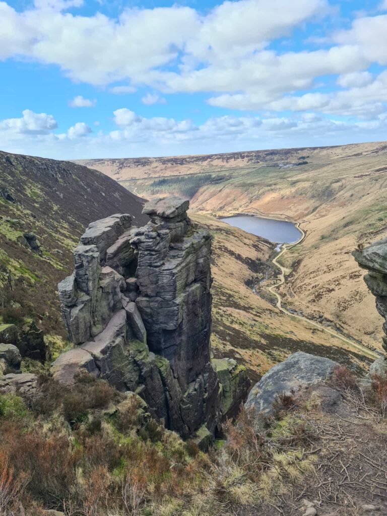
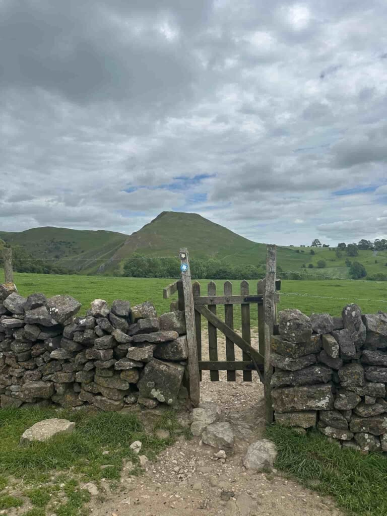
- Climbing Thorpe Cloud – a steep but short ascent to one of the Peak District’s most iconic summits, with spectacular views down the length of Dovedale from the top
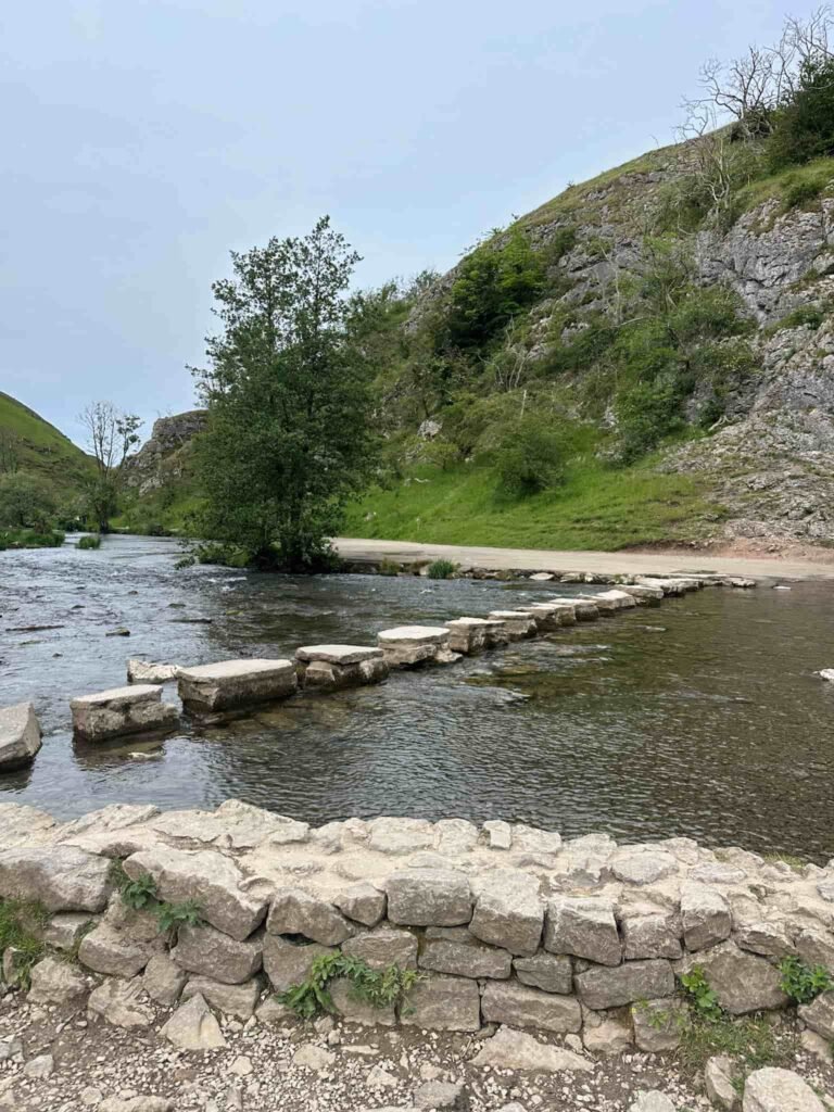
- The famous Dovedale stepping stones – one of the most photographed spots in the Peak District, where flat stones cross the River Dove at the foot of the valley
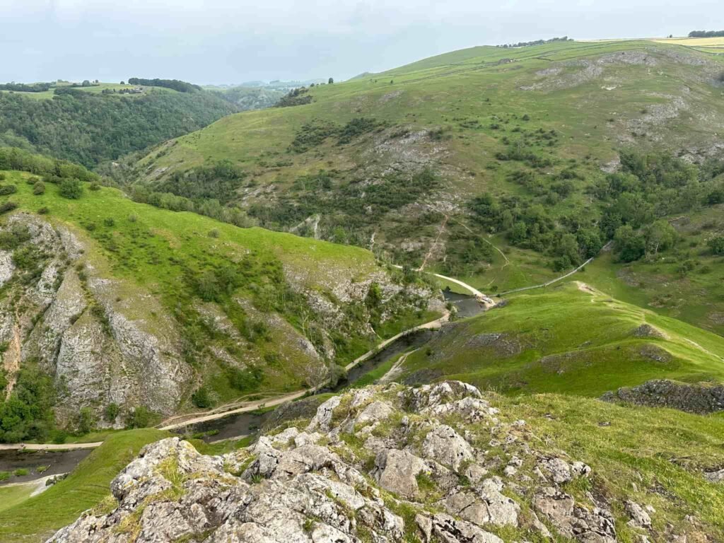
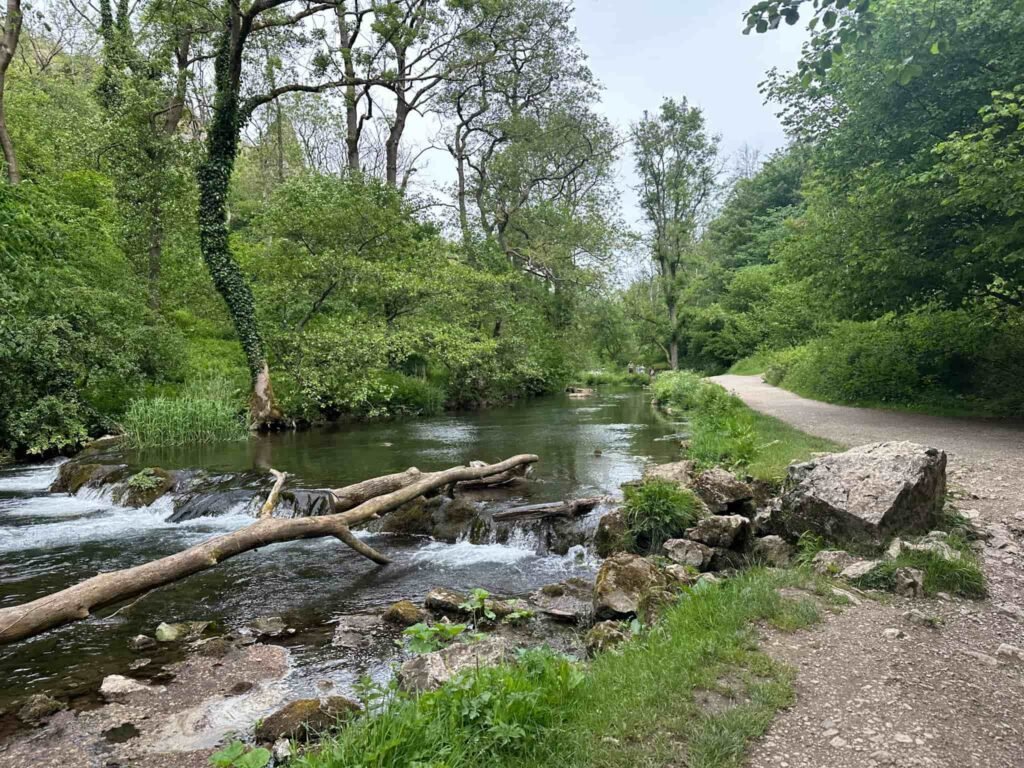
- Walking the length of Dovedale alongside the River Dove – a stunning riverside path flanked by towering limestone spires, caves and rock formations that make this a great valley walk
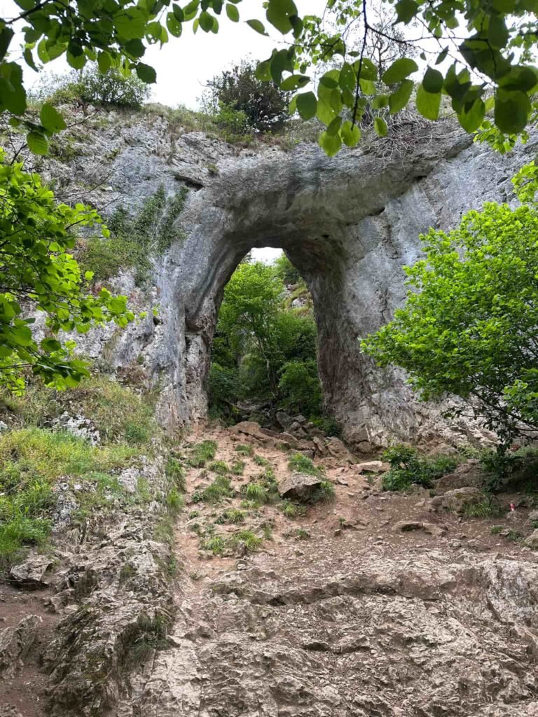
- Reynard’s Cave – a natural limestone arch and cave
- Dovedale Woods – a peaceful stretch of ancient woodland that offers a quieter, shadier contrast to the open valley sections and is particularly beautiful in autumn
- Ilam Park – the beautiful National Trust estate at the mouth of the Manifold Valley, with sweeping parkland, riverside meadows and Ilam Hall |
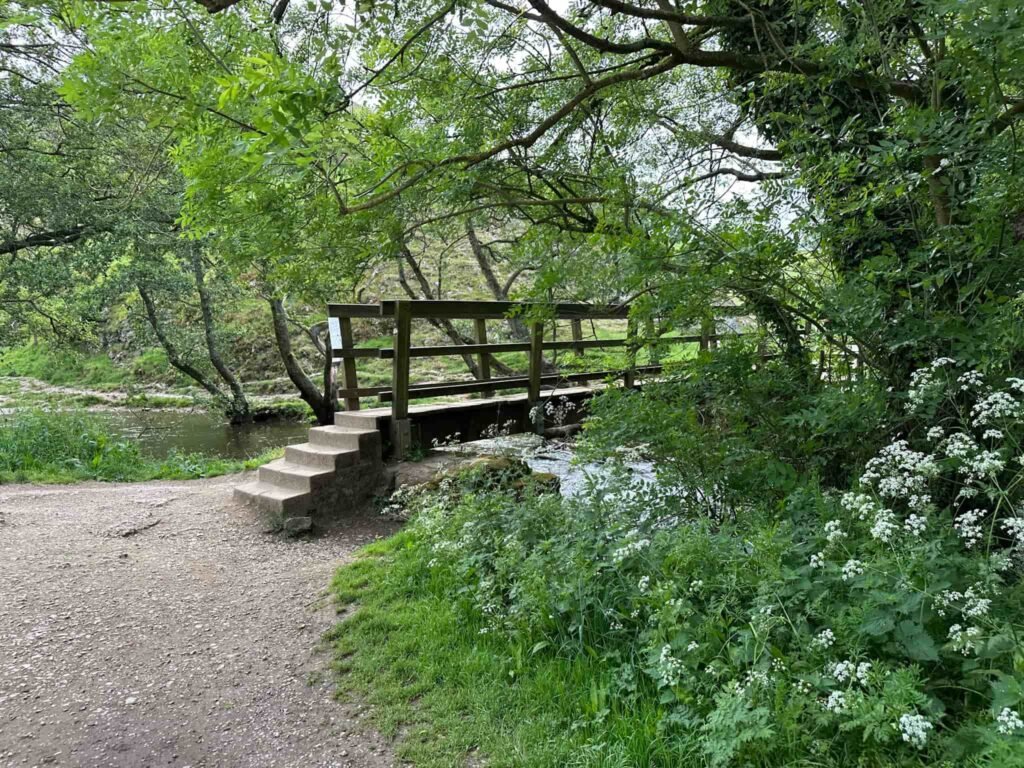
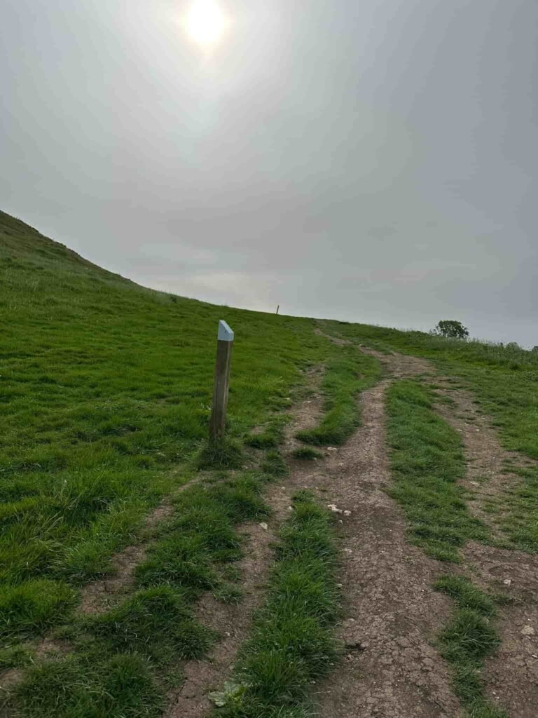
The walk starts from the National Trust car park and heads over the footbridge crossing the River Dove and up to the summit of Thorpe Cloud, following the blue fence posts. We then descended down to the River Dove near the iconic stepping stones.
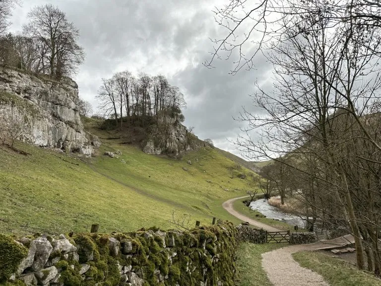
We followed the path running alongside the river for a mile and reached a turning off to Reynard’s Cave. This natural arch sits high on the banks of Dovedale Gorge and is a bit of a rocky scramble to get to. It is said to be named after a local outlaw who used it as a hideout, and next to it lies a smaller chamber known as Reynard’s Kitchen.
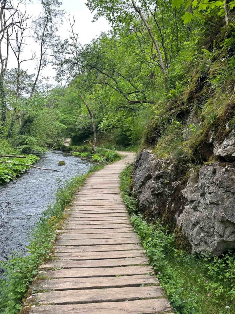
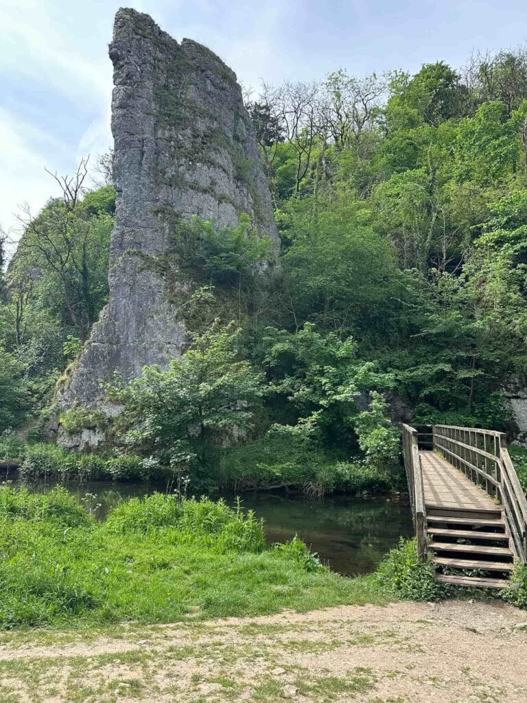
We continued along the riverside path, passing the wooden boardwalk, and crossed the bridge at Ilam Rock.
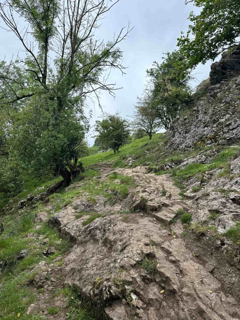
Here we turned left and climbed straight up the super steep path to reach Dovedale Woods (it’s all fours steep in places and you need footwear with a decent grip as it’s really slippery). If you turn right at the bridge and go a short distance further on you can use steps to get to Dovedale Woods – this is what the OS map and gpx file shows.
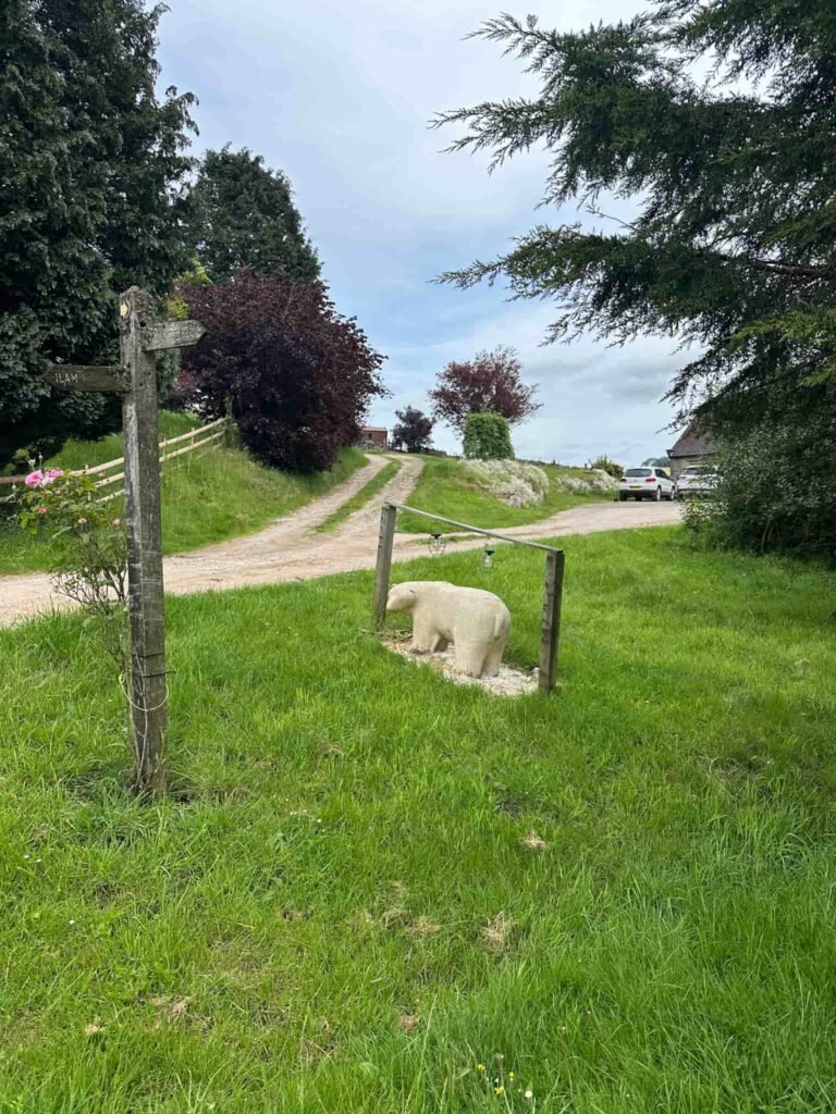
Reaching the woods, we turned left and followed the track south-west, emerging into steep sided fields. We followed the path leading to Air Cottage (with it’s polar bear in the garden!) and Ilamtops Farm, and used the farm track to join Ilam-Moor Lane.
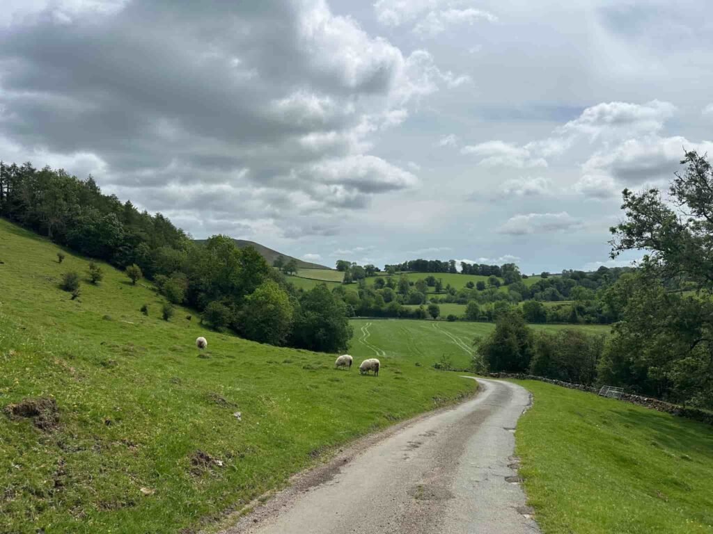
After about 300m on Ilam-Moor Lane we turned right down a footpath behind Beechenhill, and walked through a pretty meadow before descending to Castern Hall.
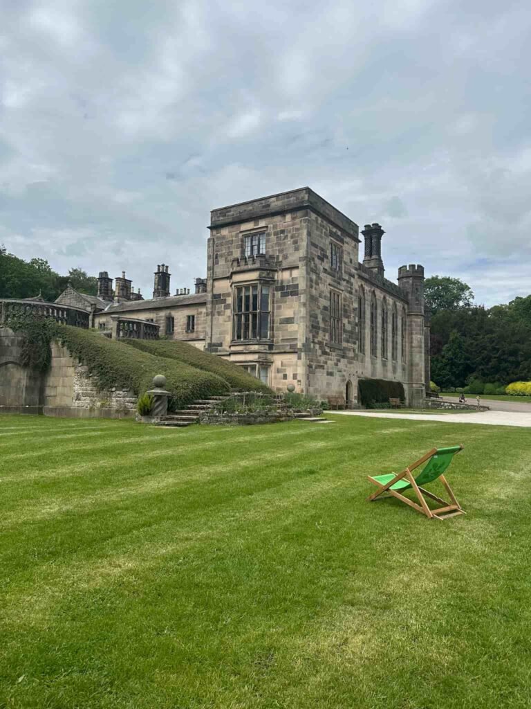
The footpath runs down the track from the Hall, over the cattle grid and onto the road for a short distance. We then picked up the footpath after River Lodge which heads into Ilam Park. The walk follows the track known as Paradise Walk as it makes its way to Ilam Park. Just after the Battle Stone, an ancient Anglo Saxon cross shaft, there is a climb up to the tea rooms, where there is a cafe and loos.
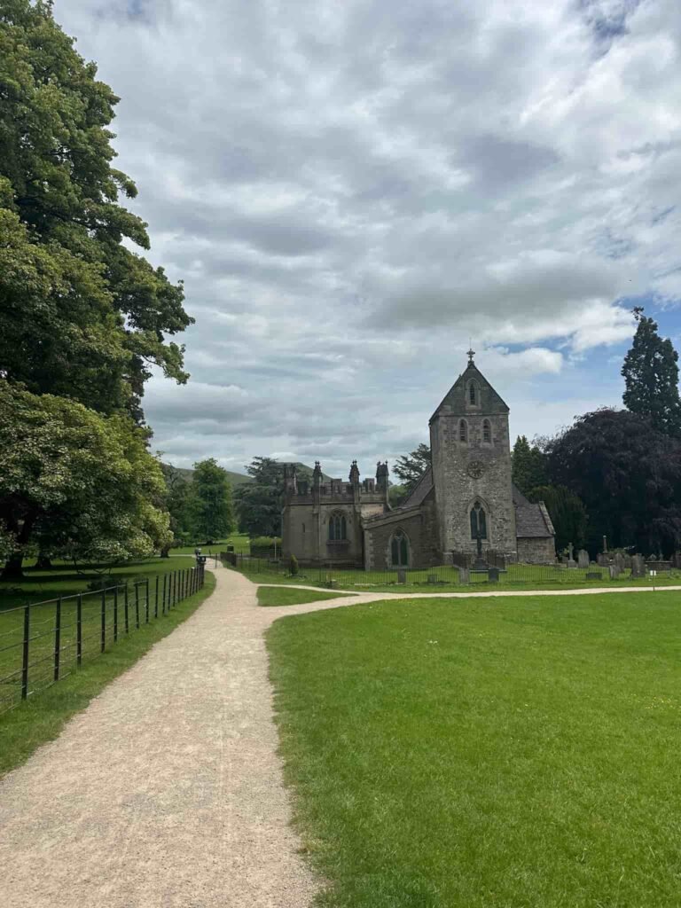

Crossing the terraced gardens, we turned left to follow the path leading to the Church and then out into the centre of Ilam. We passed the memorial to Mrs Watts-Russell and then turned onto Thorpe Road. After a short distance there’s a public footpath on the left. We followed this across the fields back to the National Trust car park.
We went for a drink at the nearby The Old Dog pub – highly recommend!
Walk Map (Opens in OS Maps): Thorpe Cloud, Dovedale, Reynard’s Cave and Dovedale Woods Walk
Parking: We parked in the National Trust car park, Thorpe Road, Ilam DE6 2AZ. W3W:/// frightens.surging.pots. It is pay and display for non-members of the National Trust, £6 for up to 4 hours and £8 all day (as of May 2026). Get there early – this is a very busy place. You can also park in nearby Blore Pastures but this will add extra distance on.
Dogs: The route passes through farmland and a nature reserve so dogs must be on a short lead.
Facilities: The National Trust car park has toilets but these are 50p. There are pop ups/cafe vendors in the car park. Ilam Hall has a tea rooms with toilets as well. Please don’t leave litter.
Walk Time: 4-5 hours
Difficulty: ▲▲ – there is a steep climb up to Thorpe Cloud and another to Dovedale Woods.
Distance: 8.45 miles (13.6km)
Elevation: 1650ft (502m)
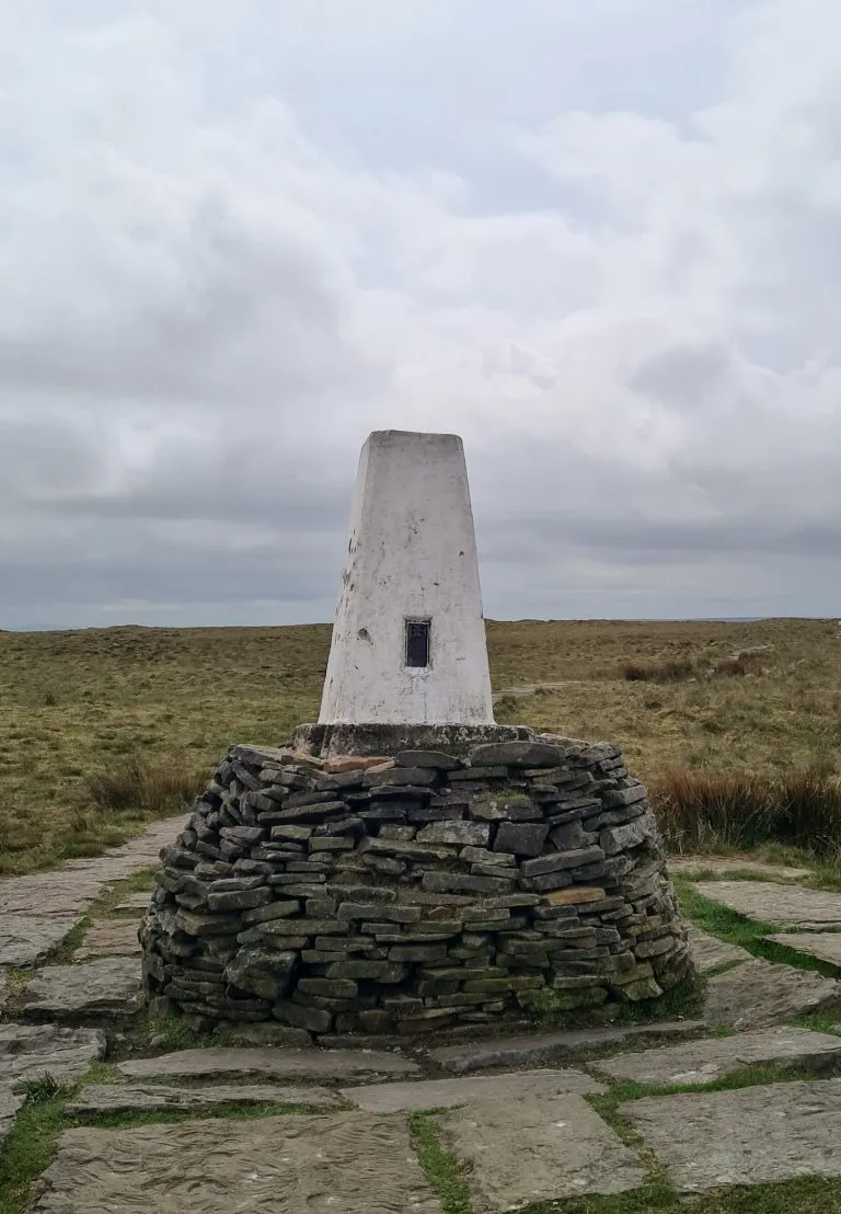
Trig Points Bagged: None
Peak District Ethels Bagged: Thorpe Cloud
You might also like: