Youlgreave to Robin Hood’s Stride and Stanton Moor | 8.5 Miles
This 8.5 mile circular walk from the charming White Peak village of Youlgreave packs in a remarkable variety of landscapes and landmarks, taking you across rolling limestone plateau, heather-clad moorland and ancient gritstone terrain. Explore Robin Hood’s Stride and historic Stanton Moor.
Expect some moderate ascents and a good mix of open moorland, field paths and moorland tracks throughout.
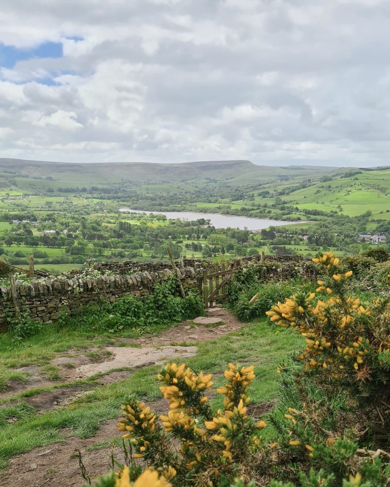
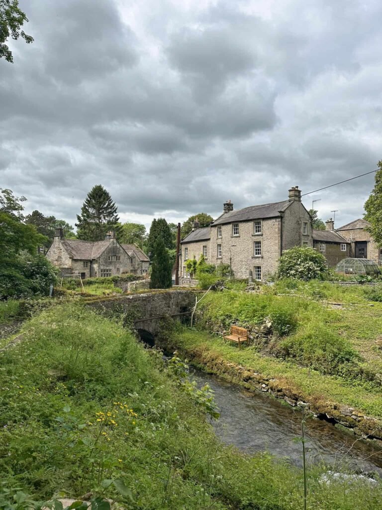
Youlgreave sprawls along a ridge above Bradford Dale, deep in the heart of the White Peak, making it a perfect base for a walk that feels varied from start to finish.
Youlgreave to Robin Hood’s Stride and Stanton Moor Walk Overview
- Facilities – Pubs and a village shop in Youlgreave
- Distance – 8.5 miles
- Difficulty – Moderate
- Route type – Circular
- Start point – Youlgreave village
- Terrain – Village paths, field paths, roads, moorland and gritstone tracks
Highlights of the Walk
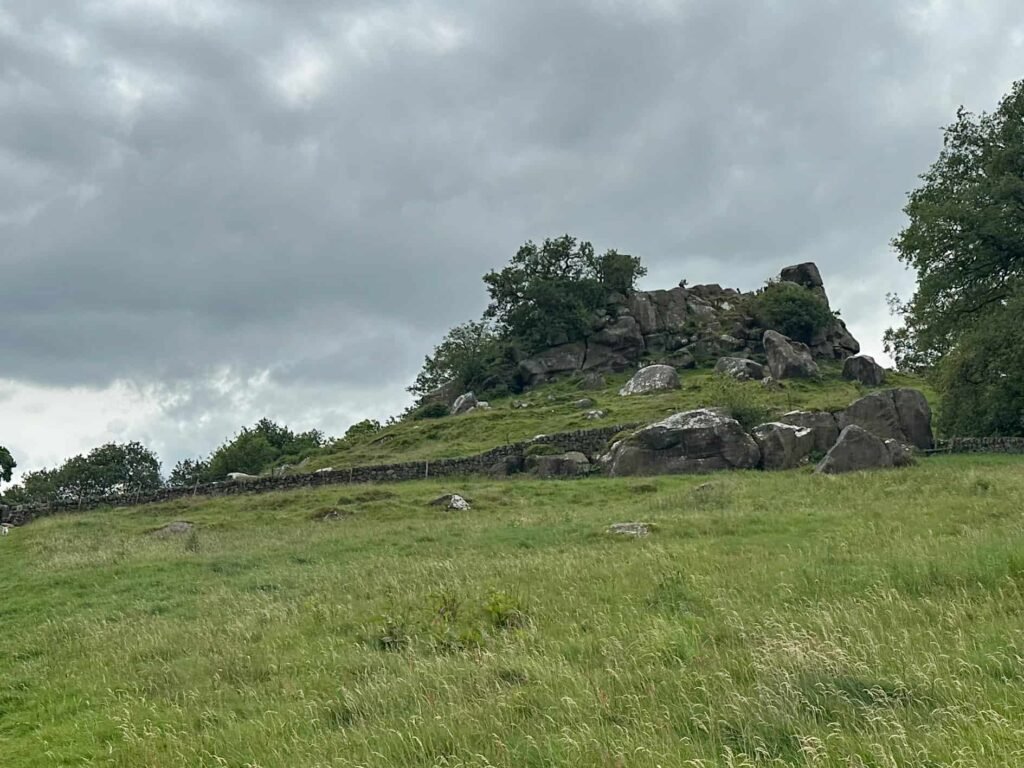
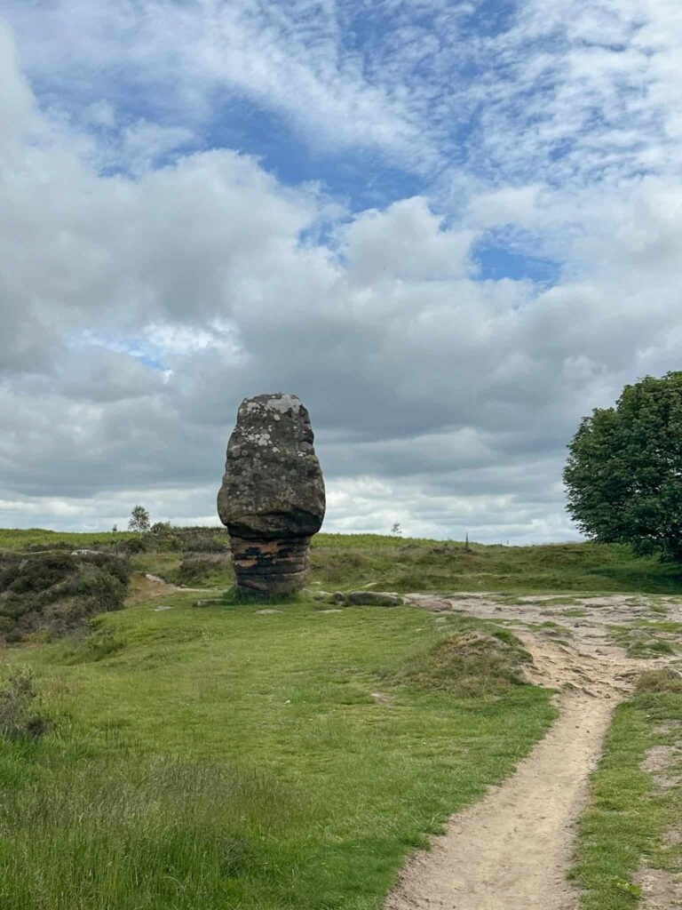
- Robin Hood’s Stride – a dramatic gritstone tor also known as the Mock Beggars Mansion, with two distinctive pinnacles set around 50 feet apart and great views across the surrounding countryside
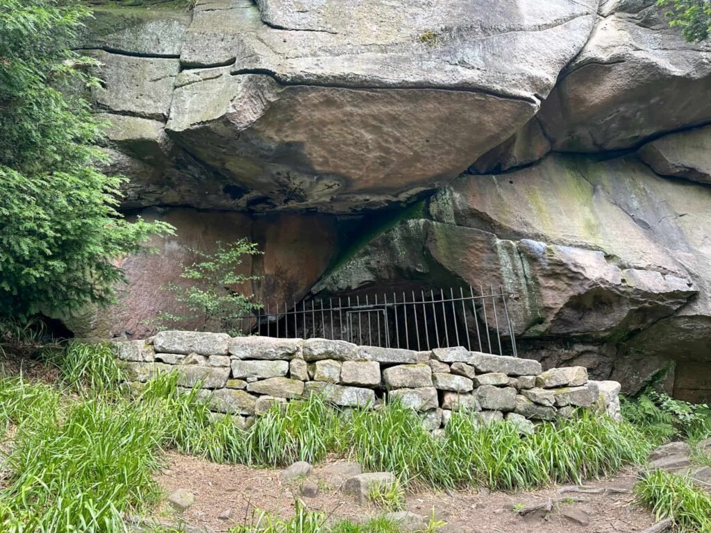
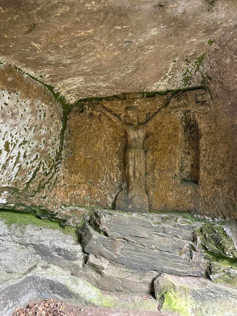
- The Hermit’s Cave – a hidden shelter tucked beneath the crags of Cratcliffe Tor, containing a carved stone crucifix dating back to the 13th or 14th century
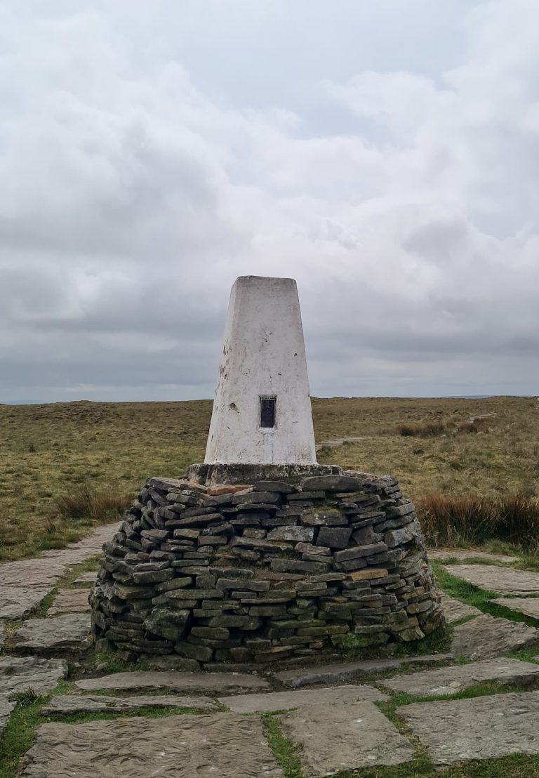
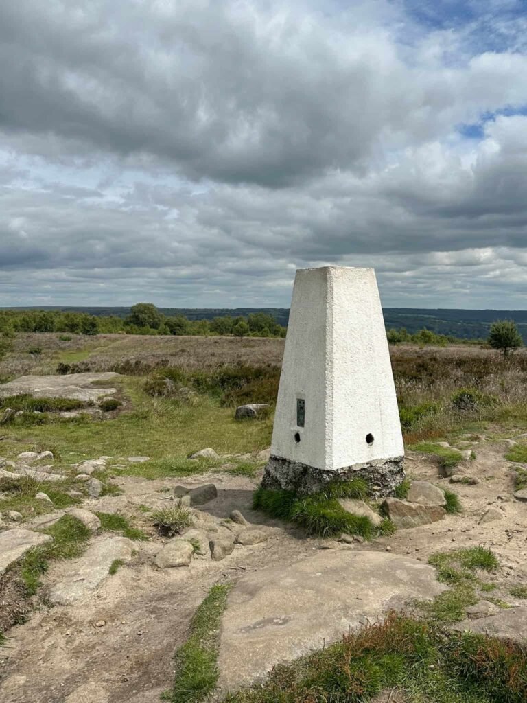
- Stanton Moor trig point – the high point of the walk, with sweeping panoramic views across the Peak District from the top of this heather-clad moorland plateau
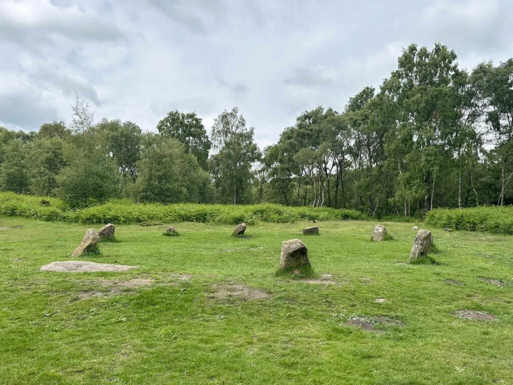
- The Nine Ladies Stone Circle – a Bronze Age stone circle steeped in legend, where nine women are said to have been turned to stone for dancing on the Sabbath, with the nearby King Stone marking their fiddler.
- Youlgreave village – a classic White Peak village perched on a limestone ridge above Bradford Dale, with a fine medieval church and 3 pubs for a well-earned post-walk drink – I like The Bulls Head.
If you visit Stanton Moor and the Nine Ladies circle, please respect this ancient site. Fires and camping are prohibited and dogs should be kept on a lead.
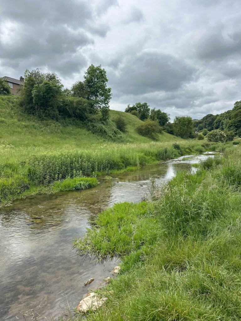
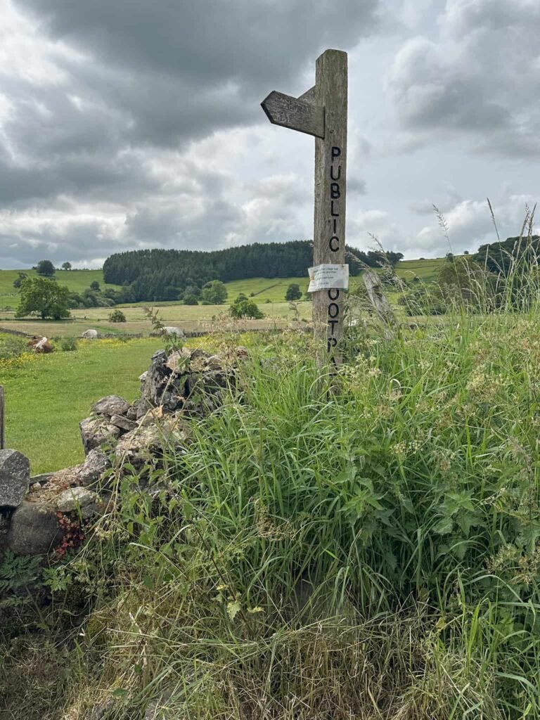
The walk starts from the pretty village of Youlgreave in the Coldwell End car park. Turning left, we walked down the road a short distance to a public footpath sign and followed the footpath down the hill passing Coldwell Cottage. This is a steep path, uneven in places, and quite overgrown. It leads down to the river and we walked to the stone clapper bridge over the River Bradford.
Through the gate into the Youlgreave Conservation Area, we passed the swimming spot and followed the river to the roadside. We turned right to walk up the hill a short distance before joining a footpath leading over the fields, just after a dilapidated barn.
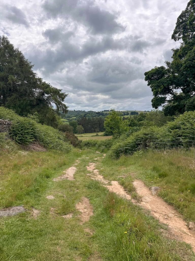
The footpath runs over the fields, crossing a small stream, and then heads slightly uphill to join a rough track. We turned left and followed this through the farmyard of Harthill Moor Farm, reaching the road.
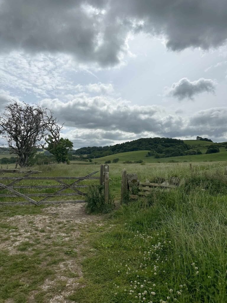
Crossing the road, the footpath leads to Robin Hood’s Stride through a wooden gate. Robin Hood is said to have strode between the two pinnacles – he must have had long legs if he did, as they’re about 50 feet apart! This gritstone outcrop is great fun to have a climb up from – sadly there was a huge group of people having lunch on the top so we couldn’t explore properly.
We headed back down to the wooden gate and crossed the track. There’s another wooden gate here which leads to a field, and Cratcliffe Tor. Here there’s the Hermit’s Cave, hidden in the woods. Its most notable feature is a carved stone crucifix inside the cave, which dates back to the 13th or 14th century. The cave is thought to have been used by a hermit as a shelter, and the carving suggests it may have served as a small place of worship or retreat.
Retracing our steps back to the track, we turned left and set off down the hill, reaching a track and then a busier road. We walked a short distance on the road, heading north to pick up the footpath which climbs up over the fields to Birchover.
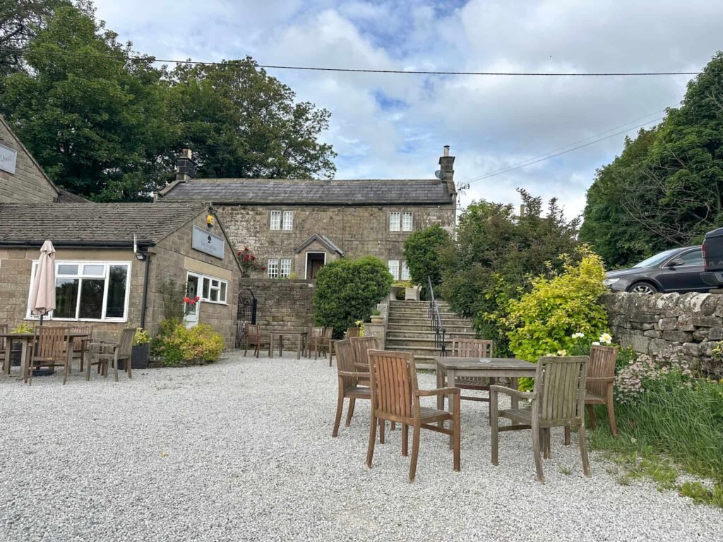
The path also passes by the entrance to Rowtor Rocks, but we didn’t explore on this occasion (one of our team was a bit hangry by this point!), and The Druid Inn.
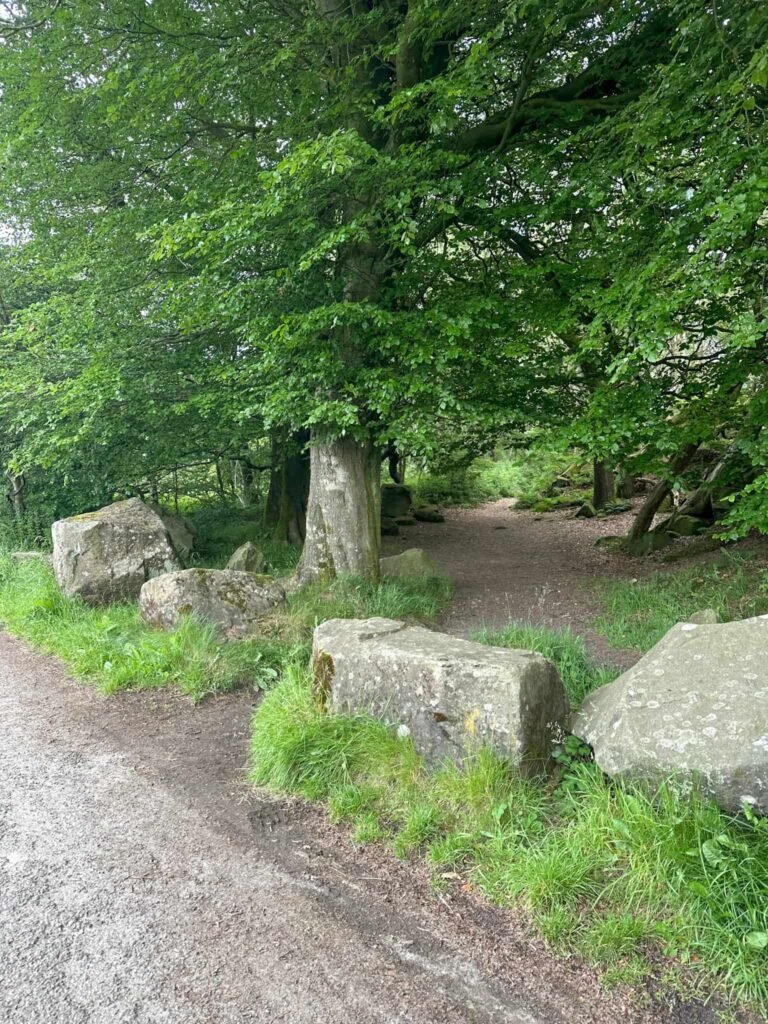
Crossing the road near the Millennium Stone, we followed the footpath through the woods which emerged onto Birchover Road near Birchover Stone. We walked up the hill and passing some large boulders, onto Stanton Moor.
We soon came to the Cork Stone, a large sandstone boulder which has been formed into this shape by wind and rain. The metal handholds were added in the 19th Century to help people climb up. Climbing up doesn’t seem too bad – it’s the climbing down that put me off!
From the Cork Stone we turned left and then forked right to the trig point. The Stanton Moor trig point sits at 323m above sea level.
Passing the trig point, we then walked over the moorland and through the woods to the Nine Ladies Stone Circle. This was a Bronze Age stone circle, thought to have been a ceremonial site or meeting place. The stone circle is part of a large cluster or cairns and stone circles across Stanton Moor.

The name of the monument comes from the legend which says that nine women were caught dancing on a Sunday. Their fiddler was also caught and he is remembered as the nearby King Stone.
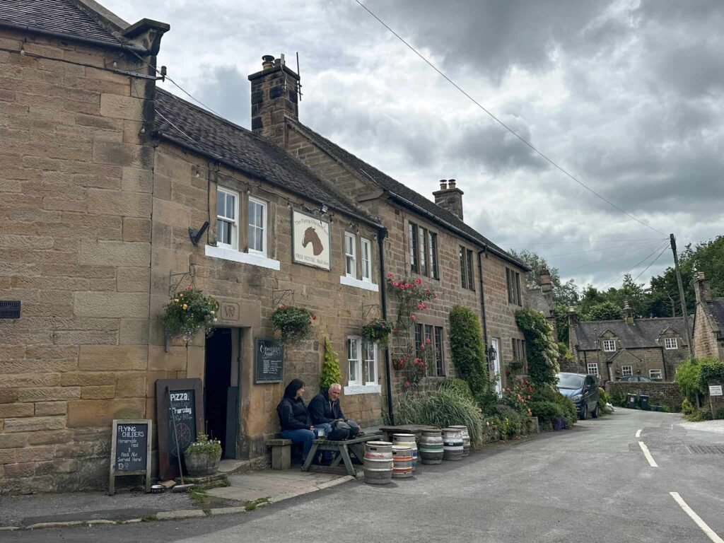
Leaving the stone circle we followed the footpath to join the road and then walked down Lees Road, passing the gates of Stanton Hall and The Flying Childers Inn. At the road junction we crossed and took the footpath over the fields. This leads to a lane, and we turned left on here.
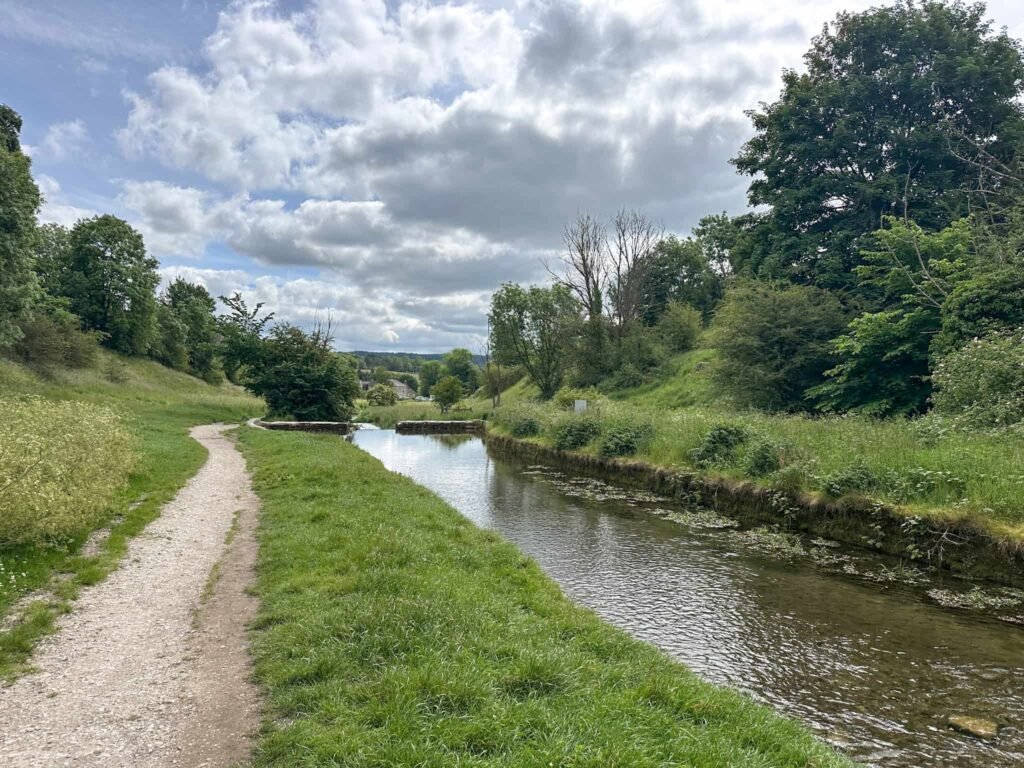
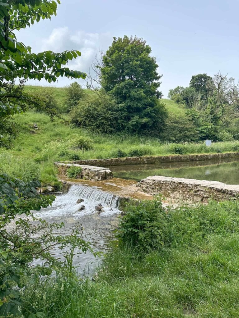
We joined another footpath through a stone stile into woodland which then runs through two caravan parks into the pretty village of Alport. From here we turned down the lane by the old phone box and followed the River Bradford until we reached the road.
Crossing the road and back into the Youlgreave Conservation Area, we followed the river to the bridge, and then took the footpath up through the woods. This is quite steep and there are some steps, before emerging on Coldwell Hill and turning left to head back to the car park or right to the pubs, depending on what you fancy.
Walk Map (Opens in OS Maps): Youlgreave, Robin Hoods Stride and Stanton Moor Walk
Parking: We parked in Youlgreave car park, Coldwell End, Youlgreave DE45 1UY W3W:/// pizza.grant.compliant. There is an honesty box with a suggested donation of £3.
Dogs: The route passes through farmland and a nature reserve so dogs must be on a short lead. Robin Hood’s Stride is Open Access Land, however dogs must be on a short lead between 1 March and 31 July by law.
Facilities: There are pubs in Youlgreave, and the route also passes The Druid Inn at Birchover and The Flying Childers Inn at Stanton in Peak.
Walk Time: 4-5 hours
Difficulty: ▲▲
Distance: 8.58 miles (13.6km)
Elevation: 1400ft (426m)
Trig Points Bagged: Stanton Moor
Peak District Ethels Bagged: Stanton Moor
You might also like: