Hayfield to The Knott | 5 Miles
This walk from Hayfield heads up onto the moors to visit the summit of The Knott, a lesser known hill with stunning views over to Kinder Scout, Mount Famine and South Head. This 5 mile walk also passes the shooting cabin on Middle Moor, and Twenty Trees before heading back into Hayfield along the Snake Path.
The route starts from the car park for the Sett Valley Trail and heads along Wood Lane, through a housing estate, to a bridge over the River Sett. Crossing the bridge, we walked through a small park and then along Swallow House Lane. Just after Swallow House Crescent the path road forked and we took the right hand fork along a small road.
On the right hand side there’s a footpath which leads along a stony track to Little Hayfield. Following this, we reached a lane and walked up the hill to meet the main road near the Lantern Pike pub. Crossing the road we headed up the lane marked Park Hall Woods.
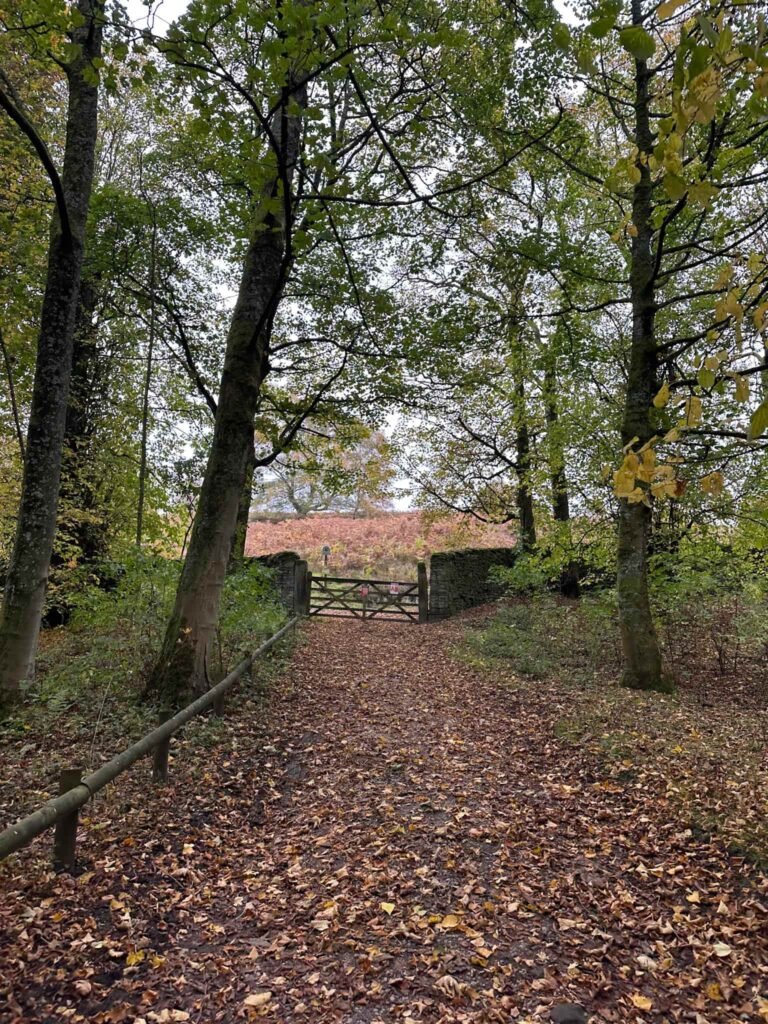
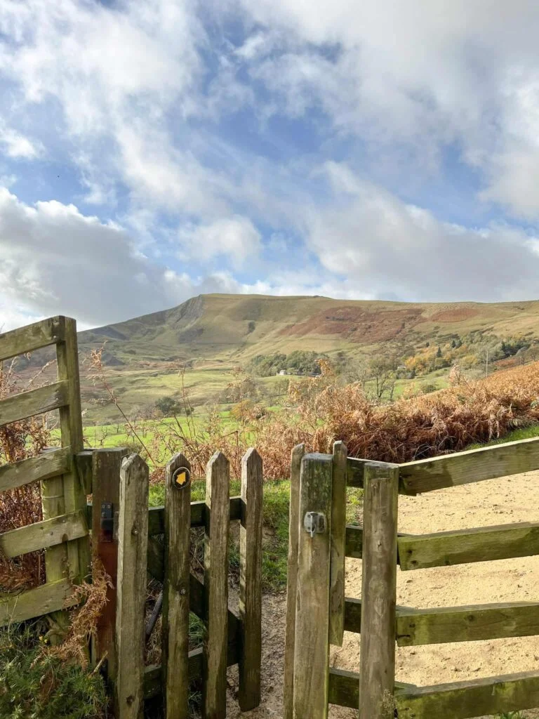
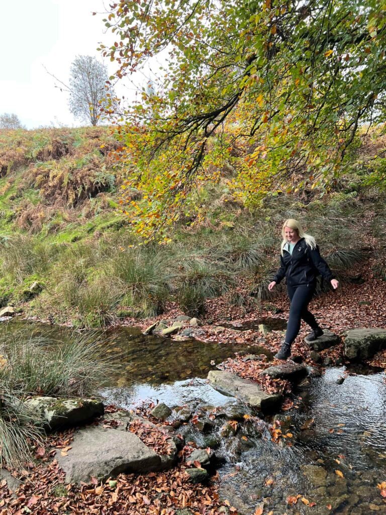
At the end of the lane we turned right through a wooden gate onto Middle Moor. Crossing the stream the path then starts climbing steadily for around 1.1 miles.
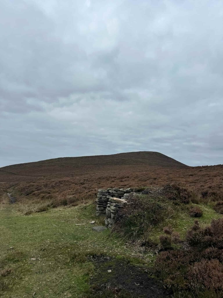
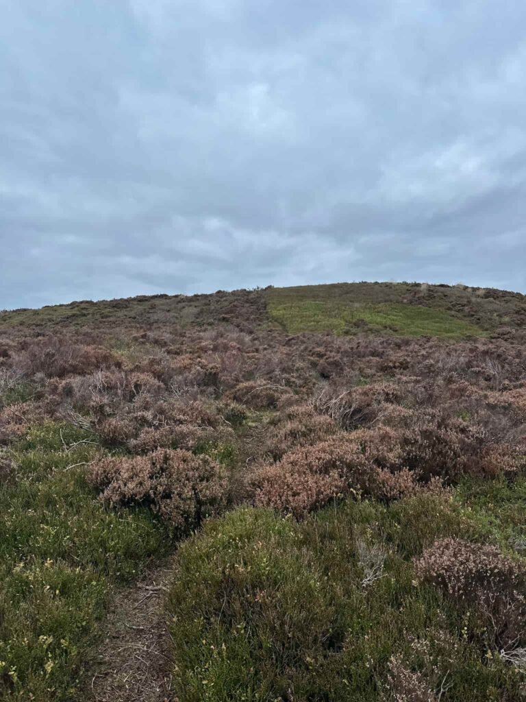
There’s a faint path that runs up The Knott, which is quite hard to see, and there’s nothing to mark the actual summit! The Knott, at 454m, isn’t a huge hill by any means but what it lacks in stature it makes up for in stunning views.
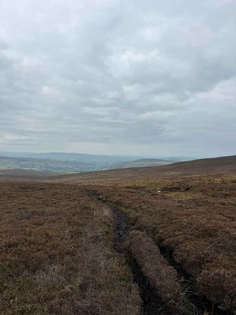
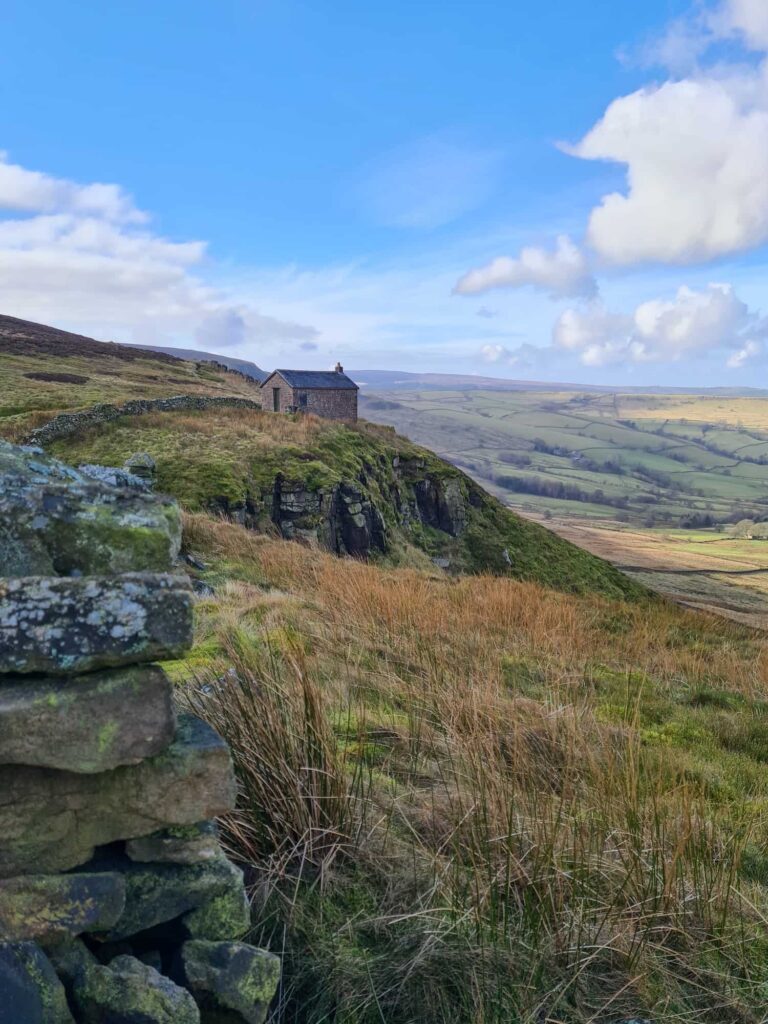
From the summit we headed back down to the track and followed the path north-east to the end of the grouse butts. Here the path turns and heads south west down the hillside, following the line of the stream to the white shooting cabin.
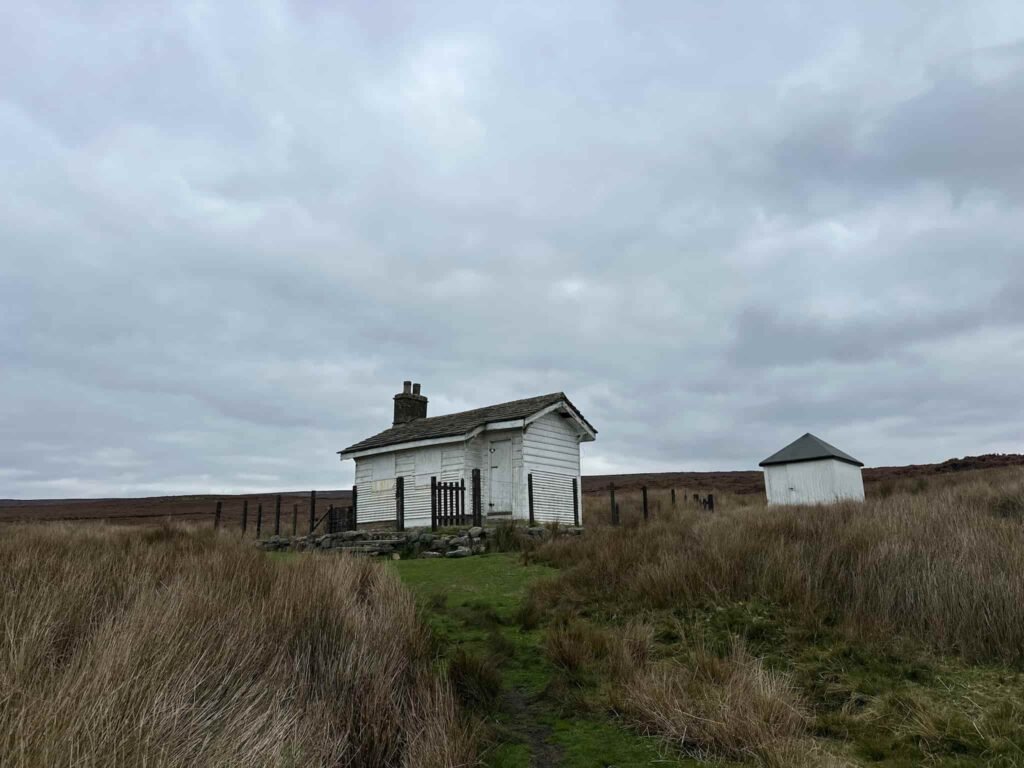
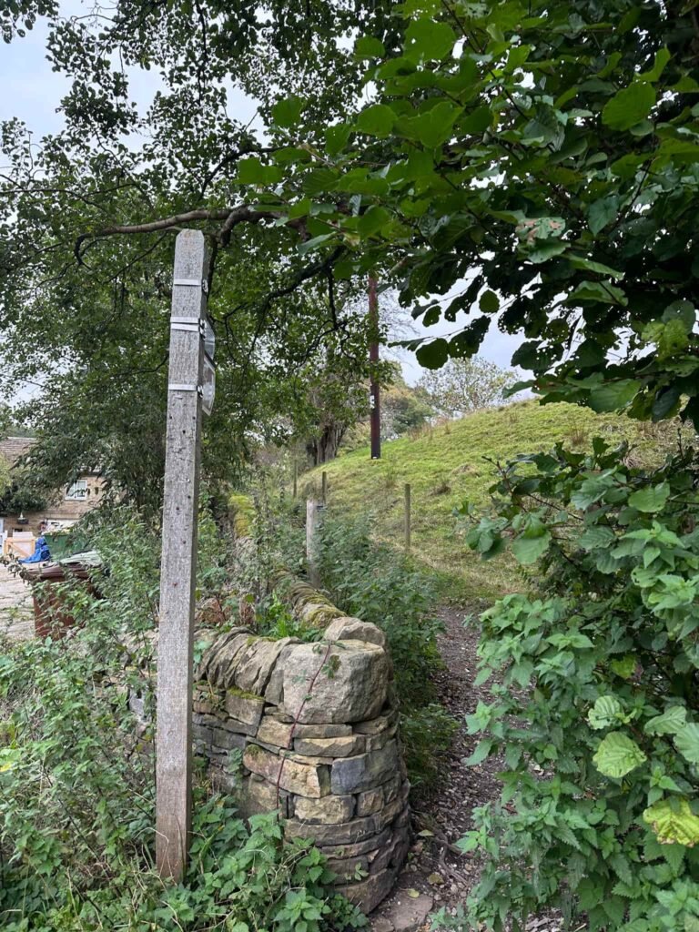
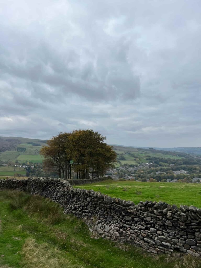
From the shooting cabin we picked up the Snake Path and followed this over the fields, back down into Hayfield, passing Twenty Trees (although if you count them, there are only actually nineteen!).
We walked down Kinder Road into the main village of Hayfield, and down a cobbled set of steps to the war memorial. Walking down a lane next to the church we passed Hayfield Conservative Club, and crossed the road back to the car.
This was a lovely Hayfield walk, and made a nice change from the crowds on Kinder Scout! Hayfield has plenty of pubs to stop off for a bite to eat.
Hayfield to The Knott Walk Details:
Walk Map (Opens in OS Maps): Hayfield to The Knott Walk Map
Parking: We parked at the car park on Station Road, Hayfield, High Peak SK22 2ES W3W:///geology.unfilled.special. This is a pay and display car park – £7 all day.
Dogs: The route uses footpaths and areas of Open Access Land, so dogs need to be a short lead between 1 March and 31 July, and all year round near farm animals.
Facilities: There is a free toilet in the car park. Hayfield has plenty of pubs and a chip shop.
Walk Time: 2-3 hours
Difficulty: ▲▲
Distance: 5 miles (8.04km)
Elevation: 1075ft (328m)
Trig Points Bagged: None
Peak District Peaks Bagged: None
Peak District Ethels Bagged: None
You might also like Lantern Pike and the Sett Valley Trail | 8 Miles or Hayfield to Kinder Scout Circular Walk | 10 Miles