Holme to Digley to Blackpool Bridge Walk | 5 Miles
Tucked away in the very north of the Peak District, Digley Reservoir tends to be overlooked by people looking for Peak District walks. This route starts in the pretty village of Holme and heads to Digley Reservoir and then Blackpool Bridge before returning via keepers tracks to Holme village. This 5 mile walk starts and ends outside a pub (hooray!).
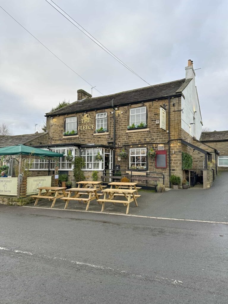
We parked on the road outside The Fleece and then set off up Meal Hill Lane, passing the children’s play area on the left. A short distance after this, on the right, there’s a public footpath sign and a slabbed footpath which heads out over the fields. There are some skinny stone stiles to get through, following the Kirklees Way down the hill to join the footpath which runs around Digley Reservoir. There’s a pretty stream at the bottom of the hill.
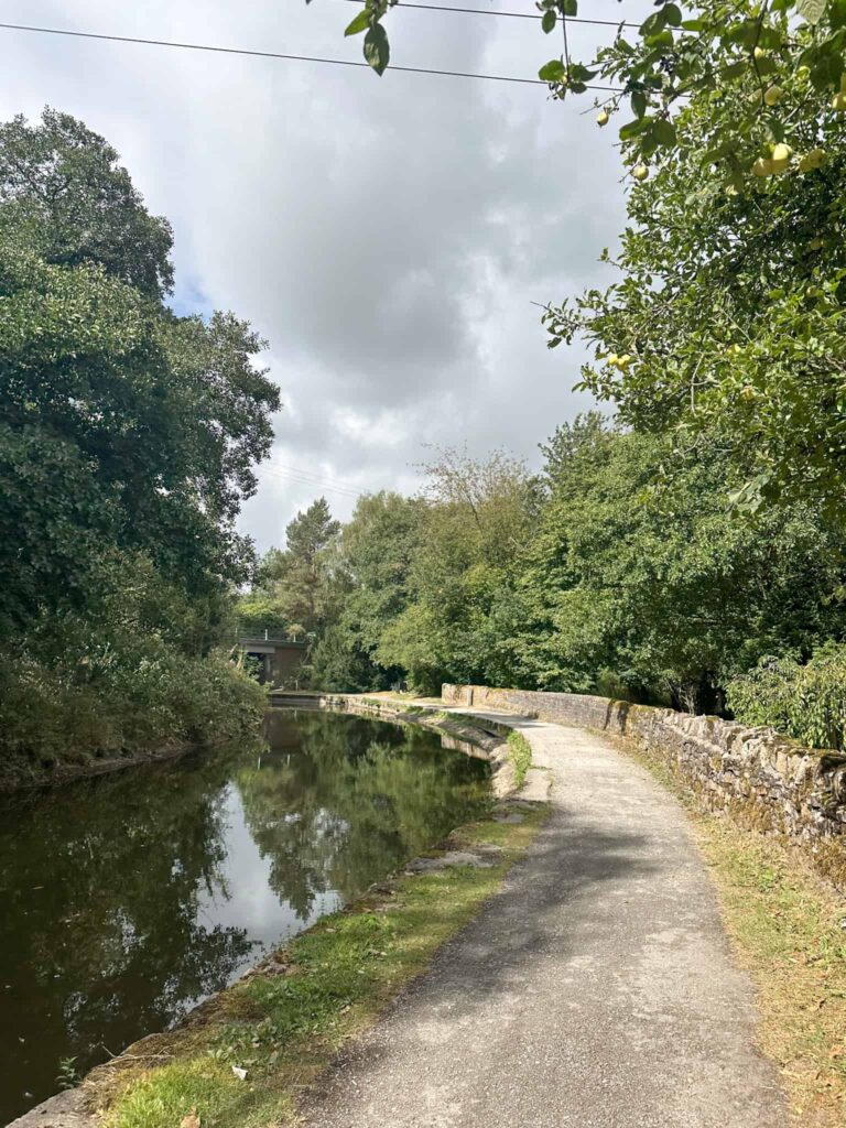
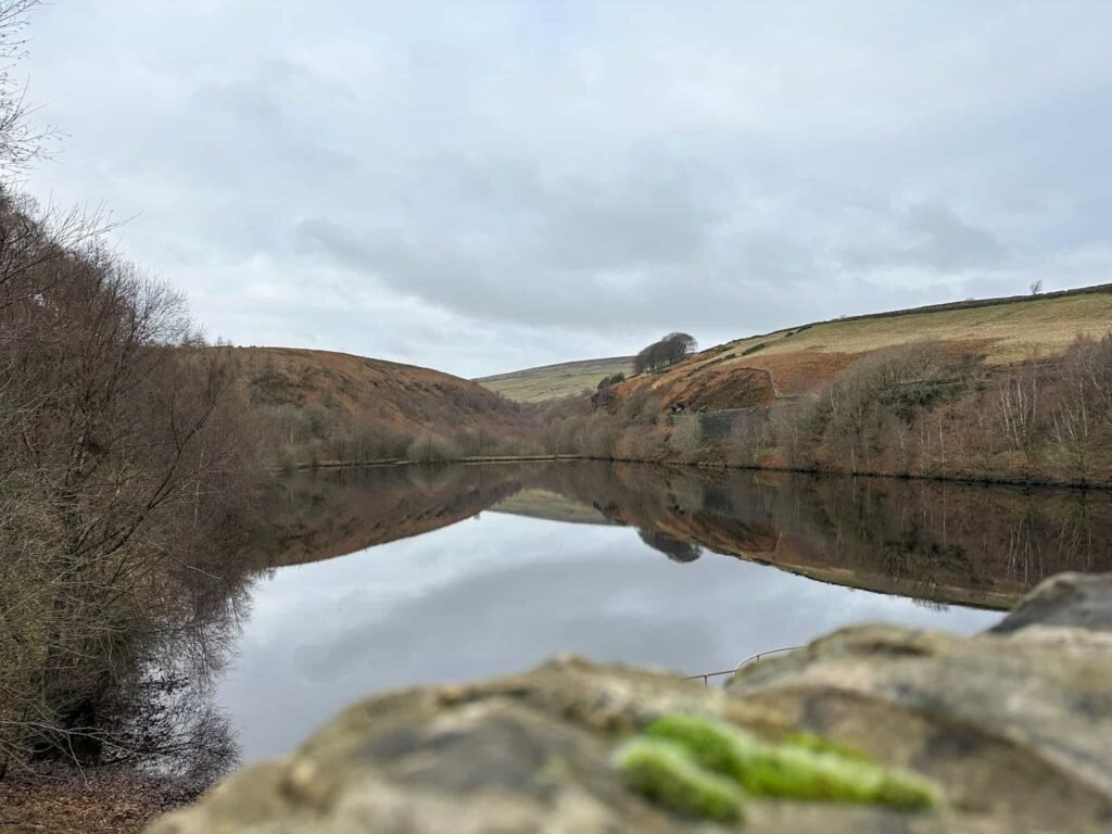
Turning left and heading through the gate, there’s another gate a short distance on and then the route heads into woodland before dropping down some steps to the reservoir embankment. between Bilberry Reservoir on the left and Digley Reservoir on the right.
Bilberry Reservoir burst its banks on 5 February 1852. Without warning, a powerful surge of water thundered down the Holme Valley, ripping through homes, mills and bridges as it went. Streets were destroyed in minutes and families were swept away, leaving the town changed forever. At least 81 people were killed, making it one of the worst inland floods England has ever seen.
The disaster exposed serious problems with how reservoirs were built and maintained at the time, as there were flaws in the construction of Bilberry, and it eventually led to tighter safety laws. You can read more about the Holmfirth Flood here. Digley Reservoir was built in 1954.
After crossing the embankment the route climbs up the hillside, through a metal gate and then zig zags onto the track known as Hoowood Lane. Turning left to continue the gentle climb, the track turns right and comes to a junction with Nether Lane.
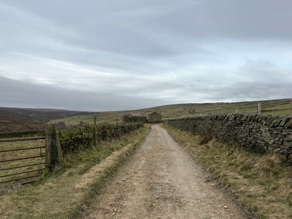
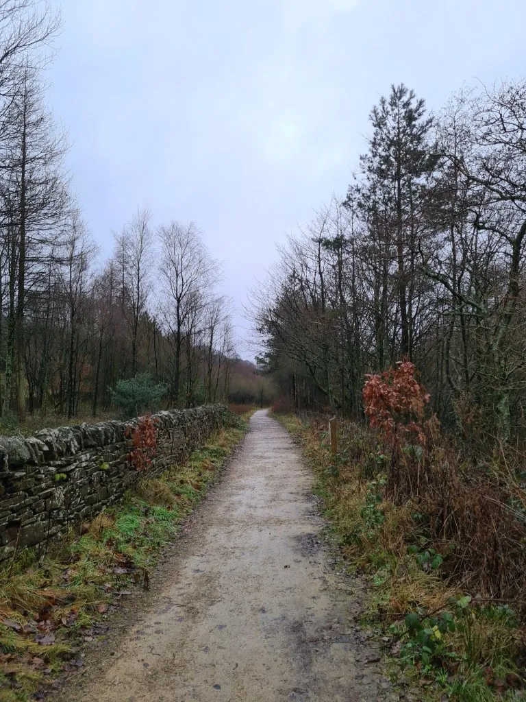
Turning left again, the route follows the track, passing the remains of various farms and barns along the way. Many of these were cleared when the reservoirs were built as it was thought they would pollute the water.
After passing the large Goodbent Lodge (also known as Better Than Expectation), there’s a public footpath sign and a high stile. This path runs down over the field to a metal gate, and then down a rough stony track to Blackpool Bridge.
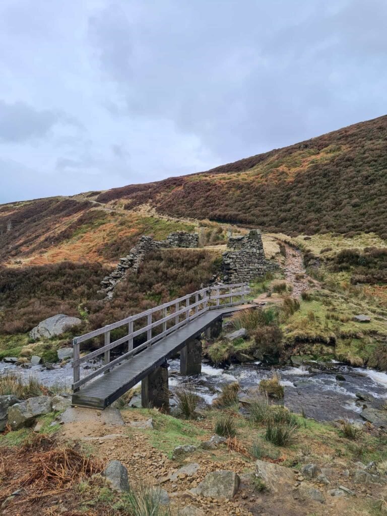
The original Blackpool Bridge was a large, stone arched structure, wide enough for a pony and cart to cross, which spanned Marsden Clough, where Reap Hill Clough and Dean Clough meet. The bridge survived until the Holmfirth Floods of 1944 when Bilberry Reservoir burst its banks again. You can see the footings for the original bridge. The current bridge was constructed by the Peak and Northern Footpaths Society.
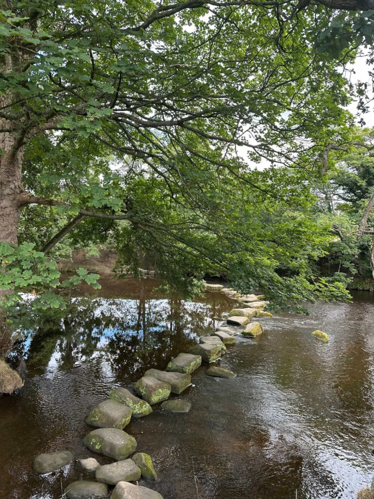
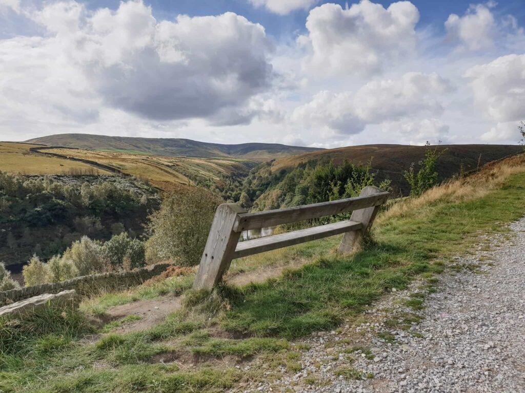
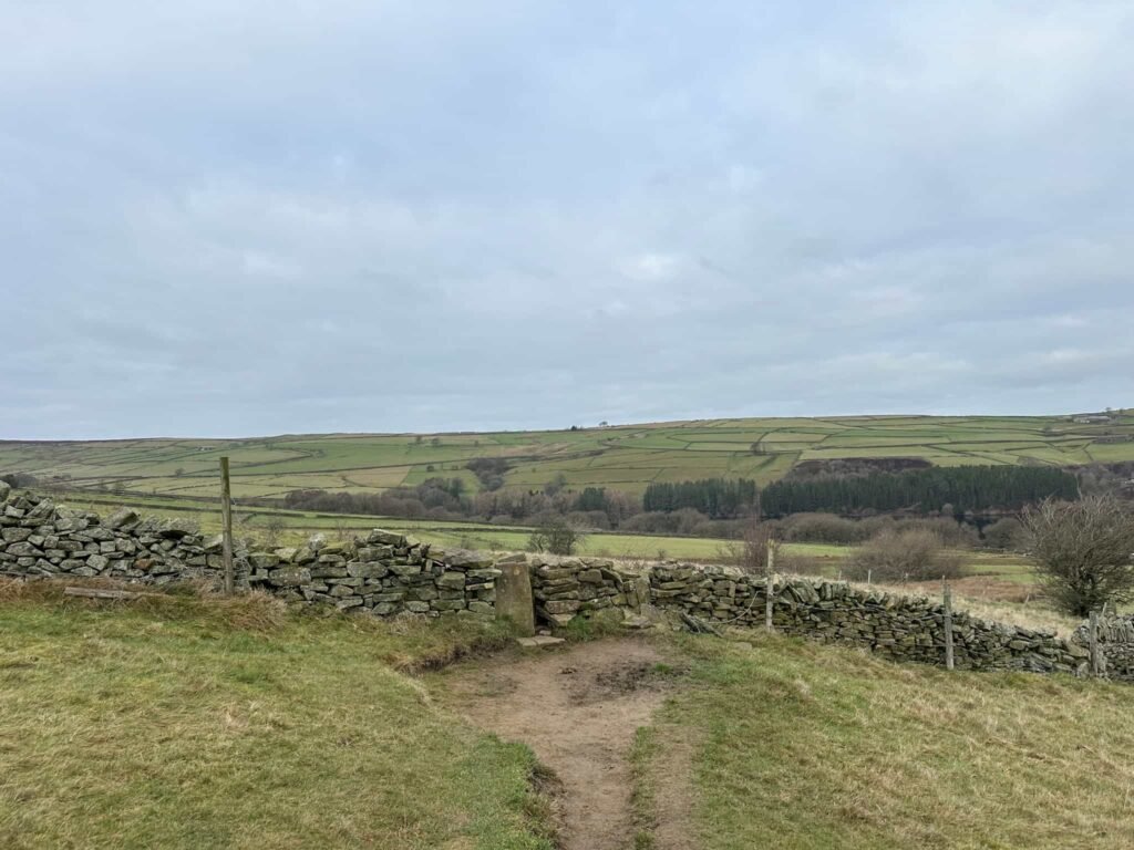
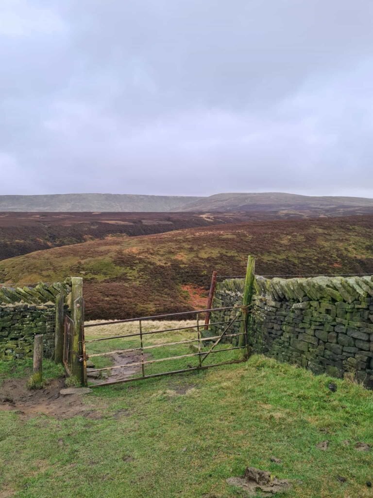
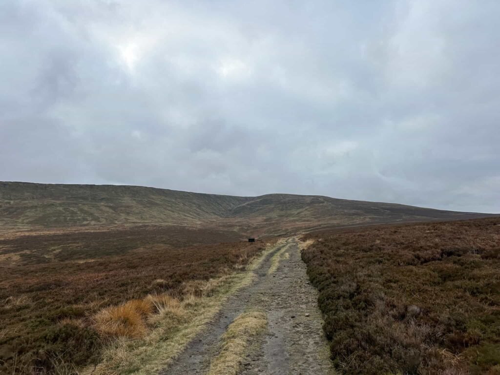
Crossing Blackpool Bridge, the track climbs up over Good Bent and Stopes Moor. In summer the heather is amazing here! The path crosses Hey Clough via some stepping stones and then climbs up to meet Issues Road. The track runs to a kissing gate and then passes a barn at Stoney Hill, and the remains of a former farmhouse at Green Sikes (now just a few walls remain). There is a metal gate (quite hard to open!) and a stile, and the track then joins Meal Hill Road.
The route heads back into Holme village, passing the school, and you’re soon back in the village centre. At the bus stop turn right to head to The Fleece – one of my favourite pubs for an after-walk pint.
Holme to Digley to Blackpool Bridge Walk Map:
Walk Map (Opens in OS Maps): Holme to Digley and Blackpool Bridge Walk
Parking: Roadside near The Fleece Inn, Woodhead Road, Holme, Holmfirth HD9 2QG W3W:///thumb.valuables.rainwater
Facilities: Public toilets across from The Fleece. The Fleece Pantry has a range of snacks and hot drinks to take away, and The Fleece itself does amazing food.
Dogs: Allowed, on leads.
Walk Time: 3-4 hours
Difficulty: ▲▲
Distance: 5.1 miles (8.2km)
Trig Points Bagged: None
Peak District Peaks Bagged: None
Peak District Ethels Bagged: None
You might also like:
Digley Reservoir Circular Walk | 3 Miles
Black Hill, West Nab and Blackpool Bridge | 10 Miles