Stybarrow Dodd, Watson’s Dodd, Great Dodd & Clough Head Walk | 8 Miles
This 8 mile walk explores the Eastern Fells and visits Stybarrow Dodd, Watson’s Dodd, Great Dodd and Clough Head, ticking off 4 Wainwrights. It includes a steep climb up and an even steeper climb back down, with 952m of ascent overall.
Walk Overview
- Distance – 8 miles
- Difficulty – Challenging
- Route Type – Circular
- Start Point – Legburthwaite Car Park
- Terrain – Rocky paths, moorland and some road walking
- Facilities – Public toilets in the car park, cafe at The Lodge in the Vale
Key Landmarks on the Walk
This walk includes:
- 4 Wainwright summits: Stybarrow Dodd (843m), Watson’s Dodd (789m), Great Dodd (857m) and Clough Head (726m)
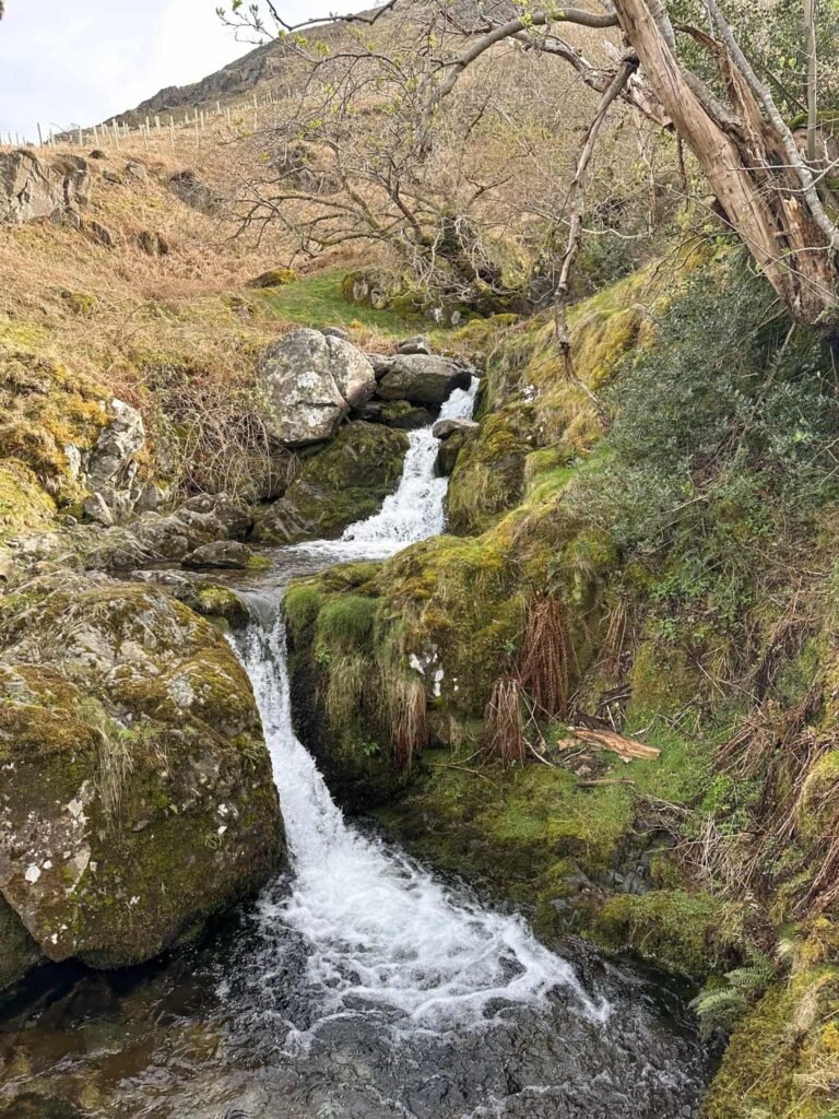
- Waterfalls
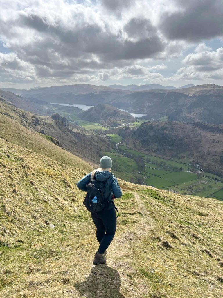
- Stunning views over Blencathra and the Helvellyn range
Our walk starts from the Legburthwaite car park owned by United Utilities. We left the car park by the main entrance out onto Back Lane and turned right, following the road until it’s junction with Stanah Lane. We walked up Stanah Lane, past some farm outbuildings, then went through the wooden gate marked Path (there’s a broken sign for Sticks Pass here too).
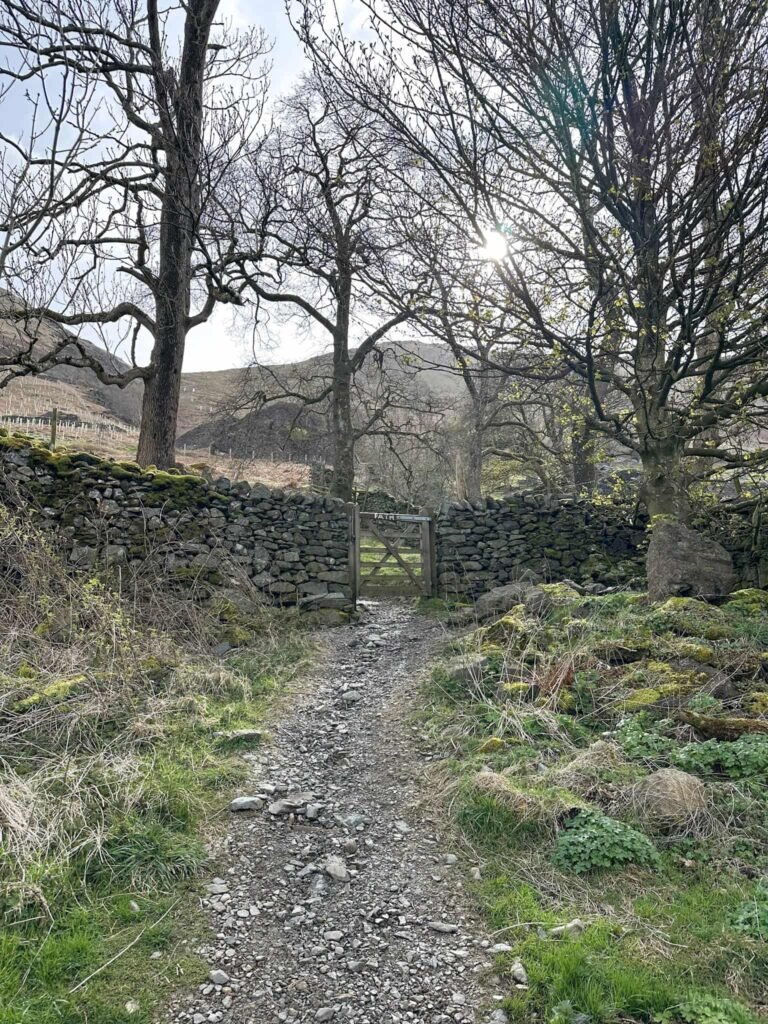
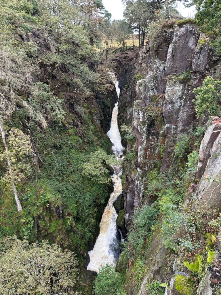
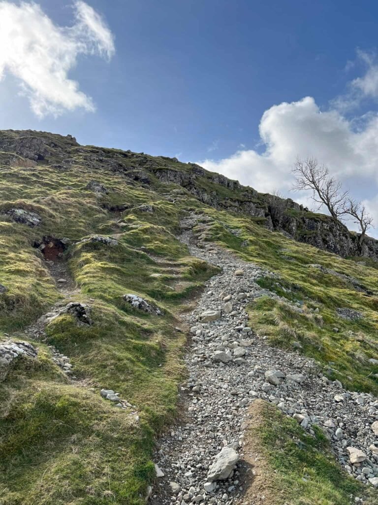
After a short distance we passed another wooden gate and then past the pretty Sty Beck Falls before passing another wooden gate. Here we came to a signpost, and followed the steep path running up alongside the wall and beck.
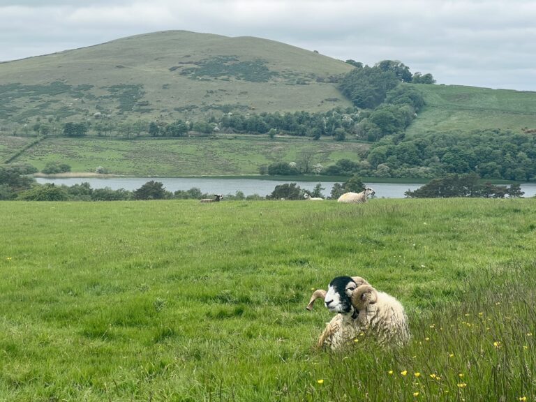
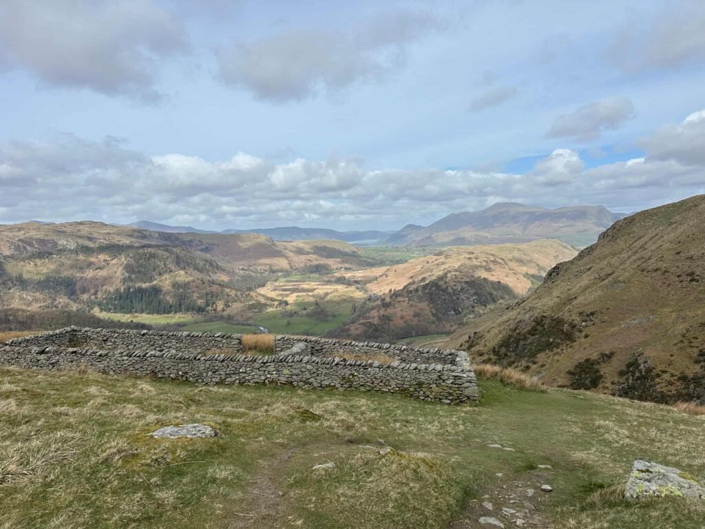
We came to a stone sheepfold and had a few photo stops (aka rest stops) as the views over to Blencathra are rather nice.
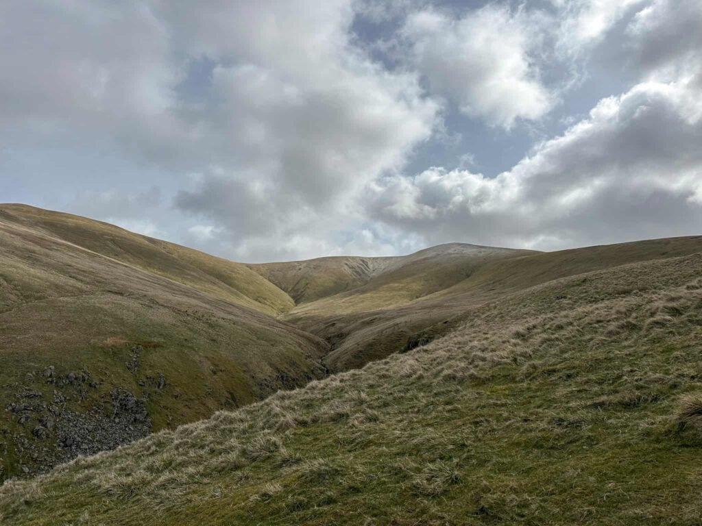
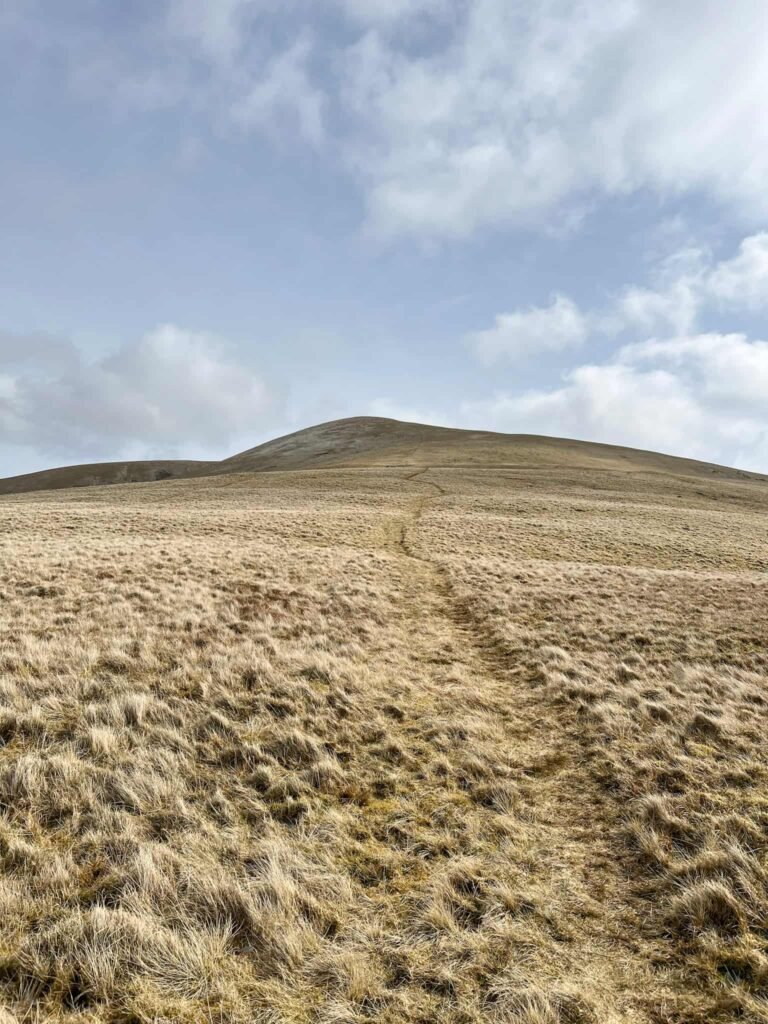
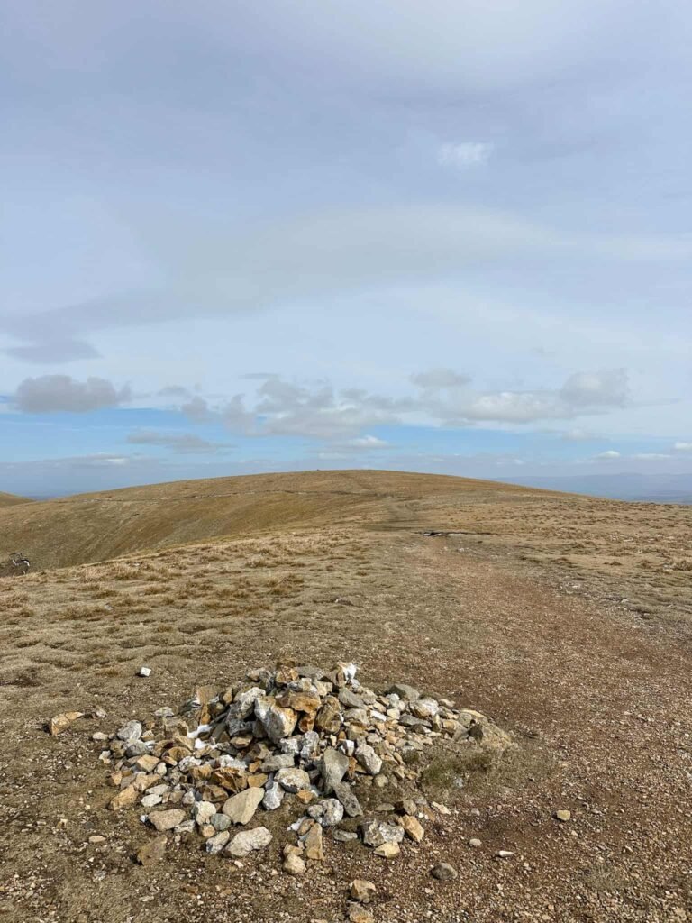
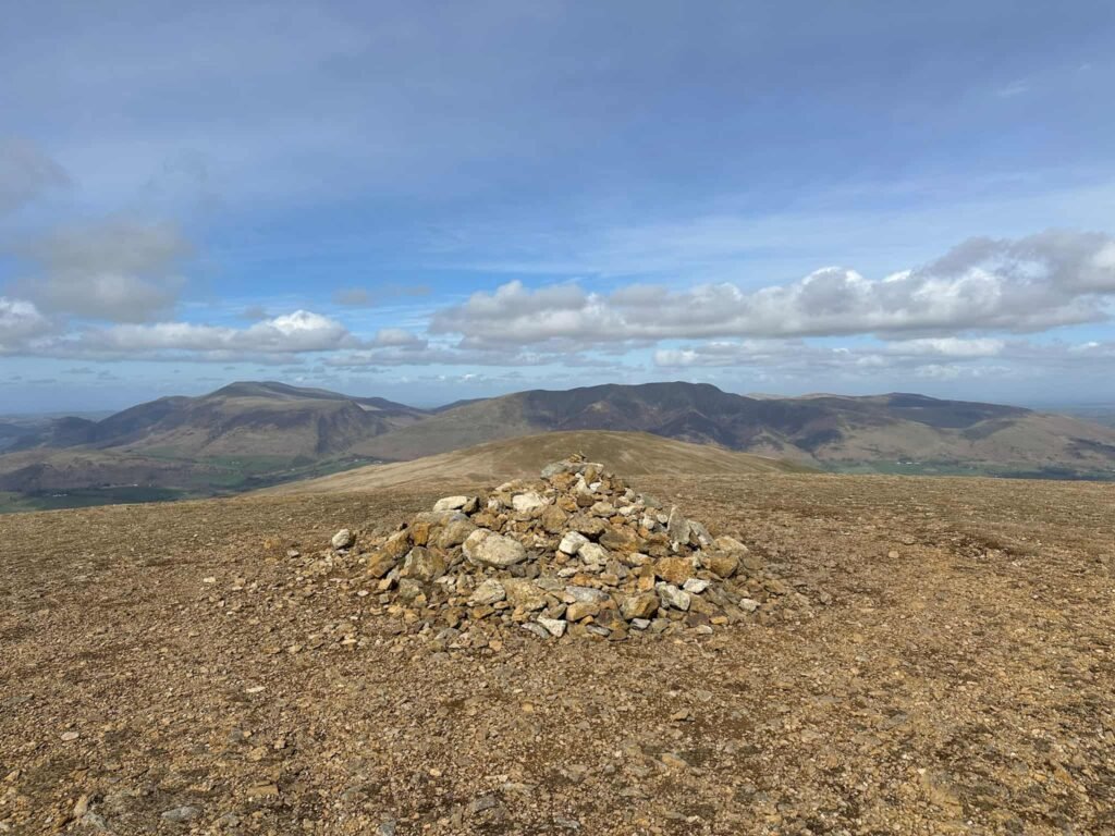
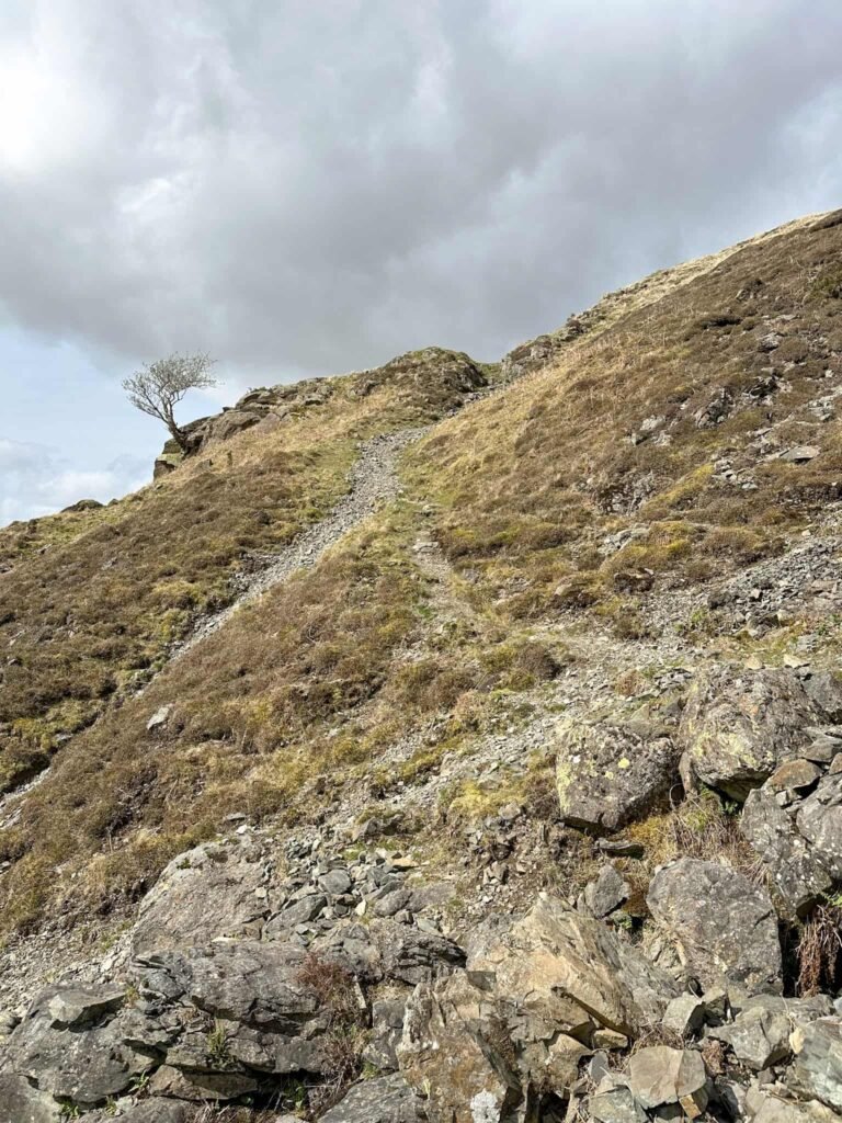
The route continues to climb (relentlessly) up the grassy fellside, bearing left at the fork in the path. Eventually it arrives at a small cairn, (which isn’t the summit but feels like it after all that climbing), and some 200m further (forking right at the fork in the paths) is the summit of Stybarrow Dodd (843m), marked by another small cairn.
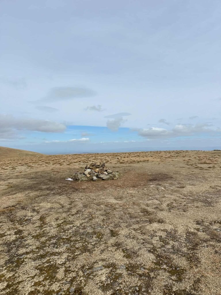
From here we set off north-west along the “ridge” to Watson’s Dodd, marked by another rough stone cairn. This feels almost flat compared to the climbing up to Stybarrow Dodd! We took the left fork where the paths fork.
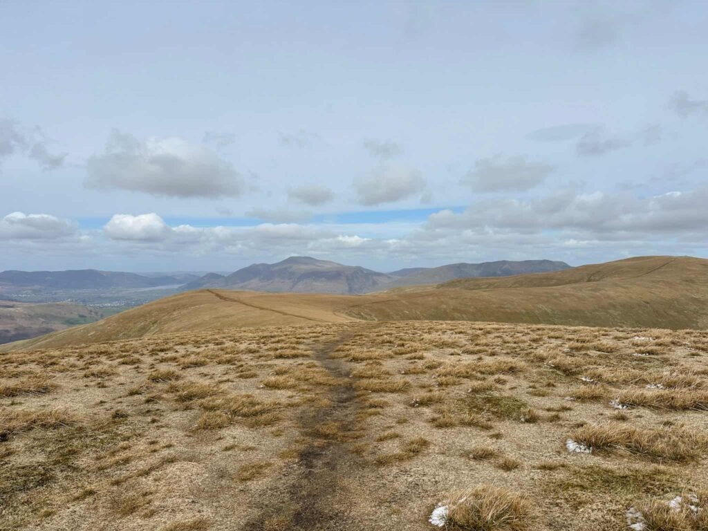
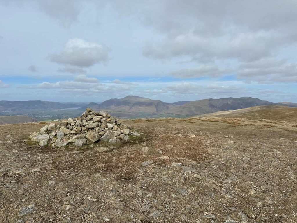
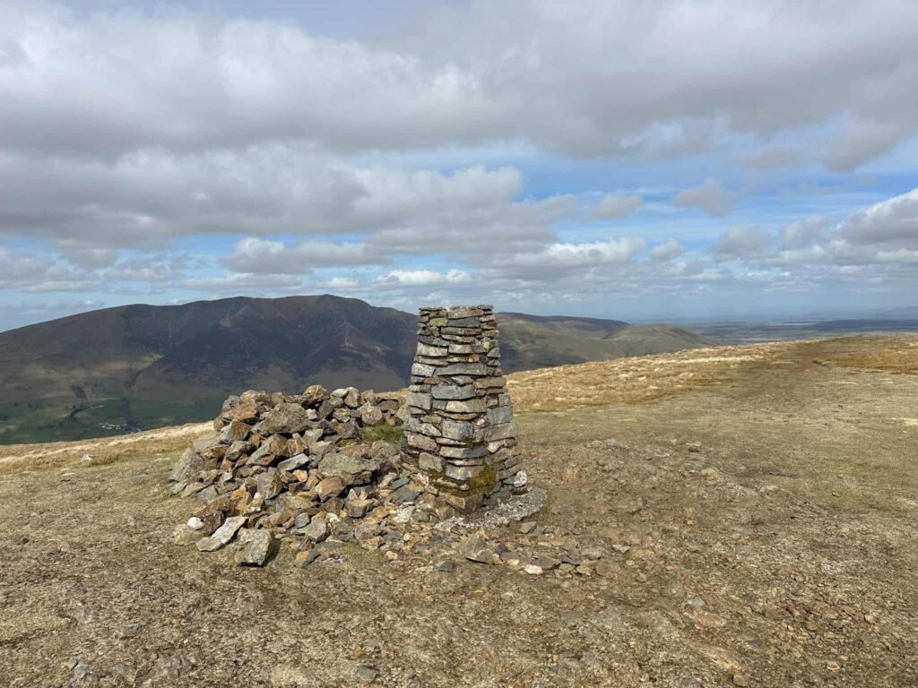
From Watson’s Dodd it’s another gentle stroll along to the north-east to Great Dodd, and it’s stone shelter. The shelter is just off from the summit, again marked by a stone cairn. I have a lot of photos of piles of stones from this walk!
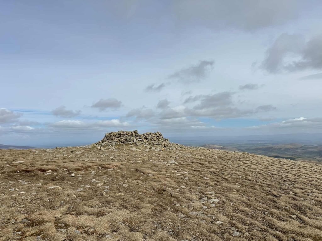
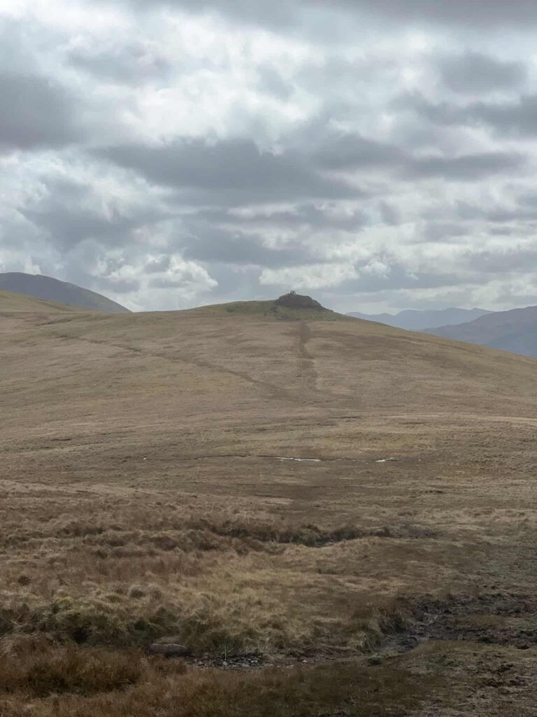
After we’d visited Watson’s Dodd we started to descend, skirting around the rocky outcrop of Calfhow Pike (for now). We followed the path to the north, across some boggy sections, to the summit of Clough Head, marked by a trig point and amazing views over to Blencathra.
Trig point bagged, we made our way back the way we’d come, this time climbing up to the rocky Calfhow Pike.
From here we picked up a very faint path running down the hill, heading east. This starts gently but soon gets very steep and rocky in places, with scree on the paths which might be slippery in wet or icy conditions.
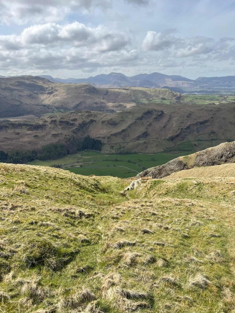
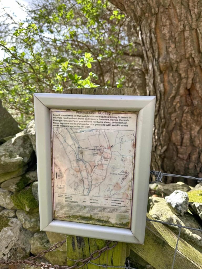
This path winds its way through rocky outcrops down to Fornside Farm, where a permissive path through the farmyard links back to the road through St Johns in the Vale. Beware the goose at Fornside Farm though – he is fierce, and charged us and pecked my boot!
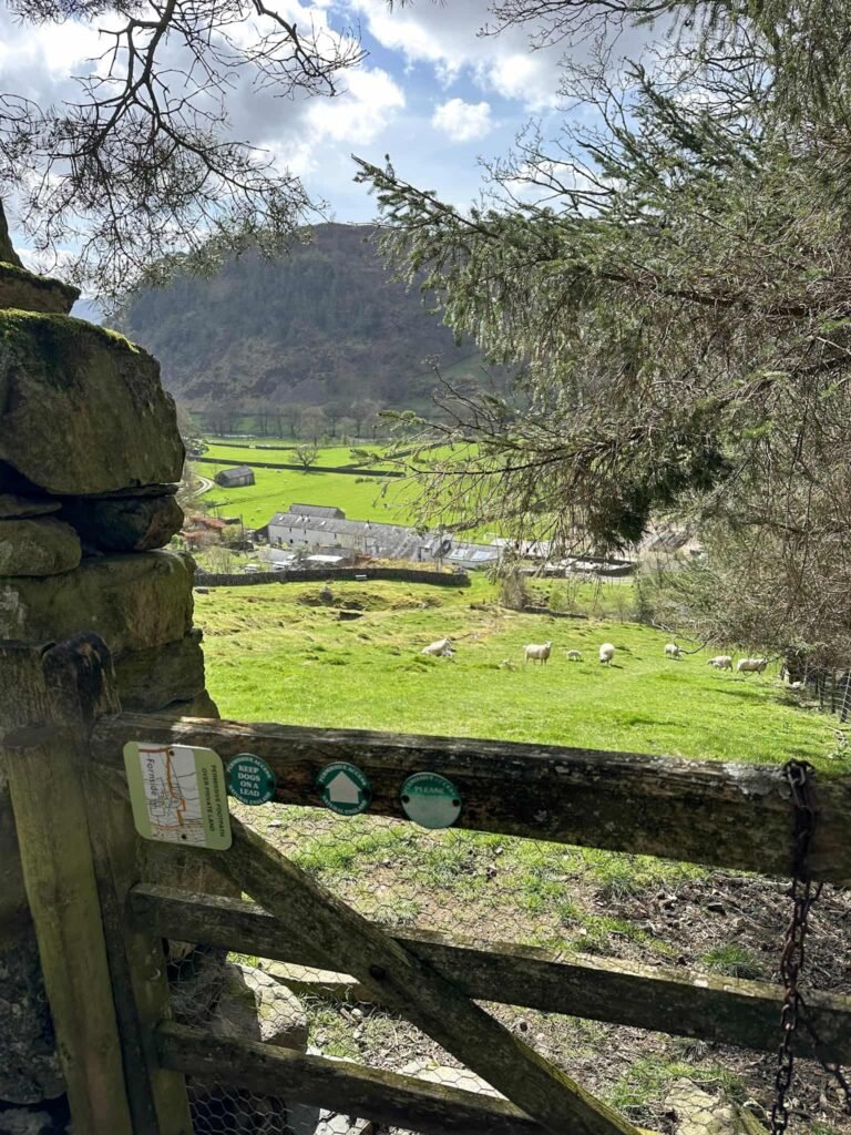
Leaving Fornside Farm and its guard goose, we turned left and walked along the road back to the car park. We then went to The Lodge in the Vale for a well earned piece of cake and a drink.

Walk Map (Opens in OS Maps): Stybarrow Dodd, Watson’s Dodd, Great Dodd and Clough Head Walk
Parking: Legburthwaite Car Park, Back Lane, St. John’s in the Vale, Keswick, Cumbria, CA12 4TW W3W:///decoder.carbon.bins.
Facilities: There are public toilets in the car park.
Walk Time: 5-6 hours
Difficulty: ▲▲▲
Distance: 8.23 miles (13.25km)
Trig Points Bagged: Clough Head
Wainwrights Bagged: Stybarrow Dodd (843m), Watson’s Dodd (789m), Great Dodd (857m) and Clough Head (726m)
You might also like: