Hathersage, Stanage Edge and Burbage Edge Walk | 11 Miles
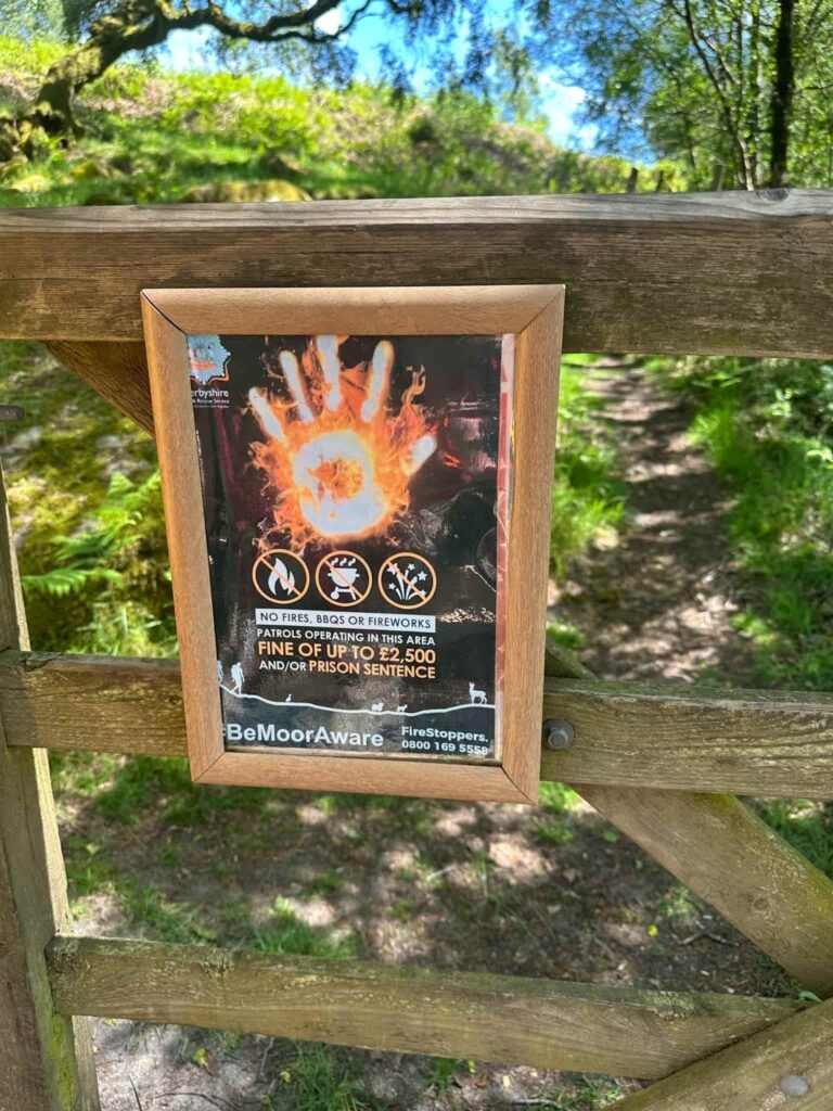
This walk explores the Eastern Moors of the Peak District and visits Stanage Edge and Burbage Edge, areas which were devastated by wildfire in recent years. This 11 mile walk starts from Hathersage and climbs up to Stanage to enjoy the sweeping views, before returning via the Longshaw Estate and Padley Chapel.
I completed this walk as part of the BMC Walking Weekend. This wildfire walk was devised by Patricia Wilkie to help the BMC Access & Conservation Trust raise money to protect the Sheffield Moors hiking and climbing area from wildfires. The walk involved representatives from the BMC, Moors for the Future, National Trust and the Peak District National Park.
There have been more than 12 wildfires on the Sheffield Moors since 2018, devastating 81.22 hectares (114 football pitches) of Peak District peatland and its associated wildlife (info from the BMC). This walk aims to show how special these areas are, and highlight how much they need protection from the causes of wildfires.
Hathersage, Stanage Edge and Burbage Edge Walk Overview
- Facilities – Cafes, pubs and toilets in Hathersage and the Longshaw Estate
- Distance – 11 miles
- Difficulty – Moderate
- Route type – Circular
- Start point – Alpkit, Hathersage
- Terrain – Fields, riverside paths, woodland trails and moorland tracks
Key Landmarks on This Walk
This walk includes several well known Peak District landmarks:
- Hathersage village centre
- North Lees House, the inspiration for Thornfield in Jane Eyre
- Stanage Edge
- Burbage Edge
- Longshaw Estate
- Padley Chapel
I parked in Hathersage car park, on Oddfellows Road, and walked past the church to Alpkit on Main Road, Hathersage. The public footpath runs between Alpkit and a large house with bay windows onto Baulk Lane, and follows this across the fields to Birley Lane.
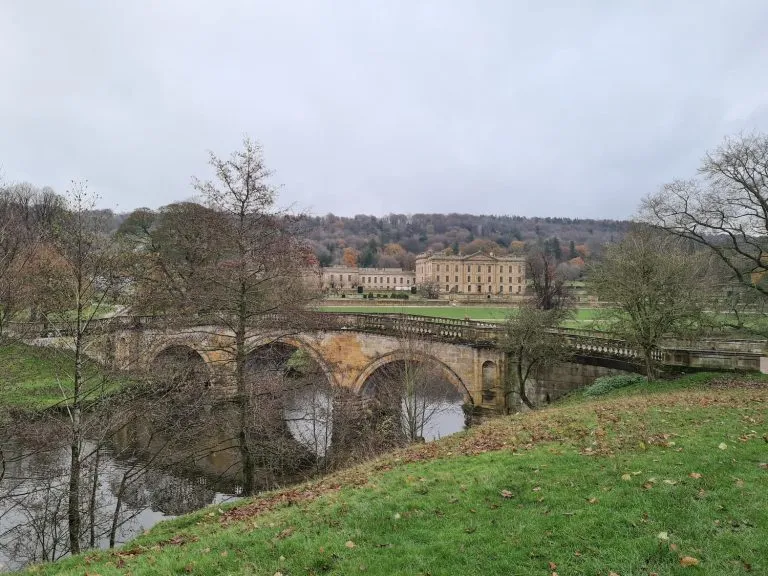
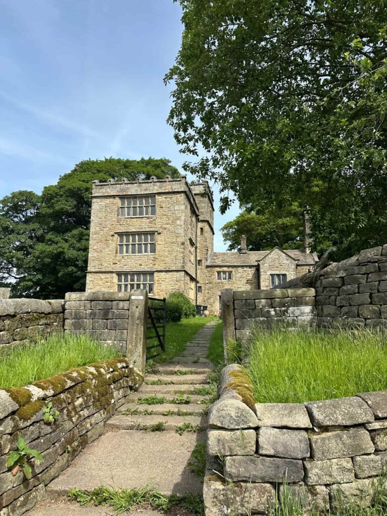
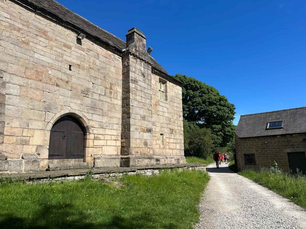
Turning right on Birley Lane, the route reaches a gated lane leading up to North Lees House. Through the gate and up the lane, the footpath runs past North Lees House, a stunning building said to be the inspiration for Thornfield Hall in Charlotte Bronte’s Jane Eyre.
We followed the lane past the house a short distance. The footpath turns sharply right at an old gate post and heads over a field. We reached a wooden gate, passed through into the woods and then followed the track to the roadside. Here there are some public toilets.
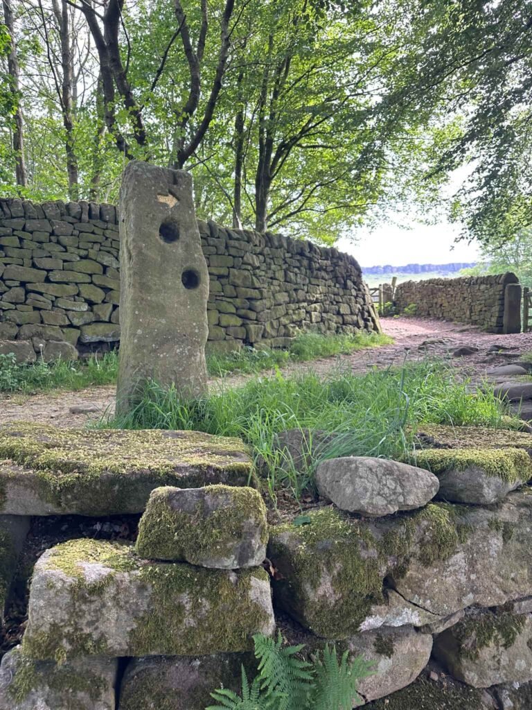
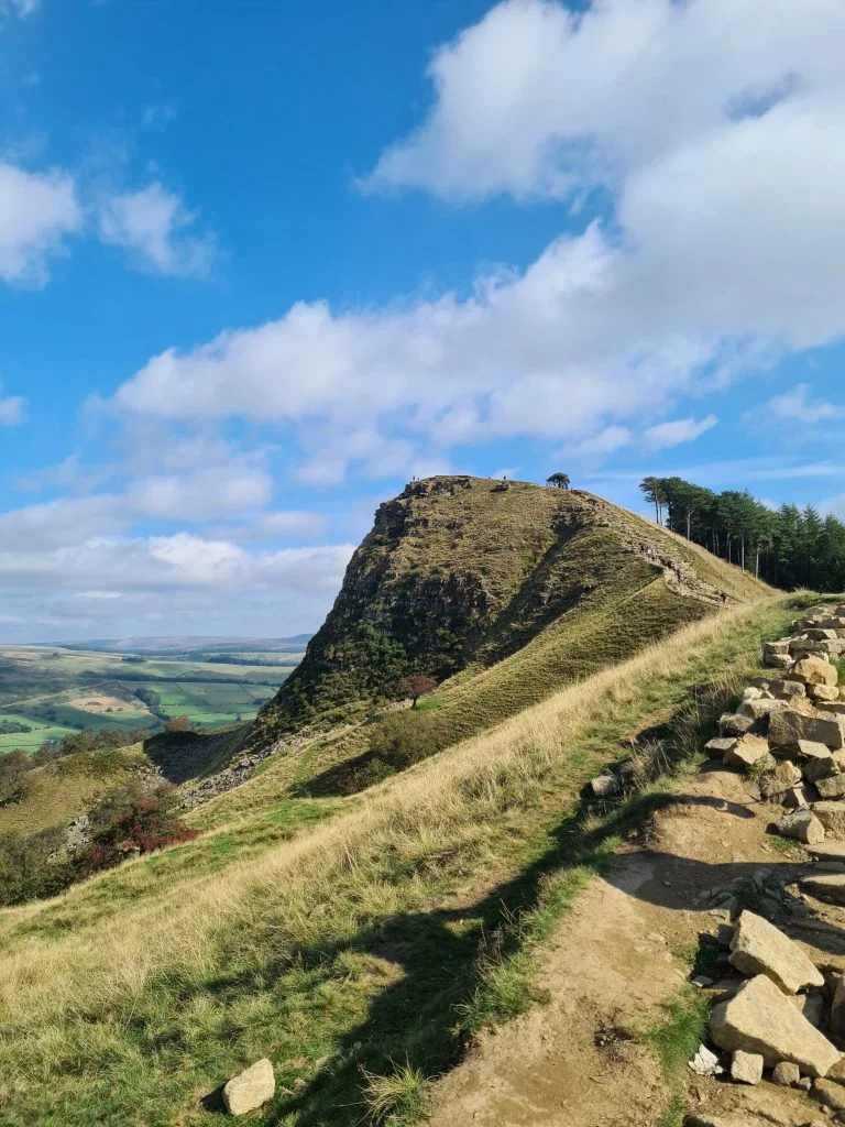
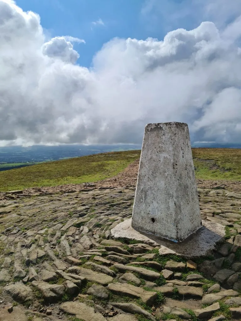
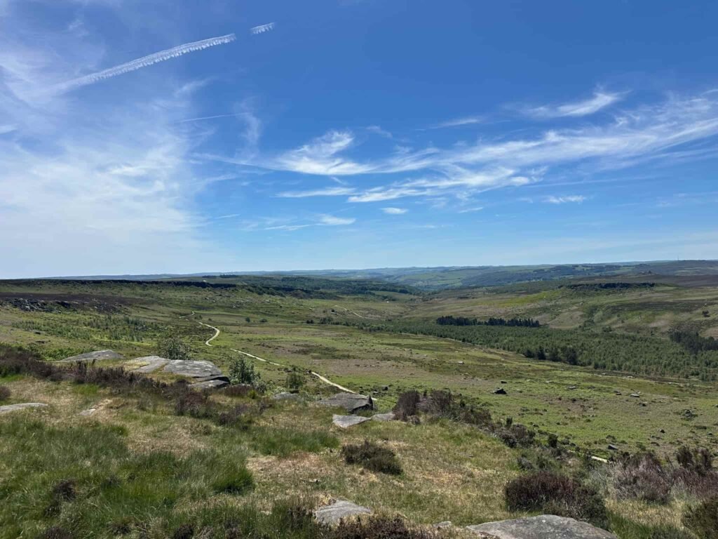
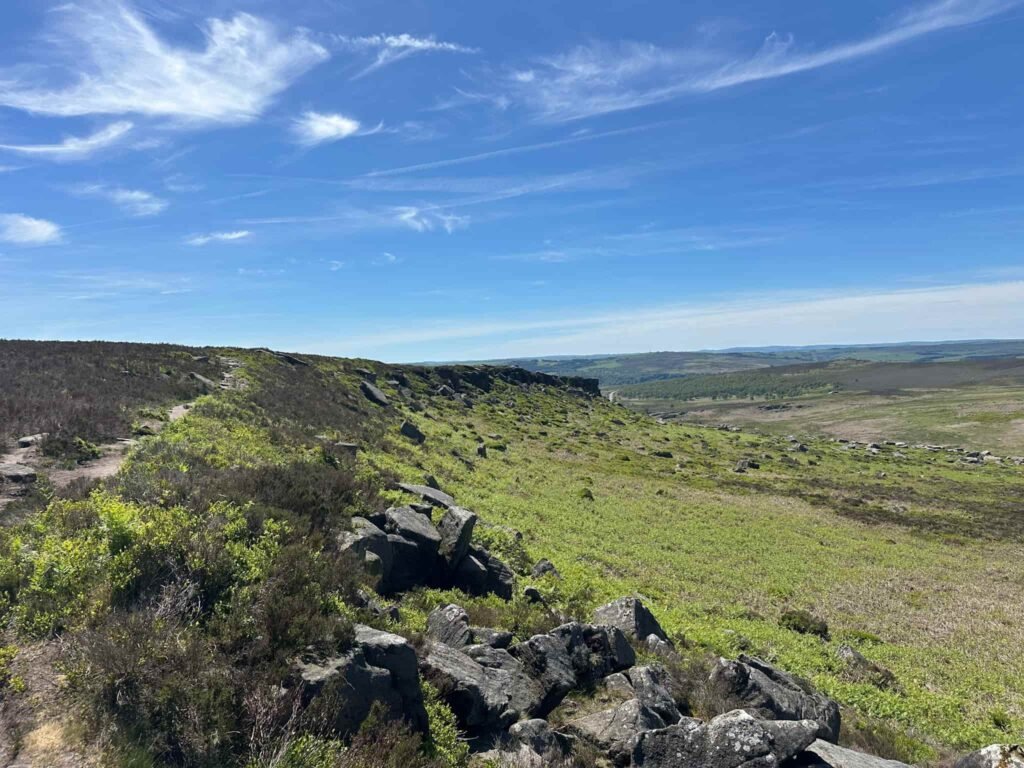
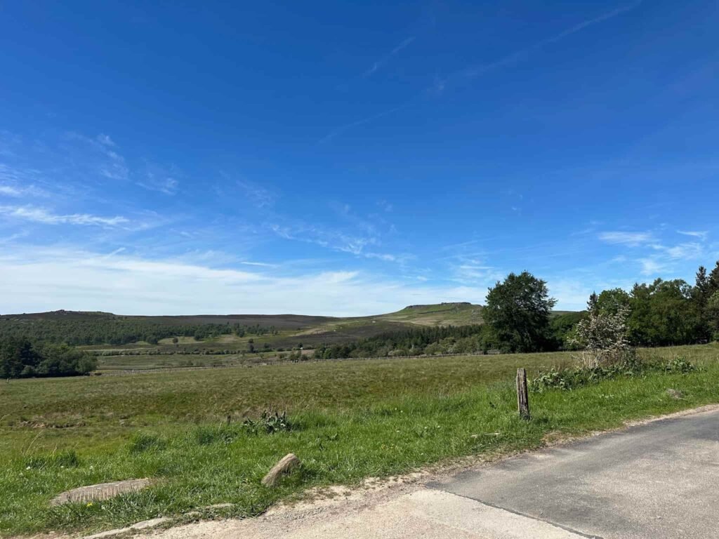
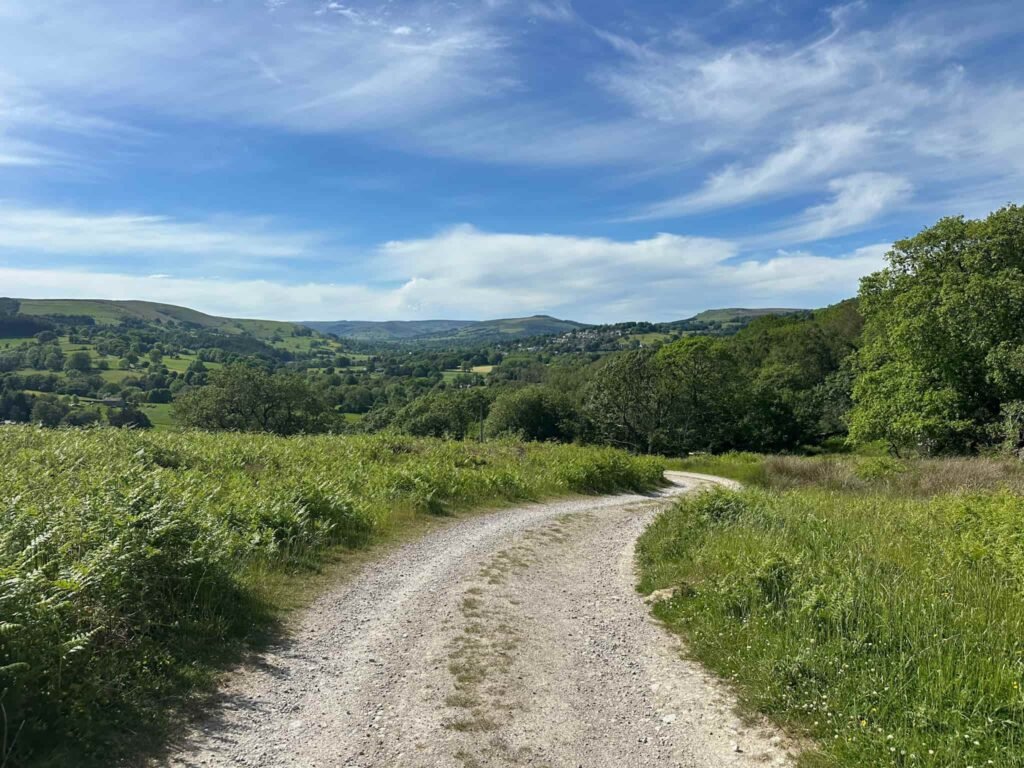
Crossing the road, the route climbs steadily up onto Stanage Edge then turns right. We followed the Edge to the White Path Moss (aka Stanage Edge) trig point, and across to Upper Burbage Bridge car park.
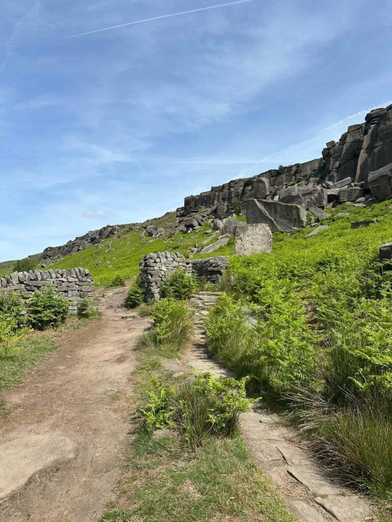
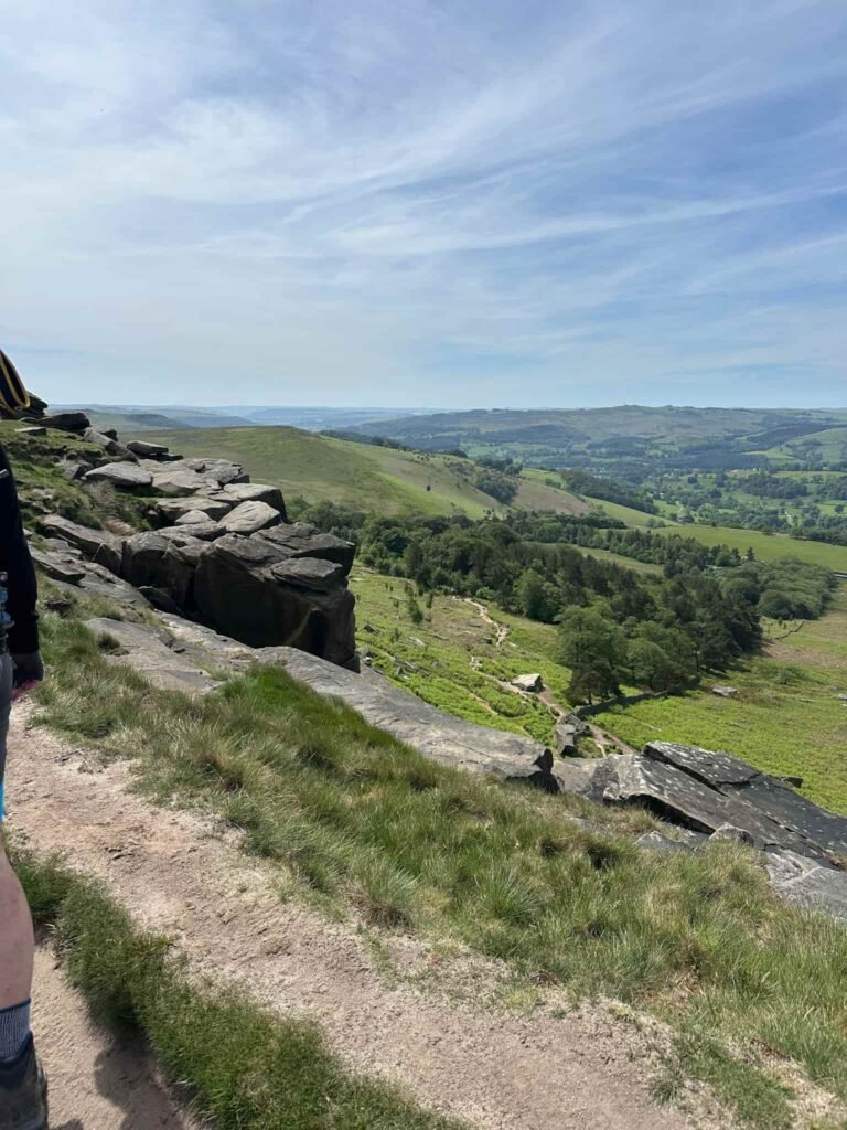
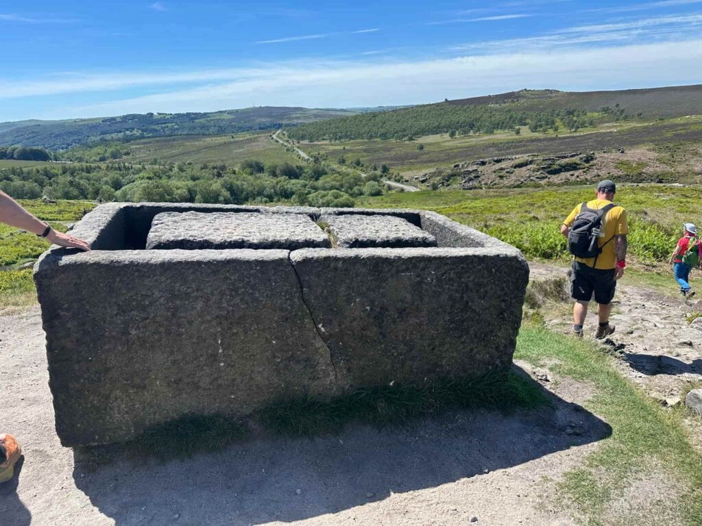
We walked along Burbage Rocks, following the path until we reached the road (A6187), passing an old stone trough abandoned midway through being carved. We crossed the road and went down the driveway to the Longshaw Estate. This parkland is now owned by the National Trust.
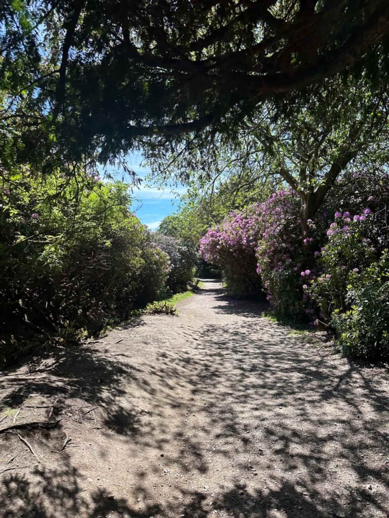
The route follows the track running in front of the cafe and picnic area and heads down through Granby Wood with its beautiful lake.
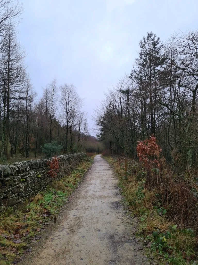
We walked down through Yarncliff Woods, descending steeply to meet the B521, and crossed over to pick up the path to Grindleford Station.
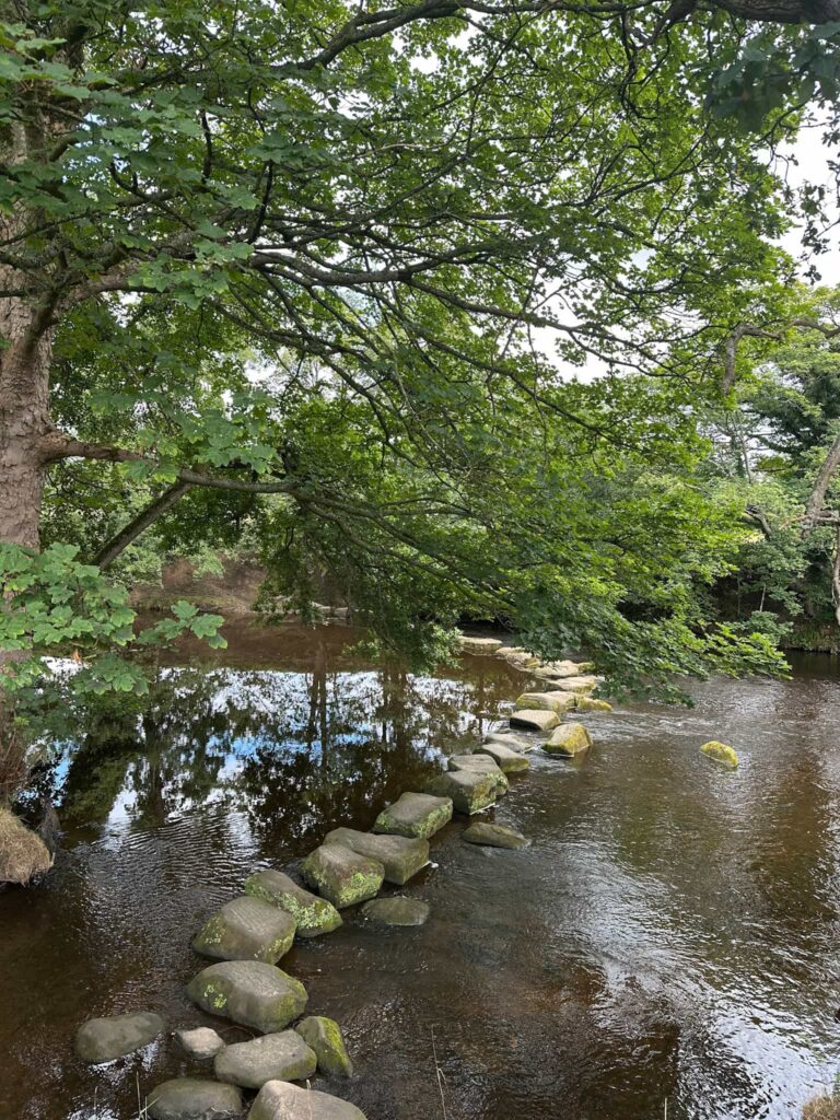
The trail heads north to cross Burbage Brook before the old mill, and then passes Padley Chapel and the ruins of Padley Manor, an Elizabethan manor house belonging to the Fitzherbert family.
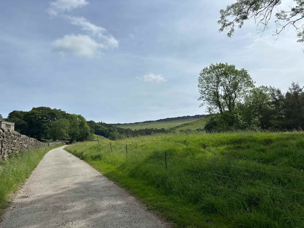
From here we followed a track passing Brunts Barn, through Oxhay Farm to Greenwood Farm, and then went downhill, under the railway. Turning right to follow the river, the trail then joins the B6001 at Leadmill Bridge and we followed the road back into Hathersage.
This was a great walk for an even greater cause. Each year there seem to be more and more wildfires, so any little we can do to help contributes to vital conservation work that safeguards this high-risk area, not only for the climbers and walkers who love it now, but for future generations.
Walk Map (Opens in OS Maps): Wildfire Walk – Hathersage, Stanage Edge and Burbage Edge
Parking: I parked in the car park on Oddfellows Road, Hathersage S32 1DD and it cost £6.90 for the day. W3W:/// sharpened.shears.prowling
Facilities: There is a public toilet in the centre of Hathersage and numerous bars, shops and cafes. There are public toilets at North Lees, and the route passes through the Longshaw Estate where there is a cafe and toilets.
Walk Time: 4-5 hours
Difficulty: ▲▲ – there’s one steep climb up onto Stanage Edge
Distance: 11 miles (17.9km)
Elevation: 1591ft (484m)
Trig Points Bagged: White Path Moss (Stanage Edge)
Peak District Ethels Bagged: White Path Moss (Stanage Edge)
You might also like: