Jane Eyre Trail – Hathersage | 5 Miles
I love reading classic books and Jane Eyre is one of my all time favourites. I only learned recently that there is a Jane Eyre trail in Hathersage, visiting some of the places that inspired the novel including North Lees House and Stanage Edge. Here’s our version of the Jane Eyre trail!
This Jane Eyre trail walk is just over 5 miles long and passes some of the buildings that inspired those in the book. It also heads up onto Stanage Edge, which is where they filmed part of the BBC’s Jane Eyre adaption with Ruth Wilson. It’s very likely that Stanage Edge inspired the moors mentioned in Jane Eyre.
We started out in Hathersage at The George Inn. In 1845 Charlotte Bronte arrived here to stay with a friend and the pub was run by a landlord called Morton. Charlotte used his name as the name of the village (Morton) where Jane Eyre works as a schoolteacher later in the novel.
Our Jane Eyre trail passed through the village of Hathersage until we reached Baulk Lane. We followed the footpath for almost a mile, passing a large house with tall chimneys. This building is Brookfield Manor and was the inspiration for Vale Hall, the home of Rosamund Oliver, in Jane Eyre.
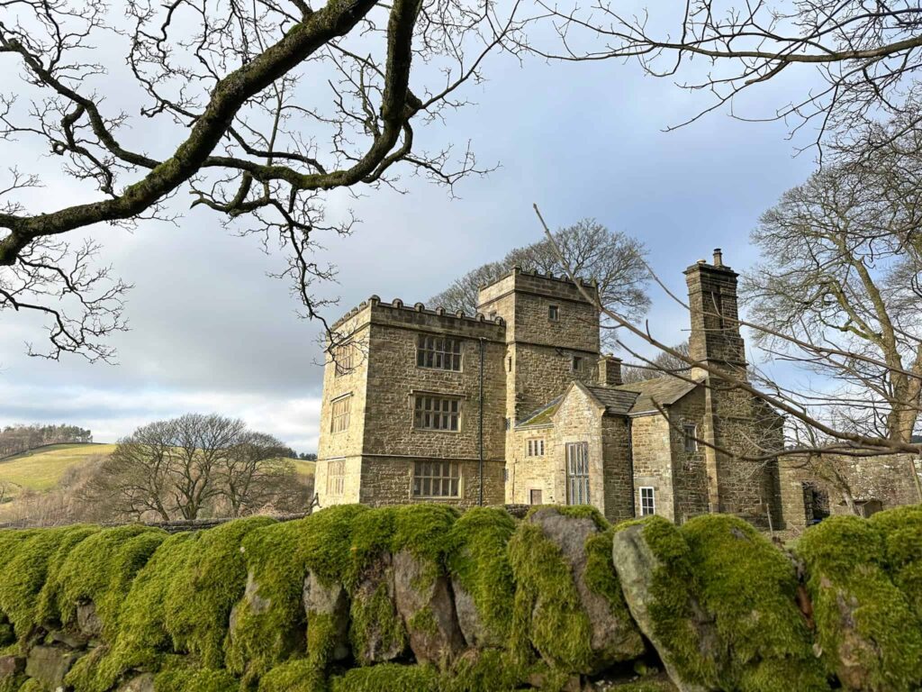
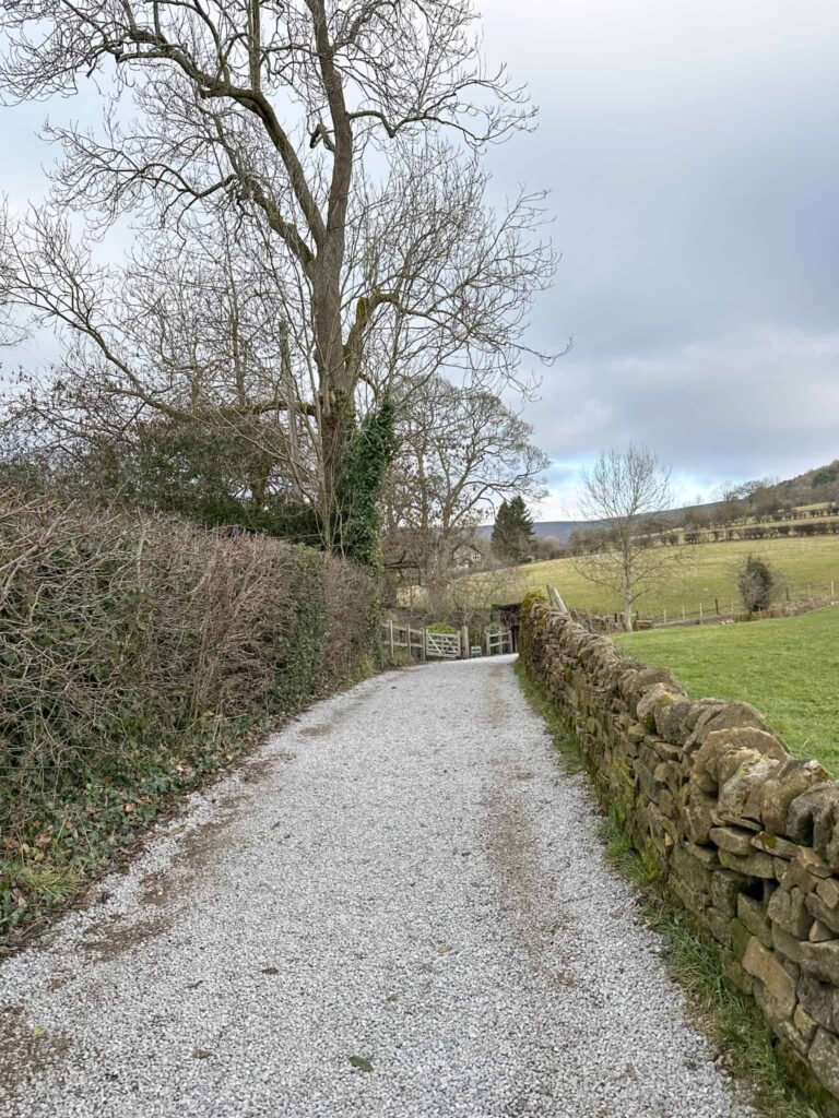
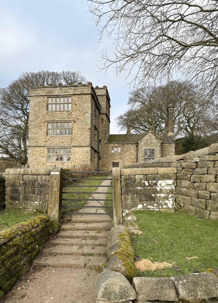
We continued along the track, forking left to reach a gate on the roadside. We turned right up the road, passing Bronte Cottage on the left, and reached the start of the driveway to North Lees Hall. North Lees Hall is the inspiration for Thornfield in the book, and you can well imagine the occupant in the attic rooms as you pass! North Lees Hall was built by the Eyre family in the early 1590s. Local legend tells that Agnes Ashurst, one of the early mistresses of the hall, was imprisoned as a madwoman and died in a fire – maybe this was another inspiration for the story? The name is an amalgamation – Thorn is an anagram of North and Lees is another word for Field.
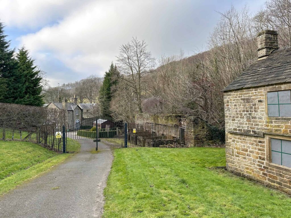
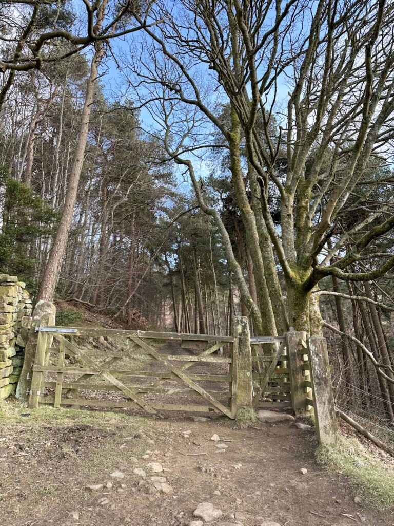
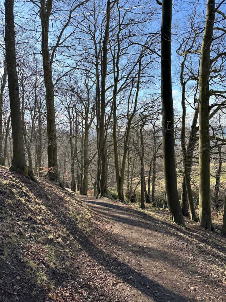
The footpath turns sharply right and heads over a field. We reached a wooden gate, passed through into the woods and then followed the track to the roadside. Here there are some public toilets.
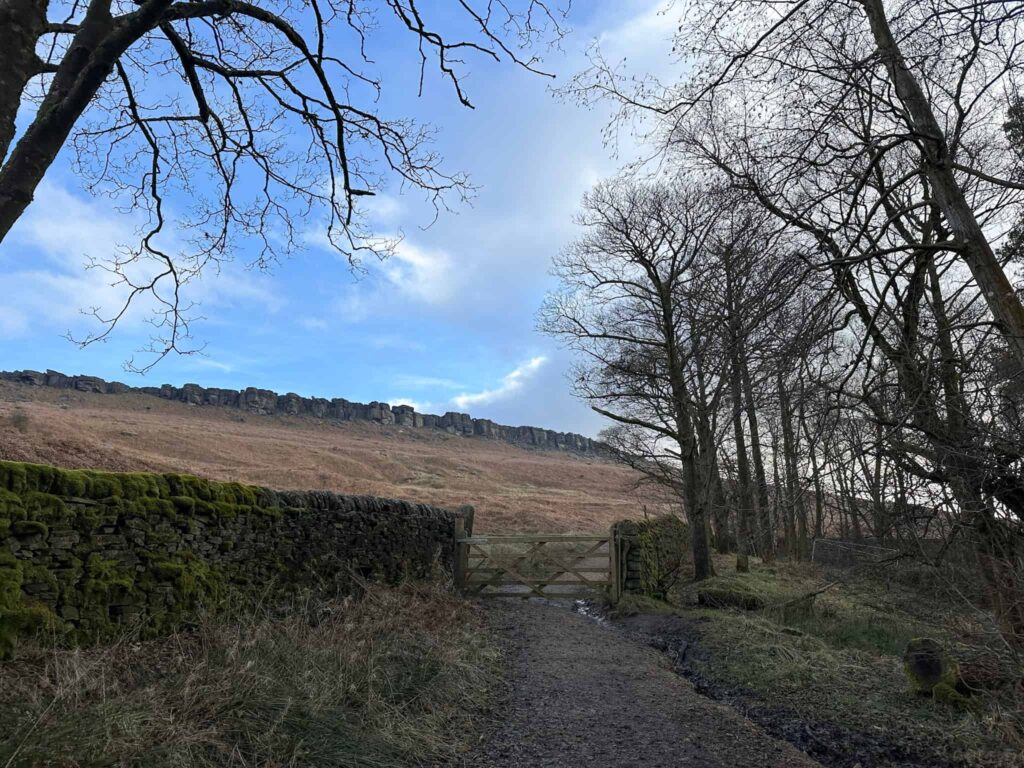
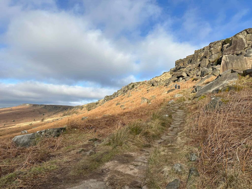
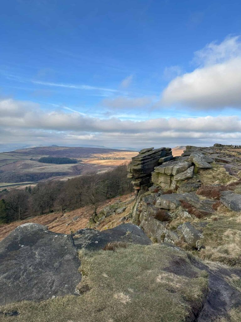
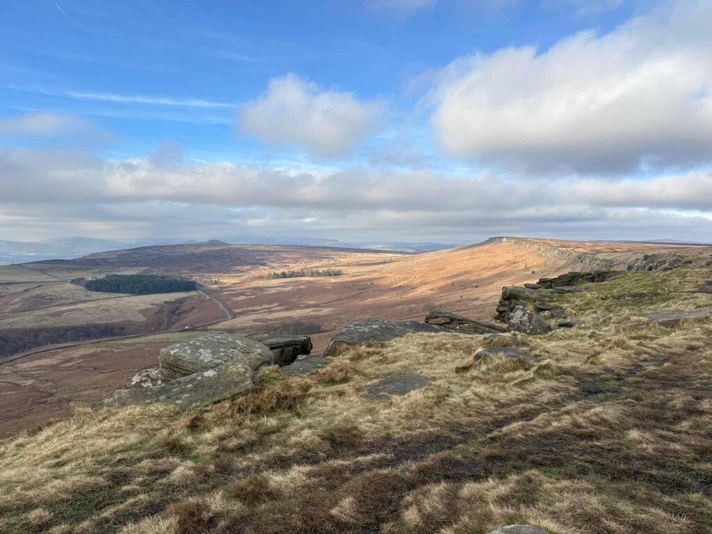
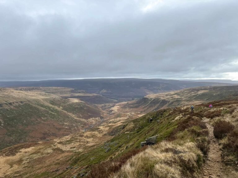
We crossed the road and followed the obvious path up onto Stanage Edge.
Stanage Edge is a beautiful place in its own right but is packed with history – the Long Causeway running along the Edge is a medieval packhorse route from Sheffield to Hathersage, Robin Hood’s Cave is thought to be the site of a hideout of the famous outlaw and parts of Stanage Edge were used as quarries for grindstones (millstones). Nowadays it’s a really popular place for walkers, runners and climbers and is likely to be busy when you visit.
In the book Jane flees to the moors after leaving Thornfield and is rescued by St John Rivers before starting a new life teaching in Morton.
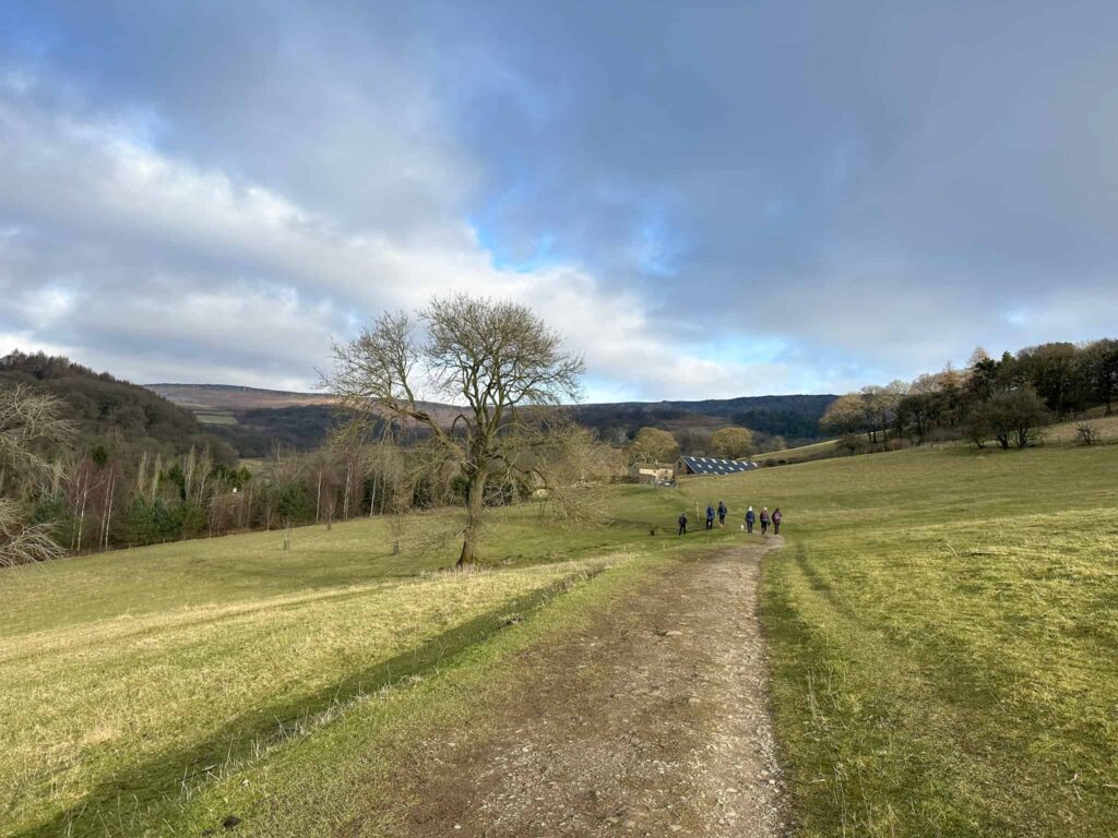
We headed south along the Edge for around 0.6 miles/1km and then took the path down towards the car park. Turning left from the car park we reached the junction with Hathersage Road and turned right, following the road for a short distance to reach a public footpath.
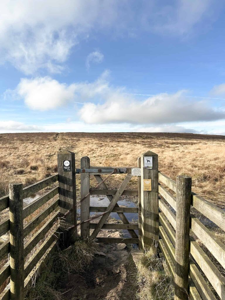
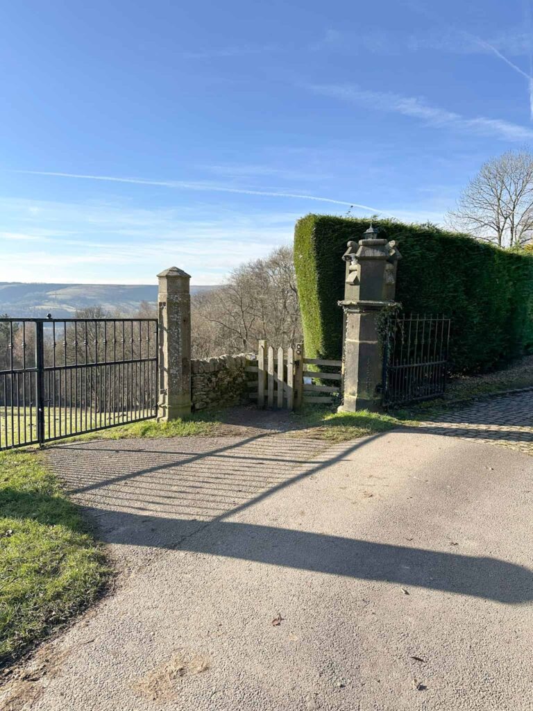
The footpath leads over Cattis-side Moor and will be lovely and quiet compared to Stanage Edge! We didn’t see another person as we approached Carrhead Rocks. Passing the rocks, the path starts to drop down and meets a track. We passed over a cattle grid and through some farm buildings and then into the grounds of Moorseats. There is a stile to the left of the gate, and the footpath runs right through the yard of the property. Moorseats was the inspiration for Moor House, the home of the Rivers family, in the book and is really difficult to get a photograph of.

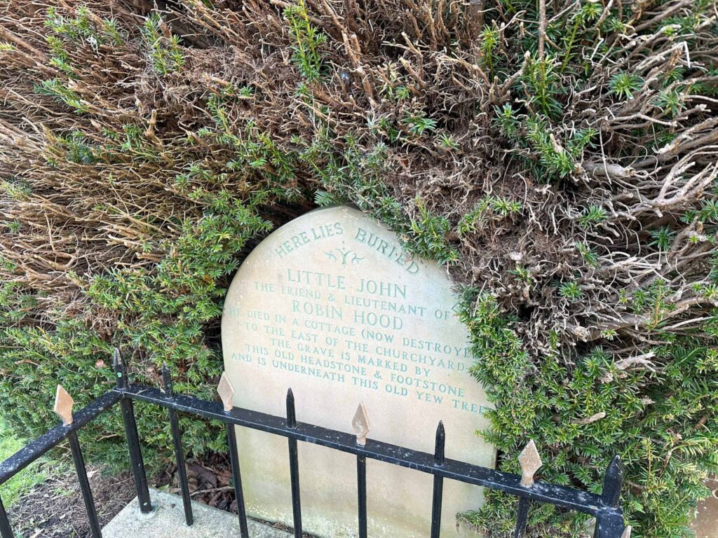
Passing the gateposts of Moorseats, the footpath turns sharply back on itself and passes through a small wooden gate before passing through Moorseats Wood. There is a gate in the wall near the stream – pass through this and over the muddy fields and leads into the churchyard entrance. Here you can see the grave of Robin Hood’s second in command, Little John.
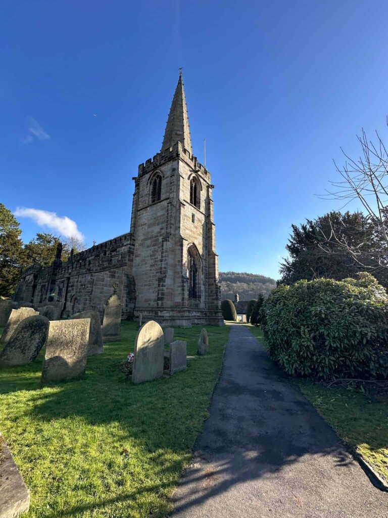
We had a quick look at the grave and then set off through the churchyard, heading down the hill and onto a footpath which rejoins Baulk Lane. From here we retraced our steps and went for some lunch in the Outside cafe. There are lots of pubs and cafes in Hathersage to choose from.
This route is inspired by a walk devised by Bill Bevan and James Tolhurst as a Moors for the Future audio trail.
Jane Eyre Trail Walk Details:

Walk Map (Opens in OS Maps): Jane Eyre Trail
Parking: We parked in the car park on Oddfellows Road, Hathersage S32 1DD and it cost £6 for the day. W3W:/// sharpened.shears.prowling
Facilities: There is a public toilet in the centre of Hathersage and numerous bars, shops and cafes.
Walk Time: 3-4 hours
Difficulty: ▲▲ – there’s one steep climb up onto Stanage Edge
Distance: 5 miles (8.2km)
Elevation: 1175ft (358m)
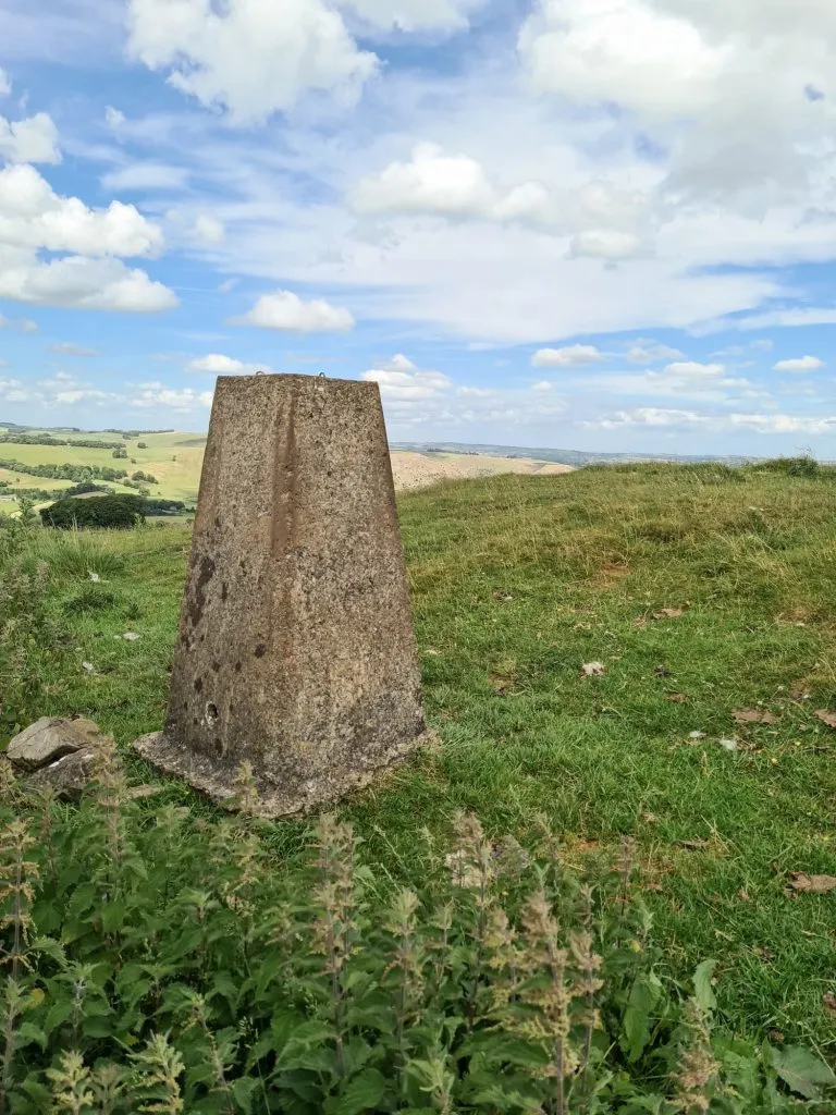
Trig Points Bagged: None
Peak District Peaks Bagged: None
Peak District Ethels Bagged: None
For more Stanage Edge walks you might like:
- Redmires to Stanage Edge Walk (With Spooky House)
- Stanage Edge Circular Walk | 7 Miles
- Scenic Bamford Edge and Stanage Edge | 9 Miles
- Hathersage, Stanage Edge and Burbage Edge Walk | 11 Miles
For more walks from near Hathersage you might like:
Other short walks:

Thanks. Can you still turn right to go past the farm buildings after the Carhead Rocks as this has signs saying private. Cheers
Hi Steve, thanks for your comment. The route follows a path over open access land to the lane by Kimber Court Farm and then uses a public footpath through the farm buildings. Make sure you’re on the public footpath and not going up a driveway! Check the OS Map for the correct route, just to be sure.
Enjoy your walk 🙂