• 3 Mile Walks or Less
  • 4 Mile Walks
  • 5 Mile Walks
  • 6 Mile Walks
  • 7 Mile Walks
  • 8 Mile Walks
  • 9 Mile Walks
  • 10 Mile Walks
  • 11 Mile Walks
  • 12 Mile Walks
  • 14 Mile Walks
  • 15 Mile Walks
  • 20+ Mile Walks

The Wandering Wildflower

Peak District Hikes

  • PEAK DISTRICT WALKS
    • SHORT WALKS UNDER 3 MILES
    • MEDIUM WALKS 4-9 MILES
    • LONG PEAK DISTRICT WALKS 10 MILES +
  • PEAK DISTRICT WALKS WITH PUBS
  • PEAK DISTRICT WALKS WITH KIDS
  • HOLMFIRTH WALKS

Bamford Edge, Stanage Edge, Higger Tor, Surprise View | 15 Miles

February 18, 2025 CIRCULAR WALKS, LONG PEAK DISTRICT WALKS 10 MILES +, PEAK DISTRICT WALKS, PEAK DISTRICT WALKS WITH PUBS

This walk explores the gritstone edges of Bamford Edge and Stanage Edge, including the cave known as Robin Hoods Cave, then heads over to Higger Tor and Carl Wark before visiting Surprise View. The route then returns along the Derwent Valley Heritage Way. This is a great route if you’re ticking off the Peak District Ethels – you bag 3 in this 15.5 mile walk, plus 2 trig points.
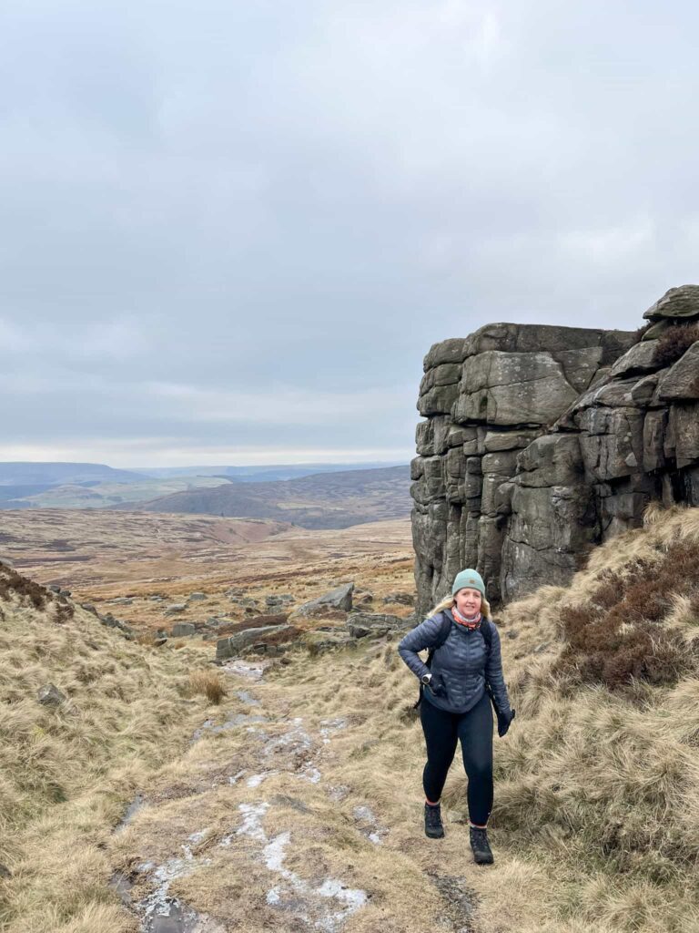
Robin Hoods Cave

The route also explores the cave most people know as Robin Hoods Cave on Stanage Edge, where Robin Hood apparently hid – it’s really called the Balcony Cave (for obvious reasons). The proper Robin Hoods Cave is a short distance away but involves more of a climb down and we didn’t attempt it on this walk. The Balcony cave is a really cool place to explore but does involve a clamber through a cave tunnel which is really wet – there are a couple of stepping stones to help keep your feet dry! Be warned though – it gets really busy. We visited on a freezing cold Friday in February and had it to ourselves for 3 minutes before a hoard of people came! It seemed like everyone on Stanage Edge wanted to escape the cold in the cave that day!

Robin Hoods Cave, Stanage Edge

View from Balcony Cave (also known as Robin Hoods Cave), Stanage Edge

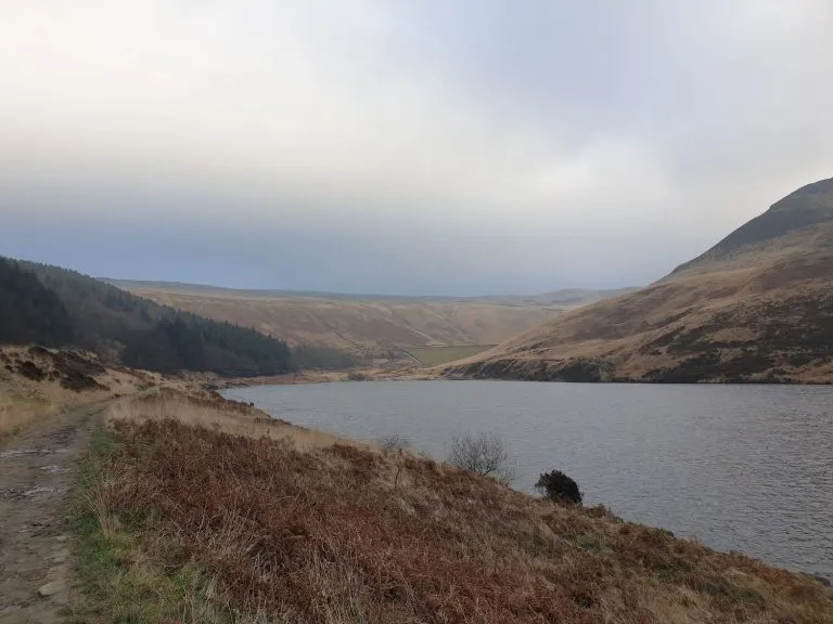
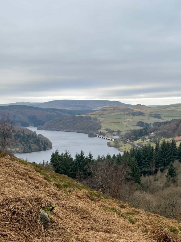
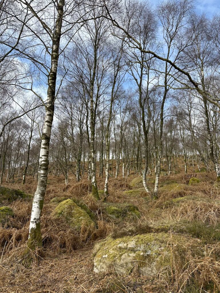
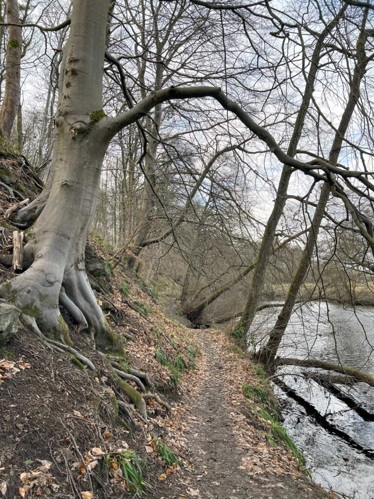
Our route starts from Heatherdene car park and heads up on a steep track through the woods. There are some arrows on signposts to help guide you up onto the Open Access Land over a stile. The views back down over Ladybower Reservoir and Win Hill are stunning.

Steep woodland path up through some trees

A wooden stile and some very gnarly old trees

A view of Ladybower Reservoir and Crook Hill

Stunning views (and a chance to catch your breath because it’s a steep slog up!)

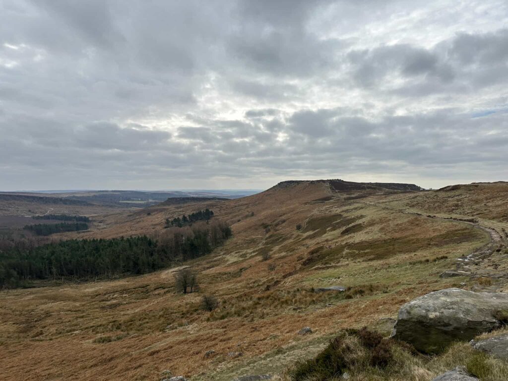
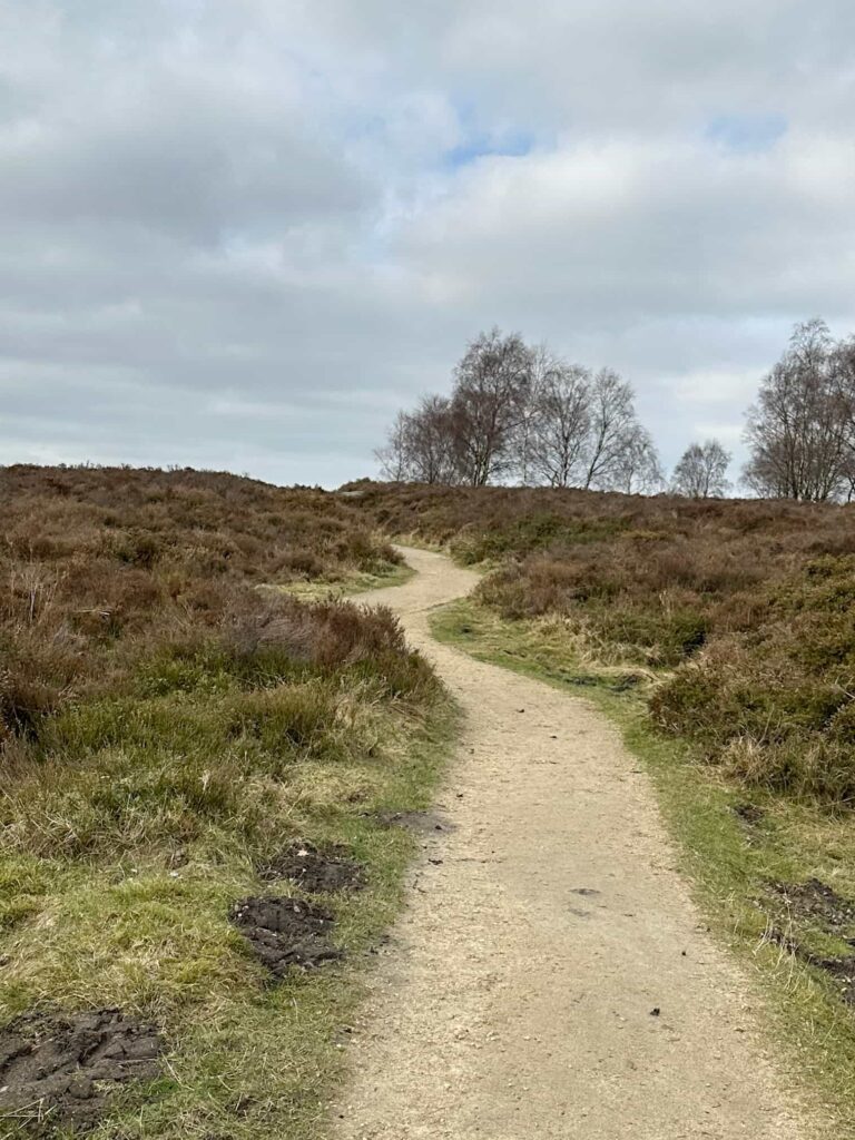
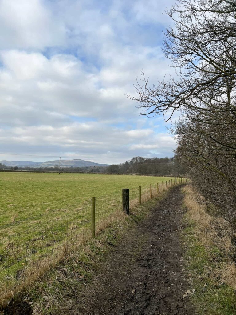
We turned right and continued south along Bamford Edge until the route turned away from the edge and climbed up slightly. A short distance from here the route heads off over Moscar Moors on a well used trod before climbing up between the imposing rocks at Crow Chin.

A moorland view

Turning away from Bamford Edge, take the left hand fork onto the small ridge

A rocky cliff face on the moors

Crow Chin – I’d love to know where the name comes from!

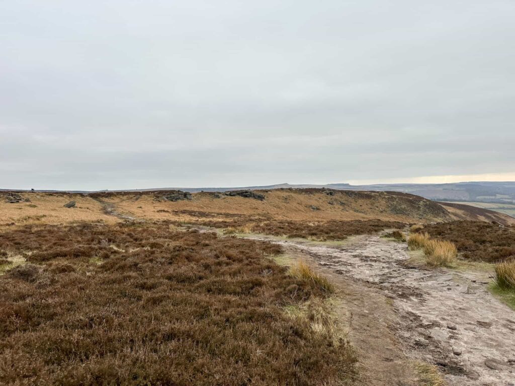
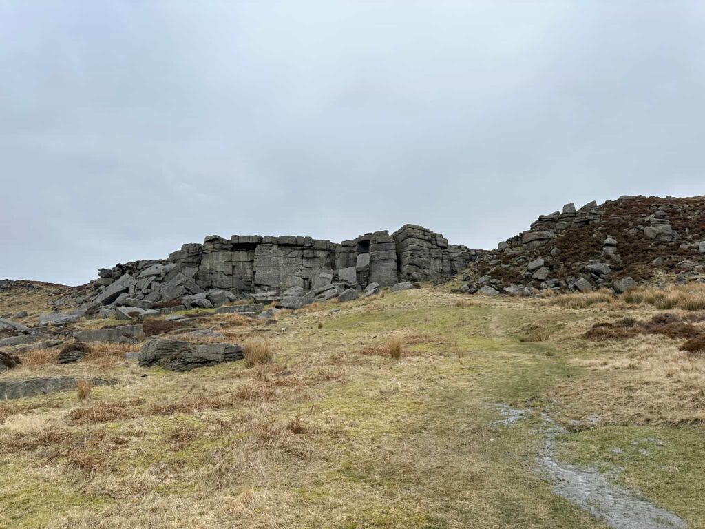
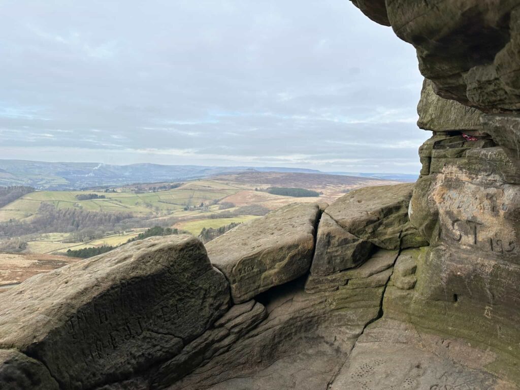
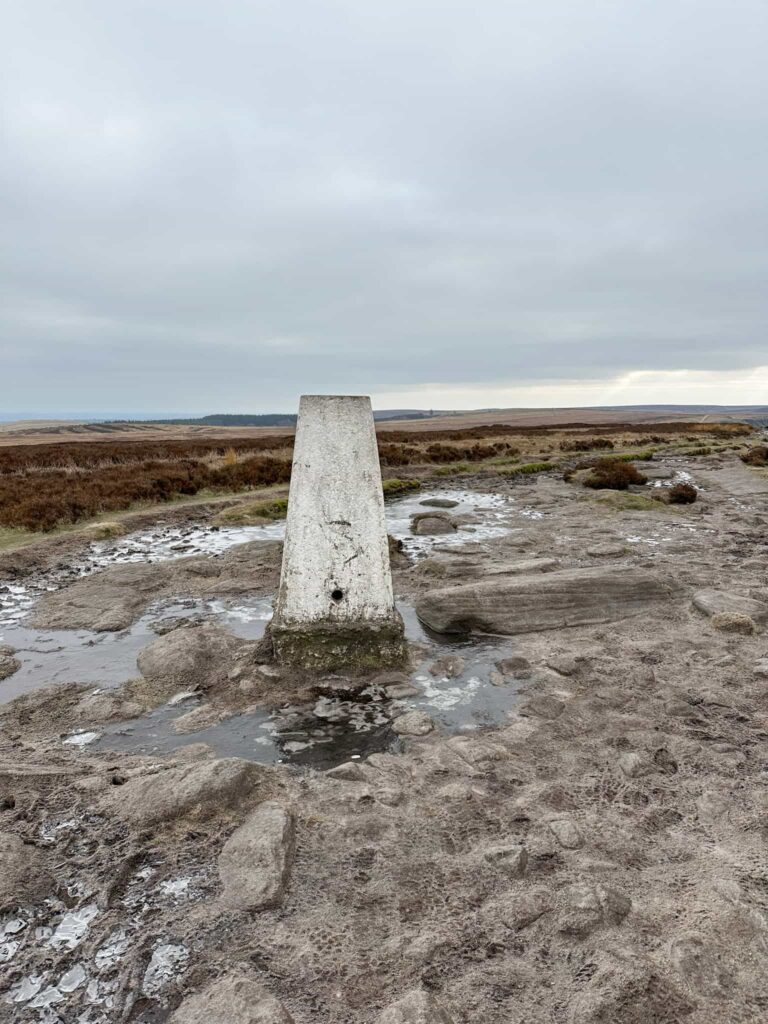
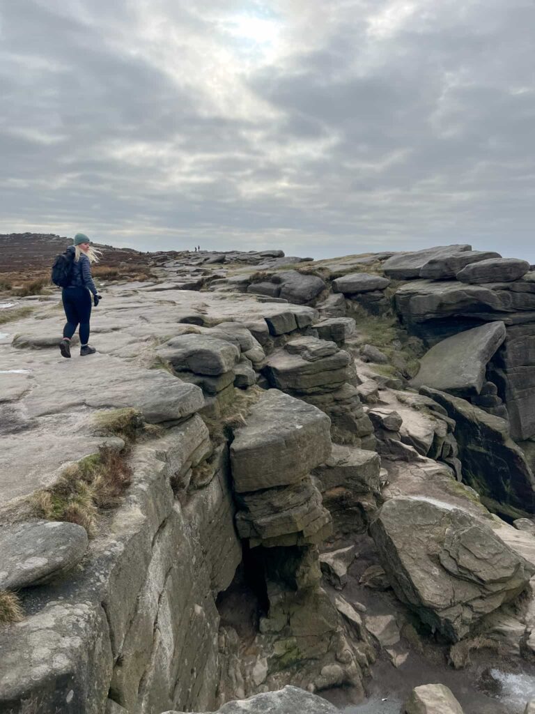
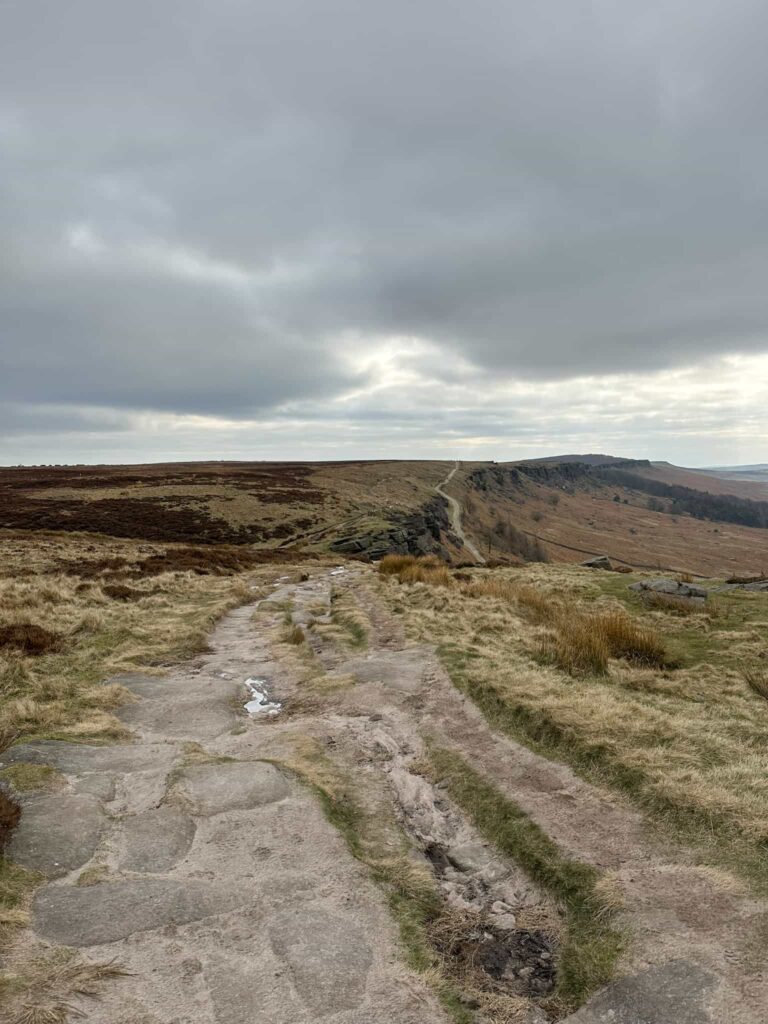
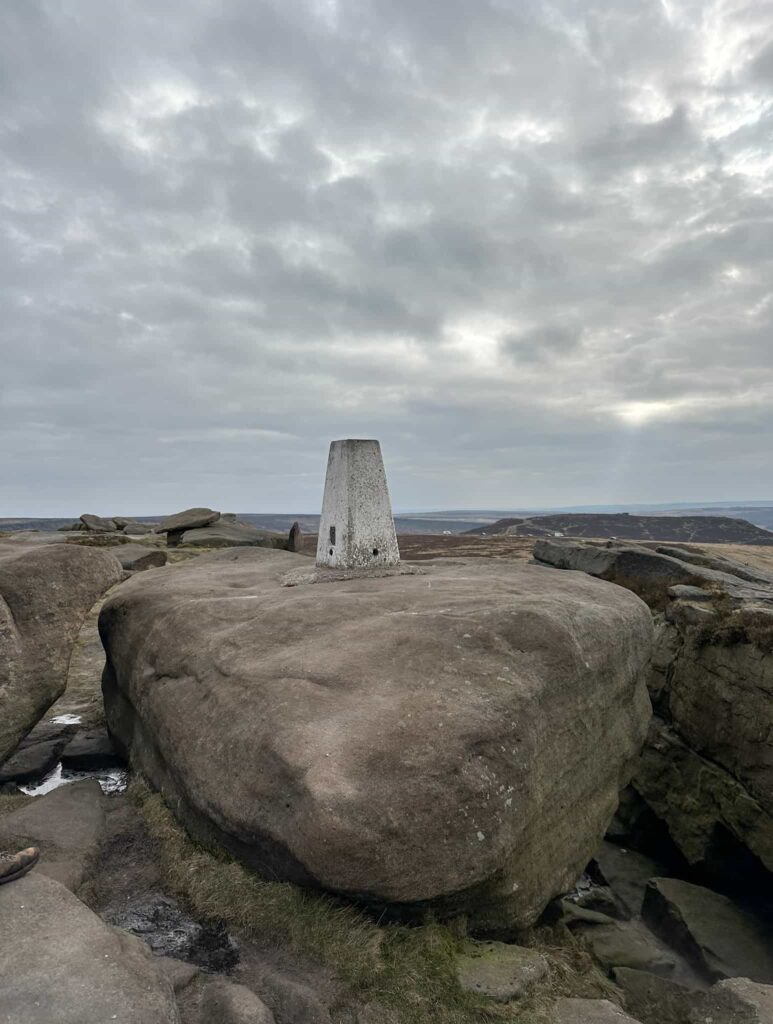
Turning right and heading south-east, it wasn’t long before we reached the first trig point of the day – High Neb. This end of Stanage Edge is always so much quieter than the other! We walked along Stanage Edge, joining the medieval packhorse route of Long Causeway, and came to Robin Hoods Cave/Balcony Cave.

A stone with a dip for water collection and the number 12

One of the numbered grouse water holes

High Neb trig point

High Neb trig point

A woman walking on a gritstone edge

The top of the clamber down to Robin Hoods Cave


A man in a cave

Climbing through to get to Balcony Cave

A woman in a cave

The view back through from Balcony Cave

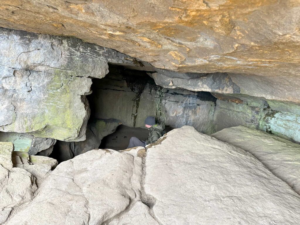
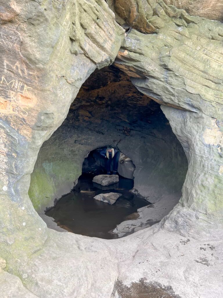
There is a well worn path that leads down into an open area and you can see the cave balcony. The best way to get into the cave is to head to the back of the open area where there’s a cave tunnel – there is some clambering over rocks involved here, and it’s probably not good if you’re claustrophobic. Passing through the chamber with its own moat, the cave mouth opens up and there’s a natural balcony. If you want to see where the proper Robin Hoods Cave is, look out of the balcony to the right – it’s a triangular shaped opening in the rock face.


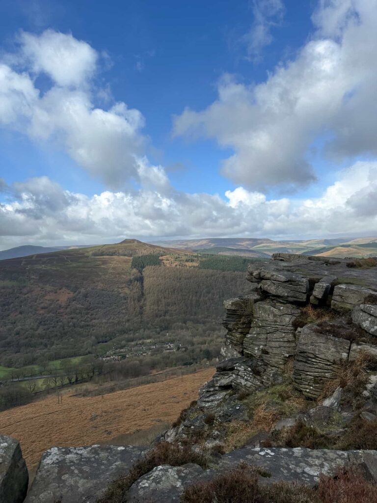
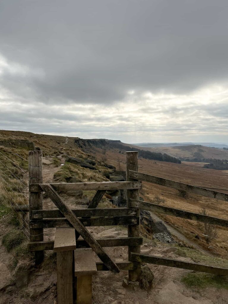
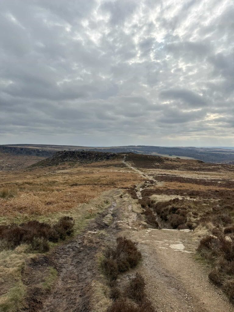
Heading back up onto Stanage Edge, we followed the Edge along to the White Path Moss/Stanage Edge trig point and down the track to Burbage Bridge car park. We followed the Fiddlers Elbow track up to Higger Tor then picked our way down through the rocks before heading over to Carl Wark, an Iron Age hillfort which has an interesting sightline to Mam Tor, 10 miles to the west.

A wooden stile on Stanage Edge

Stanage Edge

Stanage Edge

White Path Moss trig point on a rock

White Path Moss/Stanage Edge trig point

A moorland view of Higger Tor

A view over to Higger Tor with an obvious path

A view of Carl Wark, an Iron Age hillfort

Looking from Higger Tor to Carl Wark

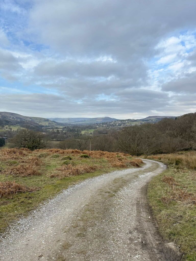
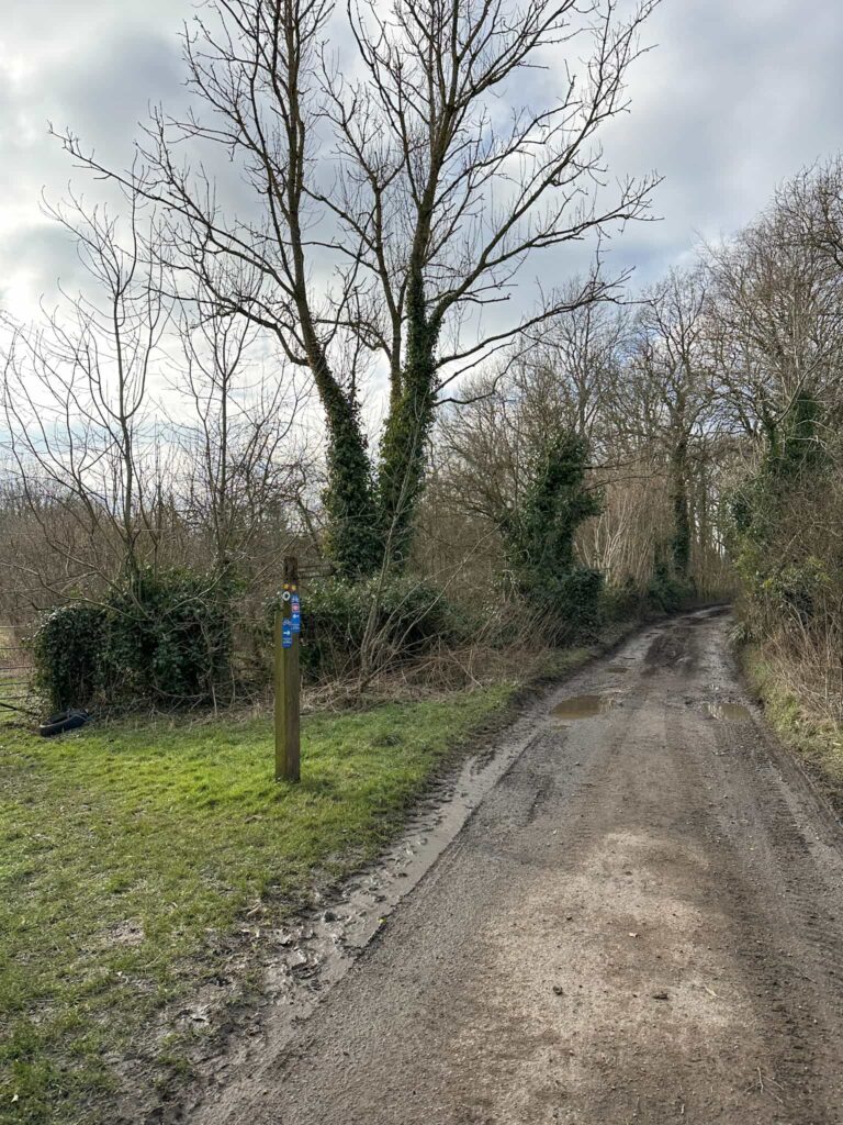
We headed up and over Carl Wark and then down to Toads Mouth. Rather than heading out onto the road, there is a faint path which runs alongside the road on the other side of the fence, and we followed this to Surprise View. Here we had to head onto the road to cross over, and followed it a short distance down the hill before taking the footpath to the left. This winds down a track past Greenwood Farm and under the railway.

A birch tree woodland

Birch trees near Surprise View

A wooden signpost pointing to Surprise View

Surprise View – I won’t ruin the surprise by showing the view

A light sandy path on the moors

The path to Surprise View

A stone gravel track

A track along the River Derwent

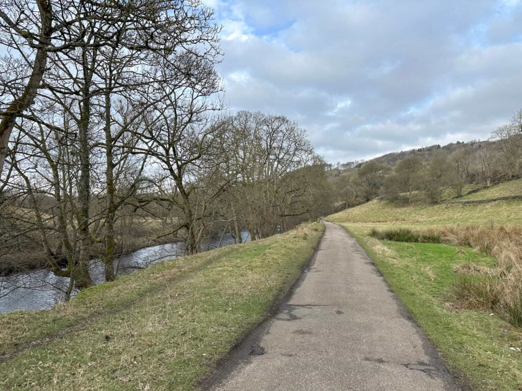
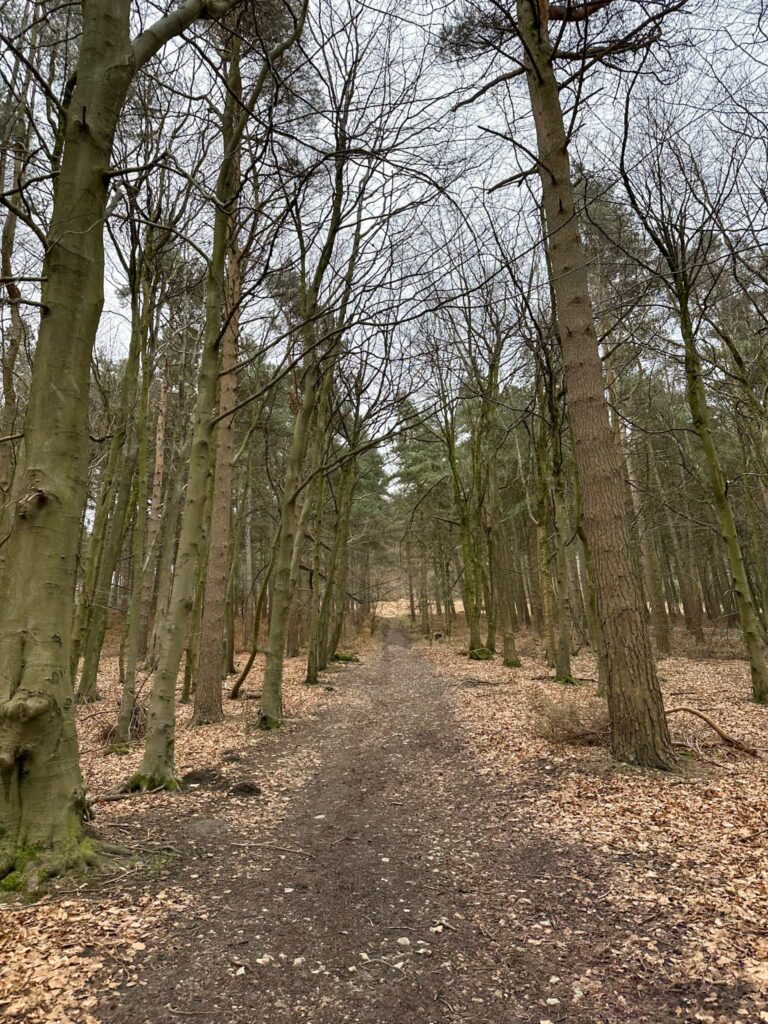
The path joins a driveway which runs alongside the River Derwent, passing the sewage works, and joins the B6001. We turned left, crossed the road and headed over the bridge before joining a footpath through the field leading into Goose Nest Wood. Parts of the path are VERY muddy!

A public footpath sign

A muddy riverside path

Derwent Valley Heritage Way – this was VERY muddy in February

A muddy path alongside the River Derwent

Hathersage Stepping Stones over the River Derwent

Hathersage Stepping Stones

A signpost

We turned right at this signpost to join the Thornhill Trail

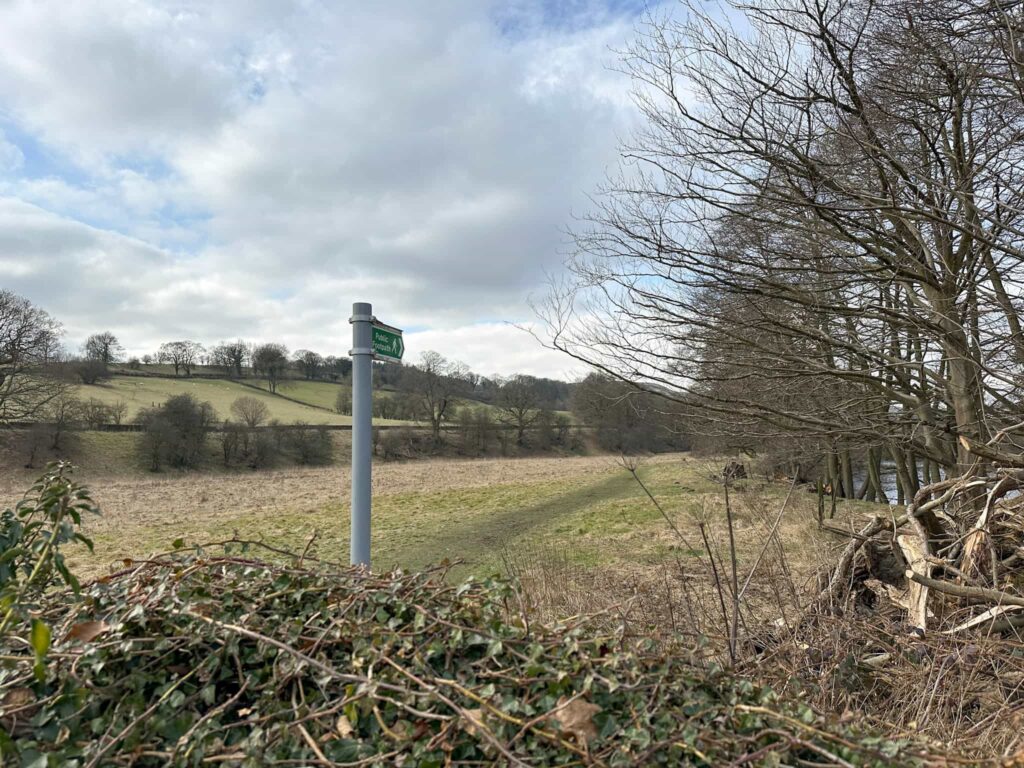
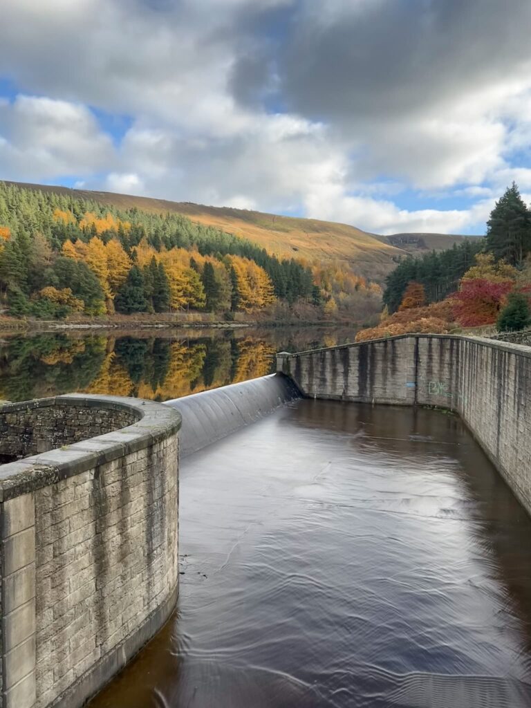
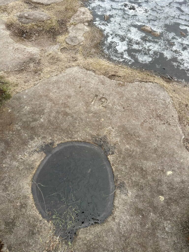
The Derwent Valley Heritage Way runs alongside the River Derwent for 5 miles, crossing the Hope Road and joining the Thornhill Trail. This relatively flat, well made trail leads back to Ladybower Reservoir and it’s famous plugholes, and from here it’s a short walk back to Heatherdene and the car. You could have a stop off at the Yorkshire Bridge Inn if you fancy it.


Walk Details:


Walk Map (Opens in OS Maps): Bamford Edge, Stanage Edge, Higger Tor and Derwent Valley Heritage Way

Parking: Pay and display in Heatherdene Car Park, Hope Valley S33 0BY W3W:///bleaker.skins.sponsors

Facilities: There are public toilets in the car park.

Walk Time: 6-7 hours

Difficulty: ▲▲▲

Distance: 15.5 miles (25km)

Elevation: 2025ft (617m)

Trig Points Bagged: High Neb, White Path Moss (Stanage Edge)

Peak District Ethels Bagged: High Neb, Stanage Edge, Higger Tor


For more walks you might like:
Bamford Edge Walk | 6 Miles
Bamford Edge – A Short Walk with Stunning Views | 2 Miles
Stanage Edge Circular Walk | 7 Miles
Jane Eyre Trail – Hathersage | 5 Miles

Tap to share with your hiking friends!

  • Facebook
  • Email
  • WhatsApp
« Three Monuments Circular Walk From Chatsworth | 7.5 Miles
Lathkill Dale Waterfall Walk | 7 Miles »

RELATED POSTS

  • Hathersage Stepping StonesHathersage Stepping Stones Walk | 7 Miles
  • Ladybower ReservoirLadybower Walk | 6 Miles
  • Anvil Stone, GrindsbrookGrindsbrook Clough Scramble to Grindslow Knoll | 7 Miles
  • Burbage Edge Circular Walk | 5 Miles

Leave a Reply Cancel reply

Your email address will not be published. Required fields are marked *

FIND YOUR NEXT WALK:

ABOUT ME

Y Garn with Kids - Y Garn via the Devil's Kitchen Walk in Ogwen Valley

Hello! I’m Jo! Welcome to The Wandering Wildflower, an outdoors lifestyle blog focusing on family walks in the Peak District, a place we love exploring. I want to share the Peak District hidden gems and show you there’s so much more than the honeypot places. When I’m not dragging my husband and now 11 year old out on Peak District walks or up mountains, I can be found on planning my next moorland walk or plotting a Geocache walk (and seeing where the nearest pub is!). I love the hills but hate the heights, so trig bagging is – er- fun!


I hope this blog will give you some ideas of places to visit in the Peak District and inspire you and your family to head into the great outdoors.  Thanks for stopping by!

CATEGORIES

  • CIRCULAR WALKS (188)
  • HOLMFIRTH WALKS (27)
  • ISLE OF SKYE WALKS (3)
  • LAKE DISTRICT WALKS (24)
  • LANCASHIRE WALKS (2)
  • LONG PEAK DISTRICT WALKS 10 MILES + (42)
  • MEDIUM WALKS 4-9 MILES (136)
  • PEAK DISTRICT SCRAMBLES (16)
  • PEAK DISTRICT WALKS (202)
  • PEAK DISTRICT WALKS WITH KIDS (75)
  • PEAK DISTRICT WALKS WITH PUBS (60)
  • SCOTLAND WALKS (6)
  • SHORT WALKS UNDER 3 MILES (40)
  • SNOWDONIA WALKS (5)
  • UK CAMPING (5)
  • YORKSHIRE WALKS (33)

Peak District Walks

List of Peak District Ethels

Peak District Peak Bagging

Peak District Trig Point Challenge

Peak District Walks with Pubs

Peak District Walks with Kids

Beautiful Walks in Holmfirth

Short Walks in the Peak District

Long Walks in the Peak District

AFFILIATE DISCLOSURE

This blog may contain affiliate links through which, at no additional cost to you, I may earn a small commission. I only recommend products I would use myself and all opinions expressed here are my own. As an Amazon Associate I earn from qualifying purchases. Read full privacy policy here.

ARCHIVES

PEAK DISTRICT WEATHER

Peak District mountain weather on Met Office

Peak District Trig Points

Promo image for a blog post about the Peak District Trig Point Challenge With Map of Peak District Trig Points and Walking Routes by The Wandering Wildflower

Peak District Ethels Challenge

Promo image for a blog post about the Peak District Trig Point Challenge With Map of Peak District Ethels and Walking Routes by The Wandering Wildflower

WALKING ROUTES STRAIGHT TO YOUR INBOX

Want new walks in your inbox? Drop your email below and I'll send you some ideas for walks you can try.

You can unsubscribe anytime. For more details, review our Privacy Policy.

Thank you!

You have successfully joined our subscriber list.

RSS LATEST POSTS

  • Burnbank Fell, Blake Fell and Gavel Fell | 8 Miles
  • Bretton Park Circular Walk | 3 Miles
  • Hathersage Stepping Stones Walk | 7 Miles
  • Ladybower Walk | 6 Miles
  • Derbyshire Peak District Walks

FOLLOW ON PINTEREST

Want new walks in your inbox? Drop your email below and I'll send you some ideas for walks you can try.

You can unsubscribe anytime. For more details, review our Privacy Policy.

Thank you!

You have successfully joined our subscriber list.

jo@thewanderingwildflower.co.uk

The Wandering Wildflower

  • Email
  • Facebook
  • Instagram
  • Pinterest
  • PRIVACY POLICY
  • TERMS & CONDITIONS
  • ABOUT

(c) The Wandering Wildflower. All Rights Reserved.

|| THEME BY ECLAIR DESIGNS