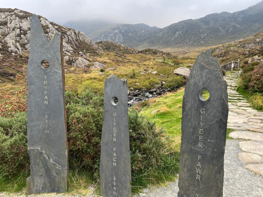
Tryfan, Glyder Fach and Glyder Fawr via The Miners Track | 7 Miles
Tryfan, Glyder Fach, and Glyder Fawr form a trio of striking peaks in Eryri, North Wales, renowned for their rugged beauty and challenging terrain. Tryfan (918m), often recognized for its dramatic, jagged profile, is one of the most distinctive peaks in the UK.
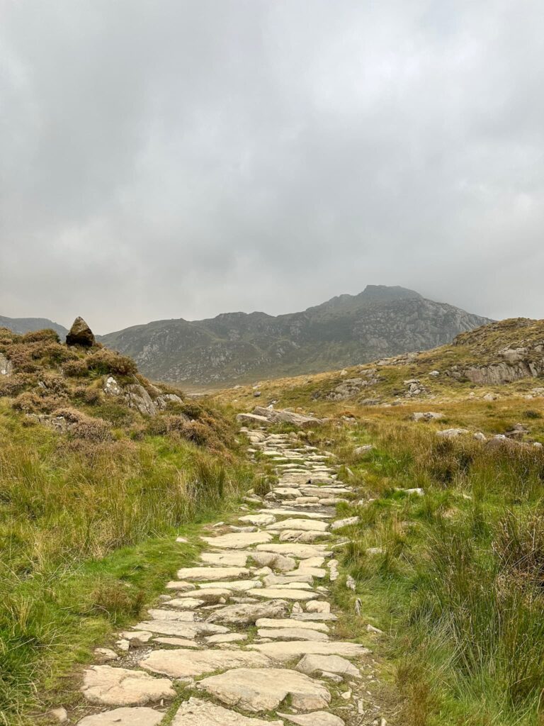
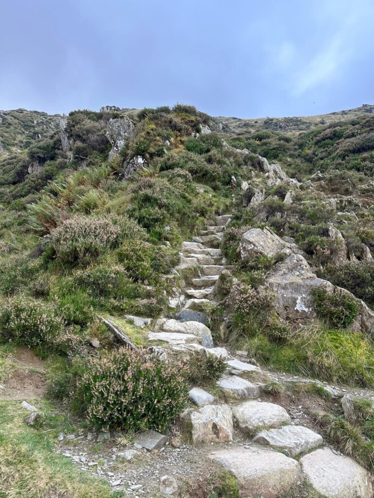
Here we set off to reach a stone wall, and picked up a faint path leading to Tryfan’s south peak at 831m above sea level. From the south peak we headed north and picked our way steadily through the boulders and rocks to the summit of Tryfan. There was one bit where it was very narrow, with a steep drop down one side but the thick clag helped as we couldn’t see the drop down!
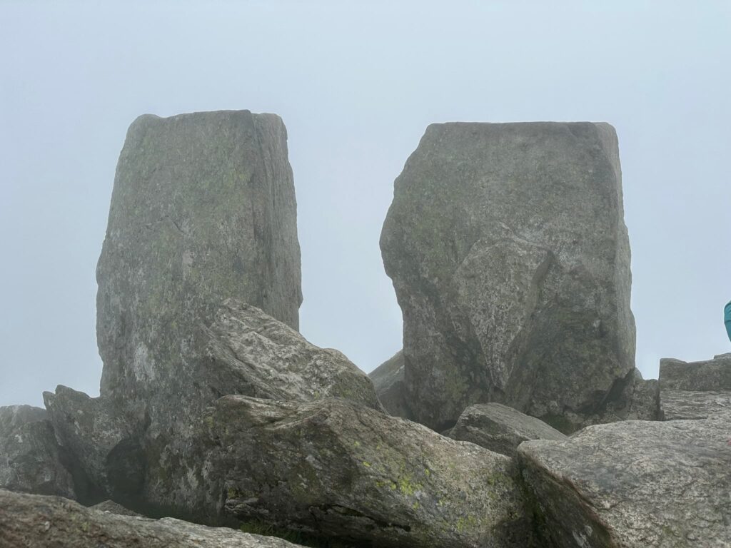
We reached the summit, marked by the twin obelisks known as Adam and Eve. The freedom of Tryfan is meant to be granted to anyone who makes the leap between the stones, but we weren’t going to risk becoming another Mountain Rescue statistic!

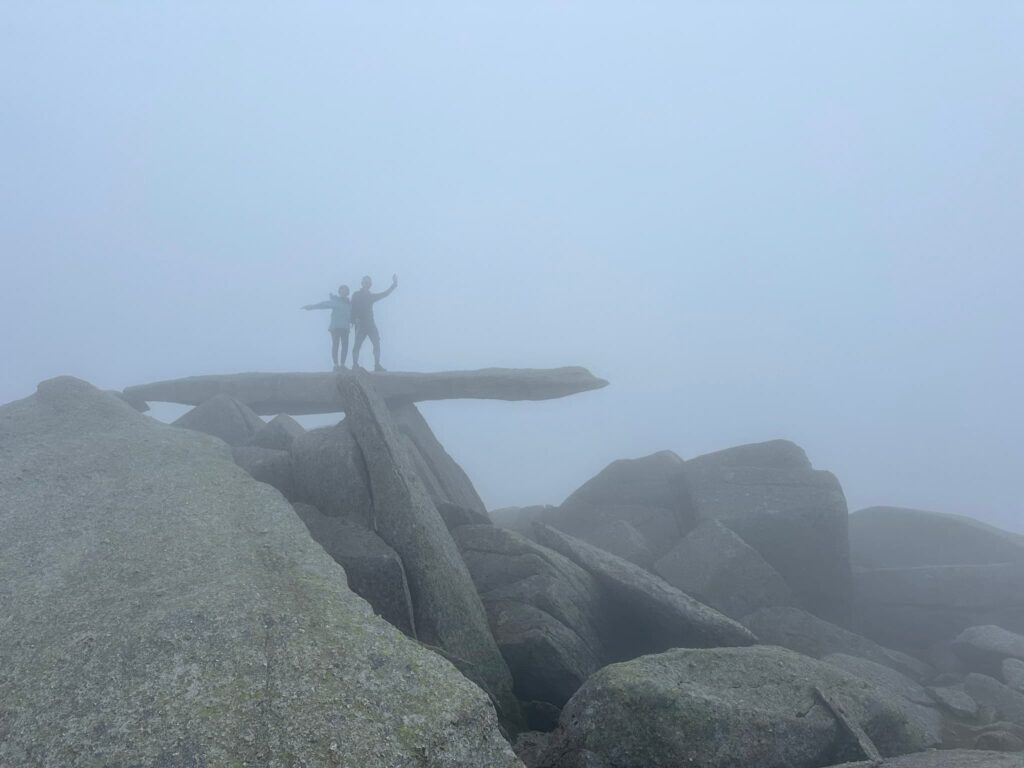
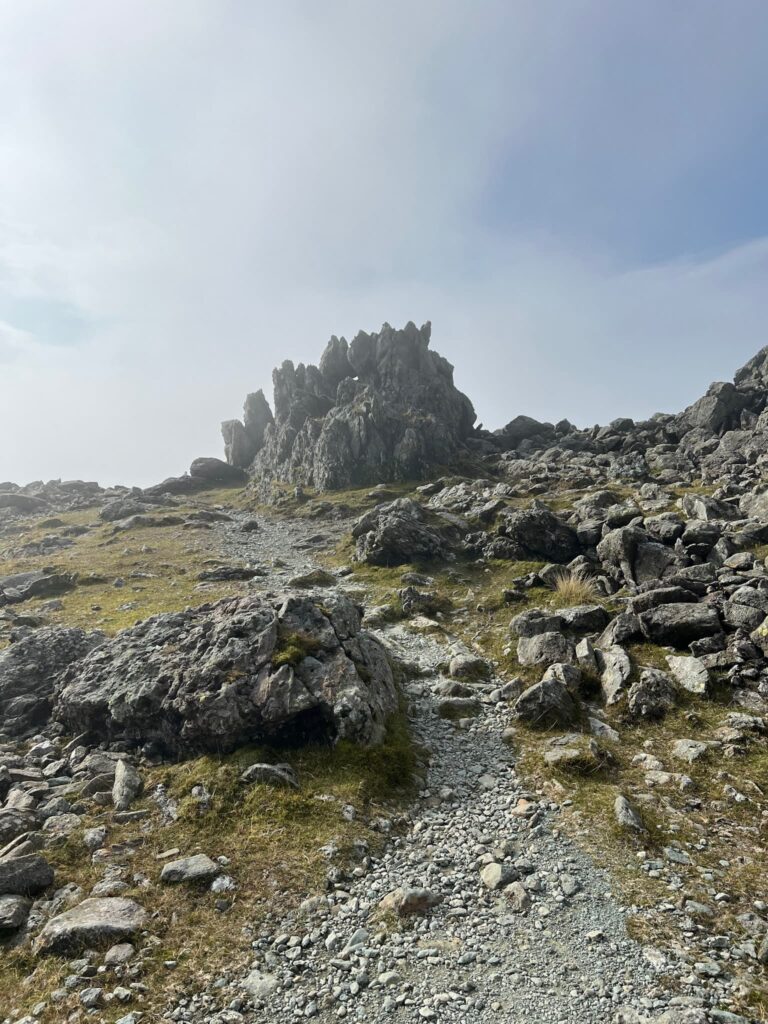
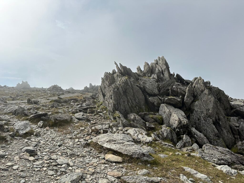
We retraced our steps back over the narrow section and then followed a faint path through the rocks back to Bwlch Tryfan. We climbed the stile over the wall and headed up to Glyder Fach. We dropped very lucky and chanced upon the Cantilever Stone in the mist before reaching the summit of Glyder Fach, reached by a scramble up a collection of rocks.
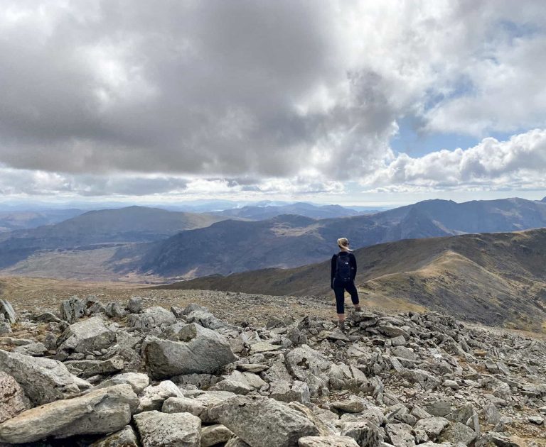
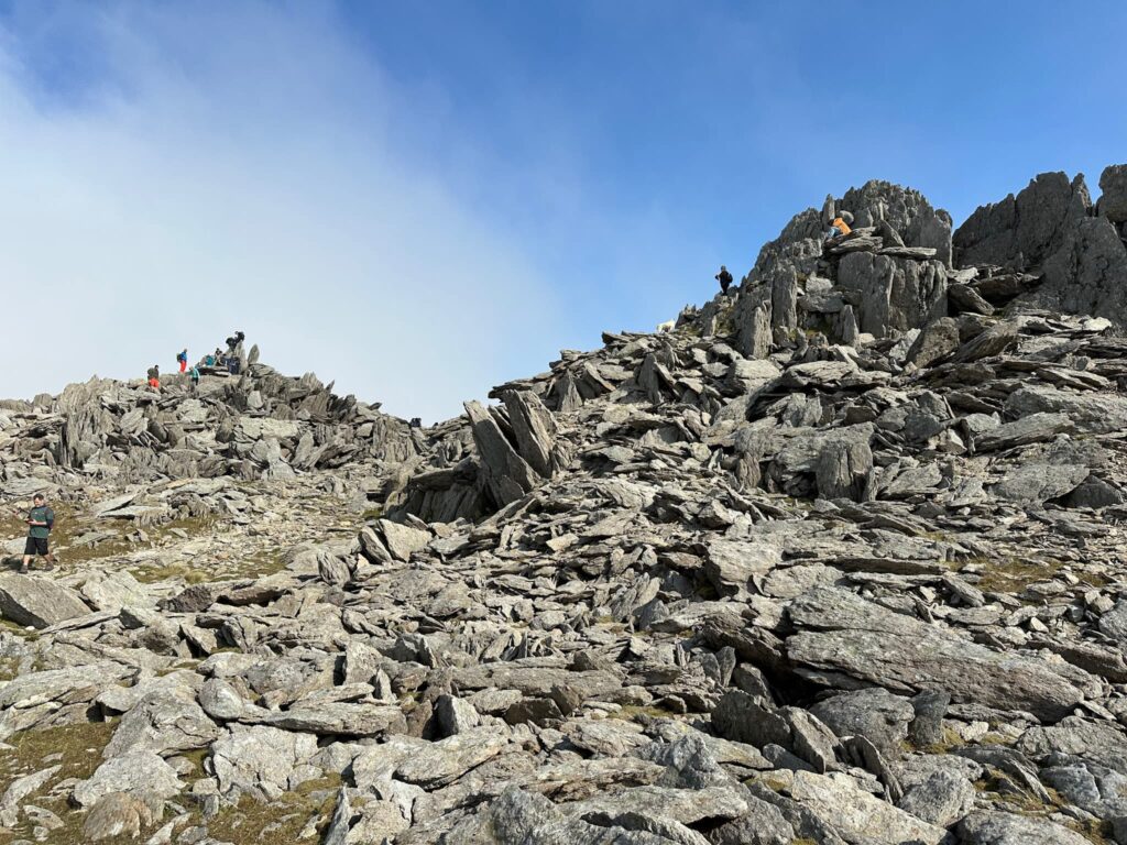
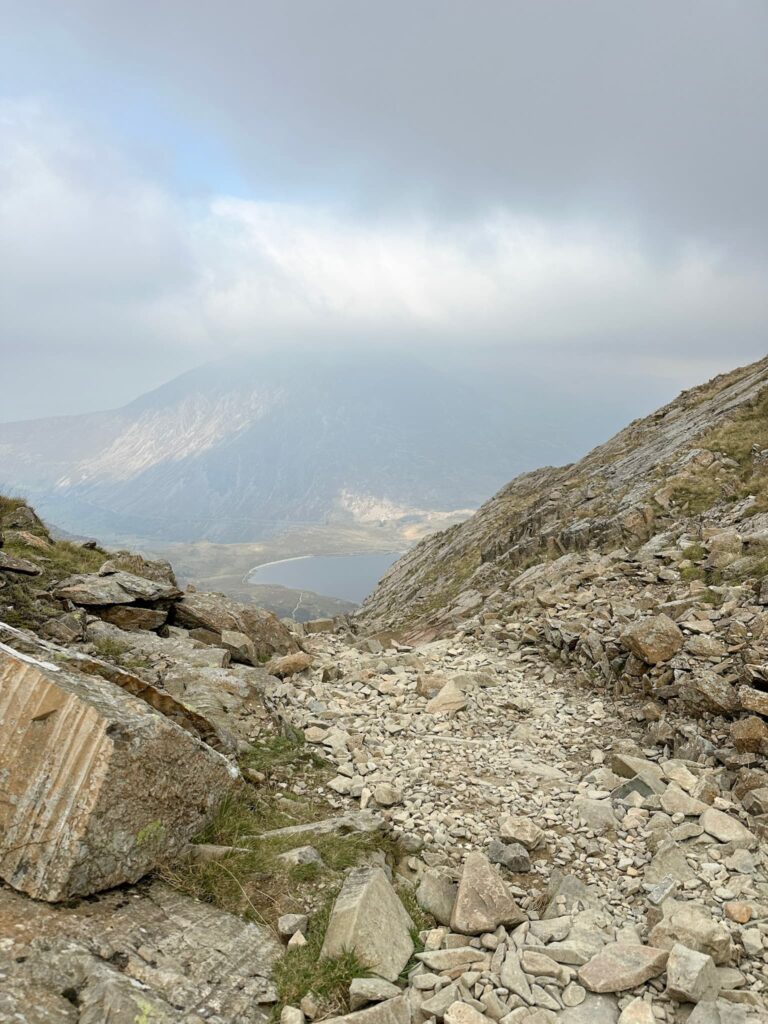
Passing Castell Y Gwynt we headed for Glyder Fawr, the highest of the three mountains, and the clag finally lifted and the sun came out, showing off the other-wordly landscape.

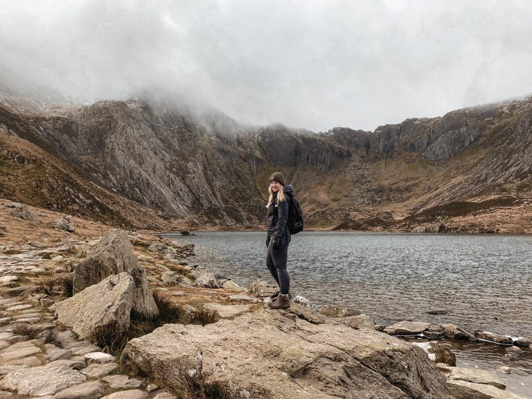
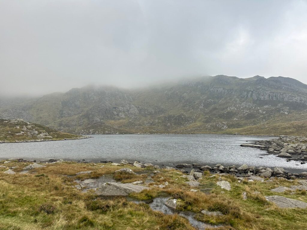
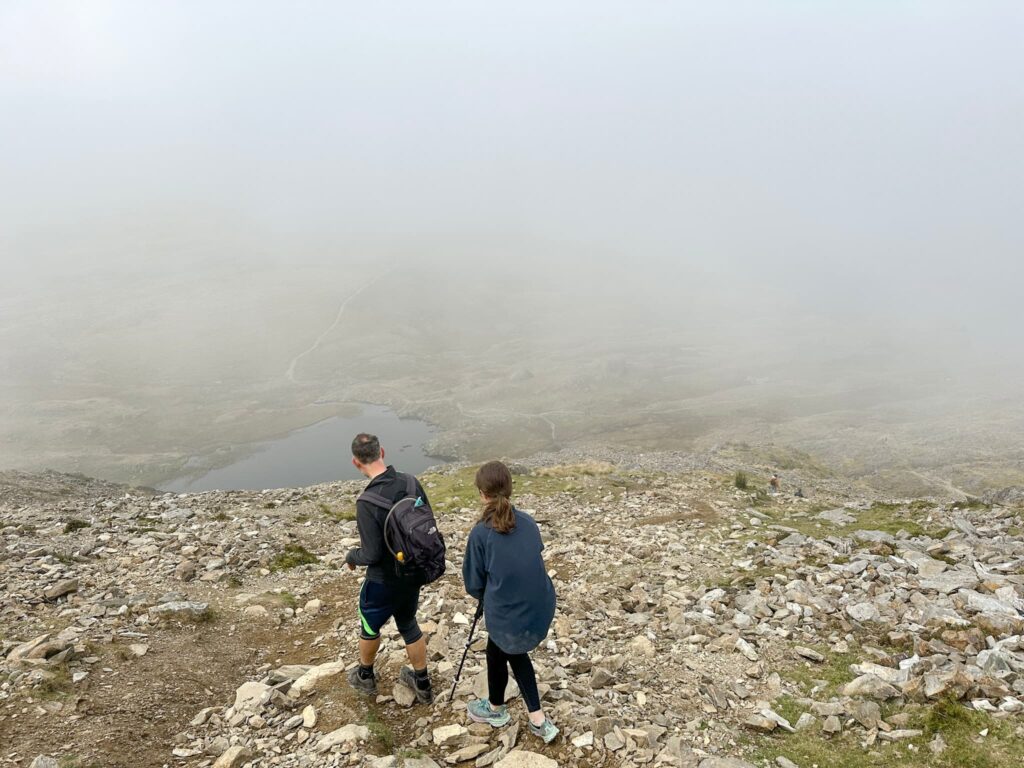
After climbing the summit of Glyder Fawr we started the descent back down to Llyn Y Cwn and then back down past the Devil’s Kitchen into the Cwm Idwal Nature Reserve, passing Llyn Idwal before heading back to the car.

Tryfan, Glyder Fach and Glyder Fawr Walk Details:

Walk Route in OS Maps: Tryfan, Glyder Fach and Glyder Fawr via The Miners Track from Ogwen Valley
Parking: Ogwen Cottage Car Park (aka Cwm Idwal Centre), Nant Ffrancon, Bethesda, Bangor LL57 3LZ. W3W:///agency.remix.worms This is a pay and display car park charging £6 for the day.
Facilities: There are public toilets and showers at Cwm Idwal Centre as well as Ogwen Snack Bar.
Walk Time: 7-8 hours – it’s an all day hike. We were hiking at Holly’s pace so it took us 8.5 hours.
Difficulty: ▲▲▲
Distance: 6.7 miles (10.8km)
Elevation: 3400ft (1036m)
For more epic walks in Eryri, you might like:
Y Garn Via The Devil’s Kitchen | 5 Miles