Snowdon Route via Rhyd Ddu Path | 10 Miles
This Snowdon via Rhyd Ddu path hike is the best Snowdon route, in my opinion! We took the Rhyd Ddu path up and the Snowdon Ranger path down and barely saw a soul until we got to the top. After looking for ages for the quietest route up Snowdon, this was the path we settled on and I’m so glad we did!
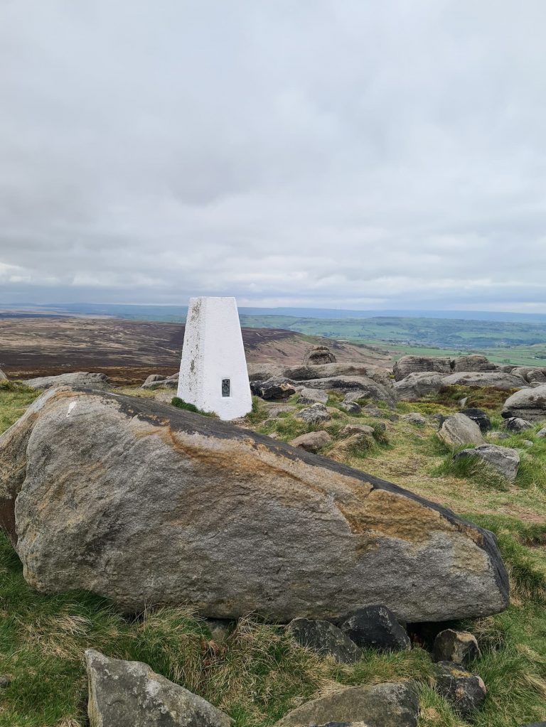
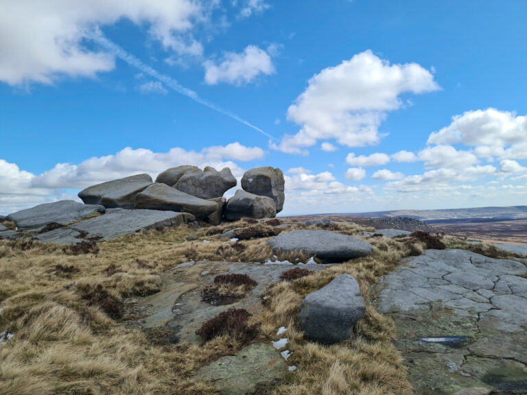
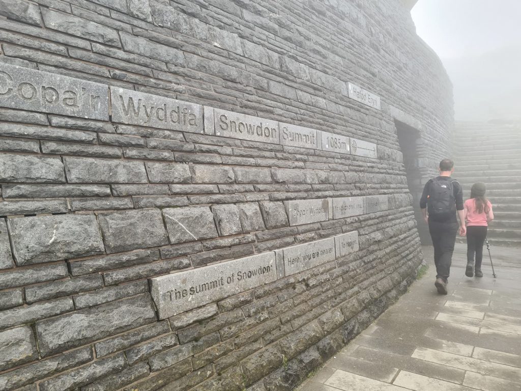
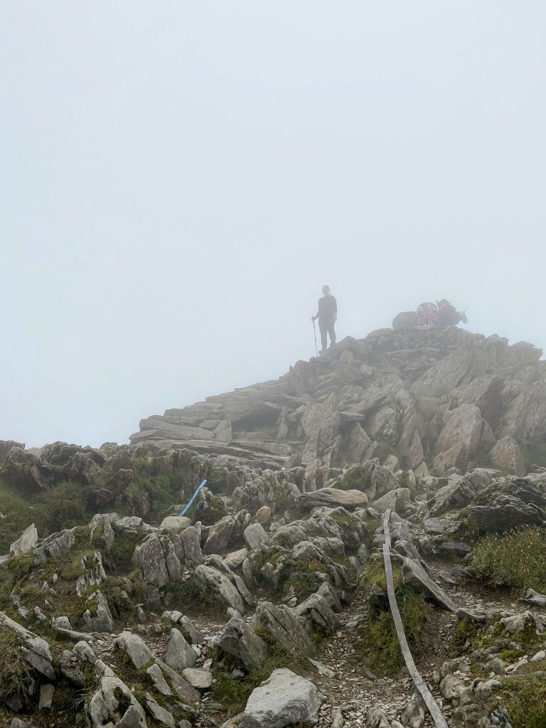
This Snowdon route bags the highest peak in Snowdonia as well as the second highest peak, Garnedd Ugain, sometimes referred to as Crib-y-Ddysgl. Snowdon is 1085m and Garnedd Ugain is 1065m, and both have trig points (although the one at Garnedd Ugain has definitely seen better days).
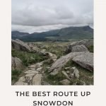
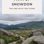
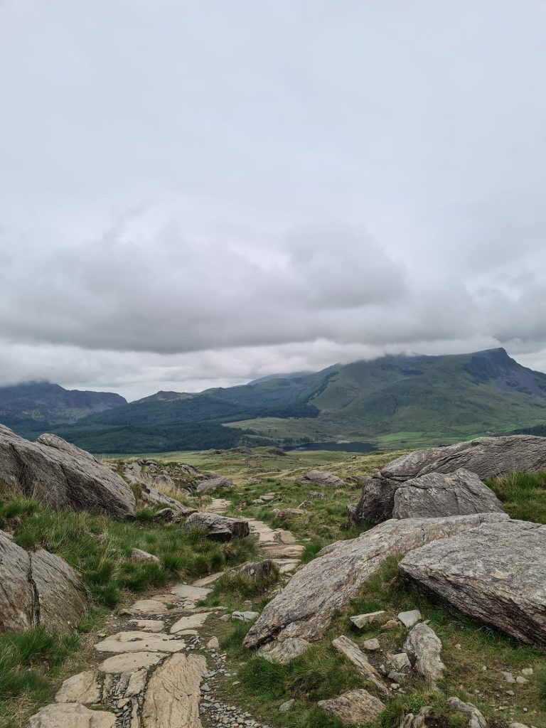
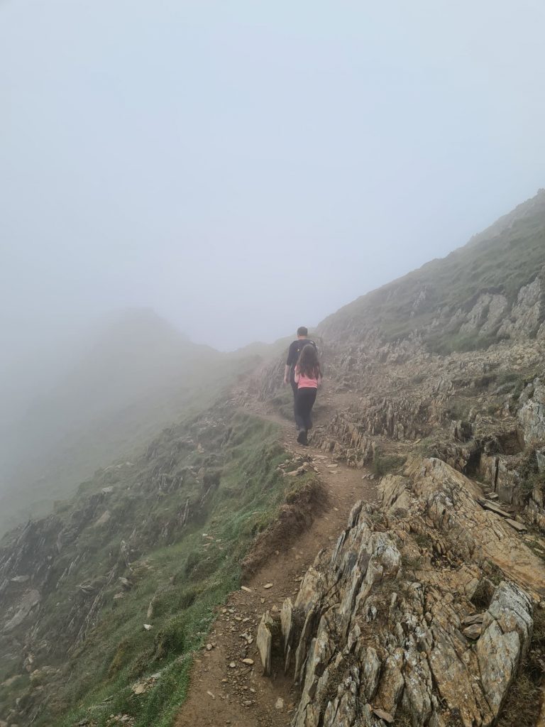
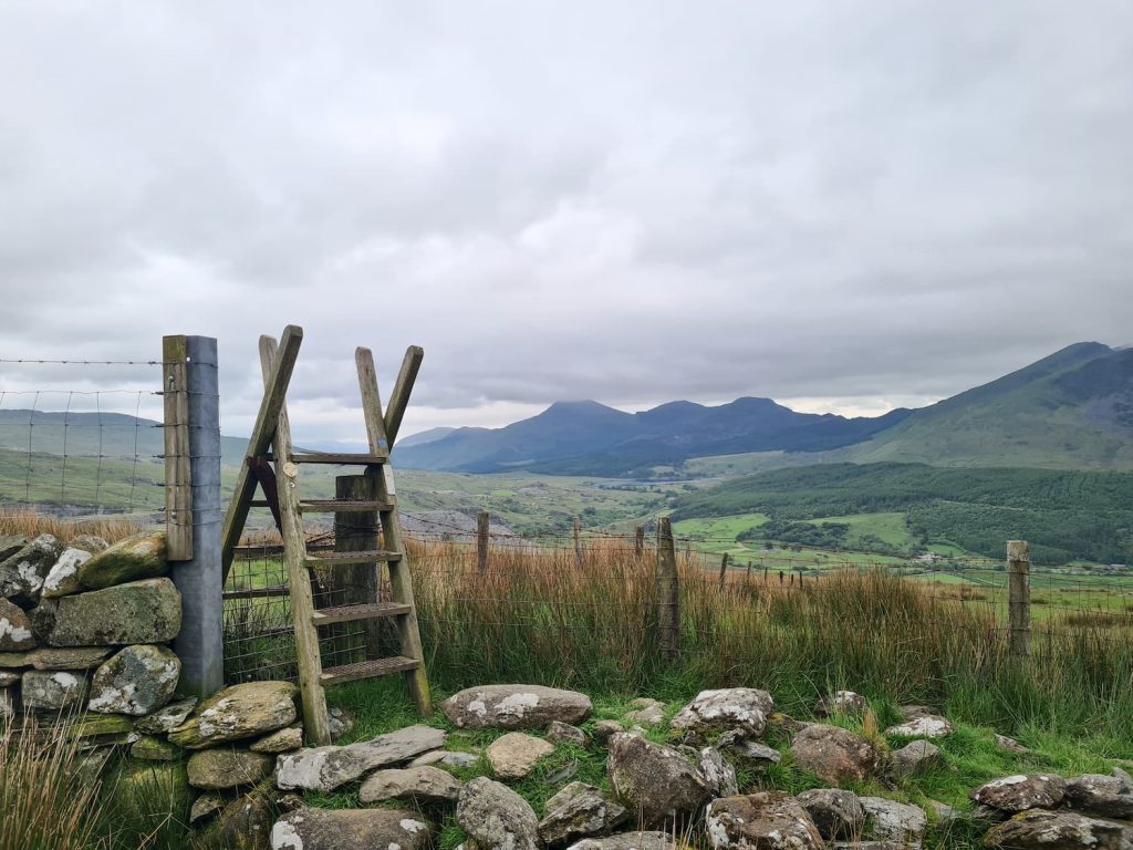
The Rhyd Ddu path is also one of the most scenic ways up Snowdon, with amazing views to the south and west over to Y Garn and the beautiful Snowdonia landscape.
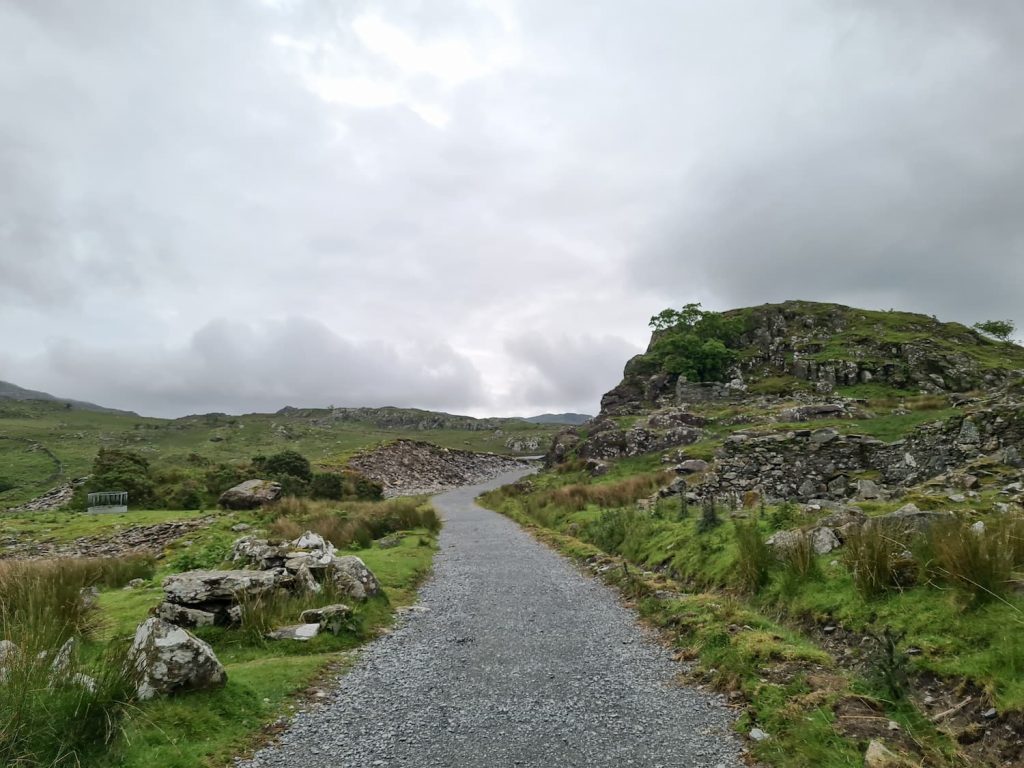
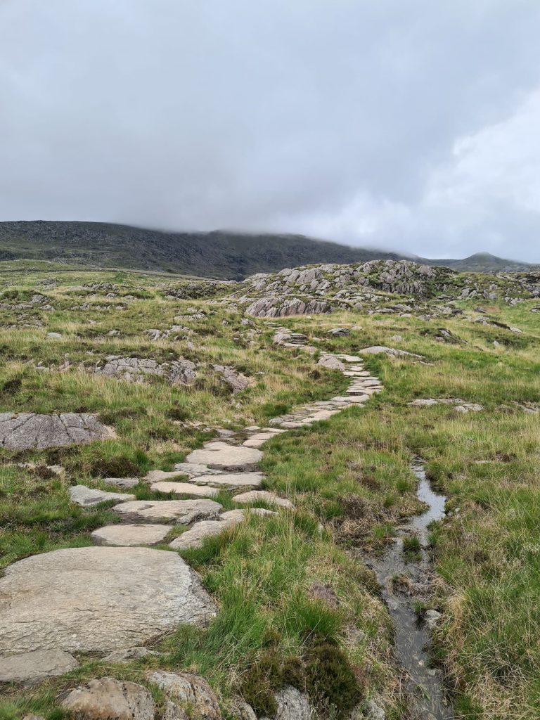
We parked at the Rhyd Ddu car park and set off along the trail. For the most part it’s really easy to follow, being either paved, or steps, or rocky underfoot but in good weather the path is quite obvious. The path climbs gently for the first mile over the old track that served the Bwlch Cwm Llan slate quarry, but soon becomes steeper as you reach Llechog, with the last third being quite scrambly over Bwlch Main. It’s definitely not as scary as Crib Goch but you will need a good head for heights on a clear day as it’s quite narrow in places.
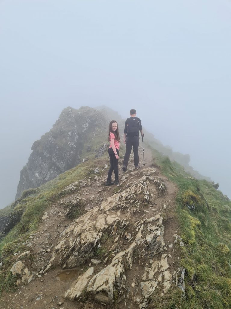
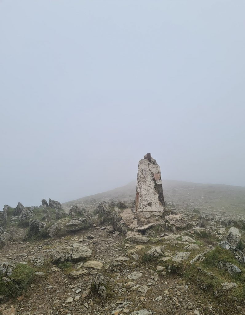
It opens back out as you reach the summit and it will start to get busier as the other routes up start to meet the Rhyd Ddu path. You’ll soon pass the cafe and train stop (I didn’t even believe this was real until I saw it – a cafe on top of a mountain just seems bizarre!) and you’ll spot the plinth with the trig point on (and no doubt the queue of people wanting to touch it).
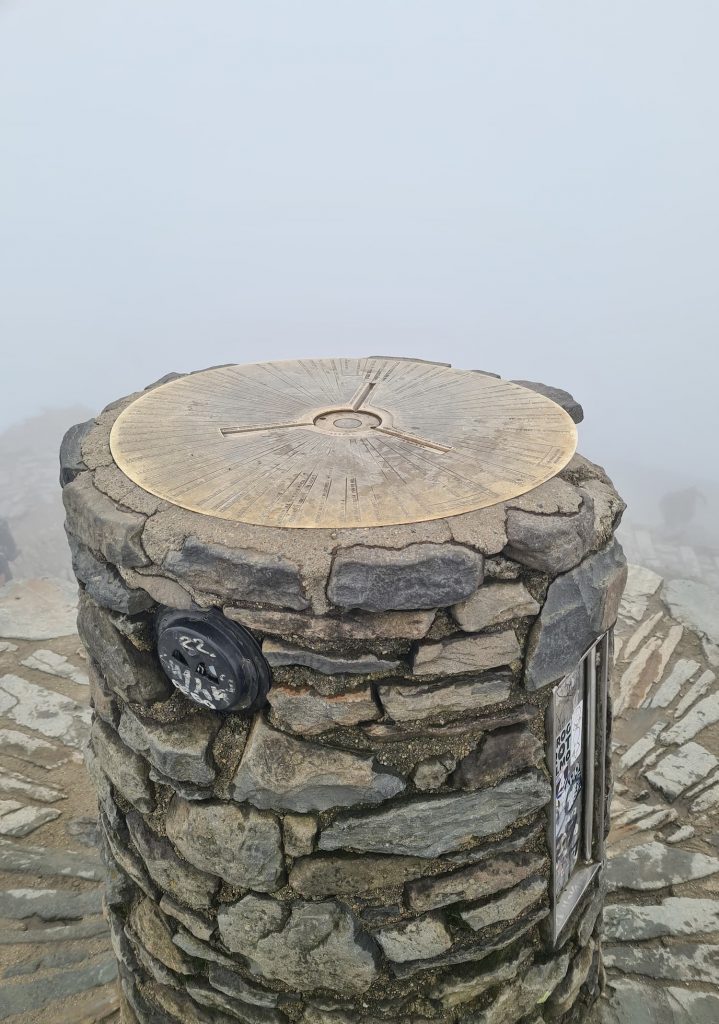
Other people have amazing photos of the views from the Snowdon summit. We just get mist. Always mist!
From the Snowdon summit trig point we headed along the Llanberis path for a short distance before heading north-east to Garnedd Ugain and its super tatty trig point.
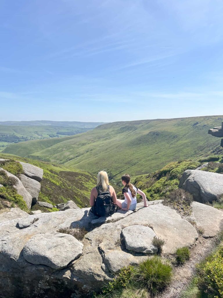
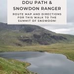
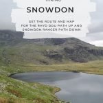
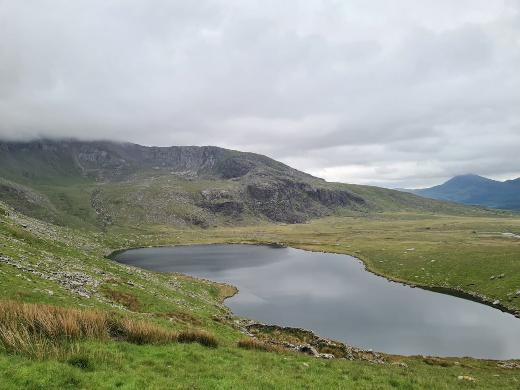
We retraced our steps back along the path to meet the junction of the Llanberis path, then followed this for a short distance to the junction the Llanberis Path and the Snowdon Ranger Path. We took the Ranger path down to the valley bottom, and as soon as we dropped out of the cloud we had the amazing views again of the Cwm Clogwyn and the Llyn Fynnon-y-gwas.
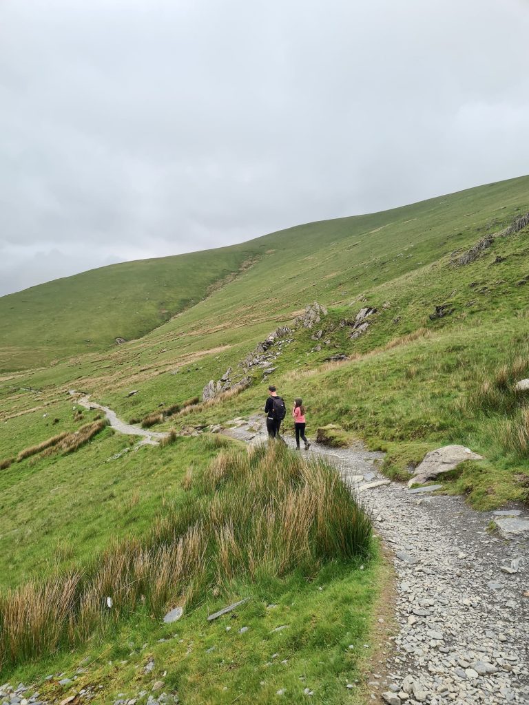
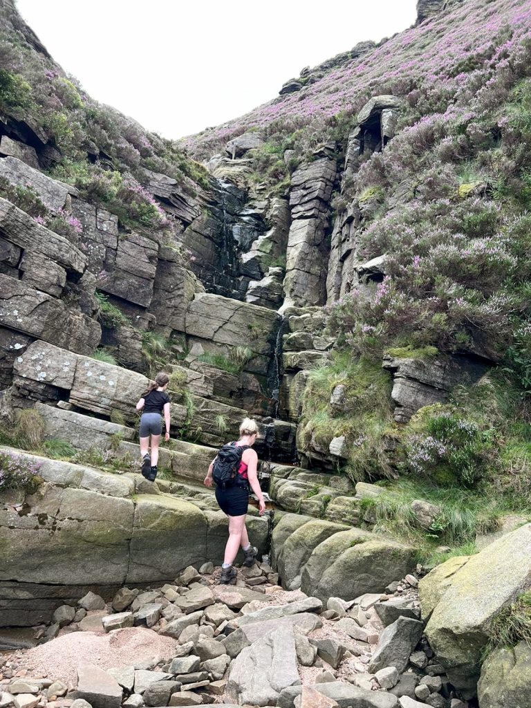
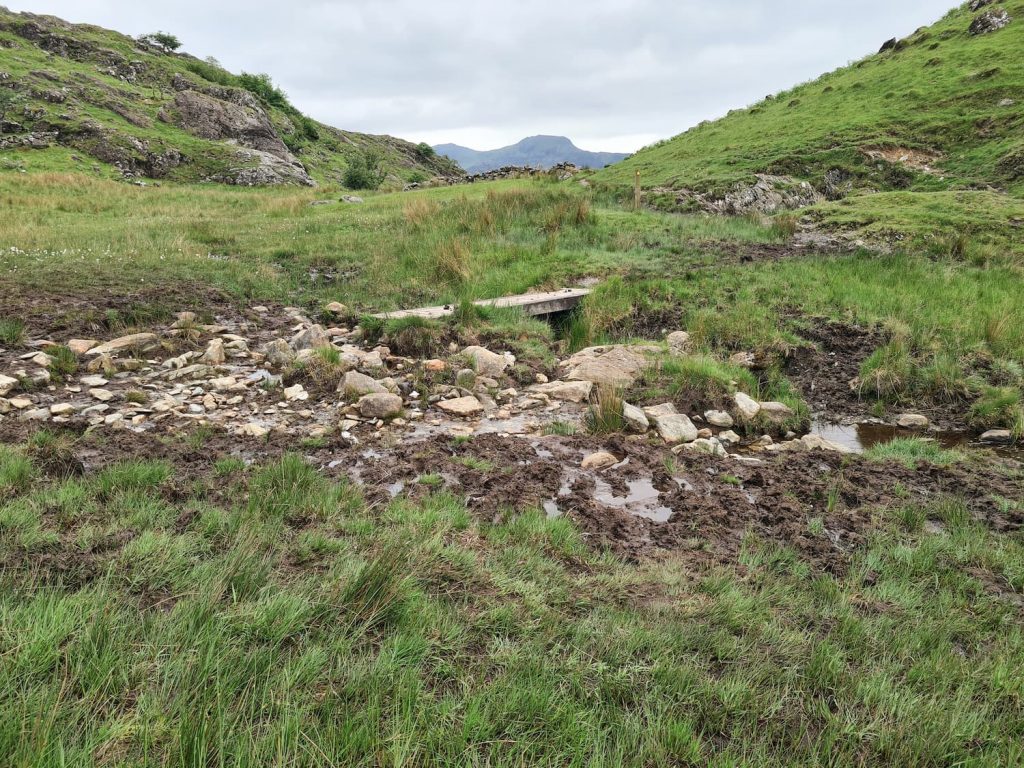
We followed the Ranger path and then headed off across the fields and moorland – in hindsight we should have stuck to the road because this way was so wet and boggy! It took us ages to pick our way through the bogs and mud. We did get to walk through the remains of the Ffridd-glyn Slate Quarry and found a beautiful waterfall at Afon Treweunydd, but still. Only try this way if it’s been dry for a prolonged period, or you don’t mind getting potentially muddy and wet.
![]()
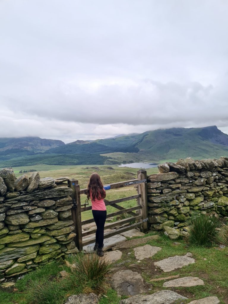
This was Holly’s highest mountain to date, and her first National Peak. We’ve got our sights set on the other two now so she (and we) can bag them all. We’re still a long way from the National 3 Peaks Challenge – she’s only 10!
Despite the mist at the summit, the views from this side of Snowdon are amazing and there’s the added bonus of this being the much quieter way up to the summit. We probably saw two other groups of walkers until the junction of the Rhyd Ddu path and the Watkin path, and once we got off the main tourist path on the way down we saw two other people again!
The Best Snowdon Route:
Snowdon Walk Map:

Walk Map (Opens in OS Maps): Snowdon via Rhyd Ddu Path
Parking: Rhyd Ddu Car Park (shared with Rhyd Ddu Train Station) LL54 6TH . We paid £6 for the day by card.
Facilities: Public toilets in the car park
Walk Time: 6-7 hours depending on speed and fitness
Difficulty: ▲▲▲
Distance: 9.6 miles (15.5 km)
Weather for Snowdon/Yr Wyddfa
Check Mountain Forecast weather for Snowdon before you go. We had a dry day but there was prolonged cloud and mist hanging about on the summit so we had rubbish views. We always try and choose a dry day with light winds to climb a mountain but we never seem to get the views!
How Long to Climb Snowdon?
It depends on your speed and fitness but a person with average fitness and stamina should aim for 6 hours up and down. Obviously this depends on your own fitness levels and whether you take prolonged rest breaks on the top, whether you take photos on the way up or whether you have a small child with you wanting lots of snack breaks.
What is the Welsh for Snowdon?
The Welsh name for Snowdon is Yr Wyddfa, pronounced as Er Withva. The summit of Snowdon is Copa’r Wyddfa, pronounced as Copa Withva.
You might also like to try some of the other walks in the Snowdonia area, such as Y Garn Via The Devil’s Kitchen, Cadair Idris, Tryfan, Glyder Fach and Glyder Fawr via The Miners Track | 7 Miles or Pen yr Ole Wen to Carnedd Llewelyn.