Alport Castles and Westend Moor Trig Point | 12 Miles


This weekend we went on a Fairholmes to Alport Castles walk, passing the Westend Moor trig point on our circular walk. This 12 mile walk covers some challenging Peak District moorland but the views are amazing, and Alport Castles is a must visit in the Peak District.
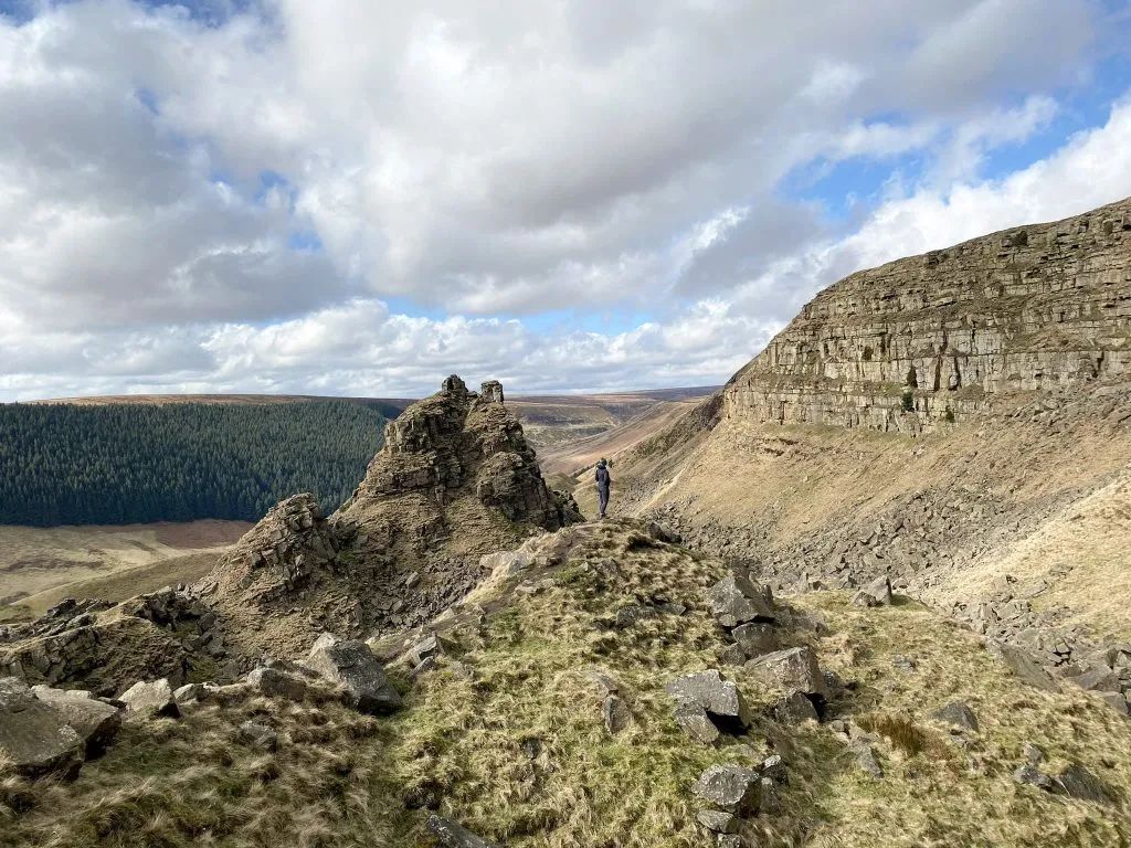
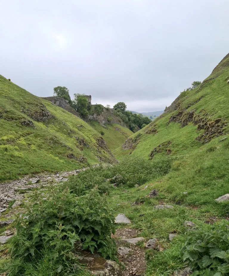
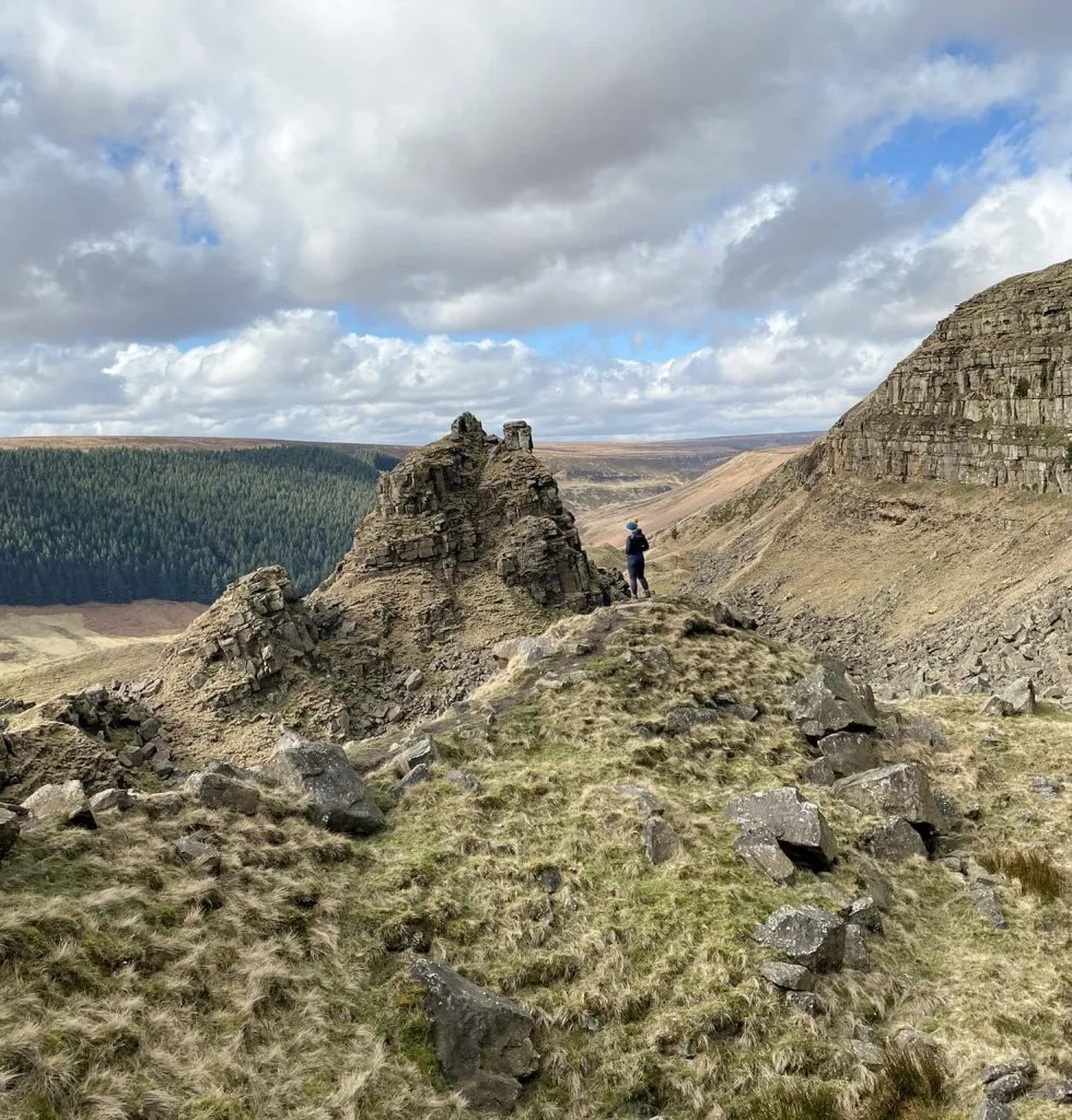
Alport Castles is the site of the biggest landslide in the UK, being over half a mile long. There is an huge chunk of land which has fallen from the main hillside and now has a really rocky outcrop, looking like a ruined castle from a distance, hence its name The Tower. It is huge! The sides of the valley are really steep and the place has an other worldly feel to it. It’s a great place to explore.
We were also meant to tick off the Alport Moor Ethel as well, but someone* didn’t plan the route properly and we only noticed the trig point wasn’t the summit when we were on our way back!
*Joel
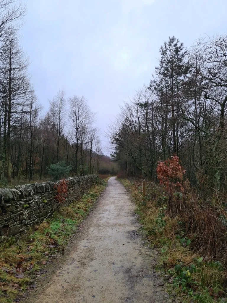
Our Alport Castles circular walk starts from Fairholmes Car Park in Bamford, which has a cafe and loos on site. We set off out of the car park, crossed the road and walked up through the woods towards Lockerbrook. Passing through the woods, we followed the path down the lane towards Rowlee Pasture.


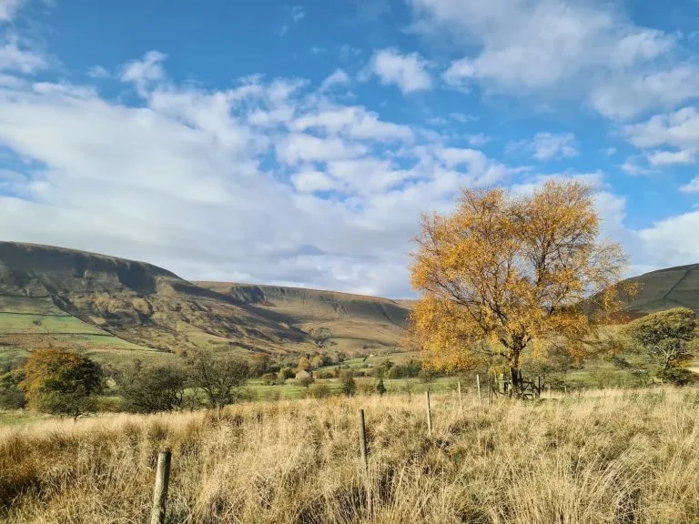
It’s a steady climb from Rowlee Pasture towards Alport Castles, where we had a quick snack stop and mini explore, before we set off towards the trig point at Westend Moor. The path to Alport Castles follows a broken down wall, and it’s a nice steady walk.

This was a very wet, boggy walk over open, featureless moorland. We probably walked twice as far as we needed to because of all the bog jumping we had to do!


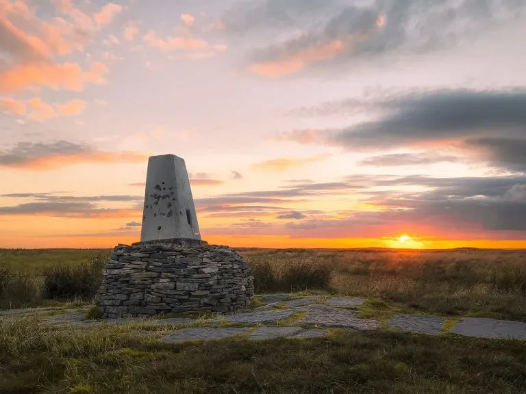
Luckily the trig point is bright white and shines like a beacon, and we had really good weather. It would be a very difficult place to navigate to in poor conditions. We use the OS Maps app but also have a paper map and compass with us as a back up.


The trig point is surrounded by it’s own little moat, tying in nicely with the castles theme of this walk!

We took the usual trig point photos, and then headed back towards Alport Castles along the edge. It was after about a mile when we realised we hadn’t actually made it to the Alport Moor Ethel, which is another 1.5km past the trig point. What a rookie mistake! It didn’t seem fair to drag Hols back to the trig again, as the going was really tough over the bogs and she’s only 9! It’s gone on the list for another day (I’m thinking we can go via Snake Woodlands when Snake Pass reopens). It just goes to show you should always double check your route to make sure everywhere you want to go is on there!
We went back down into Alport Castles and had a wander through the valley, between The Tower and Little Moor. There is a faint path which takes you to a fence where some kind person has made some stepping stones to help you over the fence. This puts you on a public footpath which leads down past Alport Castles Farm.


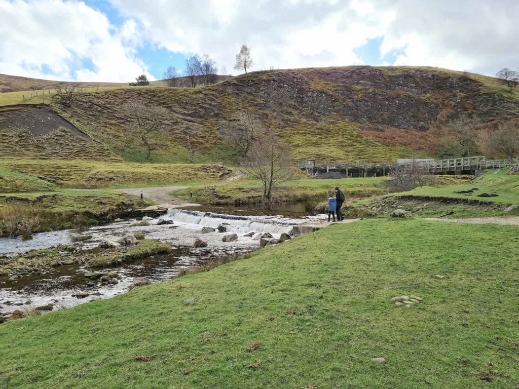
We came to the ford over the Alport River and almost didn’t notice the bridge! Passing through the fields and through the farmyard at Alport Farm we followed the track for about 1.5 miles then turned down the hillside at the signpost for Snake Pass and Alport Bridge. We even saw our first lambs of the year!


The footpath took us out onto the A57 Snake Pass, which is currently closed due to landslides, and we crossed and went across the ford – again, we almost didn’t see the bridge here and the ford was quite deep!

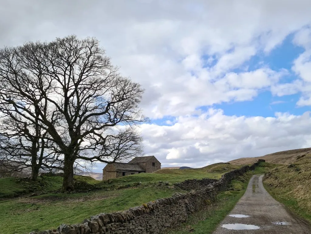
The track continues for about half a mile along the bottom of Blackley Hey, and then crosses Rowlee Bridge. We crossed the A57 again and followed the farm track up towards Rowlee Farm. There is a steep climb up to Pasture Tor and the road continues along past Bellhagg Barn before turning to the north and heading back towards Lockerbrook Outdoor Centre.


We headed back through the wood and retraced our path back down through the woods to Fairholmes again.
We jumped in the car and drove to The Ladybower Inn for a very late lunch – I had the chicken pie and a white wine, happy days!
Alport Castles Circular Walk Route Map:

Alport Castles Circular Walk:
Walk Map (Opens in OS Maps): Alport Castles Circular Walk
Parking: Fairholmes Visitor Centre, Fairholmes, Bamford, Hope Valley S33 0AQ (W3W//: sandpaper.unhappily.palace) which is a pay and display car park costing £6 for the day. There are free lay-bys before you reach Fairholmes on the roadside but these fill up quickly.
Facilities: The visitors centre has toilets and a cafe
Walk Time: 5-6 hours including stop offs – someone not constantly stopping for snacks will finish this a lot sooner!
Difficulty: ▲▲▲
Distance: 12 miles (22km)
Trig Points Bagged: Westend Moor
Peak District Peaks Bagged: None
Peak District Ethels Bagged: None unfortunately!