Blackden Brook Scramble to Edale Moor Trig Point | 8 Miles
This walk starts with a brilliant scramble up Blackden Brook, packed with waterfalls, and heads over to the Aztec Rock, Edale Moor trig point and Madwoman’s Stones. This is a challenging 7.6 mile Peak District walk, with sections of off-path exploring in the heart of the Kinder plateau.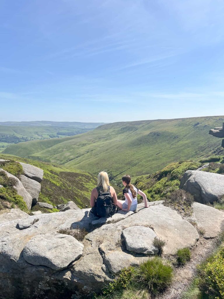
Blackden Brook is on the peaceful northern edge of Kinder Scout and is one of the best routes to climb up to the highest point in the Peak District. I’d wanted to visit the Aztec Rock for a while – it’s a mysterious rock hidden away amongst the peat groughs and hags on the wild plateau top, far from the path and away from the crowds. We added on Edale Moor trig point and Madwoman’s Stones to make this a lovely circular walk exploring the wilderness of Kinder Scout.
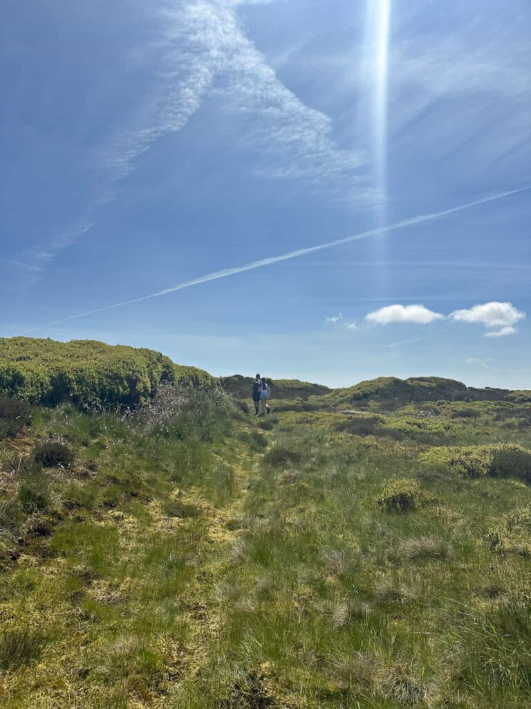
This walk heads off into the centre of the plateau and should only be attempted if you are confident navigating and don’t mind wandering around in peat groughs, feeling disorientated and possibly getting wet, boggy feet. The centre of Kinder Scout is very disorientating and it’s easy to get lost.
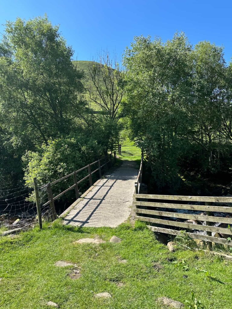
We parked in the lay-by on Snake Road and headed down the hill to cross the River Ashop. It’s a steady climb up a small hillside and through a gate onto the Open Access Land. We followed the stone wall, turning right to join a path leading up Blackden Brook. There are numerous waterfalls within the brook, most of which are accessible if you clamber down the steep banking. The first large one is an Instagram ‘wild swimming’ hotspot so on a sunny day it’ll be packed with people.
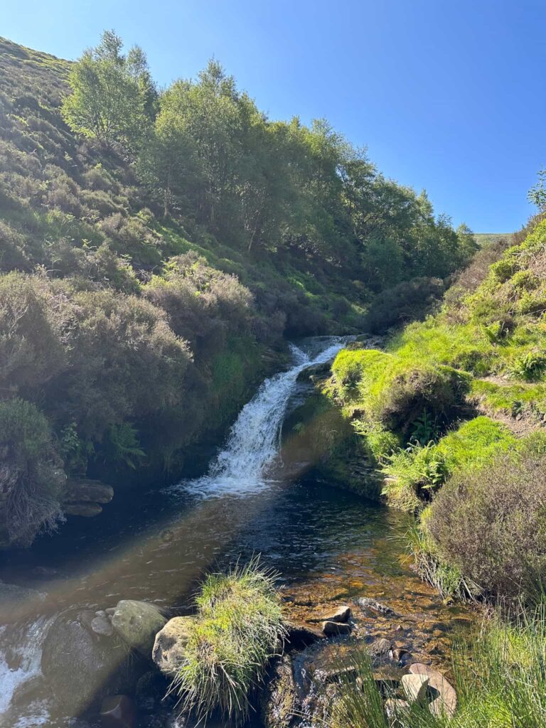
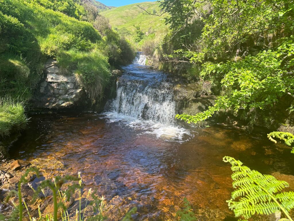
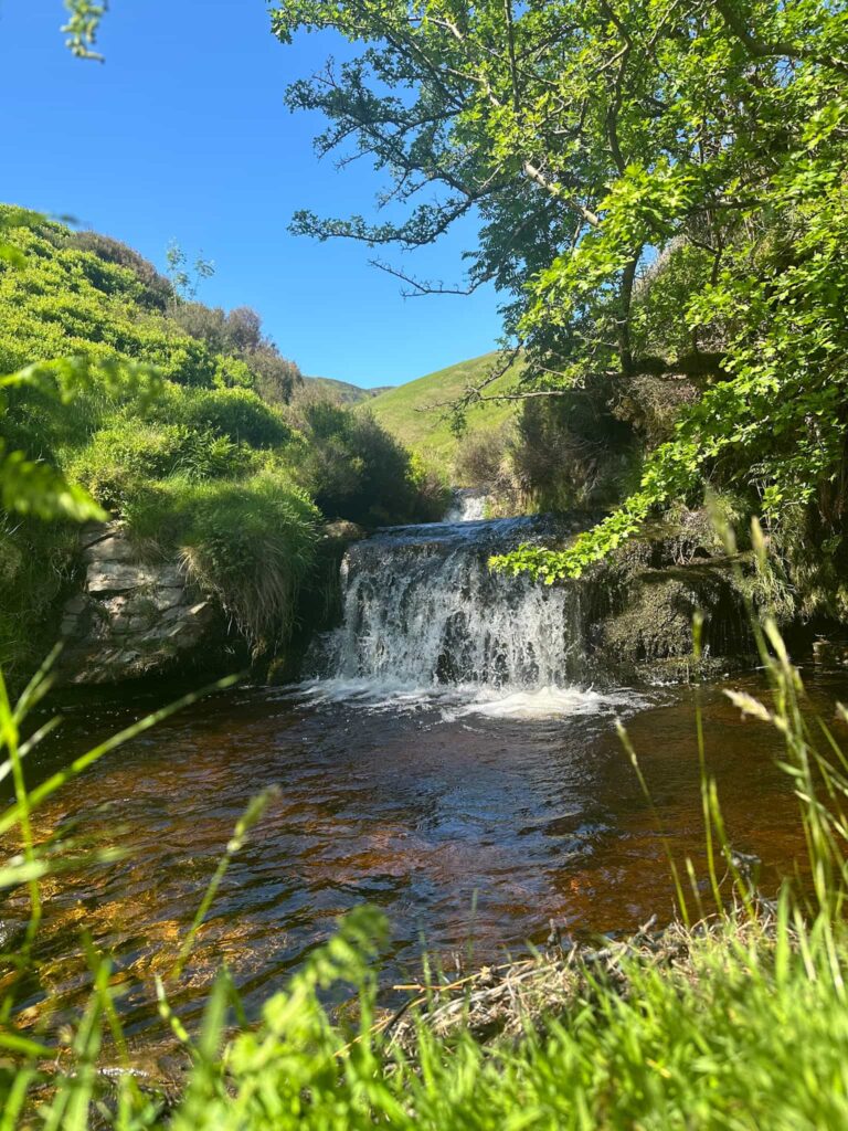
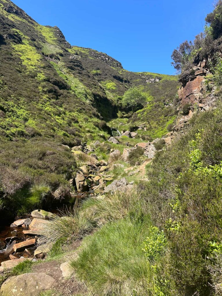
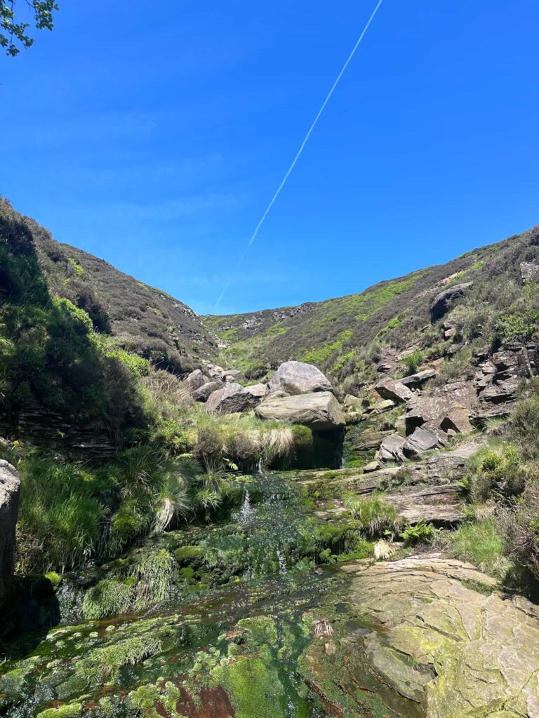
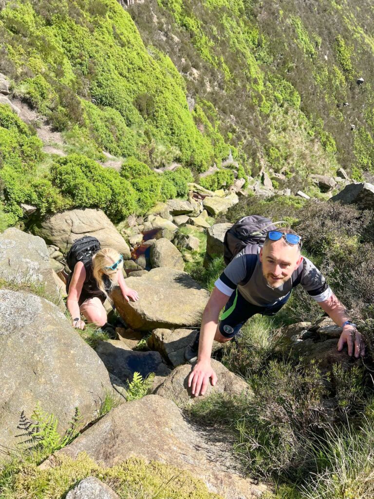 Once at the top of Blackden Brook we had a snack break before following the edge path to the right, heading north then west, to the Seal Stones. A short distance after the Seal Stones we set off south to find the Aztec Rock, which is about 500m from the edge path but involves winding through peat groughs and in between the hags to find.
Aztec Rock grid reference: SK 1080 8834
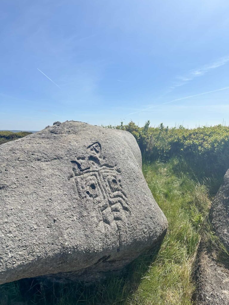
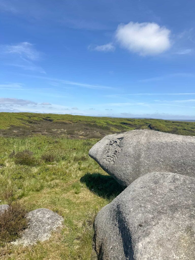 This strange carved rock has a funny Aztec-style symbol carved into it. I’m not sure why or when this will have happened but we always like to find unusual things on Kinder Scout!
From the Aztec Rock we headed back to the path, spooking a mountain hare on our way. We followed a slightly different route back to the path, picking up a slightly different path to head back towards the top of Blackden Brook.
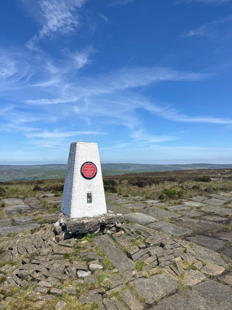
We set off south-east to the Edale Moor trig point – this was the first time I’d seen it from the edge path as usually the weather is rubbish when we visit! The path to the trig isn’t marked on the OS map but is well trodden, being quite boggy in places even on a dry day.
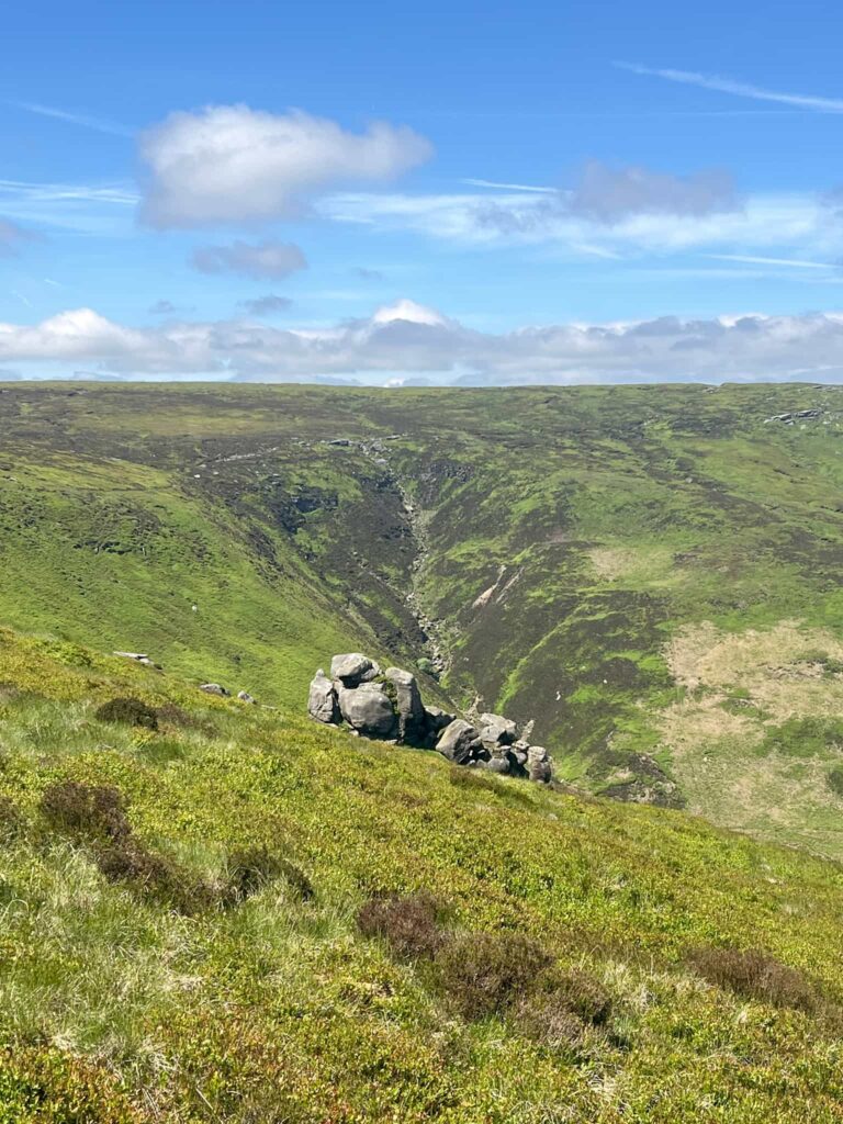
 After visiting the trig point we headed north-east along another pretty well defined path that doesn’t appear on the OS map to Madwoman’s Stones. If anyone knows the origin of the name I’d love to know! We had another snack break here, then carried on to pick up a path running north, turning just after a big mushroom shaped group of rocks.
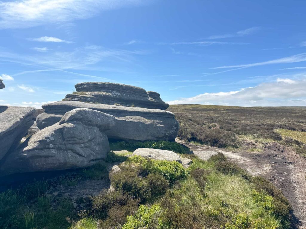
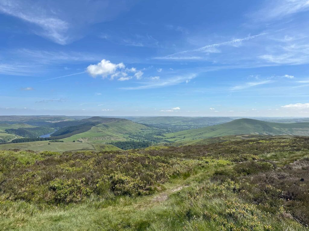
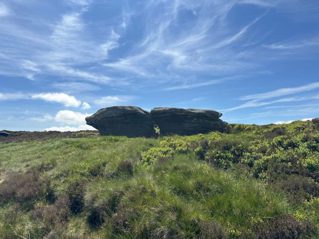 From here we set off towards Crookstone Knoll and admired the views over to Ladybower, Win Hill and Lose Hill before dropping down the hillside and heading toward the gamekeepers track. We followed the track a short distance and then followed the line of grouse butts down the hillside to pick up the track again next to the Jubilee hut shooting cabin – it’s locked.
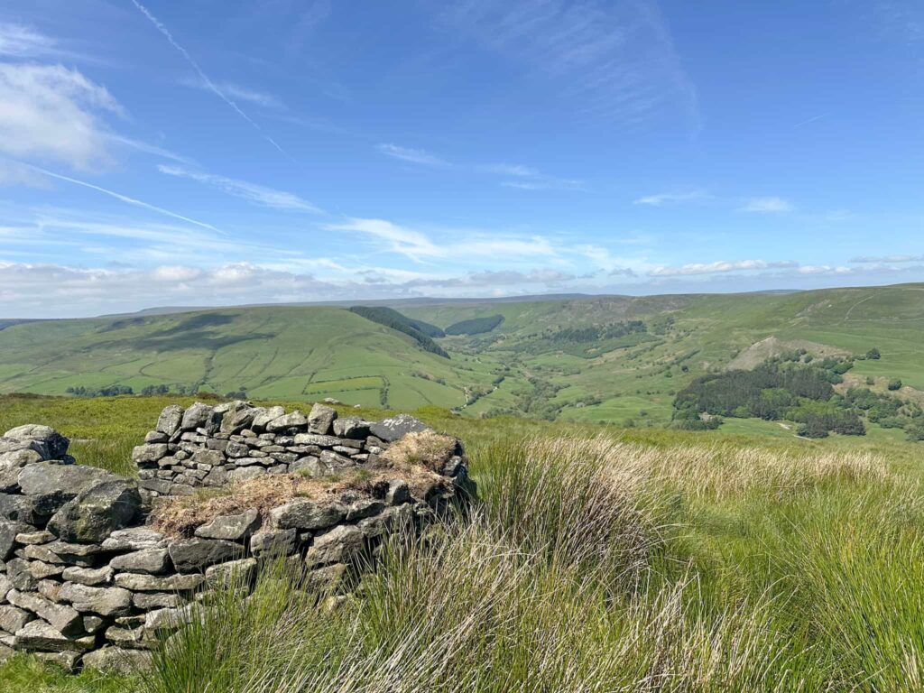
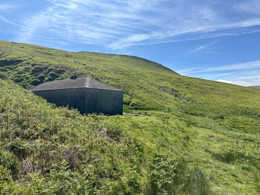
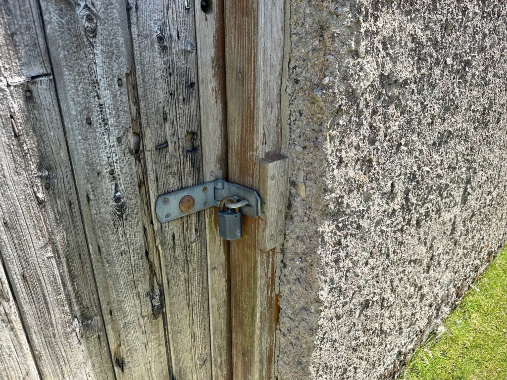
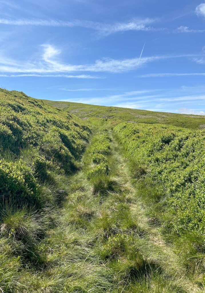 After we’d passed the cabin we followed the track down the hill and turned left at the fork in the track. The track quickly runs out and becomes Open Access Land.
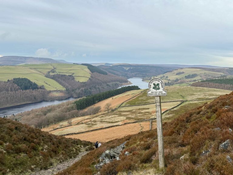
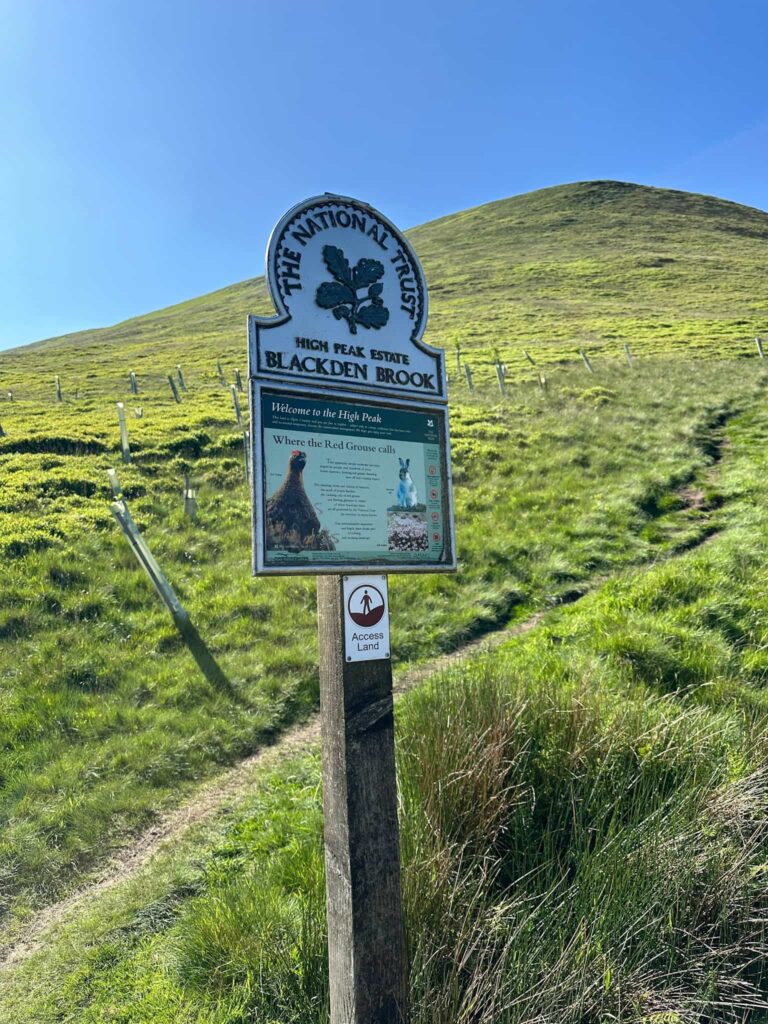
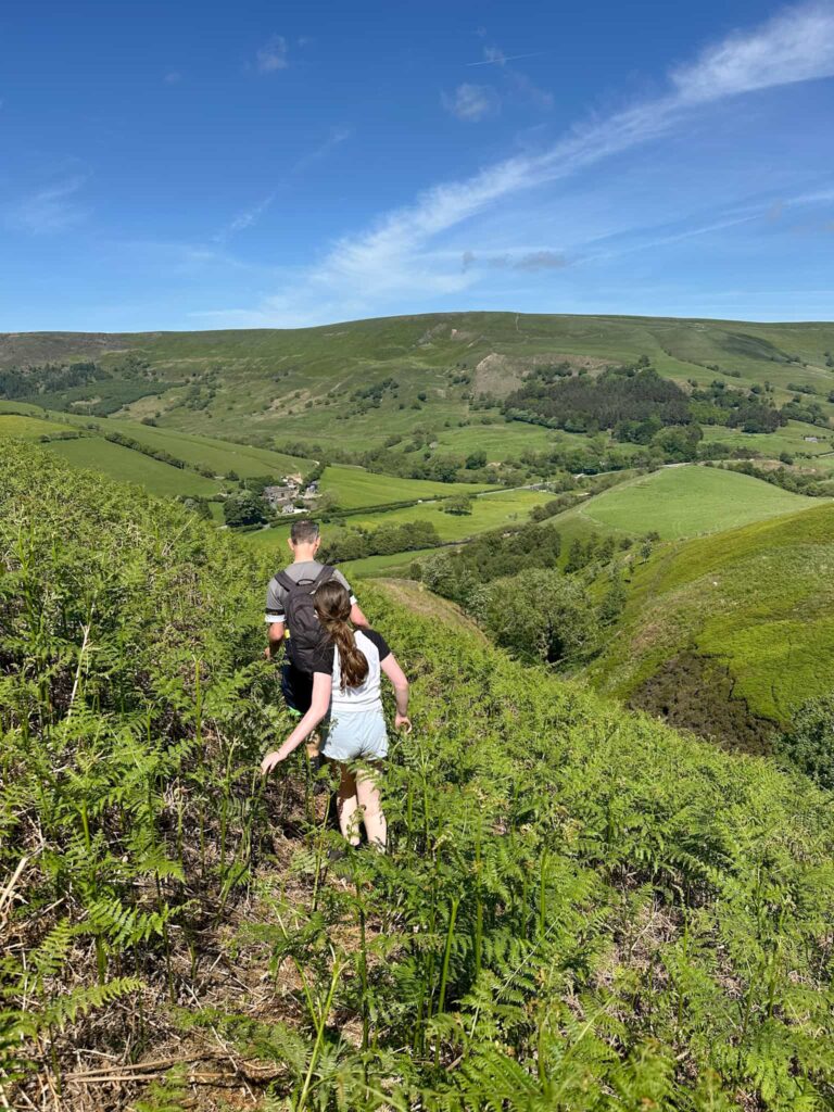 We headed west across the hillside to the stream, crossed the stream in the bottom and then picked up a very faint path on the other side leading down to the dry stone wall which marks the boundary of the Open Access Land and the farmland beyond. There is a faint path running along here which we followed back to the gate and the National Trust omega sign for Blackden Brook, and we recrossed the bridge over the River Ashop and climbed back up the hill to the car parking layby.
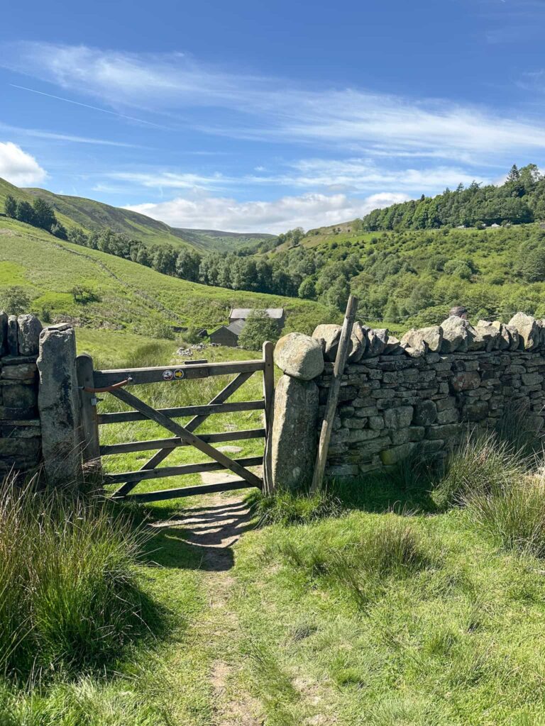 This is a great walk if you like to escape the crowds and explore off path.
Blackden Brook Scramble to Kinder Scout Details:
 Walk Route in OS Maps: Blackden Brook Scramble to Kinder Scout
Parking: Free parking in the Blackden Brook layby on Snake Pass, S33 0AB is the nearest postcode W3W:///gifts.delighted.rollover
Facilities: None – remember to leave no trace and take all your rubbish away with you.
Dogs: Dogs should be on a short lead between 1 March and 31 July to protect ground nesting birds – it’s the law.
Walk Time: 5-6 hours
Difficulty: ▲▲▲
Distance: 7.6 miles (12.2km)
Elevation: 1800ft (548m)
Trig Points Bagged: Edale Moor (Kinder Scout)
Peak District Peaks Bagged: None
Peak District Ethels Bagged: None
For more Peak District scrambles, you might like: Shining Clough Scramble to Bleaklow | 7 Miles Fair Brook Scramble to Kinder Scout Northern Edges | 9 Miles Oyster Clough and Blackden Brook to Kinder Plateau (Scramble with Waterfalls) Torside Clough Scramble | 6 Miles
