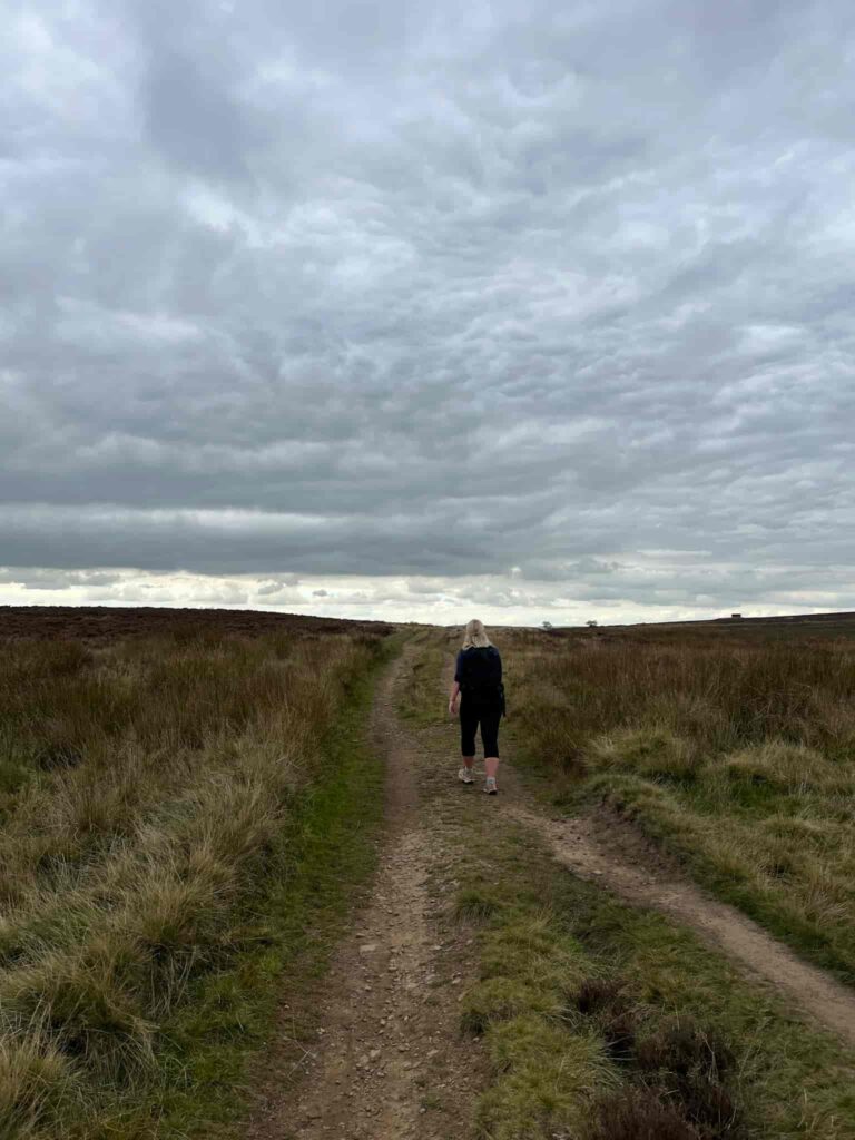
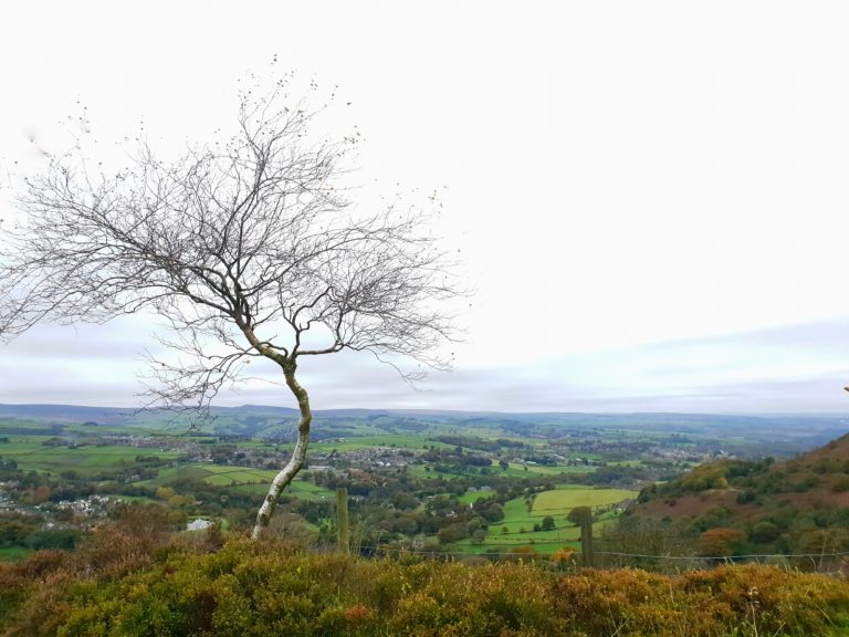
Digley Reservoir Walk | 1.5 Miles
Digley Reservoir is tucked away in the north of the Peak District, just below Black Hill and the Wessenden Moors. It’s a stunning place to explore, and this short circular walk heads around the reservoir and surrounding woodland, with interesting history along the way. It’s only 1.5 miles, so perfect for a quick morning stroll.
What to Expect
- Distance: A short walk, ideal for an hour or two’s stroll
- Terrain: A mix of reservoir paths, tracks and rougher grassy ground near the quarry and ruins. There are steep steps on one side and rough, rocky steps on the other so it’s not pram friendly.
- Underfoot: Can get muddy and wet in places, especially after rain, so waterproof boots are recommended – there’s a part near the steps that floods in wet weather.
- Facilities: None – there is sometimes an ice cream van in the southern car park.
- Exposure: Pack a waterproof and an extra layer even on mild days
- Dogs: Allowed, but the landowner Yorkshire Water requests they’re kept on leads.
- Best for: Families, casual walkers and history lovers looking for a short but atmospheric Pennine walk
Route Highlights
- Digley Reservoir: A peaceful Pennine reservoir on the edge of the Peak District, with a decent path and lovely views over the water and surrounding moorland
- The old quarries: A reminder of the area’s industrial past, with weathered gritstone and a bit of rugged character along the route
- Hoobram House ruins: The remains of a once-grand building that sits quietly in the landscape, a fascinating spot to pause and imagine who lived here
- Bilberry Reservoir: The site of one of Britain’s worst reservoir disasters. In the early hours of 5 February 1852, the Bilberry embankment gave way after heavy rain, sending a wall of water down the valley towards Holmfirth, with 81 lives lost. An inquest later found the reservoir was defective in its original construction
- Quiet moorland scenery: Open Pennine views and a real sense of peace, far from the crowds of the main Peak District hotspots
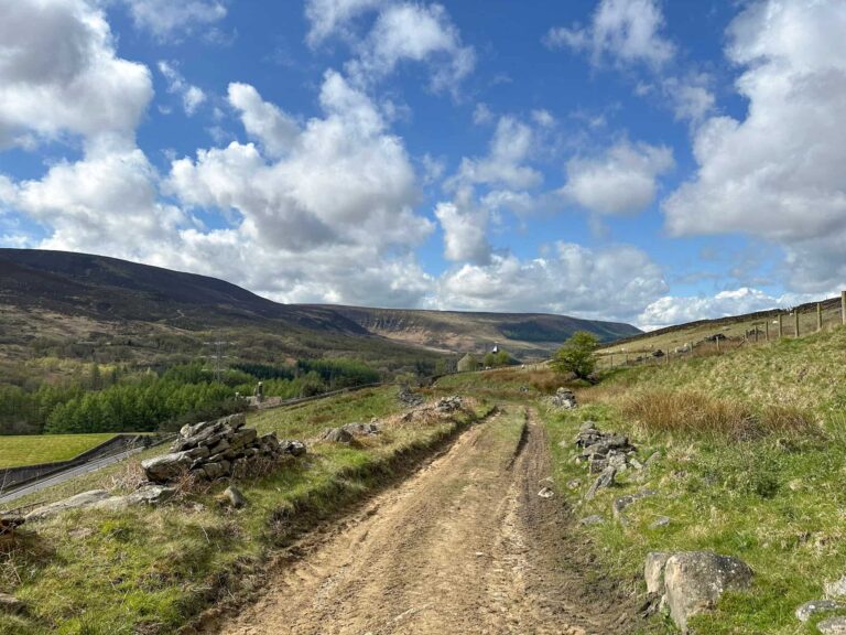
The walk starts from the quarry car park, itself a former quarry (Bingley Quarry). Heading up the ramp and turning right, the route leads up a stony track towards the old Alison Quarry, which has a huge 5m drop to the base of it. These quarries were used to supply stone locally, as well as for the building of Digley Dam in the 1940s.
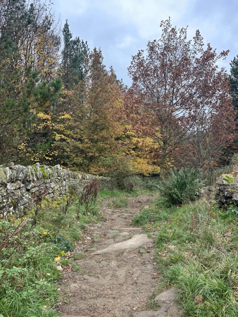
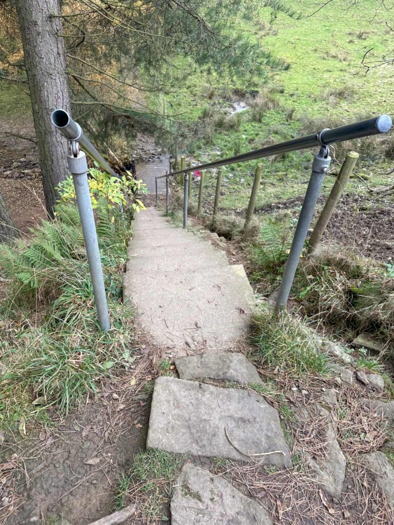
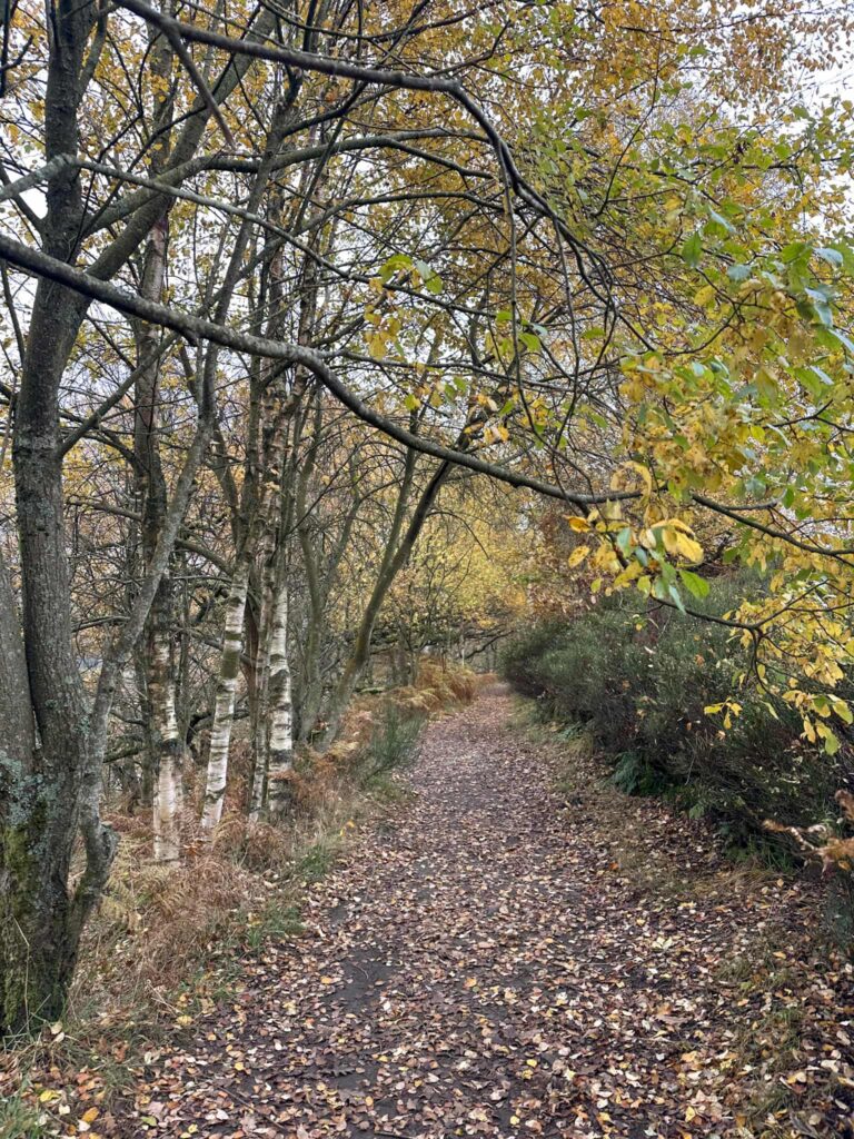
Continuing along the track, the route heads downhill gently before climbing some steps, and then descending steeply down some concrete steps with a hand rail. This area can be flooded after heavy rain. The track continues through the woodland a short distance before turning more rocky. Look out for the remains of old houses set into the walls on the left.
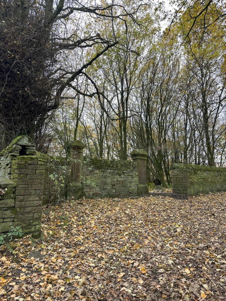
The path starts to climb gently and passes a pair of fine stone gateposts. This is pretty much all that remains of Hoobram House, a fine mansion house which once stood here but was demolished in 1938 to make way for the construction of the reservoir.
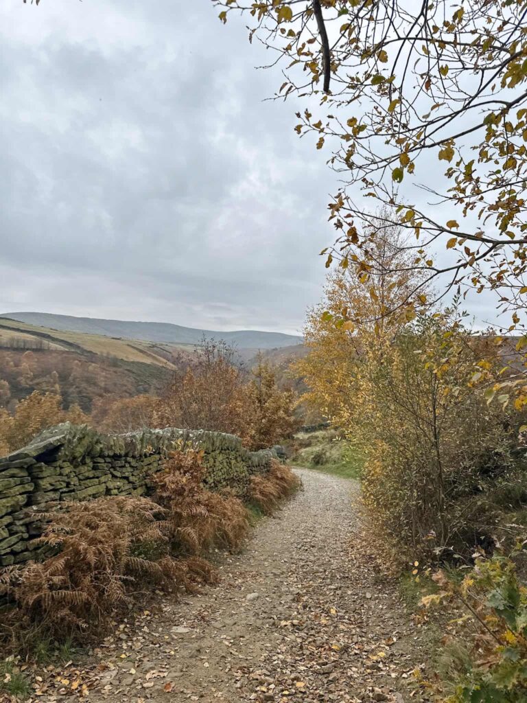
We carried on until the path forks, bearing left to head downhill. The path switches back on itself to head down towards the Bilberry Reservoir embankment.
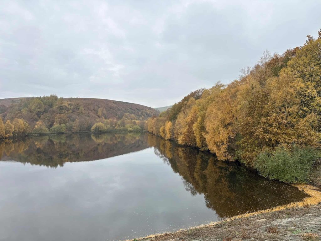
Built in the 1840s to supply water to the Holmfirth area, Bilberry became infamous in 1952 when the embankment gave way after heavy rain, sending a wall of water down the valley towards Holmfirth, with 81 lives lost. An inquest later found the reservoir was defective in its original construction, having been built on a spring which was eroding the structural integrity of the embankment. There is a memorial in Holmfirth town centre showing the height of the flood waters when it reached there.
Digley Reservoir, Bilberry’s next door neighbour, was planned during the 1930s, with much land being bought for its construction, but it was not completed until 1954.
Crossing the embankment and turning left, the path heads up some steep, rocky steps before entering a small woodland. There’s a nice bench here for a quick stop off, before heading through a gate into open fields.
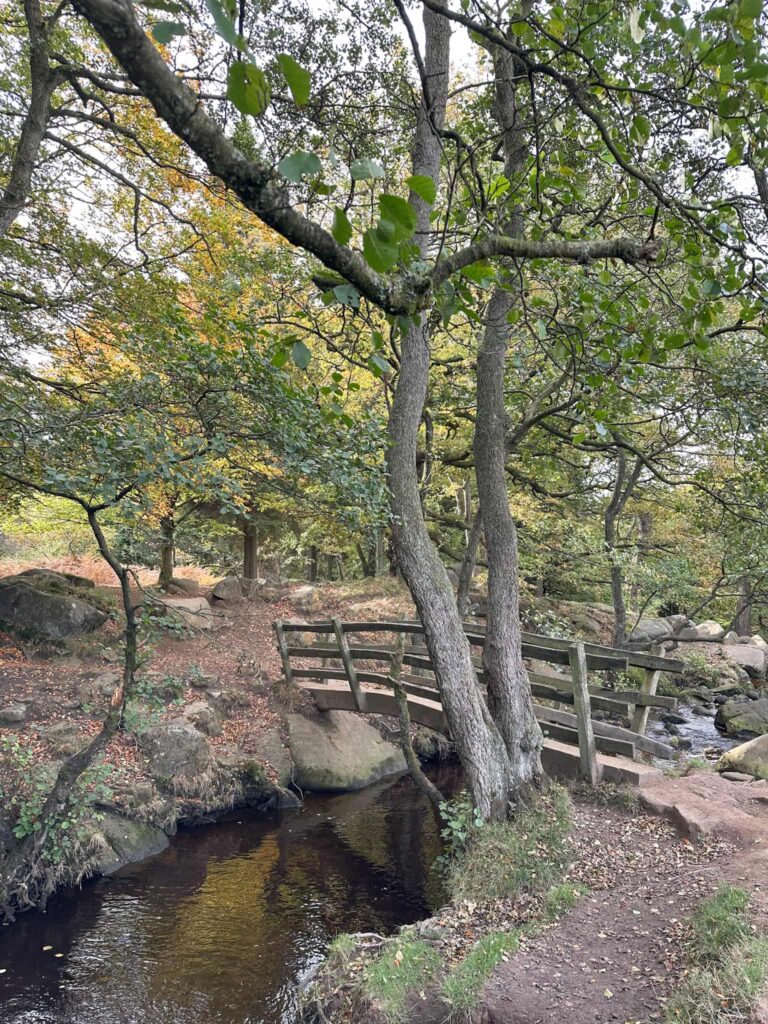
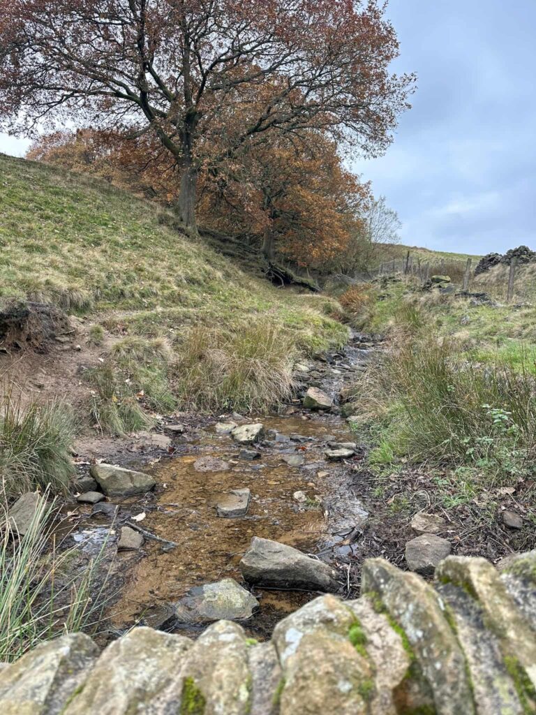
The route continues through another gate, passing over a small stream, and then winds its way along the top of a small woodland.
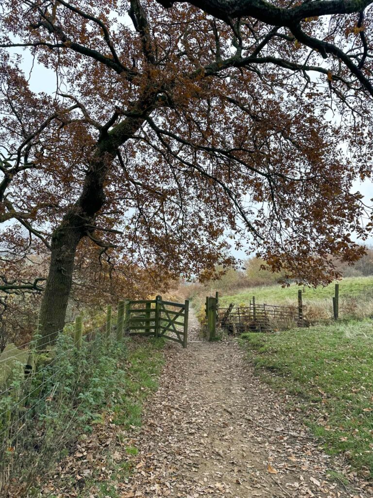
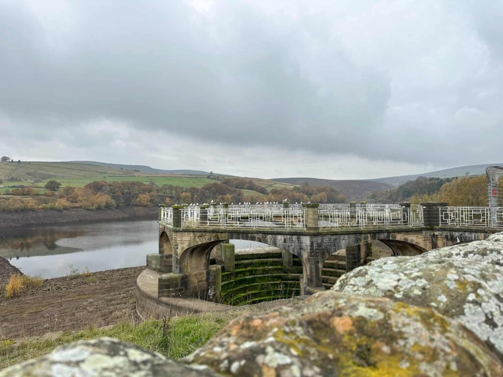
There’s another wooden gate to pass through and then you’re in the southern car park. Turning left, we walked along the road over the Digley Reservoir embankment, then turned left at the end of the road to walk past the reservoir overflow or Digley plughole. This is almost as impressive as the Ladybower plugholes when it’s overflowing.
With the reservoir on our left, we walked along the road a short distance before reaching the quarry car park.
This is a lovely walk, which is a perfect way to spend an hour or two.
Walk Map (Opens in OS Maps): Digley Reservoir Walk
Parking: Digley Quarry Car Park, Digley Royd Lane, Holmfirth HD9 2QD W3W:///headache.partly.swerving.
Facilities: None. There is a rubbish bin in the car park – please put any dog poo bags in the bin, not on tree branches.
Dogs: Allowed – landowner signage asks they are kept on leads.
Walk Time: 1-2 hours
Difficulty: ▲
Distance: 1.5 miles (2.4 km)
Elevation: 250 ft (76m)
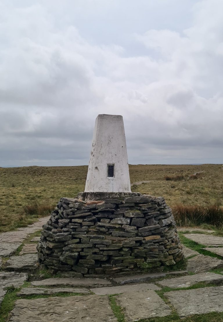
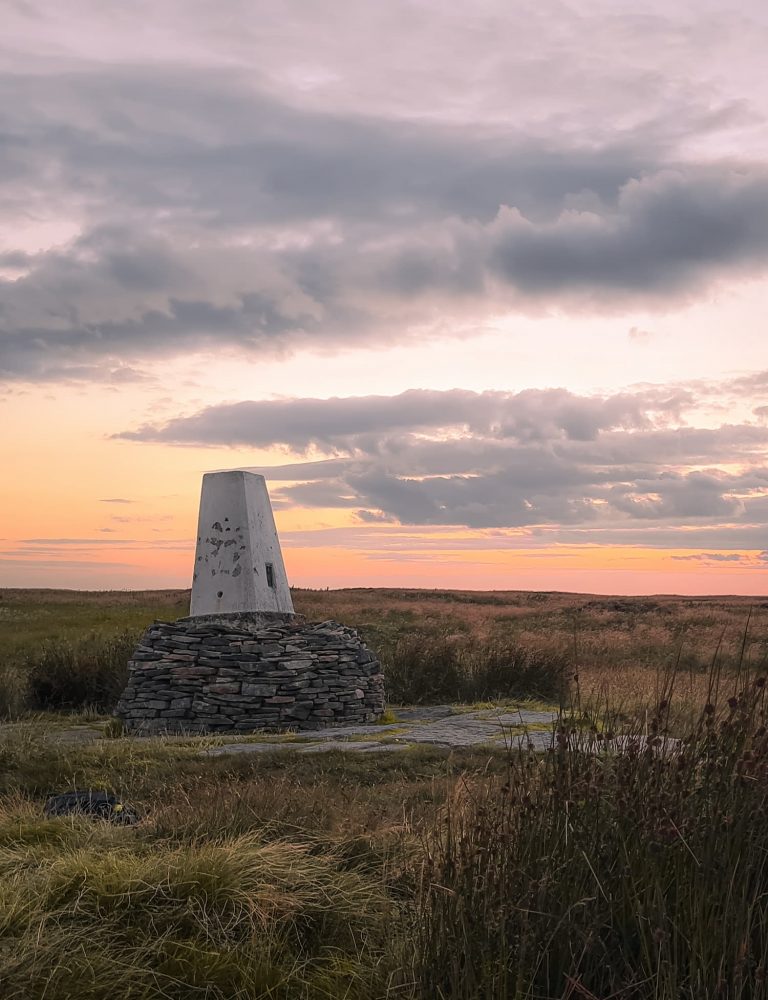
Trig Points Bagged: None
Peak District Ethels Bagged: None
You might also like: