• 3 Mile Walks or Less
  • 4 Mile Walks
  • 5 Mile Walks
  • 6 Mile Walks
  • 7 Mile Walks
  • 8 Mile Walks
  • 9 Mile Walks
  • 10 Mile Walks
  • 11 Mile Walks
  • 12 Mile Walks
  • 14 Mile Walks
  • 15 Mile Walks
  • 20+ Mile Walks

The Wandering Wildflower

Peak District Hikes

  • PEAK DISTRICT WALKS
    • SHORT WALKS UNDER 3 MILES
    • MEDIUM WALKS 4-9 MILES
    • LONG PEAK DISTRICT WALKS 10 MILES +
  • PEAK DISTRICT WALKS WITH PUBS
  • PEAK DISTRICT WALKS WITH KIDS
  • HOLMFIRTH WALKS

Torside Reservoirs Walk | 13 Miles

May 1, 2024 CIRCULAR WALKS, LONG PEAK DISTRICT WALKS 10 MILES +, PEAK DISTRICT WALKS

This Torside Reservoirs walk explores the Longdendale Valley and the Longdendale Chain of reservoirs, extending from Woodhead Reservoir to Bottoms Reservoir. At 13 miles this walk is relatively low level, with only a small climb near the Woodhead Tunnels.


A view of Woodhead Reservoir and the Woodhead Bridge

The Longdendale Chain is a series of 6 reservoirs on the River Etherow in the Longdendale Valley built between 1848 and 1884 to supply Manchester and Salford with fresh water. The reservoirs are Woodhead, Torside, Rhodeswood, Valehouse, Bottoms and Arnfield – there was originally a seventh, Hollingworth, but this was abandoned in 1990, and has become part of the Swallows Wood nature reserve. This walk only passes 5 of the 6 reservoirs and uses the Trans Pennine Trail (TPT) for part. 


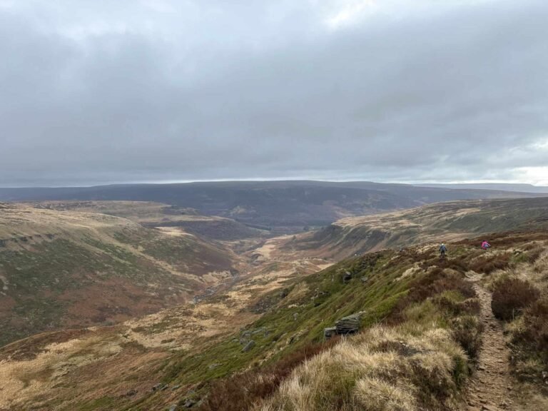
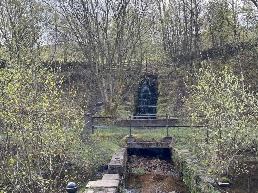
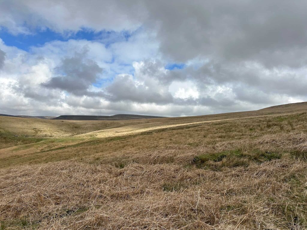
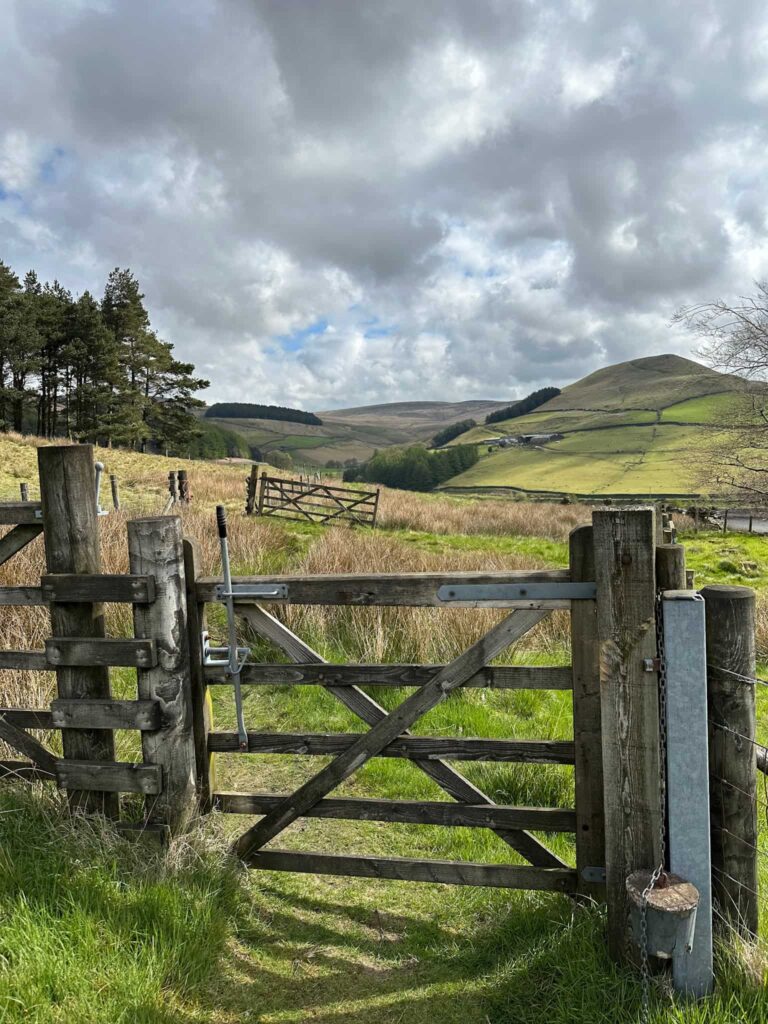
This Torside Reservoirs walk is 13 miles, and I used it as part of my half marathon training as it’s relatively low level and doesn’t involve any hikes up big hills! It’s a really pretty area as well with spectacular views down the valley and up onto Bleaklow, and involves a mix of woodland paths, wild rugged moorland and easy trails. The history of the area is fascinating, with the mills in the valley bottom being demolished to make way for the reservoirs, and the former Woodhead railway line.


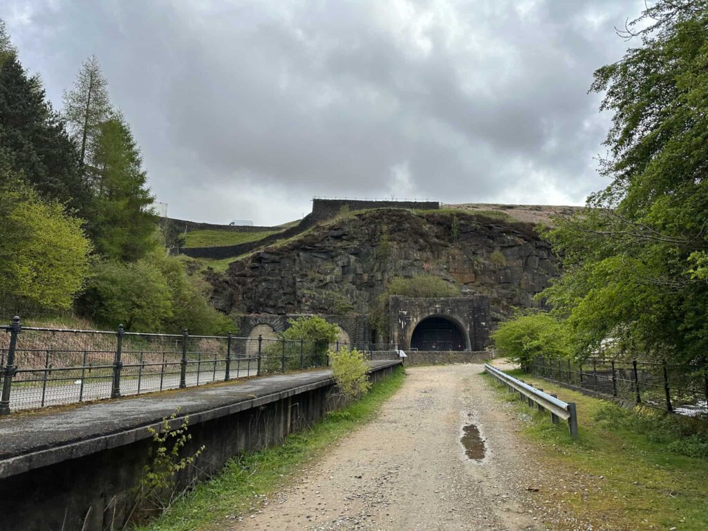
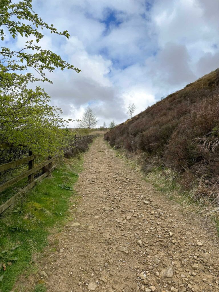
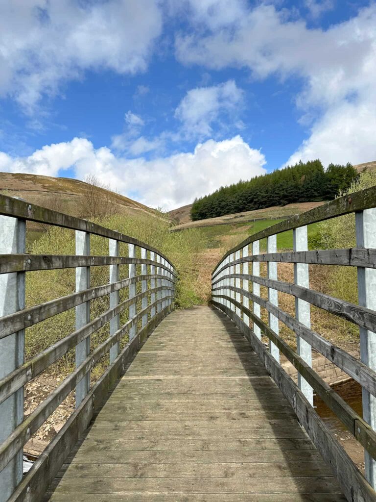
Starting from Torside car park, where there are some public loos, I headed up through the memorial wood to join the Longdendale Trail, which follows the route of the now disused Woodhead railway line connecting Manchester to Sheffield. The trail runs for around 3.5 miles from the car park until it reaches the former Woodhead Tunnels. The first two tunnels were built between 1845 and 1853, with the third being constructed in 1953. The line closed in the 1980s and the tunnels have since been repurposed for electrical apparatus. The remnants of the old Woodhead Station can still be seen though, including the old railway platform.

A water sluice

Woodhead Tunnels, former railway tunnels

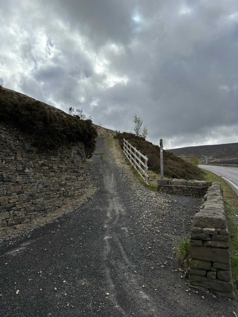
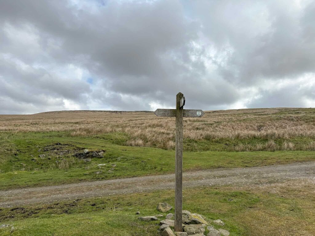
At the tunnels the route turns right into a rough car park and then out onto the main A628 road. Crossing over, there is a gate and switchbacks heading up Ironbower Moss to join Long Side, a path running around Pikenaze Moor and forming part of the Northern Horse Route.

A gravel track

A gravel track leading up a hillside

A wooden signpost

A wild, moorland view

A farm track leading across the moors

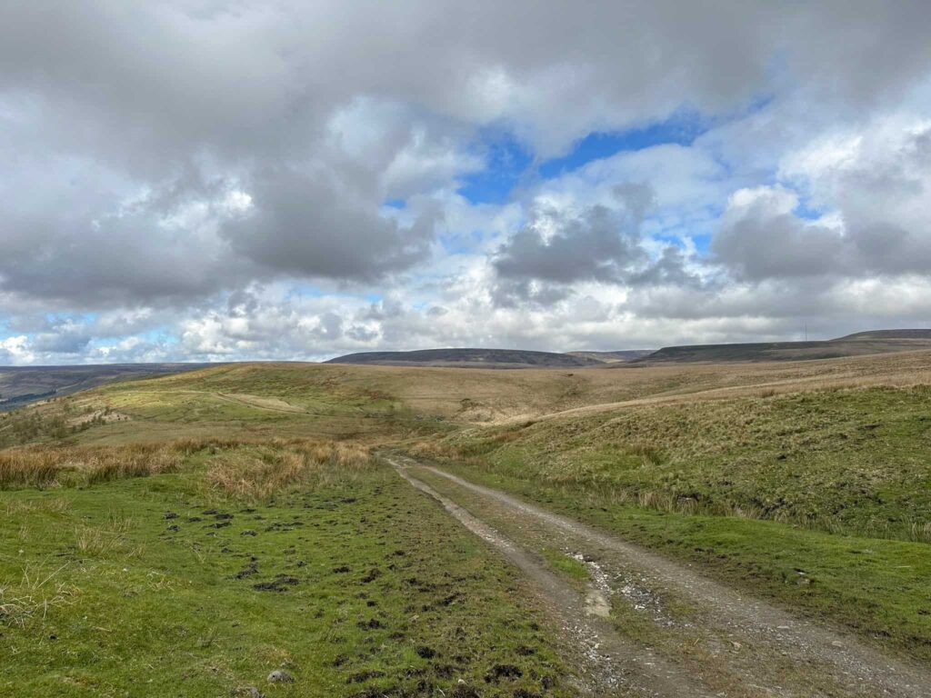
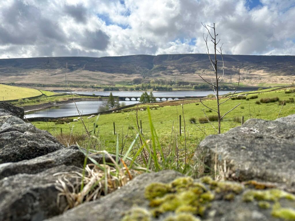
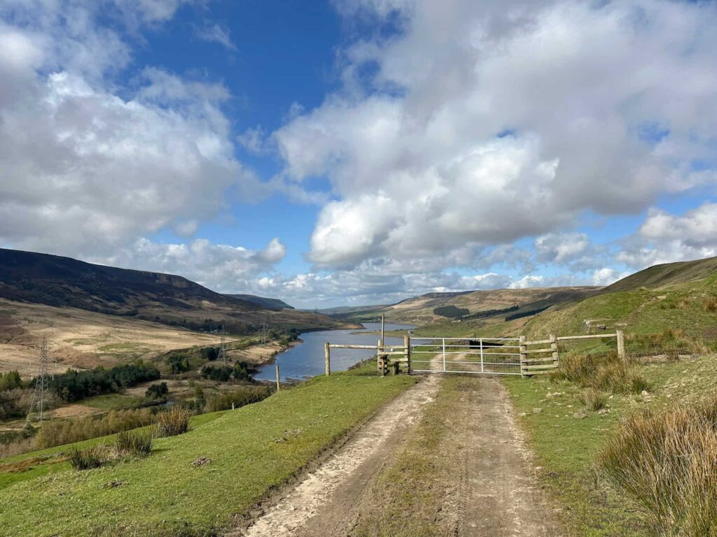
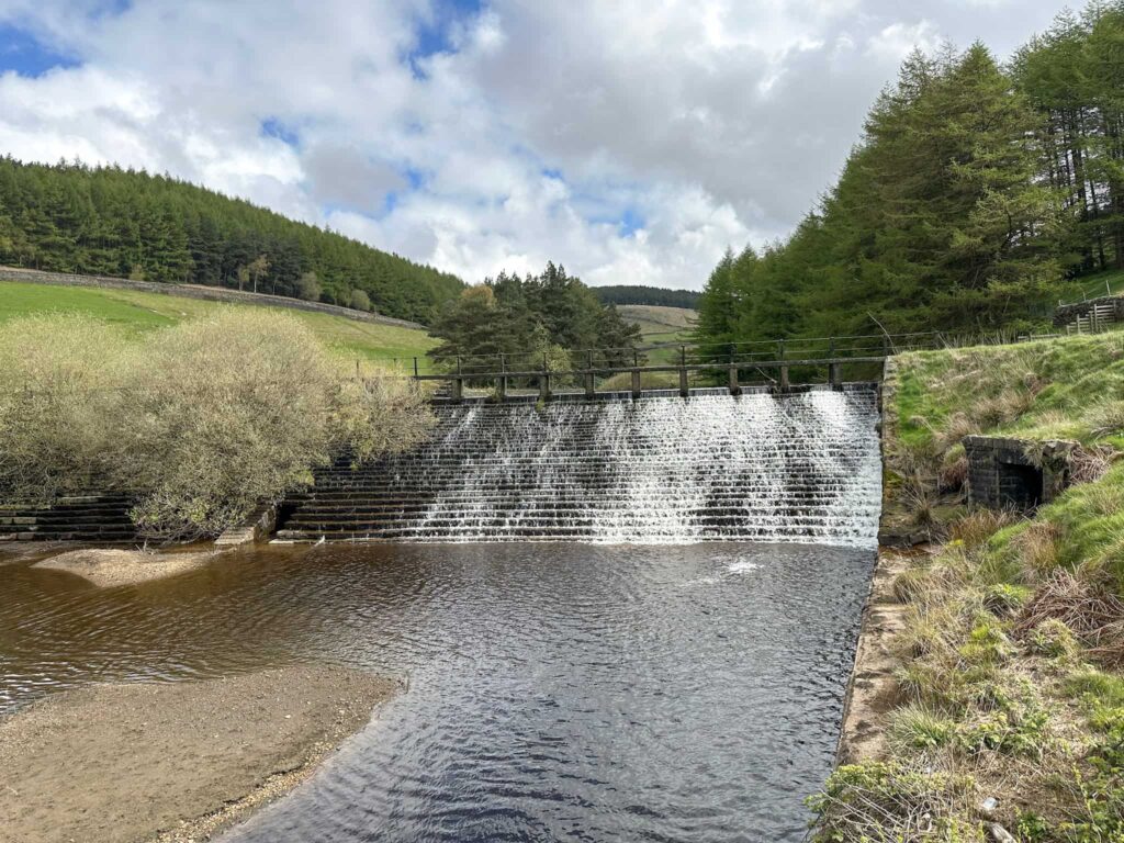
The path runs through the farm and down the farm drive, out onto the road and then immediately through a gate leading to a path running around Woodhead Reservoir. This is the top of the Longdendale Chain of reservoirs. The path runs across the bridge and out onto the Woodhead Pass.

A view down the Longdendale Valley with the reservoirs i the bottom

A wooden gate

Torside Reservoirs Circular walk

A path running over a wooden bridge with moorland beyond

A weir at Woodhead Reservoir

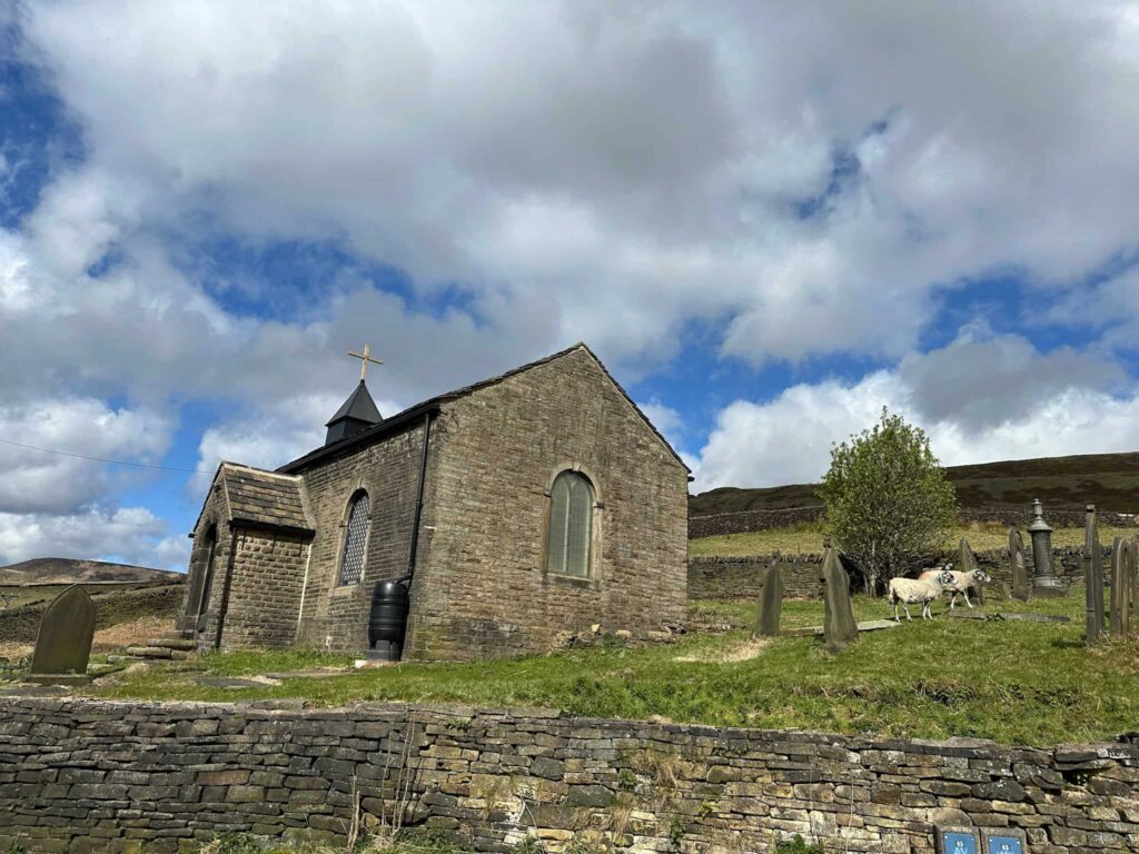
Crossing the road, the route continues along the Northern Horse Route, passing St James’ Chapel. Some of the railway navvies who died during the construction of the Woodhead Tunnels are buried here.

A wooden gate with a view of a conical shaped hill beyond

St James Chapel, Woodhead

The path runs adjacent to the main road before passing through a small wooded area and then out onto the road which leads down into Crowden car park near to the Crowden camp site. There are some public toilets near Crowden car park.

A path through a woodland

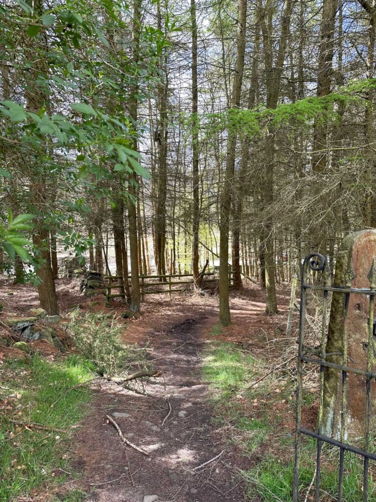
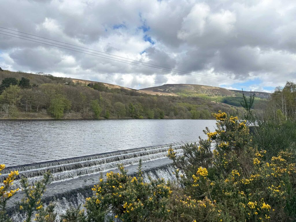
I headed out onto the main road for a short distance, then crossed over to pick up the footpath running through the nature reserve next to Torside Reservoir, the largest reservoir in the group. The path follows the edge of the reservoir before turning right and heading up into Tinsel School Wood.


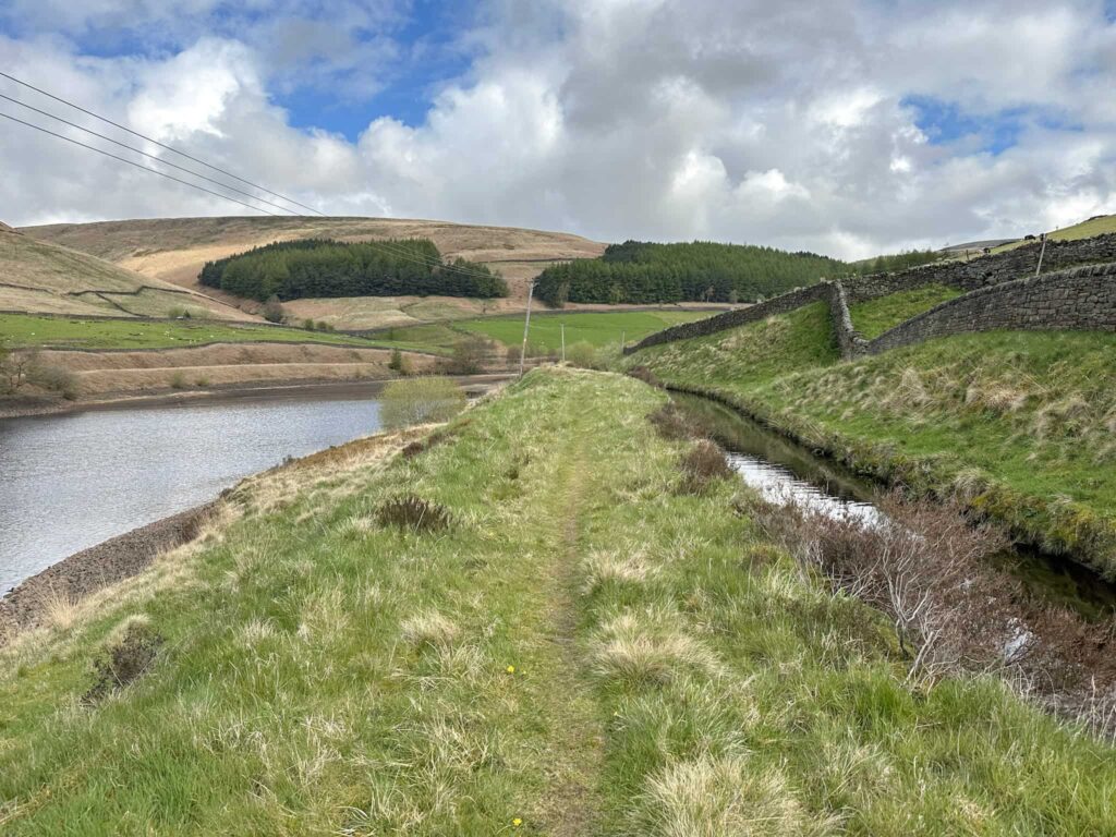
Coming back out of the woods next to the dam for Torside Reservoir, the path turns right and comes to a fork. I took the left hand fork and continued along Rhodeswood Reservoir.

A view across Valehouse Reservoir with Crowden in the background

The path then continues down the valley adjacent to Valehouse Reservoir, and here I crossed the embankment and followed the track past Valehouse Farm, up through the woods and then rejoined the Longdendale Trail.


The trail follows the TPT, crossing the road and then heading back to the car park.


Torside Reservoirs Walk Details:


Walk Route in OS Maps: Torside Reservoirs Circular Walk

Parking: Torside Car Park, B6105, Glossop SK13 1JF | W3W:///flagpole.trains.guests

Facilities: There are public toilets in the car park and at Crowden.

Walk Time: 5-6 hours

Difficulty: ▲▲

Distance: 13.4 miles (21.56km)

Elevation: 1225ft (373m)

Trig Points Bagged: None

Peak District Peaks Bagged: None

Peak District Ethels Bagged: None


For more walks nearby you might like:

Crowden to White Low and Hey Edge

Crowden Circular Walk via Crowden Quarry

Torside Reservoir Circular Walk

Tap to share with your hiking friends!

  • Facebook
  • Email
  • WhatsApp
« Rannerdale Knotts [and the Bluebells] | 4 Miles
Dodd Fell Summit Trail | 4 Miles »

RELATED POSTS

  • Hathersage Stepping StonesHathersage Stepping Stones Walk | 7 Miles
  • Ladybower ReservoirLadybower Walk | 6 Miles
  • Anvil Stone, GrindsbrookGrindsbrook Clough Scramble to Grindslow Knoll | 7 Miles
  • South Nab Trig Point and Windleden Reservoirs - Peak District Circular Walks - The Wandering WildflowerSouth Nab Trig Point and Windleden Reservoirs | 4 Miles

Leave a Reply Cancel reply

Your email address will not be published. Required fields are marked *

FIND YOUR NEXT WALK:

ABOUT ME

Y Garn with Kids - Y Garn via the Devil's Kitchen Walk in Ogwen Valley

Hello! I’m Jo! Welcome to The Wandering Wildflower, an outdoors lifestyle blog focusing on family walks in the Peak District, a place we love exploring. I want to share the Peak District hidden gems and show you there’s so much more than the honeypot places. When I’m not dragging my husband and now 11 year old out on Peak District walks or up mountains, I can be found on planning my next moorland walk or plotting a Geocache walk (and seeing where the nearest pub is!). I love the hills but hate the heights, so trig bagging is – er- fun!


I hope this blog will give you some ideas of places to visit in the Peak District and inspire you and your family to head into the great outdoors.  Thanks for stopping by!

CATEGORIES

  • CIRCULAR WALKS (188)
  • HOLMFIRTH WALKS (27)
  • ISLE OF SKYE WALKS (3)
  • LAKE DISTRICT WALKS (24)
  • LANCASHIRE WALKS (2)
  • LONG PEAK DISTRICT WALKS 10 MILES + (42)
  • MEDIUM WALKS 4-9 MILES (136)
  • PEAK DISTRICT SCRAMBLES (16)
  • PEAK DISTRICT WALKS (202)
  • PEAK DISTRICT WALKS WITH KIDS (75)
  • PEAK DISTRICT WALKS WITH PUBS (60)
  • SCOTLAND WALKS (6)
  • SHORT WALKS UNDER 3 MILES (40)
  • SNOWDONIA WALKS (5)
  • UK CAMPING (5)
  • YORKSHIRE WALKS (33)

Peak District Walks

List of Peak District Ethels

Peak District Peak Bagging

Peak District Trig Point Challenge

Peak District Walks with Pubs

Peak District Walks with Kids

Beautiful Walks in Holmfirth

Short Walks in the Peak District

Long Walks in the Peak District

AFFILIATE DISCLOSURE

This blog may contain affiliate links through which, at no additional cost to you, I may earn a small commission. I only recommend products I would use myself and all opinions expressed here are my own. As an Amazon Associate I earn from qualifying purchases. Read full privacy policy here.

ARCHIVES

PEAK DISTRICT WEATHER

Peak District mountain weather on Met Office

Peak District Trig Points

Promo image for a blog post about the Peak District Trig Point Challenge With Map of Peak District Trig Points and Walking Routes by The Wandering Wildflower

Peak District Ethels Challenge

Promo image for a blog post about the Peak District Trig Point Challenge With Map of Peak District Ethels and Walking Routes by The Wandering Wildflower

WALKING ROUTES STRAIGHT TO YOUR INBOX

Want new walks in your inbox? Drop your email below and I'll send you some ideas for walks you can try.

You can unsubscribe anytime. For more details, review our Privacy Policy.

Thank you!

You have successfully joined our subscriber list.

RSS LATEST POSTS

  • Burnbank Fell, Blake Fell and Gavel Fell | 8 Miles
  • Bretton Park Circular Walk | 3 Miles
  • Hathersage Stepping Stones Walk | 7 Miles
  • Ladybower Walk | 6 Miles
  • Derbyshire Peak District Walks

FOLLOW ON PINTEREST

Want new walks in your inbox? Drop your email below and I'll send you some ideas for walks you can try.

You can unsubscribe anytime. For more details, review our Privacy Policy.

Thank you!

You have successfully joined our subscriber list.

jo@thewanderingwildflower.co.uk

The Wandering Wildflower

  • Email
  • Facebook
  • Instagram
  • Pinterest
  • PRIVACY POLICY
  • TERMS & CONDITIONS
  • ABOUT

(c) The Wandering Wildflower. All Rights Reserved.

|| THEME BY ECLAIR DESIGNS