• 3 Mile Walks or Less
  • 4 Mile Walks
  • 5 Mile Walks
  • 6 Mile Walks
  • 7 Mile Walks
  • 8 Mile Walks
  • 9 Mile Walks
  • 10 Mile Walks
  • 11 Mile Walks
  • 12 Mile Walks
  • 14 Mile Walks
  • 15 Mile Walks
  • 20+ Mile Walks

The Wandering Wildflower

Peak District Hikes

  • PEAK DISTRICT WALKS
    • SHORT WALKS UNDER 3 MILES
    • MEDIUM WALKS 4-9 MILES
    • LONG PEAK DISTRICT WALKS 10 MILES +
  • PEAK DISTRICT WALKS WITH PUBS
  • PEAK DISTRICT WALKS WITH KIDS
  • HOLMFIRTH WALKS

Errwood Hall and Shining Tor Plane Wreck | 7 Miles

June 13, 2024 CIRCULAR WALKS, MEDIUM WALKS 4-9 MILES, PEAK DISTRICT WALKS, PEAK DISTRICT WALKS WITH KIDS

This walk explores some of the history of the Goyt Valley, starting with the eerie ruins of Errwood Hall before heading up to Shining Tor, the highest point in Cheshire to discover the Airspeed Oxford wreck site. The route then visits Cats Tor and Foxlow Edge, as well as the tucked-away St Joseph’s shrine. This is a 7 mile walk.
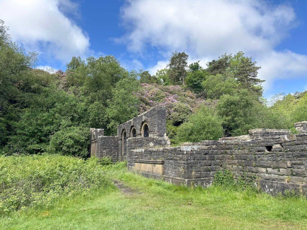
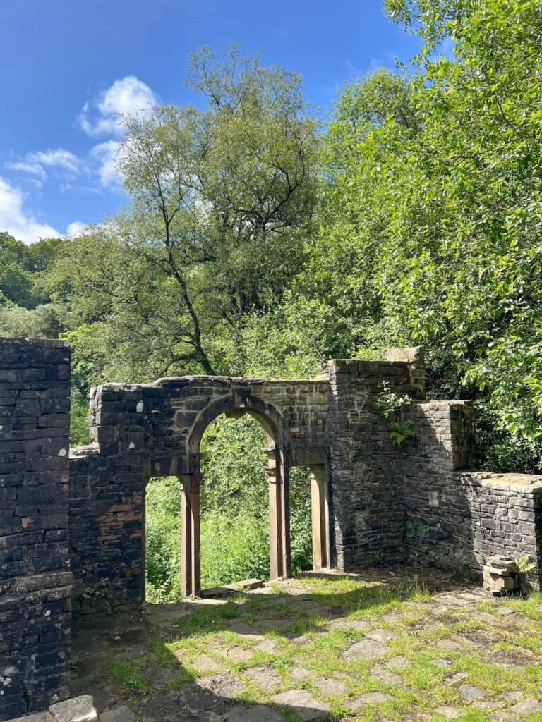
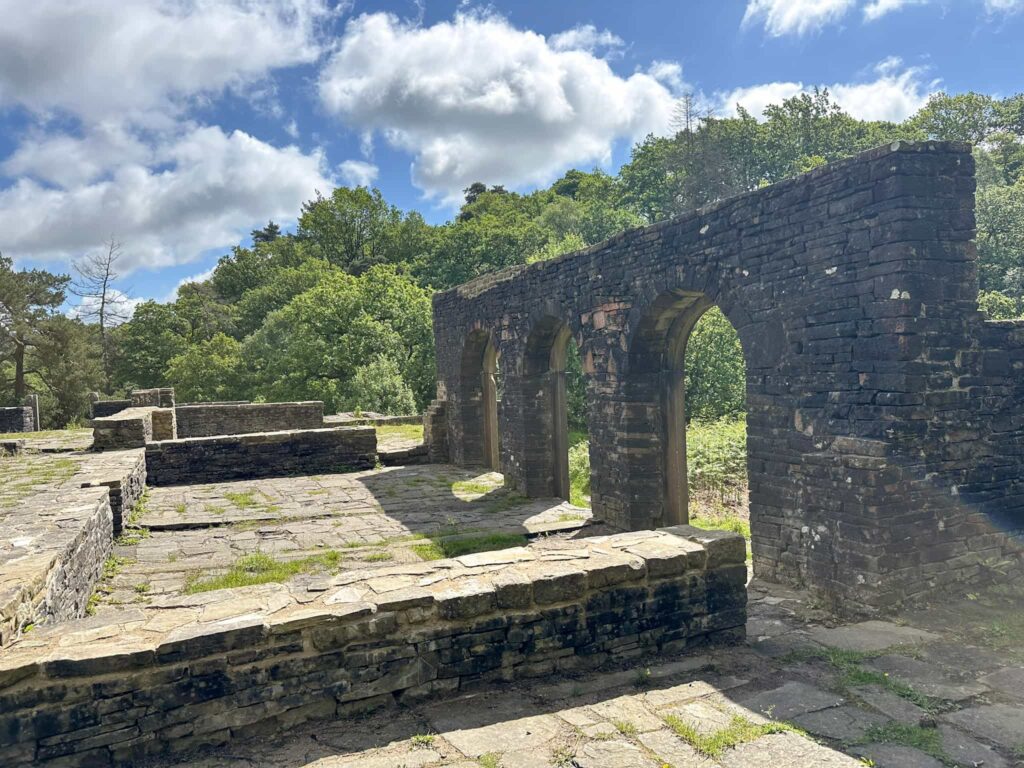
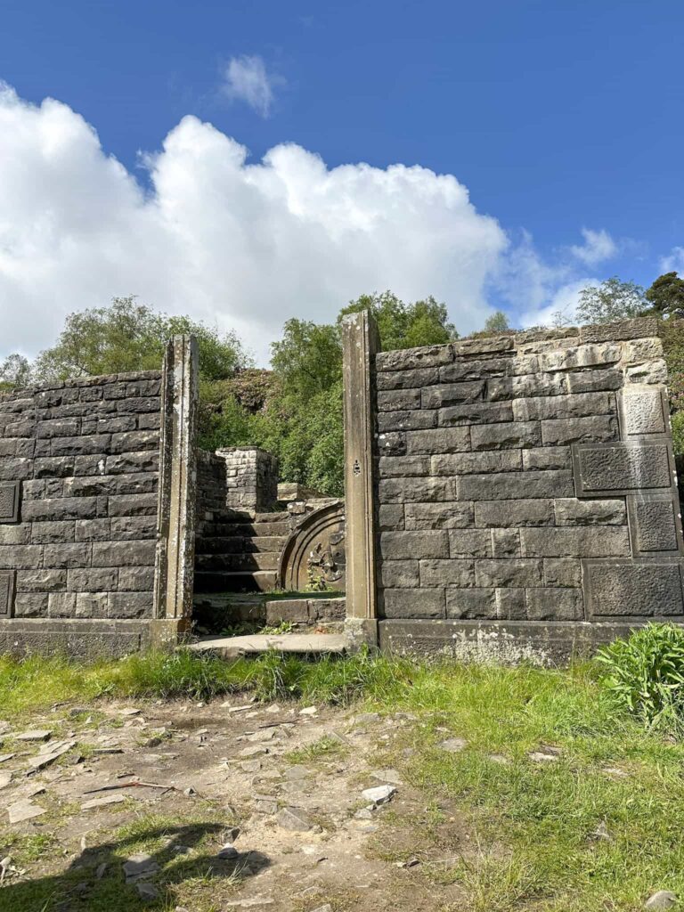
 

The ruins of Errwood Hall


Errwood Hall Ruins

Errwood Hall, a magnificent country house built in 1843, was the home of the Grimshawe family. It survived for less than 100 years, being demolished in 1934 when the construction of the Fernilee Reservoirs was ongoing. This once grand Victorian mansion is now just a sad pile of stones, however there are hints of its former grandeur in the window reveals and the once ornate crest which stood over the door. There are some photos on Goyt-Valley.org which show the house in better days, with an ornate archway leading up to the family cemetery on the hillside. The cemetery and vault are still there and well worth a visit.


Shining Tor Plane Wreck

The Airspeed Oxford Mk1 LX745 crashed on 12 March 1944. The three crew members survived the crash but sadly perished from exposure and were found huddled against the wreckage. Nearby there are also the sites of some other plane crashes:

  • Boulton-Paul Defiant T3921 (SJ 99906 73401)
  • North American Harvard MK 2B FT442 (SJ 99753 73746)
  • Noorduyn NOrseman UC-64A, 43-35439 (SJ 99830 73579)


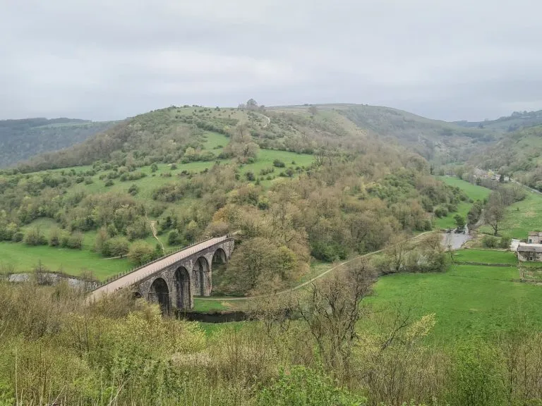
We visited these sites on this walk as they are just off the main path up to Shining Tor but we couldn’t see any debris at any of these sites, so you might not want to bother! The GPX file doesn’t have these sites included but the Komoot map is the route we walked, so does. You can download a GPX file from Komoot, or use the grid references given to find the sites.


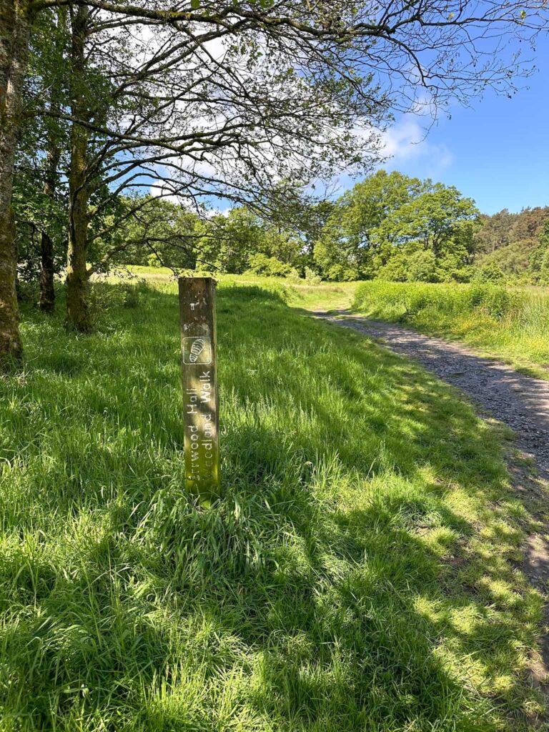
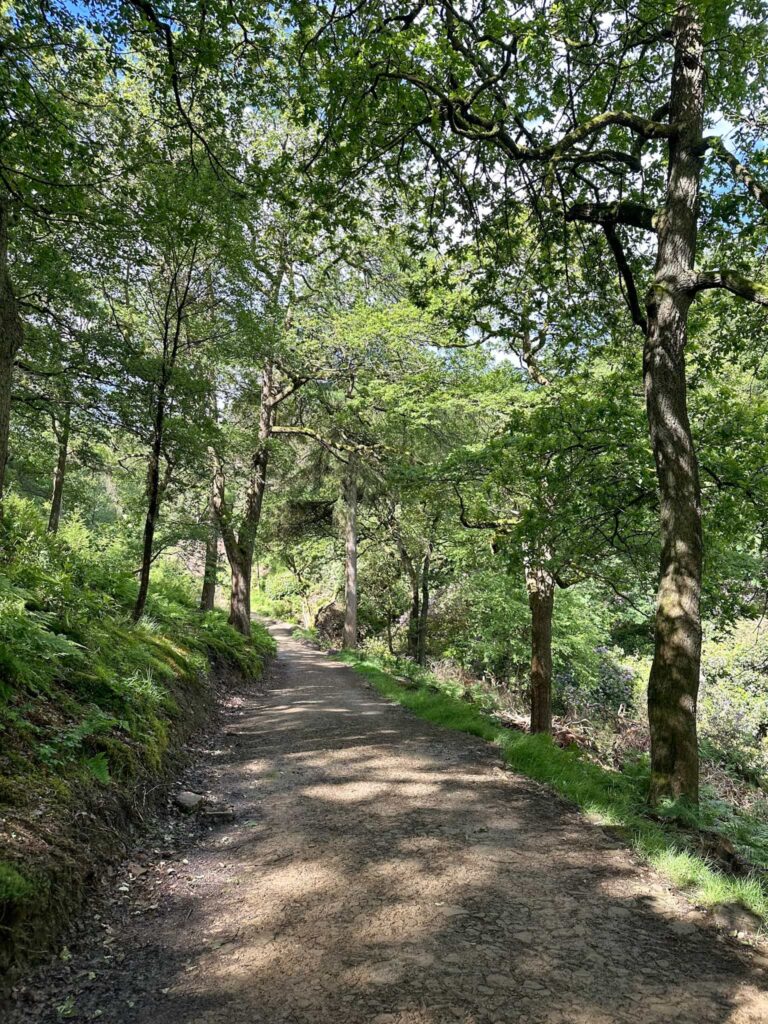
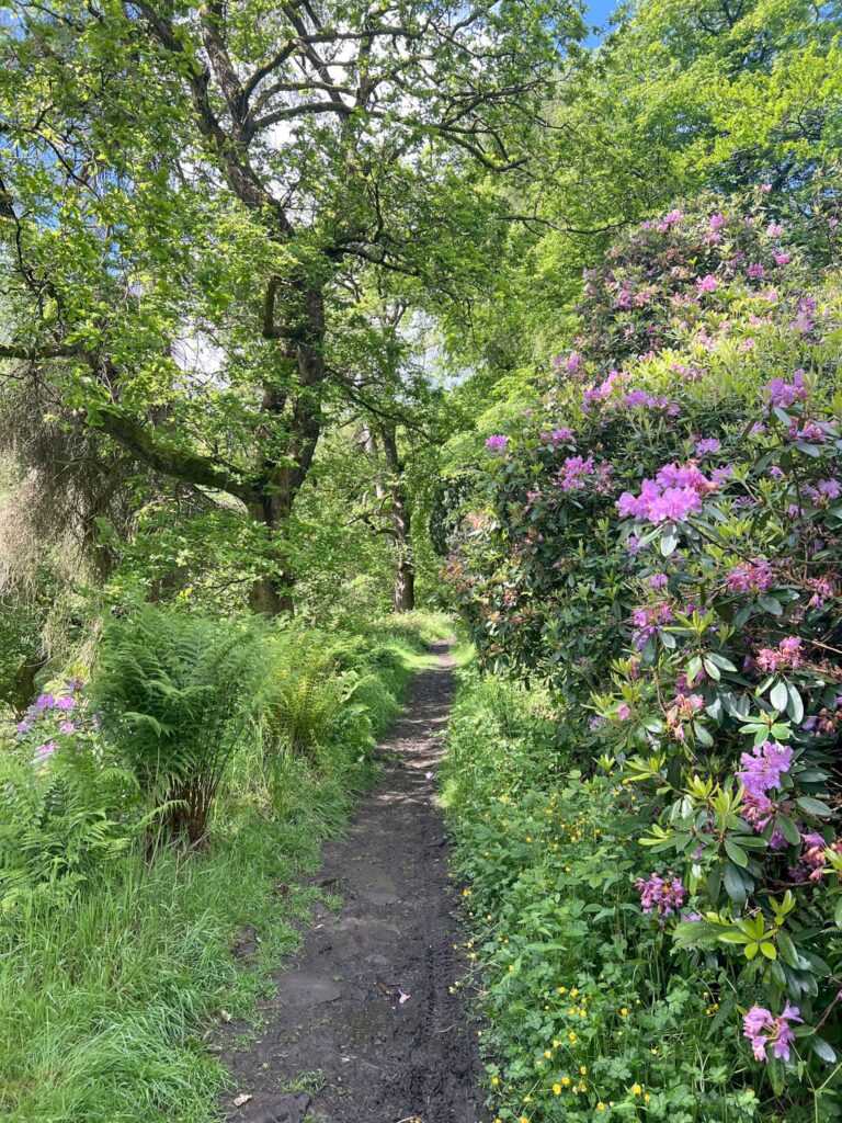
Our walk started from the free Errwood Hall car park (we have done a very similar route starting from the car park at Pym Chair if you prefer). We followed the Errwood Hall trail marker sign up through the meadow and into the woods, then followed a trail which leads to a set of steps. After climbing the steps we were in the grounds of Errwood Hall.

Errwood Hall Trail Marker

A woodland path

The ruins of Errwood Hall

The ruins of Errwood Hall

The ruins of Errwood Hall


We had an explore and then set off up to the west to the hillside cemetery where the Grimshawe family vault is.

A stone cross marking the graves of the Grimshawe family

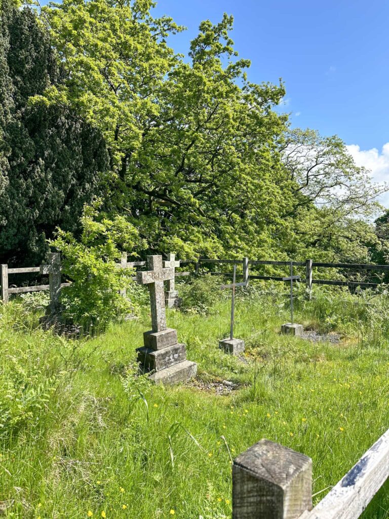
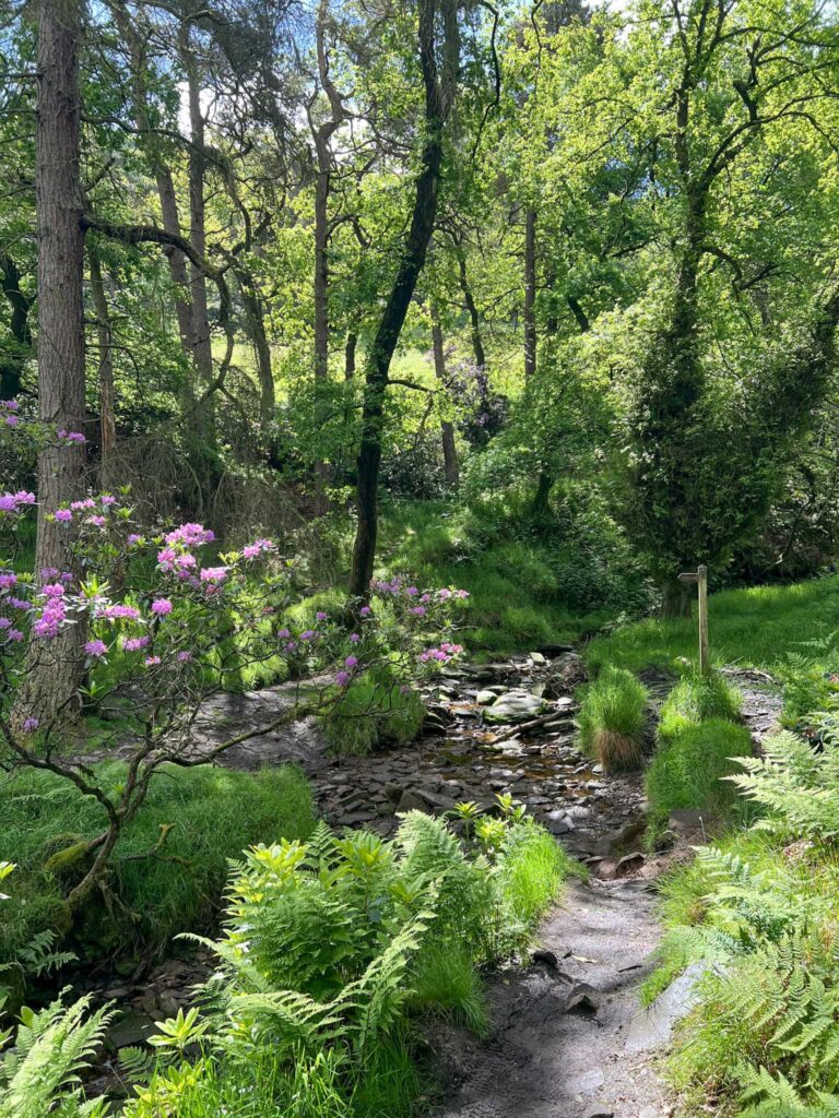
From here we walked through the woods around the back of the cemetery, passing an avenue of yew trees leading to the vault, and down into the fields to the ruins of Castedge Farmhouse, which was destroyed around the same time as Errwood Hall. We came to a junction and carried on straight up Shooters Clough through the woods. The path has a couple of switchbacks and climbs up to a gate leading into the Open Access Land.

A wooded path with pink rhododendron flowers to the right of the image

A path through the woods

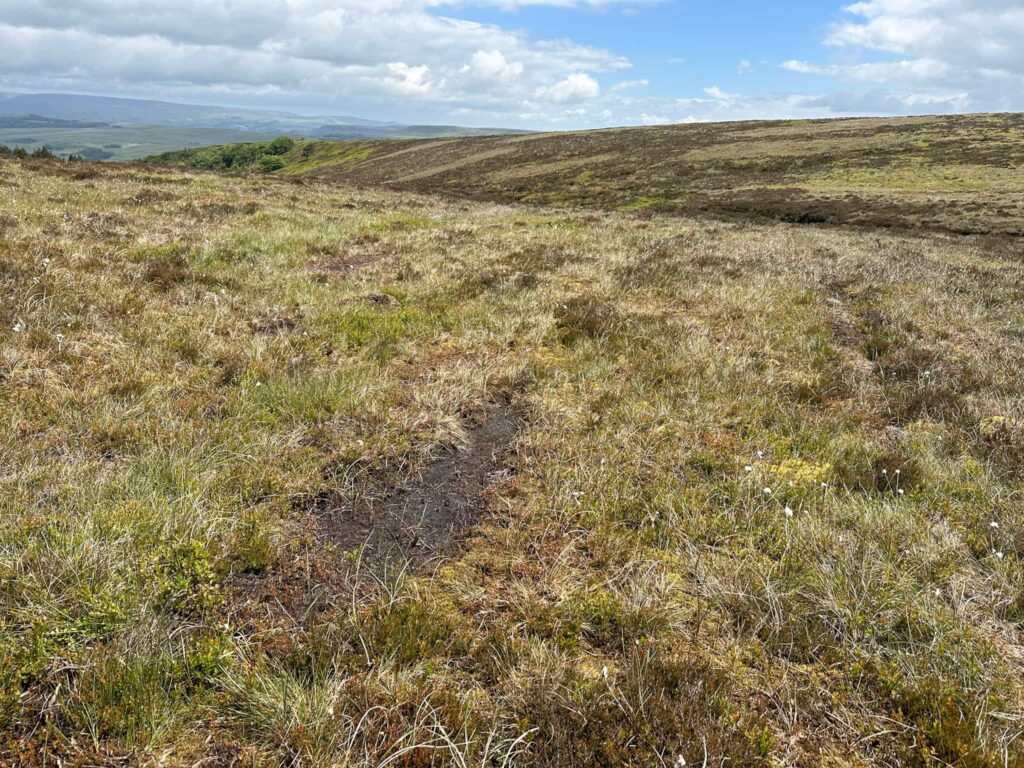
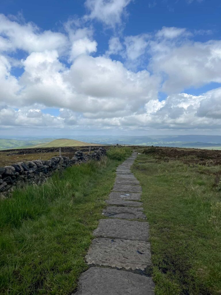
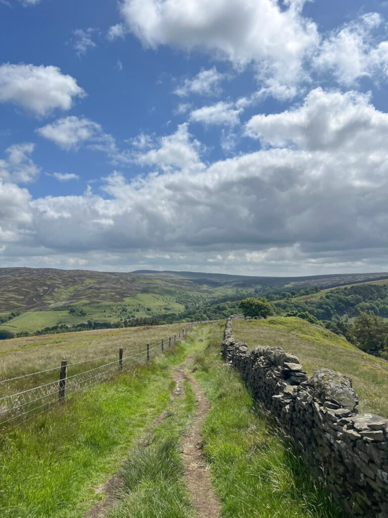
Heading south along the wall, the path climbs steadily to a T-junction and we turned right at a holly bush to join the main path up to Shining Tor. Here our original route included visiting the crash sites of the other 3 planes, however we could find no remains at any of them. We should have just carried on up the main path rather than yomping about in the heather for no reason!!

The path leading to the summit of Shining Tor

What looks to be a bare patch of earth on a moorland

The wreck site of the Noorduyn Norseman.

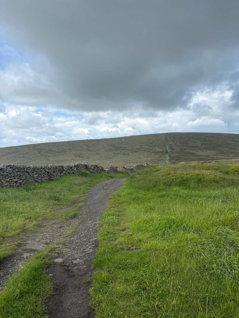
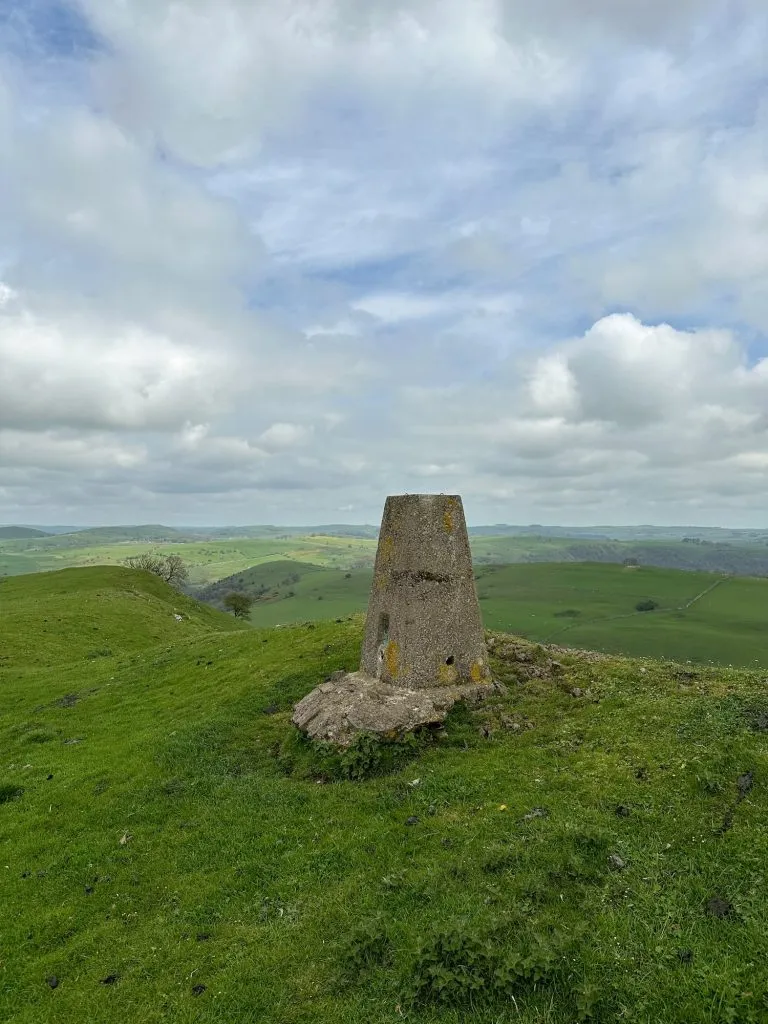
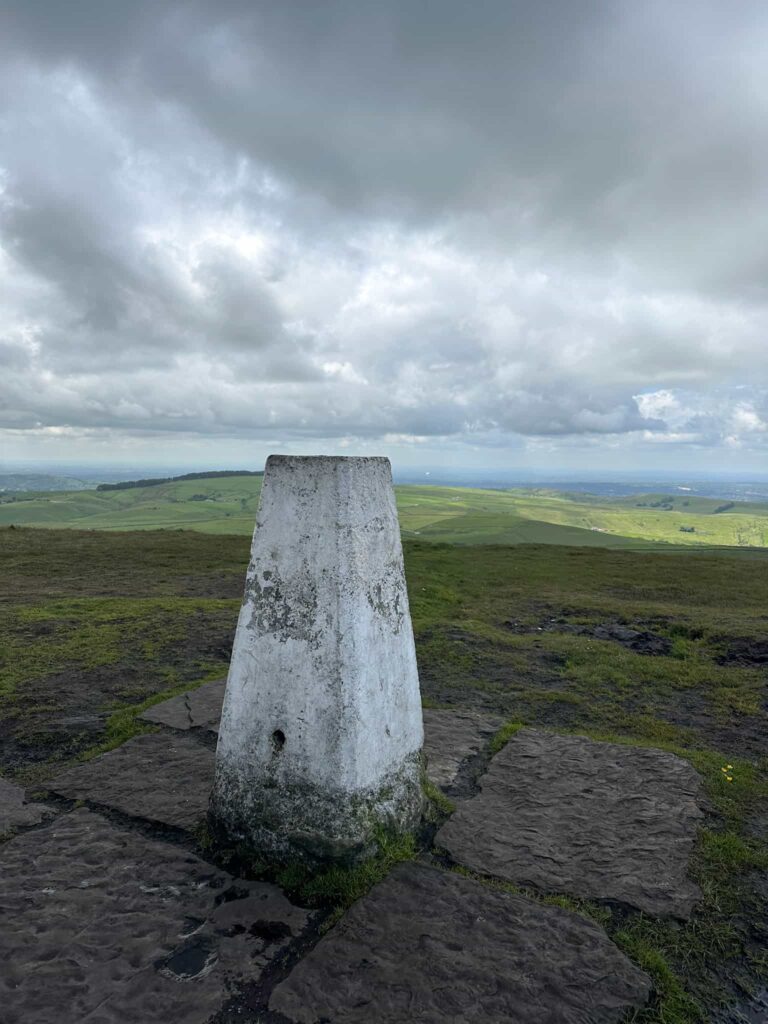
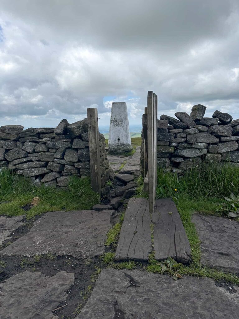
The trig point at Shining Tor is just through a little wooden gate, and there are stunning views over to Shutlingsloe and Manchester from here. Shining Tor is the highest point in Cheshire at 559m above sea level.

Shining Tor trig point

Shining Tor trig point

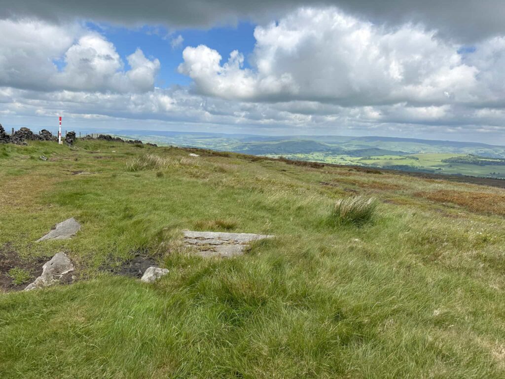
We rejoined the paved path that runs roughly north along to Cats Tor, and after around 1km we left the path in search of the Shining Tor plane wreck, the Airspeed Oxford.
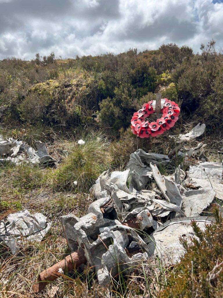
Airspeed Oxford wreckage on Shining Tor

After exploring the wreck and removing some rubbish which some idiot had stuffed in the heather, we headed off to Cats Tor which is an Ethel summit but isn’t marked by anything. The path runs along to join the road at Pym Chair, so we followed the road south-east for around half a mile until we reached a parking lay-by and a wooden gate which leads onto Foxlow Edge.

A path made from stone slabs running over the moors

The summit of Cats Tor

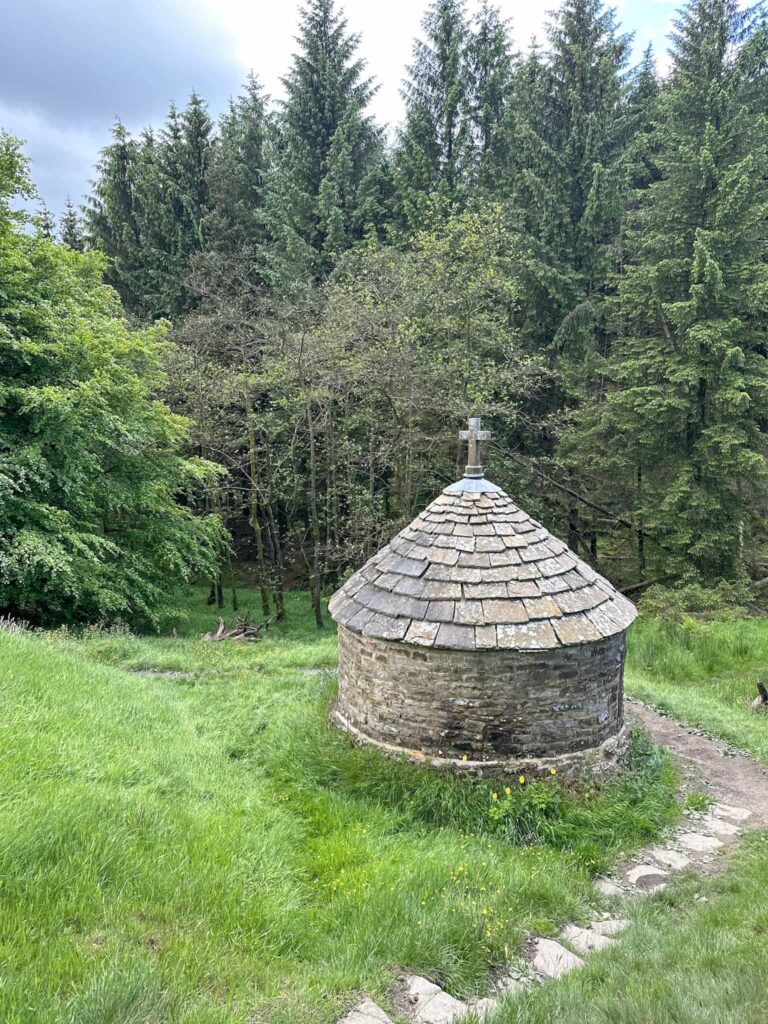
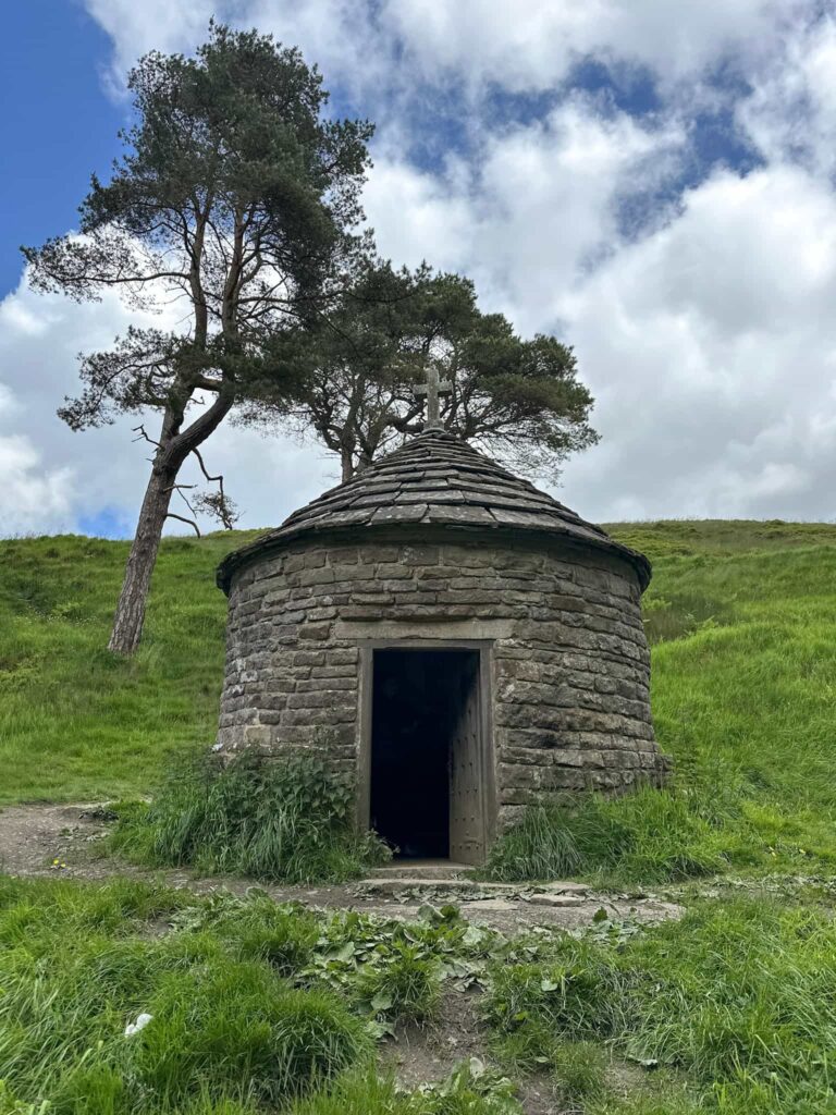
Instead of immediately climbing up Foxlow Edge we took a little detour down the hillside to visit St Joseph’s Shrine, built for Dolores, the governess who worked at Errwood Hall. It’s a lovely little building.

Looking down the hillside to St Joseph's Shrine at Errwood Hall, small round chapel building

We retraced our steps and then headed up the hill to the summit of Foxlow Edge (again, another Ethel whose summit isn’t marked). The route then heads steeply down through the woods to rejoin the road leading to the car park, passing over Shooters Clough Bridge along the way.

A view along a path on the moors, with a stone wall on the right hand side

This is a great walk if you like discovering the history of the area, and exploring forgotten places.


Shining Tor Plane Wreck Walk Details:


Walk Route in OS Maps: Errwood Hall and Shining Tor Plane Wreck Walk

Parking: Free parking in Errwood Hall car park, Buxton SK17 6GJ W3W:///incoming.correctly.chuckle

Facilities: None – remember to leave no trace and take all your rubbish away with you.

Walk Time: 3-4 hours

Difficulty: ▲▲

Distance: 7 miles (11.3km)

Elevation: 1525ft (464m)

Trig Points Bagged: Shining Tor

Peak District Peaks Bagged: Shining Tor, Cats Tor, Foxlow Edge

Peak District Ethels Bagged: Shining Tor, Cats Tor, Foxlow Edge


For more Peak District walks, you might like:

Shutlingsloe Circular Walk via Whetstone Ridge | 8 Miles

Teggs Nose to White Nancy Circular Walk | 7 Miles


Tap to share with your hiking friends!

  • Facebook
  • Email
  • WhatsApp
« Derwent Valley Skyline Walk | 24.5 Miles
Blackden Brook Scramble to Edale Moor Trig Point | 8 Miles »

RELATED POSTS

  • Three Shires HeadHow to Find Three Shires Head
  • Hathersage Stepping StonesHathersage Stepping Stones Walk | 7 Miles
  • Ladybower ReservoirLadybower Walk | 6 Miles
  • Gritstone outcrops on Froggatt EdgeCurbar Edge Walk with Froggatt Edge and White Edge | 6 Miles

Leave a Reply Cancel reply

Your email address will not be published. Required fields are marked *

FIND YOUR NEXT WALK:

ABOUT ME

Y Garn with Kids - Y Garn via the Devil's Kitchen Walk in Ogwen Valley

Hello! I’m Jo! Welcome to The Wandering Wildflower, an outdoors lifestyle blog focusing on family walks in the Peak District, a place we love exploring. I want to share the Peak District hidden gems and show you there’s so much more than the honeypot places. When I’m not dragging my husband and now 11 year old out on Peak District walks or up mountains, I can be found on planning my next moorland walk or plotting a Geocache walk (and seeing where the nearest pub is!). I love the hills but hate the heights, so trig bagging is – er- fun!


I hope this blog will give you some ideas of places to visit in the Peak District and inspire you and your family to head into the great outdoors.  Thanks for stopping by!

CATEGORIES

  • CIRCULAR WALKS (189)
  • HOLMFIRTH WALKS (27)
  • ISLE OF SKYE WALKS (3)
  • LAKE DISTRICT WALKS (24)
  • LANCASHIRE WALKS (2)
  • LONG PEAK DISTRICT WALKS 10 MILES + (42)
  • MEDIUM WALKS 4-9 MILES (137)
  • PEAK DISTRICT SCRAMBLES (16)
  • PEAK DISTRICT WALKS (205)
  • PEAK DISTRICT WALKS WITH KIDS (76)
  • PEAK DISTRICT WALKS WITH PUBS (60)
  • SCOTLAND WALKS (6)
  • SHORT WALKS UNDER 3 MILES (40)
  • SNOWDONIA WALKS (5)
  • UK CAMPING (5)
  • YORKSHIRE WALKS (33)

Peak District Walks

List of Peak District Ethels

Peak District Peak Bagging

Peak District Trig Point Challenge

Peak District Walks with Pubs

Peak District Walks with Kids

Beautiful Walks in Holmfirth

Short Walks in the Peak District

Long Walks in the Peak District

AFFILIATE DISCLOSURE

This blog may contain affiliate links through which, at no additional cost to you, I may earn a small commission. I only recommend products I would use myself and all opinions expressed here are my own. As an Amazon Associate I earn from qualifying purchases. Read full privacy policy here.

ARCHIVES

PEAK DISTRICT WEATHER

Peak District mountain weather on Met Office

Peak District Trig Points

Promo image for a blog post about the Peak District Trig Point Challenge With Map of Peak District Trig Points and Walking Routes by The Wandering Wildflower

Peak District Ethels Challenge

Promo image for a blog post about the Peak District Trig Point Challenge With Map of Peak District Ethels and Walking Routes by The Wandering Wildflower

WALKING ROUTES STRAIGHT TO YOUR INBOX

Want new walks in your inbox? Drop your email below and I'll send you some ideas for walks you can try.

You can unsubscribe anytime. For more details, review our Privacy Policy.

Thank you!

You have successfully joined our subscriber list.

RSS LATEST POSTS

  • How to Find Three Shires Head
  • Burnbank Fell, Blake Fell and Gavel Fell | 8 Miles
  • Bretton Park Circular Walk | 3 Miles
  • Hathersage Stepping Stones Walk | 7 Miles
  • Peak District Caves

FOLLOW ON PINTEREST

Want new walks in your inbox? Drop your email below and I'll send you some ideas for walks you can try.

You can unsubscribe anytime. For more details, review our Privacy Policy.

Thank you!

You have successfully joined our subscriber list.

jo@thewanderingwildflower.co.uk

The Wandering Wildflower

  • Email
  • Facebook
  • Instagram
  • Pinterest
  • PRIVACY POLICY
  • TERMS & CONDITIONS
  • ABOUT

(c) The Wandering Wildflower. All Rights Reserved.

|| THEME BY ECLAIR DESIGNS