Eyam Plague Trail | 6.6 Miles
If you love a walk with a good story behind it, this Eyam Plague Trail is one for the list. This 6.6-mile circular walk takes you through one of the Peak District’s most fascinating villages. You’ll visit key spots around Eyam, the Plague Village, like the Boundary Stone, the famous Plague Cottages, and the hauntingly beautiful Riley Graves, as well as Cucklet Church which became an open air church for the dwindling population. It’s a route packed with history and countryside views, and is a great walk to do around Halloween for those eerie stories to come to life.
Eyam Plague Village
Eyam might be small, but it has a story that’s both heart-breaking and inspiring. Back in 1665-66, the villagers made the incredible decision to quarantine themselves when the plague arrived in a bundle of cloth, stopping it from spreading to nearby towns. Around 260 villagers died during the plague, roughly a third of the population at the time.
One of the most poignant stories is that of Rowland Torre and Emmot Siddell. They were a young couple in love, but he was from Stoney Middleton so not within the quarantine boundary. They would reportedly stand on opposite sides of a stream, shouting their love across the water in Cucklet Delph, each day hoping the other would survive. Sadly, Emmott died in April 1666, but Rowland didn’t know, and he continued to visit the spot until the end of the plague, only to learn of her death after it was over. The story is commemorated in the stained glass of St Lawrence’s Church in Eyam.
Eyam Plague Trail
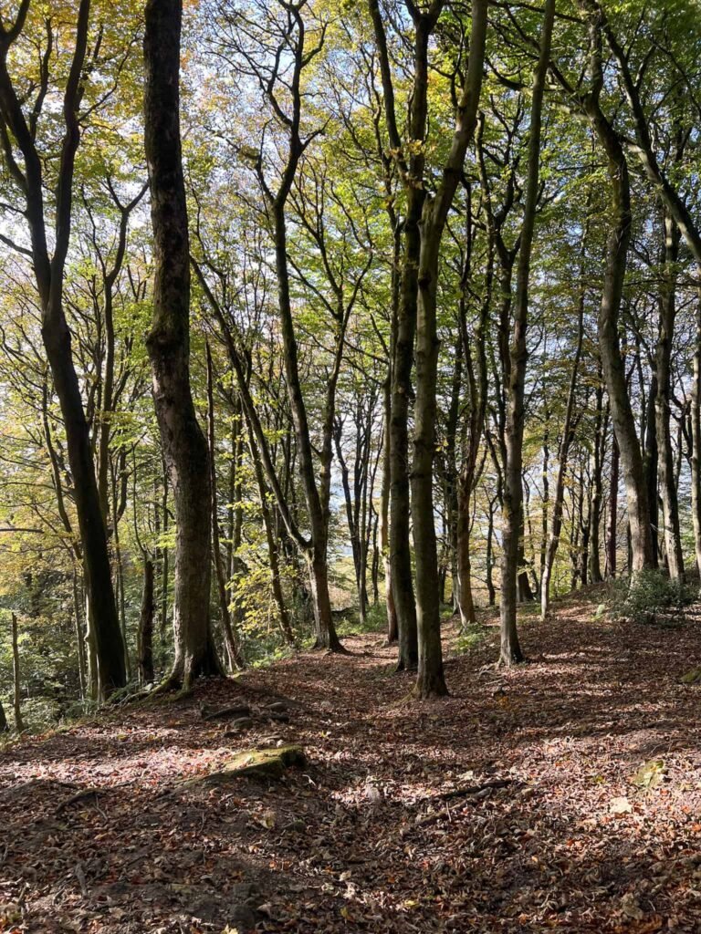
This walk starts from the car park opposite the Eyam Museum. We set off up Hawkhill Road and at the fork continued onto the Nook, heading into the woods. The path climbs up through the woodland, and then we took the public footpath off to the left which runs slightly downhill into more woodland.
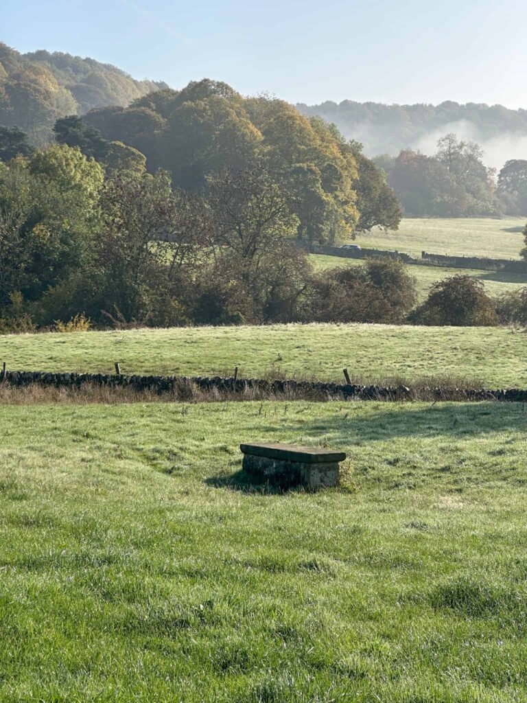
The route heads south, passing through some fields, before passing Highcliffe Mine and onwards, past one of the boundary stones where food and goods were left for villagers during the plague.
The footpath ends and runs down into the village, passing Richard Furness’ House and Merrill Cottage. Andrew Merrill survived the plague by going to the edge of Eyam Moor and building himself a crude hut to live in with his pet cockerel. One day, Andrew noticed the cockerel had disappeared. He searched for it and found it back in the village, which he took as a sign that the plague had ended and it was safe to return home.
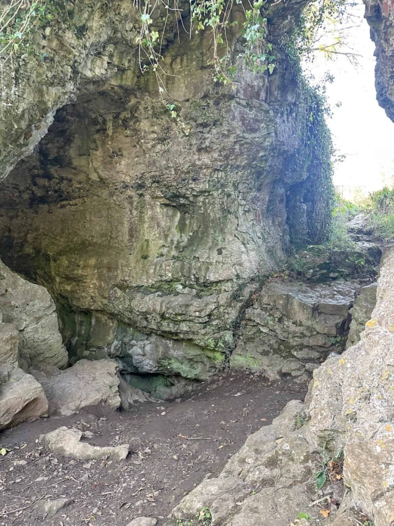
We walked further into the village to Eyam Hall car park, and followed a path past some houses. A grassed track runs towards Cucklet Delph, also known as Cucklet Church, which is a natural limestone cave in Eyam Delph, a gorge near the village. During the plague, Reverend William Mompesson held open-air services here to prevent congregation in enclosed spaces, reducing the risk of spreading the disease. The cavern served as a pulpit, with villagers standing in the surrounding valley. Today, an annual service is held at Cucklet Church to commemorate the villagers’ sacrifices during the quarantine.
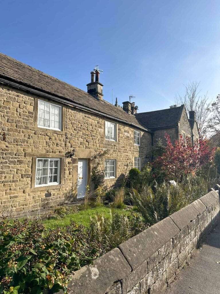
The route heads back on itself and back past Eyam Hall into the village, passing the cottages where some of the victims lived, including the first victim, George Vicars who died on 7 September 1665.
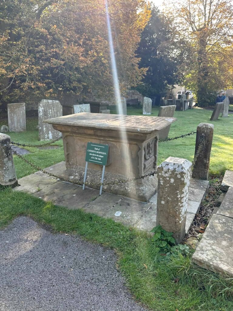
Passing the cottages, we went into the churchyard to visit the grave of Catherine Mompesson, the wife of the Reverend William Mompesson, the Vicar of Eyam, who convinced the villagers to isolate themselves. She died of the plague in 1666.
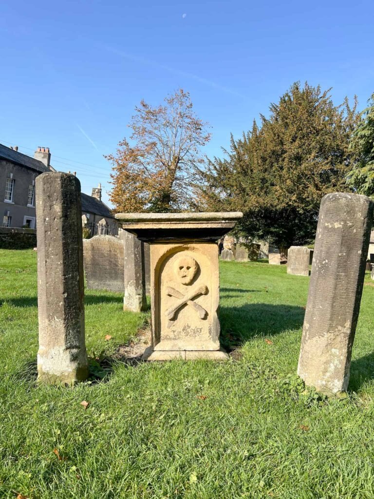
We also visited the skull and crossbones grave in Eyam churchyard.
We then followed the path towards the village green then went up Lydgate to the small graveyard containing the Lydgate Graves. These graves are those of George Darby and his daughter Mary who dies in 1666. Plague victims weren’t allowed to be buried in the churchyard and so people made small graveyards or buried their dead in their gardens.

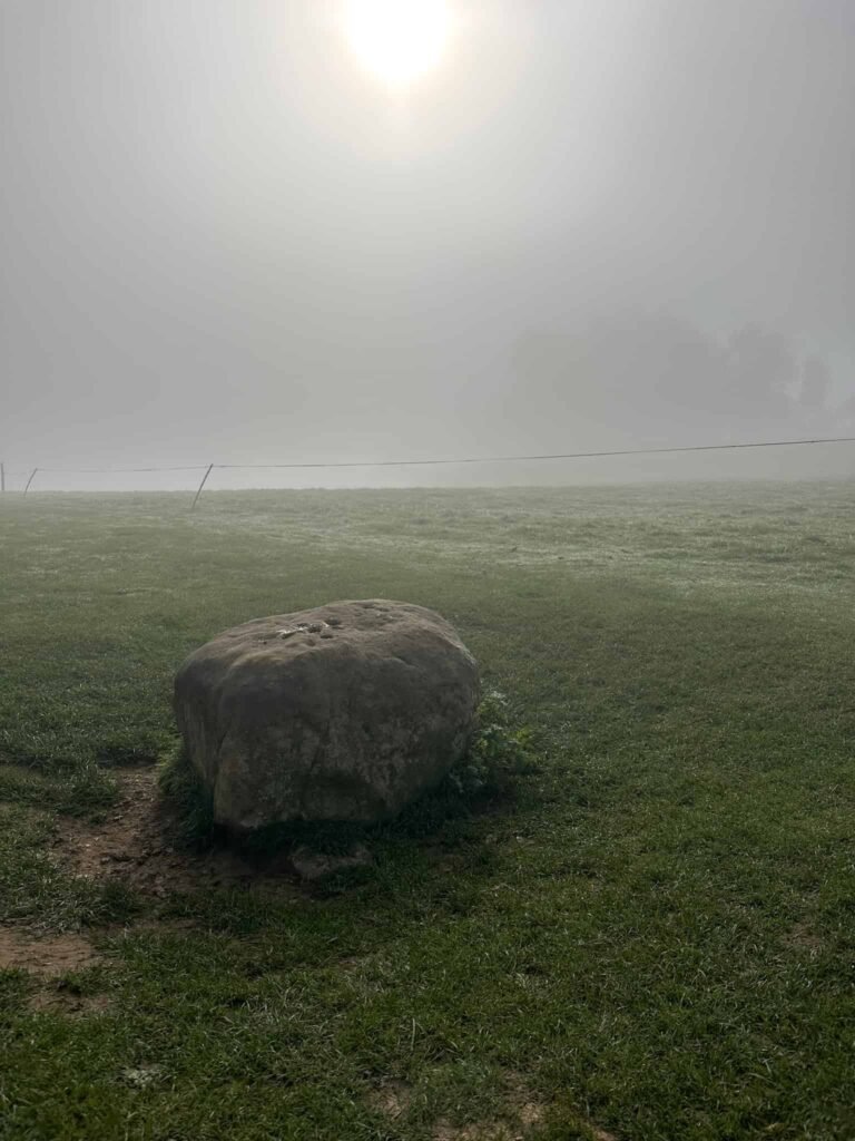
Lydgate leads to a track on which the famous Boundary Stone sits. This stone has holes on the top which were filled with vinegar which was thought to sterilise, and villagers would leave coins in the holes in return for food from neighbouring villages and Chatsworth House.
We followed the path to the edge of the village of Stoney Middleton, and after the signboard for the Stoney Middleton Heritage Trail we followed the road round to the left along The Fold. The route passes through some farmland and then into woodland, climbing up the hillside again. We turned right onto the road, passing a huge manor house on the right, before turning left up a track which again climbed up the hillside into woodland at Top Riley.
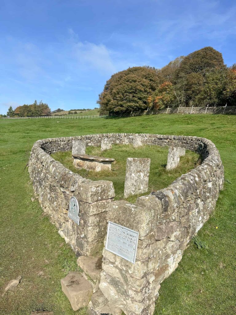
A short distance along the track there’s a hole in the wall giving access to the field containing the Riley Graves. a small teardrop-shaped graveyard. These are the graves of the Hancock family, where Elizabeth Hancock had to bury her husband and 6 of their children who all succumbed to the plague in the space of a week.
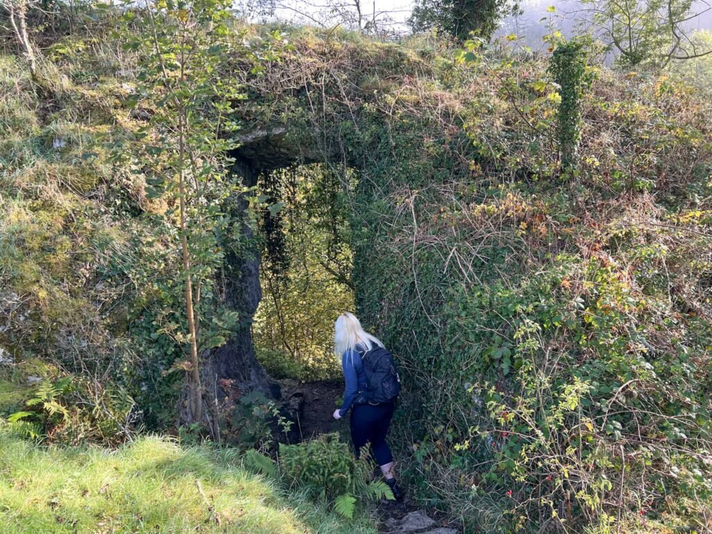
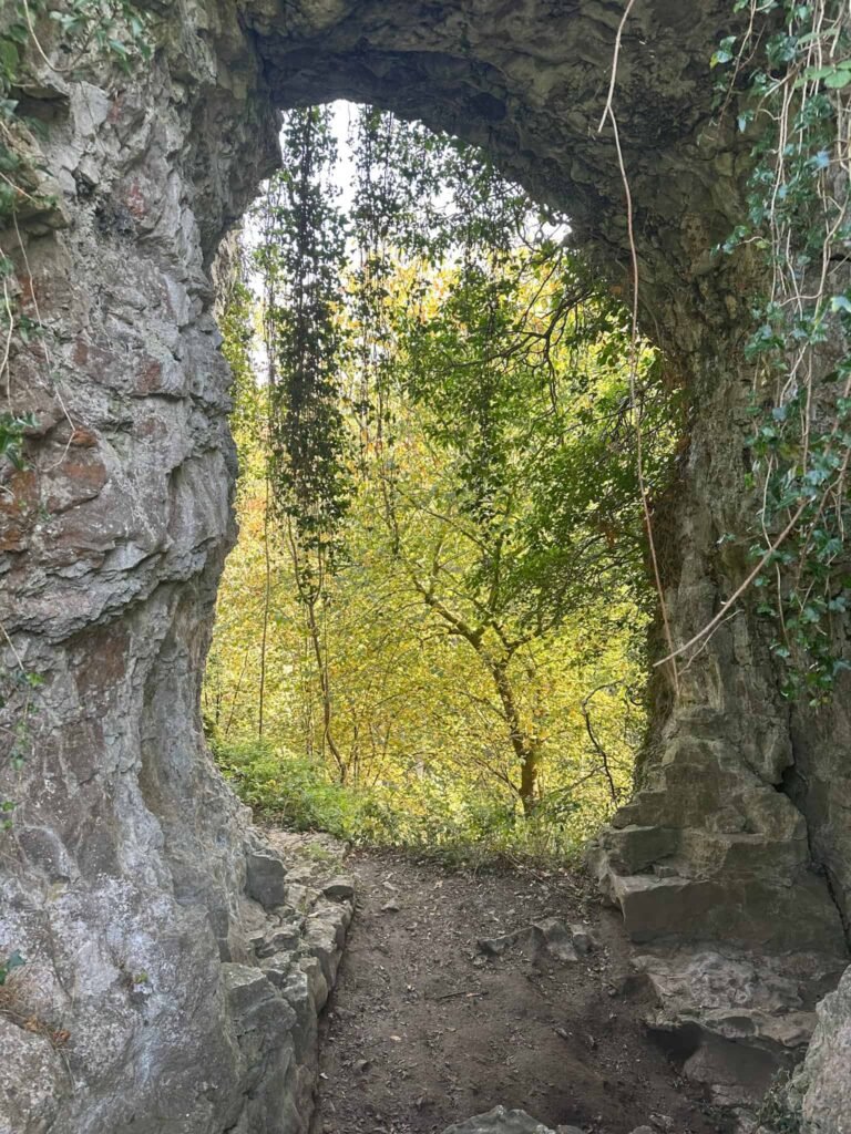
After visiting the Riley Graves we set out again on the road, heading up Riley Back Lane, climbing uphill again through Riley Wood. The path meets a road with a wooden signpost pointing to Mompessons Well. We followed the road, ignored the road junction to explore Mompessons Well. This site was used as a drop off point for food from neighbouring villages, and was named after the Reverend Mompesson.

From the well we turned back to the road junction, passing Well Cottage, and then headed over the fields back down the hill, through woodland, and back into Eyam.
This Eyam Plague Trail is a walk packed with history, and the tragic tales of the villagers who lost their lives in the Eyam Plague.
Eyam Plague Trail Walk Details:
Walk Map (Opens in OS Maps): Eyam Plague Trail Walk Map
Parking: We parked at the free car park in Eyam, Hawkhill Road, Derbyshire, Eyam, S32 5QP W3W:///trick.mole.emporium. This was free. There is also pay and display parking just down from the free car park.
Dogs: Allowed but the route passes through farmland so they must be on leads around livestock.
Facilities: There is a free toilet in the car park (the round building).
Walk Time: 3-4 hours!
Difficulty: ▲▲
Distance: 6.6 miles (10.6km)
Elevation: 1475ft (449m)
Trig Points Bagged: None – the walk passes very close to Sir William Hill though.
Peak District Peaks Bagged: None
Peak District Ethels Bagged: None