Ladybower Walk | 6 Miles
This Ladybower walk offers stunning views with minimal effort – using the well made paths and trails that run around Ladybower Reservoir, this route doesn’t have steep climbs and there are no stiles, making it a really accessible loop in the Upper Derwent Valley. This route comes in just under 6 miles.
The route starts from Fairholmes, where there are lots of car parking spaces available (pay and display) as well as a cafe and toilets. If the main visitors centre car park is full there are small laybys and parking areas on the approach – please don’t park on grass verges or where there are double yellow lines, as you’re likely to get a ticket.
From the car park, we headed back onto the road and turned left, picking up a footpath that runs down through the woodland. You can just walk along the road, but I think it’s nicer to walk nearer the water and away from the cars!

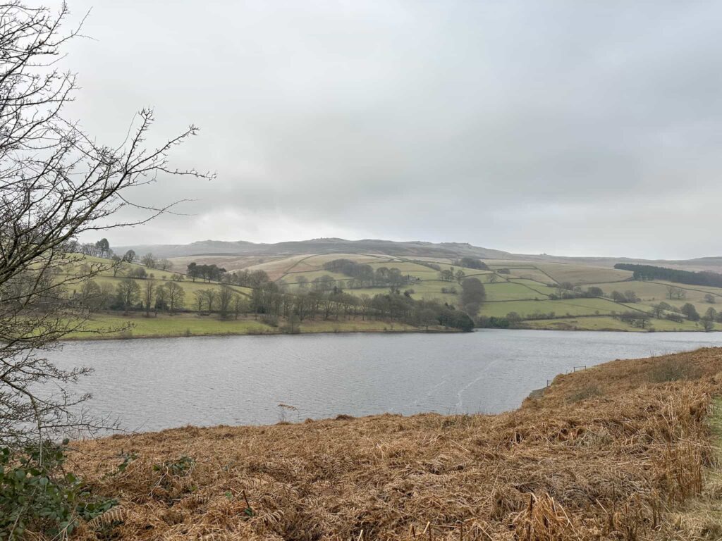
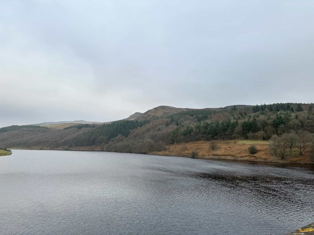
Keeping the reservoir on your left, the route gently undulates through the woods before the aspect opens up and you can see the amazing views over to Derwent Edge on the left and Bamford Edge straight ahead.
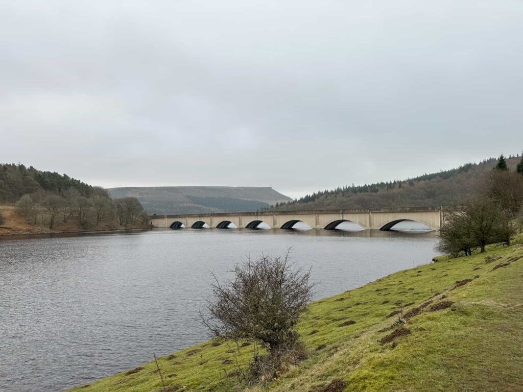
Passing the pump house, you’ll see the striking Ashopton viaduct which was built in the 1940s. Beneath the waters of Ladybower lie the remains of the drowned village of Ashopton which once stood at the base of the viaduct. The buildings were demolished and the residents moved into new houses nearby when the reservoir was constructed.

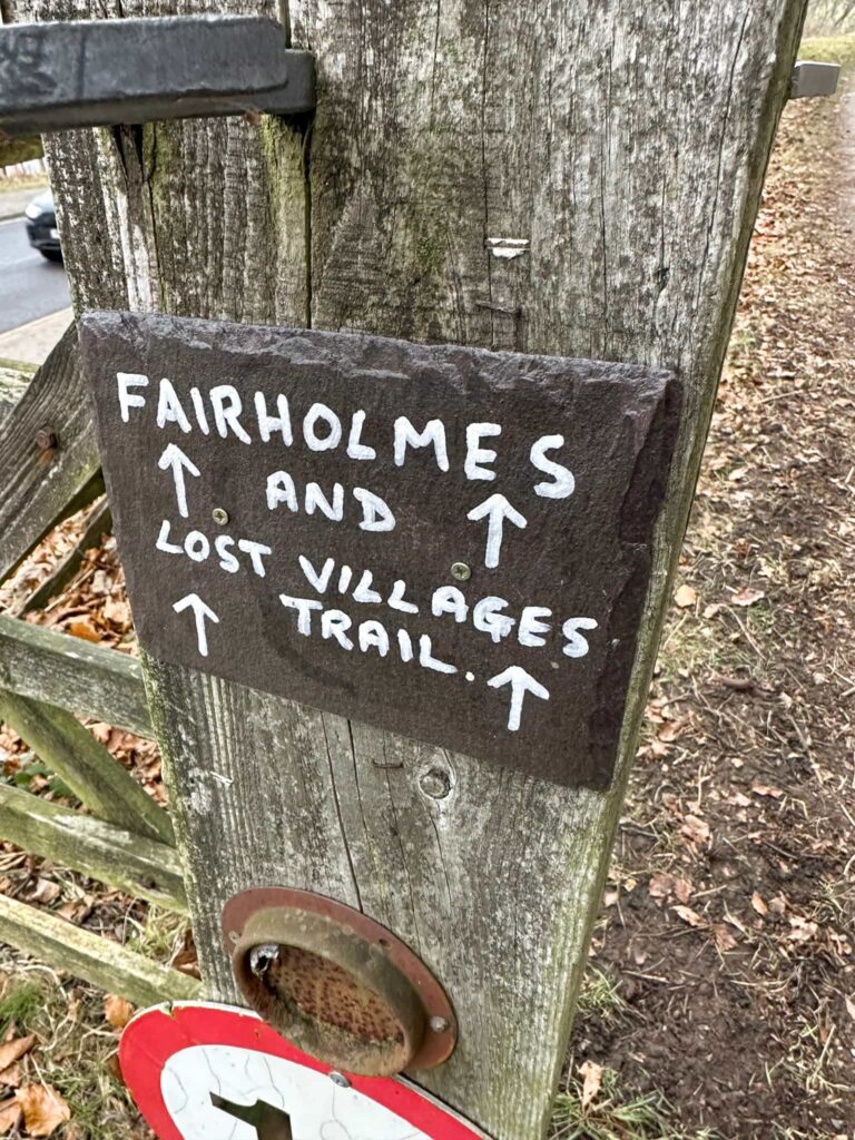
Pass through a wooden gate and cross the viaduct. On the other side of the viaduct, look out for a track which heads off to the left. There is a large gate and a small sign for Fairholmes and Lost Villages Trail on a gatepost. Although the road is a private road, there is a public footpath which runs this way.

The route gently undulates, following the road through the woods. After around 1.5 miles, you’ll come to a collection of buildings which are the remnants of the village of Derwent, which was also submerged when the reservoir was constructed. In a very dry summer, when the water levels of the reservoir get low, it’s possible to see the remains of some of the older buildings including the church and Derwent Hall, a once grand country house.
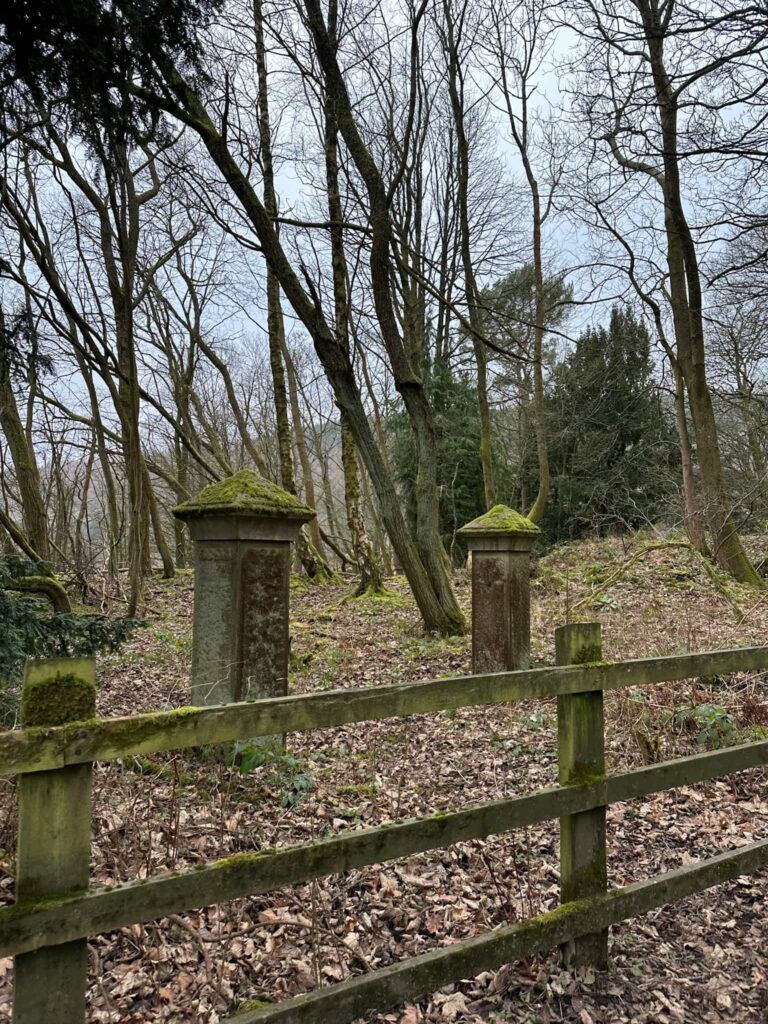
You’ll also pass the gateposts which is all that remains of the vicarage.

The road continues along until there’s a fork – take the left hand fork and continue to pass the iconic Derwent Dam, made famous by the 617 Squadron (aka the Dambusters) who used Derwent and Howden Reservoirs as a practice ground. The dam is spectacular when it overflows, usually in Autumn and Winter after a prolonged wet period.
Take the footpath leading down to the left, and you’ll be back at the car park.
This walk is perfect for families, and you could also cycle it.
Ladybower Reservoir Walk Route Map:

Walk Map (Opens in OS Maps): Ladybower Walk
Parking: Fairholmes, Bamford, Hope Valley S33 0AQ – pay and display. W3W:///sandpaper.unhappily.palace
Facilities: The visitors centre has toilets and a cafe.
Walk Time: 2-3 hours
Difficulty: ▲
Distance: 5.6 miles (9km)
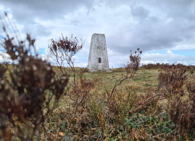
Trig Points Bagged: None
Peak District Peaks Bagged: None
Peak District Ethels Bagged: None
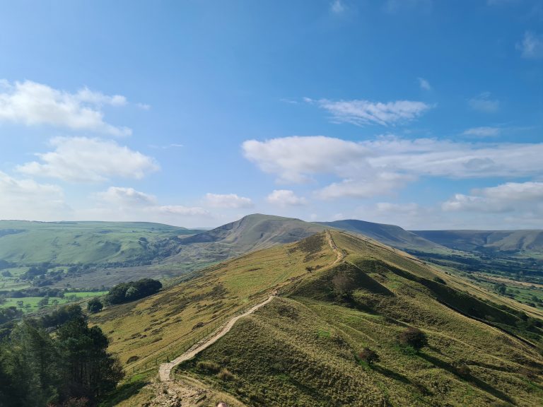
For some longer walks from Fairholmes which head up onto the moors above Ladybower, you might like:
Lost Lad and Back Tor with Abbey Brook | 10 Miles
Alport Castles and Westend Moor Trig Point | 12 Miles