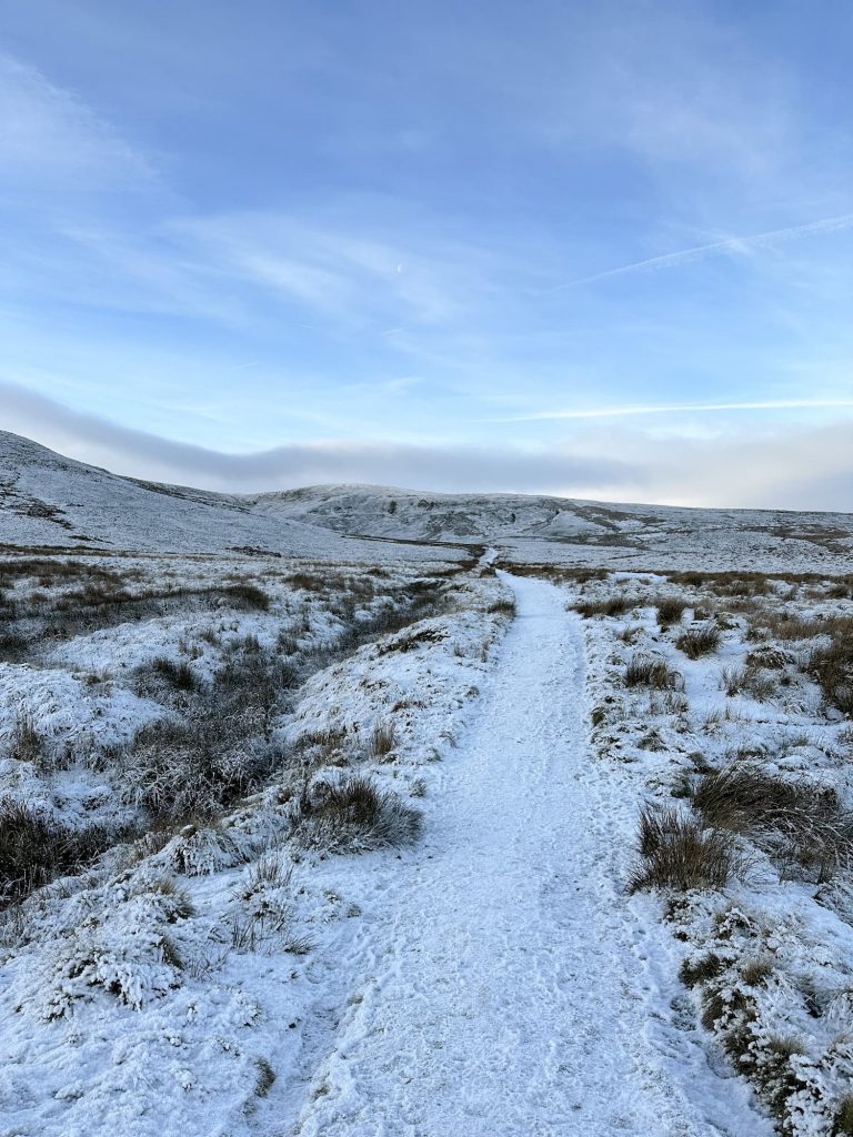
Burbage Moors, Ox Stones and Wellington Bomber | 6 Miles
This 6 mile walk explores the Burbage Moors, including the WW2 Starfish Decoy site off Houndkirk Road, the Ox Stones trig point and the wreck of the Vickers Armstrong Wellington MK 1C Z8980 which crashed near Rud Hill on 17 July 1942.
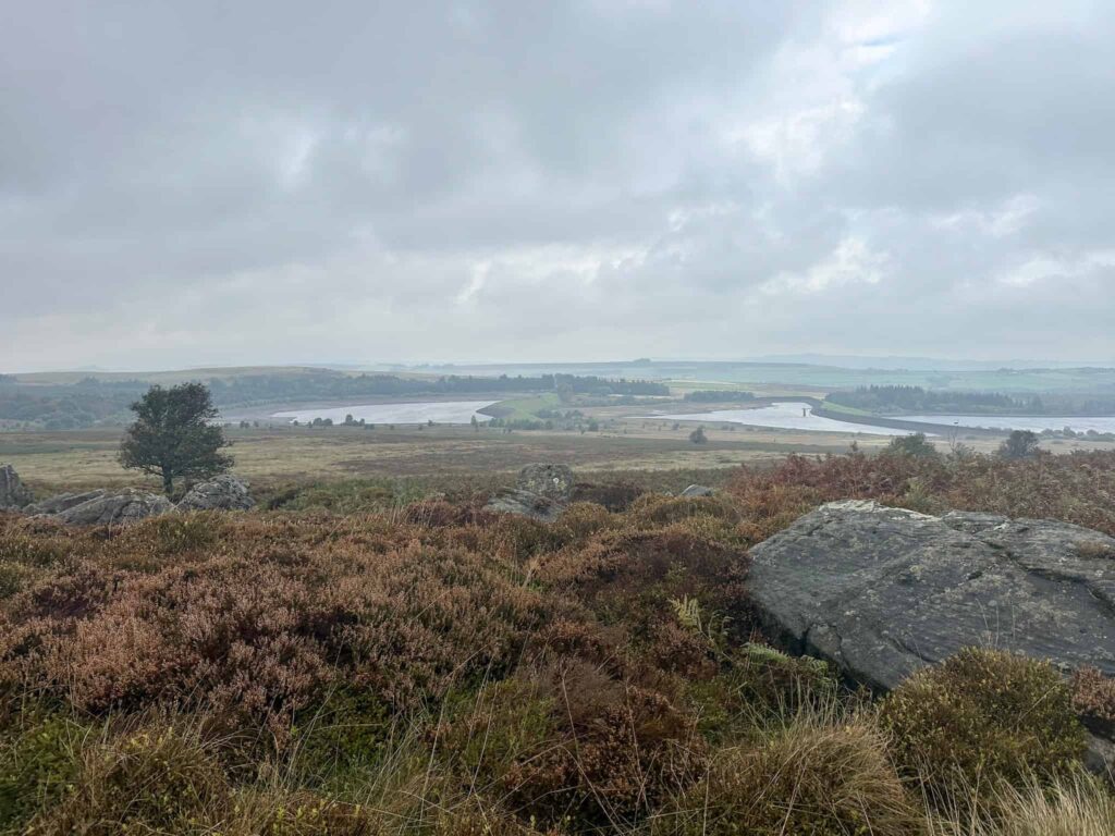
This walk involves a large section of off path walking to the plane crash site, over very rough ground with no visible paths. It’s a walk for experienced walkers who don’t mind veering off path.
Walk Overview
- Distance: 6 miles with varied terrain throughout
- Starting point: Upper Burbage Bridge
- Parking: Upper Burbage Bridge car park – pay and display
- Terrain: A mix of moorland paths, good tracks and a section of rough, off path walking through boggy tussocks.
- Difficulty: Moderate/challenging due to the terrain, suitable for experienced walkers with a reasonable level of fitness
- Points of interest: WW2 Starfish Decoy Site near Houndkirk Road, Ox Stones trig point, wreck of the Wellington Bomber
Route Highlights
- Upper Burbage Bridge, a classic starting point with panoramic moorland views right from the off
- The Houndkirk Decoy site on Houndkirk Road, a WW2 “Starfish” site built in 1940 to lure German bombers away from Sheffield with decoy fires, one of many such sites protecting British cities during the Blitz
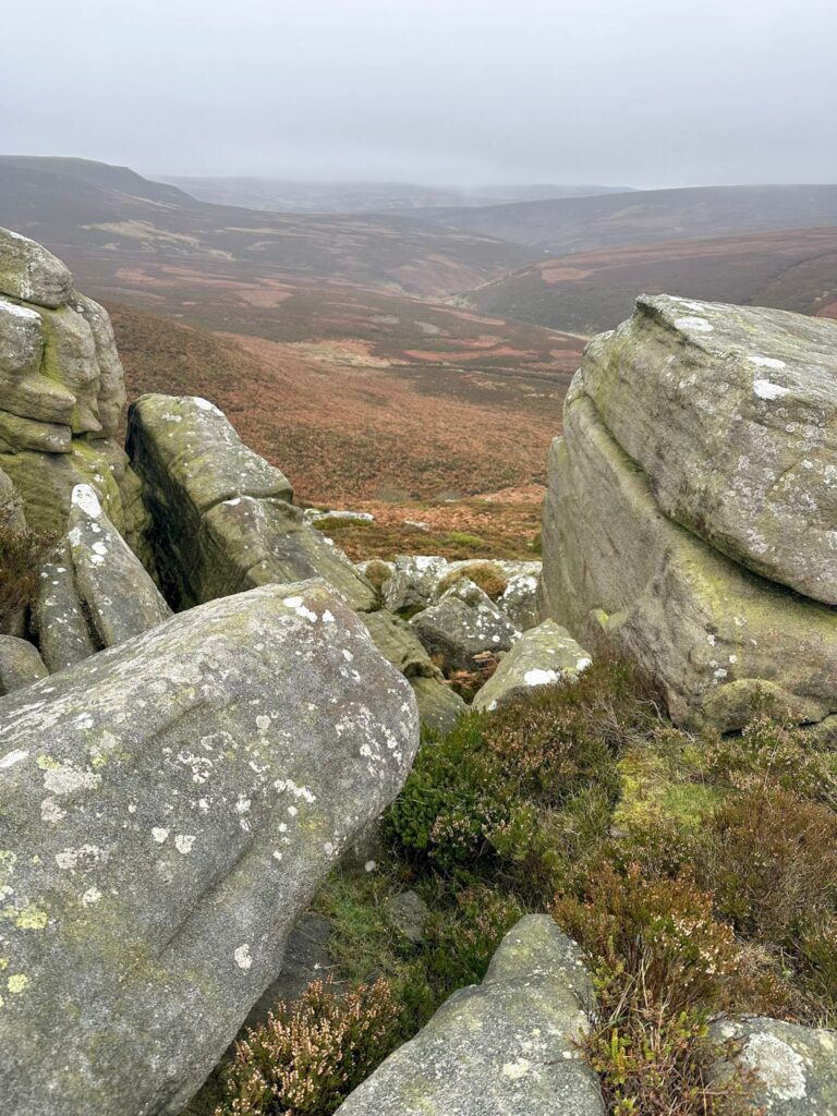
- Ox Stones trig point, a distinctive gritstone outcrop and summit marker with far-reaching views across the moors
- An off-path detour to Rud Hill, where the wreckage of Wellington bomber Z8980 still lies, having crashed here in July 1942 during a night training flight, remarkably with no loss of life among the five-man crew
- A real mix of open moorland and off-path exploration, giving the walk a genuine sense of discovery alongside its wartime history
The walk starts from Upper Burbage Bridge car park. We went through the gate and turned left, crossing the stream by the large stepping stones. Passing the information board, we took the top path which runs along the top of Burbage Rocks. From here there are amazing views over the valley and across to Higger Tor and Carl Wark, the Iron Age hill fort.
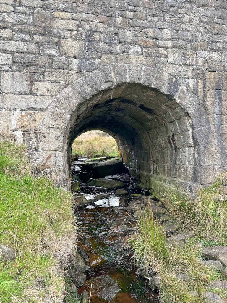
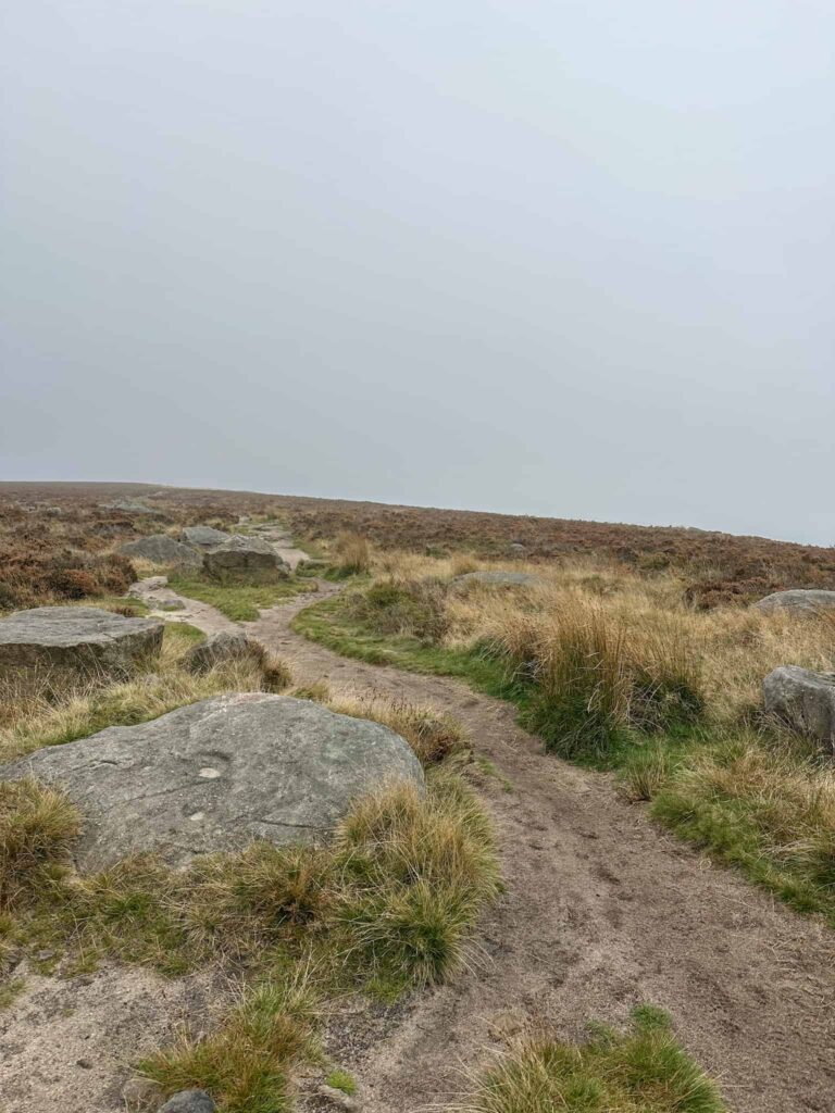
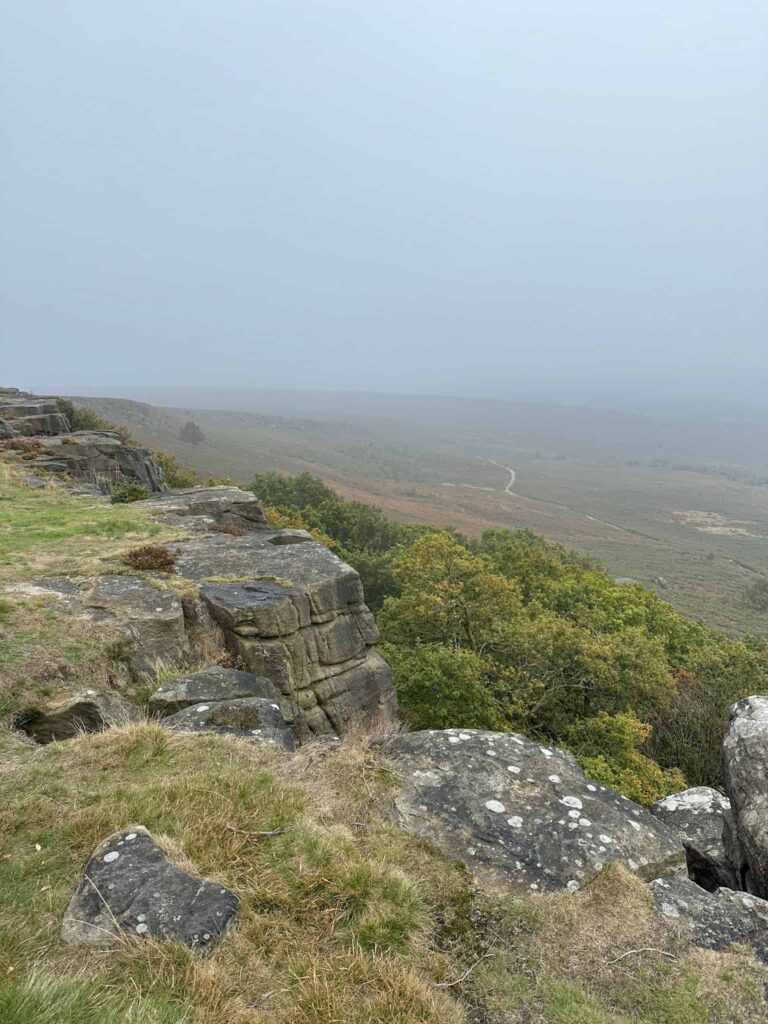
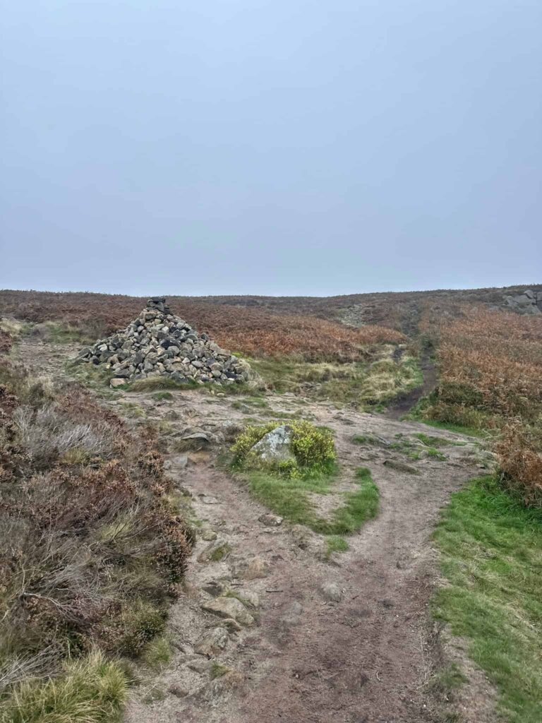
After around 1.3 miles, we reached a large cairn and turned left, following the moorland track over to Houndkirk Road. Houndkirk Road started life as an ancient drovers’ route, before being improved and turnpiked in 1758 as part of the Sheffield to Hathersage and Buxton road. It was eventually abandoned when the lower, less exposed Dore Turnpike (now the A625) opened in 1812, after which it faded into a quiet moorland track. Houndkirk Road is now a popular destination for off road vehicles, and it can get busy with 4x4s and motorbikes – not all of them drive safely, so keep your wits about you.
We joined Houndkirk Road where the Starfish Decoy site was built in 1940. Ditches, fire baskets and lights were laid out across the moor to simulate Sheffield’s streets and steelworks to dupe the German bombers. Little remains on site now, other than a couple of walls hidden in the heather, but the decoys seemed to work with plenty of bomb craters nearby.
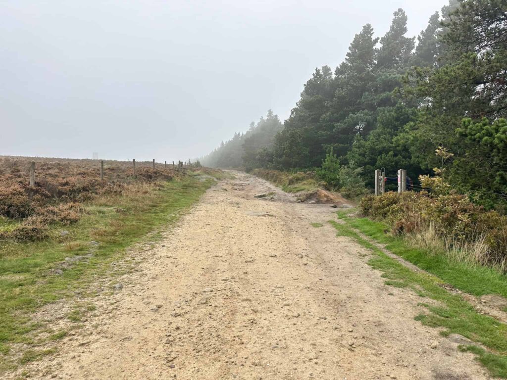
We followed Houndkirk Road north-east, passing an old milestone, and then picked up a track on the left which runs alongside Lady Cannings Plantation.
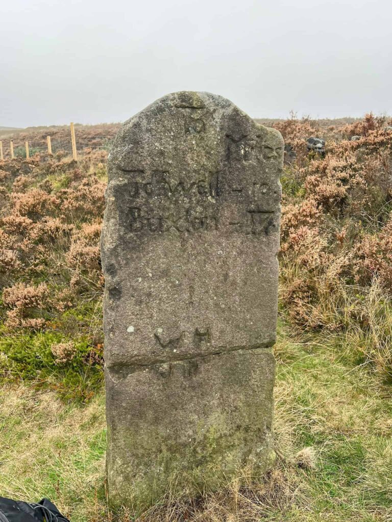
: Sheffield – (6) : : To / Miles / Tidewell 10 / Buxton 17 :
Here’s an older photo of the milestone on Houndkirk Road.
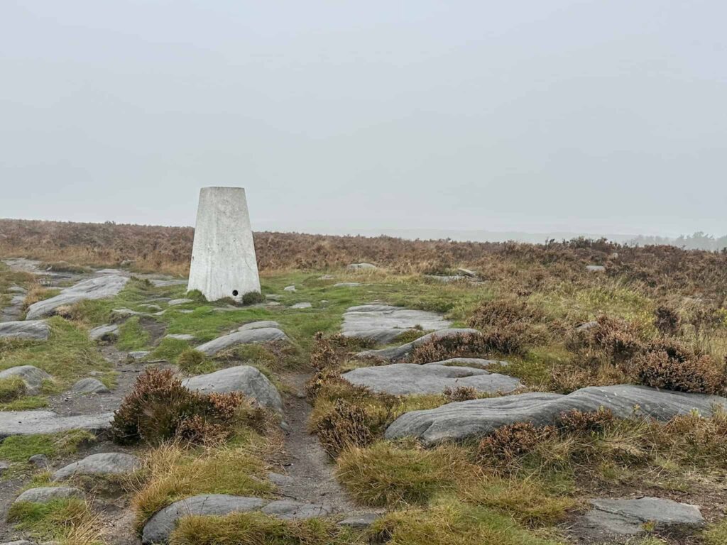
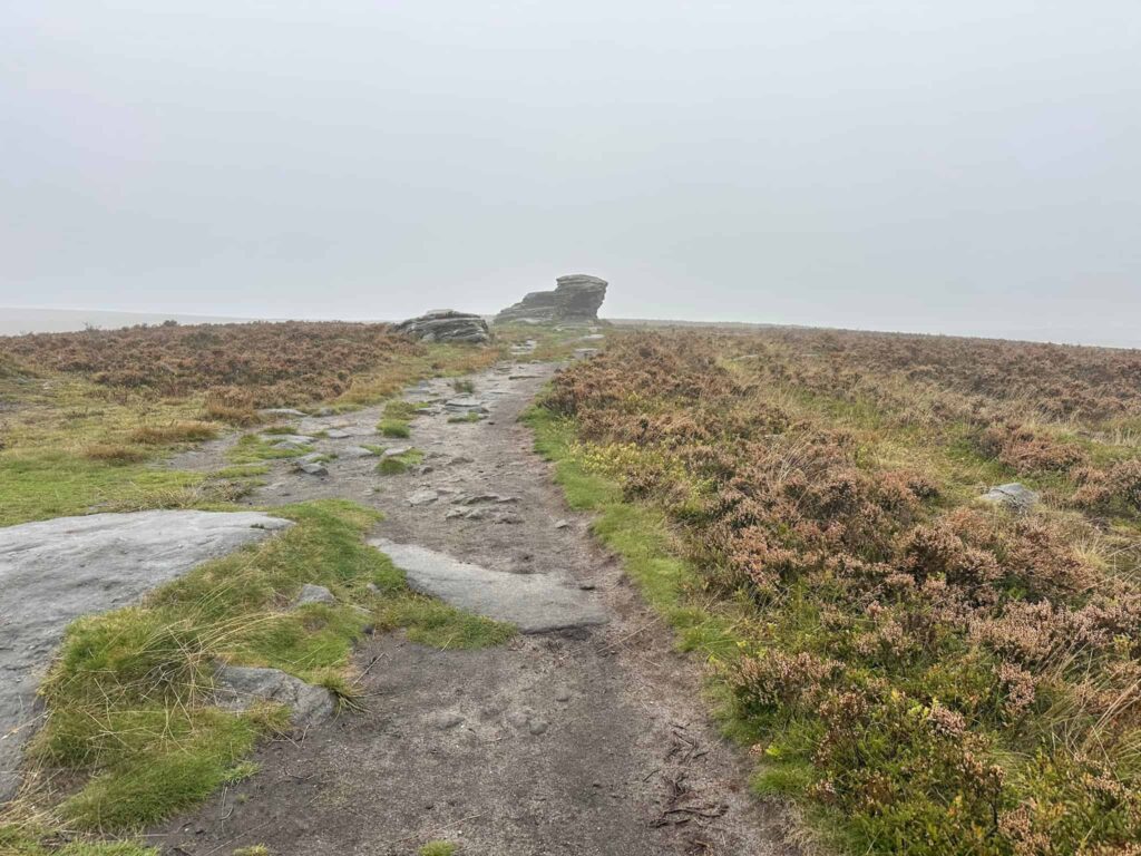
There’s a gate which leads onto the moor, and we headed through this to reach the Ox Stones trig point at 419m, and the Ox Stones, a gritstone outcrop. We then picked up the path running north and followed this to the road.
Crossing the road, the route heads through the former Brown Edge Quarries, which were once the source of sandstone roofing tiles but closed in 1873. We then walked up to a stone shelter, then continued along a moorland path. On the horizon you can see the Redmires Reservoirs.
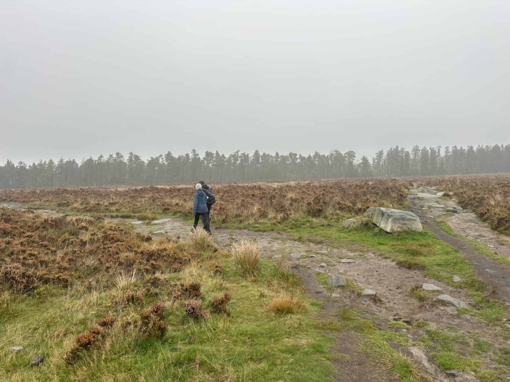
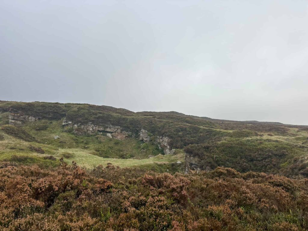
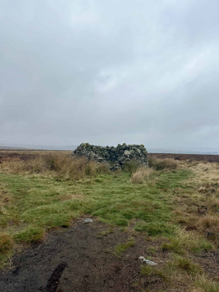
There is a faint path running west to White Stones, a collection of gritstone rocks on the moor. From here, the terrain gets really rough, being full of molinia tussocks which are really hard to walk through. It took us a long time to reach the site of the Wellington bomber!
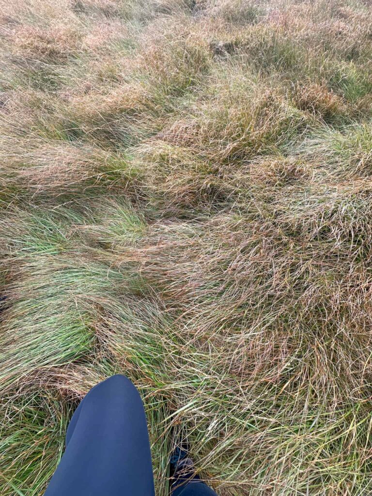
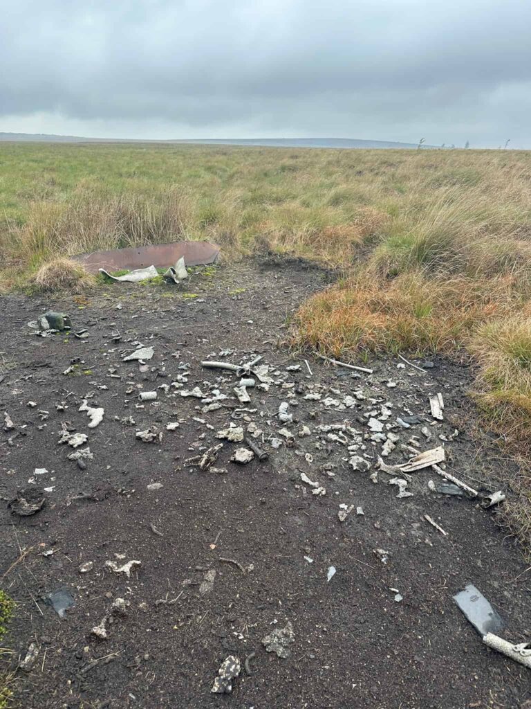
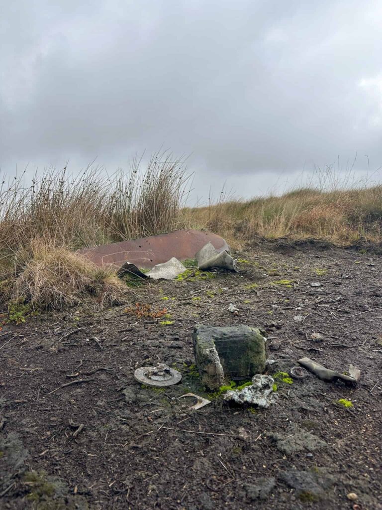
The Vickers Armstrong Wellington MK 1C Z8980 crashed on 17 July 1942 on a night training exercise. They mistook their position and flew into Burbage Moor. The plane caught fire but the crew were rescued by a nearby Home Guard unit who were able to pull them all free, so they survived with a variety of different injuries. Little remains of the plane itself bar a patch of burnt ground with some molten metal fragments.
Vickers Armstrong Wellington MK 1C Z8980 Grid Reference: SK26149 83798
We continued south from the plane wreck over the rough ground to reach the road, and crossed this back to the car park.
Walk Map (Opens in OS Maps): Redmires, Stanage Edge and Spooky House Walk
Parking: Upper Burbage Bridge car park, Upper Burbage Bridge, Ringinglow Road, Hathersage S32 1BR. W3W:///congratulations.exit.mole. It’s a small car park which fills up fast on busy days so get there early for a space, and it’s pay and display (cash or app).
Facilities: None – there is sometimes a coffee van in the car park. Please take all your rubbish home with you.
Dogs: The walk uses Open Access Land, so by law dogs should be on leads between 1 March and 31 July to protect ground nesting birds.
Walk Time: 4-5 hours
Difficulty: ▲▲
Distance: 5.7 miles (9.1km)
Elevation: 625 ft (191m)
Trig Points Bagged: Ox Stones
Peak District Ethels Bagged: None
You might also like: