Wren Crag and High Rigg | 5 Miles
If you’re looking for a Lake District walk that doesn’t have a huge climb but still has spectacular views, and ticks off a Wainwright, this could be the one! This 5 mile route climbs up Wren Crag and then onto High Rigg, one of the smaller Wainwrights, which has stunning views over the surrounding fells.
Wren Crag and High Rigg Walk Overview
- Distance – 5 miles
- Difficulty – Moderate
- Route Type – Circular
- Start Point – Legburthwaite Car Park
- Terrain – Rocky paths, moorland and a well made path
- Facilities – Low Bridge End Tea Garden may be open, public toilets in the car park
Key Landmarks on the Walk
This Wren Crag and High Rigg walk includes:
- Wren Crag, a Birkett with a summit height of 311m
- High Rigg, a Marilyn and Wainwright with a summit height of 357m
- St Johns in the Vale Church
- Low Bridge End Farm Tea Garden
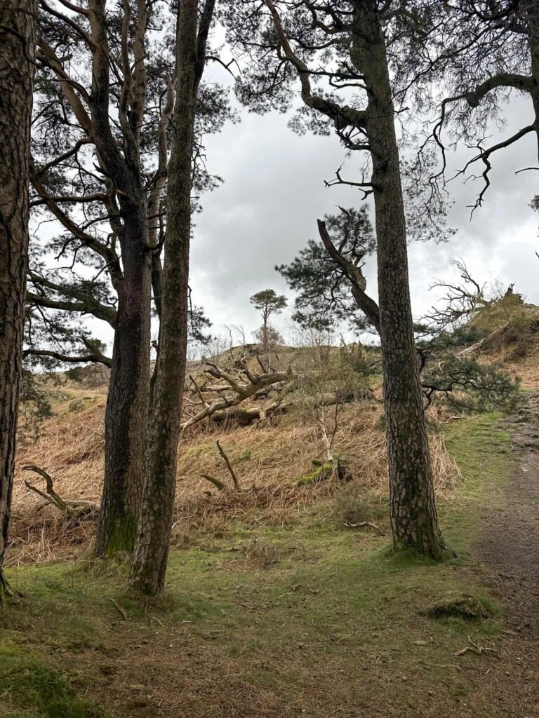
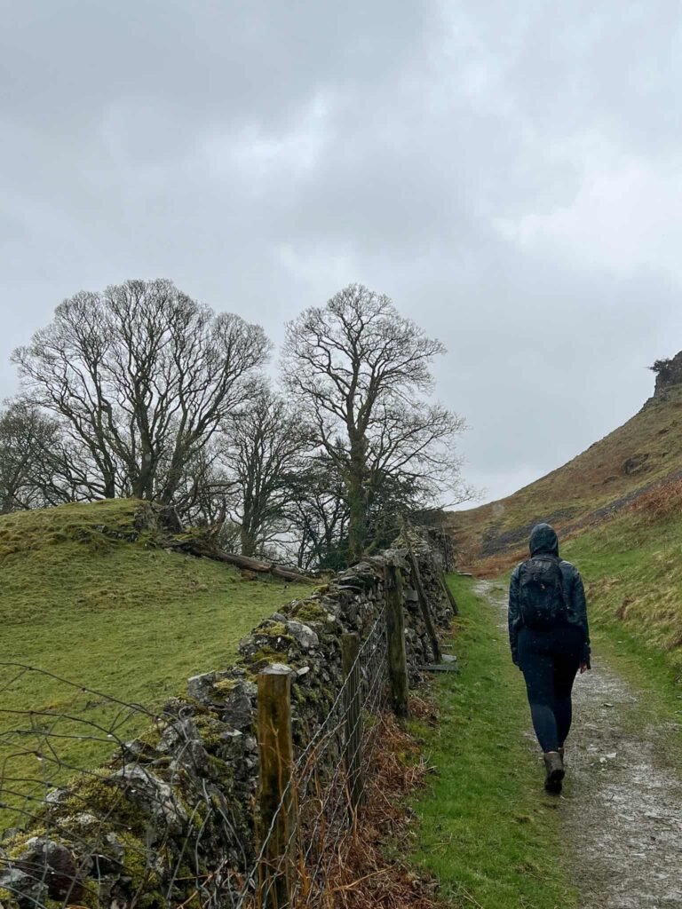
This walk starts from the United Utilities car park at Legburthwaite. We left the car park via the small wooden gate onto a track and walked left, heading out onto the A591. Turning right, we walked a short distance to a wooden ladder stile which has definitely seen better days (and I wasn’t going to chance climbing it!). Through the gate next to the stile, we climbed up through pine woodland, following a rough path, to the summit of Wren Crag.
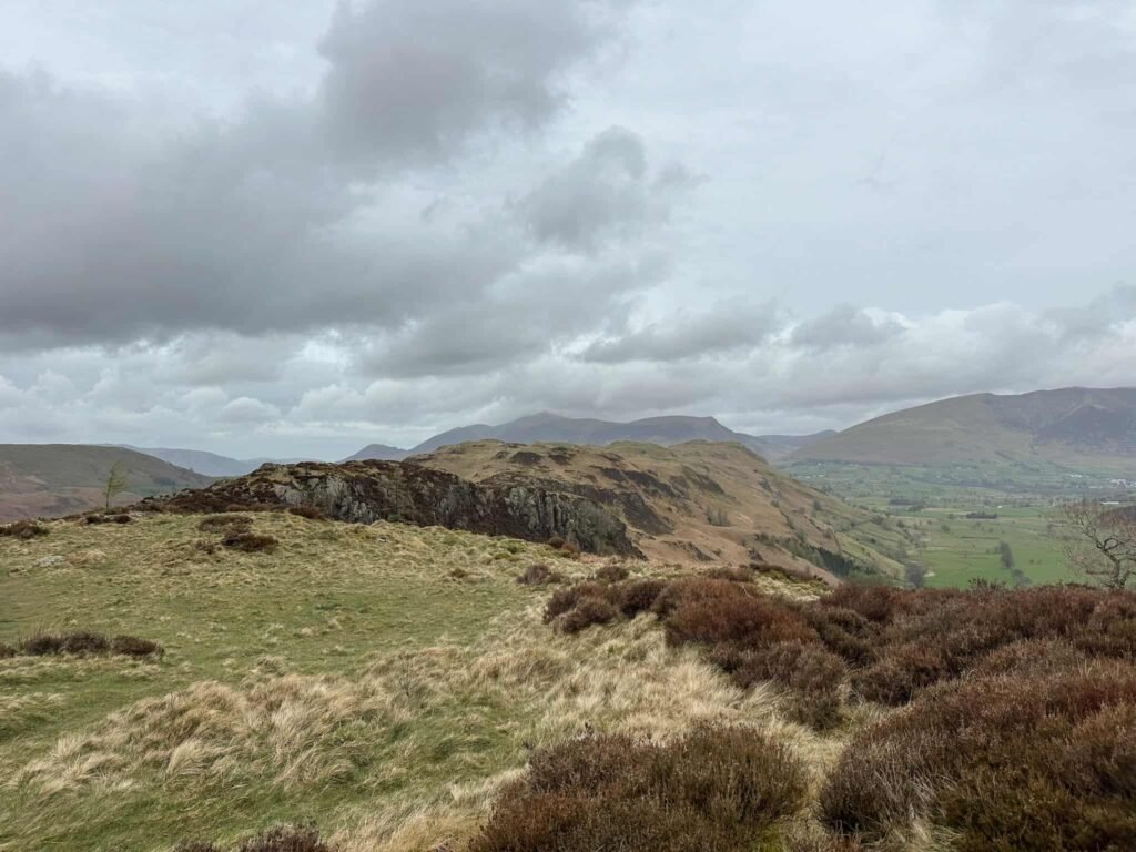
We walked down the other side, through the gap in the wall, and walked along the ridge of Long Band. The path drops down and then rises again to a fence with a stile, which we crossed and then turned right, to a wall with a ladder stile.
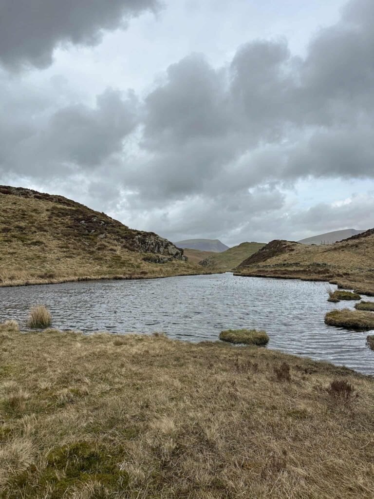
Over this stile, we skirted a small tarn (you could climb up and over the rocky outcrop to the left of this if you prefer) and then crossed a boggy patch of ground, leading down to a stile.
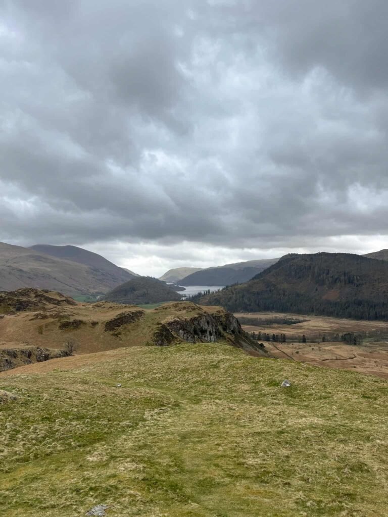
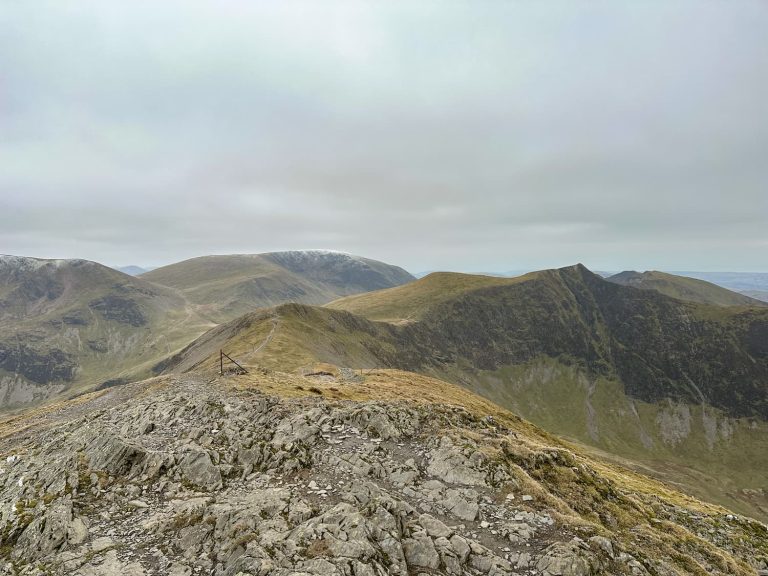
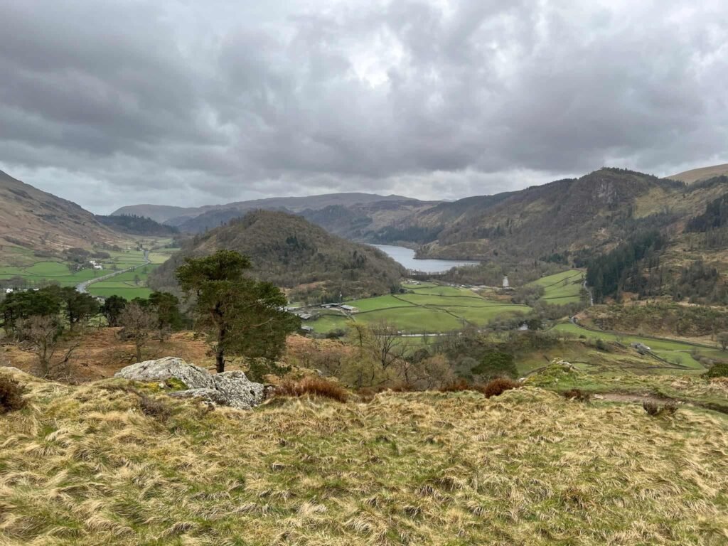
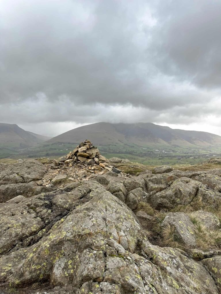
The path undulates and climbs gently to the High Rigg summit, marked by a small cairn and with stunning views over towards Blencathra and Skiddaw.
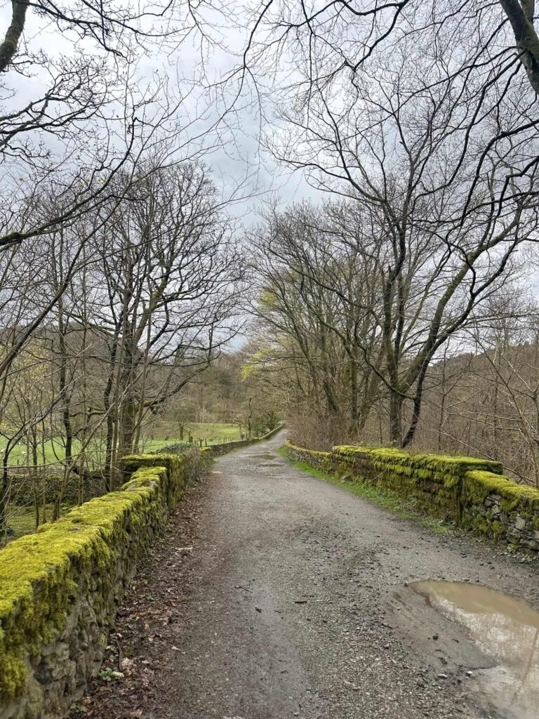
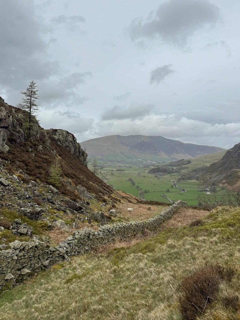
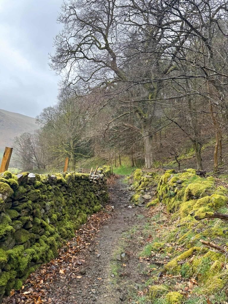
The route starts to descend, gently at first and then quite sharply to run behind the church of St Johns in the Vale. Passing behind this, we joined the lane and followed this past the graveyard. Just after the graveyard is a public bridleway sign, leading to a path running alongside the wall skirting the base of High Rigg and Wren Crag.
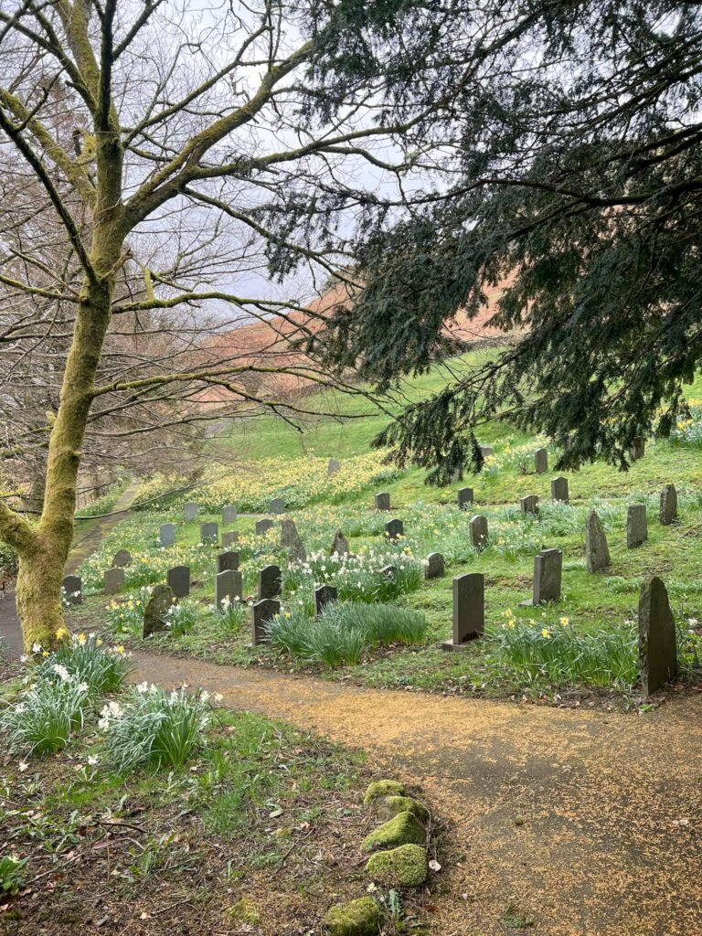
This route used to be a coffin route or corpse route, which people from surrounding villages would use to bring their dead to the church.
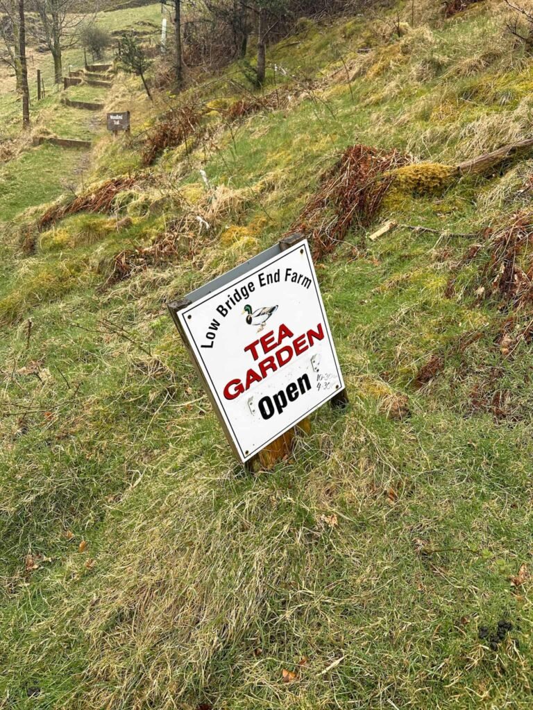
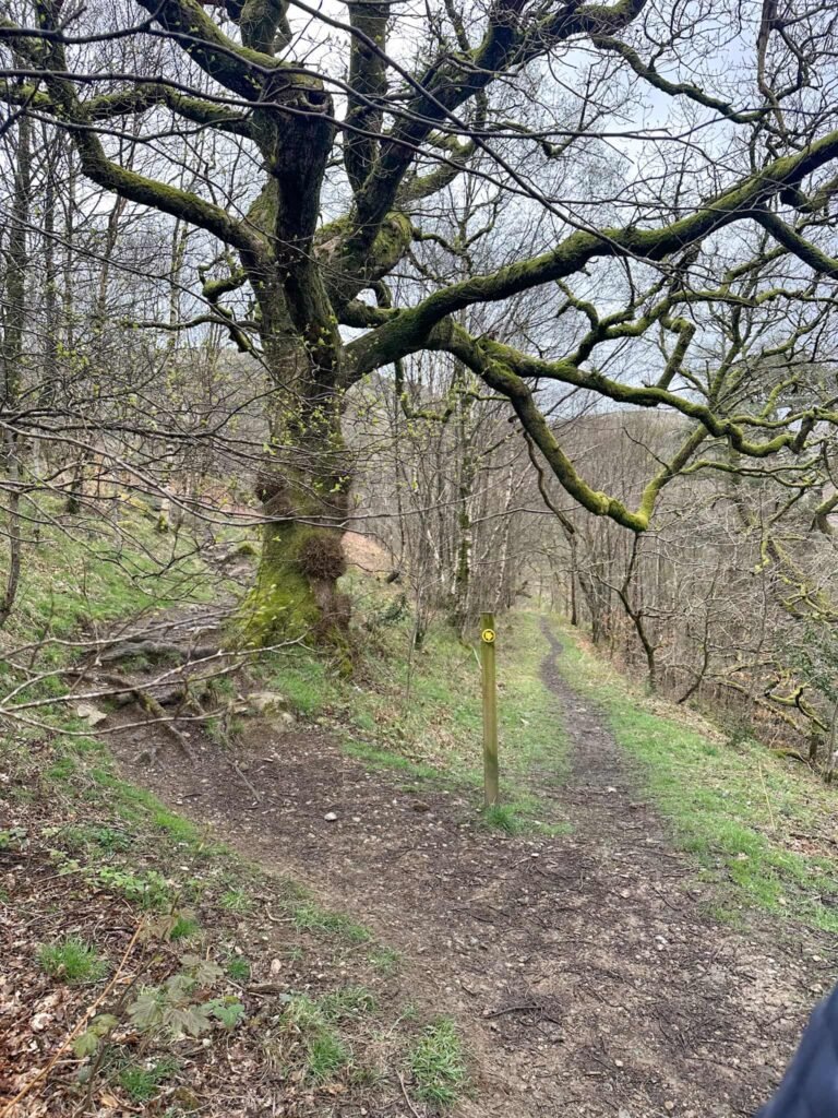
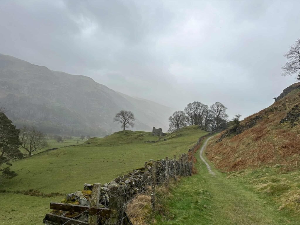
This path runs alongside the wall, passing Low Bridge End Farm Tea Gardens, and part of a woodland fairy trail with numbered toadstools along the way. The path heads into woodland and soon meets the beck, and then rises to climb up through the trees.
It brings you back to the ladder stile onto the main road, and we retraced our steps from here back to the car.
This was a great walk for a misty, murky day (or a day when the weather forecast says don’t go much higher!) and we managed to get most of the way round before the rain started properly.

Walk Map (Opens in OS Maps): Wren Crag and High Rigg Walk
Parking: Legburthwaite Car Park, Back Lane, St. John’s in the Vale, Keswick, Cumbria, CA12 4TW W3W:///decoder.carbon.bins.
Facilities: There are public toilets in the car park, and Low Bridge End Farm Tea Gardens might be open.
Walk Time: 2-3 hours
Difficulty: ▲▲
Distance: 5.15 miles (8.29km)
Trig Points Bagged: None
Wainwrights Bagged: High Rigg
You might also like: