Kinder Scout Plane Crash Sites: Anson NL185 and Harvard FT415 via Crowden Clough | 4.6 Miles
This short but demanding 4.6 mile circular from Barber Booth heads up Crowden Clough onto Kinder Scout before dropping back down in search of two Kinder Scout plane crash sites: Anson NL185 and Harvard FT415.
While short, this route is challenging and is best suited to those confident navigating in poor weather and who don’t mind an off-path yomp down a steep hillside.
Walk Overview
- Facilities – Coffee/ice creams available at Upper Booth Farm campsite, no toilets
- Distance – 4.6 miles
- Difficulty – Challenging
- Route type – Circular
- Start point – Barber Booth car park
- Terrain – Some road, steep rocky scramble, moorland paths which can get very boggy and are steep in places, steep pathless moorland
Highlights of the Walk
- Crowden Clough scramble – one of the best ways to go up Kinder Scout, involving hands-on scrambling over boulders and waterfalls
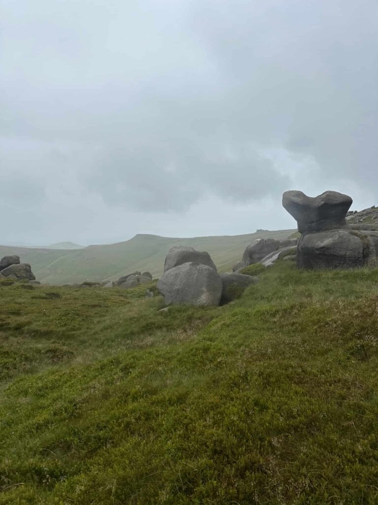
- The Woolpacks – a surreal collection of weathered gritstone tors on the southern edge of Kinder, eroded into weird and wonderful shapes by thousands of years of wind and weather – well worth exploring before heading off-path
- Harvard FT415 crash site – the Harvard came down to the west of the Woolpacks on 14th January 1952 killing pilot Midshipman Brian Farley who was on a cross-country flight from RAF Syerston to RAF Kemble. Remains including an undercarriage leg and other fragments can be found in a waterlogged peat pit.
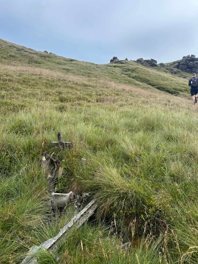
- Avro Anson NL185 crash site – panels and other fragments remain at the site near The Cloughs, with items often mistaken for parts of the nearby Harvard. The Anson was being flown by Wing Commander Richard Speare, a highly decorated pilot who had flown agents into occupied Europe during the war. He became lost in poor weather on 23 November 1945 and flew into Kinder Scout at low cloud, and was killed instantly. A small cross at the site marks his memory.
- Navigation challenge – the section across Kinder’s featureless peat moorland between the two Kinder Scout plane crash sites is tough going, and there are no paths.
Grid References:
Harvard FT415 grid reference: SK08895 86835
Anson NL185 grid reference: SK08903 86696 (debris pool) and SK08873 86570 (engine – we couldn’t find this though)
Kinder Scout Plane Crash Sites Walk
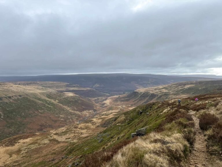
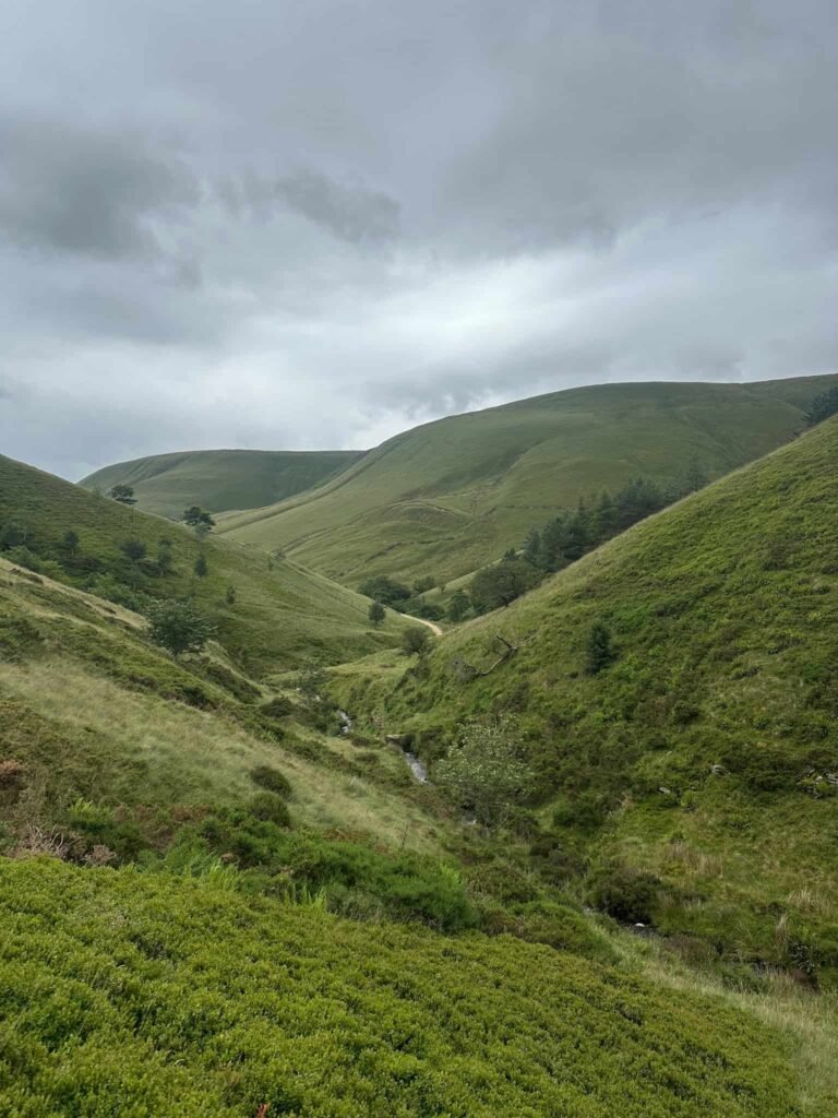
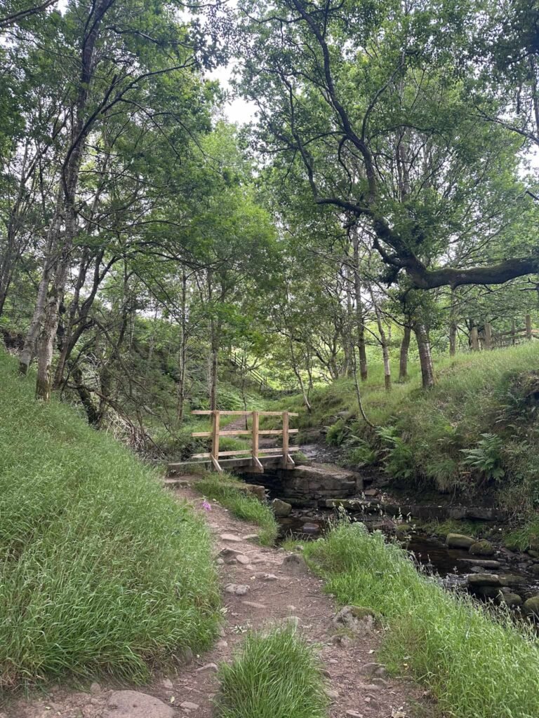
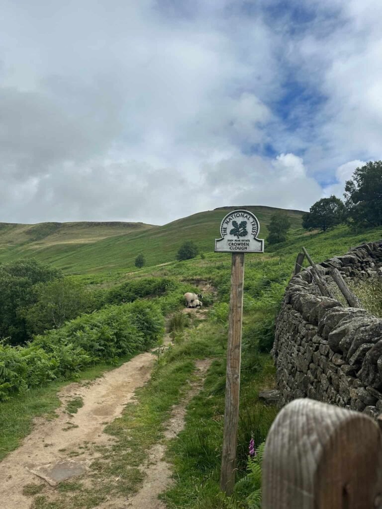
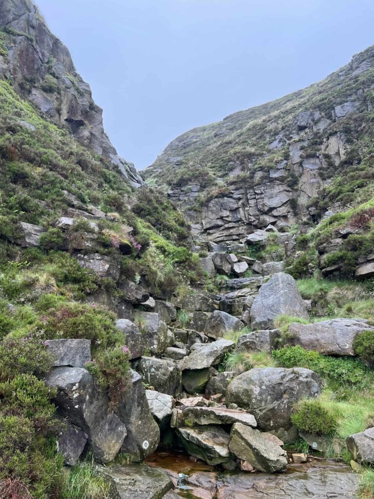
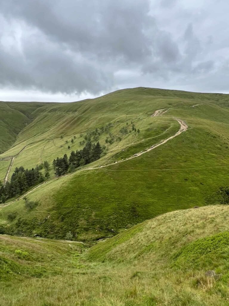
Our walk starts from the car park at Barber Booth and heads along the road to Upper Booth Farm Campsite. Passing the red telephone box at the entrance to the farm, we crossed the bridge over Crowden Brook and went through the small gate on the right, leading through some woodland. This path follows the brook, crosses a small wooden bridge and then reaches the Open Access Land, where there’s a National Trust sign for Crowden Brook.
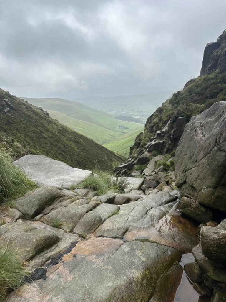
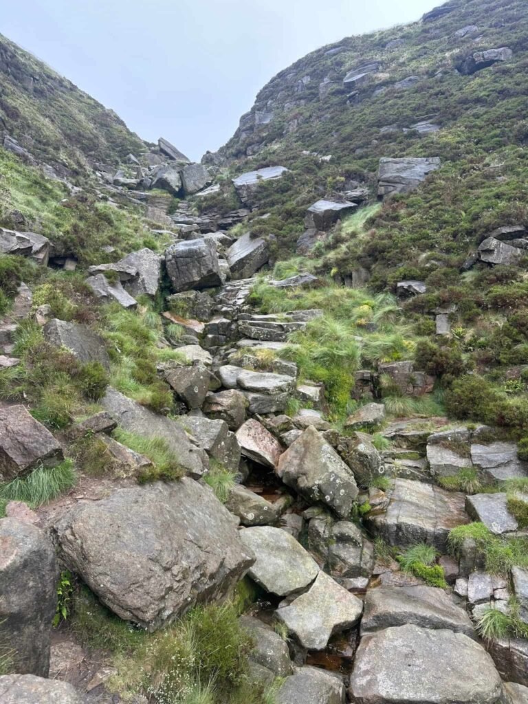
The route here climbs steadily over the rocky ground, which eventually gets steeper and more rocky and becomes a hands-on scramble.
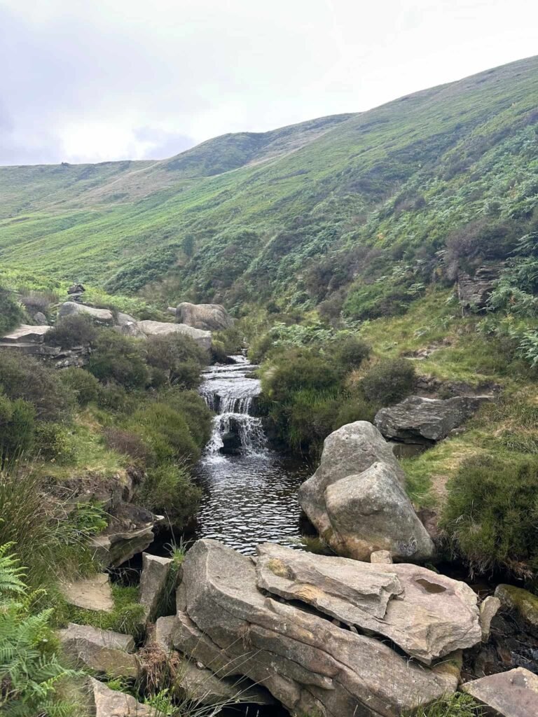
This is a Grade 1 scramble so should be doable for anyone with a good level of fitness but if you didn’t fancy it there is a path which runs to the right hand side of Crowden Clough. You can see more photos of the scramble on Crowden Clough Scramble | 7.5 Miles or Crowden Clough to Kinder Scout Walk | 8 Miles.
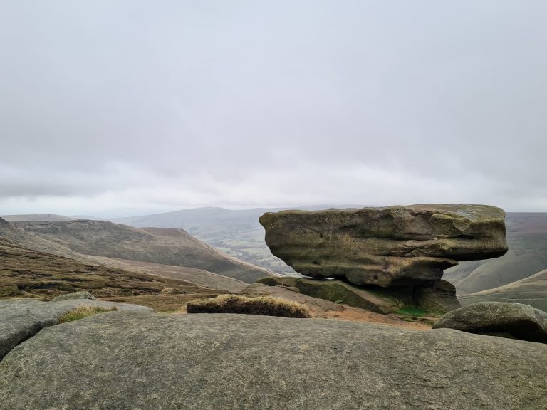
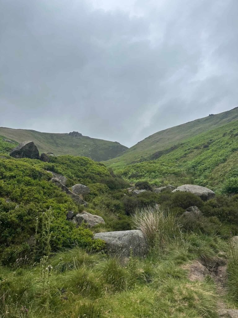
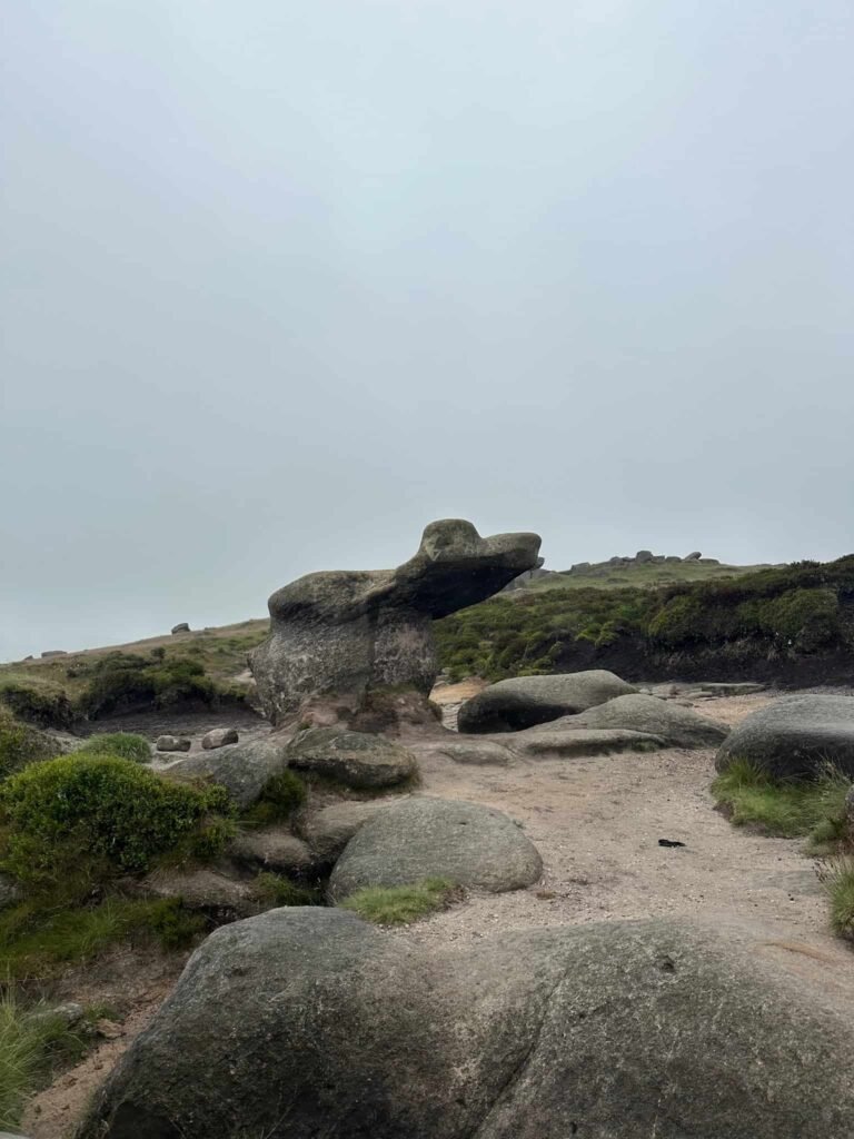
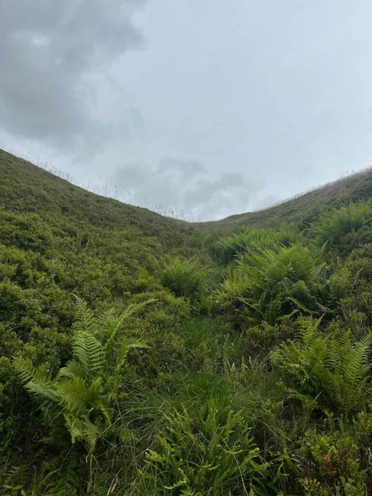
The scramble brings you out on a path running around the edge of the Kinder Scout plateau. Turning left, there are two path options and we took the higher path with the rocky steps. This takes you over Crowden Tower and continues around to the Woolpacks, passing this cute little frog rock.
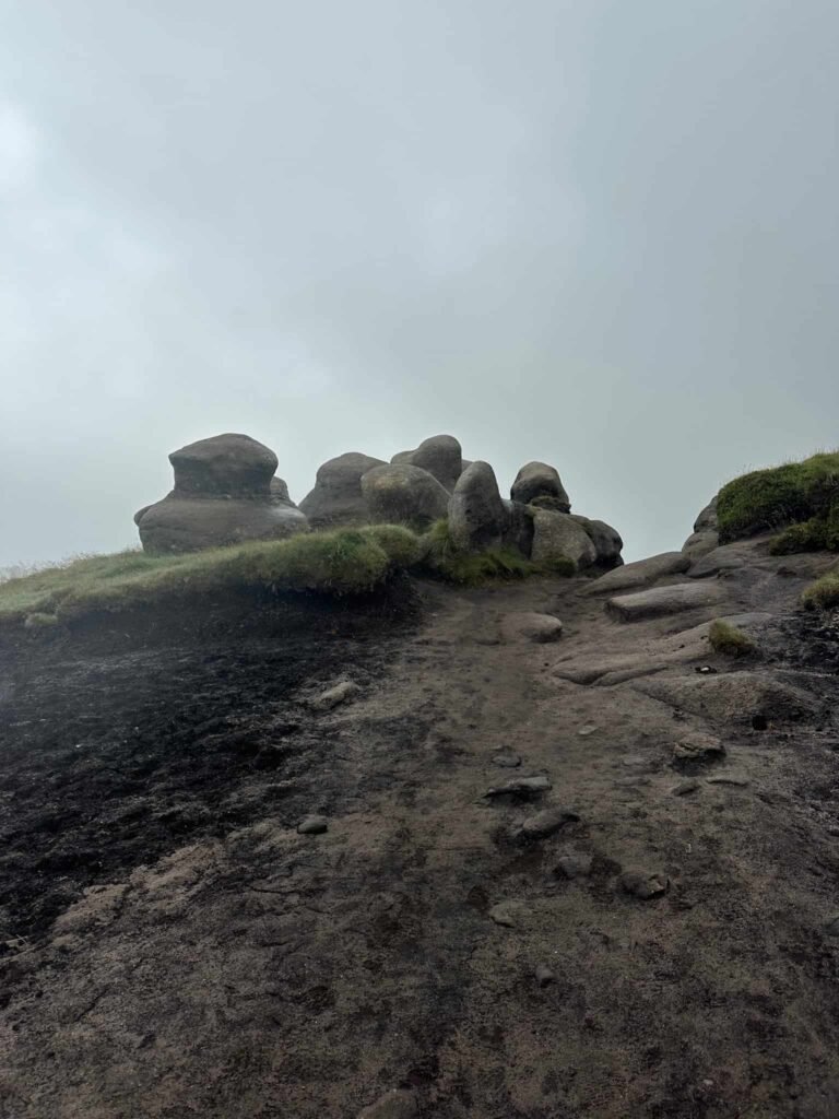
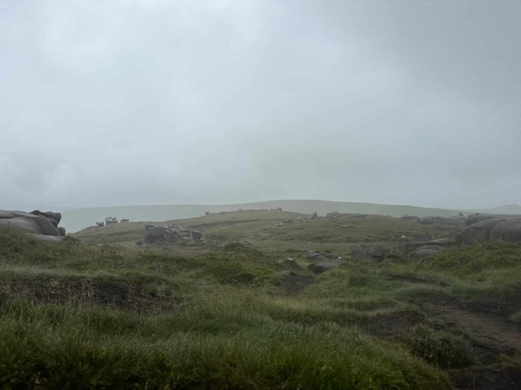
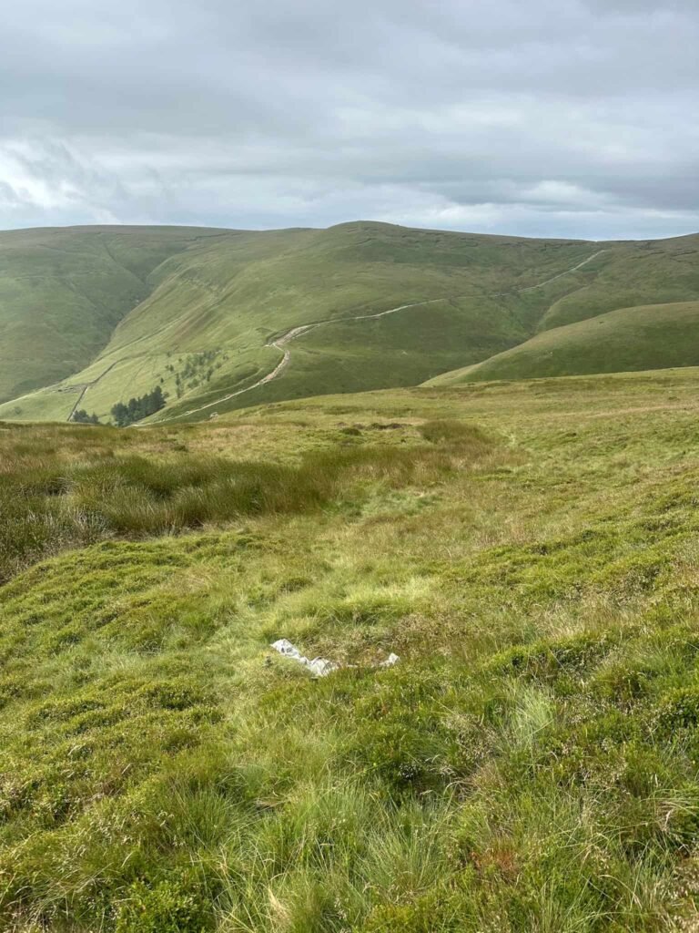
This part of Kinder Scout gets very wet and boggy at times.
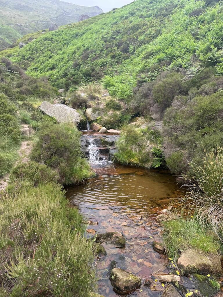
As the rocks start to thin out, we dropped down in search of the impact point of the Harvard. There is apparently a carved rock here somewhere but we couldn’t see it! We could however see the small debris pool just below which is all that remains of this plane, so we headed straight for that.
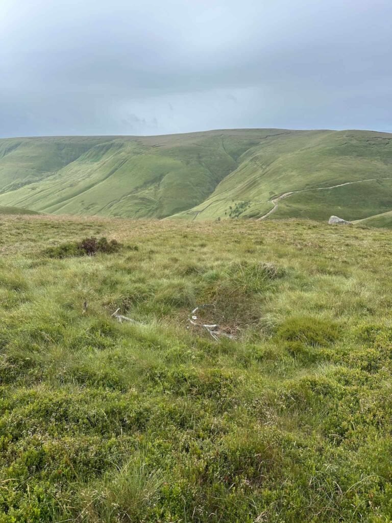
We then headed east to pick up a stream channel, thinking this would be easier to follow to the next crash site which is only around 150m downhill from the Harvard and almost right on the stream bed. The going down the hill is really tough – it’s steep, tussocky and there are hidden holes in the peat to watch out for. We all fell in at least one!
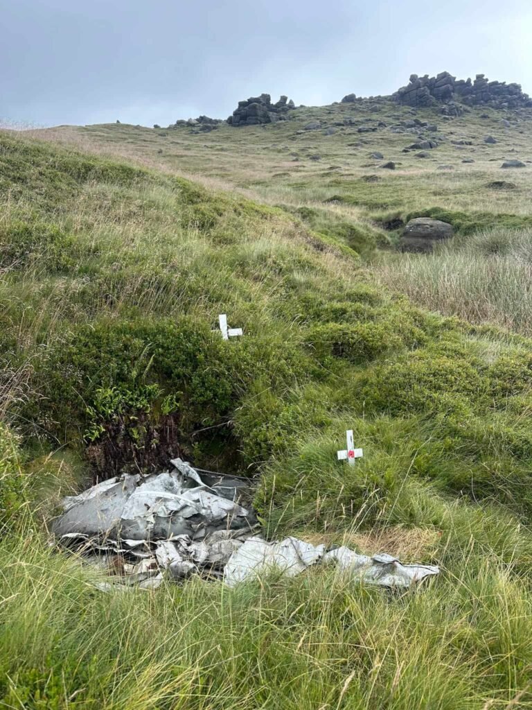
Reaching the Anson crash site, we then carried on down the hill to the grid reference for the engine but we couldn’t find it – I had seen reports that it had been swallowed by the peat and I can well imagine it! If you visit and find it, let me know.
We found the remains of a dry stone wall and followed this a distance, thinking it would be easier than yomping down the stream bed, and then we found a very faint path running down the hill so we followed this until we reached the River Noe (as shown on the Komoot link). You could also just follow the stream bed down to where it meets the river as shown on the OS map link.
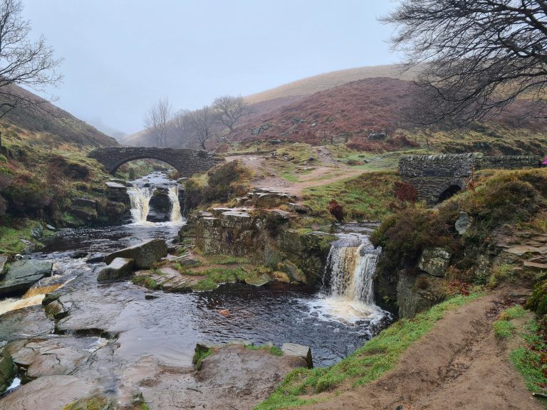
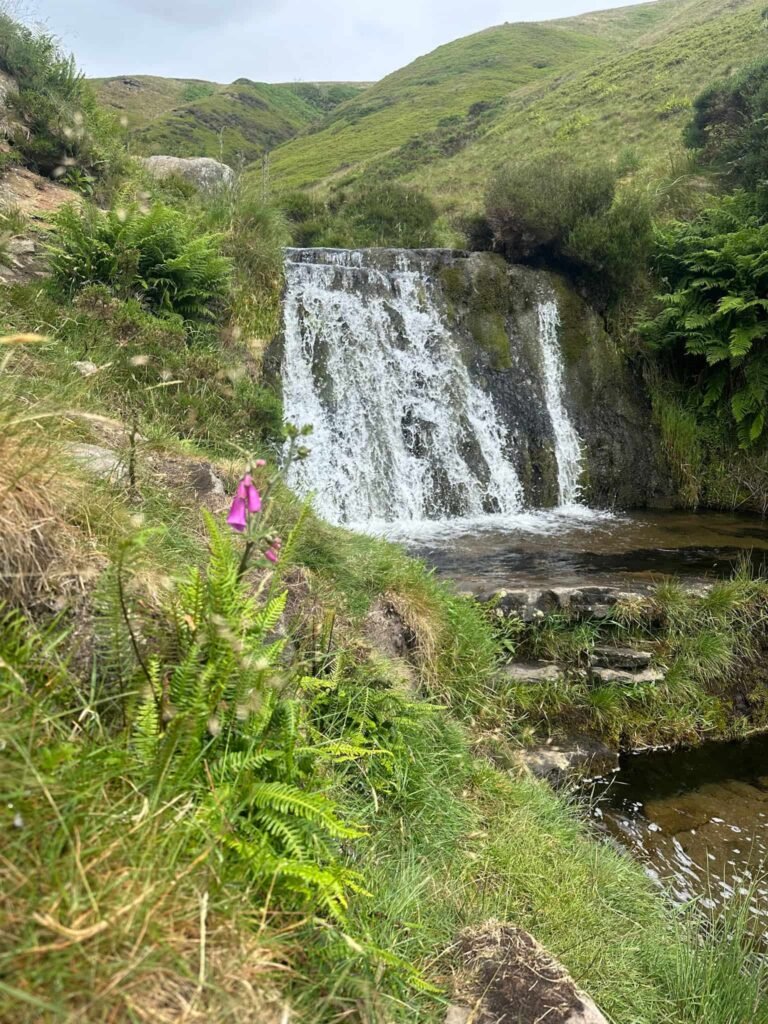
Turning left and following the river a short distance, we reached the top of the Zen Waterfall (the big boulder) and crossed just upstream from this. There is a path to the side of the waterfall and we followed this.
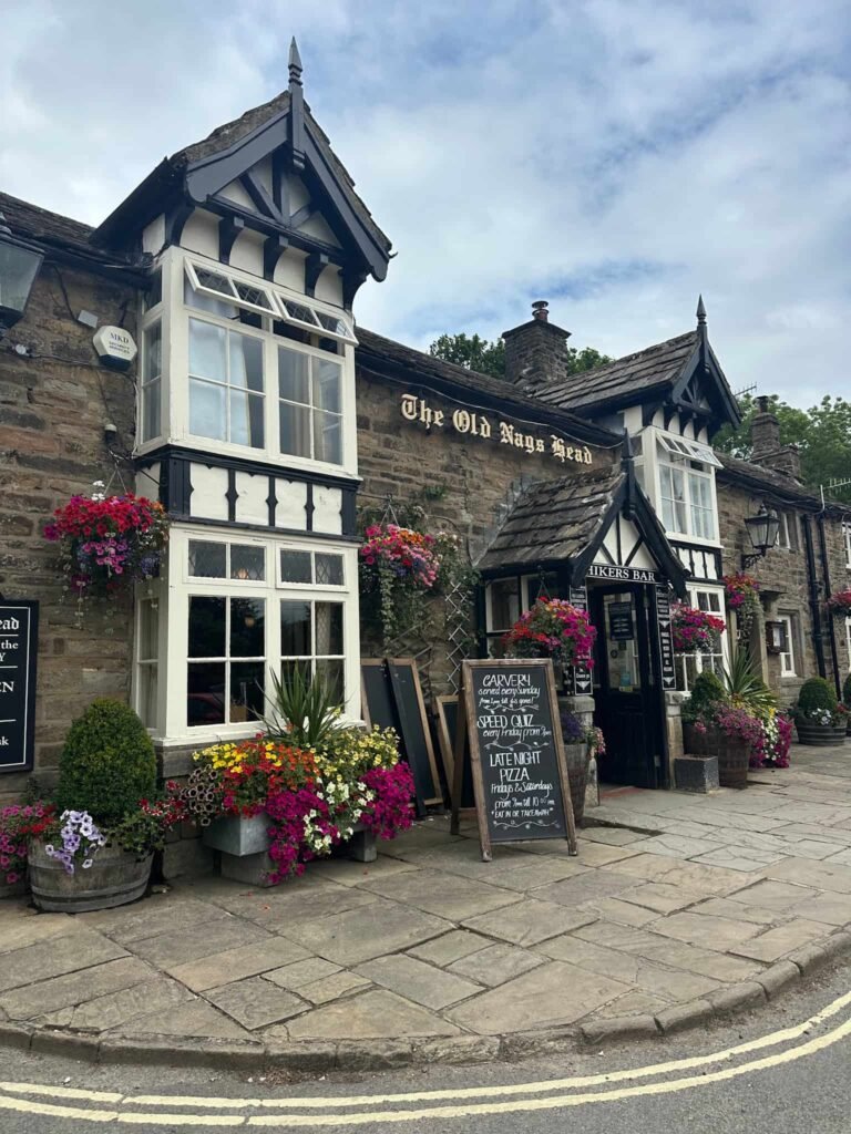
After a snack break at the waterfall (#leavenotrace) we joined the Pennine Way at the bottom of Jacob’s Ladder, and followed this south-east, along the gravelly tracks, through the beautiful old Lee Farm, then back to Upper Booth Farm. We then set off on the road back to the car, and drove into Edale for some lunch at the Old Nags Head.
This walk has a lot to see for such a short distance, and is a great morning out on the hills.
FAQ
How hard is the walk from Barber Booth to the Woolpacks plane wrecks?
Despite being only 4.6 miles, this is a challenging walk due to the Crowden Clough scramble, rough moorland terrain and the off-path navigation required to find the crash sites. It is probably not suitable for beginners or those without map reading experience.
Do I need a GPS to find the Anson NL185 and Harvard FT415 crash sites?
A GPS with saved coordinates is strongly recommended – the OS maps app is great, and you can download the map before you go to save data. The crash sites lie in off-path, featureless moorland near the Woolpacks and are small and easy to miss. A map and compass are essential as backup, as mobile signal is unreliable on Kinder Scout.
Are the two crash sites close together?
Yes – the Anson NL185 and Harvard FT415 are approximately 100 – 150 metres apart, though they are frequently confused with one another.
What remains can you see at the crash sites?
At the Anson NL185 site, cowling panels and other small fragments remain, though some items have been moved over the years. At the Harvard FT415 site, an undercarriage leg and a few other fragments can be found in a waterlogged peat pit. Both sites are modest and require careful searching to locate.
Is the Crowden Clough scramble suitable for children?
Older children who are confident on rocky terrain may enjoy the scramble, but it involves hands-on climbing over boulders and alongside waterfalls and is not suitable for young children or those uncomfortable with heights. The off-path moorland section is also unsuitable for young families.
Where do you park for this walk?
The walk starts from Barber Booth in the Edale Valley. There is a small car park at Barber Booth, or you can use the main Edale pay and display car park a short distance along the valley and walk to the start.
What map do I need?
OS Explorer OL1 (The Peak District – Dark Peak area) covers this route. This is essential – do not attempt the off-path sections without a map!
Walk Map (Opens in OS Maps): Kinder Scout Plane Crash Sites: Anson and Harvard + Crowden Clough Scramble
Parking: Barber Booth, Edale Rd High Peak S33 7ZL. W3W:// version.plod.secures Pay and Display: £6.60 all day (June 2026), card only.
Facilities: None other than the coffee/ice creams at Upper Booth Farm campsite
Walk Time: 4-5 hours depending on speed and fitness
Difficulty: ▲▲▲
Distance: 4.6 miles (7.4km)
Trig Points Bagged: None
Peak District Peaks Bagged: None
Peak District Ethels Bagged: None
You might also like: