Beddgelert to Moel Hebog Walk | 4 Miles
Rising above the pretty village of Beddgelert, Moel Hebog is one of Eryri/Snowdonia’s most rewarding “quieter” mountains, standing at 782m, making it just shy of its famous neighbour Yr Wyddfa/Snowdon, but every bit as satisfying to climb.
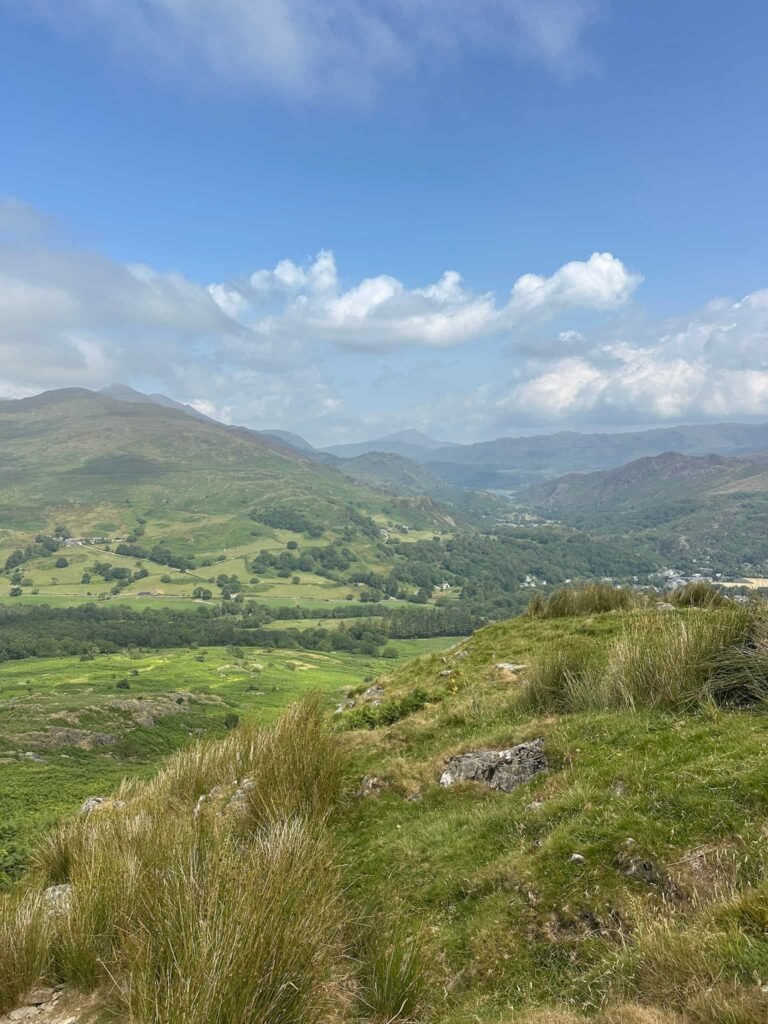
This 4.34-mile route takes you straight up from the village on a steep, unrelenting ascent with a short scramble near the top rewarding you with some of the best views in the National Park. On a clear day you’ll see the Welsh coastline along with several peaks including Snowdon, Moel Siabod and the Nantlle Ridge. It’s a proper mountain day out, but one you can be back down from in time for a well-earned pint in the village.
Walk Highlights
- A steep climb with a real sense of achievement – it’s a steep, unrelenting climb to the summit, so you’ll feel every metre of ascent, but the reward is one of the finest panoramas in Snowdonia (on a clear day).
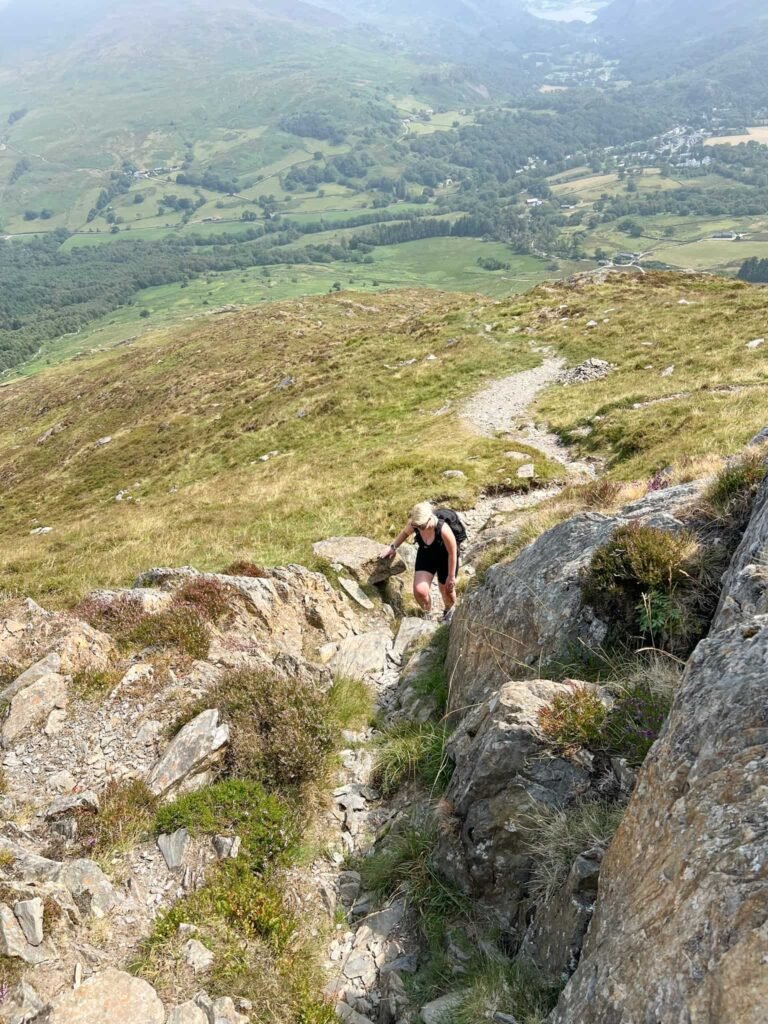
- A taste of scrambling – as you near the summit, the terrain becomes rocky, with some scrambling and scree navigation required to reach the top, giving the route a bit of adventure without needing technical climbing experience.
- Big views from a quieter summit – the trig point at the top offers stunning views of the surrounding peaks, and you’ll likely have far more of the mountain to yourself than you would on Snowdon itself. We only saw one other couple until we reached the top!
- Wildlife on the way up – keep an eye out for buzzards, red kites and peregrine falcons as you climb.
- History underfoot – the neighbouring summit of Moel yr Ogof is home to a cave where Owain Glyndŵr is said to have hidden from the English, adding a bit of legend to the landscape if you fancy extending the walk.
- A start and finish in a beautiful village – Beddgelert itself has a fine bridge crossing the river and several good pubs for refreshments once you’re back down. The Glaslyn ice cream shop is also amazing.
FAQ
How hard is the walk up Moel Hebog?
I’d call this a challenging route. There’s a steep, sustained climb and no real let-up until near the summit. It’s suited to walkers with some hill-walking experience rather than complete beginners.
Is there really a scramble?
Yes, but it’s short and not technical. The path is mostly loose scree with just a few sections that may require using your hands, so most walkers will manage it comfortably in dry conditions, though care is needed underfoot.
How high is Moel Hebog?
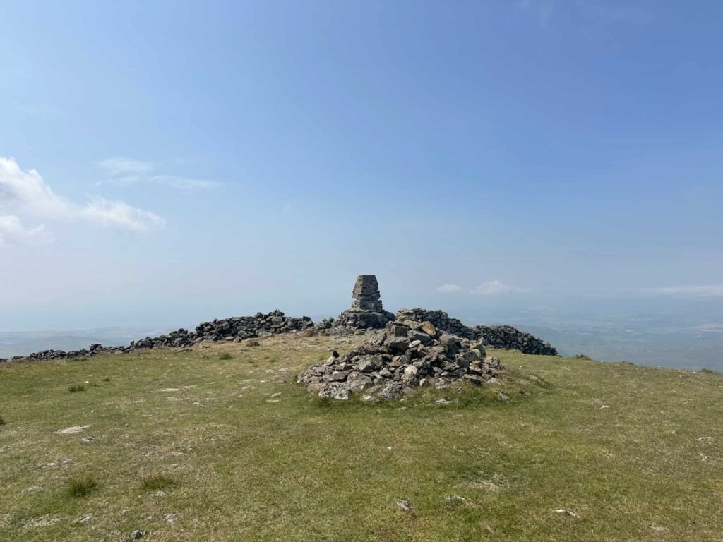
The summit sits at 783 metres (2,569 feet), marked by a weather beaten trig point.
Where do I park?
There’s a fairly large pay-and-display car park in the centre of Beddgelert village, making it an easy starting point for the walk.
What will I see from the top?
On a clear day, you can enjoy views of the Welsh coastline as well as peaks including Snowdon, Moel Siabod and the Nantlle Ridge.
Is it a circular route?
This 4.34-mile version is an out-and-back up and down Moel Hebog. The walk can be extended to take in the neighbouring summits of Moel yr Ogof and Moel Lefn if you fancy a longer day and a full circular route, but we just fancied the out and back.
We did this walk as part of our Camping Weekend in Criccieth.
The walk starts from the large car park in Beddgelert near the historic Welsh Mountain Railway, and we set off towards the train station, following the tarmac path to the junction and turning right. The path runs alongside a field and comes to a metal gate, where we turned left. This track runs uphill, crossing the railway line 3 times, and then passes a blue house before you reach another metal gate.
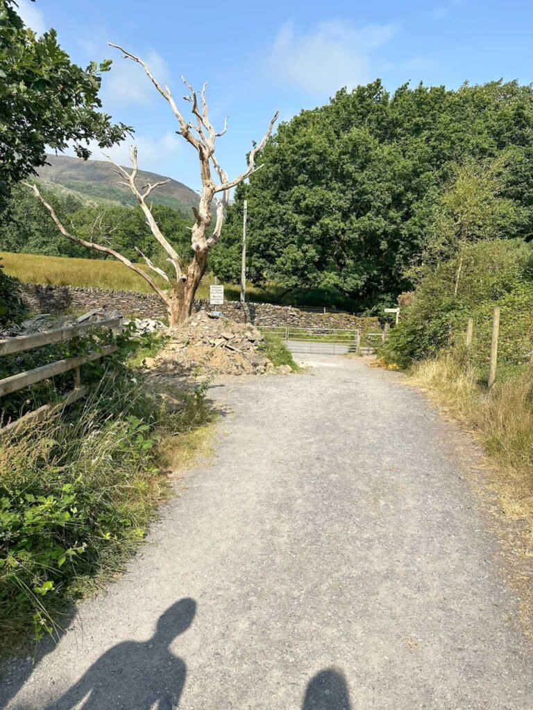
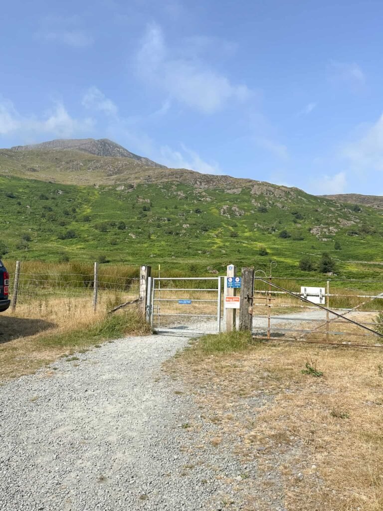
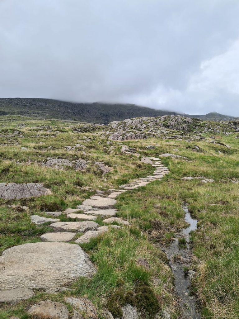
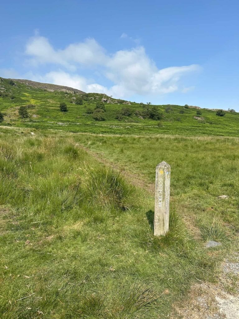
Through the gate, the route follows the gravel track until we reached a wooden signpost marked for Moel Hebog. Here the route heads off onto the grassy moorland. On a clear day the path is easy to see but it does deviate from that shown on the OS Map. If you follow my GPX file, this is the exact route I walked.
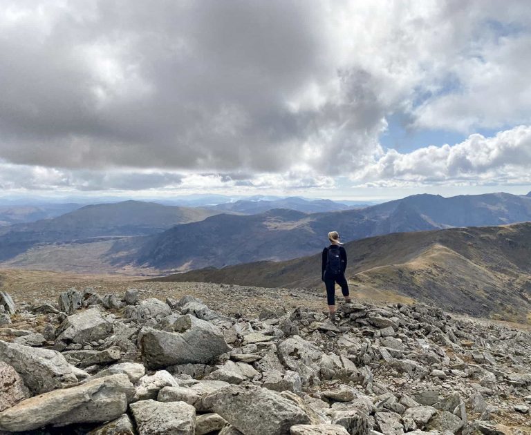
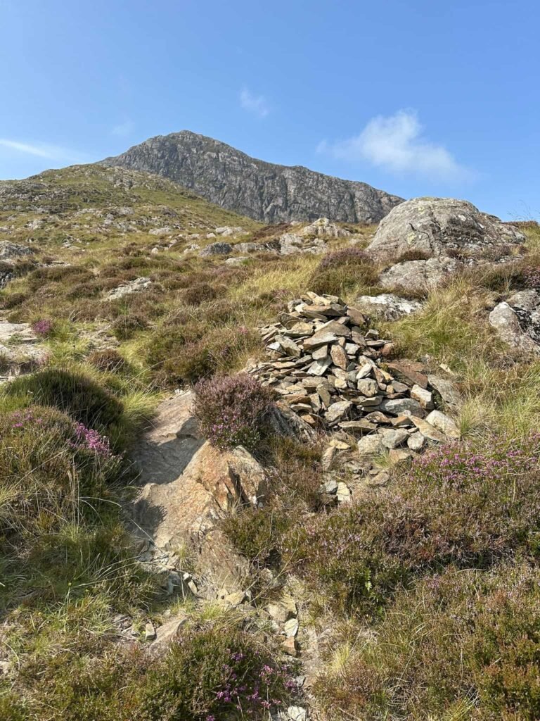
The route climbs steadily with the terrain becoming rockier and more scree-ish as you get higher, especially after the wall. There are a series of stone cairns which show you the route over the rocks, although these can be hard to spot.
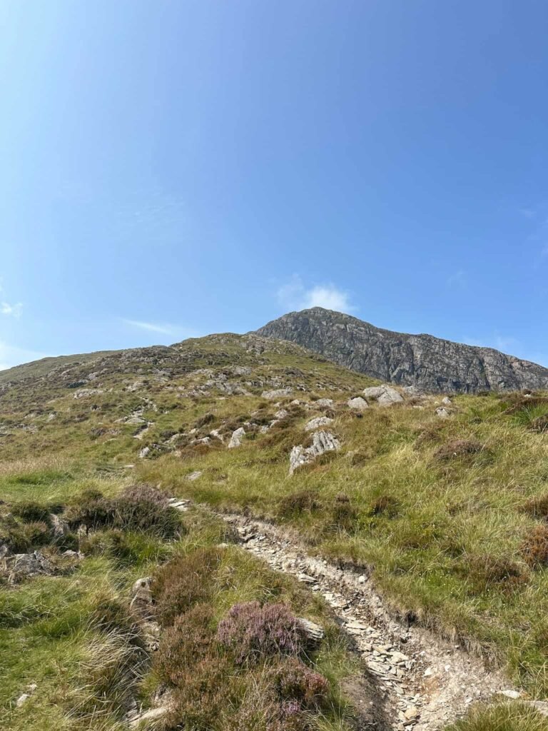
The route passes some unique volcanic pillow lava deposits (these look a bit like a pile of rock balls) and passes over more rocks before emerging near the summit, which is an open, grassy area. There is a trig point here which has stunning views over the surrounding mountains.
We set off back down the mountain, retracing our steps all the way back to the car. It took us a lot less time to get down than it did to get up!
This was a lovely walk in a quiet area, one I’d definitely recommend if you want a peaceful walk away from the crowds in Eryri.
Walk Map (Opens in OS Maps): Beddgelert to Moel Hebog Walk
Parking: Beddgelert – 7 Cae Morys, Beddgelert, Caernarfon LL55 4YW W3W:///snack.sketching.preoccupied. Pay and display – cards and cash.
Dogs: Dogs on leads near livestock – the route uses public footpaths but does cross a lot of farmland where there are sheep. It uses Open Access Land, so dogs need to be on a short lead between 1 March and 31 July to protect wildlife.
Facilities: There are toilets in Beddgelert at W3W///dish.reverted.parent, as well as pubs, cafes and an ice cream shop.
Walk Time: 3-4 hours
Difficulty: ▲▲
Distance: 4.34 miles (6.98km)
Elevation: 2400ft (731m)
Trig Points Bagged: Moel Hebog
For more walks in Eryri/Snowdonia, you might like: