Caer Gribin, Tre’r Ceiri and Yr Eifl Walk on the Llyn Peninsula | 5 Miles
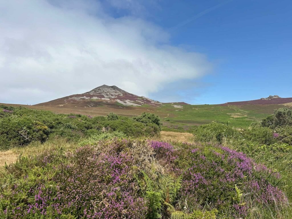
Looking to explore the Llyn Peninsula? This 5 mile walk visits 3 summits, Caer Gribin, Tre’r Ceiri and Yr Eifl and enjoys stunning, far reaching views. The Iron Age hillfort at Tre’r Ceiri is one of the best-preserved in Britain and well worth a visit.
Route highlights
Tre’r Ceiri hillfort – The undisputed highlight of the whole route, the “town of the giants”. One of the best-preserved Iron Age hillforts in Britain, with huge stone ramparts and the remains of hut circles still visible right across the summit. Give yourself enough time here to walk the walls and take in just how much survives.
Summit views across the Llyn Peninsula – From the tops of Caer Gribin, Tre’r Ceiri and Yr Eifl, you get sweeping views out across the peninsula and the sea beyond. On a clear day it’s some of the best coastal walking scenery this part of Wales has to offer.
Three summits in one route – Rather than a single there-and-back climb, this route links three distinct tops, with an Iron Age hillfort and a trig point.
Quiet, less-crowded paths – Compared to the honeypot spots elsewhere in Eryri/Snowdonia, this corner of the Llyn Peninsula sees far fewer walkers, so it’s a good option if you want to see amazing scenery without the crowds.
FAQ
How long is the walk?
The route is 5 miles in total, taking in all three summits.
Where does the walk start?
The walk starts from Llithfaen, with on-street parking available in the village.
How difficult is it?
It’s a decent hill walk with a good amount of ascent across the three summits, so a reasonable level of fitness and decent boots are needed. It’s not technical, but it is a sustained climb.
How long does it take?
We took 3 hours to walk this route.
Is the route well signposted?
For the most part, yes, but at the summit of Tre’r Ceiri and Yr Eifl it’s easy to lose the path as it’s very rocky.
What should I bring?
Sturdy boots, layers for exposed summit sections, and plenty of water and snacks – there’s no shop or facilities en route.
Can you visit Tre’r Ceiri without doing the full route?
You can just head up to Tre’r Ceiri and return, as an out and back, if you wanted a shorter walk.
Is it dog-friendly?
Yes, but dogs need to be on leads around livestock (there are sheep on the moors). We also saw an adder near Caer Gribin which can be dangerous to dogs.
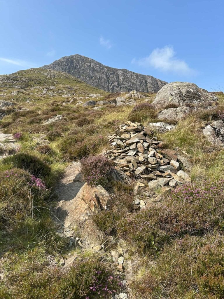
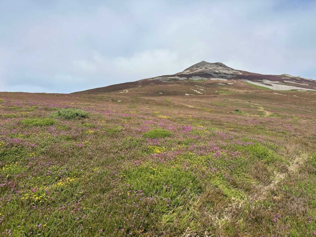
The walk starts from the roadside in Llithfaen outside Caffi Ceiri and heads up an unnamed road to Gors-lwyd Cottage. Through the gate, the aspect opens up and you’re suddenly on open moorland, which is stunning in early summer when the heather and gorse are in flower.
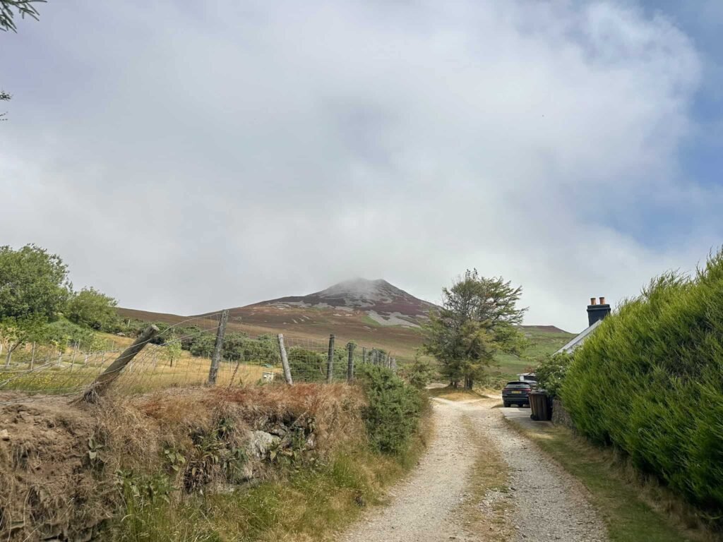
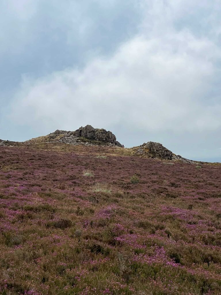
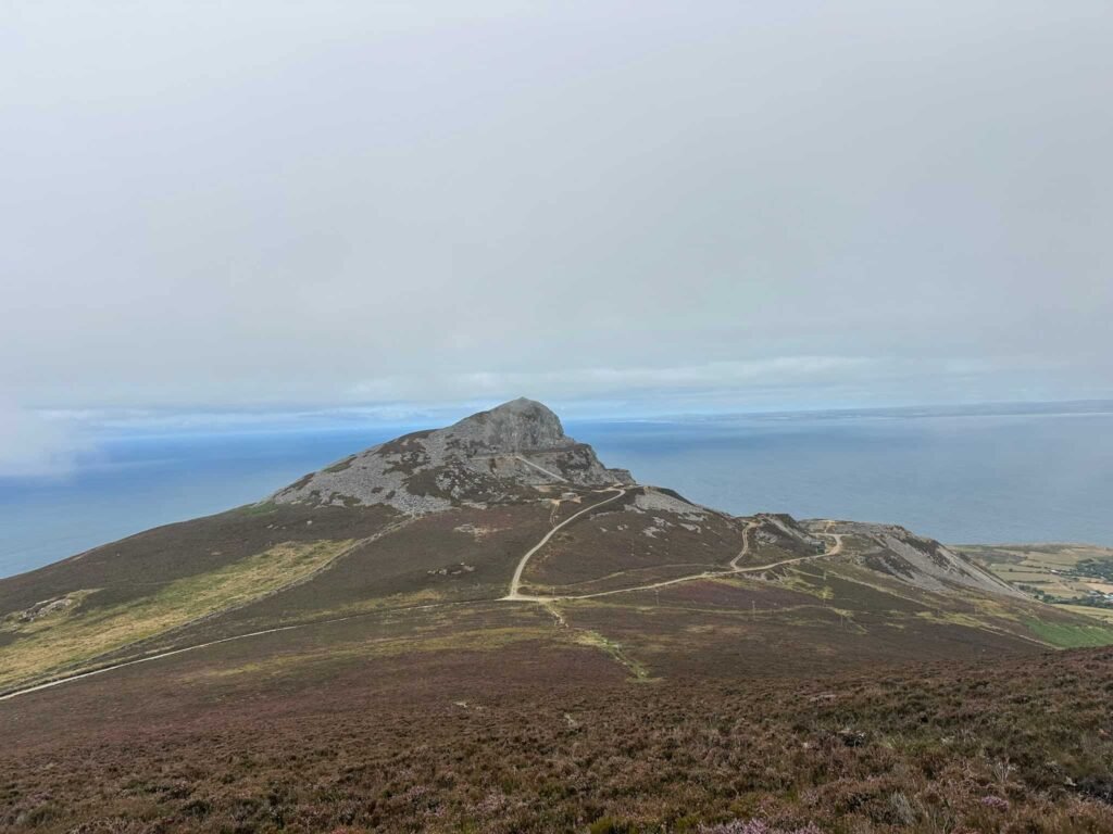
We followed the track to a path junction and then onwards, through a gate. Not far after the gate the path splits and we took the fainter, right hand fork through the heather, leading to the rocky outcrop of Caer Gribin at 374m.
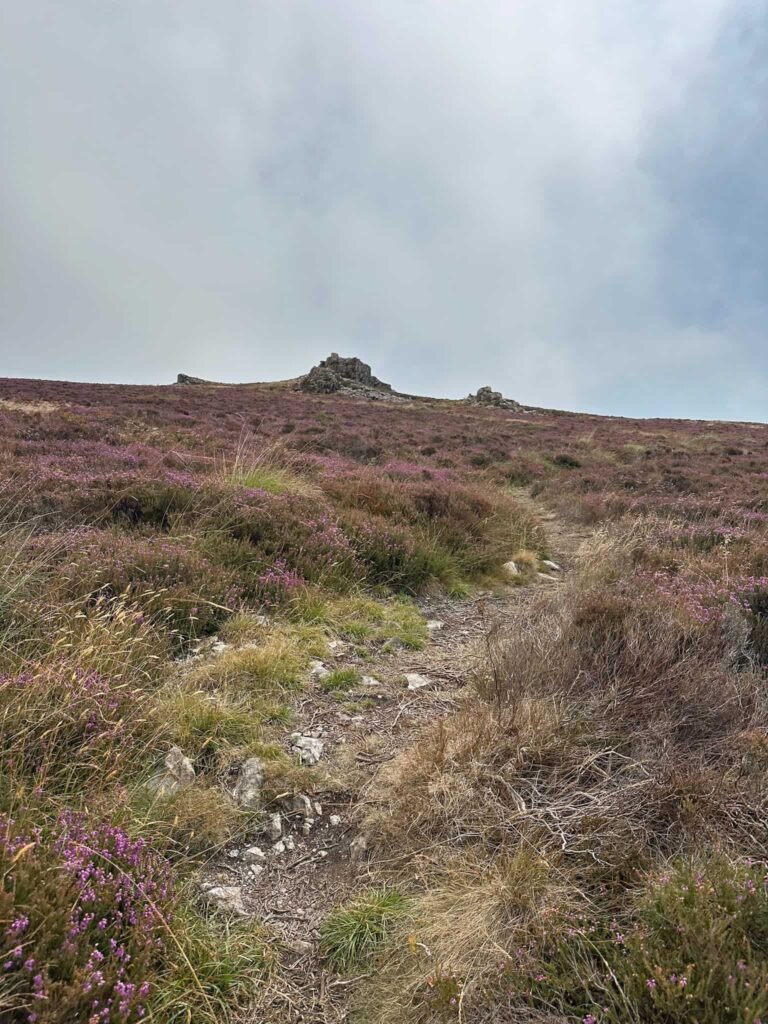
The path continues through the heather and comes to another gate, then climbs steadily to reach the rocky summit of Tre’r Ceiri. Tre’r Ceiri is one of the best-preserved Iron Age hillforts in Britain and a protected monument. Its stone ramparts and the remains of around 150 hut circles are still clearly visible across the summit, together with an earlier Bronze Age burial cairn at the summit. It’s amazing standing among ruins that are thousands of years old, with the whole of the Llyn Peninsula spread out below.
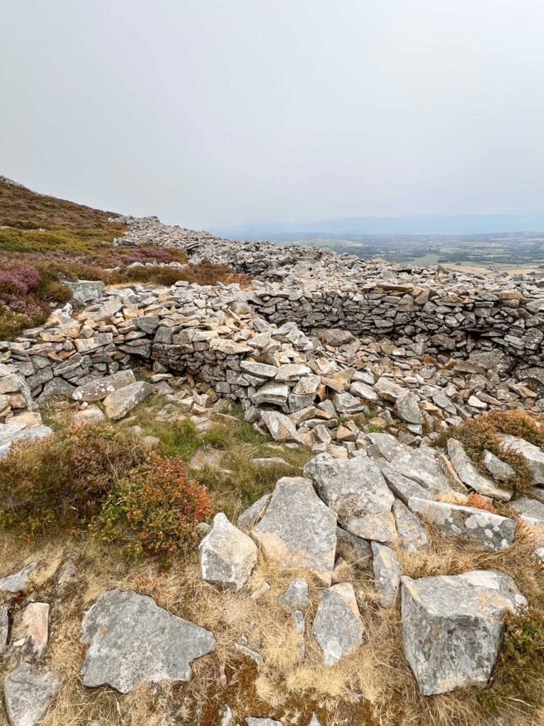
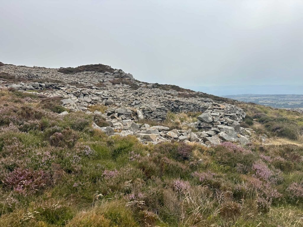
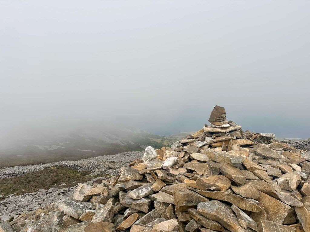
We followed the path up to the summit, passing through the hut circles, and reached the cairn marking the top. From here we continued up and over, following the rampart/walls back downhill to reach an entrance gateway in the wall in the north-western corner.
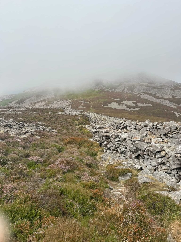
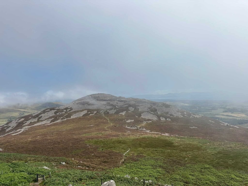
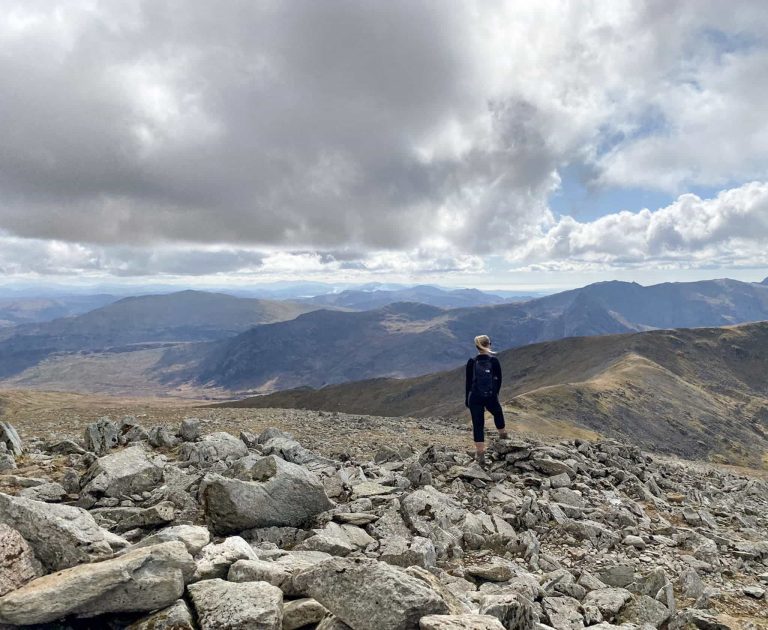
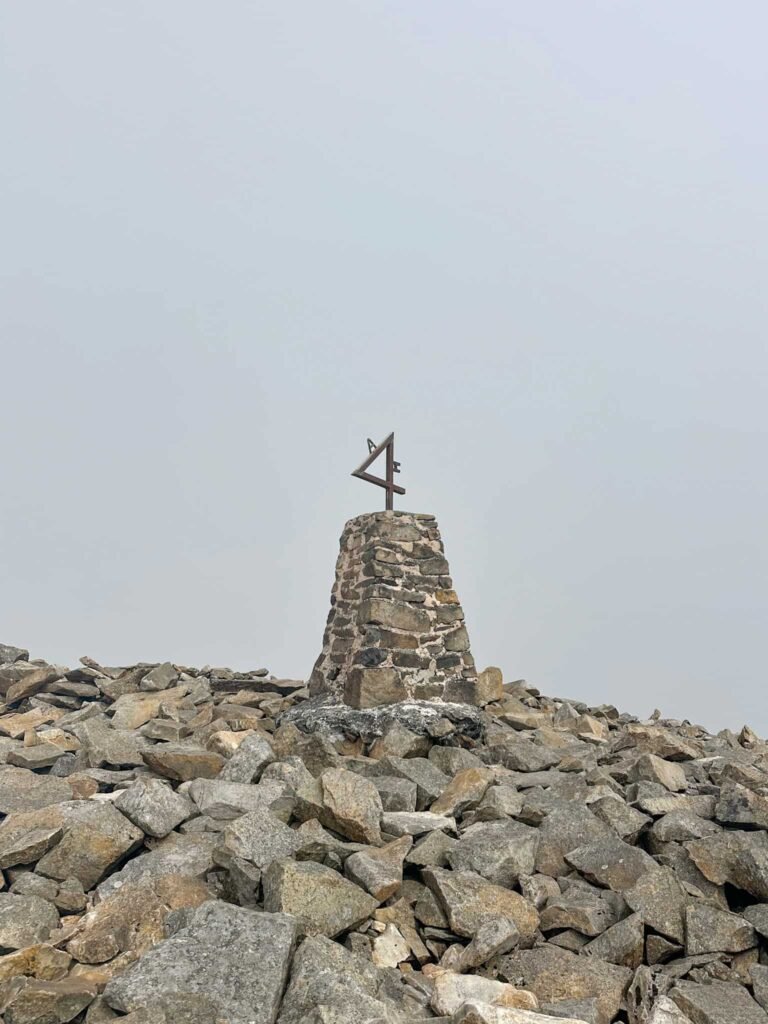
There is a path here through the marsh, which then climbs up again to the summit of Yr Eifl, (Garn Ganol). Yr Eifl sits at 564m and is marked by a trig point topped with a curious metal sculpture.
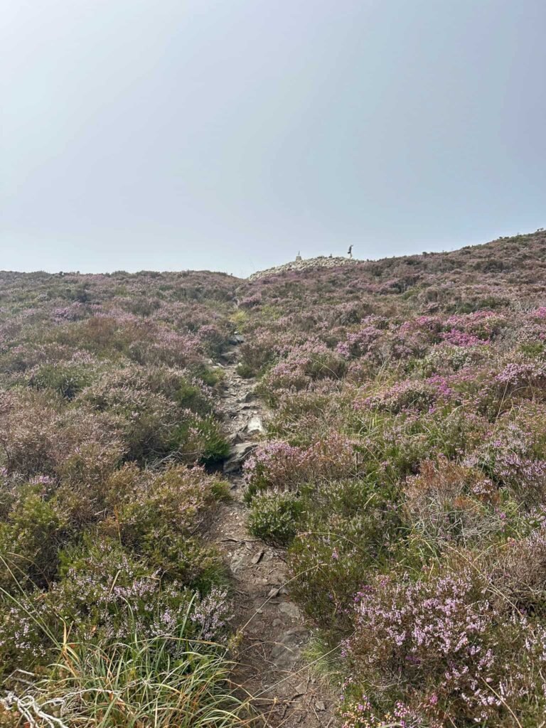
We picked our way through the huge rocks on the summit and set off north-west towards Bwlch yr Eifl. We had planned to hike up Garn Fôr but the ‘Private, Keep Out’ signage on the gate (and a grumpy teen) put us off. Instead we turned left and walked along the North Wales Pilgrim’s Way, heading up the hillside when the path forked.
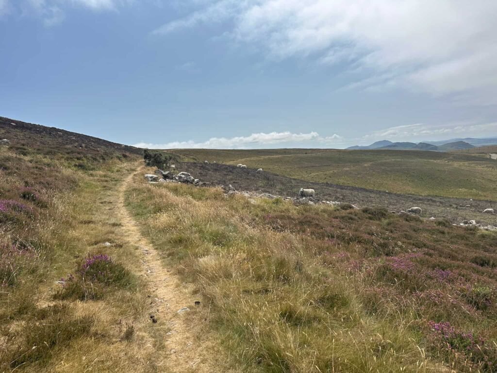
The path eventually brings you back to Gors-lwyd Cottage, and then we retraced our steps back down the road to the car.
Walk Map (Opens in OS Maps): Caer Gribin, Tre’r Ceiri and Yr Eifl Loop
Parking: On street outside Caffi Ceiri, Llithfaen, Pwllheli LL53 6PA – Please be mindful of residents. W3W:///regulate.snacks.desktops. There is a car park at Yr Eifl car park, Pistyll, Pwllheli LL53 6NU W3W:///really.dodges.booms – free.
Dogs: Dogs are allowed but need to be on a lead near livestock. We saw an adder near Caer Gribin which can be dangerous to dogs.
Facilities: None if Caffi Ceiri is closed.
Walk Time: 3-4 hours
Difficulty: ▲▲
Distance: 5 miles (8km)
Elevation: 1675ft (510m)
Trig Points Bagged: Yr Eifl
For more walks in Eryri/Snowdonia, you might like: