Langsett to Pike Lowe | 8 Miles
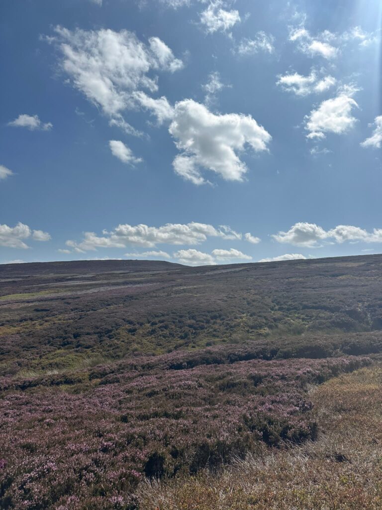
Tucked away in the wild heart of the Peak District, this 8 mile route from Langsett to Candlerush Edge and Pike Lowe takes you into the lonely expanse of the Midhope Moors. Following the ancient track of Cut Gate before striking out towards the windswept gritstone outcrops, you’ll find yourself surrounded by nothing but heather, sky and silence (maybe the occasional grouse). It’s a walk into a truly remote corner of the National Park – the kind of place where you can walk for miles without seeing another soul.
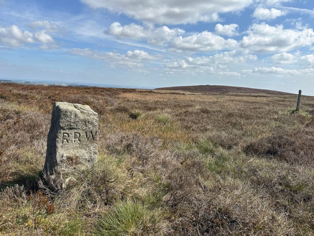
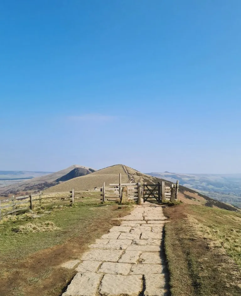
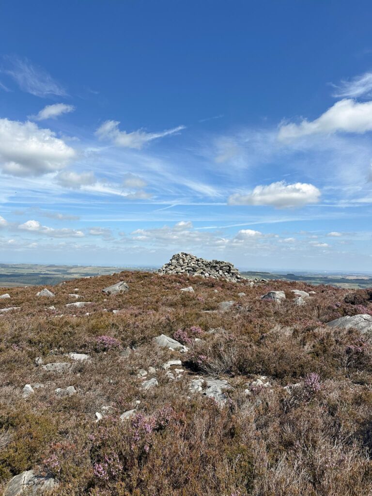
Perched high on the windswept Midhope Moors, Pike Lowe is a gritstone cairn thought to date back to the Bronze Age. Once a burial cairn, it’s now a weathered pile of stones that has been rebuilt and reshaped over the centuries by walkers and shepherds (and now makes a handy picnic spot). Remote and seldom visited, it offers sweeping views across the wild Dark Peak from it’s 478m summit.
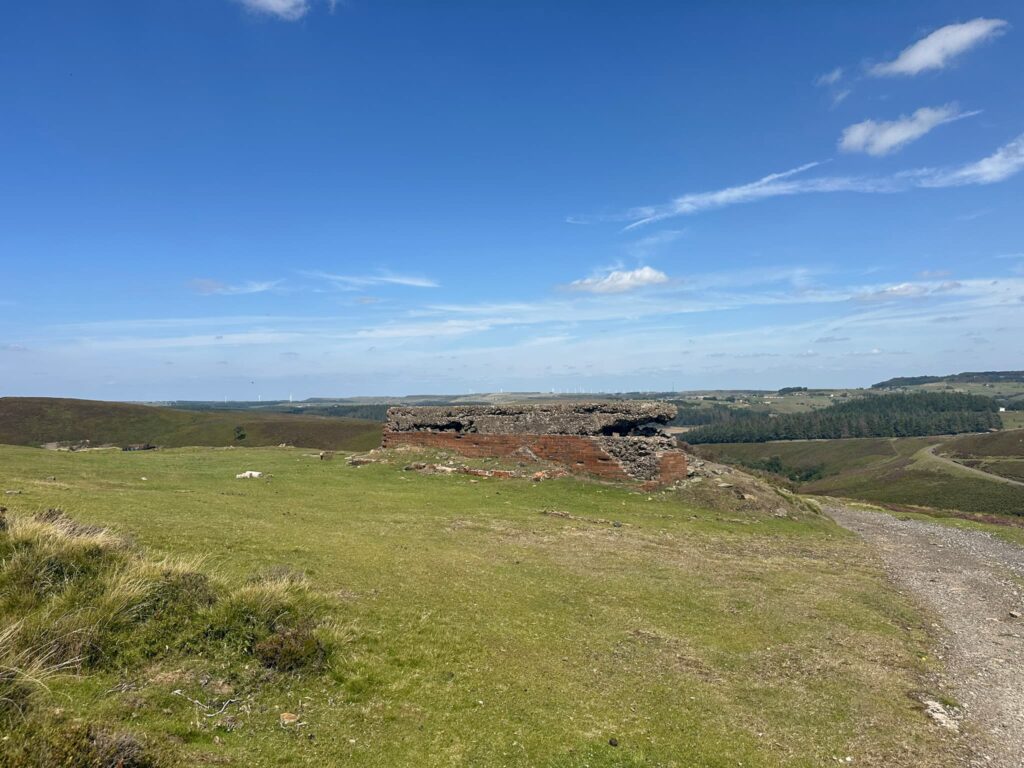
As you trace the moorland path, keep an eye out in the quieter hollows of Sugden Clough. Here you pass large brick structures being former tank training targets, evidence of a lesser-known chapter in the Peaks’ past: these moors were once a live firing or training ground. Locals even recall an unexploded bomb near the old shooting cabin!
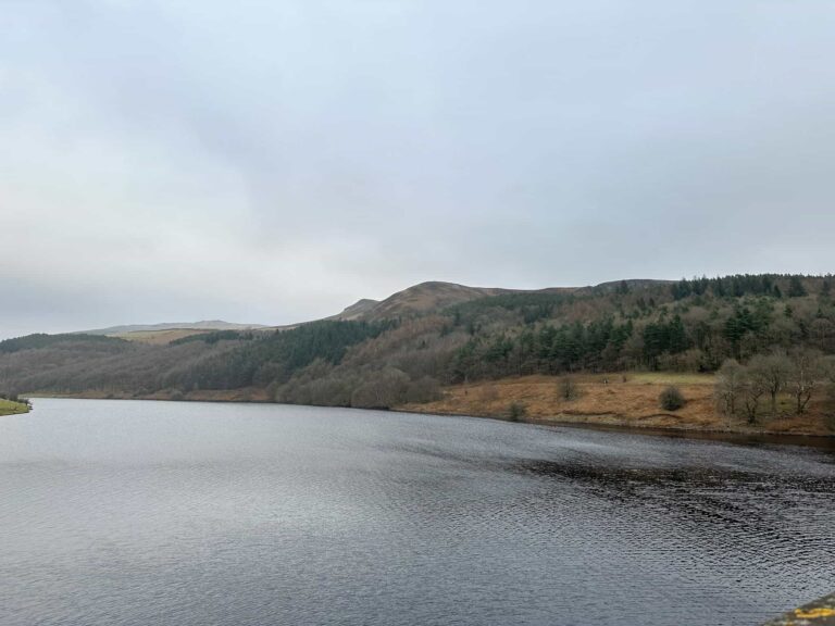
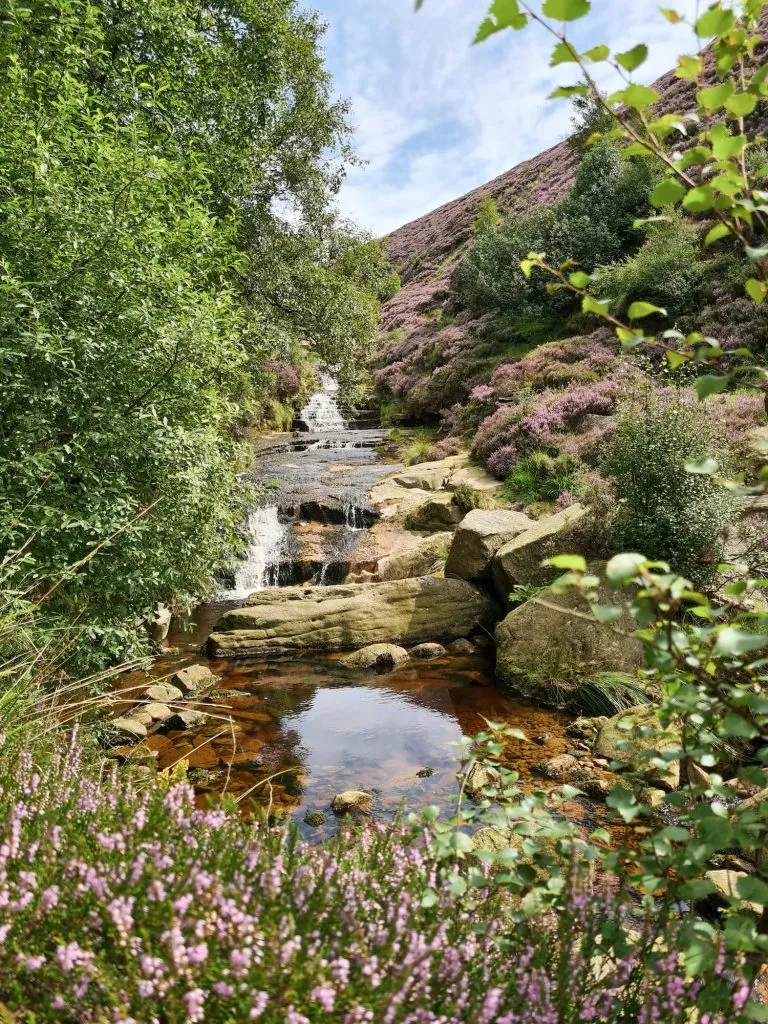
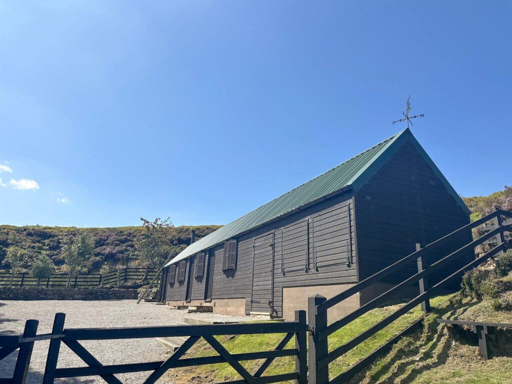
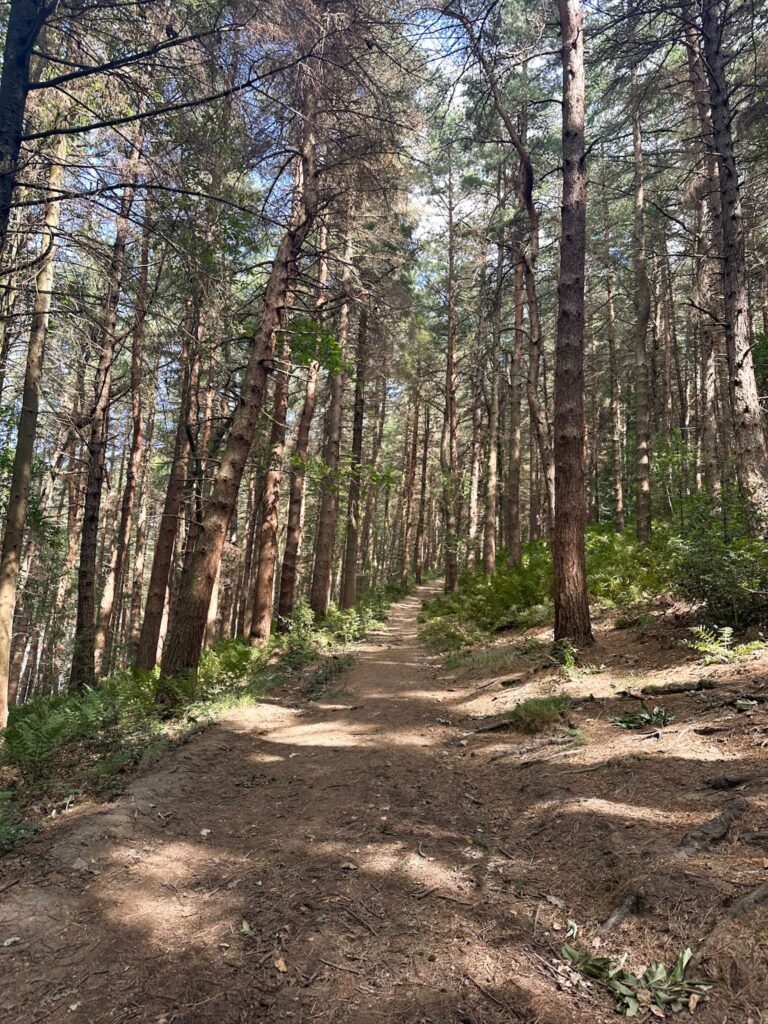
The walk starts from the Langsett Barn car park and heads south into the woods. We turned right and followed the woodland track as it ran alongside the Langsett Reservoir for around a mile. The path forks, and we stayed left, heading down the hill to the bridge over the River Don or Little Porter River.
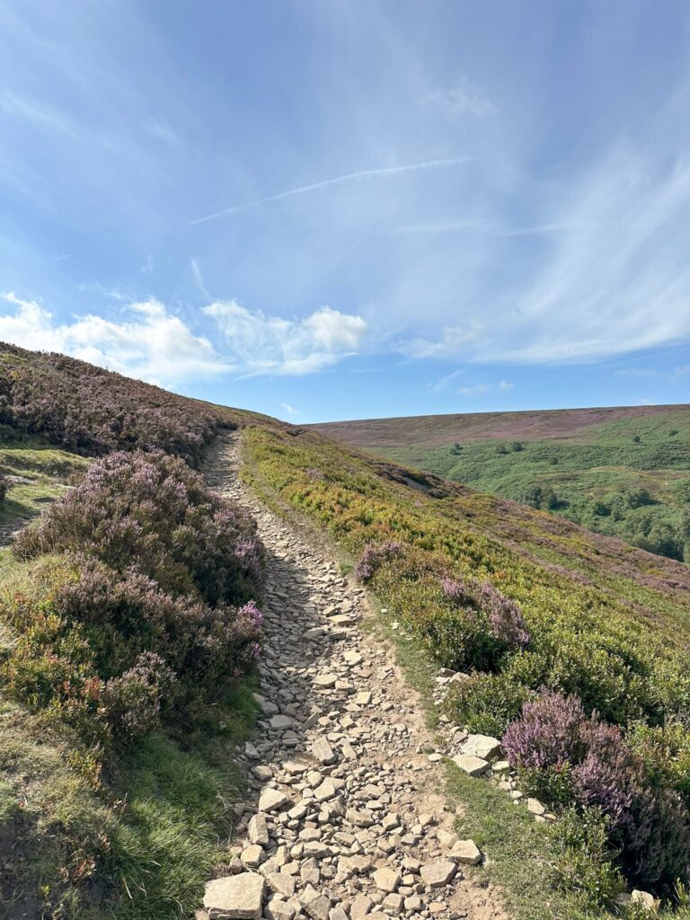
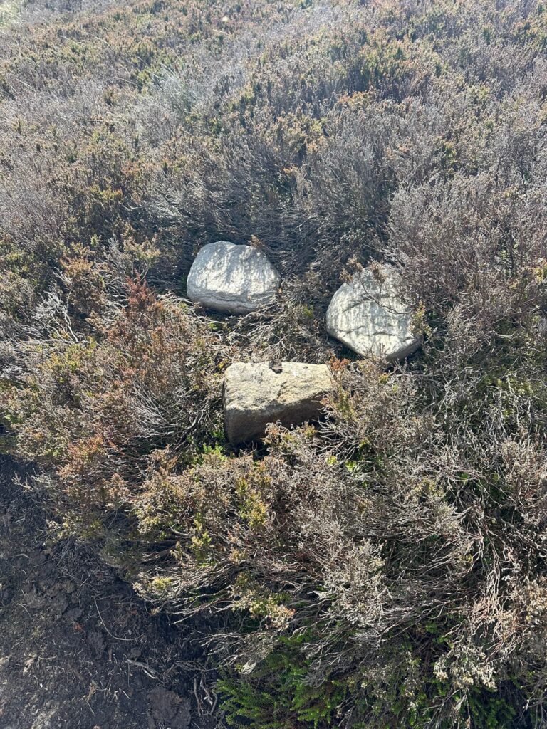
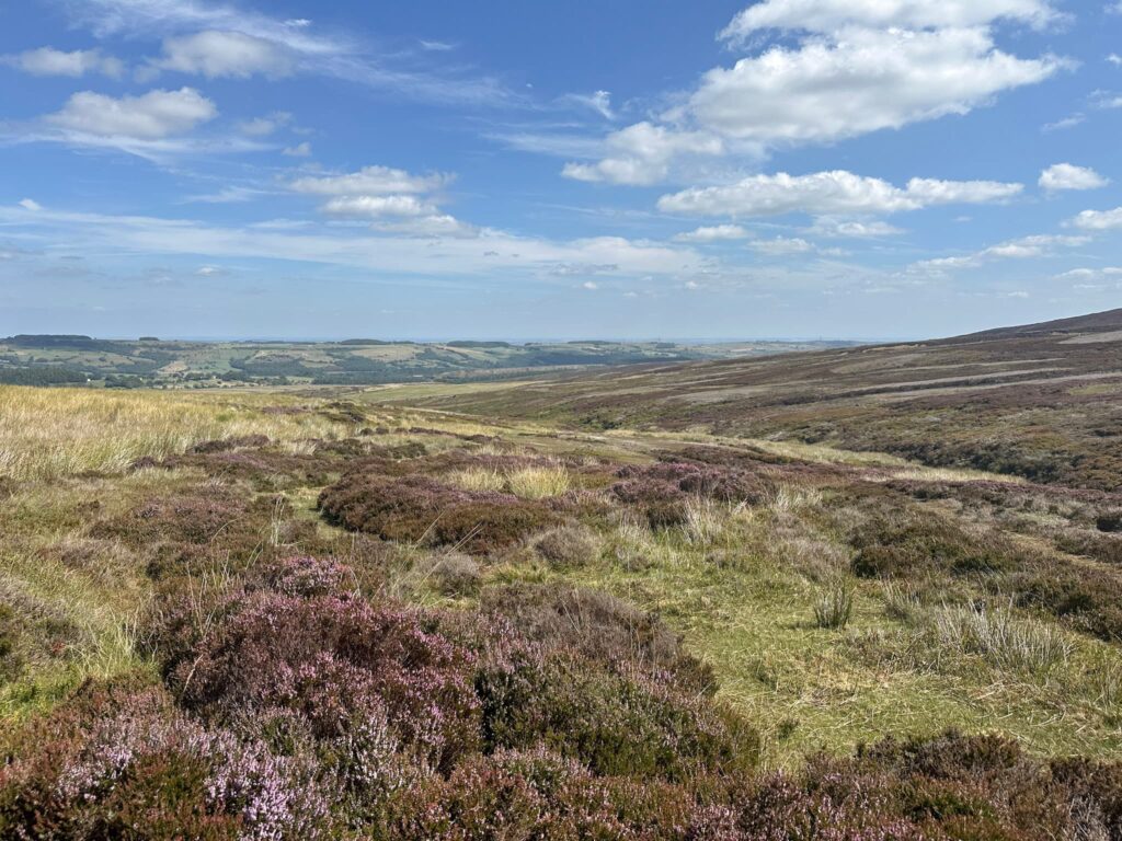
Crossing the bridge, we turned left to climb up the rocky path of Cut Gate. The path is well worn and really easy to follow. We walked for around 2.5 miles, until we reached a cairn on the right hand side of the path. A short distance after this cairn we left Cut Gate and headed off over Candlerush Edge. There is a faint path here, but it’s quite boggy in places so would be rough going in winter.
After around a mile we turned left and headed up the flank of Pike Lowe towards the cairn on the top. There are fabulous views over the moors from here and a lovely little roofless shelter which made a great lunch spot.
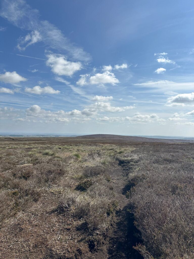
Lunch eaten, we set off again. Deciding to take a direct route over to Sugden Clough, we bashed our way through the heather for some 0.6 miles, taking our time as the heather was obscuring some of the holes in the peat and deep clefts with streams along the way.
Reaching the grouse butts at Sugden Clough, we shook the heather out of our boots and then followed the shooting track downhill, passing the Sugden Clough shooting cabin.
We reached the remains of the tank training target, a large brick and concrete structure used during WW2 when large parts of the Midhope Moors were given over to military training. This article on Everything Outdoors has some brilliant background reading and this Facebook page has some great photos of the range and the things that have been found up there. If you find any old shells or mortars, please don’t touch them as they could still be live!
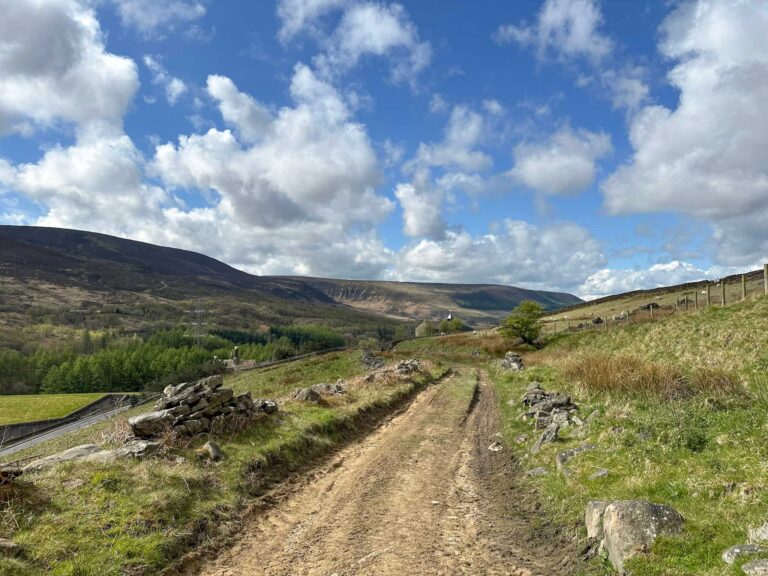
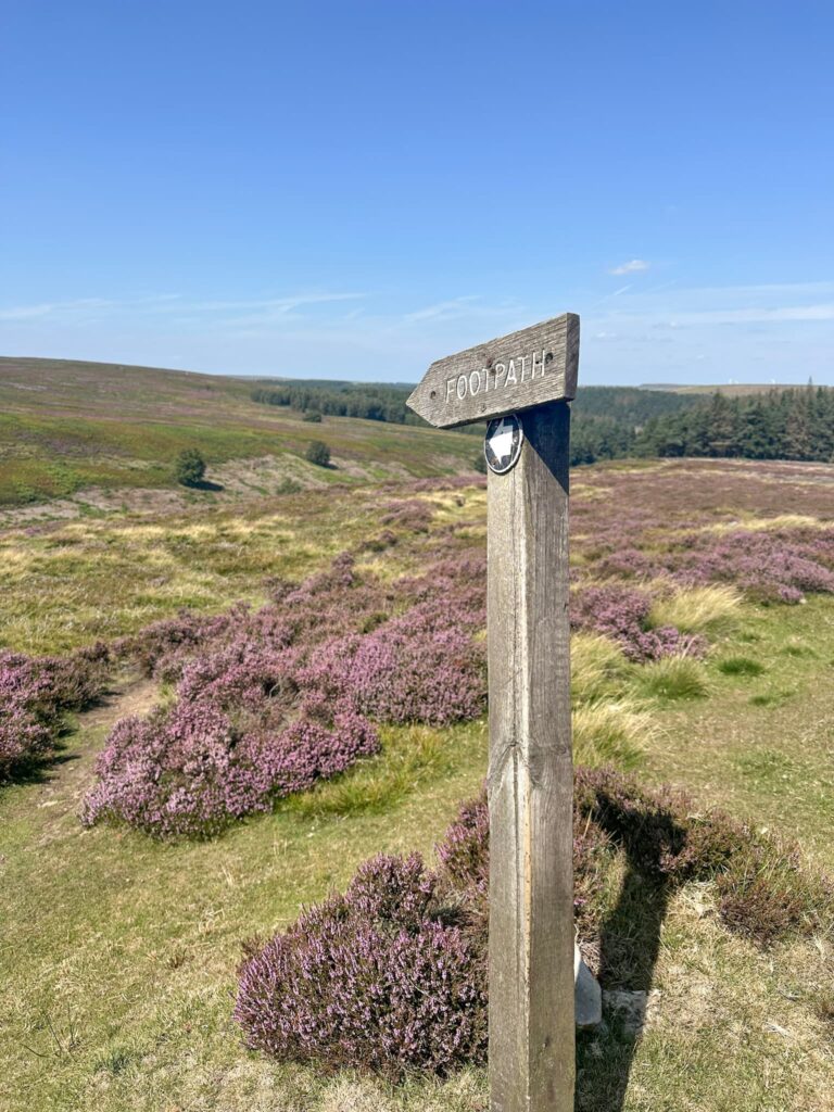
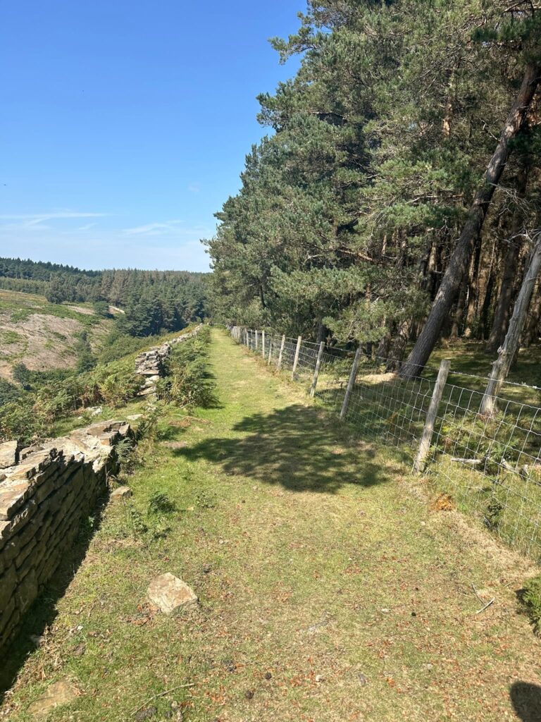
Passing the tank target, we followed the track downhill, over the bridge and then reached a concrete track. Here there’s a small wooden signpost showing the footpath. We followed this along the fenceline and then between a dry stone wall and the woodland, before emerging on Thickwoods Lane. We then followed the footpath through the woods, gradually climbing up to emerge onto a gravel track which leads to Midhope Cliff Lane.
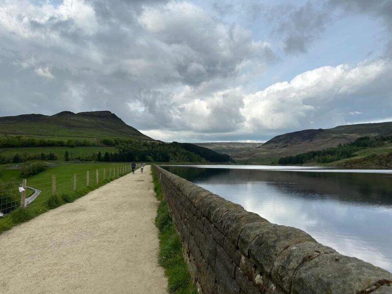
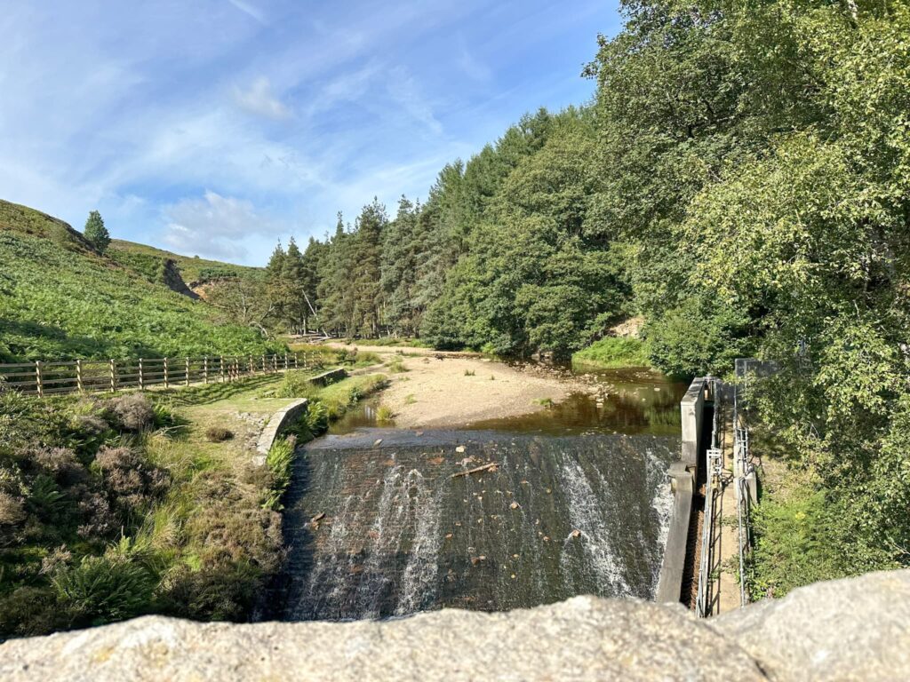
We walked across the reservoir dam wall, then turned left to follow the footpath back into the woods. The route hairpins back on itself to head back to the car park.
For more history-packed walks, you might like Peak District Plane Crashes – a collection of walks to plane wreck sites in the Peak District.
Langsett to Pike Lowe Walk Details

Walk Map (Opens in OS Maps): Langsett to Pike Lowe Circular Walk
Parking: I parked at Langsett Barn car park, A616, Langsett, Sheffield S36 9FD | W3W: bluff.track.neckline | This is free.
There is further car parking further along the A616, 250m before the Flouch roundabout | W3W: books.cobbled.skinning
Facilities: None – remember to Leave No Trace.
Dogs: Not allowed on parts of the route – see Natural England Open Access Map for restrictions.
Walk Time: 3-4 hours
Difficulty: ▲▲▲
Distance: 7.7 miles (12.39km)
Trig Points Bagged: None
Peak District Peaks Bagged: None
Peak District Ethels Bagged: None
For more walks from Langsett, why not try:
Langsett Reservoir and Langsett Moors Circular Walk | 5 Miles
Langsett Reservoir Walk | 4 Miles
Langsett to Margery Hill, High Stones and Outer Edge | 12 Miles