Hathersage Stepping Stones Walk | 7 Miles
Hathersage is a beautiful village in Derbyshire, ideally placed for Peak District walks. It’s close to popular routes like Stanage Edge and Higger Tor but is also surrounded by stunning countryside with the River Derwent. This 7 mile walk from Hathersage heads on well-made paths and trails to Abney before returning via the Hathersage Stepping Stones.

Please note – the river levels can change, and at certain times of the year the stepping stones will be underwater. You can check the water levels of the River Derwent here: https://check-for-flooding.service.gov.uk/station/2230 – I probably wouldn’t go if the water levels are over 1m as there isn’t an easy way to avoid the river crossing if they’re flooded.
This walk is inspired by a route I found in Pub Walks in Derbyshire by Charles Wildgoose.
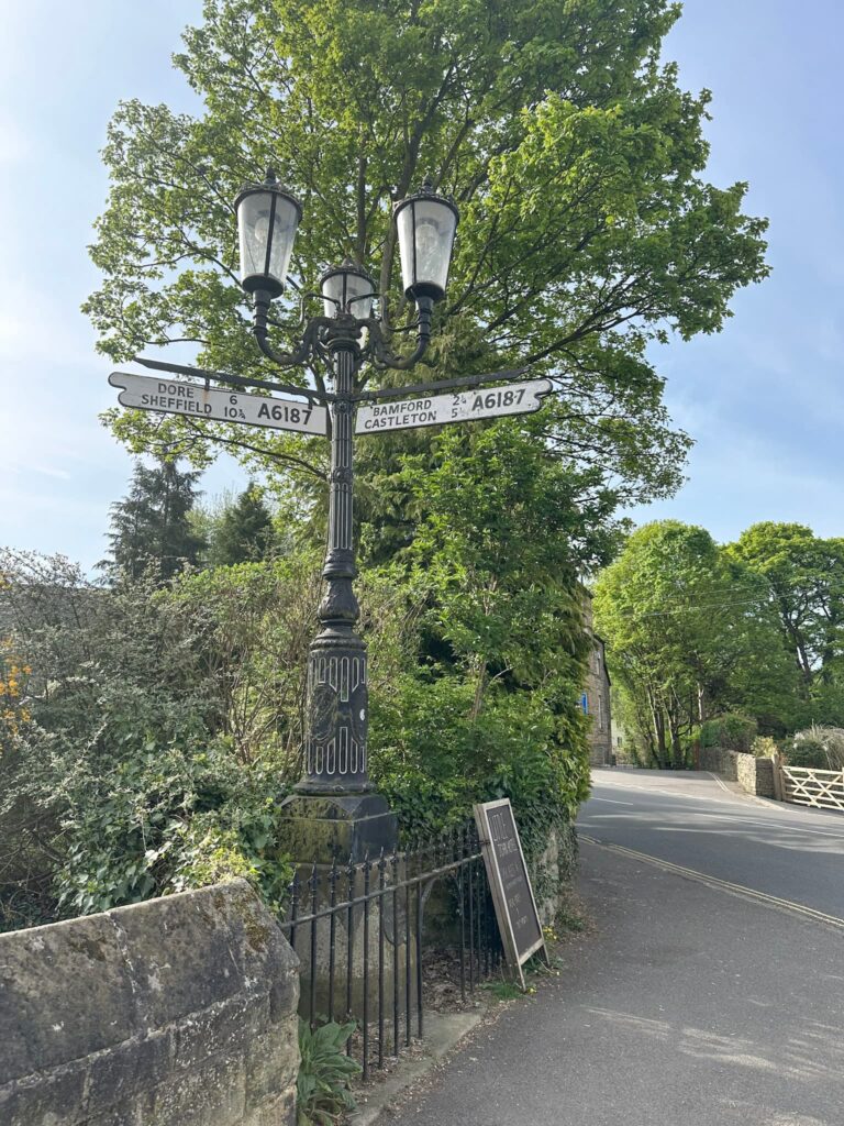
Our walk starts from the public car park on Oddfellows Road and we headed out past the church into the centre of the village where there are shops and a public loo. Opposite The George is an old signpost, and a pub called the Little John. We headed down the lane to the right of the Little John, which runs alongside a stream and under the railway bridge, eventually leading to Nether Hall Farm.

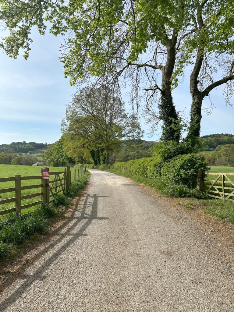
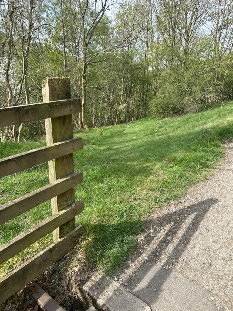
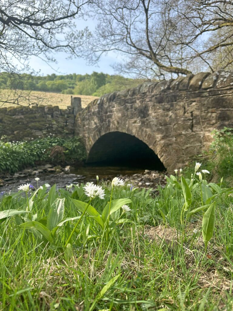
We headed down the track towards Nether Hall Farm, then took the public footpath on the left which leads to Leadmill Bridge over the River Derwent. We walked a short distance on the main road before turning right up the road opposite The Plough Inn, signposted for Abney. We walked down the wooded lane, taking the left hand fork, and then continued a short distance until we reached a cattle grid. After the grid there’s a faint footpath which runs down into the woods and to a pretty stone bridge over Highlow Brook.

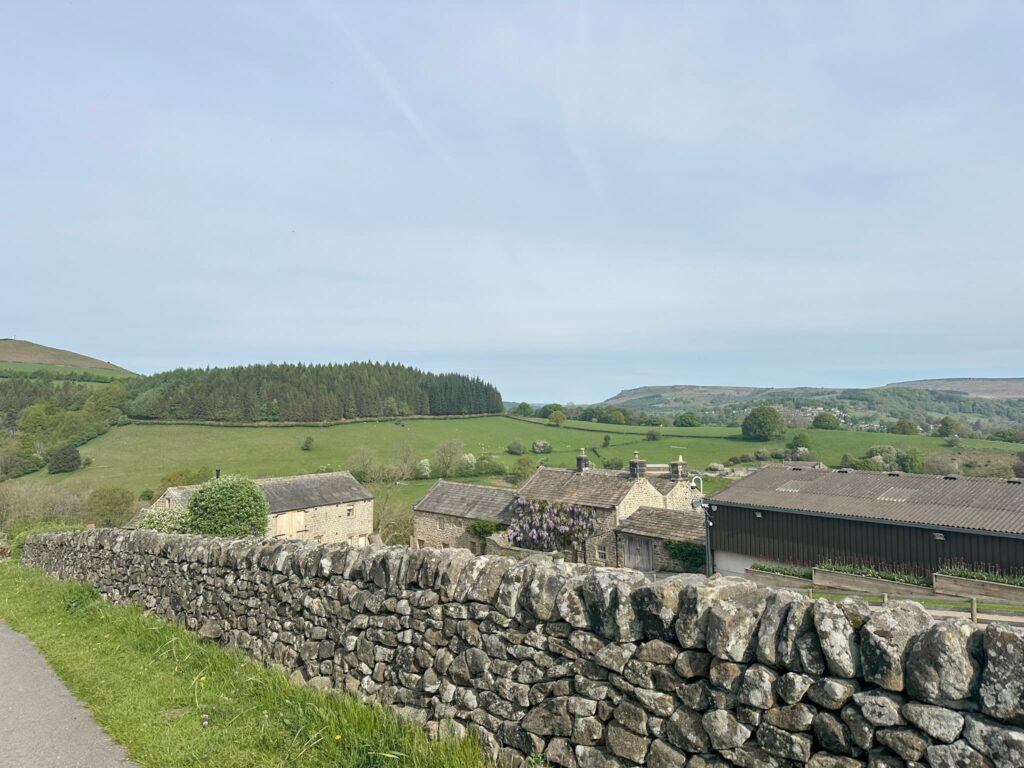
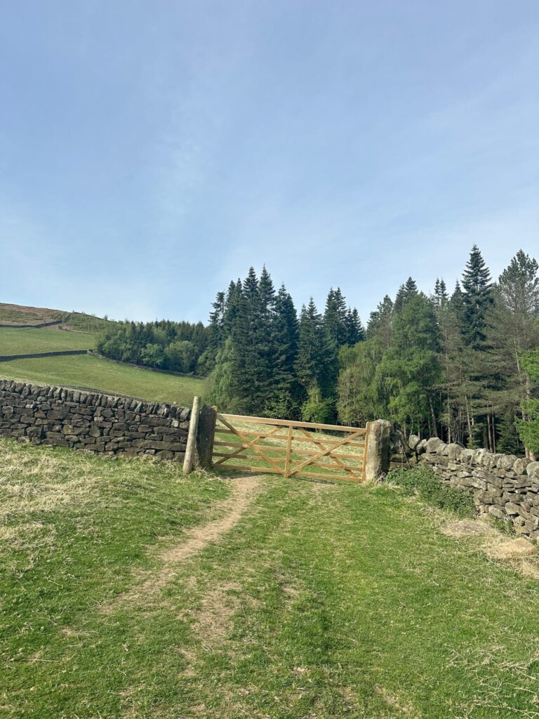
The path then climbs sharply through the fields to the top left corner and onto a track, passing Hog Hall. We turned right and walked along a lane with lovely views over to Win Hill, Bamford Edge and Stanage Edge (and Tor Farm, which had beautiful wisteria that was in full bloom). The route then heads through a number of gates and fields into some woodland where it can be very muddy – thankfully not for us!
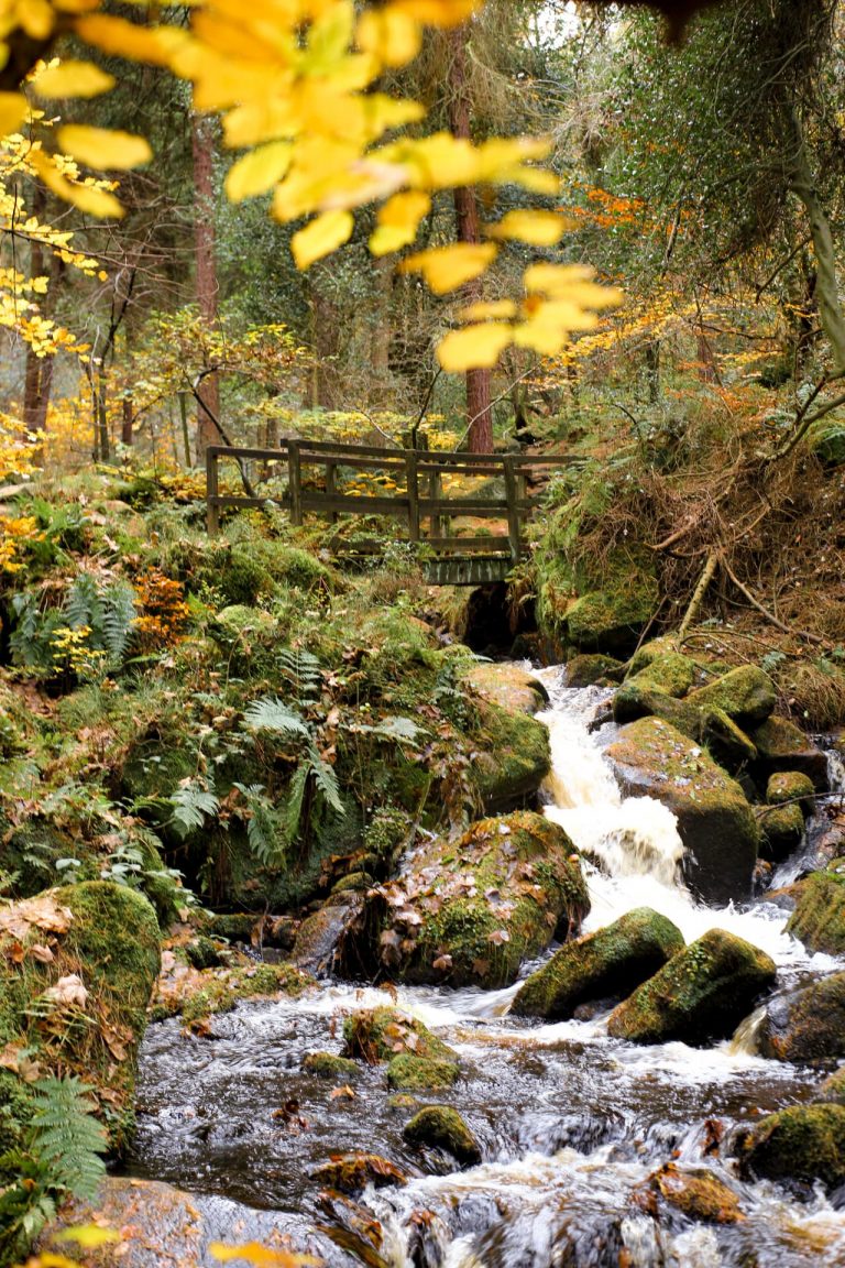
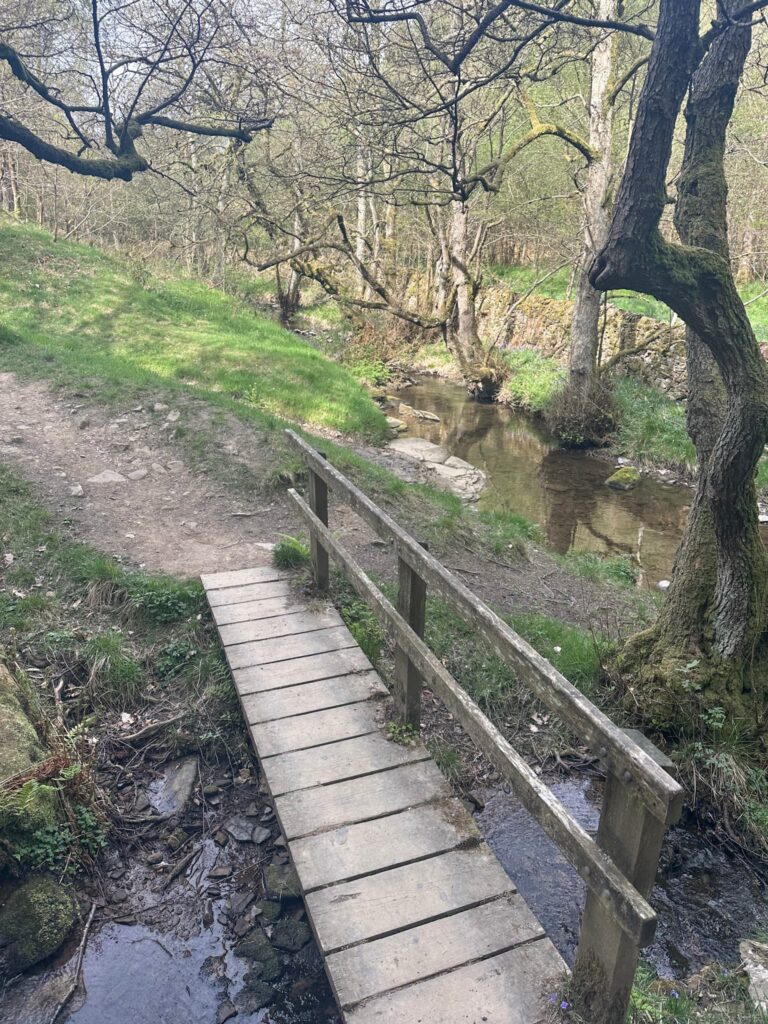
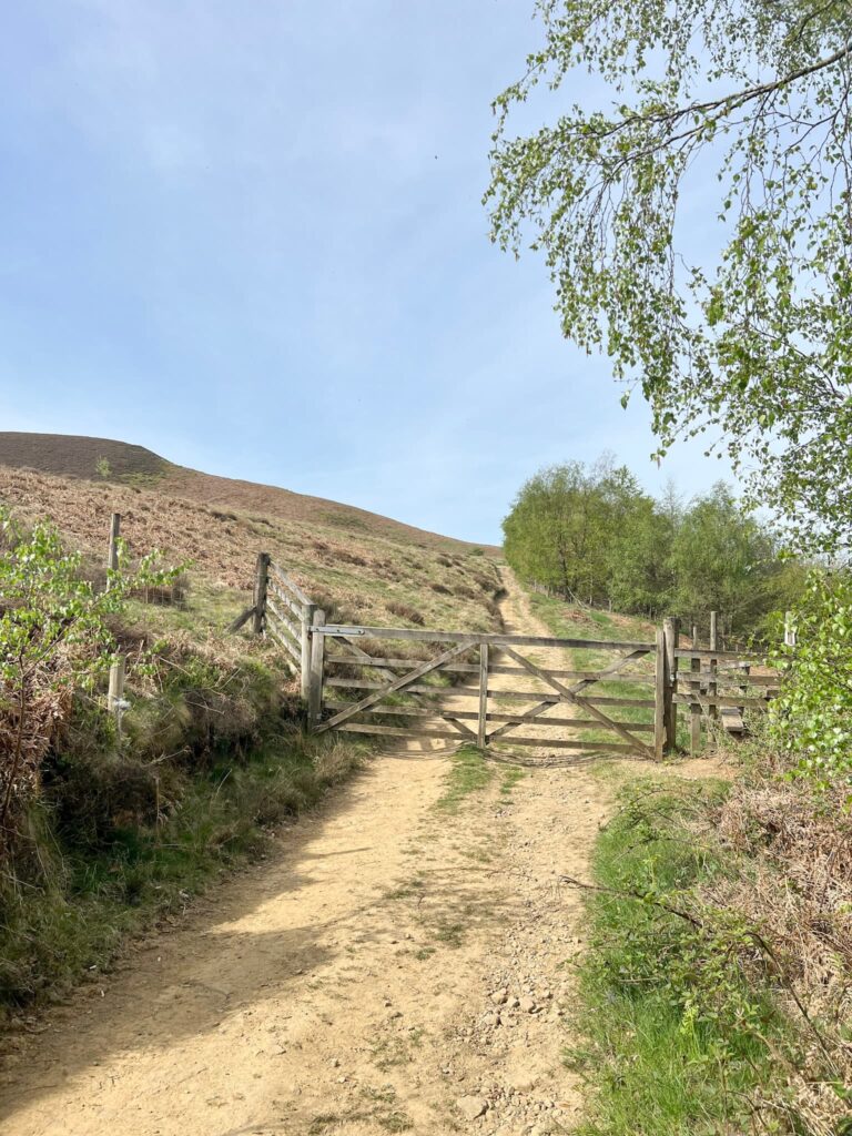
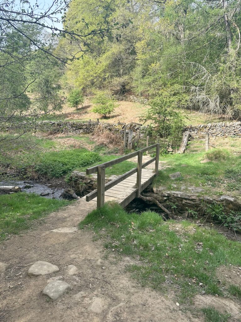
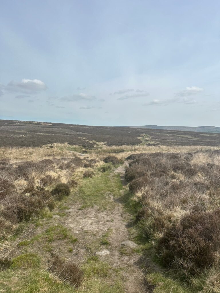
The woodland gives way to a clearing with Highlow Brook running through the middle of it. We crossed the wooden bridge, and then climbed up the track by the Peak and Northern Footpaths green sign, passing onto moorland. The route then descends back to Highlow Brook at Stoke Ford, where two streams join and there’s another PNFS green sign. One of the wooden bridges here is closed as the supporting beams are rotten, but you can cross the brook via some stepping stones.
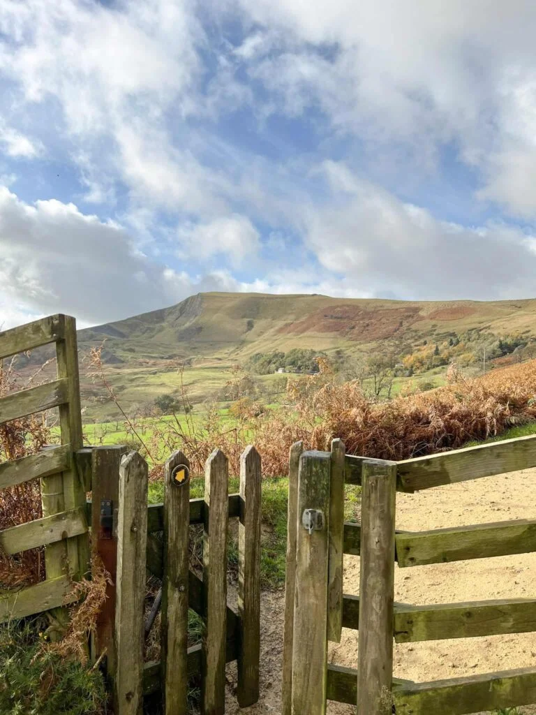
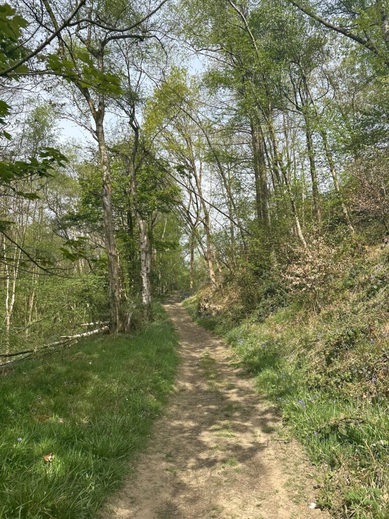
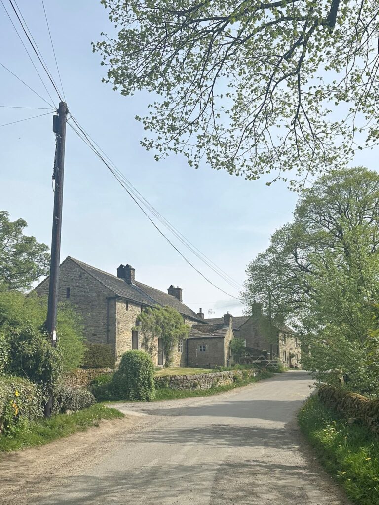
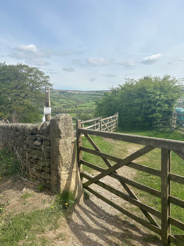
The path runs alongside Abney Brook, climbing gently through the woods before emerging in the pretty village of Abney. We turned right and walked along past the farmhouses before spotting the footpath sign on the left. The path climbs gently up to cross another footpath on Offerton Moor, before reaching Offerton Edge and its amazing views over Hathersage. The path then descends steeply down to Offerton Hall, passing over some cobbles and out onto a tarmac lane.
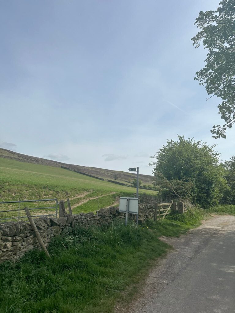
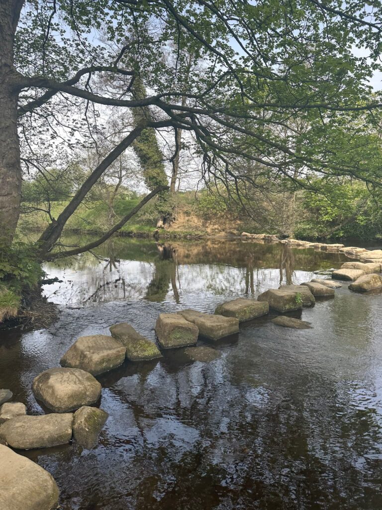
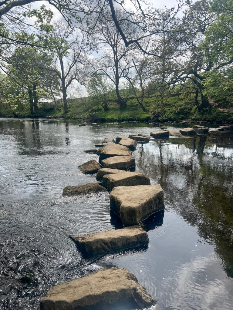
Passing the buildings, there’s a public footpath on the right hand side which leads over the fields to the Hathersage stepping stones over the River Derwent. We crossed the stepping stones and then turned right, following the path up to the main road.
** If the stepping stones are flooded, you can turn right along the river path which will take you to Leadmill Bridge, and you can retrace your steps back to Hathersage from there. **
We crossed the road and then the railway using the big metal bridge. The path then runs through a field and out onto Jaggers Lane. Turning right down Jaggers Lane, we headed back into Hathersage and back to the car.
There are lots of pubs, cafes and restaurants in Hathersage, making this a great Derbyshire pub walk.
You can make this a shorter walk by reversing the route and heading to the stepping stones, and then back.
Hathersage Stepping Stones Walk Map:

Walk Map (Opens in OS Maps): Hathersage Stepping Stones Walk
Parking: Oddfellows Road, Hathersage S32 1DU – pay and display via parking app. W3W:///protect.sparkles.pranced
Facilities: There are public toilets, cafes, shops etc in Hathersage. There are none on the trail, so take all your rubbish home with you.
Walk Time: 2-3 hours
Difficulty: ▲▲
Distance: 6.8 miles (10.9km)
Trig Points Bagged: None
Peak District Peaks Bagged: None
Peak District Ethels Bagged: None
For more walks from Hathersage why not try:
Jane Eyre Trail – Hathersage | 5 Miles
Bamford Edge, Stanage Edge, Higger Tor, Surprise View | 15 Miles
and check out all the Peak District pub walks!
For more walks with stepping stones, try Chee Dale Stepping Stones Walk | 4 Miles and Dovedale and Thorpe Cloud Walk | 7 Miles