Alport Castles and Boulton-Paul Defiant on Rowlee Pasture | 8.5 Miles
This walk starts from Fairholmes and heads up onto the moors to discover the wreck of the WW2 plane Boulton-Paul Defiant N1766 which crashed in 1941. It also explores Alport Castles, the largest landslip in the UK. At 8.5 miles this route involves some off path wandering to the plane crash site of the Defiant on Rowlee Pasture.
Walk Overview
- Distance: 8.5 miles
- Difficulty: Moderate – there are some steep climbs and off path sections on open moorland
- Start/finish: Fairholmes Car Park, Fairholmes, Bamford, Hope Valley S33 0AQ
- Points of Interest: The remains of a WW2 plane, the largest landslip in the UK, moorland walking with amazing views.
- Parking: Fairholmes Car Park S33 0AQ – £7 all day, cash or card.
- Terrain: Woodland paths, pathless moorland, farm tracks and country lanes
- Good for: Walkers who are able to navigate confidently, people who enjoy WW2 history and who enjoy being on the vast expansive moors above Derwent Reservoir.
Walk Highlights
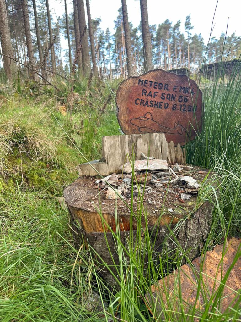
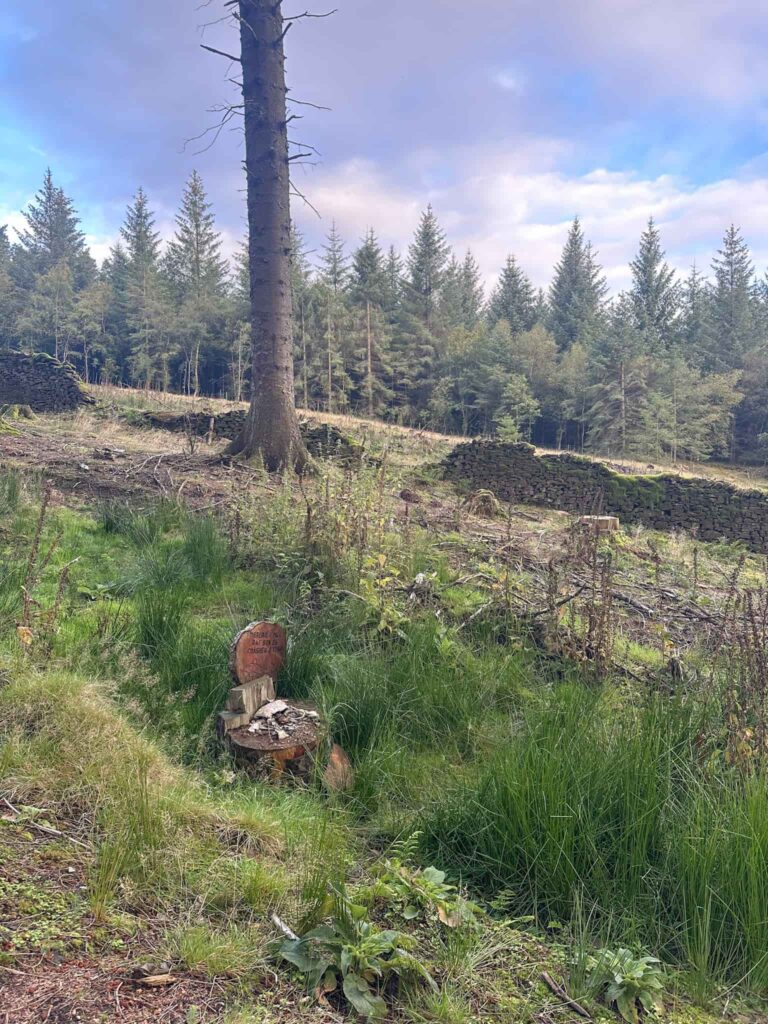
Gloster Meteor Fmk 4 RA487 Crash Site – The Meteor crashed in 1950 – with a failed radio and relatively low fuel the pilot Sgt Joseph Harrington opted for a bale out. Little remains of the plane itself but there is a memorial to the plane.
Gloster Meteor Fmk 4 RA487 Grid Reference: SK16583 89046
Boulton-Paul Defiant on Rowlee Pasture – The Defiant N1766 crashed on 13 April 1941 when returning from a night navigation exercise. Problems with the engine and wireless, and a bank of lowering cloud, forced the crew to bale out before the plane crashed onto Rowlee Pasture.
Boulton-Paul Defiant N1766 Grid Reference: SK15286 90495
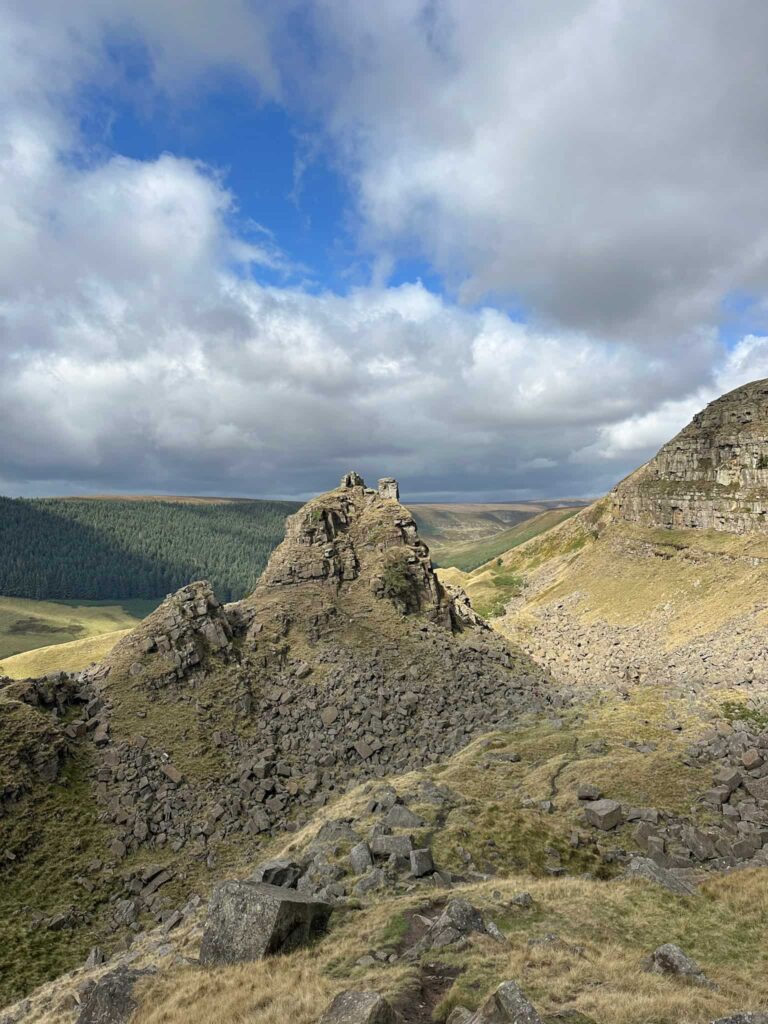
Alport Castles – The site of the biggest landslide in the UK, being over half a mile long. There is a huge chunk of land which has fallen from the main hillside and now has a really rocky outcrop, looking like a ruined castle from a distance, hence its name The Tower. This is a Grade 1 scramble.
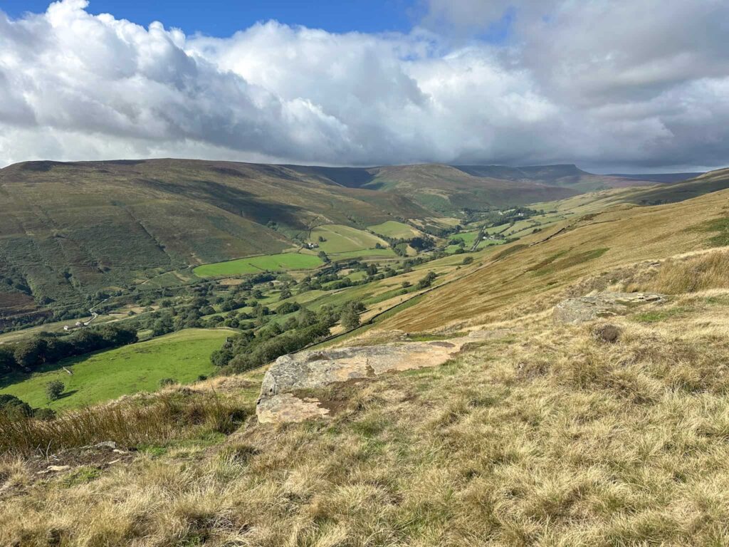
A varied route – combining high moorland walking with a gentler valley bottom return, giving a real taste of the Upper Derwent’s changing landscape
Walk Details
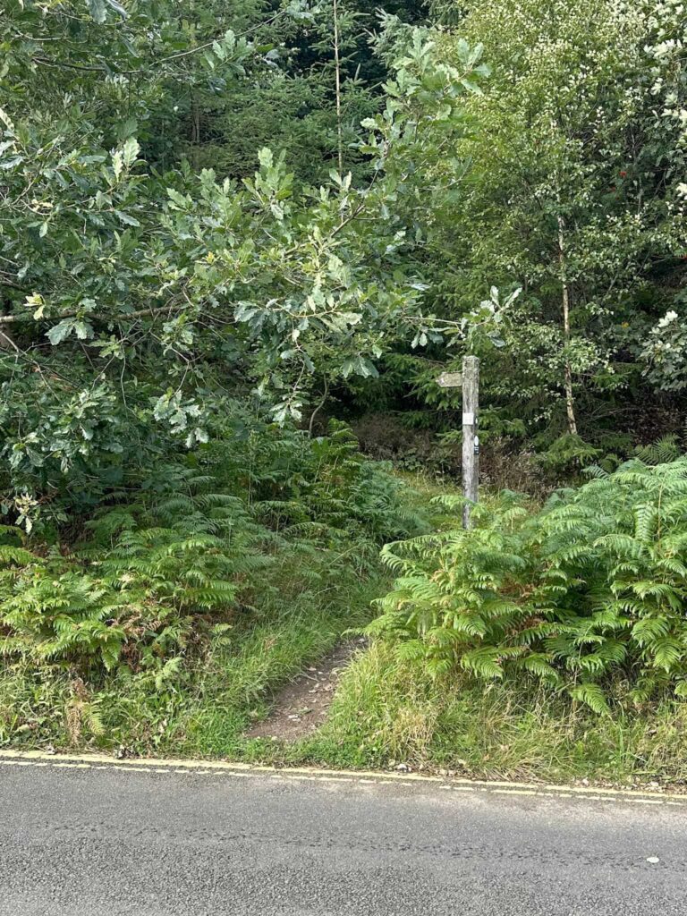
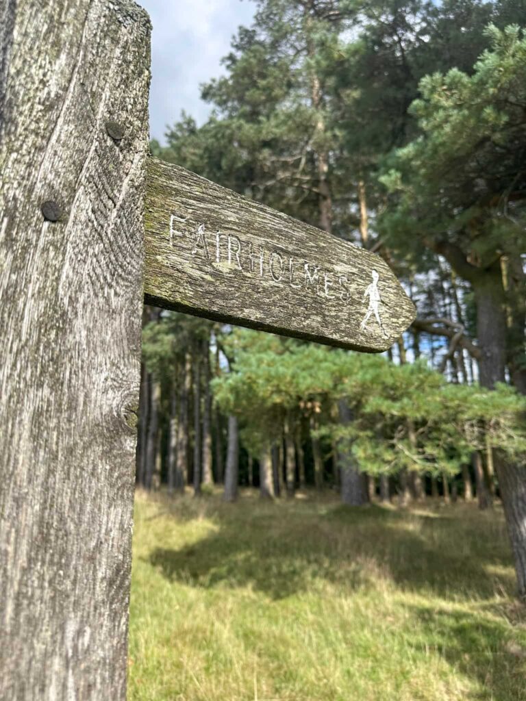
The walk starts from Fairholmes car park. We parked on the upper level so walked out through the car exit, and turned left to walk a short distance along the road. Across the road is a wooden footpath signpost leading up into the woods.
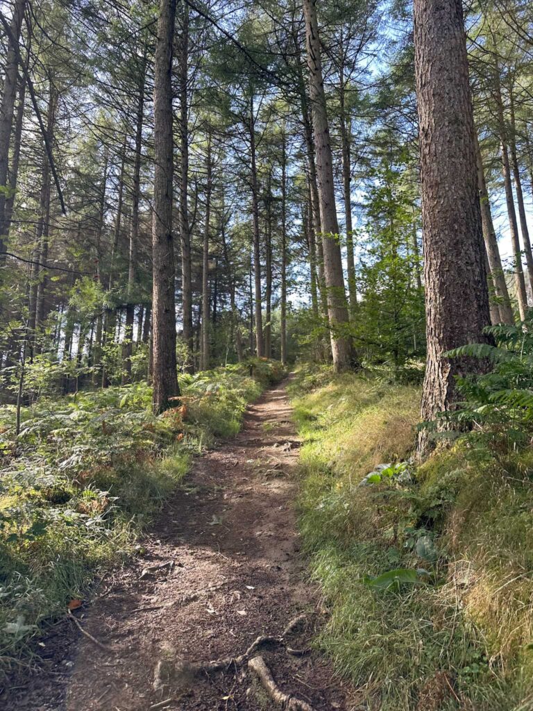
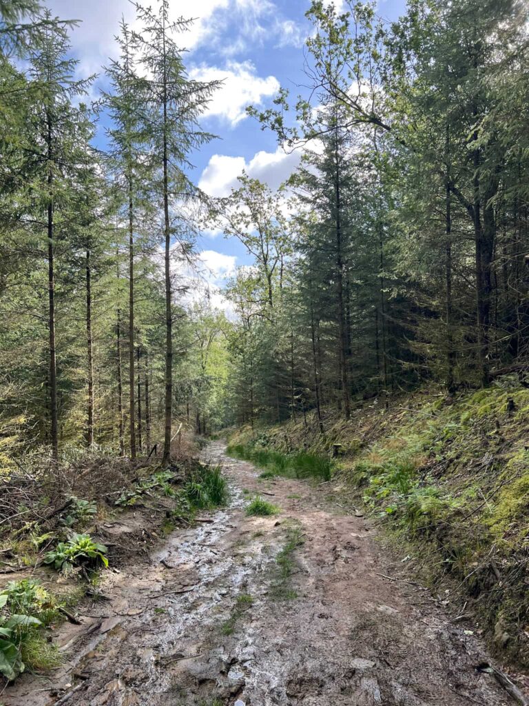
We followed this path as it climbed up through the wood until it joined a forestry track, and then turned right to follow this track as it continued up the hillside. After about 0.4 miles we left the path in search of the first plane crash site, that of the Gloster Meteor.
There is a memorial just off the path – it’s hard to see from the path as it’s in a dip. It took me two visits to find this, and I think I walked past it without noticing it on the first one!
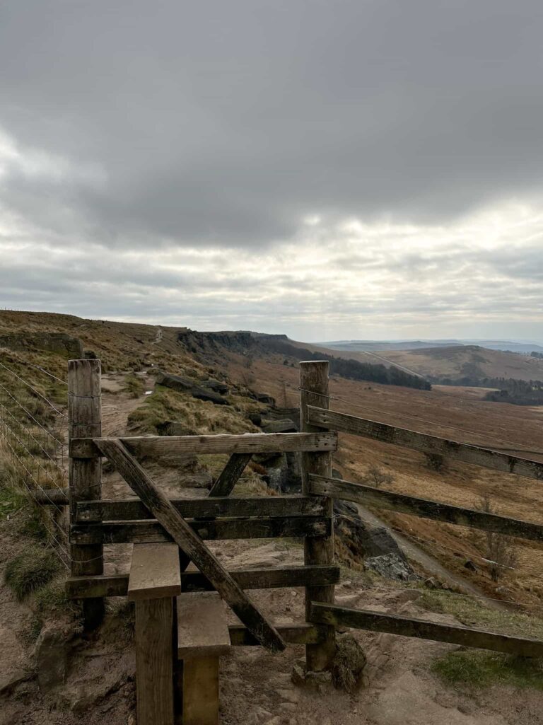
We rejoined the path and continued up the hillside to reach a stile. Over the stile and straight forward, we walked up onto Rowlee Pasture. There is a big ladder stile here.
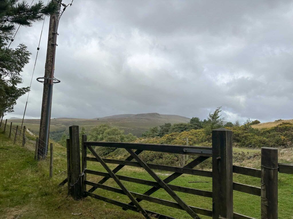
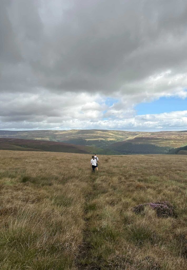
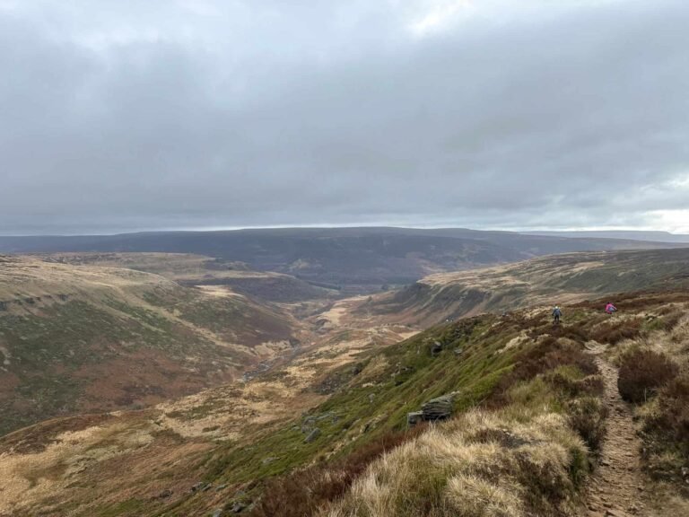
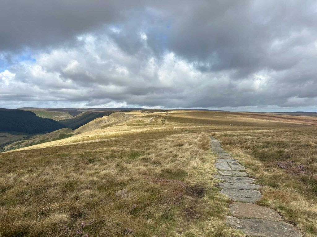
We followed the gentle climb of the path for around 0.8 miles before leaving the path and heading off onto the moors to find the crash site of the Defiant. This is about a quarter of a mile away – beware the wet, tussocky moorland! There is a very faint path in places but not all the way.
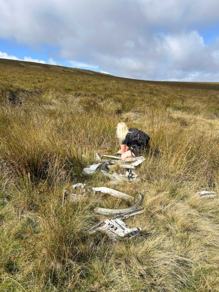
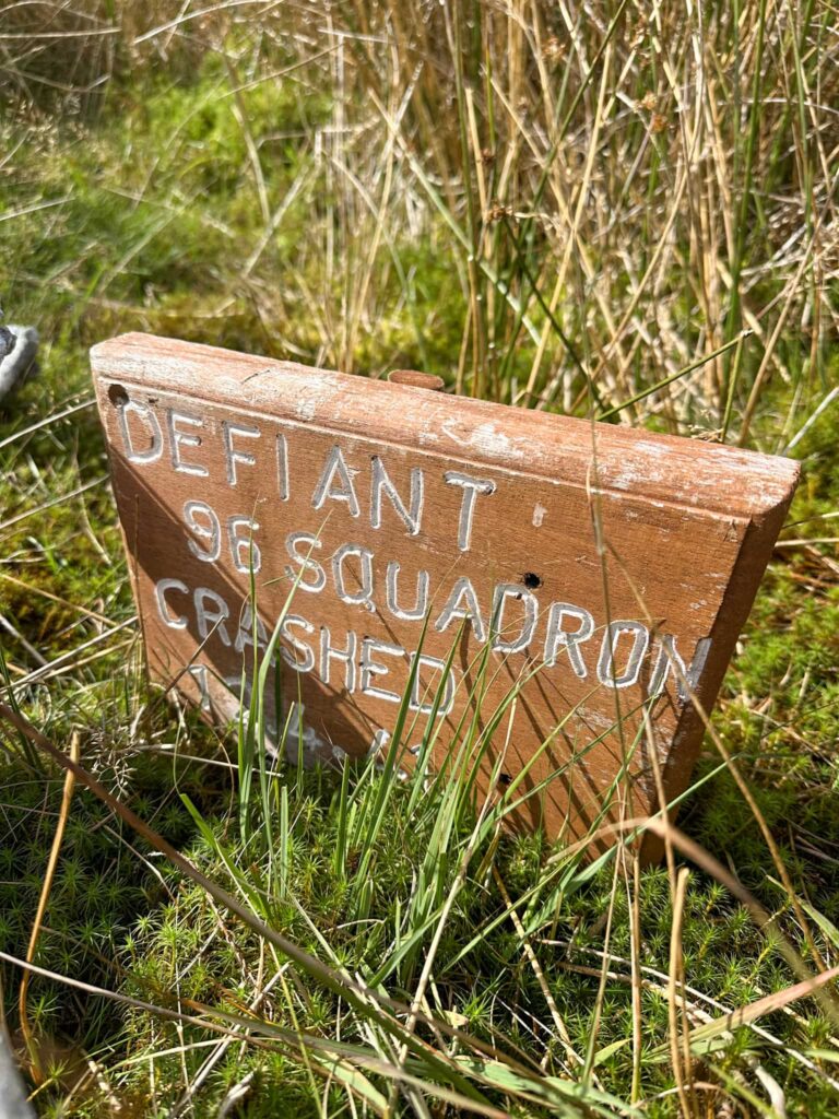
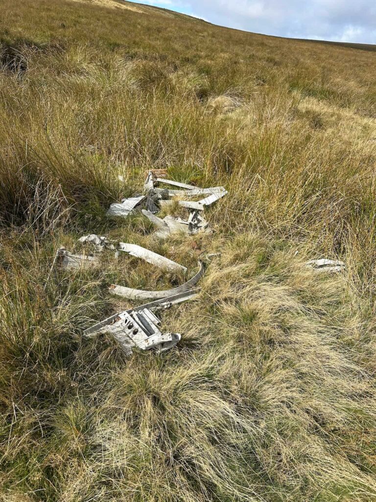
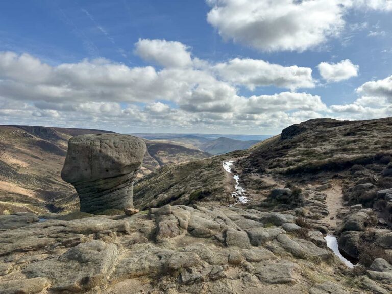
We returned to the path and followed this for around 0.8 miles to the top of the landslip. Here we dropped down into the little valley and walked over the rocky boulders to the foot of The Tower.
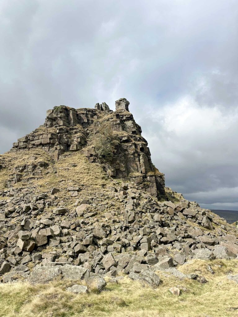
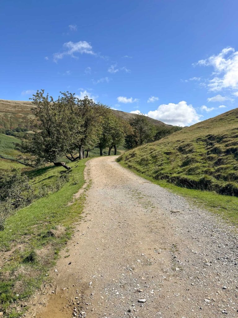
The route then turns away from The Tower and heads through the boulder field, crossing a fence and joining a path which runs steeply downhill to Alport Castles Farm. We crossed the river and climbed up to the farm, and then turned left to follow the farm track to a Peak and Northern Footpaths Society sign (71) for Alport Hamlet.
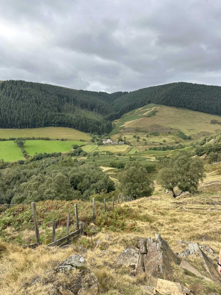
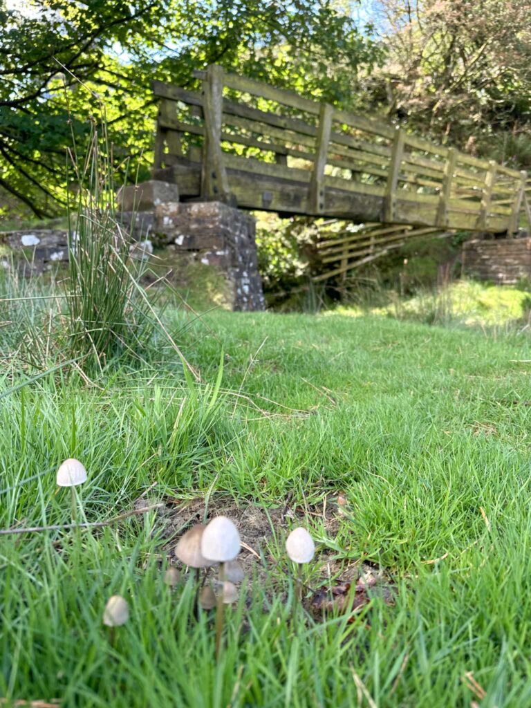
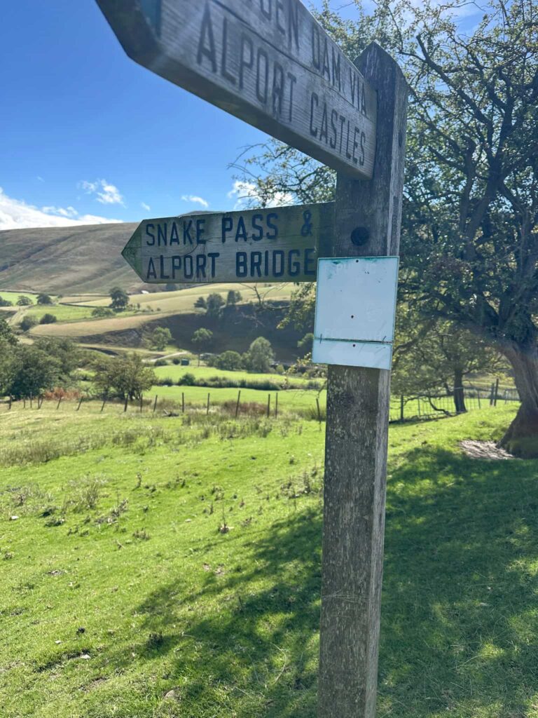
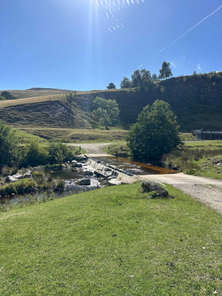
We walked down the field, over the stile and then crossed the A57 to head down to Alport Bridge. You can either cross the river using the ford if it’s not too deep or use the large bridge. I went through the ford but I don’t mind wet feet!
The route then runs through the field and the gate to Blackley Hey, where it follows the track down the hill to Rowlee Bridge, a beautiful old stone bridge crossing the River Ashop. I couldn’t get a photo though as there were lots of people enjoying a paddle.
We followed the road up to meet the A57. We crossed the A57 again and followed the farm track up towards Rowlee Farm. There is a steep climb up to Pasture Tor and the road continues along past Bellhagg Barn before turning to the north and heading back towards Woodcock Coppice.
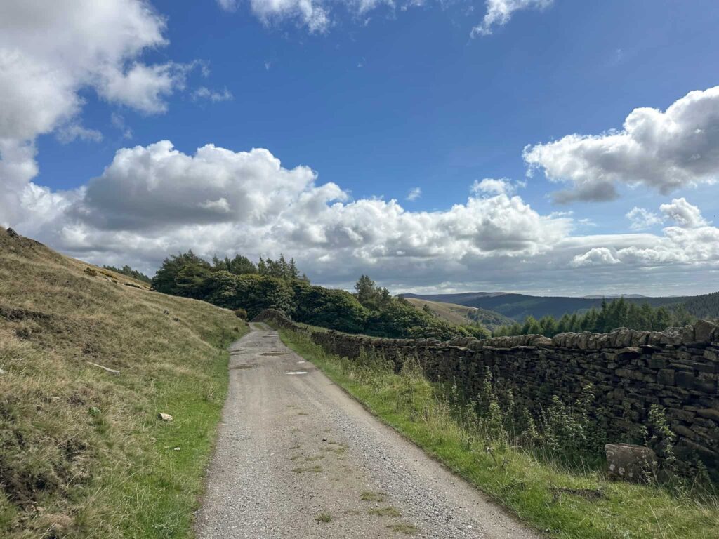
We headed back over the stile and through the wood, and retraced our path back down through the woods to Fairholmes again.
We had lunch from the cafe kiosk at Fairholmes, then jumped in the car and went to The Strines Inn for a drink (and to see the peacocks).
This was a great walk with lots to explore, amazing views and varied terrain.
Walk Map (Opens in OS Maps): Alport Castles and Boulton-Paul Defiant on Rowlee Pasture Walk
Parking: Fairholmes Visitor Centre, Fairholmes, Bamford, Hope Valley S33 0AQ (W3W//: sandpaper.unhappily.palace) which is a pay and display car park costing £7 for the day as of September 2026. Alternatively there is a pay and display layby at ///life.crank.dealings which is nearby.
Facilities: There are toilets and a cafe at Fairholmes.
Walk Time: 4-5 hours
Difficulty: ▲▲
Distance: 8.5 miles (13.67km)
Trig Points Bagged: None
Peak District Peaks Bagged: None
Peak District Ethels Bagged: None
You might also like: