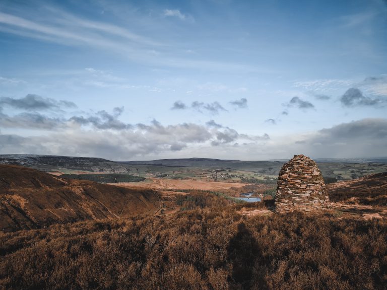
Marsden 3 Peaks Walk | 10 Miles
If you’re after big views on a big moor, the Marsden 3 Peaks is hard to beat. This 10 mile route out on Marsden Moors takes in Pule Hill, Standedge Edge, March Hill and Cupwith Hill, stringing together some of the finest moorland scenery this corner of the Pennines has to offer. Expect wide open skies, heather-clad slopes and those classic gritstone views stretching out across the South Pennines, plus two trig points along the way for anyone who likes to bag a summit marker or two. It’s a brilliant walk, and well worth a trip out.

Marsden 3 Peaks Walk Overview
- Distance: A 10 mile route across the Marsden Moors, best suited to walkers with a reasonable level of fitness
- Terrain: Exposed moorland paths, ranging from clear tracks to boggier ground underfoot, especially after rain
- Ascent: Undulating climbs across all the peaks rather than one steep summit push
- Footwear: Sturdy walking boots recommended given the mix of moorland and boggy sections
- Shelter: Little natural shelter along the route, so check the forecast and pack for exposed conditions
- Trig points: Two trig points (Standedge Edge and Cupwith Hill) to bag en route, ideal for peak baggers
- Views: Sweeping South Pennines and Marsden Moors views throughout, best enjoyed on a clear day
- Best for: Walkers looking for a moorland adventure combining distance, elevation and standout Marsden Moors scenery
Route Highlights
- Pule Hill, with its distinctive profile and far-reaching views back over Marsden village
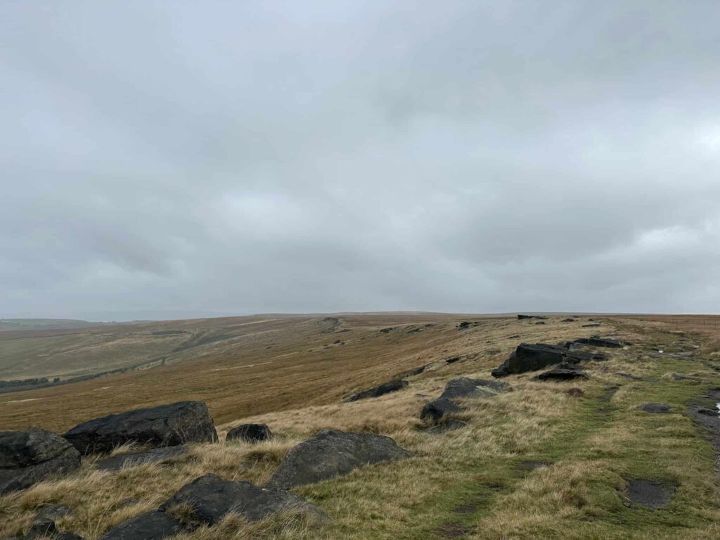
- Standedge Edge, a dramatic gritstone escarpment with some of the best views on the whole route, and home to one of the two trig points
- March Hill, a great spot to stop for a breather and views over March Haigh Reservoir
- Cupwith Hill and its reservoir, a peaceful area of wilder moorland
- Two trig points to bag along the way, perfect for anyone who enjoys ticking these off
- Wide-reaching views across Marsden Moors and the South Pennines throughout the walk
We parked on street on Reddisher Road, near to the top of the lane leading down to Standedge Tunnel Visitors Centre. From here we followed Ainsley Lane south, climbing up to meet Manchester Road.
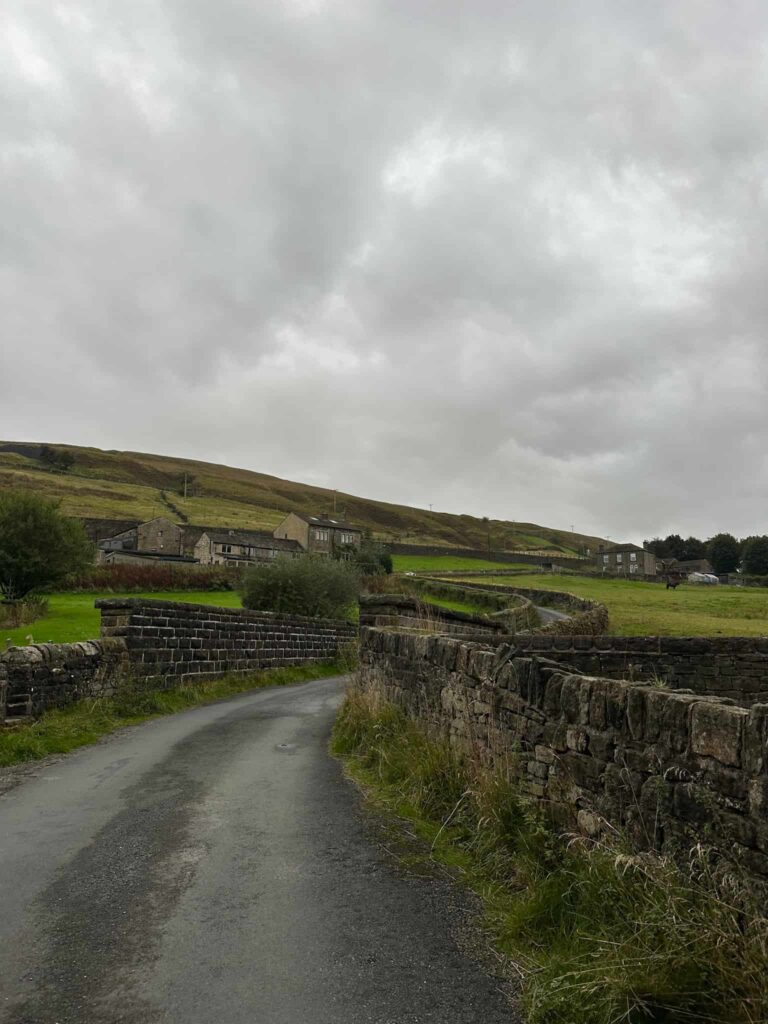
Crossing the main road, the path follows a rough track up the hillside. Just before the track opens up into a parking area there’s a footpath to the right, which climbs up steeply onto the moors and leads up to the Marsden war memorial on Pule Hill.
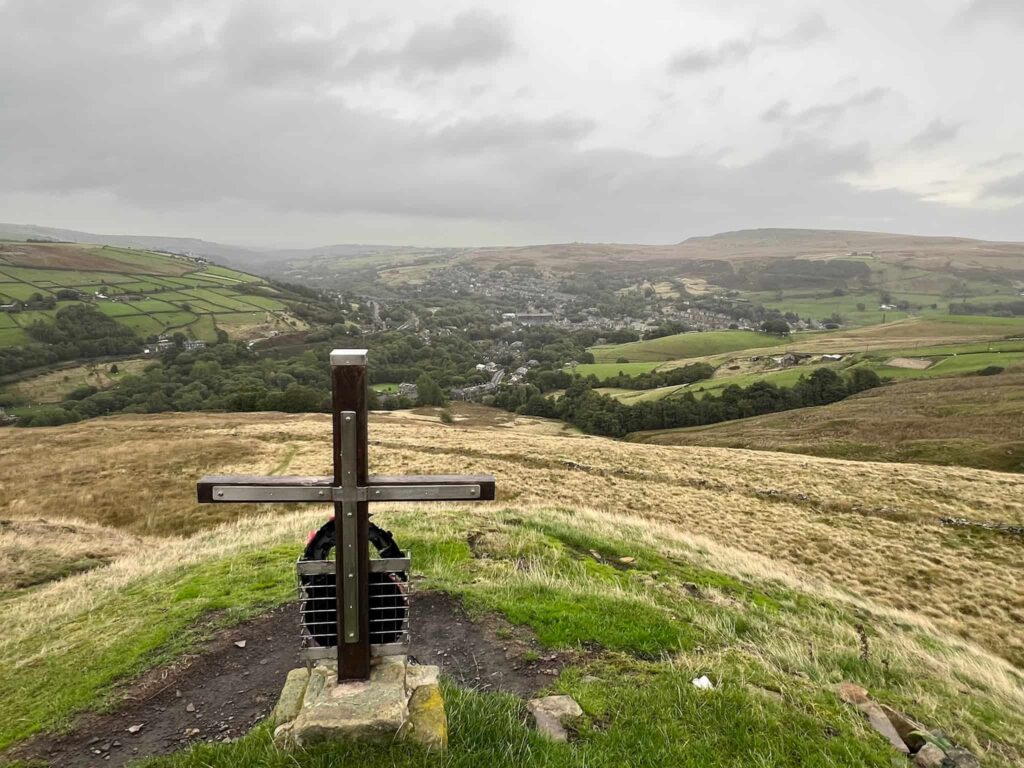
Passing the war memorial, we walked past the ventilation shaft for Standedge Tunnel which runs under the moors from Tunnel End to Diggle. Standedge Tunnel is Britain’s longest, highest and deepest canal tunnel. It stretches over three miles, sits nearly 200 metres underground at its deepest point, and reaches around 196 metres above sea level. It took a mammoth sixteen years to build and finally opened in 1811, so walkers crossing the moors above are literally treading over a real feat of Victorian engineering.
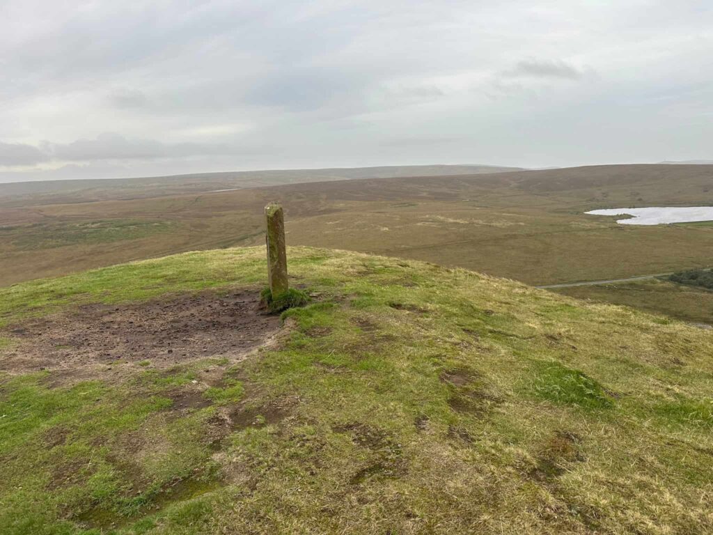
The route continues climbing, passing the top of Pule Quarry, and soon reaches the top of Pule Hill. Pule Hill isn’t just a great viewpoint – it’s also home to the remains of a Bronze Age burial site, once described as one of the most important prehistoric sites in the whole Huddersfield area. Its name is thought to come from old English and Celtic words meaning pool or marsh, so Pule Hill essentially translates as “the hill in the marsh.” On a wet day, it can definitely feel that way!
We passed the summit and walked down the steep path to then cross Mount Road. On the moors again, we picked up the footpath that runs past Redbrook Reservoir and crossed Manchester Road again.
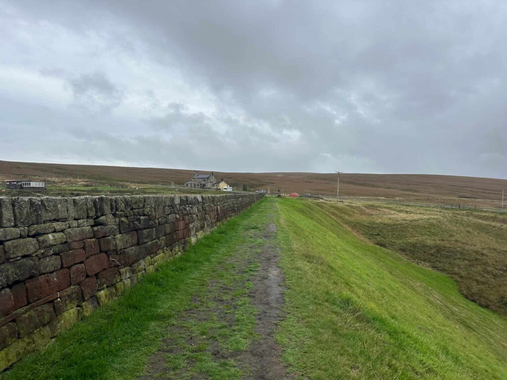
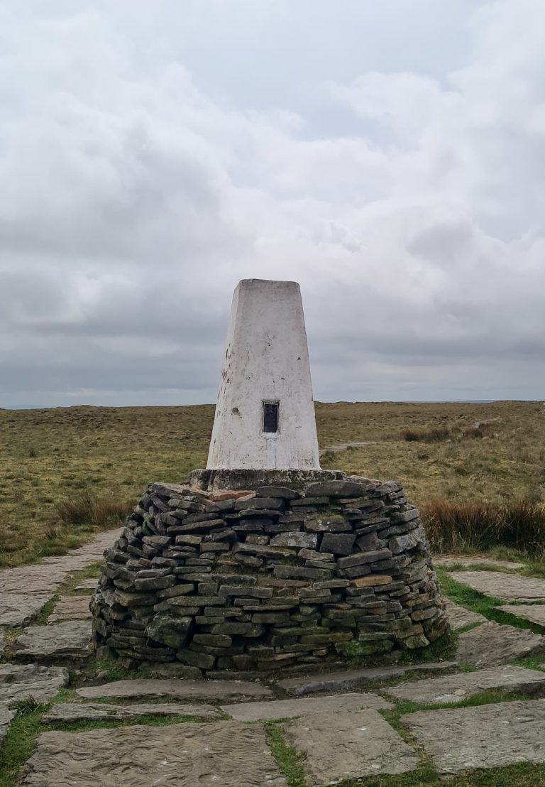
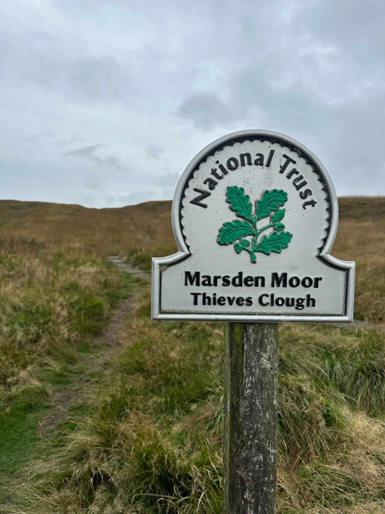
The route climbs gently up Thieves Clough and heads through a gate before joining the Pennine Way at a wooden signpost. We turned right and headed north-west along the Pennine Way to Millstone Edge and the Standedge Edge trig point at 448m, then continued along the edge for about 1.7 miles.
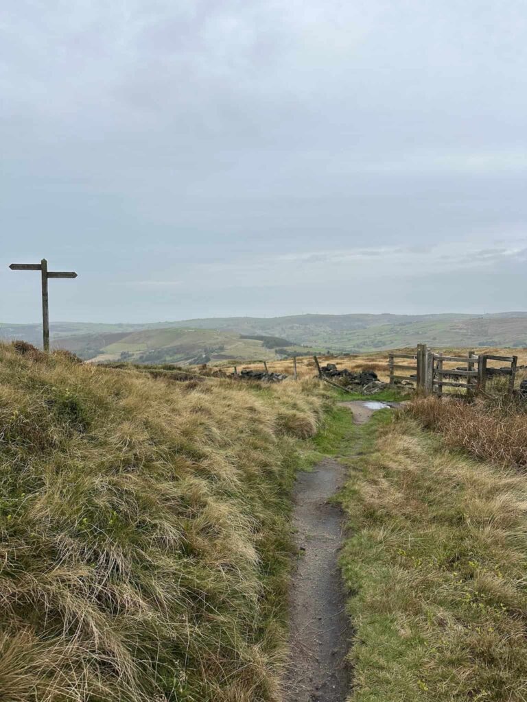
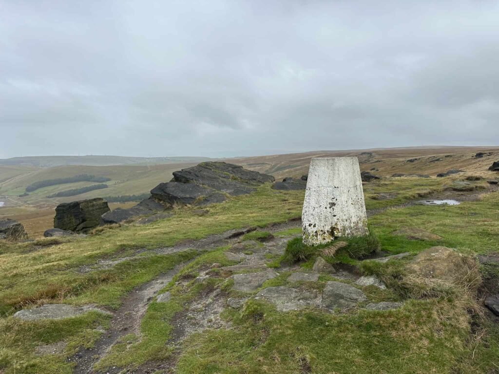
We kept right at the fork and passed the marker (put up in 1907) for the old packhorse route over the moors. Crossing this route, we followed the rough grassy path (boggy in places) leading to March Hill.
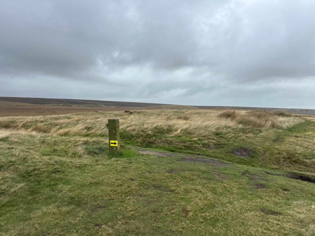
March Hill may look unassuming but it is one of the country’s most important Mesolithic sites, with archaeologists uncovering flint tools and ancient hearths beneath the peat, evidence of hunter-gatherer communities living here thousands of years before the Bronze Age even began.
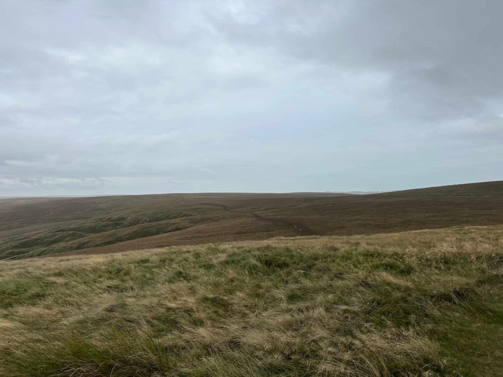
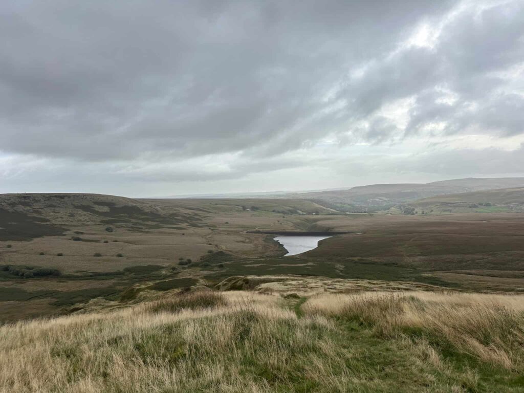
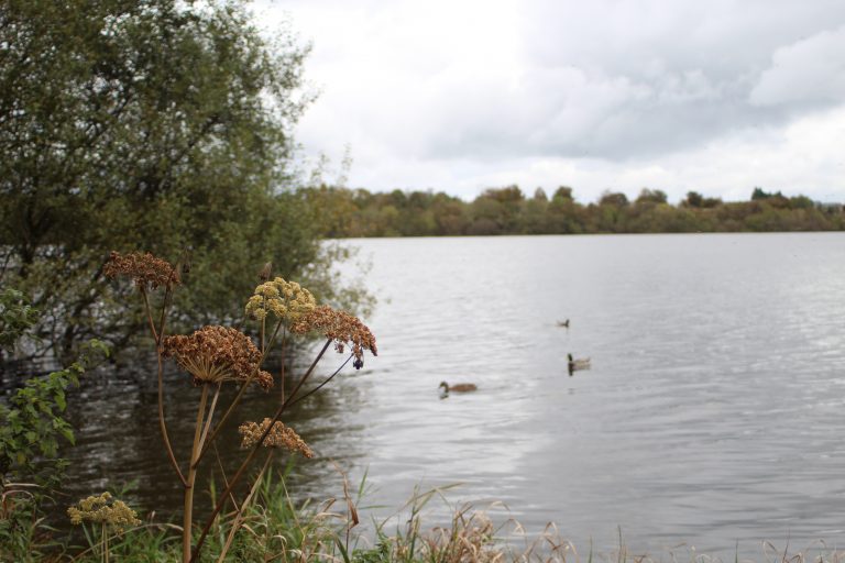
The route continues down the east face of March Hill, with views to March Haigh Reservoir which was opened in 1841 to supply water for the Huddersfield Narrow Canal.
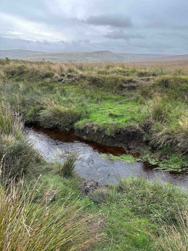
At the edge of the reservoir, the path turns sharply north, crossing two streams, and heads up the hillside to a fence. Following the fence line, the path turns east and gets a bit faint in places through the bracken but crosses Hard Head Clough and the wet Burne Moss before reaching Cupwith Hill, and the second trig point at 426m.
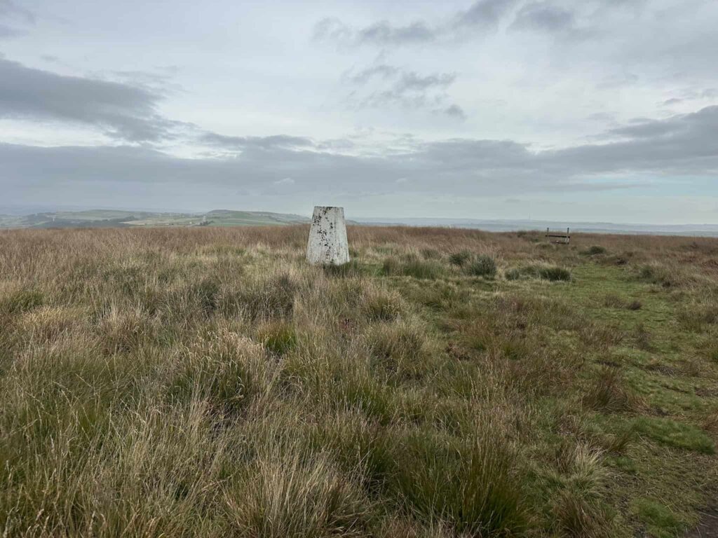
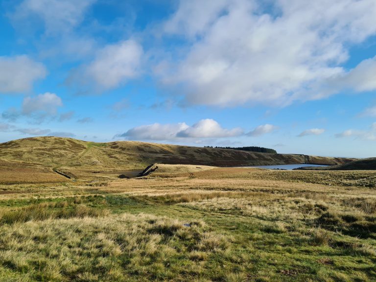
Cupwith Hill doesn’t come with the same depth of recorded history as its neighbours, but it does give its name to the peaceful Cupwith Reservoir below, one of several built across Marsden Moor to supply water to the mills of the Colne Valley.
From the trig point, you have a couple of options for the route. The path we took runs over the moor, from stile to stile, and then to the corner of the reservoir but was quite hard going, with a very faint path as well as hidden bogs and tussocks ready to trip you up. An easier option would be to head towards New Hey Road and then pick up the Kirklees Way, which is a really decent track passing the eastern side of Cupwith Reservoir.
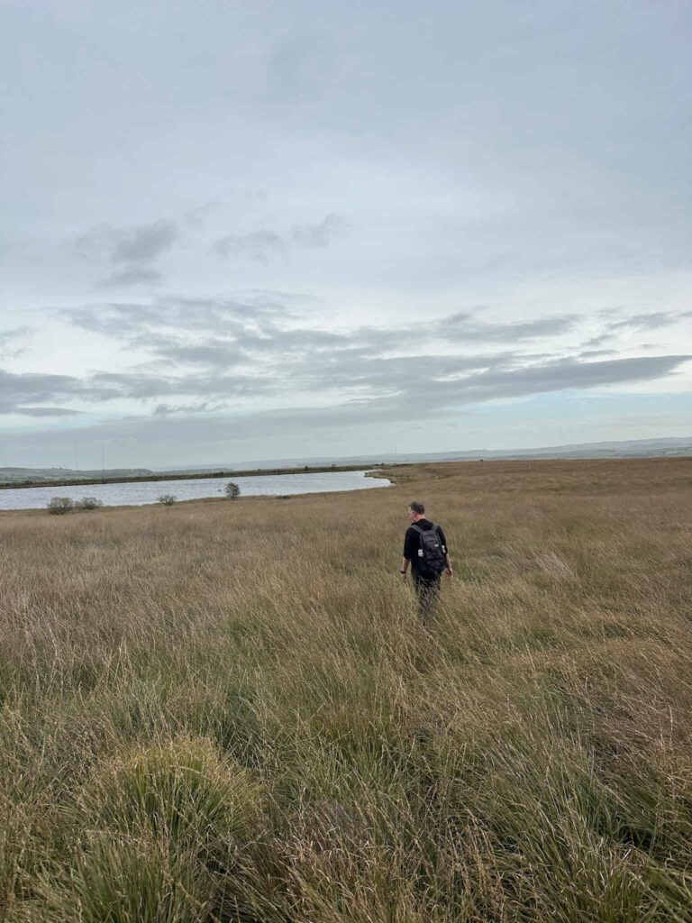
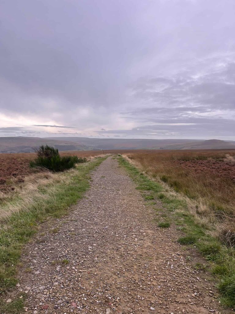
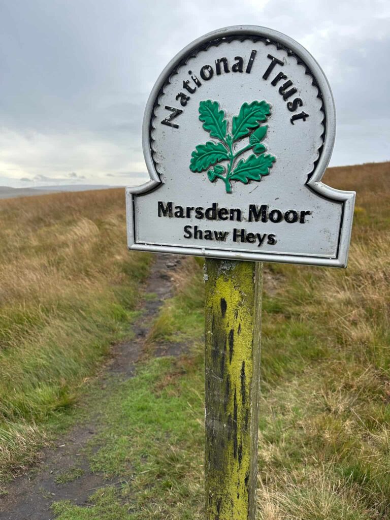
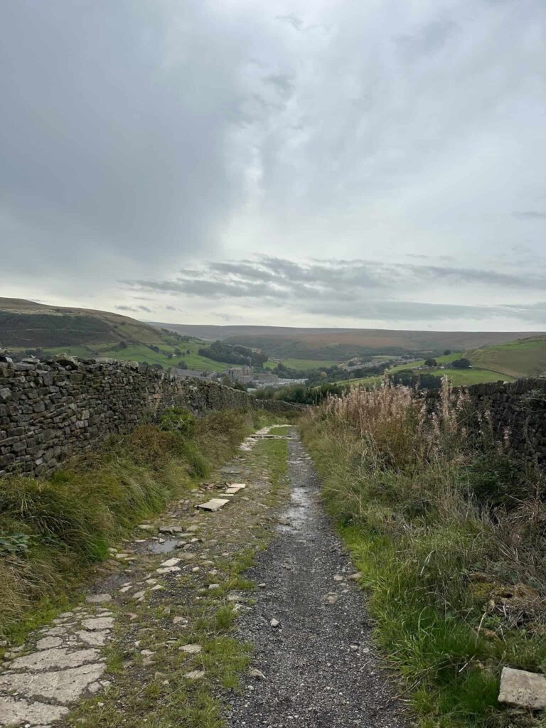
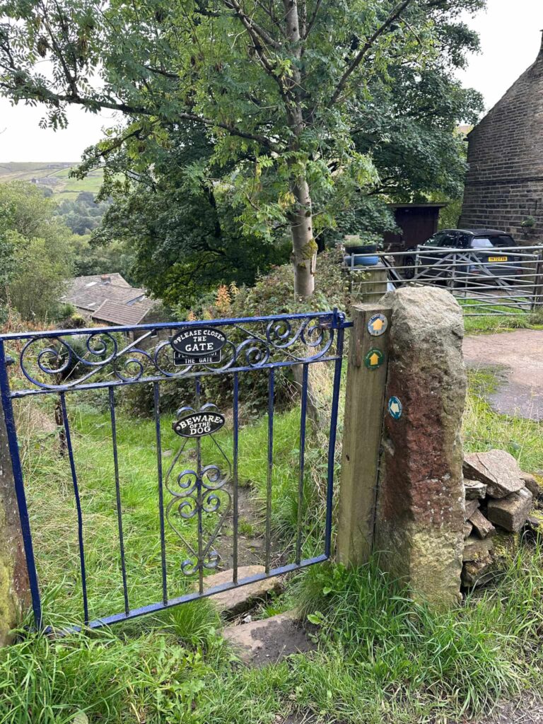
The path leads over Shaw Heys down to Huck Hill Lane and descends steeply, before arriving at a blue gate. The footpath runs through the garden and onto the drive, before heading out onto Reddisher Road and back to the car.
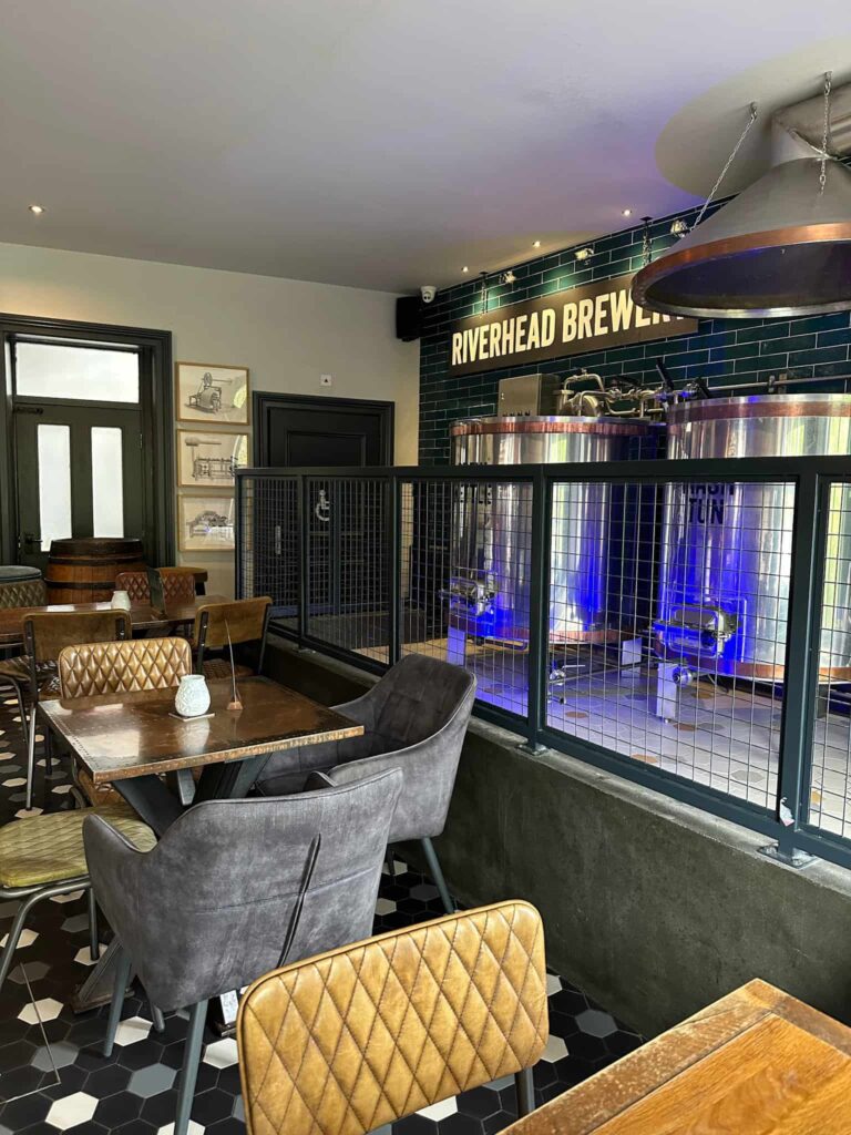
This was a lovely walk, and we barely saw anyone else on the moors. We had lunch in Marsden at The Riverhead Brewery Tap and it was delicious – I definitely recommend the Bao Bros!

Walk Map (Opens in OS Maps): Marsden 3 Peaks Walk
Parking: We parked on Reddisher Road, Marsden HD7 6NF (W3W:///long.saved.cuter). Please be mindful of residents and other road users, and park safely.
Facilities: There are lots of great pubs, cafes and shops in Marsden. There is nothing on the route other than Standedge Tunnel Visitors Centre which has a cafe and toilets.
Walk Time: 4-5 hours
Difficulty: ▲▲
Distance: 9.8 miles (15.77km)
Trig Points Bagged: Standedge Edge, Cupwith Hill
You might also like: