• 3 Mile Walks or Less
  • 4 Mile Walks
  • 5 Mile Walks
  • 6 Mile Walks
  • 7 Mile Walks
  • 8 Mile Walks
  • 9 Mile Walks
  • 10 Mile Walks
  • 11 Mile Walks
  • 12 Mile Walks
  • 14 Mile Walks
  • 15 Mile Walks
  • 20+ Mile Walks

The Wandering Wildflower

Peak District Hikes

  • PEAK DISTRICT WALKS
    • SHORT WALKS UNDER 3 MILES
    • MEDIUM WALKS 4-9 MILES
    • LONG PEAK DISTRICT WALKS 10 MILES +
  • PEAK DISTRICT WALKS WITH PUBS
  • PEAK DISTRICT WALKS WITH KIDS
  • HOLMFIRTH WALKS

Bolehill Quarry, Higger Tor and Padley Gorge Walk | 7.5 Miles

February 11, 2024 CIRCULAR WALKS, MEDIUM WALKS 4-9 MILES, PEAK DISTRICT WALKS, PEAK DISTRICT WALKS WITH KIDS

This Peak District walk is great for history fans – we explored the site of the abandoned Bolehill Quarry before heading off to Surprise View, Higger Tor, Burbage Rocks and back through Padley Gorge. At 7.5 miles this walk has lots of points of interest, exploring the beautiful Dark Peak moorlands.


Some abandoned millstones in the woods at Bolehill Quarry


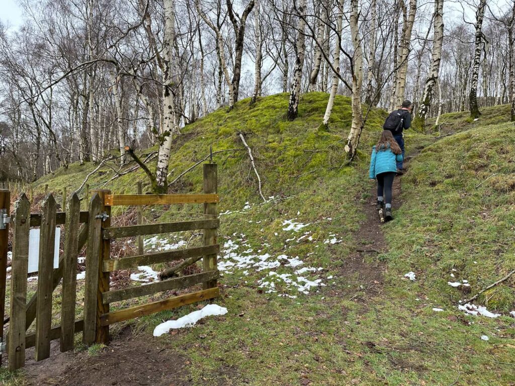
In the early 1900s, Bolehill Quarry was a bustling industrial site that provided stone for the nearby Howden and Derwent dams. Evidence of railways for transporting stone away from Bolehill still remain, with the steep incline leading down to the railway line, just west of Grindleford Station. This incline and the quarry are now being reclaimed by nature, with a forest of silver birch trees having taken over, and the quarry is a peaceful place for wildlife and walkers alike.


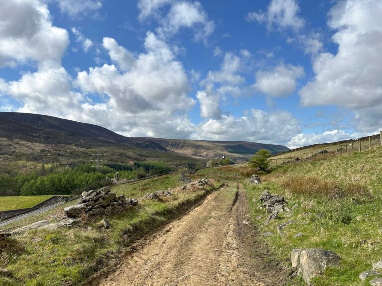
We started our walk from Grindleford railway station and walked north over the railway tracks, passing Grindleford Station cafe and Totley Tunnel, built in 1893 and at the time of construction was the second-longest railway tunnel in the UK. The tunnel runs for some 3 miles under the moors between Totley and Grindleford.


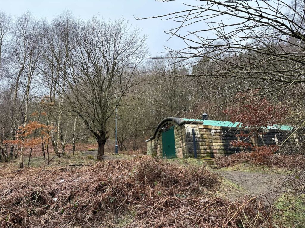
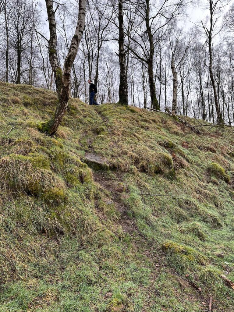
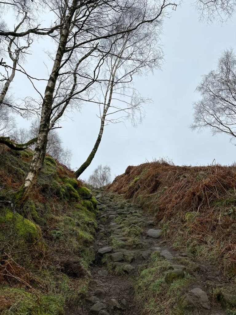
The path continues past the very beautiful old bridge and mill. We turned right up the hillside, walking until we reached a wooden gate with a National Trust sign for Padley Gorge. Here there’s a building which I presume is something to do with the railway but I’m not sure what for! We crossed in front of it and climbed up the woodland path onto one of the lower levels of Bolehill Quarry, leading to the former winding house (you can see how this used to look on this picture).

A stone path leading to a National Trust sign for Padley Gorge

A building in the woods

The mysterious building in the woods, presumably something to do with the railway! You can just make out the path that runs in front of it and off up into the woods to the left of it.

The former winding house for Bolehill Quarry

The former winding house for Bolehill Quarry


Here we joined the route of the former railway incline and followed it over the rocks up to an open area. We then climbed up another level and walked south until we reached a gate leading up on top of another quarry face.


A former railway incline, now reclaimed by nature - at Bolehill Quarry

A former railway incline, now reclaimed by nature, with an abandoned millstone - at Bolehill Quarry

A grassy path through the woods

A stony track through the woods

A wooden gate in the foreground with a man and his daughter climbing up a hillside to the right

From here we walked north along the main route through the quarry until we reached a wooden gate. We turned right at the gate, climbing up onto the higher terraced levels, and then we came across the quarry pond. This water looked a bit manky and was full of dead trees and branches.


A quarry face with pond below

A quarry face with pond below


We left the pond and climbed up the hillside, before dropping back down the other side because we’d spotted the huge pile of abandoned millstones. Millstones have been produced here for hundreds of years but the trade declined before these could be put to use, so will remain here – perhaps forever! There are loads of them lying around, with some more dotted in the woods lower down. We always play a game with Hols whereby she gets a sweet if we see any millstones – she was VERY happy with the haul here!


Some abandoned millstones in the woods at Bolehill Quarry

Some abandoned millstones in the woods at Bolehill Quarry

Some abandoned millstones in the woods at Bolehill Quarry


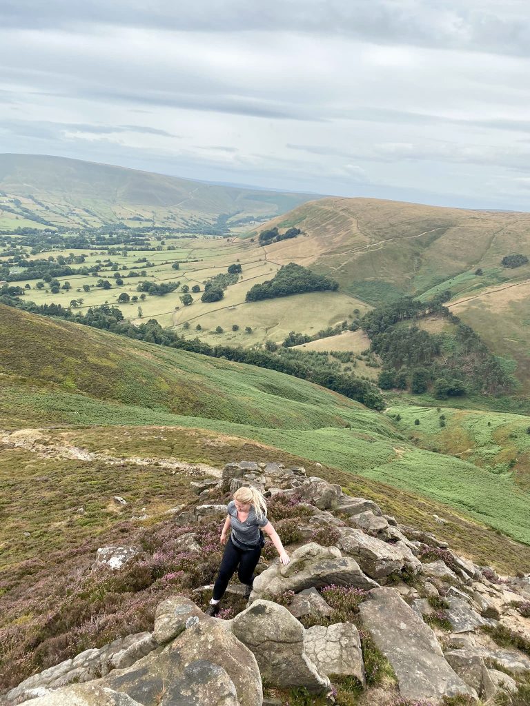
We walked along past the millstones then started to climb back up the hillside, passing through a gate and out onto the road at Surprise View. From here we walked up along the top of Millstone Edge and then along the moorland paths below Over Owler Tor. We climbed up to Higger Tor and had a wander along the top, admiring the view over to Carl Wark, the Iron Age hillfort, and back to Over Owler Tor.


A woman and her daughter walking on the moors

A view of Over Owler Tor from Higger Tor


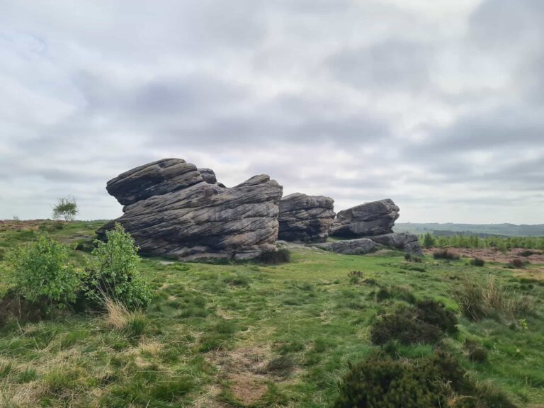
From here we walked along the Fiddlers Elbow path towards Upper Burbage Bridge and crossed the streams under the bridges. We then set off along the path down past Burbage Rocks, looking out for bullet holes in the rock as this area was used as a training ground for WW2 soldiers. The views over towards Carl Wark and Higger Tor are fabulous from here.


A well made track running across the moors

Moorland views of Higger Tor and Carl Wark from Burbage Rocks

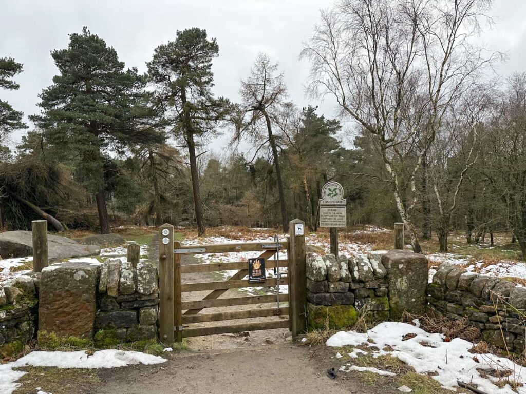
We walked through a herd of friendly cows, and then reached a gate out onto the road. We crossed the road, passing the National Trust sign for the Longshaw Estate, and walked through a small woodland to another wooden gate.

A Highland Cow style calf looking at the camera

A wooden gate with a National Trust sign to Longshaw Estate


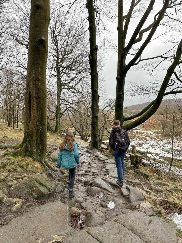
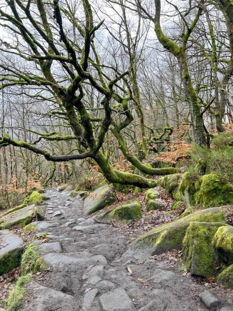
Through this gate, we turned left and followed the stone cobbled track down to a wooden bridge over Burbage Brook. We followed the path alongside Burbage Brook, which alternated between stone slabs like the Pennine Way and mud, until we came to another bridge over the river. Here we stayed on the right hand bank of Burbage Brook and followed the path as it wound its way through Padley Gorge.


A man and his daughter walking through some woodland

A woman with blonde hair stood on a wooden bridge over a river

A waterfall in the woods

A muddy path through ancient woodland, with gnarly winding trees

A muddy path through ancient woodland, with gnarly winding trees


The path eventually comes back to the mysterious building we passed near the start of the walk, and we retraced our steps back down the hill, past the old mill, over the bridge and back to Grindleford Train Station.


This was a super interesting, varied walk, with lots to explore. If you wanted a shorter walk the old quarry has enough to keep the kids occupied for an hour or two – I want to go back and explore further down the railway incline!


Walk Details:


Walk Map (Opens in OS Maps): Bolehill Quarry, Higger Tor and Padley Gorge Walk

Parking: We parked on the roadside near Grindleford Train Station, Hope Valley S32 2JA W3W:///investors.dormant.washable

Facilities: There is a public toilet and cafe at Grindleford Station

Walk Time: 4-5 hours depending on how long you spend exploring the old quarry!

Difficulty: ▲▲

Distance: 7.5 miles (12km)

Elevation: 1,150ft (387m)

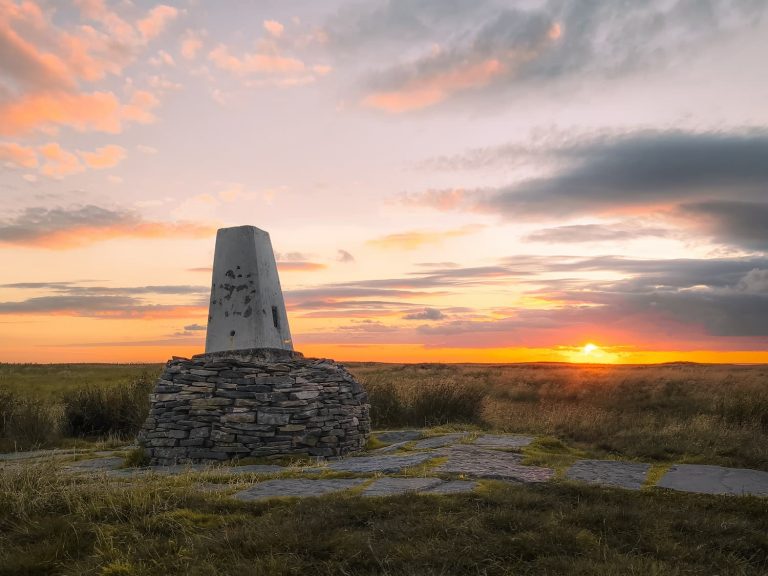
Trig Points Bagged: None

Peak District Peaks Bagged: Higger Tor

Peak District Ethels Bagged: Higger Tor


For more hikes around old quarries, you might like:

Crowden Circular Walk via Crowden Quarry

Mount Famine, South Head and Chinley Churn Walk


Tap to share with your hiking friends!

  • Facebook
  • Email
  • WhatsApp
« Holme Valley Circular Walk | 24 Miles
Derwent Edge Walk | 8 Miles »

RELATED POSTS

  • Hathersage Stepping StonesHathersage Stepping Stones Walk | 7 Miles
  • Ladybower ReservoirLadybower Walk | 6 Miles
  • Anvil Stone, GrindsbrookGrindsbrook Clough Scramble to Grindslow Knoll | 7 Miles
  • Folly Dolly Falls - Get the route map and where to parkHow to Find Folly Dolly Falls

Leave a Reply Cancel reply

Your email address will not be published. Required fields are marked *

FIND YOUR NEXT WALK:

ABOUT ME

Y Garn with Kids - Y Garn via the Devil's Kitchen Walk in Ogwen Valley

Hello! I’m Jo! Welcome to The Wandering Wildflower, an outdoors lifestyle blog focusing on family walks in the Peak District, a place we love exploring. I want to share the Peak District hidden gems and show you there’s so much more than the honeypot places. When I’m not dragging my husband and now 11 year old out on Peak District walks or up mountains, I can be found on planning my next moorland walk or plotting a Geocache walk (and seeing where the nearest pub is!). I love the hills but hate the heights, so trig bagging is – er- fun!


I hope this blog will give you some ideas of places to visit in the Peak District and inspire you and your family to head into the great outdoors.  Thanks for stopping by!

CATEGORIES

  • CIRCULAR WALKS (188)
  • HOLMFIRTH WALKS (27)
  • ISLE OF SKYE WALKS (3)
  • LAKE DISTRICT WALKS (23)
  • LANCASHIRE WALKS (2)
  • LONG PEAK DISTRICT WALKS 10 MILES + (42)
  • MEDIUM WALKS 4-9 MILES (136)
  • PEAK DISTRICT SCRAMBLES (16)
  • PEAK DISTRICT WALKS (202)
  • PEAK DISTRICT WALKS WITH KIDS (75)
  • PEAK DISTRICT WALKS WITH PUBS (60)
  • SCOTLAND WALKS (6)
  • SHORT WALKS UNDER 3 MILES (40)
  • SNOWDONIA WALKS (5)
  • UK CAMPING (5)
  • YORKSHIRE WALKS (33)

Peak District Walks

List of Peak District Ethels

Peak District Peak Bagging

Peak District Trig Point Challenge

Peak District Walks with Pubs

Peak District Walks with Kids

Beautiful Walks in Holmfirth

Short Walks in the Peak District

Long Walks in the Peak District

AFFILIATE DISCLOSURE

This blog may contain affiliate links through which, at no additional cost to you, I may earn a small commission. I only recommend products I would use myself and all opinions expressed here are my own. As an Amazon Associate I earn from qualifying purchases. Read full privacy policy here.

ARCHIVES

PEAK DISTRICT WEATHER

Peak District mountain weather on Met Office

Peak District Trig Points

Promo image for a blog post about the Peak District Trig Point Challenge With Map of Peak District Trig Points and Walking Routes by The Wandering Wildflower

Peak District Ethels Challenge

Promo image for a blog post about the Peak District Trig Point Challenge With Map of Peak District Ethels and Walking Routes by The Wandering Wildflower

WALKING ROUTES STRAIGHT TO YOUR INBOX

Want new walks in your inbox? Drop your email below and I'll send you some ideas for walks you can try.

You can unsubscribe anytime. For more details, review our Privacy Policy.

Thank you!

You have successfully joined our subscriber list.

RSS LATEST POSTS

  • Bretton Park Circular Walk | 3 Miles
  • Hathersage Stepping Stones Walk | 7 Miles
  • Ladybower Walk | 6 Miles
  • Derbyshire Peak District Walks
  • Souther Fell, Mungrisdale Common, Bannerdale Crags and Bowscale Pike | 11 Miles

FOLLOW ON PINTEREST

Want new walks in your inbox? Drop your email below and I'll send you some ideas for walks you can try.

You can unsubscribe anytime. For more details, review our Privacy Policy.

Thank you!

You have successfully joined our subscriber list.

jo@thewanderingwildflower.co.uk

The Wandering Wildflower

  • Email
  • Facebook
  • Instagram
  • Pinterest
  • PRIVACY POLICY
  • TERMS & CONDITIONS
  • ABOUT

(c) The Wandering Wildflower. All Rights Reserved.

|| THEME BY ECLAIR DESIGNS